Elevation of Bryant, IN, USA
Location: United States > Indiana > Jay County > Bearcreek Township >
Longitude: -84.963856
Latitude: 40.5333789
Elevation: 266m / 873feet
Barometric Pressure: 98KPa
Elevation Map:
Satellite Map:
Related Photos:

Fire Flower

Limberlost Creek

Wabash River

Skull-Face

shadow's view

Amish Crew

Twin Hills 1910

Rainbow Bottom Farm

Autumn Gold

Snipe?

Linn Grove
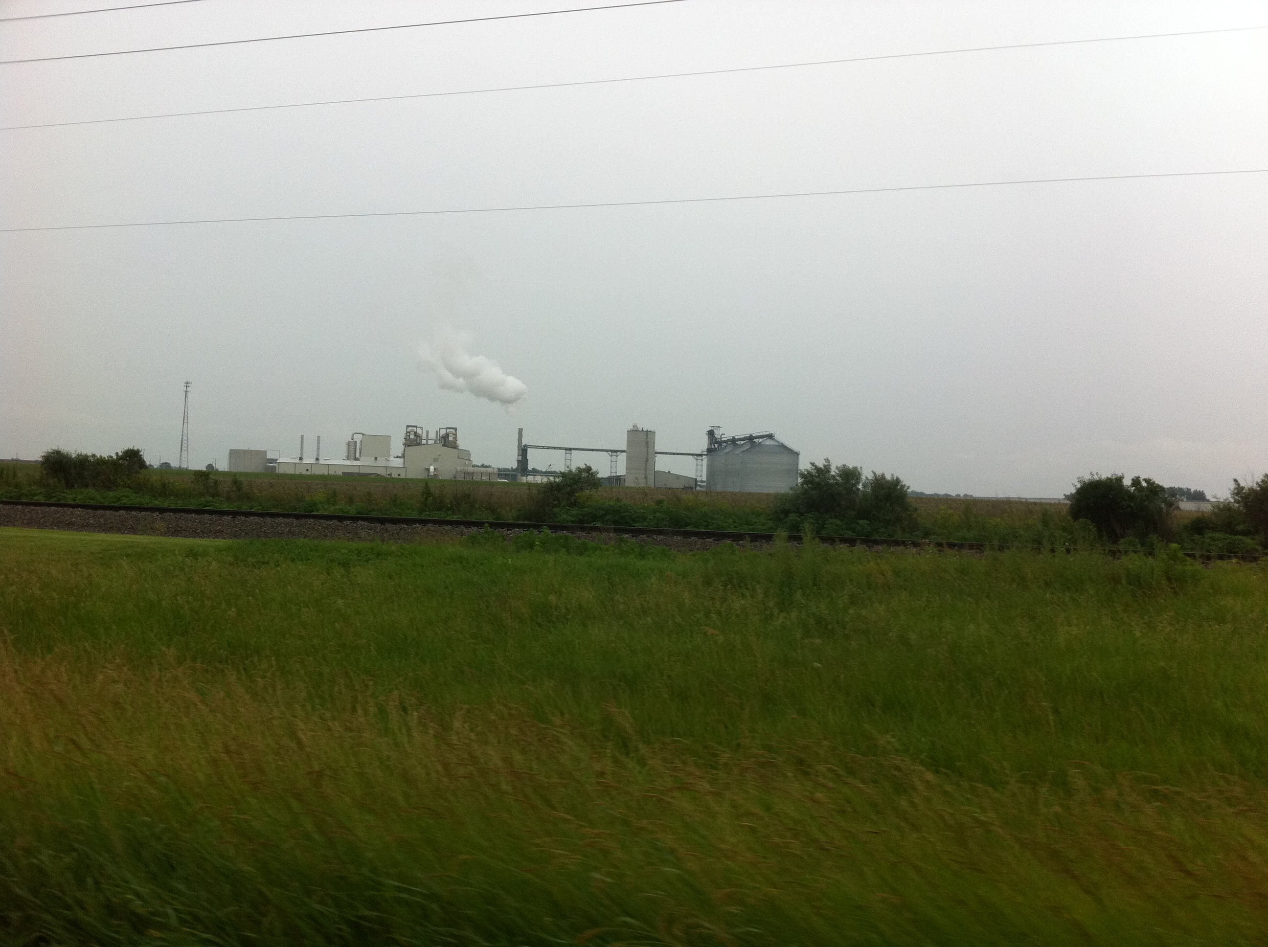
Ethanol Plant near Portland
2013 06 16_0106_edited-1.JPG

2013 06 16_0101_edited-2.psd

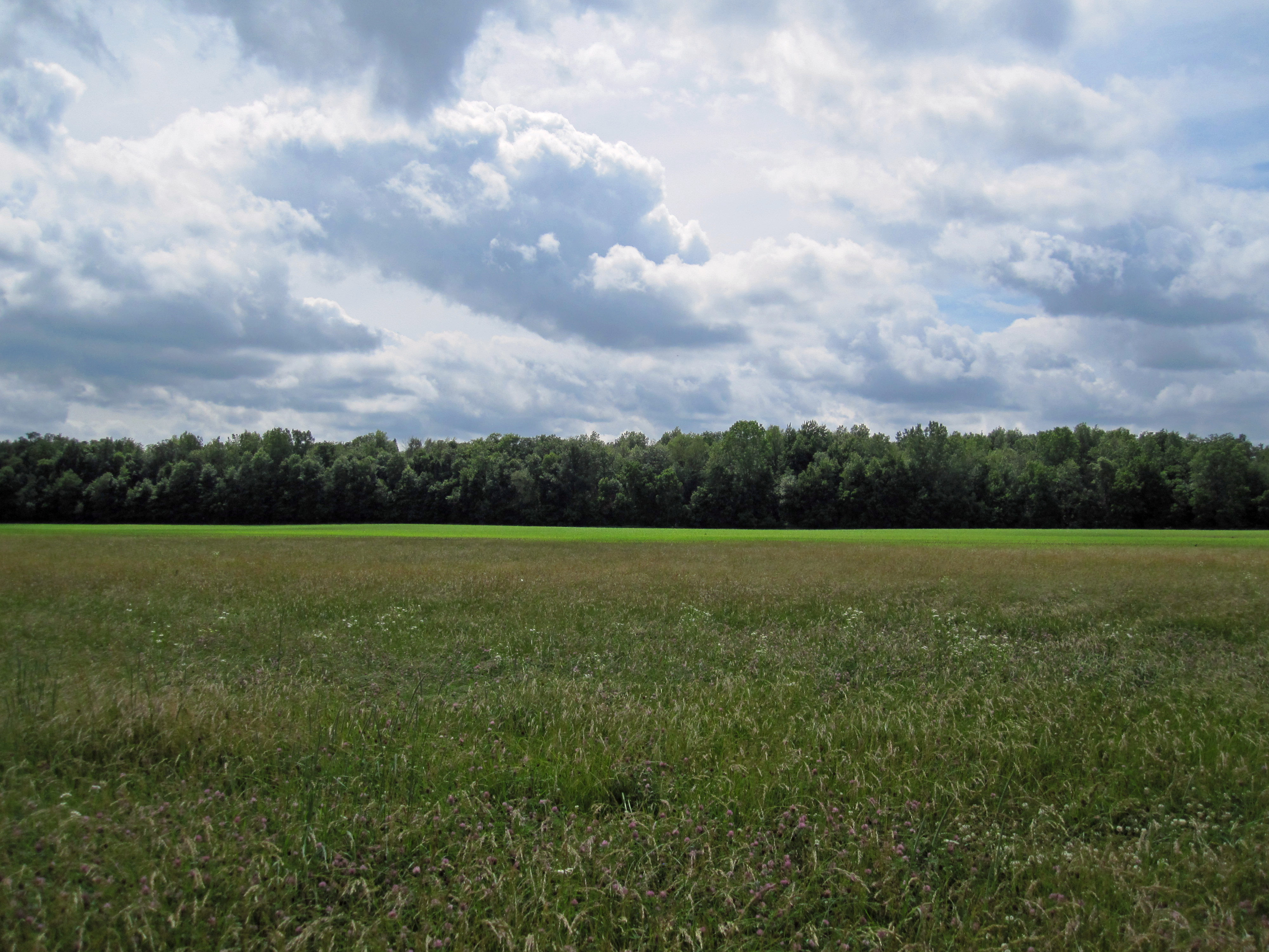
Clouds!
Topographic Map of Bryant, IN, USA
Find elevation by address:

Places in Bryant, IN, USA:
Places near Bryant, IN, USA:
E Wilson St, Bryant, IN, USA
Bloomfield Elementary School
Antiville
Bearcreek Township
705 E 300 N
Geneva
3463 E 400 N
3461 E 400 N
925 N Franklin St
North Depot Street
Portland
100 In-26
1003 W High St
Jay County
125 Rose Drive
E N, Portland, IN, USA
Noble Township
St. Anthony
OH-49, Fort Recovery, OH, USA
Washington Township
Recent Searches:
- Elevation of Leguwa, Nepal
- Elevation of County Rd, Enterprise, AL, USA
- Elevation of Kolchuginsky District, Vladimir Oblast, Russia
- Elevation of Shustino, Vladimir Oblast, Russia
- Elevation of Lampiasi St, Sarasota, FL, USA
- Elevation of Elwyn Dr, Roanoke Rapids, NC, USA
- Elevation of Congressional Dr, Stevensville, MD, USA
- Elevation of Bellview Rd, McLean, VA, USA
- Elevation of Stage Island Rd, Chatham, MA, USA
- Elevation of Shibuya Scramble Crossing, 21 Udagawacho, Shibuya City, Tokyo -, Japan