Elevation of Brown Cir, Connelly Springs, NC, USA
Location: United States > North Carolina > Burke County > Lovelady > Connelly Springs >
Longitude: -81.451613
Latitude: 35.7639039
Elevation: 354m / 1161feet
Barometric Pressure: 97KPa
Elevation Map:
Satellite Map:
Related Photos:

Hobo Highway #2 11/52
In the Country 22/52

Aging 36/52

Beautiful day at the @hickorycrawdads game w/ @cindyyountlc86, @shelaeveridge, and Miss Lil #catawbacounty #nc #baseball

IMG_20170912_220719-01
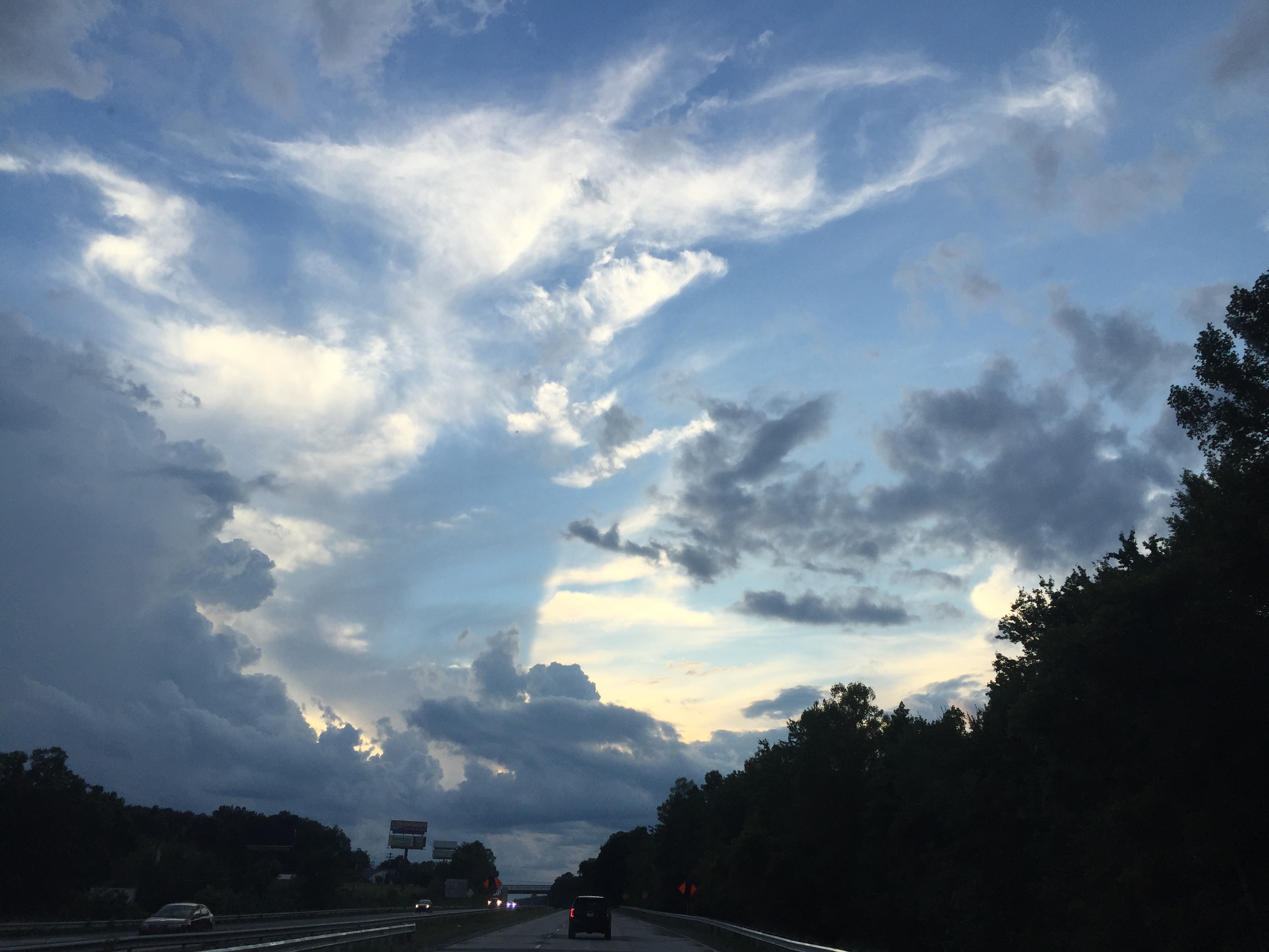
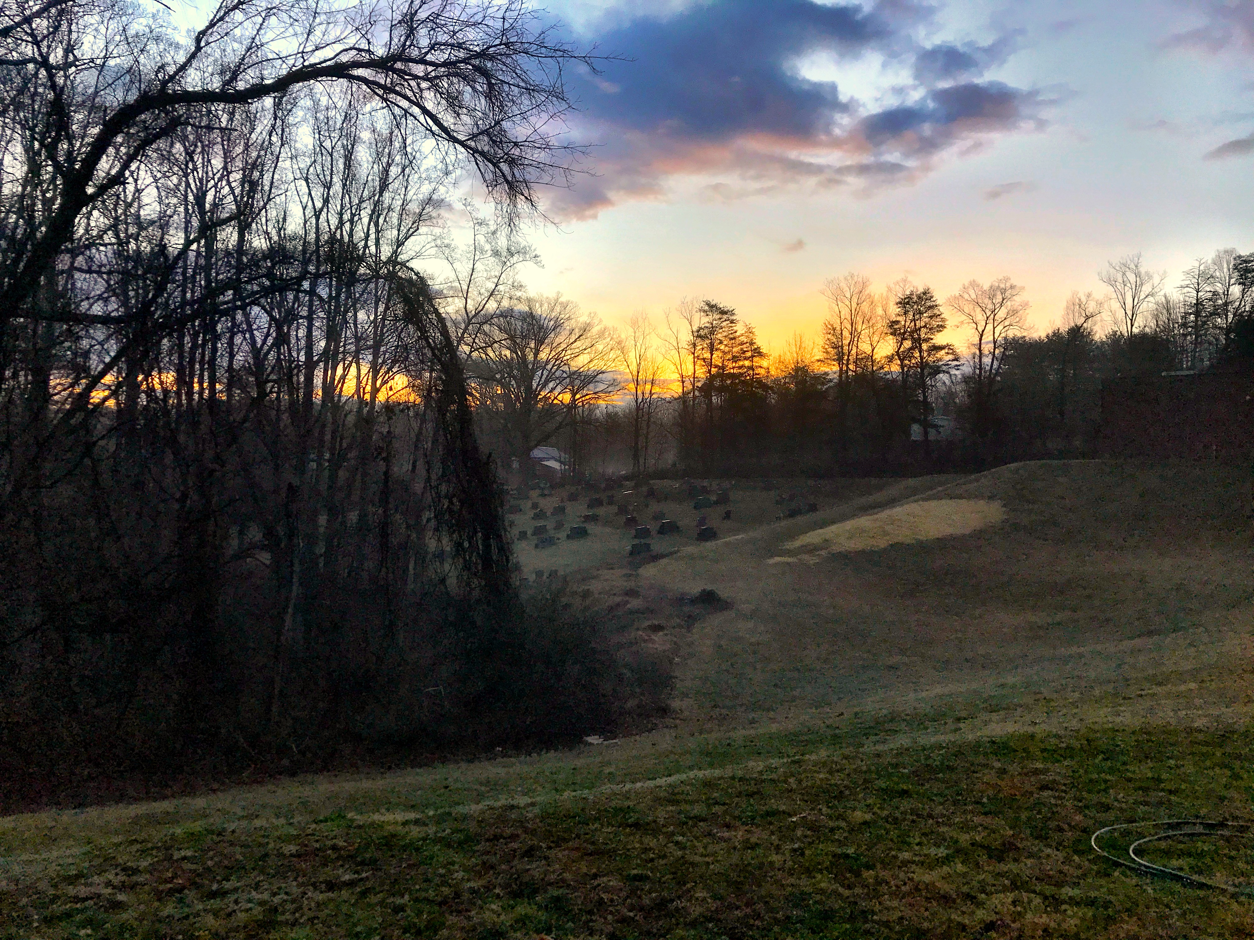
Clouds at sunset

Carolina Country 10/52

Hobo Highway
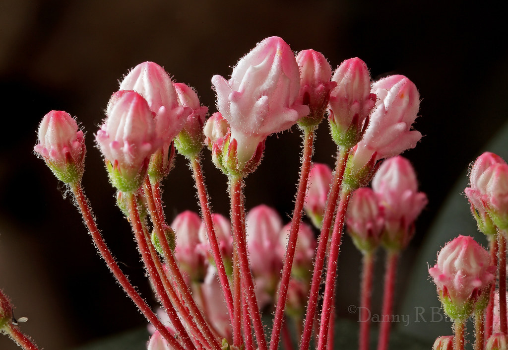
Mountain Laurel
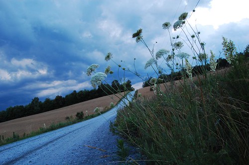
Uneasy Roads

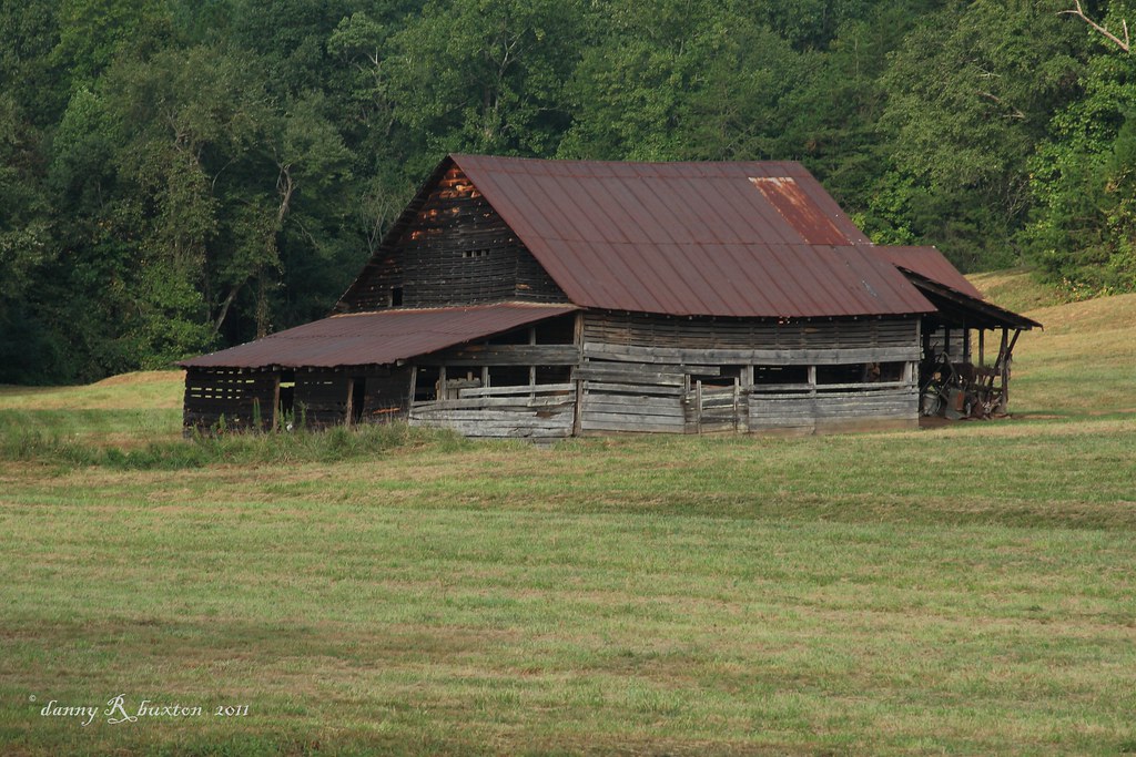
Mountainside Barn 11/52

Mothers Day Lily 20/52
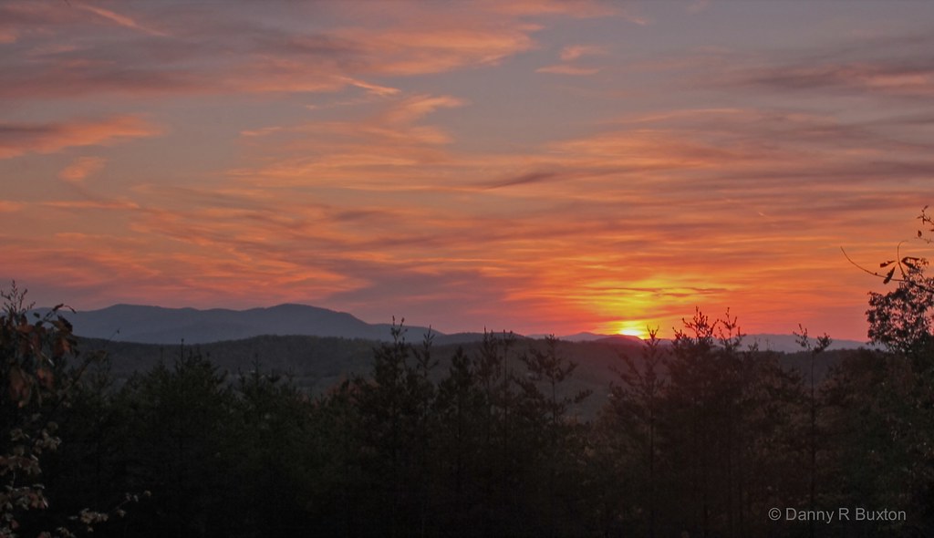
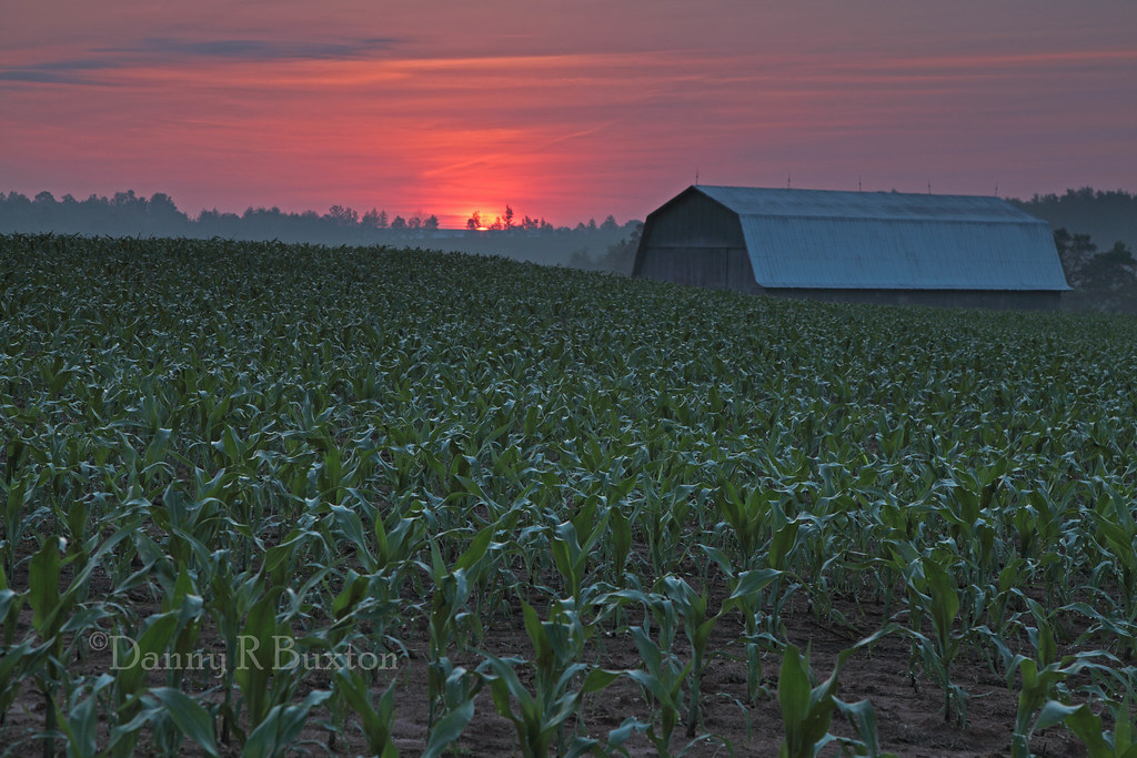
Sundown in Burke 304/365
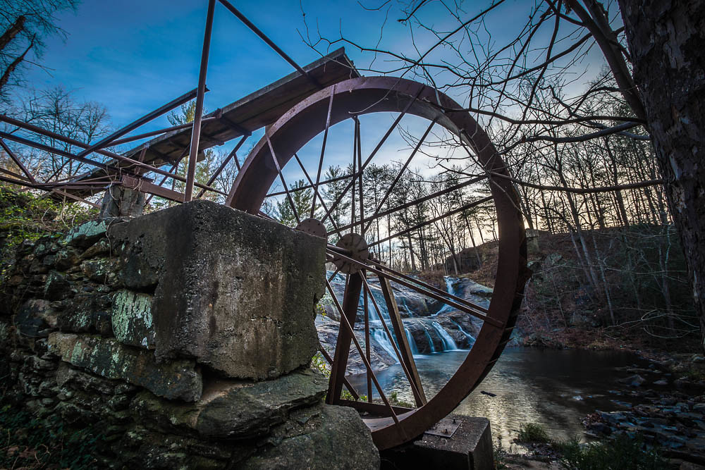
McGalliard Falls Water Wheel

Repetition 6/52

Main Street at 5:00 am 350/365 (Explore 12/16/2011)
Oh What A Mooring

“In Remembrance; 9-11-2001” 255/365
Punkin Farm 241/365

McGalliard Falls
McGalliard Falls - 08
Topographic Map of Brown Cir, Connelly Springs, NC, USA
Find elevation by address:

Places near Brown Cir, Connelly Springs, NC, USA:
Rhodhiss
10 Magnolia Way, Granite Falls, NC, USA
205 Magnolia St
2888 Hayes Mill Rd
4016 Yount Pl
Granite Falls
4 Hillside Ave
Icard
10 Clearview St
Icard
1843 Us-70
119 Driftwood Dr
1344 Sunset Point Dr
7091 Knobs Landing
4686 Sawmills School Rd
Pine Street
2629 Shady Grove Rd
12 Lake St
2396 Dry Ponds Rd
Woodland Drive
Recent Searches:
- Elevation of 6 Rue Jules Ferry, Beausoleil, France
- Elevation of Sattva Horizon, 4JC6+G9P, Vinayak Nagar, Kattigenahalli, Bengaluru, Karnataka, India
- Elevation of Great Brook Sports, Gold Star Hwy, Groton, CT, USA
- Elevation of 10 Mountain Laurels Dr, Nashua, NH, USA
- Elevation of 16 Gilboa Ln, Nashua, NH, USA
- Elevation of Laurel Rd, Townsend, TN, USA
- Elevation of 3 Nestling Wood Dr, Long Valley, NJ, USA
- Elevation of Ilungu, Tanzania
- Elevation of Yellow Springs Road, Yellow Springs Rd, Chester Springs, PA, USA
- Elevation of Rēzekne Municipality, Latvia