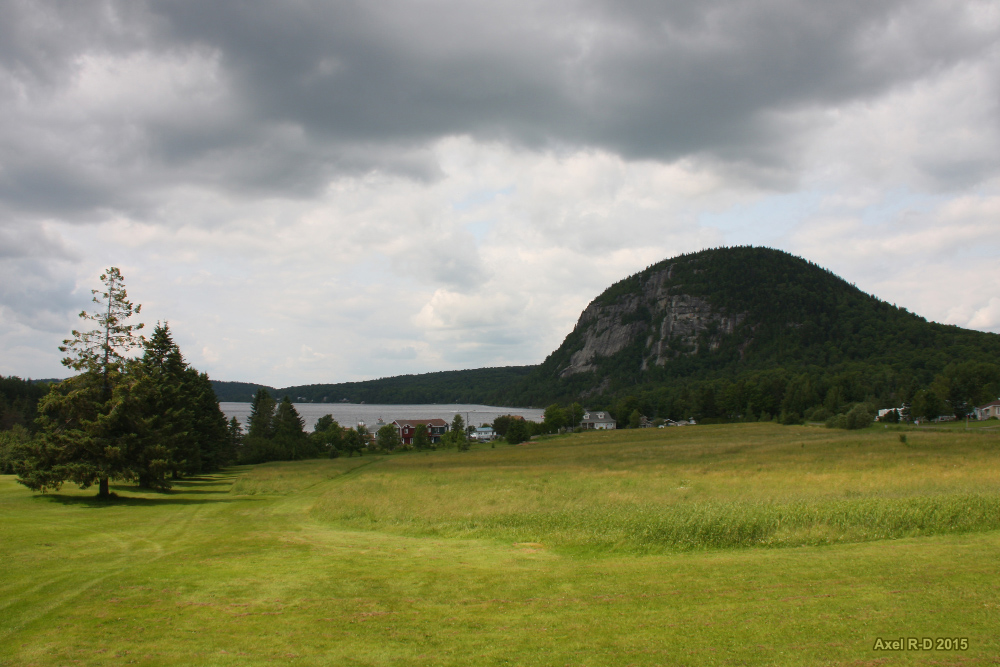
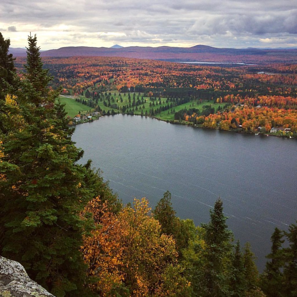
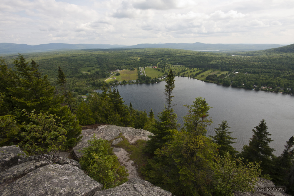
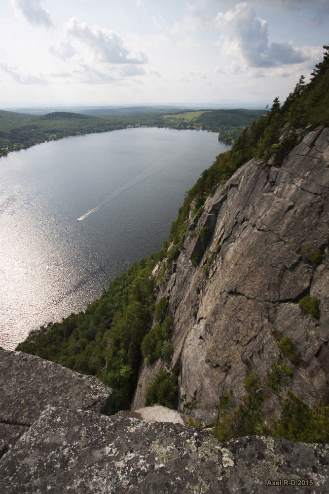
Elevation of Brousseau Mountain, Norton, VT, USA
Location: United States > Vermont > Essex County > Norton >
Longitude: -71.740371
Latitude: 44.96838
Elevation: 818m / 2684feet
Barometric Pressure: 92KPa
Elevation Map:
Satellite Map:
Related Photos:
Ode to Joy

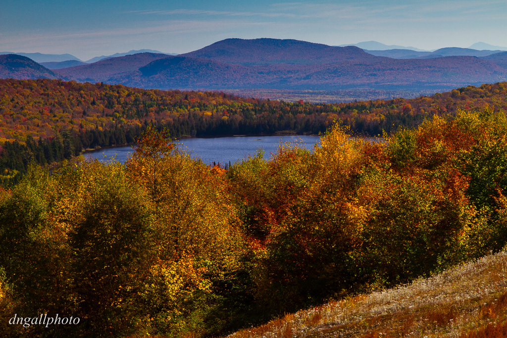
Northeast Kingdom
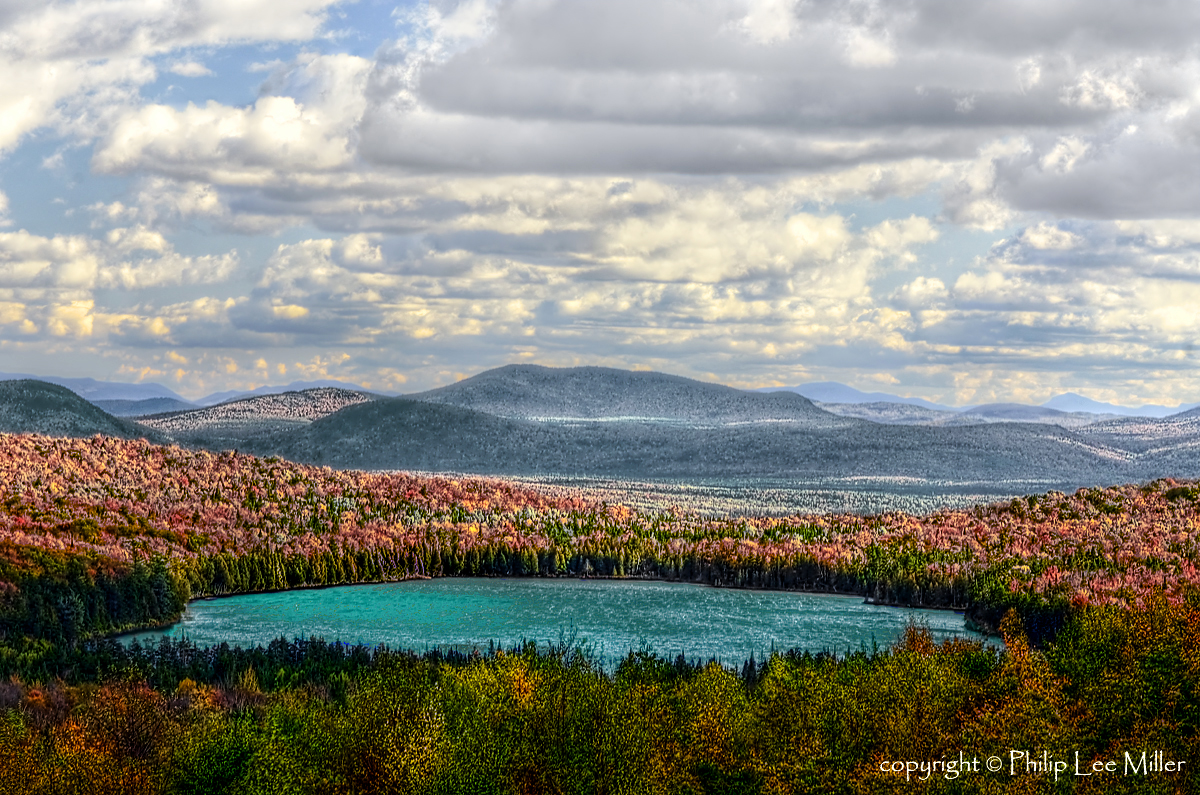
View to the Mountains
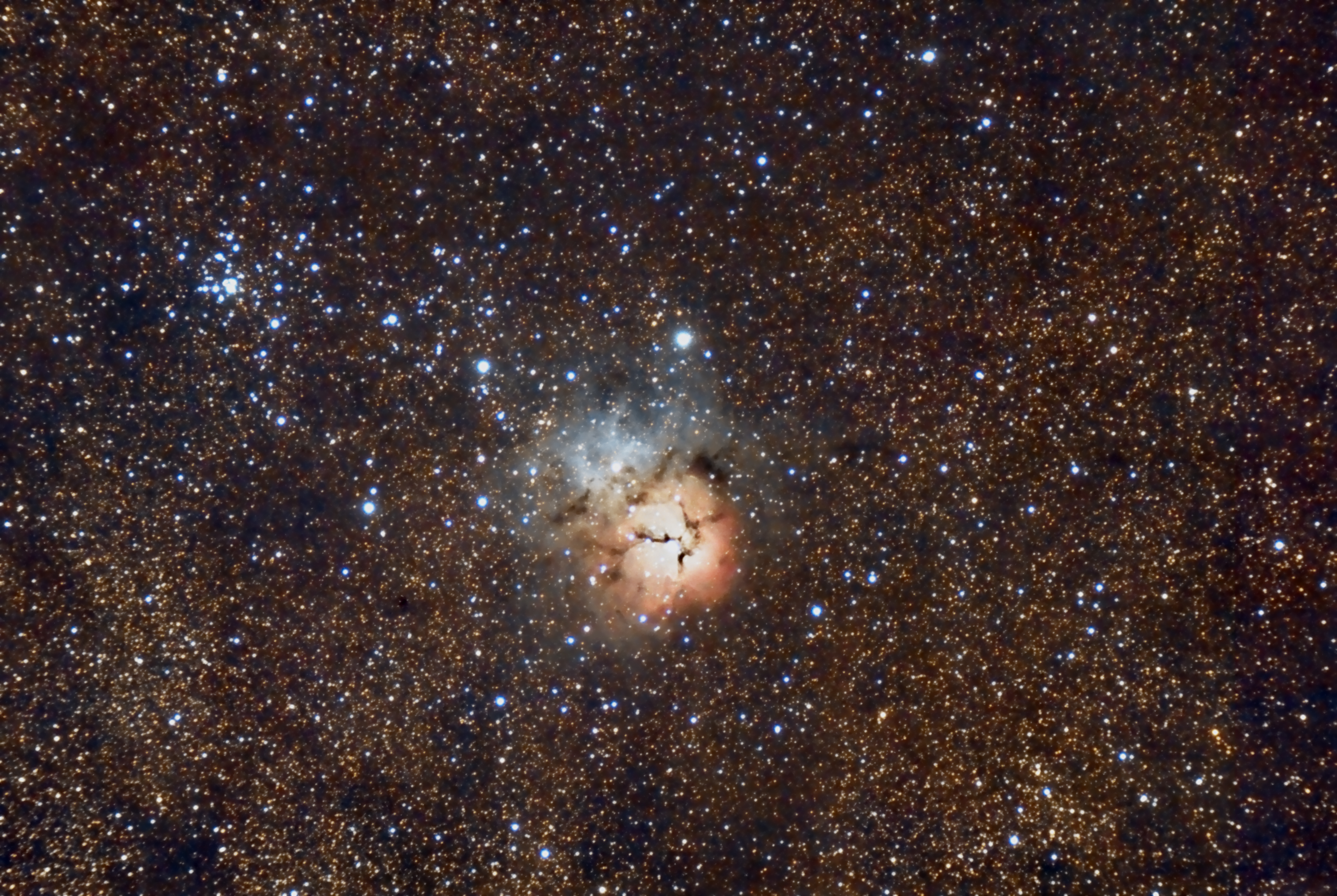
M20 Triffid Nebula

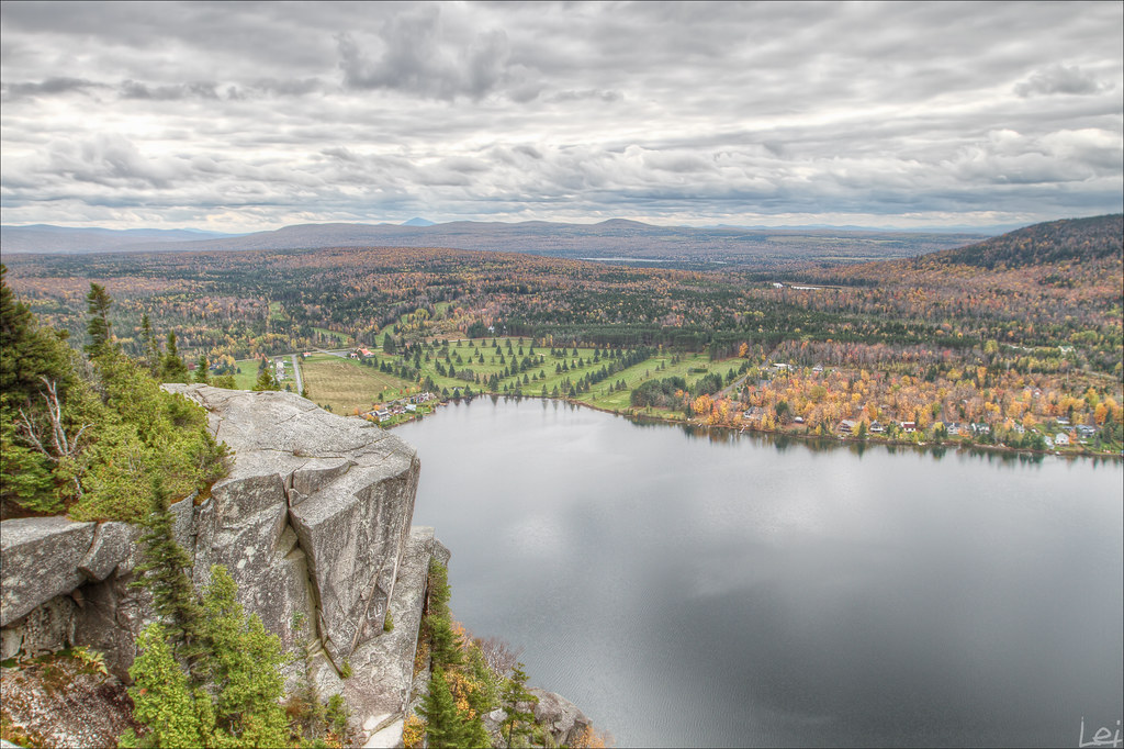
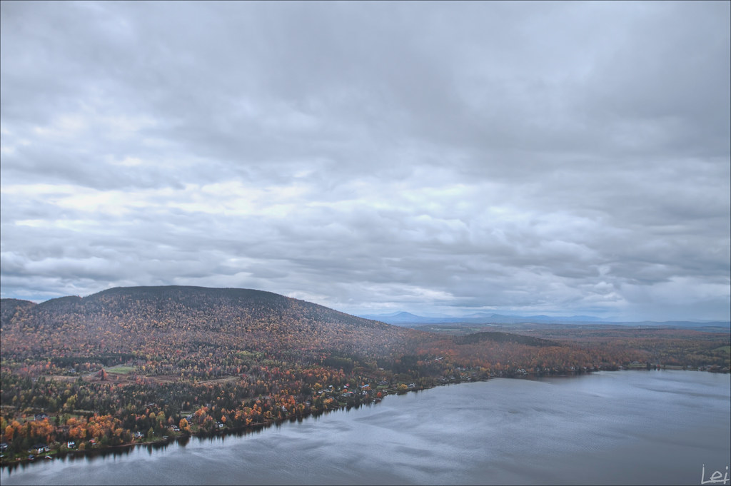
Lewis Pond in the Clouds
"mont pinacle"
"untitled #40"
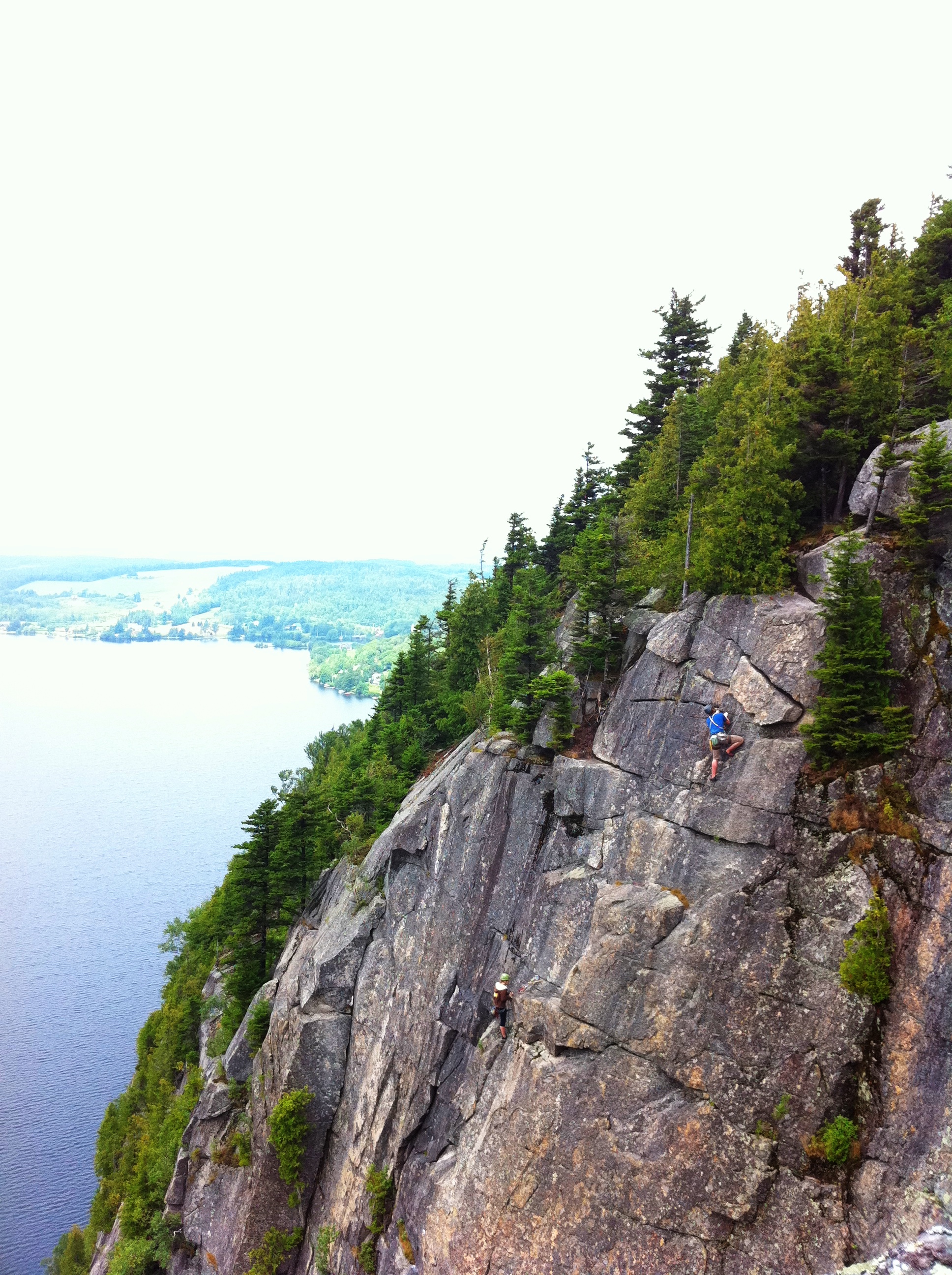
Climbers 2
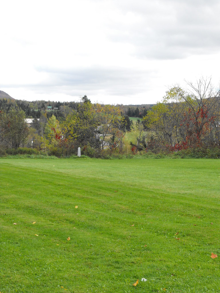
US-Canada Border at Stanhope
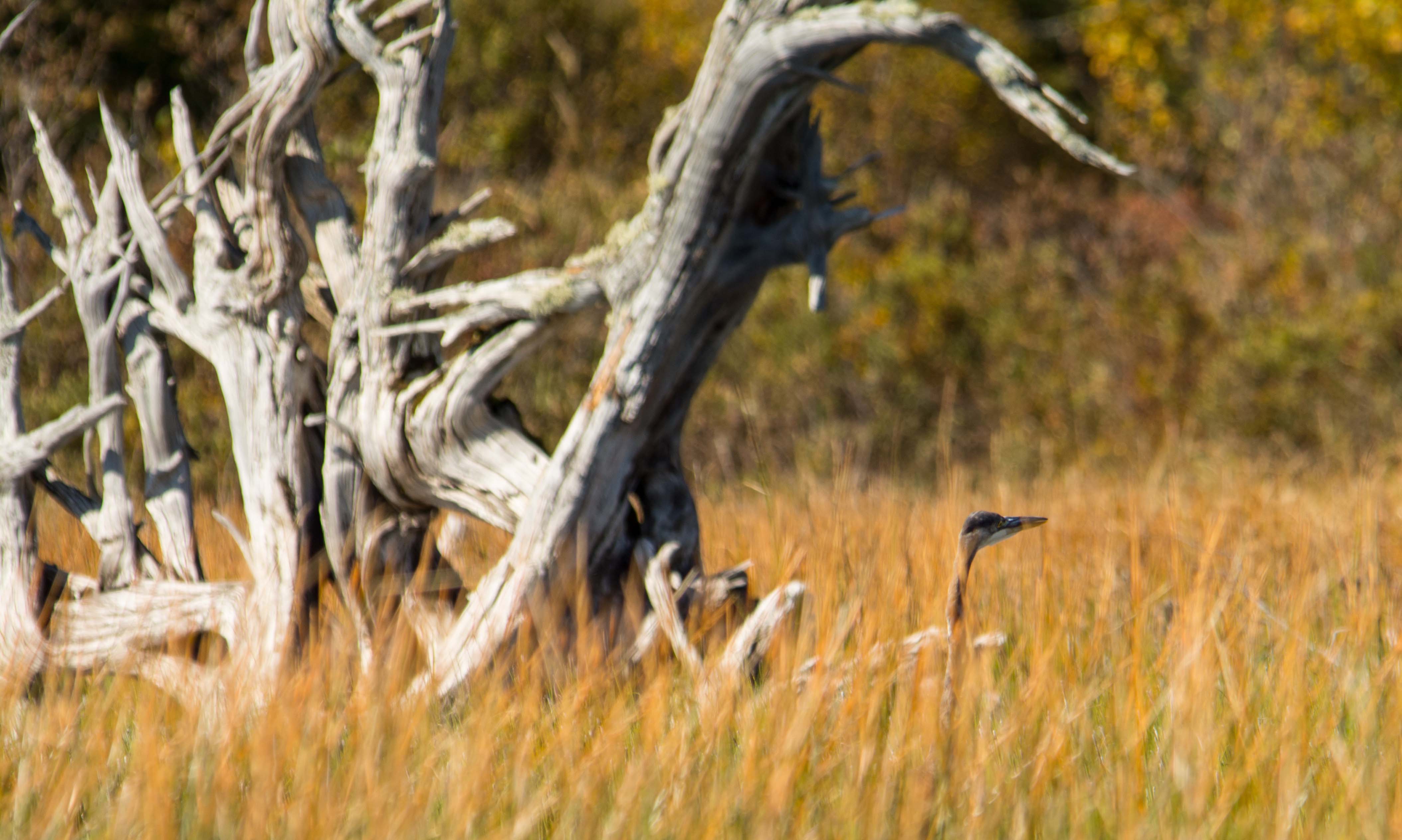
Blue Heron in the tall grass at Little Averill Pond
Mont Pinacle - Estrie
Lac Lyster
Mont Pinacle - Estrie
Mont Pinacle - Estrie
Topographic Map of Brousseau Mountain, Norton, VT, USA
Find elevation by address:

Places near Brousseau Mountain, Norton, VT, USA:
234 Gaudette Rd
Lewis
Avery's
Brighton
Essex County
22 S Shore Rd
Island Pond
346 White Hill Loop
2009 Vt-111
523 Toad Pond Rd
601 E Haven Rd
Morgan
S America Camp Trail, Island Pond, VT, USA
1920 Mead Hill Rd
668 Newark Rd
East Charleston
306 Old County Rd
Center Pond Road
1991 Center Pond Rd
4260 Vt-105
Recent Searches:
- Elevation of Groblershoop, South Africa
- Elevation of Power Generation Enterprises | Industrial Diesel Generators, Oak Ave, Canyon Country, CA, USA
- Elevation of Chesaw Rd, Oroville, WA, USA
- Elevation of N, Mt Pleasant, UT, USA
- Elevation of 6 Rue Jules Ferry, Beausoleil, France
- Elevation of Sattva Horizon, 4JC6+G9P, Vinayak Nagar, Kattigenahalli, Bengaluru, Karnataka, India
- Elevation of Great Brook Sports, Gold Star Hwy, Groton, CT, USA
- Elevation of 10 Mountain Laurels Dr, Nashua, NH, USA
- Elevation of 16 Gilboa Ln, Nashua, NH, USA
- Elevation of Laurel Rd, Townsend, TN, USA