Elevation of Brooksie Thompson Rd, Bath Springs, TN, USA
Location: United States > Tennessee > Decatur County > Bath Springs >
Longitude: -88.162299
Latitude: 35.428654
Elevation: 144m / 472feet
Barometric Pressure: 100KPa
Elevation Map:
Satellite Map:
Related Photos:
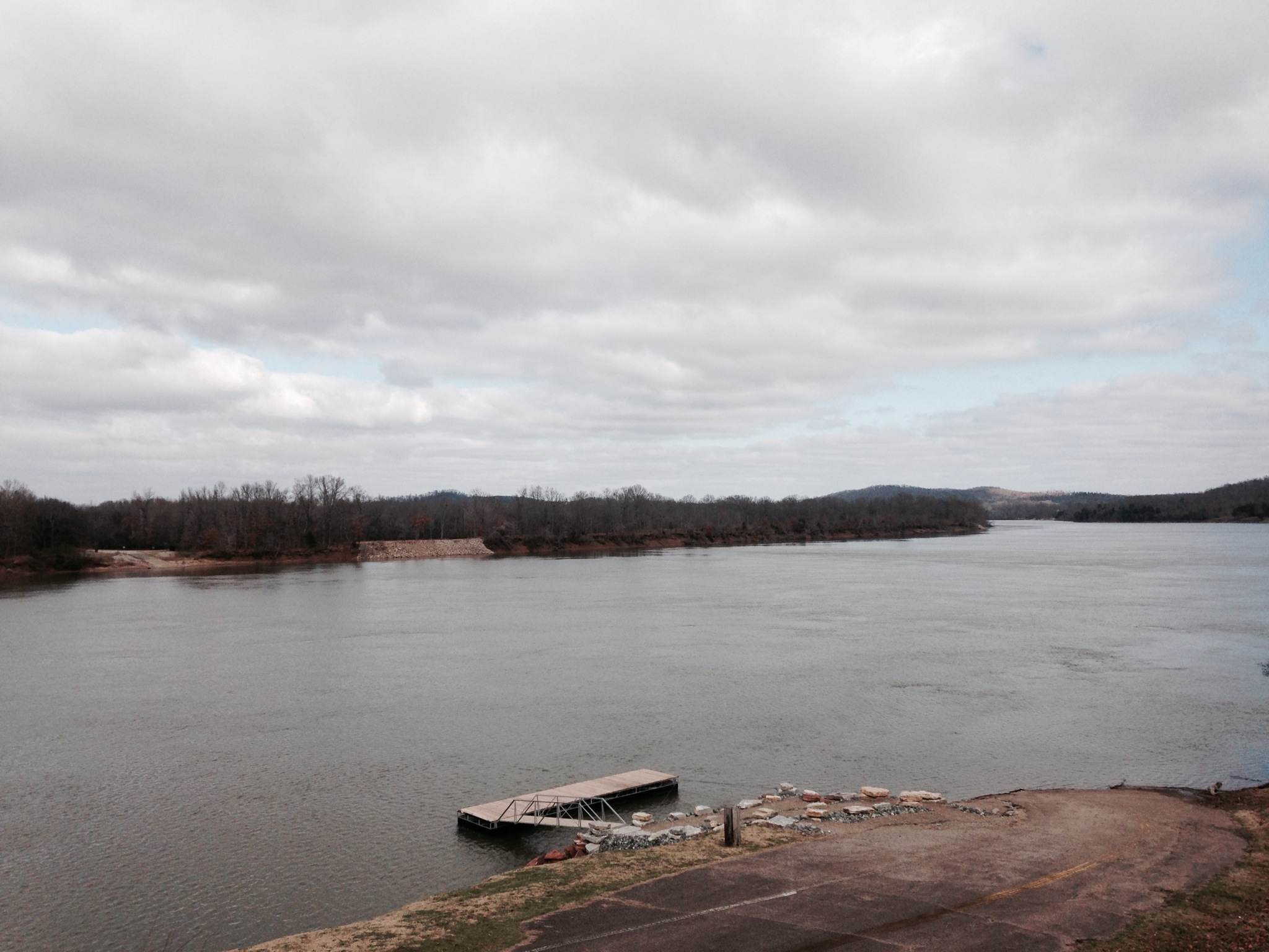
Old docks from the Clifton Ferry

Grandpa Teddy
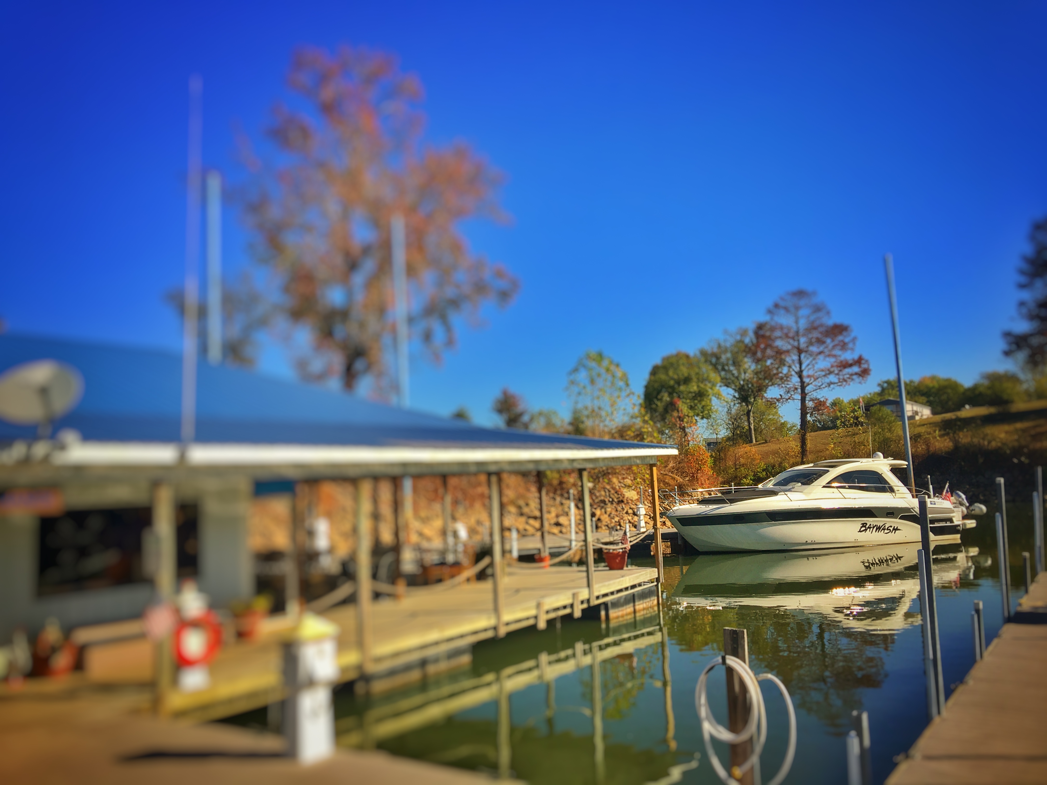
FullSizeRender 196
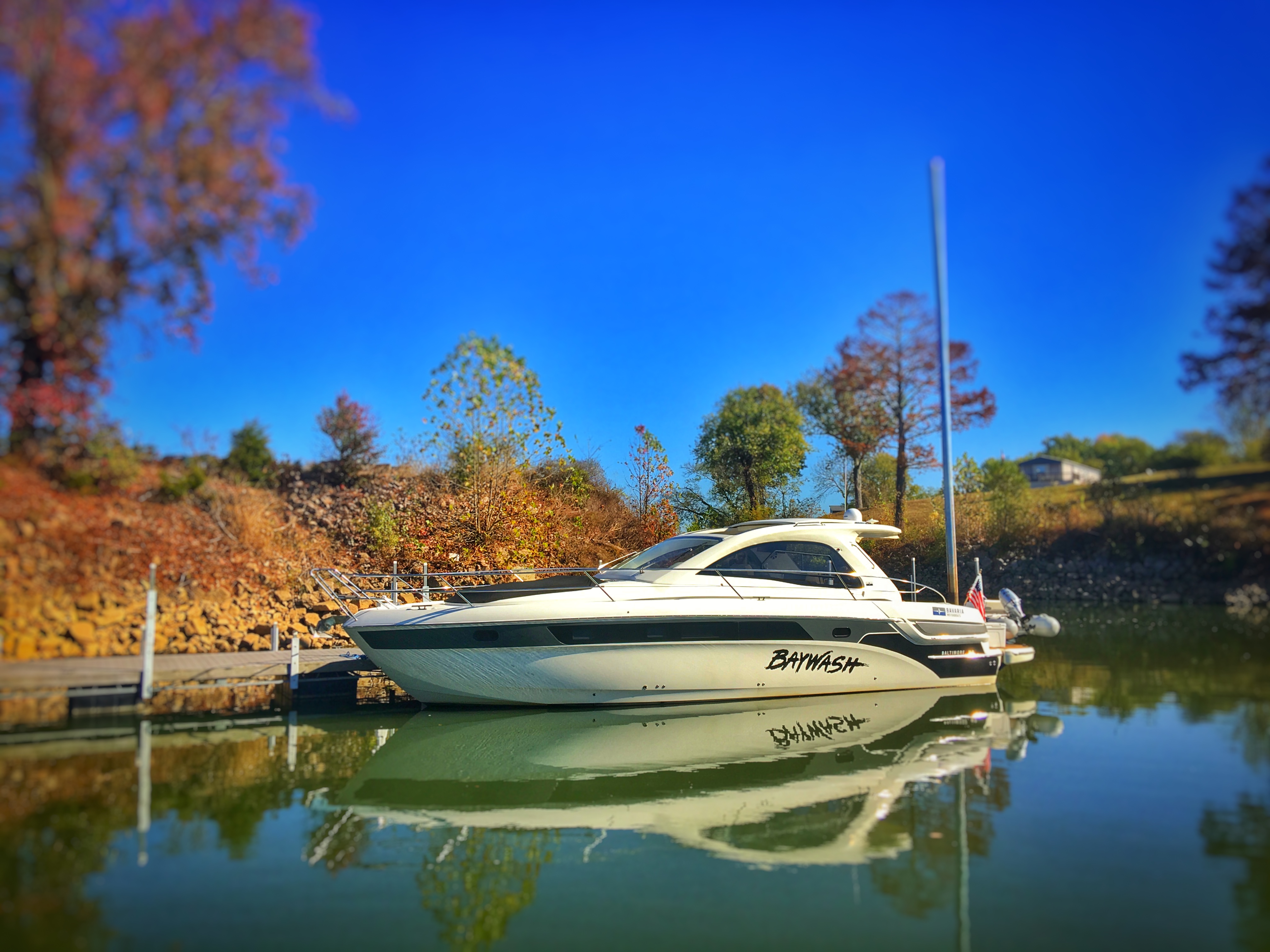
FullSizeRender 197

FullSizeRender 205

Still the queen.

Dino-maw!
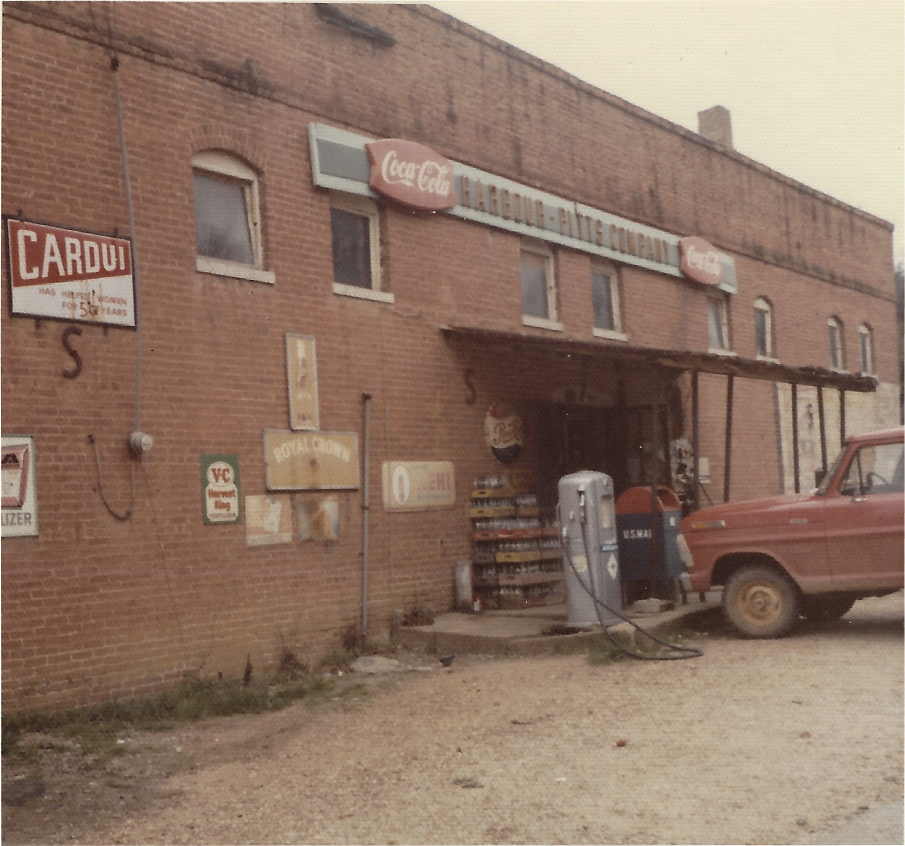
Harbour-Pitts Company General Store

The House in Scotts Hill

Arched Window

Eli "boss" banzon

USPS - Clifton, TN
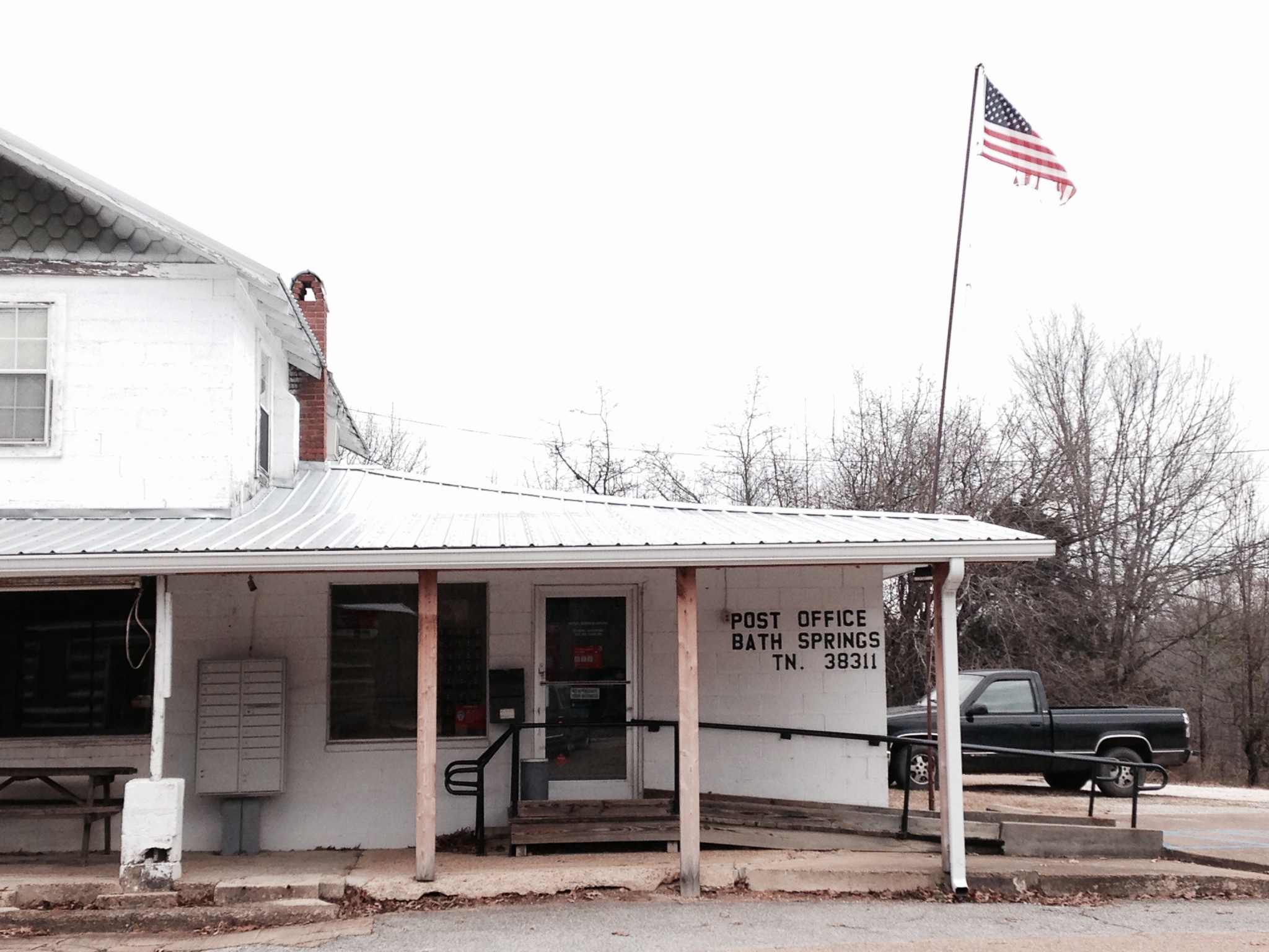
USPS - Bath Springs, TN
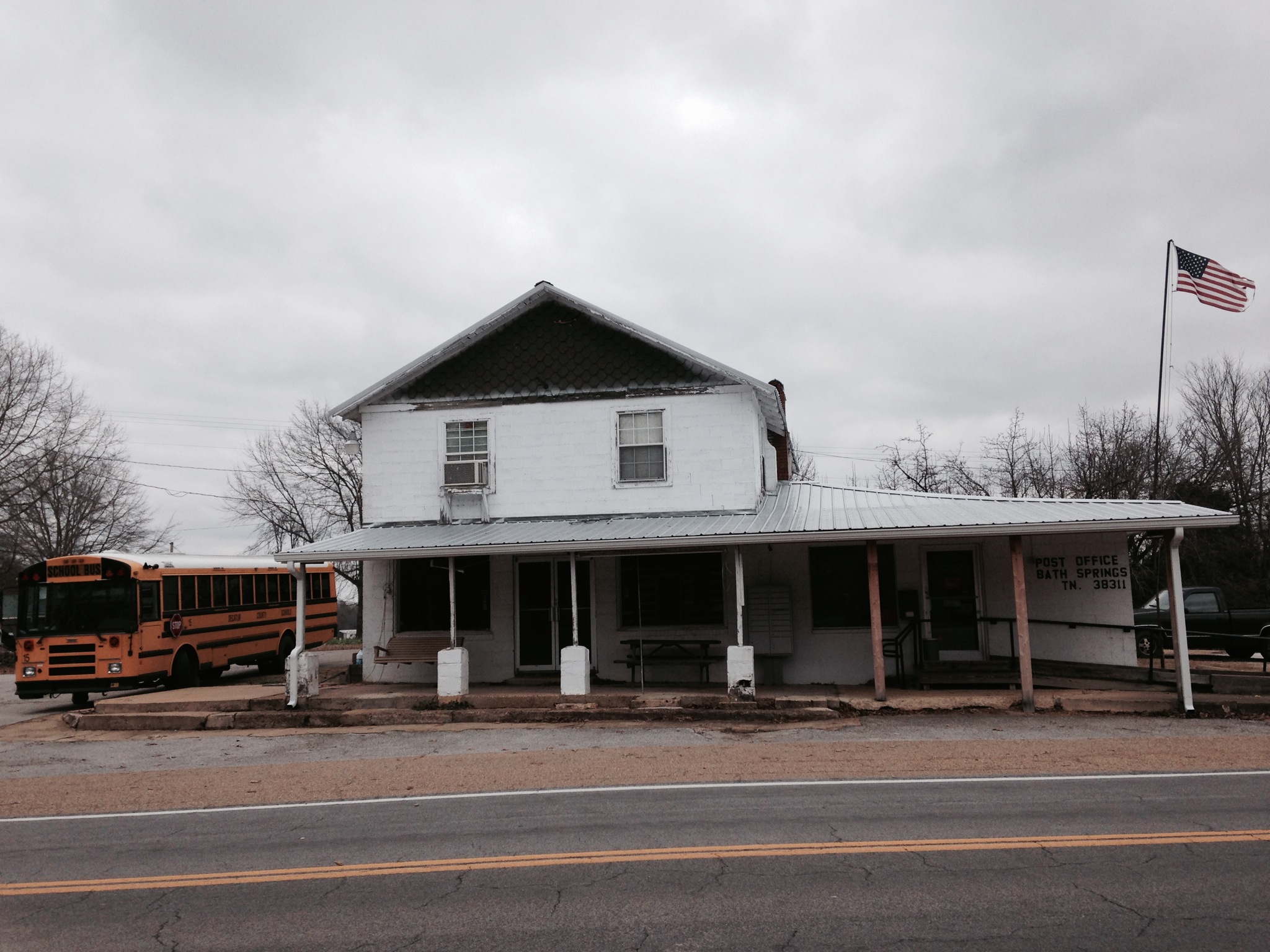
USPS - Bath Springs, TN

Tennessee River

Welcome Bath & Star!

The other brother
Topographic Map of Brooksie Thompson Rd, Bath Springs, TN, USA
Find elevation by address:

Places near Brooksie Thompson Rd, Bath Springs, TN, USA:
703 Attaway Ln
7198 Tn-69
2950 Russell Chapel Ln
Liberty Rd, Scotts Hill, TN, USA
512 Twin Church Rd
5897 Tn-69
650 Coy Johnson Rd
2035 Wilkinson Ferry Dr
Saltillo Cemetery
1775 Wilkinson Ferry Dr
Saltillo
110 Holland St
Wilkinson Ferry Drive
Saltillo Police Department
Saltillo Fire Department
395 Dorothy Ann Ln
Bath Springs
TN-, Scotts Hill, TN, USA
Saltillo Road
Dorothy Ann Ln, Saltillo, TN, USA
Recent Searches:
- Elevation of Sattva Horizon, 4JC6+G9P, Vinayak Nagar, Kattigenahalli, Bengaluru, Karnataka, India
- Elevation of Great Brook Sports, Gold Star Hwy, Groton, CT, USA
- Elevation of 10 Mountain Laurels Dr, Nashua, NH, USA
- Elevation of 16 Gilboa Ln, Nashua, NH, USA
- Elevation of Laurel Rd, Townsend, TN, USA
- Elevation of 3 Nestling Wood Dr, Long Valley, NJ, USA
- Elevation of Ilungu, Tanzania
- Elevation of Yellow Springs Road, Yellow Springs Rd, Chester Springs, PA, USA
- Elevation of Rēzekne Municipality, Latvia
- Elevation of Plikpūrmaļi, Vērēmi Parish, Rēzekne Municipality, LV-, Latvia