Elevation of Brookings County, SD, USA
Location: United States > South Dakota >
Longitude: -96.835099
Latitude: 44.4211592
Elevation: 500m / 1640feet
Barometric Pressure: 95KPa
Elevation Map:
Satellite Map:
Related Photos:
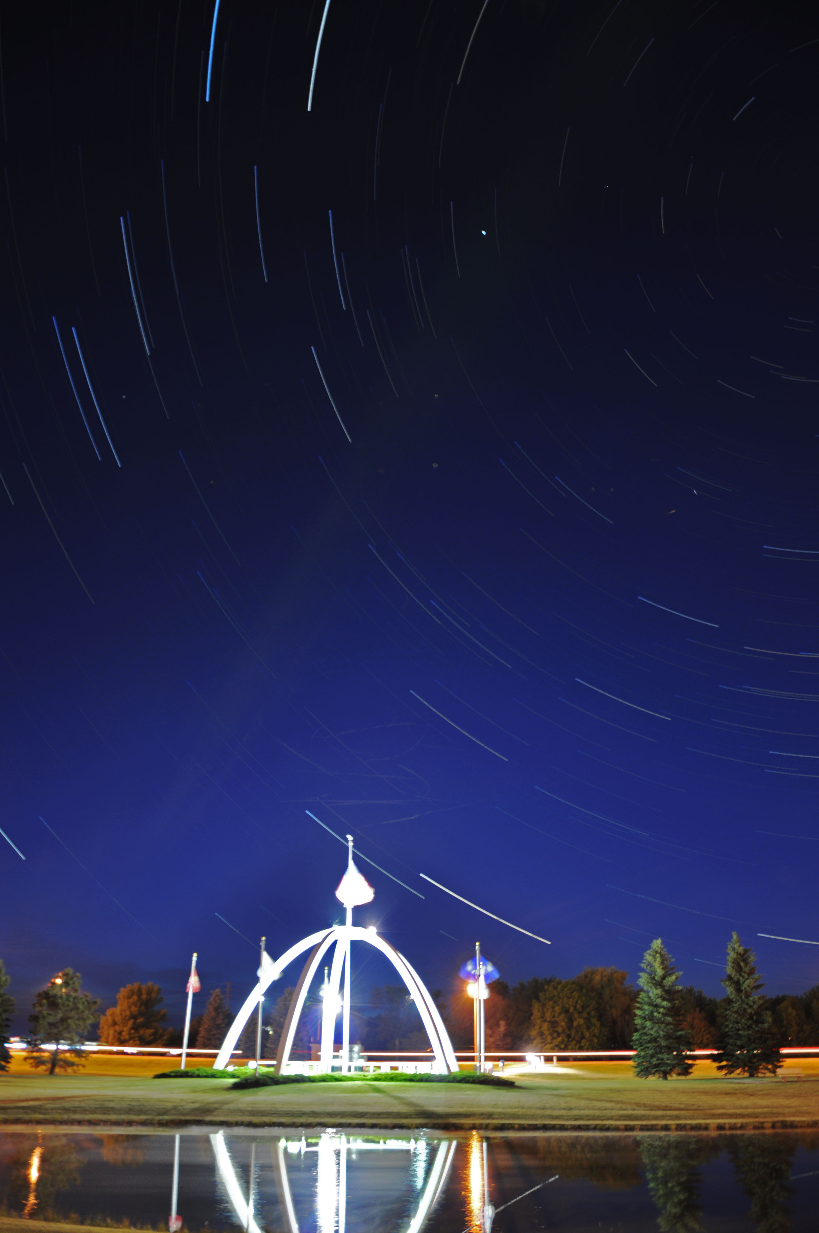
Brookings Memorial
Come Fly With Me
Brookings Co., SD
McCrory Gardens
Stranger Danger
McCrory Gardens, Brookings
McCrory Gardens, Brookings
Brookings Co., SD
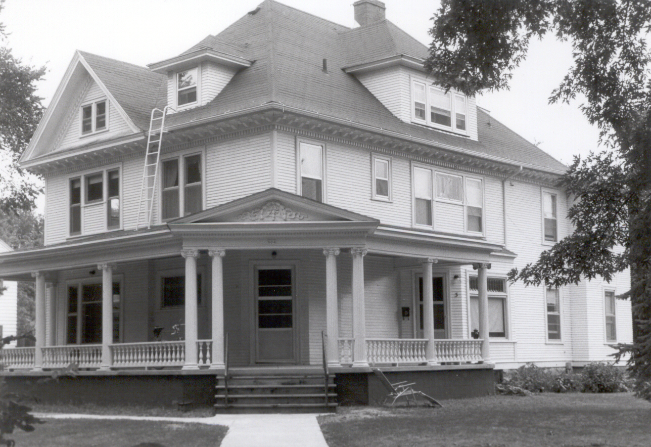
W.A. Caldwell House, Brookings, SD

Football Night!
Warm sunny day. Green grass carpet.
the outpost
Border to Border 2013: Blue skies in MB
StormChasing 066
Topographic Map of Brookings County, SD, USA
Find elevation by address:

Places in Brookings County, SD, USA:
Places near Brookings County, SD, USA:
Bruce
47019 198th St
Eureka Township
South Dakota State University
Brookings
Main Ave, Brookings, SD, USA
975 6th St
Brookings, SD, USA
Choco Latte Coffee And Handmade Candy
503 Elm Ave
Candlewood Lane
1016 Oakwood Cir
Daktronics Drive
Estelline
Medary Township
White
21652 472nd Ave
47153 217th St
21737 472nd Ave
21778 471st Ave
Recent Searches:
- Elevation of Corso Fratelli Cairoli, 35, Macerata MC, Italy
- Elevation of Tallevast Rd, Sarasota, FL, USA
- Elevation of 4th St E, Sonoma, CA, USA
- Elevation of Black Hollow Rd, Pennsdale, PA, USA
- Elevation of Oakland Ave, Williamsport, PA, USA
- Elevation of Pedrógão Grande, Portugal
- Elevation of Klee Dr, Martinsburg, WV, USA
- Elevation of Via Roma, Pieranica CR, Italy
- Elevation of Tavkvetili Mountain, Georgia
- Elevation of Hartfords Bluff Cir, Mt Pleasant, SC, USA