Elevation of Brock, ON, Canada
Location: Canada > Ontario > Durham Regional Municipality >
Longitude: -79.064505
Latitude: 44.2881957
Elevation: 278m / 912feet
Barometric Pressure: 98KPa
Elevation Map:
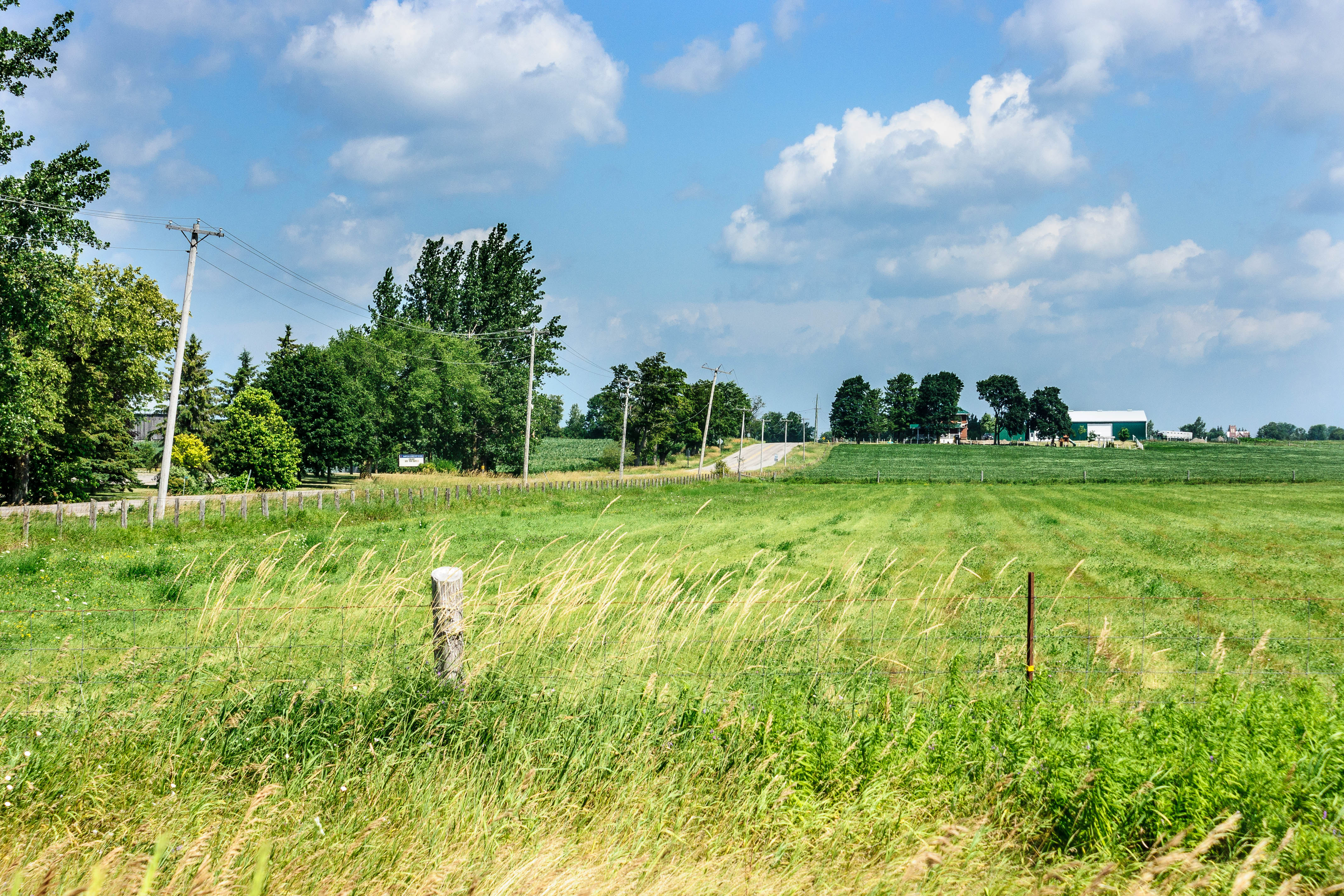
Satellite Map:
Related Photos:

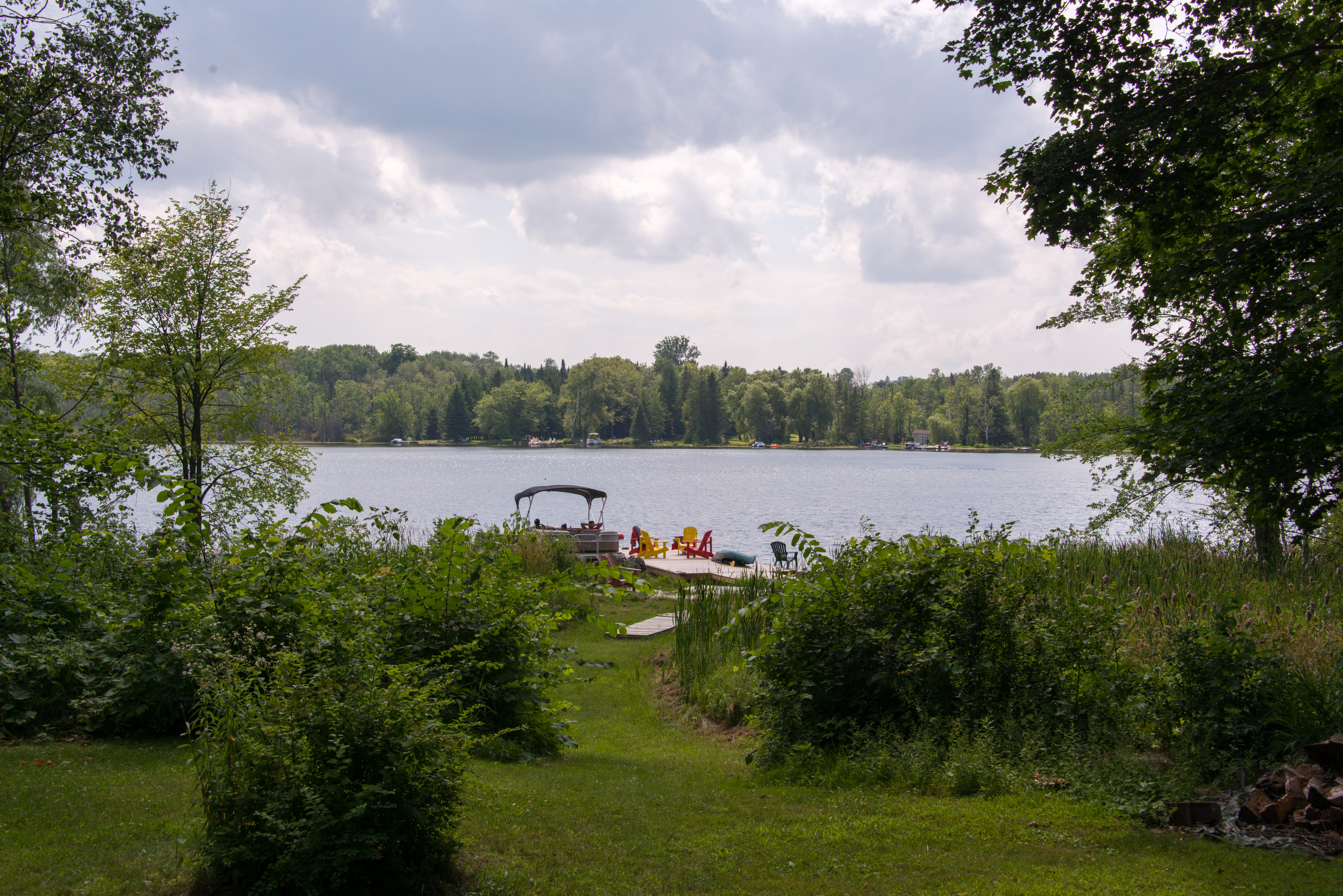
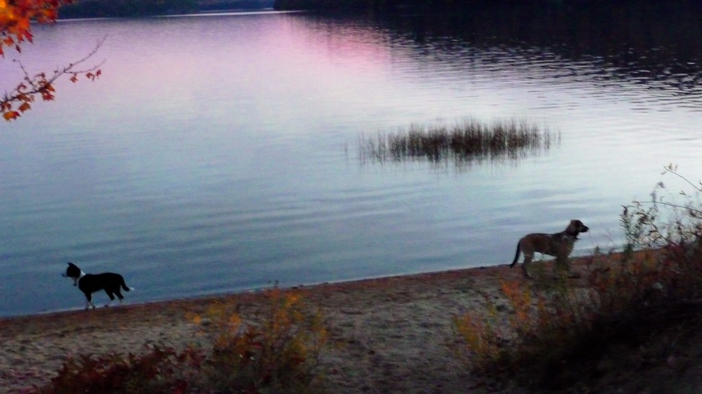
130720-3700 Wagner Lake
130718-3649 Wagner Lake
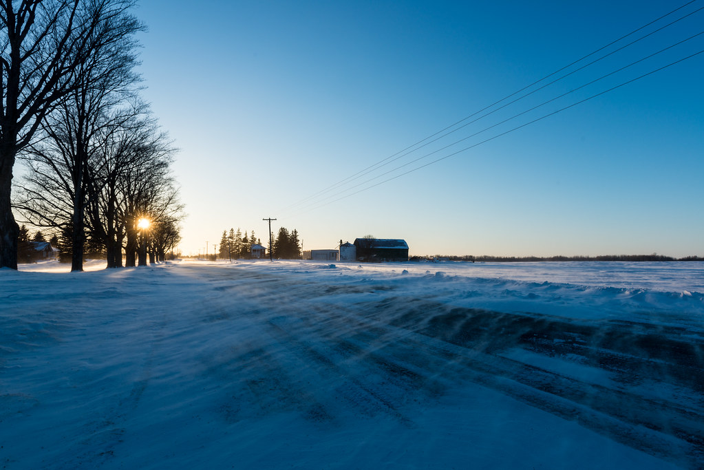
Spindrift Sideroad
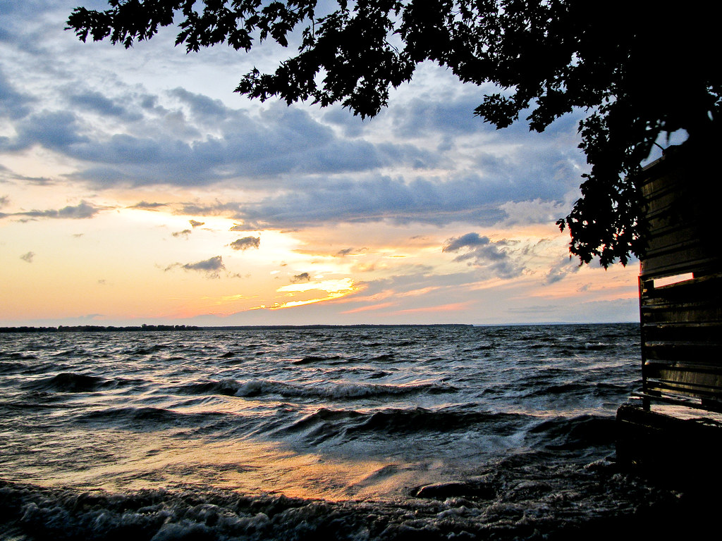
Sunset over Lake Simcoe

Drive to Bancroft_0208
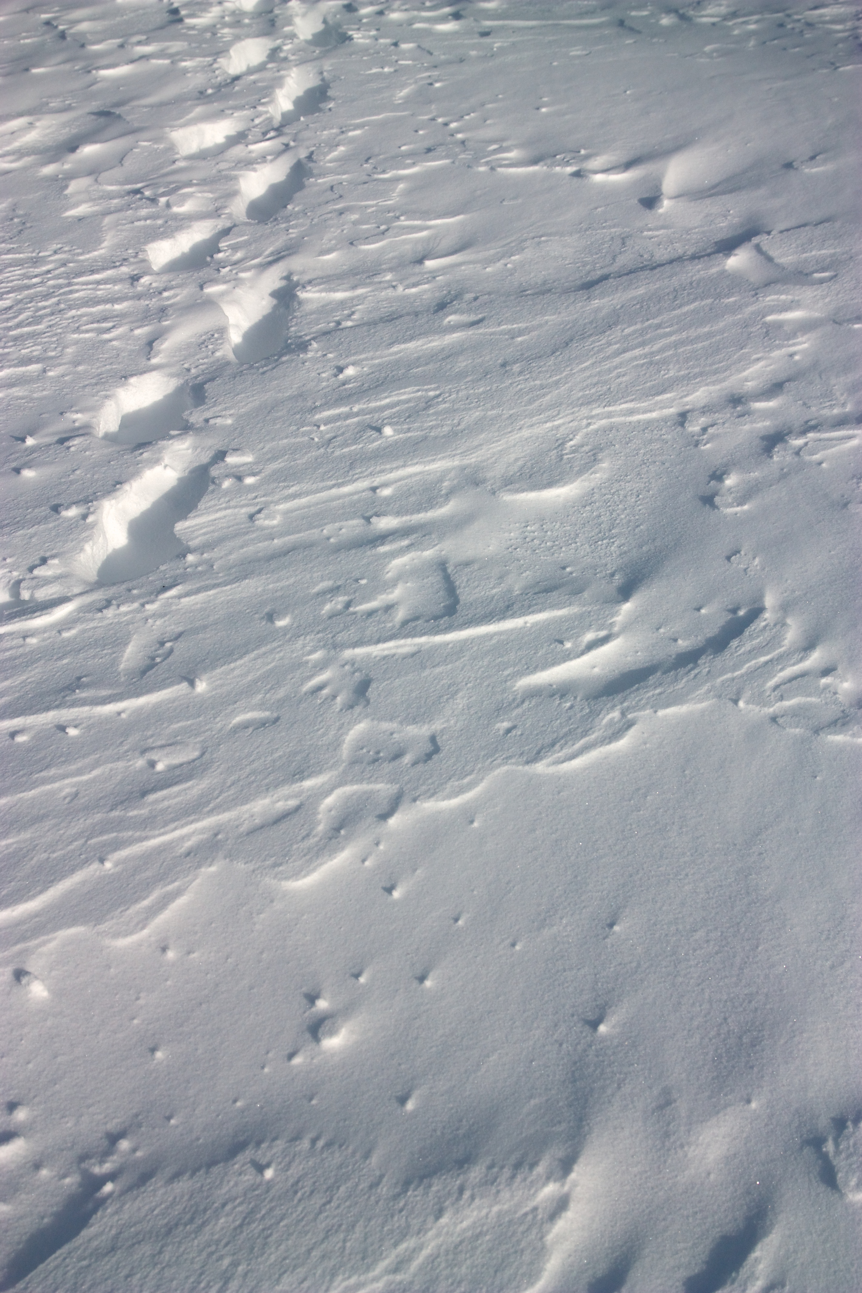
Patterns in the snow
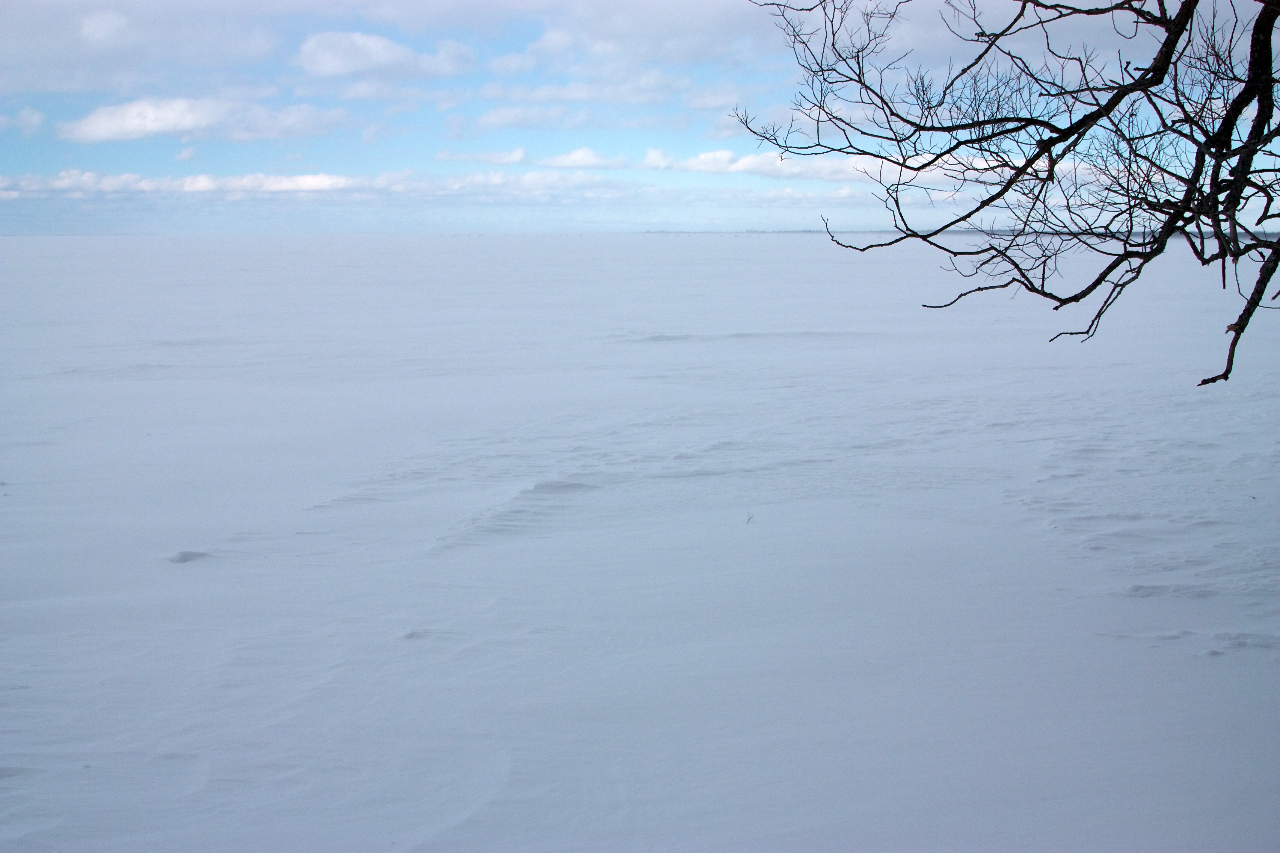
Lake Simcoe in winter
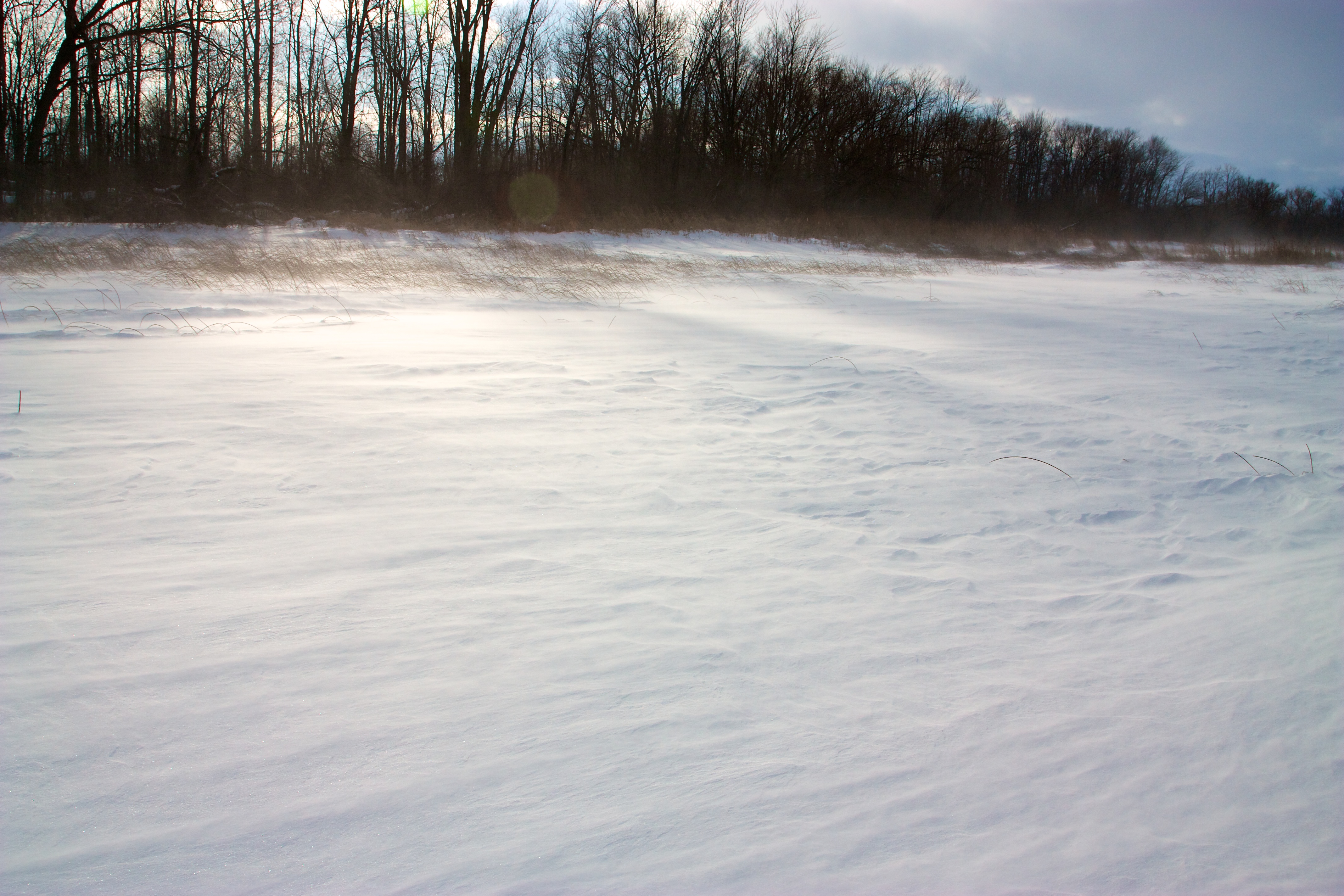
Snow & wind on the lake Simcoe

Autumn Color in Whitley, Canada

On the road home! Thanks @cbcpointsnorth for the road updates!
Algonquin Provincial Park, Canada

It's still just spring but the colours are very rich. Looking forward to exploring this trail further.
Swamp day 3

IMG_3319.jpg

IMG_3369.jpg
Walking around this morning was cold but peaceful.
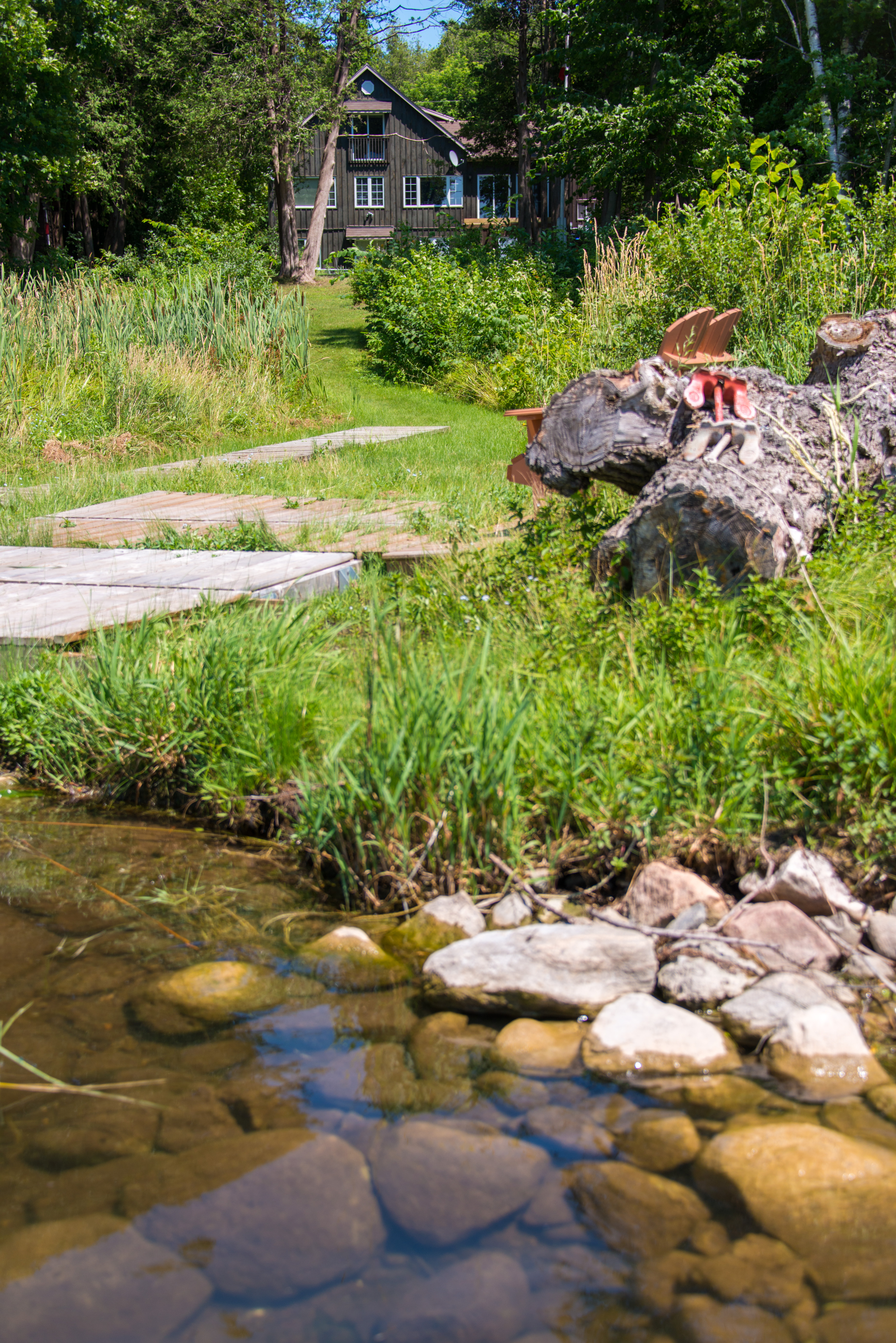
130720-3690 Wagner Lake

Heading east on closed Brewster Road
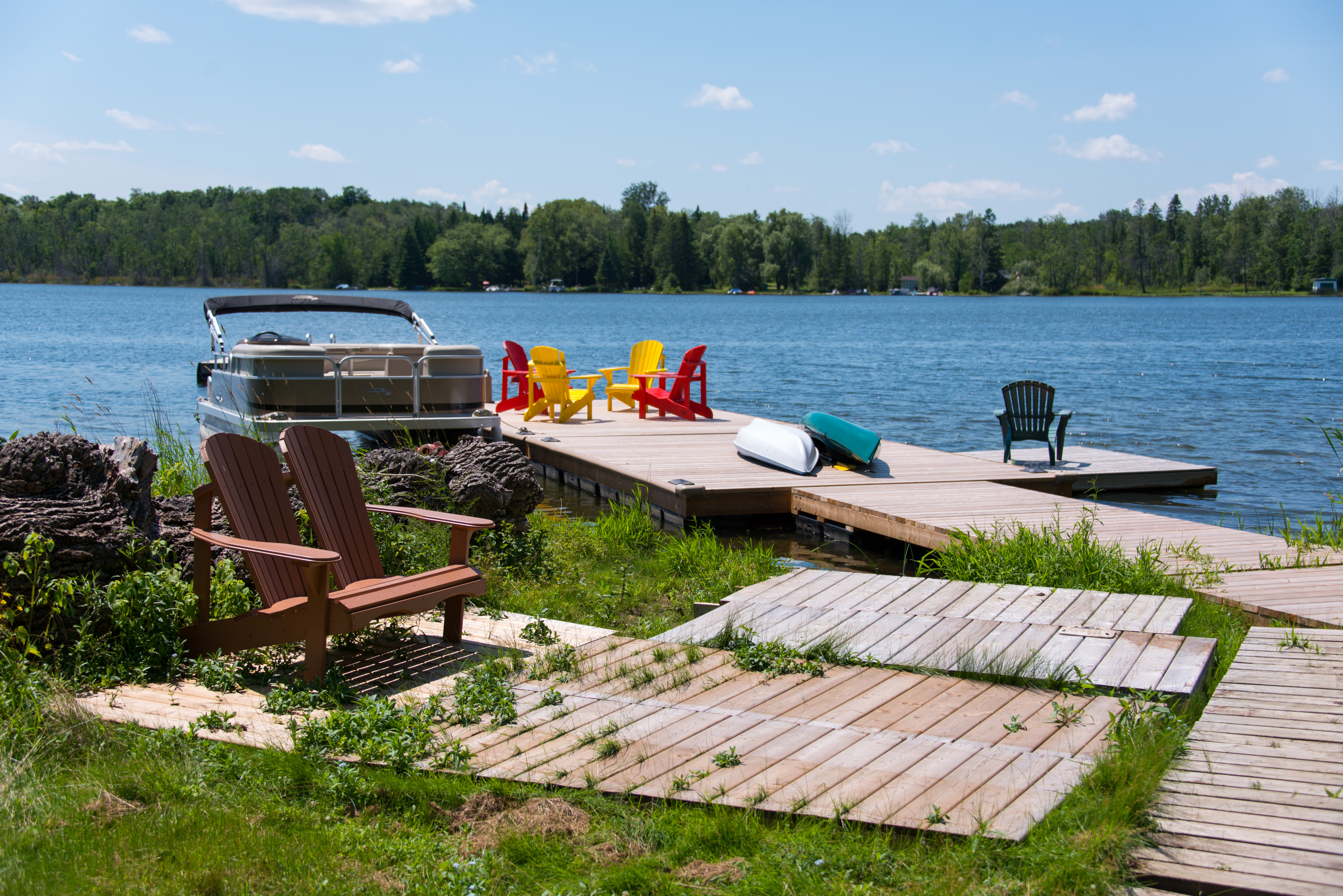
130720-3670 Wagner Lake
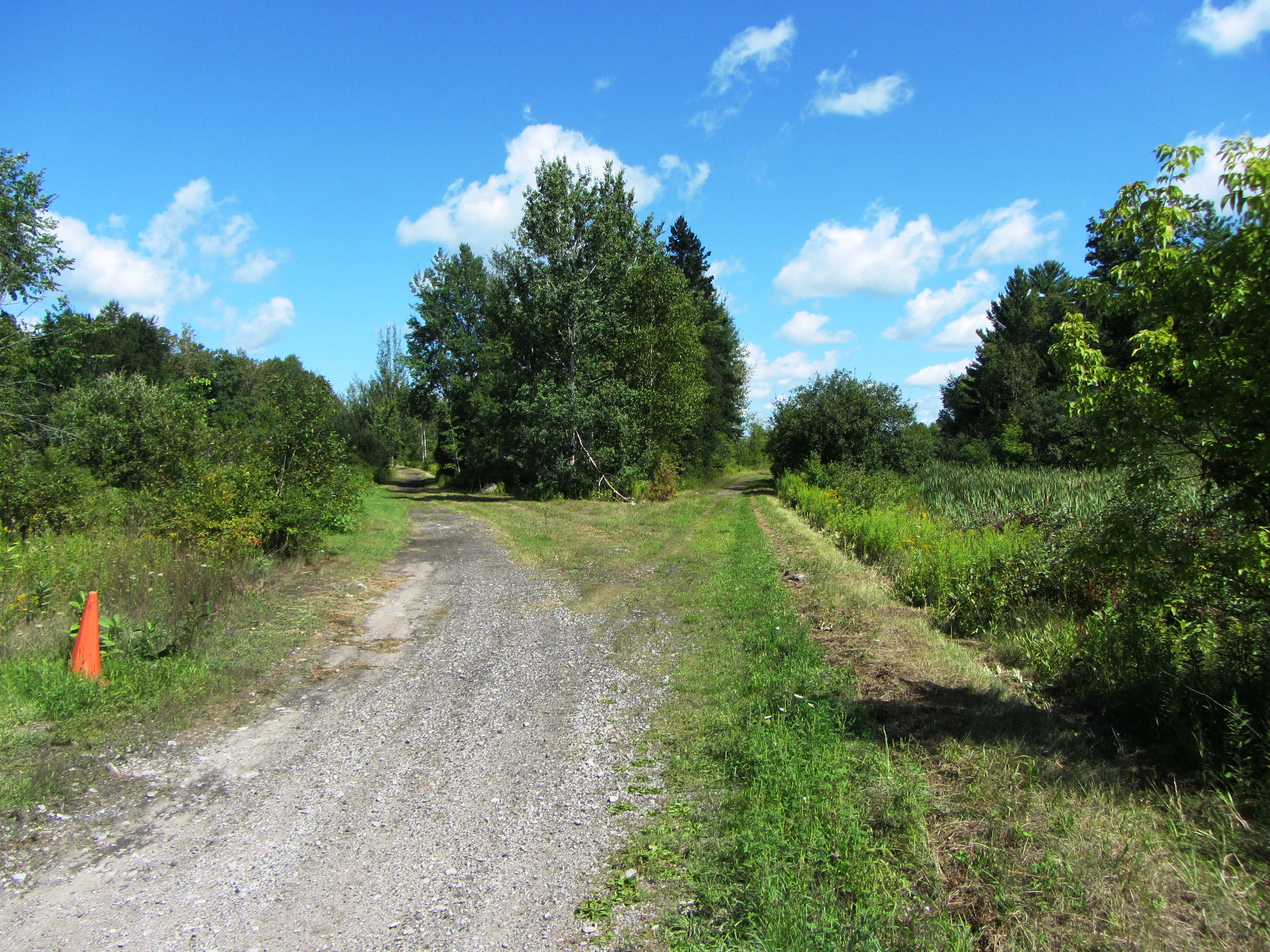
Blackwater Junction
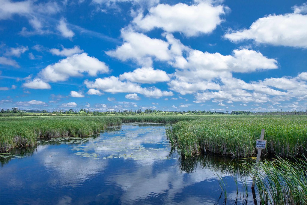
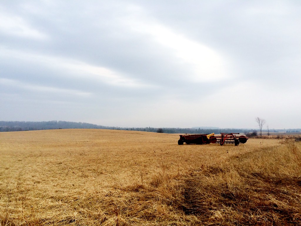
Farmland in Kawartha

IMG_3296.jpg
Topographic Map of Brock, ON, Canada
Find elevation by address:

Places in Brock, ON, Canada:
Beaverton
3 Cameron St E, Cannington, ON L0E 1E0, Canada
Cannington
Sunderland
Brock
Durham Regional Road 50
Places near Brock, ON, Canada:
16 Doble St
Sunderland
Concession Road 2
Sonya
10 Hallett Crescent
Seagrave
Greenbank
1237 Cragg Rd
Scugog
3160 Hood Dr
Stephenson Point Rd, Port Perry, ON L9L 1B4, Canada
Eldon Rd, Little Britain, ON K0M 2C0, Canada
293 Stephenson Point Rd
Scugog
Port Hoover Rd, Little Britain, ON K0M 2C0, Canada
142 Spring Blvd
23 Davidge Dr
Lake Scugog
4 Shelley Dr
131 Oakdene Crescent
Recent Searches:
- Elevation of Kreuzburger Weg 13, Düsseldorf, Germany
- Elevation of Gateway Blvd SE, Canton, OH, USA
- Elevation of East W.T. Harris Boulevard, E W.T. Harris Blvd, Charlotte, NC, USA
- Elevation of West Sugar Creek, Charlotte, NC, USA
- Elevation of Wayland, NY, USA
- Elevation of Steadfast Ct, Daphne, AL, USA
- Elevation of Lagasgasan, X+CQH, Tiaong, Quezon, Philippines
- Elevation of Rojo Ct, Atascadero, CA, USA
- Elevation of Flagstaff Drive, Flagstaff Dr, North Carolina, USA
- Elevation of Avery Ln, Lakeland, FL, USA