Elevation of Brittania Dr, Williamsburg, VA, USA
Location: United States > Virginia > Williamsburg >
Longitude: -76.664731
Latitude: 37.2675018
Elevation: 26m / 85feet
Barometric Pressure: 101KPa
Elevation Map:
Satellite Map:
Related Photos:

Stormy Rail
IMG_4333 8X10 11-27-15 (Custom)

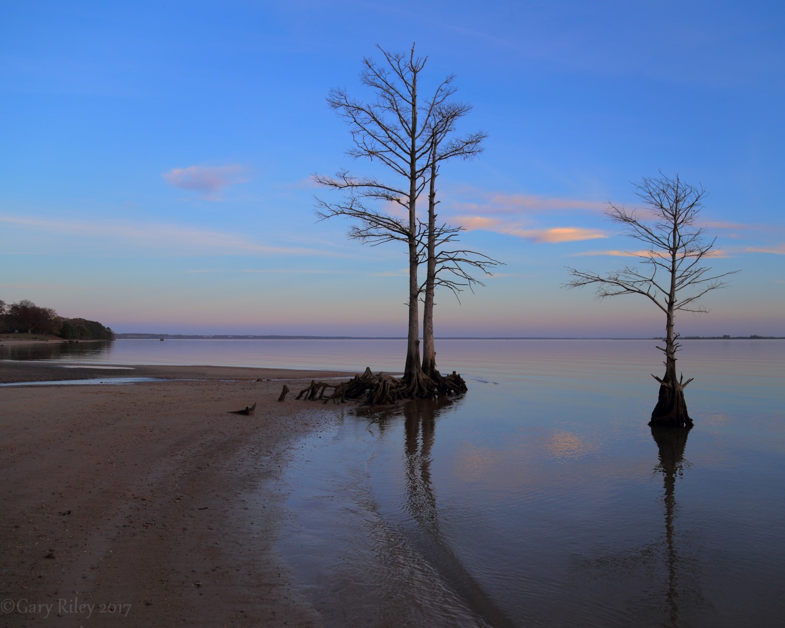
Cypress Shore
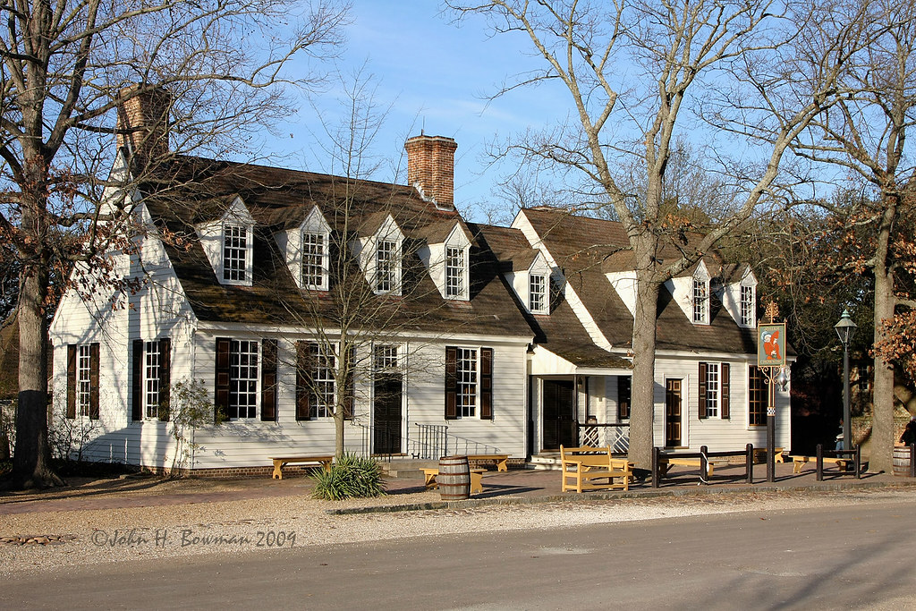
Chowning's Tavern 2
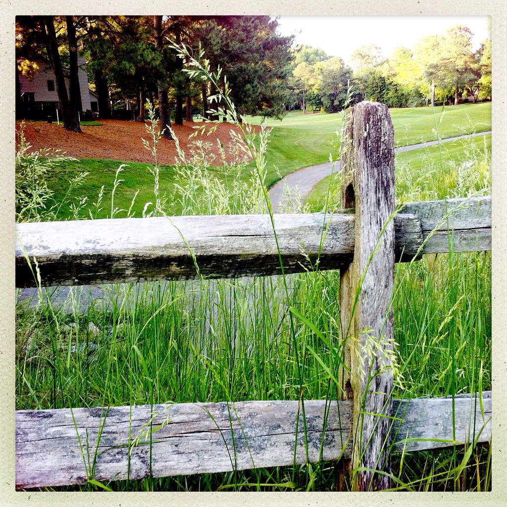
Another View of the Golf Course
In the trees

“There are only two lasting bequests we can hope to give our children. One of these is roots; the other, wings.” ― W. Hodding Carter II (Explored)
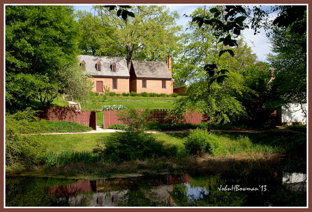
Palace Outbuildings
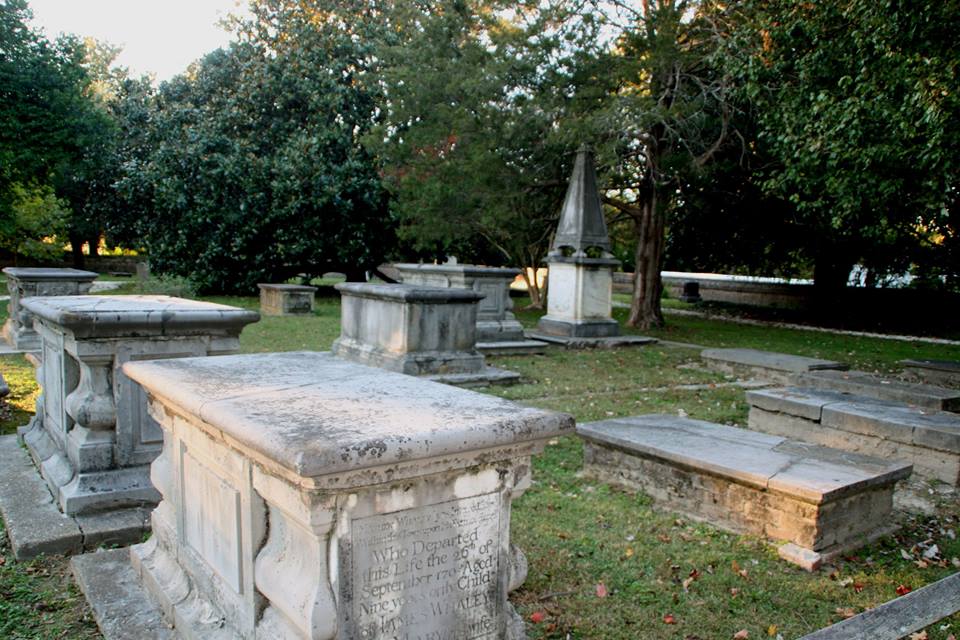
General view, Bruton Parish cemetery, Colonial Williamsburg, Virginia
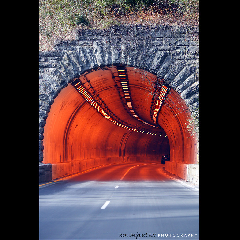
@45 mph into a tunnel... colonial parkway virginia

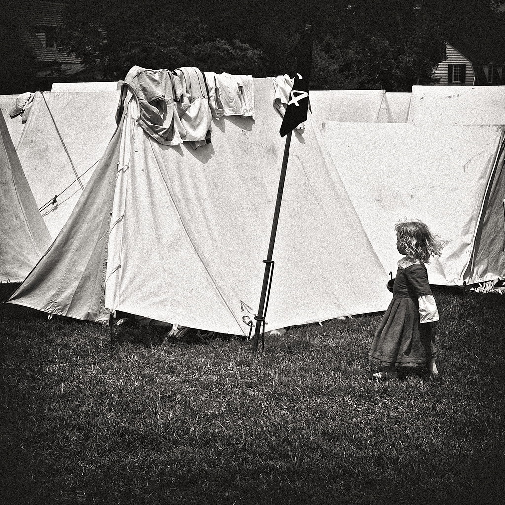
Historic puzzle

Ms. Kitty
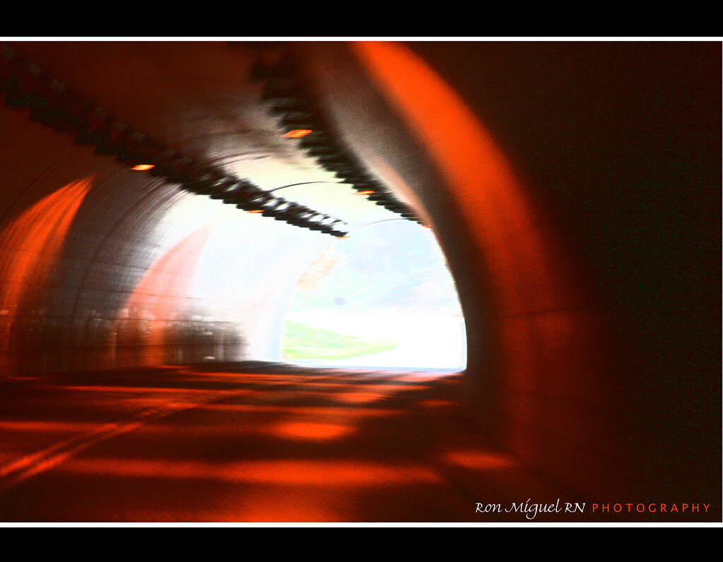
there's a light at the end of this tunnel... for you!
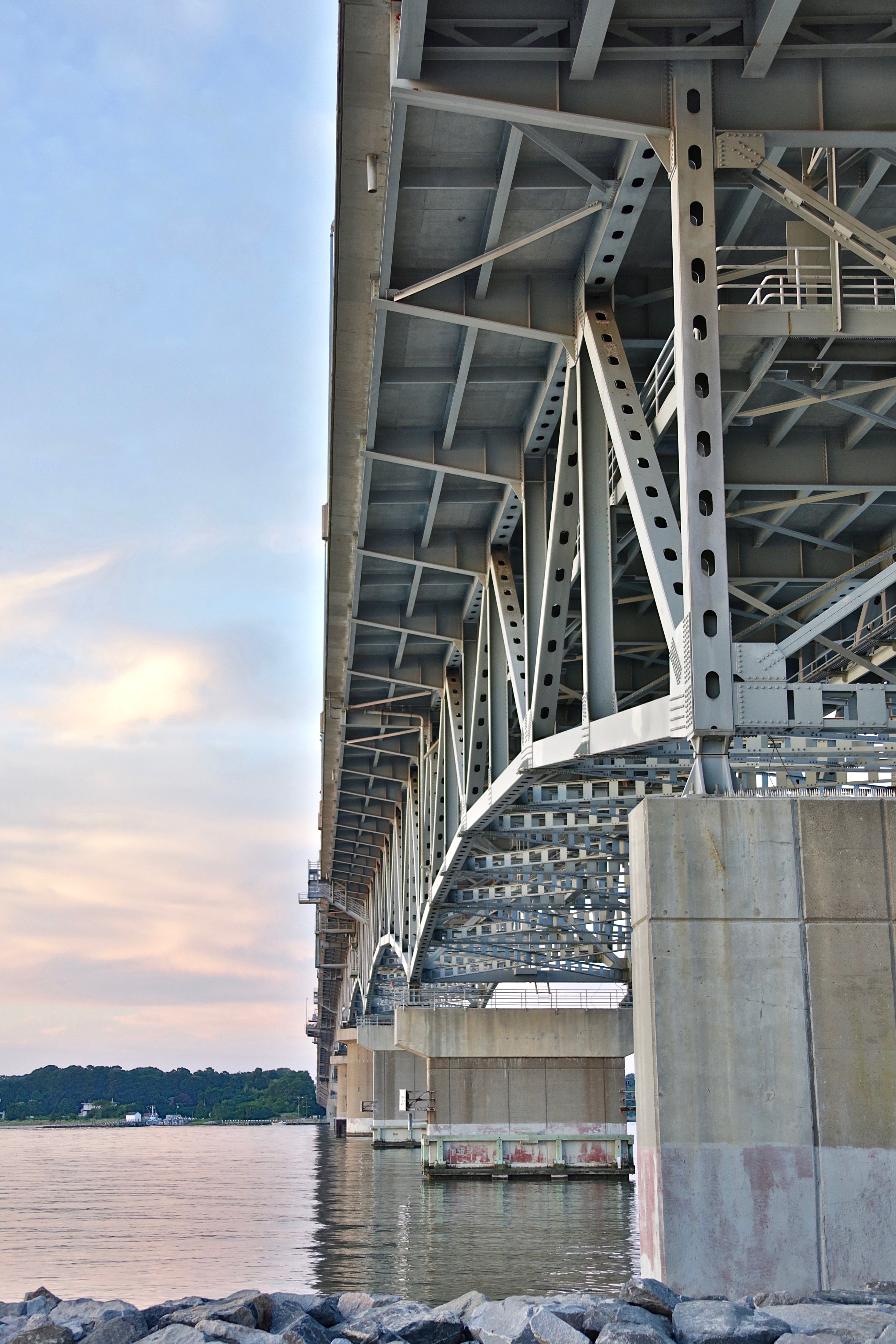
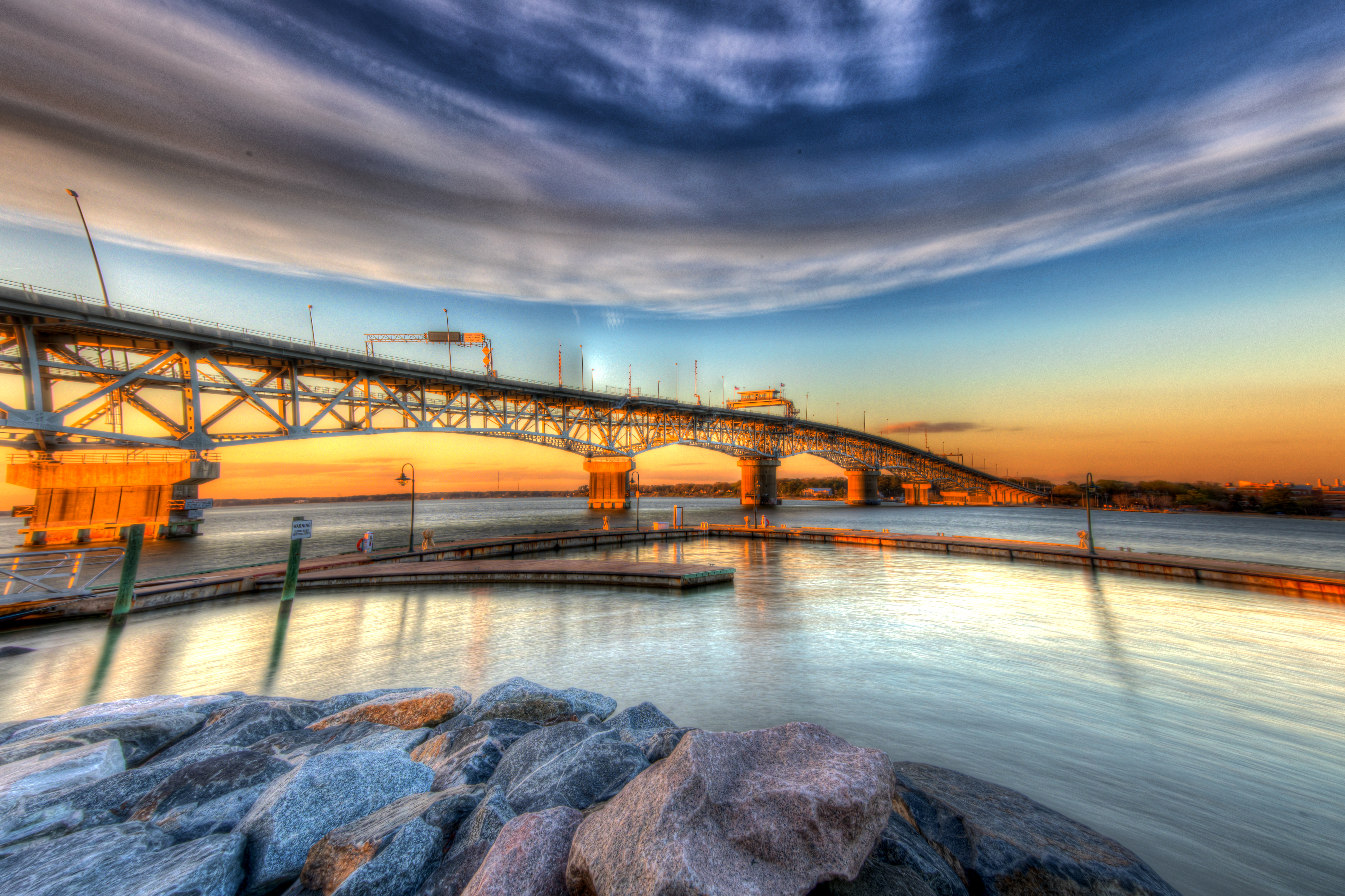
The Coleman Bridge viewed from a different angle
Looking For Dad
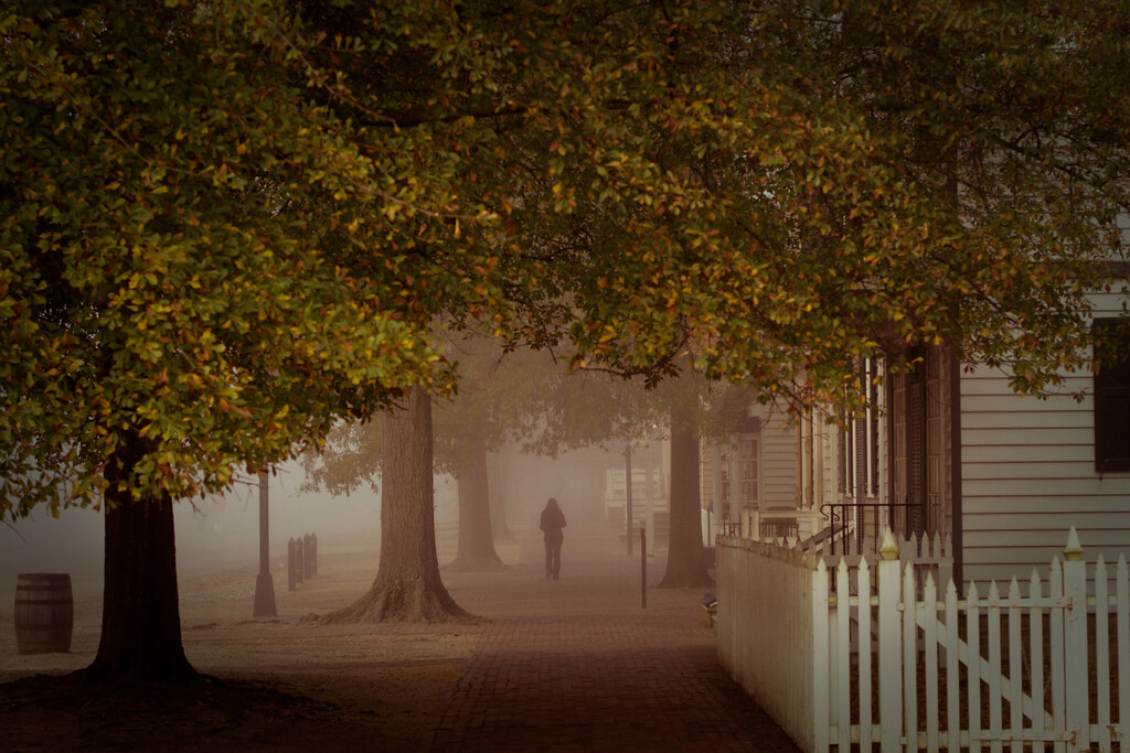
Another Foggy Morning - YIP - Nov. 9, 2009
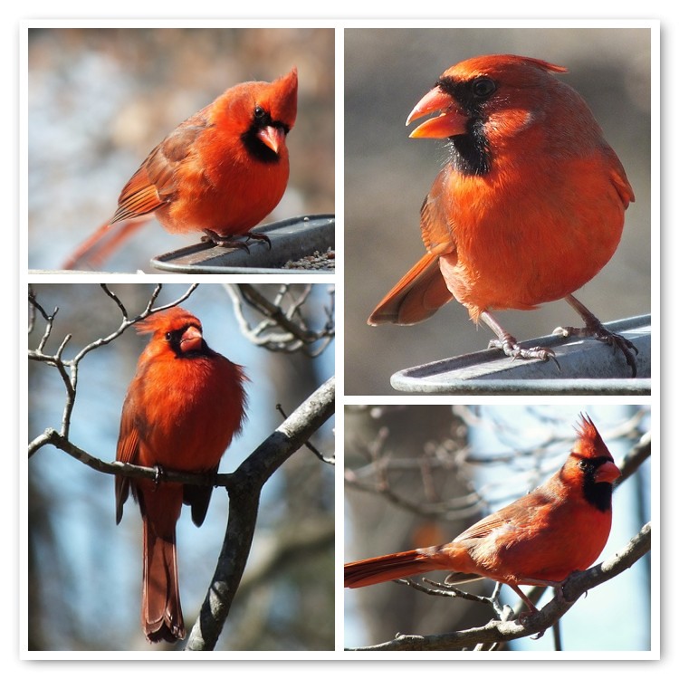
Male Northern Cardinal Portraits

. . . and the sun sets on 2009
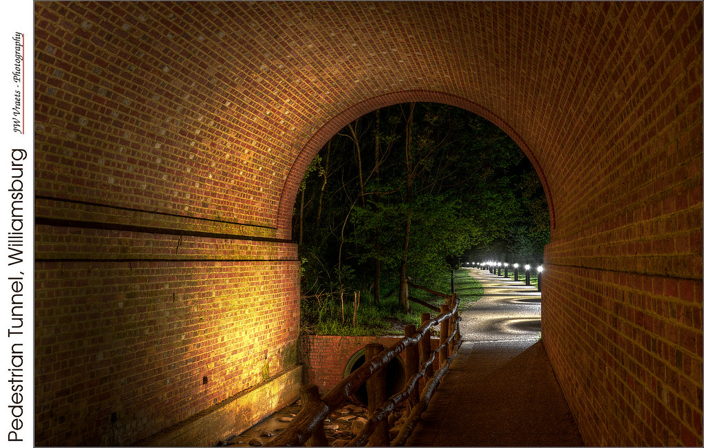
Pedestrian Tunnel, Williamsburg – (HDR – Blended)
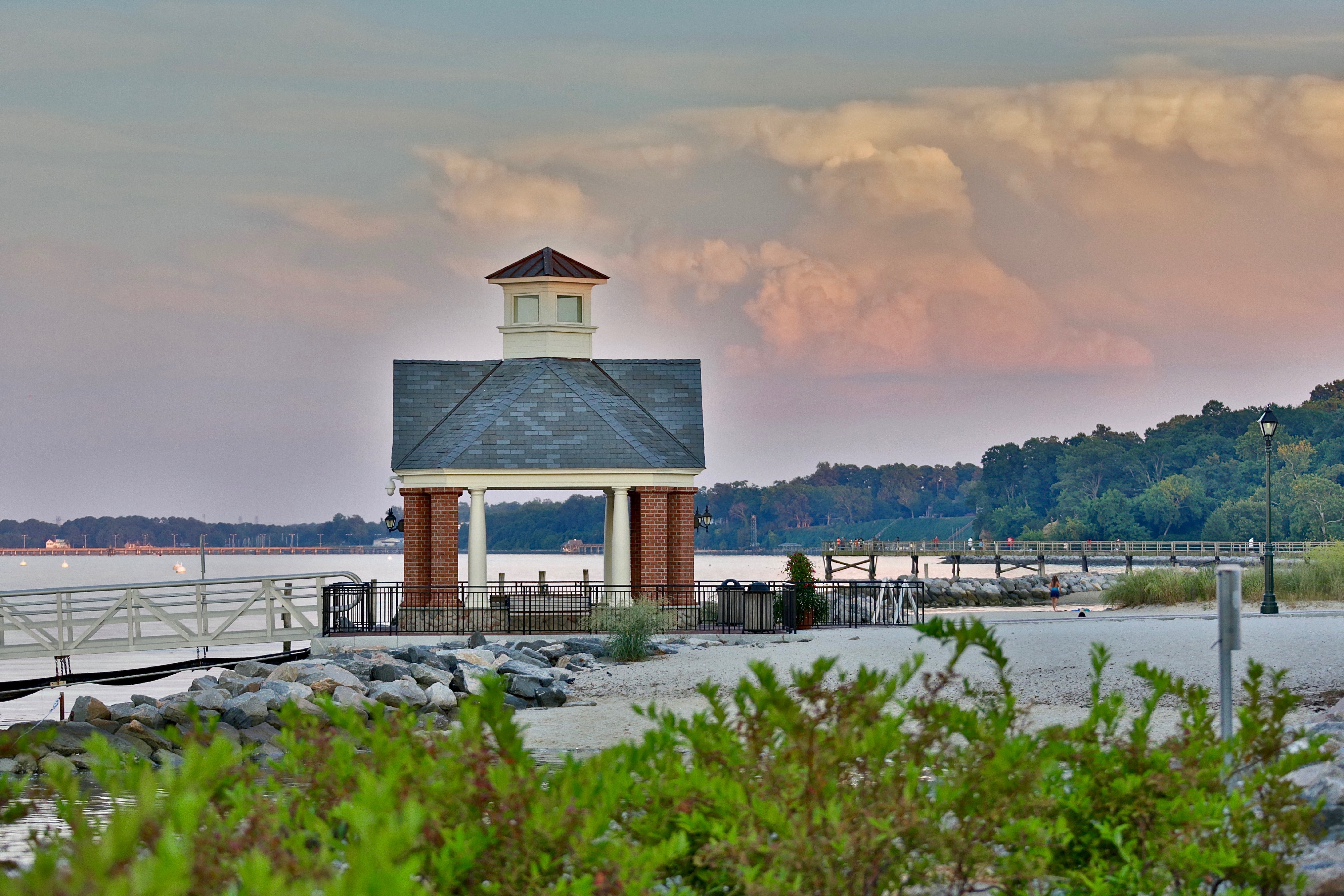
Point of view from the Yorktown harbor
Morning view

31 | 2010

Winter Tree
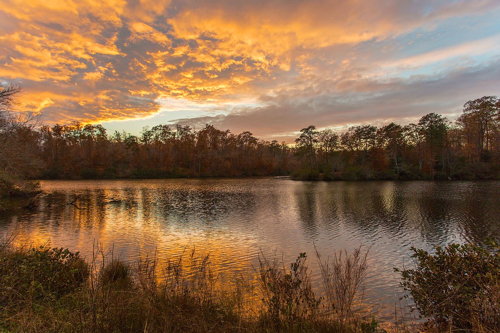
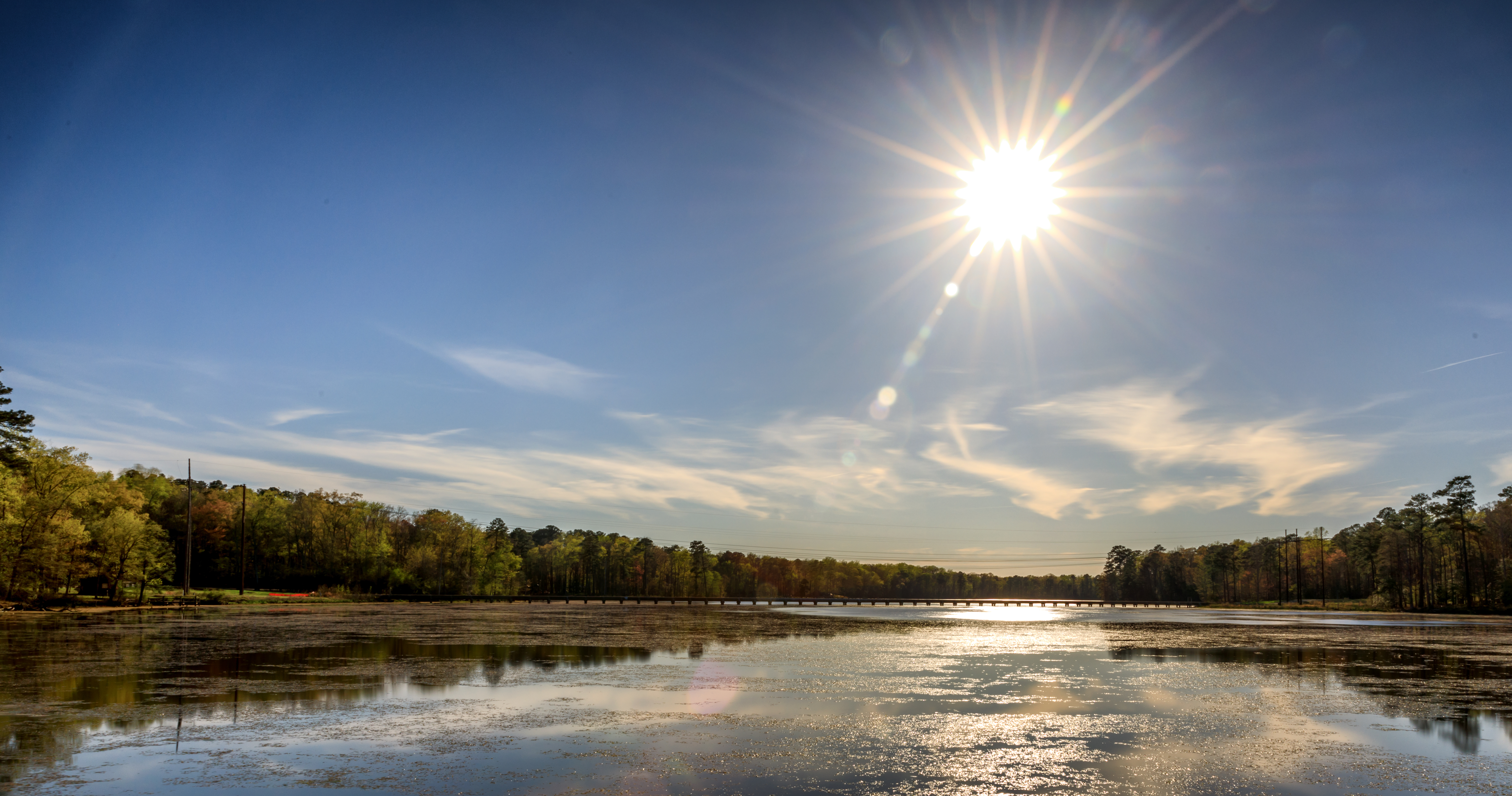
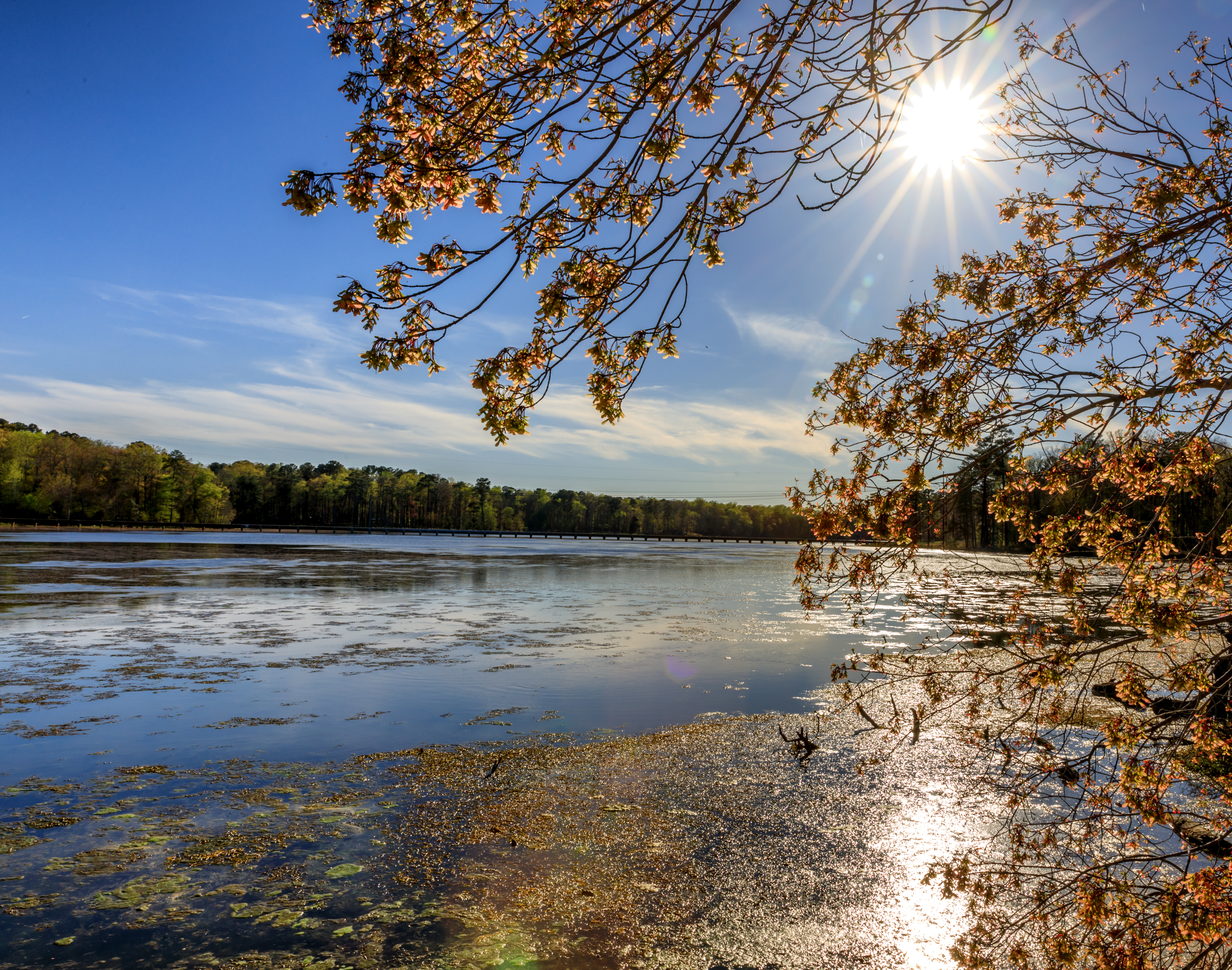
Lake Matoaka (Explore)

Maze / Colonial Williamsburg
Kingsmill marina on the James River

Under the Bridge
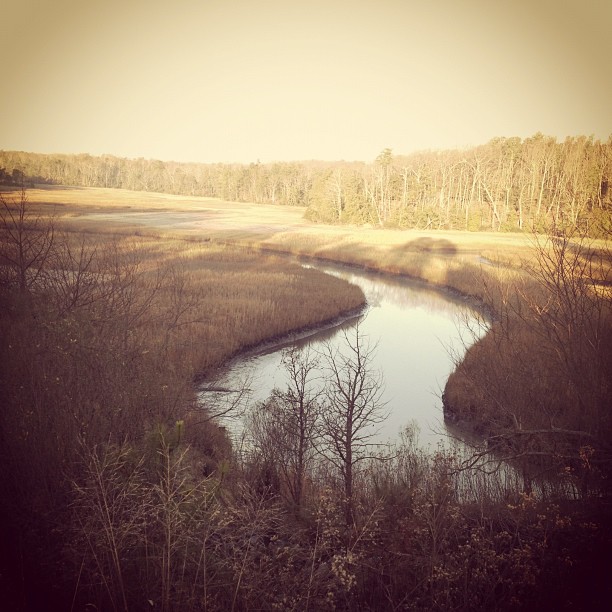
Colonial Parkway, Sandy Bay, Jamestown, VA
Twilight on a Friday night

Yorktown HRDPC Photowalk April 4 2017-17
The Tree of Liberty

Landing -- Double-crested Cormorants
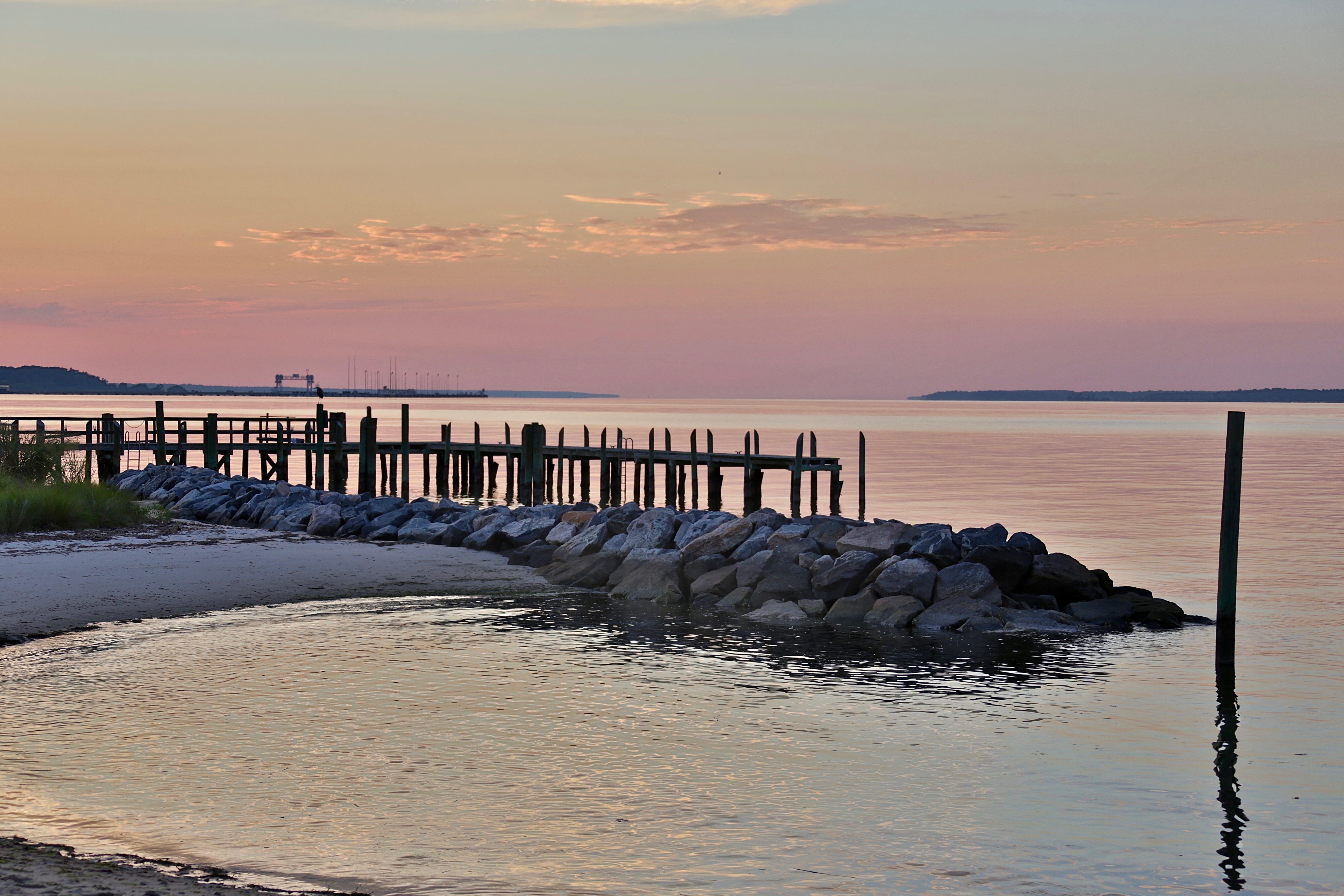
Sunset on the York River

Cobham Bay Sunset

Revolutionary city, Williamsburg, VA
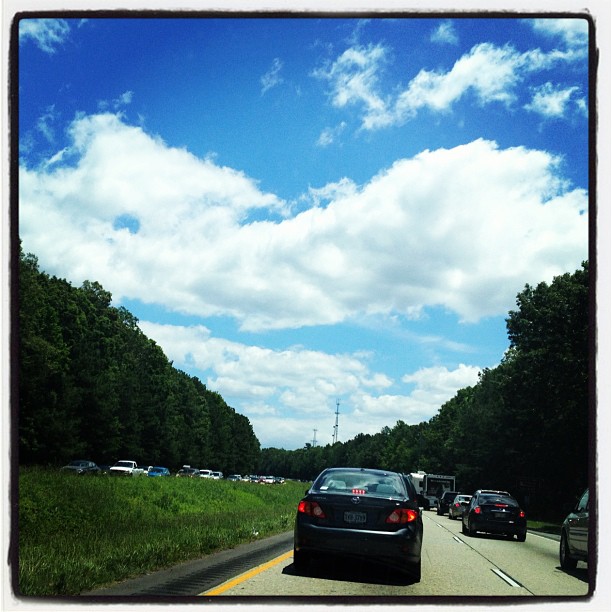
Been sitting in 4 hours of traffic... Not even at the beach yet...

The Parkway.
Newport News Park Bicycle Ride April 9 2017-22
Newport News Park Bicycle Ride April 9 2017-20
Yorktown HRDPC Photowalk April 4 2017-3

xcviii - the dreamy tree
Topographic Map of Brittania Dr, Williamsburg, VA, USA
Find elevation by address:

Places near Brittania Dr, Williamsburg, VA, USA:
206 Chardonnay Rd
223 Hubbard Ln
107 Granite Pl
105 Granite Pl
420 Musket Dr
455 Merrimac Trail
118 Bowstring Dr
122 Little John Rd
303 Spinnaker Way
290 E Queens Dr
307 Powhatan Ave
107 N Will Scarlet Ln
114 Holcomb Dr
401 Shaindel Dr
110 Horseshoe Dr
119 Horseshoe Dr
111 Washington St
109 E Duke Of Gloucester St
110 Francis St E
110 N Henry St
Recent Searches:
- Elevation of Holloway Ave, San Francisco, CA, USA
- Elevation of Norfolk, NY, USA
- Elevation of - San Marcos Pass Rd, Santa Barbara, CA, USA
- Elevation of th Pl SE, Issaquah, WA, USA
- Elevation of 82- D Rd, Captain Cook, HI, USA
- Elevation of Harlow CM20 2PR, UK
- Elevation of Shenyang Agricultural University, Dong Ling Lu, Shen He Qu, Shen Yang Shi, Liao Ning Sheng, China
- Elevation of Alpha Dr, Melbourne, FL, USA
- Elevation of Hiroshima University, 1-chōme-3-2 Kagamiyama, Higashihiroshima, Hiroshima -, Japan
- Elevation of Bernina Dr, Lake Arrowhead, CA, USA