Elevation of Bridgeport Dr, Mariposa, CA, USA
Location: United States > California > Mariposa County > Mariposa >
Longitude: -119.99108
Latitude: 37.4355199
Elevation: 468m / 1535feet
Barometric Pressure: 96KPa
Elevation Map:
Satellite Map:
Related Photos:
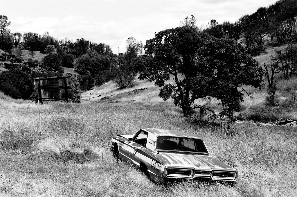
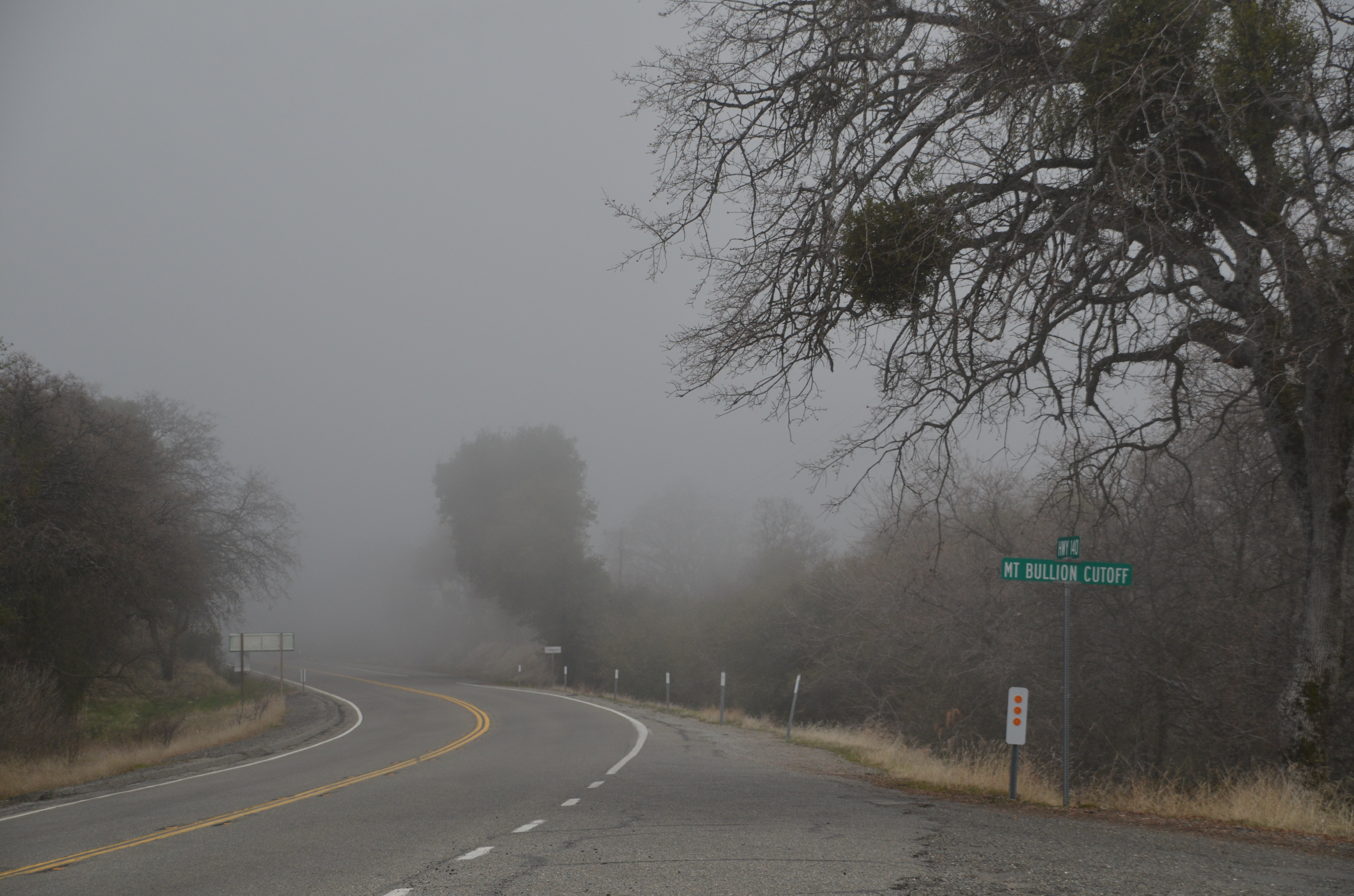
Sortie de Route / Catheys Valley - Californie
Self Portrait
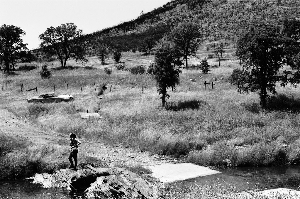
Sortie de Route / Catheys Valley - Californie
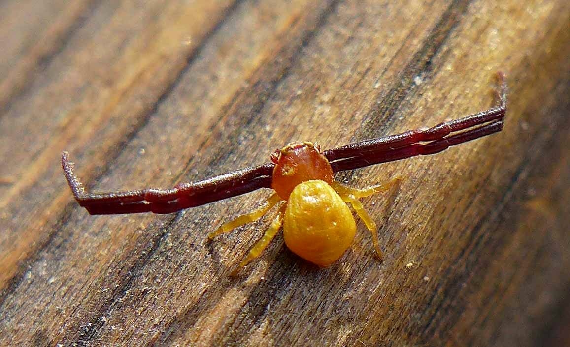
White-banded Crab Spider male
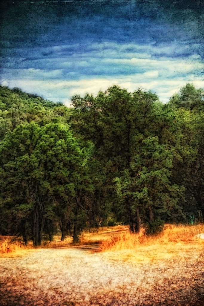
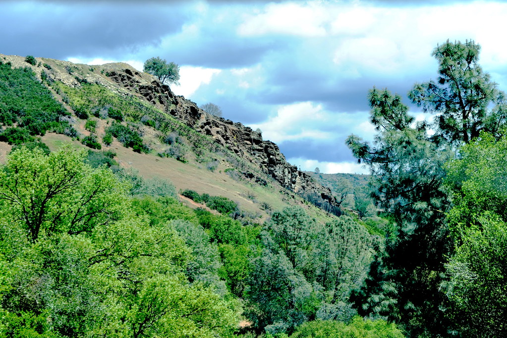
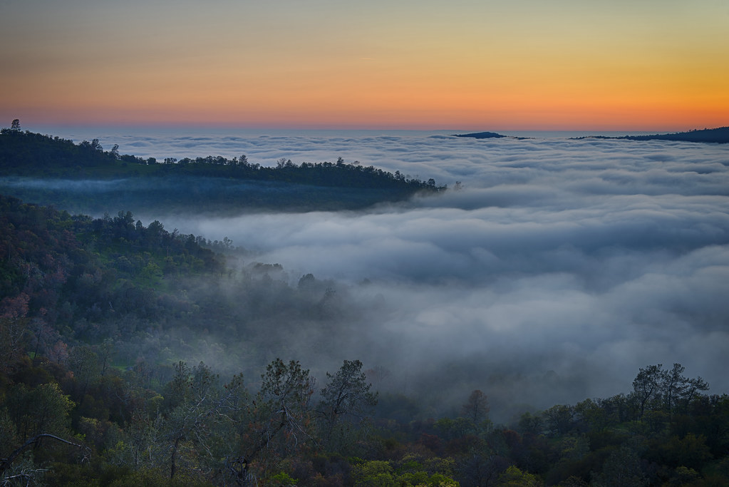
Ominous Sky
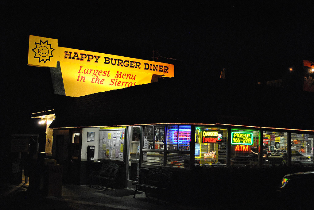
Largest Menu in the Sierra
St. Joseph's Church, Mariposa
A man paints with his brains and not with his hands…
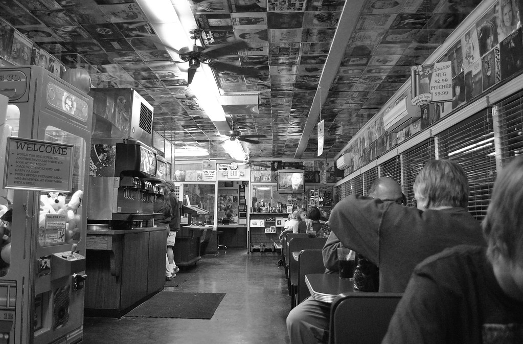
Cruising for Burgers
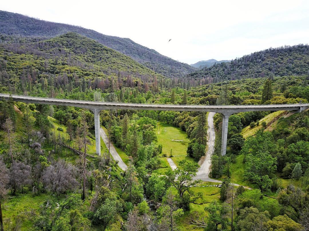
I've been eyeing this bridge for the past year finding a good day to fly by it. Well I was able to take my drone to work and was finally able to do it. This is the William Sell Bridge and it was built in 1972. It overlooks a beautiful view of the Sierras,
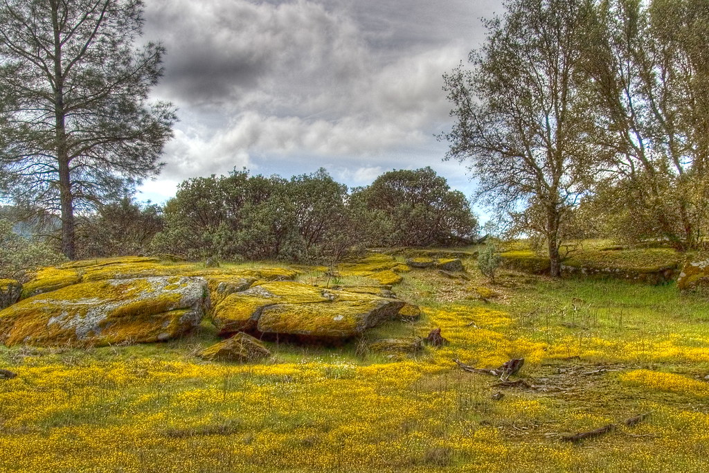
Spring Flowers
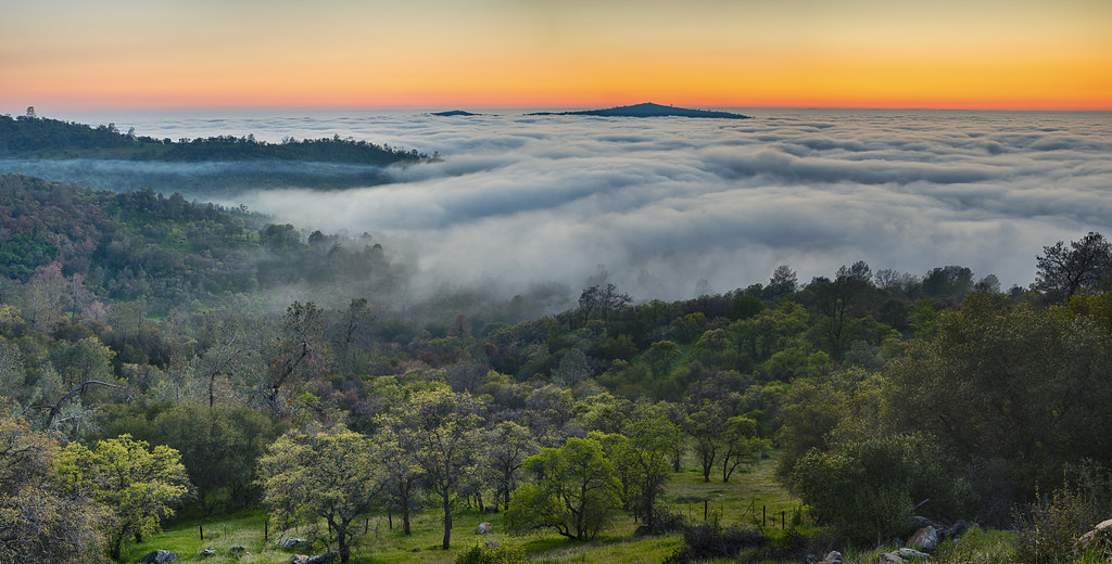
View From The Coast to Yosemite NP
Bad weather always looks worse through a window…
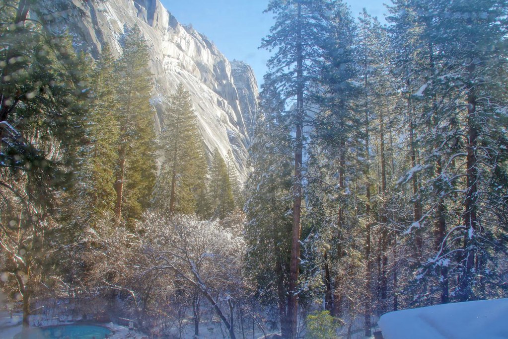
Yosemite In The Winter
California 006

Trip to Yosemite 149
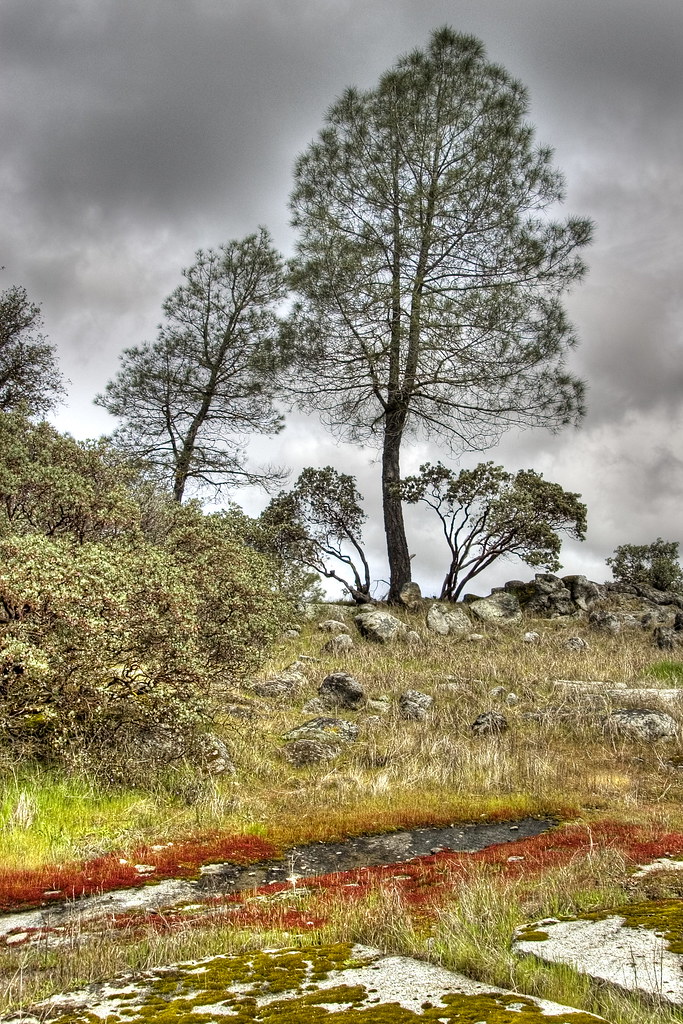
Red Moss

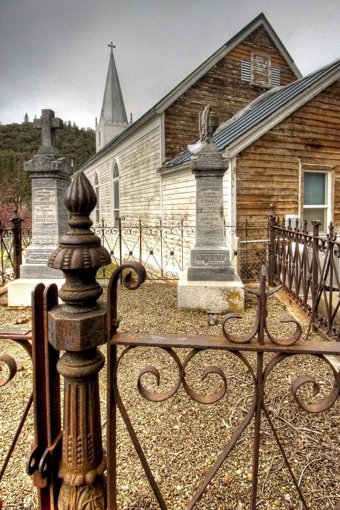
Cemetery, Mariposa
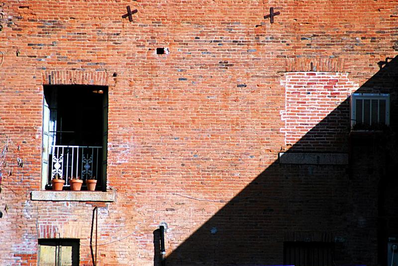
day 16 - brick building
200709018.jpg

Brochymena sulcata stink bug
Topographic Map of Bridgeport Dr, Mariposa, CA, USA
Find elevation by address:

Places near Bridgeport Dr, Mariposa, CA, USA:
4308 Buckeye Rd
4368 Bridgeport Dr
4438 Bridgeport Dr
4528 Royal Oaks Ct
4245 Burl Dr
Digger Pine Drive
4017 Dawn Rd
4341 Buckeye Creek Rd
4133 Wilburs Way
4120 Wilburs Way
3891 Ben Hur Rd
4165 Guadalupe Fire Rd
4739 Lookout Mountain Rd
Lookout Mountain Road
4162 Sullivan Rd
4127 Ashworth Rd
Old Oak Lane
Ashworth Road
4545 Ashworth Rd
4075 Ponds Way
Recent Searches:
- Elevation of Woodland Oak Pl, Thousand Oaks, CA, USA
- Elevation of Brownsdale Rd, Renfrew, PA, USA
- Elevation of Corcoran Ln, Suffolk, VA, USA
- Elevation of Mamala II, Sariaya, Quezon, Philippines
- Elevation of Sarangdanda, Nepal
- Elevation of 7 Waterfall Way, Tomball, TX, USA
- Elevation of SW 57th Ave, Portland, OR, USA
- Elevation of Crocker Dr, Vacaville, CA, USA
- Elevation of Pu Ngaol Community Meeting Hall, HWHM+3X7, Krong Saen Monourom, Cambodia
- Elevation of Royal Ontario Museum, Queens Park, Toronto, ON M5S 2C6, Canada