Elevation of Bridgeport Ave, Fairfield, CA, USA
Location: United States > California > Solano County > Fairfield >
Longitude: -122.13202
Latitude: 38.2084509
Elevation: 4m / 13feet
Barometric Pressure: 101KPa
Elevation Map:
Satellite Map:
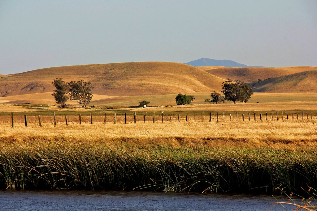
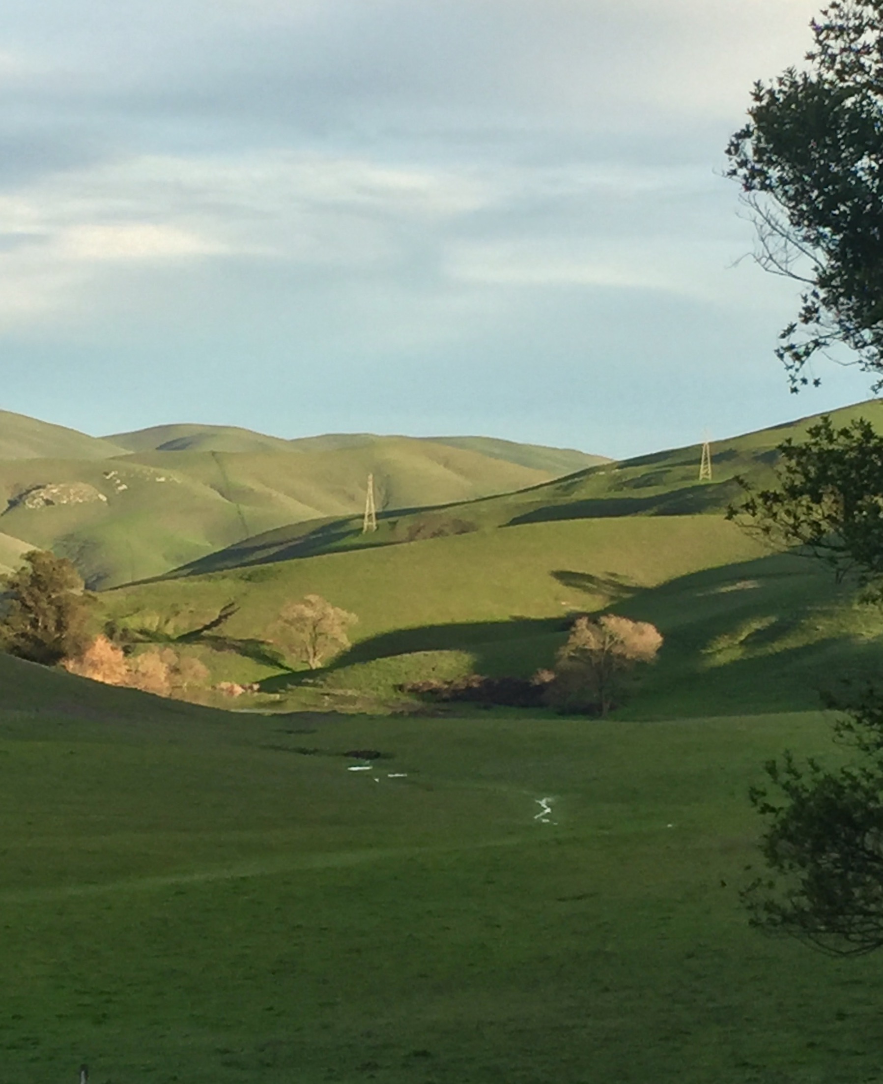
Related Photos:
Lawler View
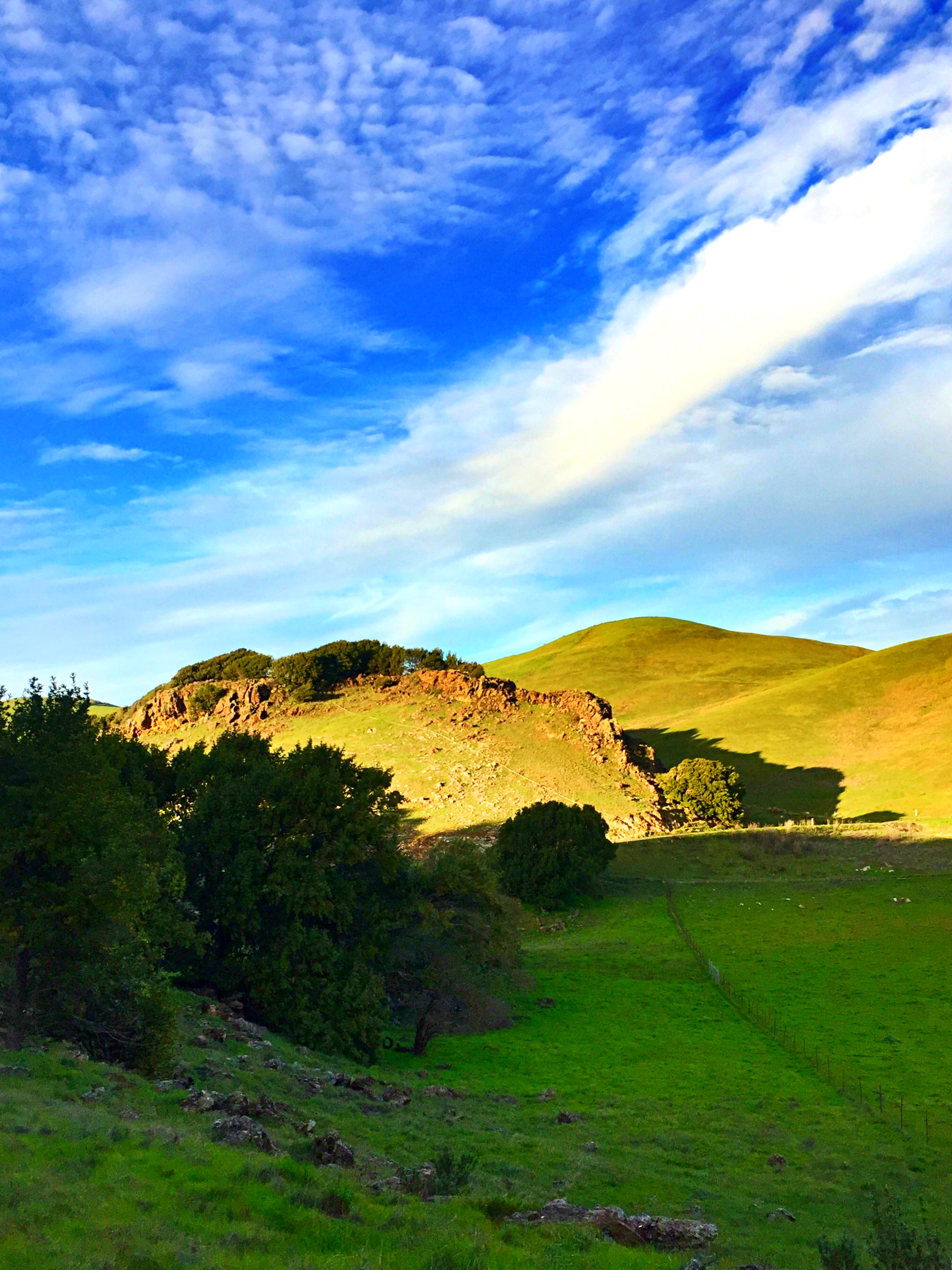
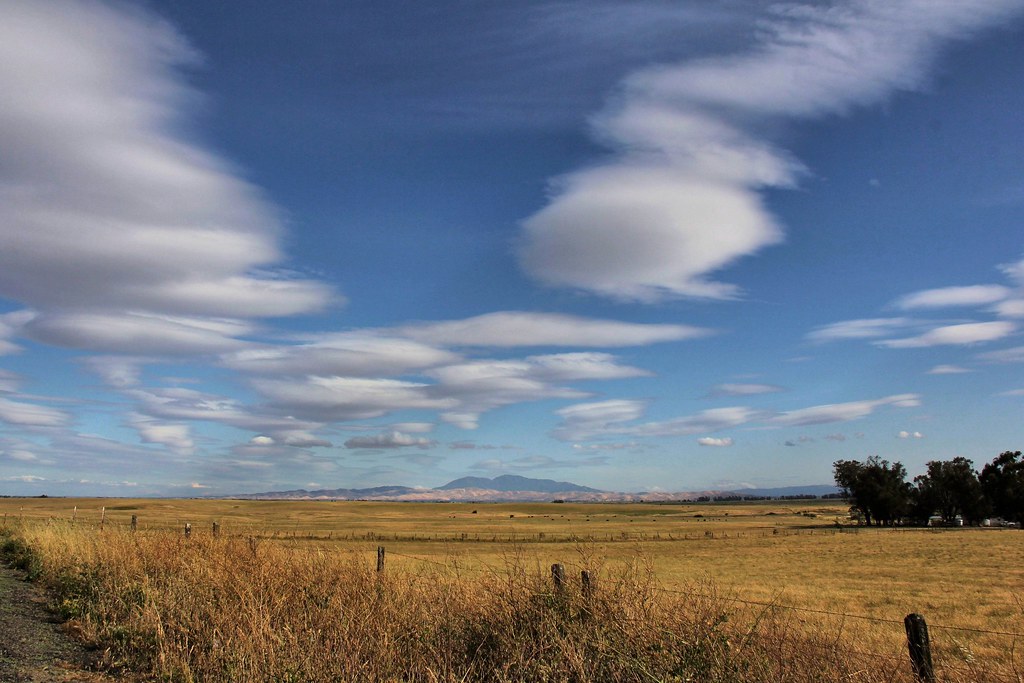
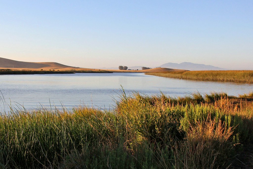
Views from behind the ranch

Vallejo View

The Easy Way
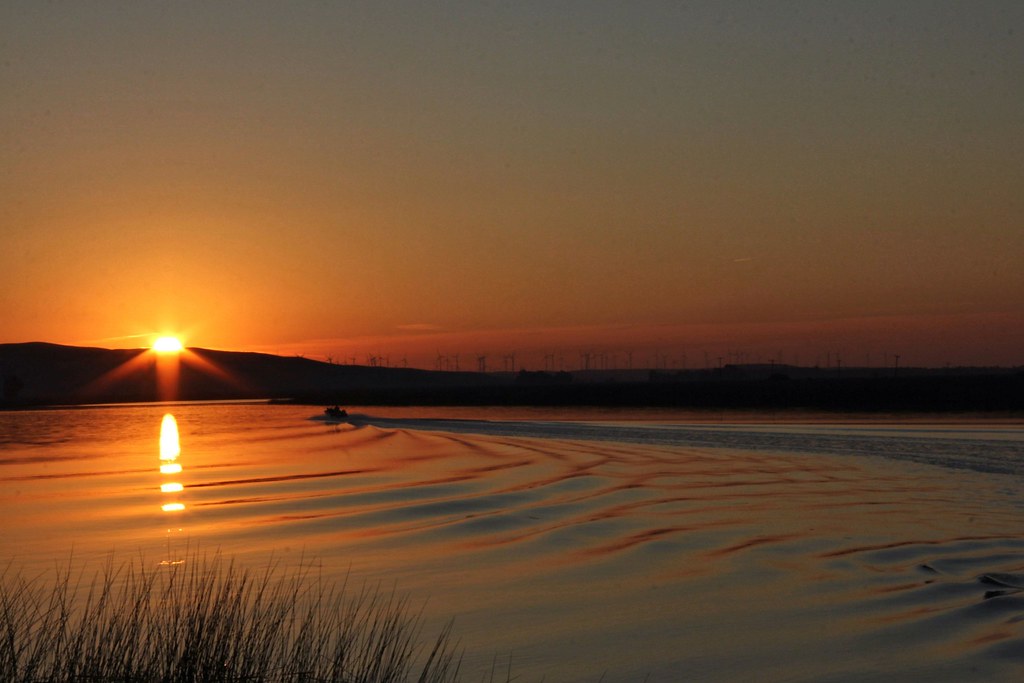
Atmospheric River (Explored)
Views from behind the ranch

Treasure hunt

Tiger Shark
Forecast: Blazing
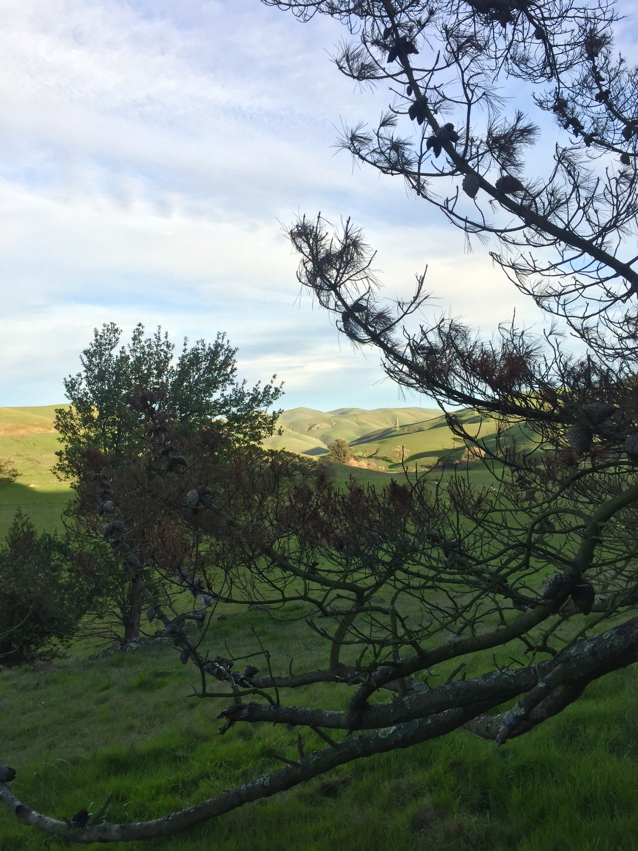
View from the back side of the ranch
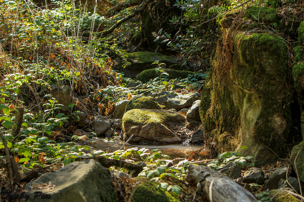
Marie Creek - Skyline Wilderness Park

Ran into The Society For Creative Anachronism???

We Used To Wait no.76
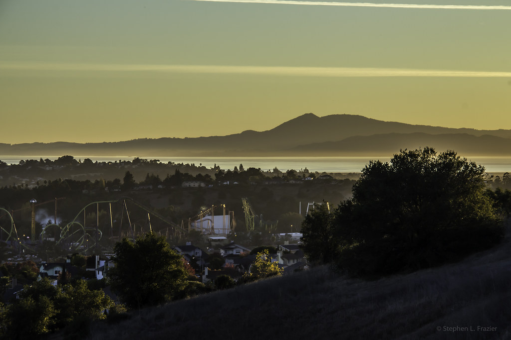
Discovery Kingdom

Golden Grass and Sunlit Bays
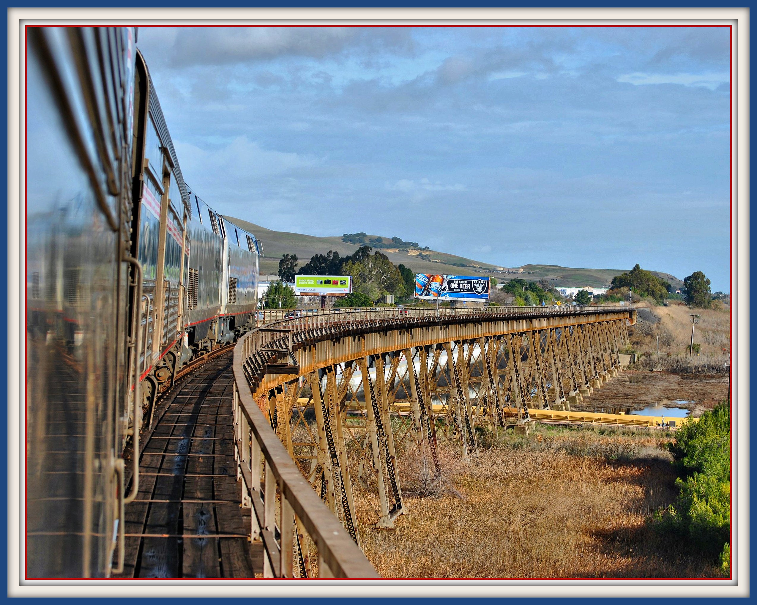
California Zephyr on Benicia California Trestle

Manta Ray no.75
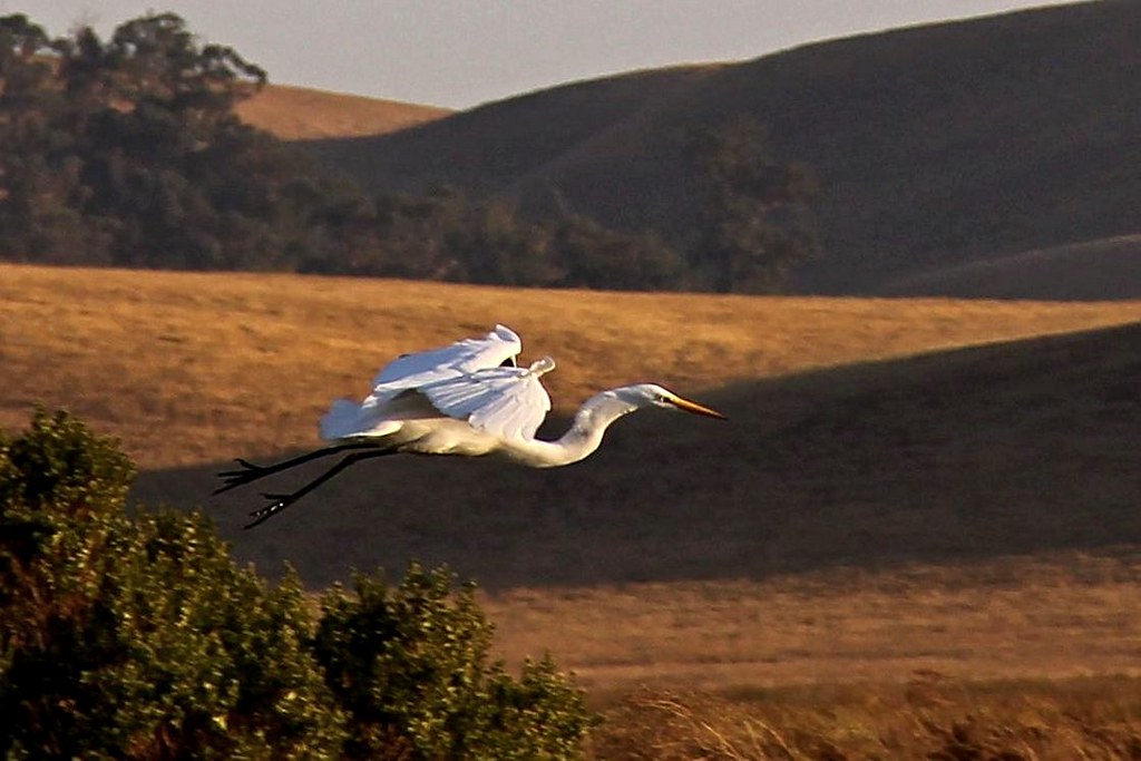
Great Egret

Fennec Fox

colorful parrot

Good Lies no.101

Castaneda Bros. Produce
Former Fence
The back entry to the ranch, & our old sheep fields
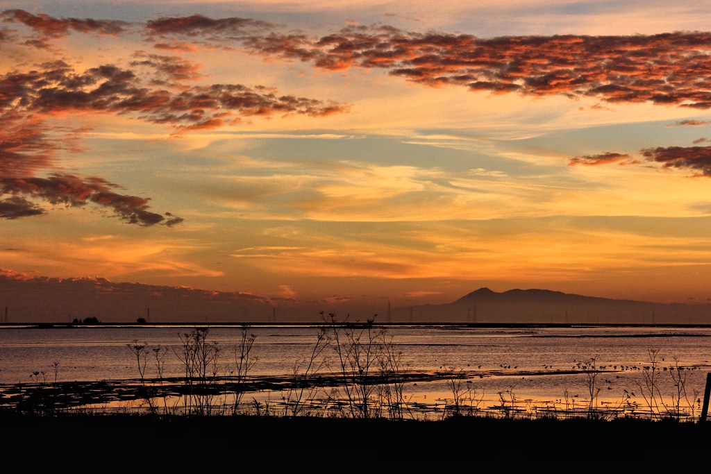
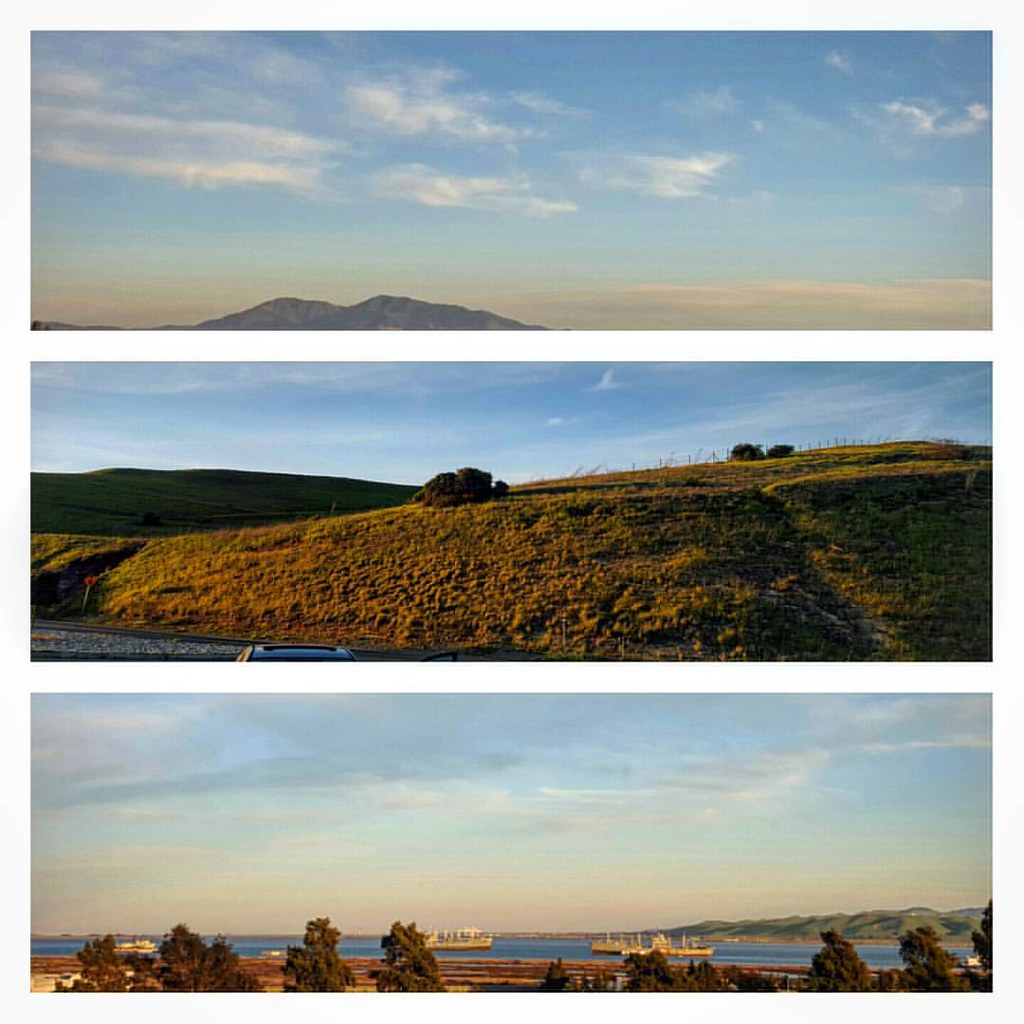
Clouds and Mt. Diablo

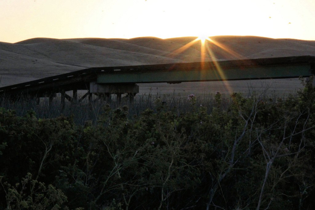
The Bridge at Hill Slough
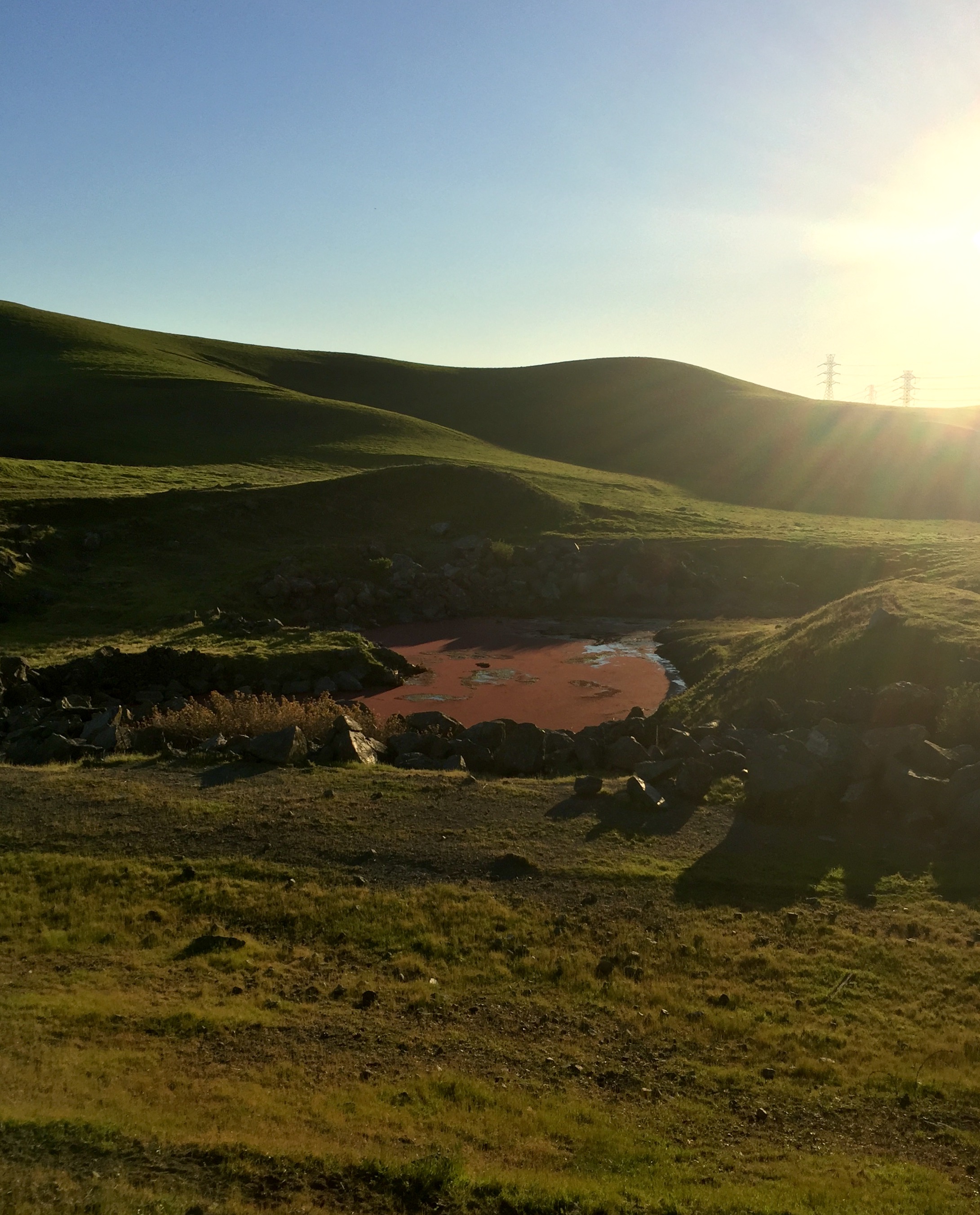
The pond at the ranch turned red. I've never seen that before.
Mount Tamalpais
Kirkland Road
Fishing at Sunrise
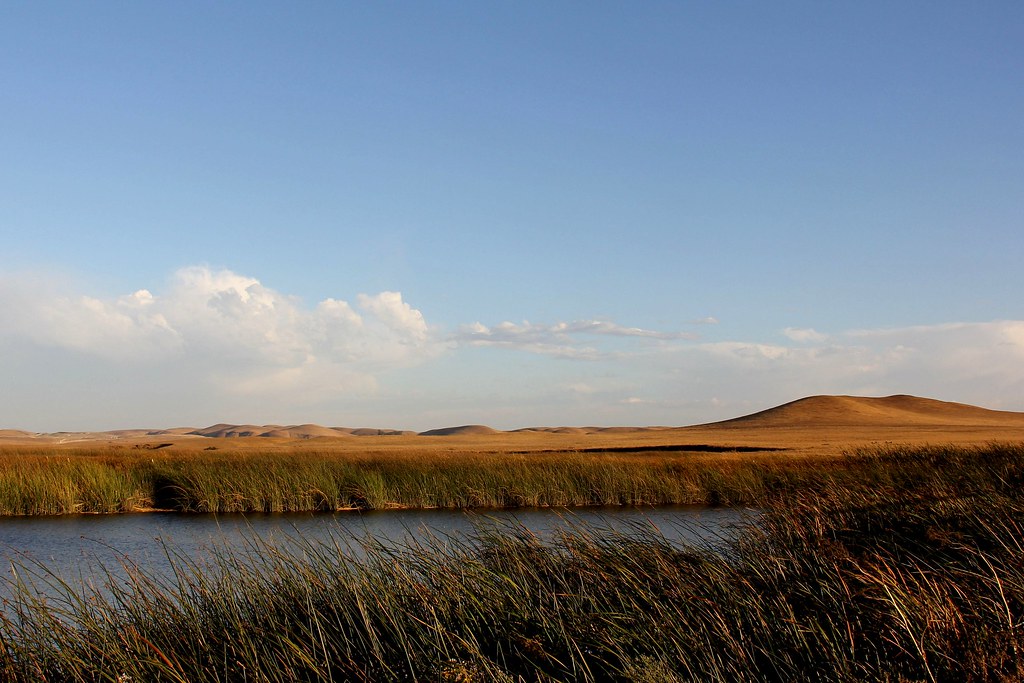
Peytonia Slough Ecological Reserve
Napa-Sonoma Marshes
I Made an Appearance
Heading back to zeruc-hq, stopped at a #vistapoint somewhere near the marshes of Suisun/Benecia. #zeruchontour #roadtrip
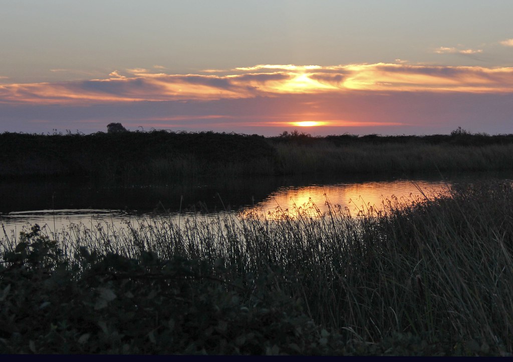
Slough Sunrise
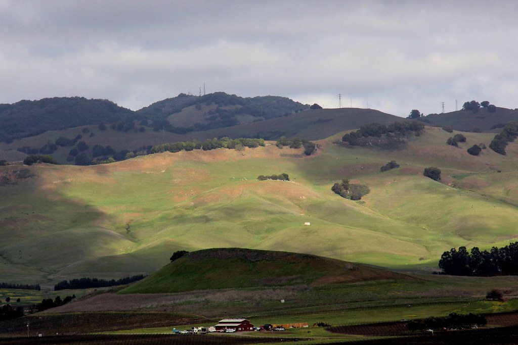
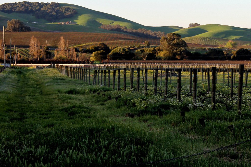
On Oat Hill

Canada Geese

Lonely fountain

Unringing the bell
Topographic Map of Bridgeport Ave, Fairfield, CA, USA
Find elevation by address:

Places near Bridgeport Ave, Fairfield, CA, USA:
Cordelia Rd, Fairfield, CA, USA
4550 Cordelia Rd
Central Place
701 Julmar Cir
Nelda Mundy Elementary School
572 Picasso Ct
572 Picasso Ct
675 Renaissance Ave
740 Antiquity Dr
5240 Tuscany Dr
2607 Cordelia Rd
2607 Cordelia Rd
Rockville Rd, Fairfield, CA, USA
Russell Rd, Fairfield, CA, USA
Cordelia Rd, Fairfield, CA, USA
4287 Abernathy Rd
Jacksnipe Rd, Fairfield, CA, USA
Auto Mall Parkway
105 Syne Ct
341 Hamilton Dr
Recent Searches:
- Elevation of Elwyn Dr, Roanoke Rapids, NC, USA
- Elevation of Congressional Dr, Stevensville, MD, USA
- Elevation of Bellview Rd, McLean, VA, USA
- Elevation of Stage Island Rd, Chatham, MA, USA
- Elevation of Shibuya Scramble Crossing, 21 Udagawacho, Shibuya City, Tokyo -, Japan
- Elevation of Jadagoniai, Kaunas District Municipality, Lithuania
- Elevation of Pagonija rock, Kranto 7-oji g. 8"N, Kaunas, Lithuania
- Elevation of Co Rd 87, Jamestown, CO, USA
- Elevation of Tenjo, Cundinamarca, Colombia
- Elevation of Côte-des-Neiges, Montreal, QC H4A 3J6, Canada