Elevation of Bridgepoint Dr, Kingsland, TX, USA
Location: United States > Texas > Llano County > Kingsland >
Longitude: -98.446173
Latitude: 30.6410002
Elevation: 255m / 837feet
Barometric Pressure: 98KPa
Elevation Map:
Satellite Map:
Related Photos:
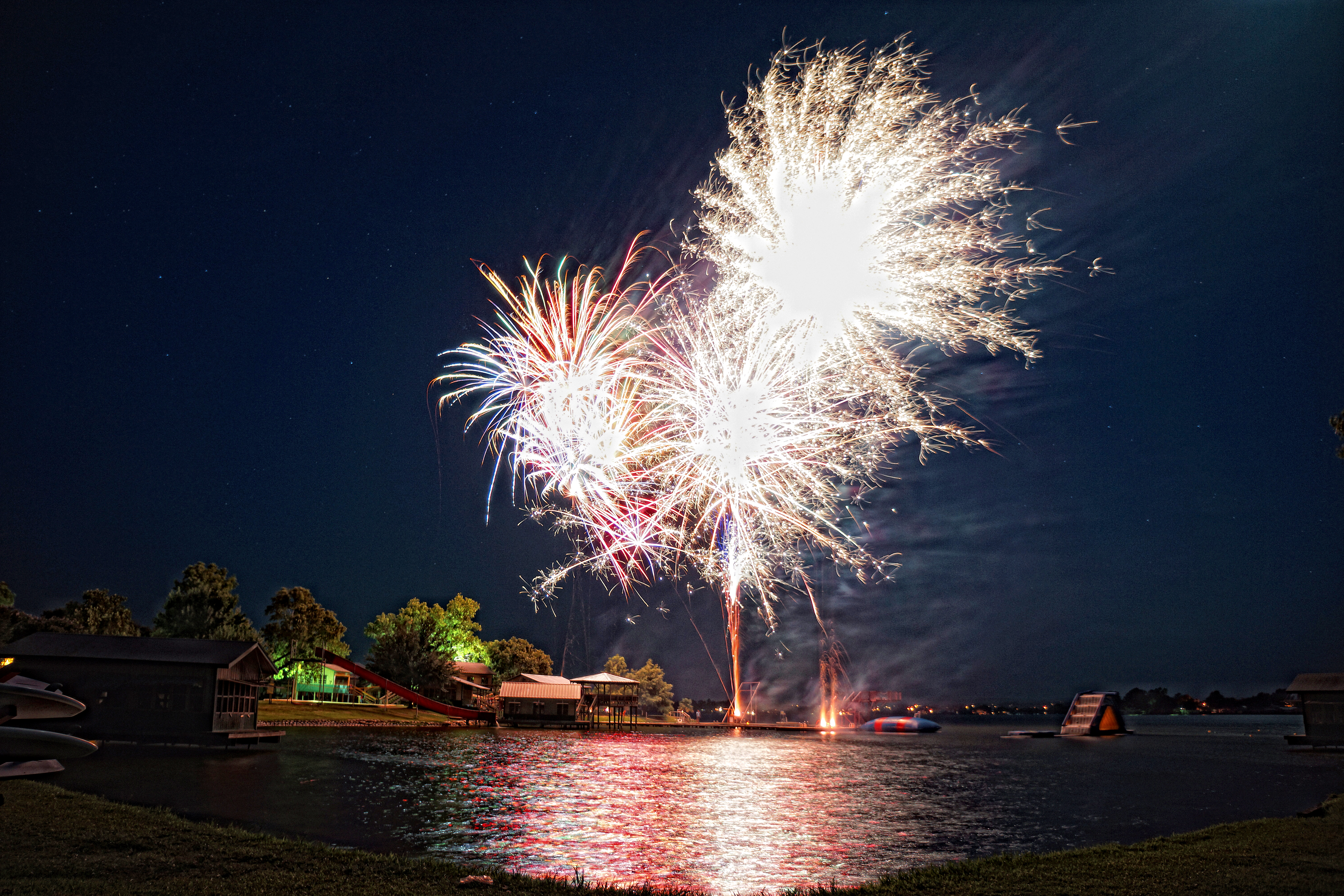
Camp Fireworks

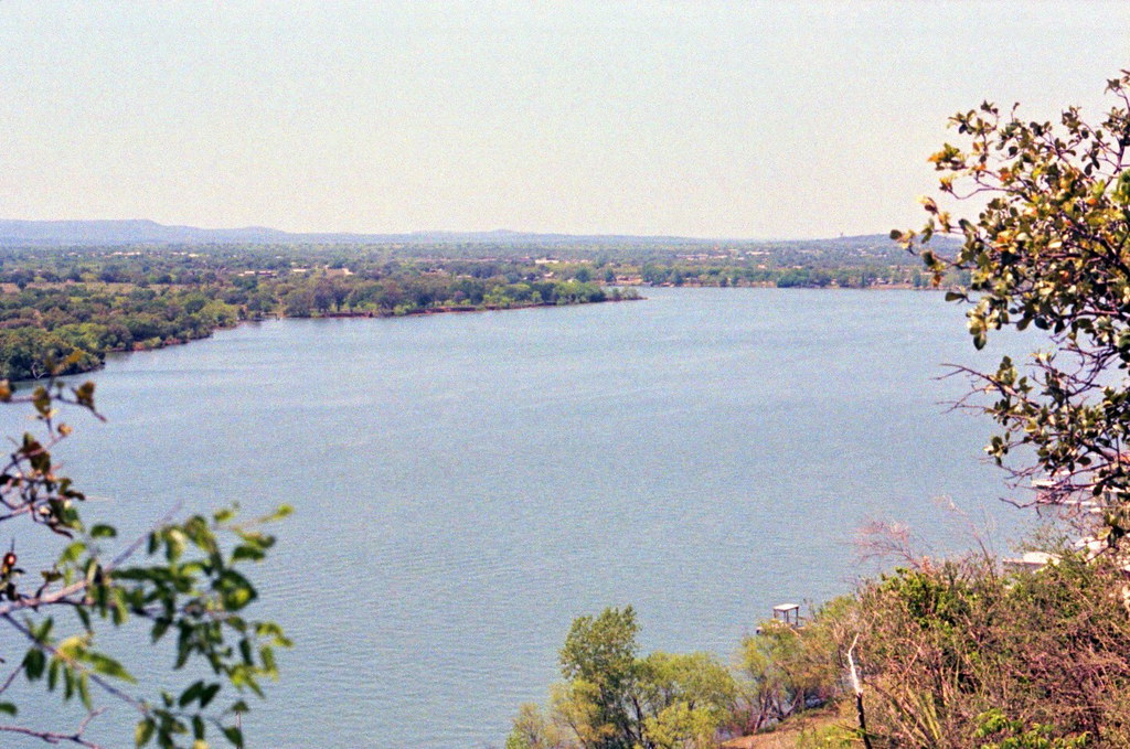
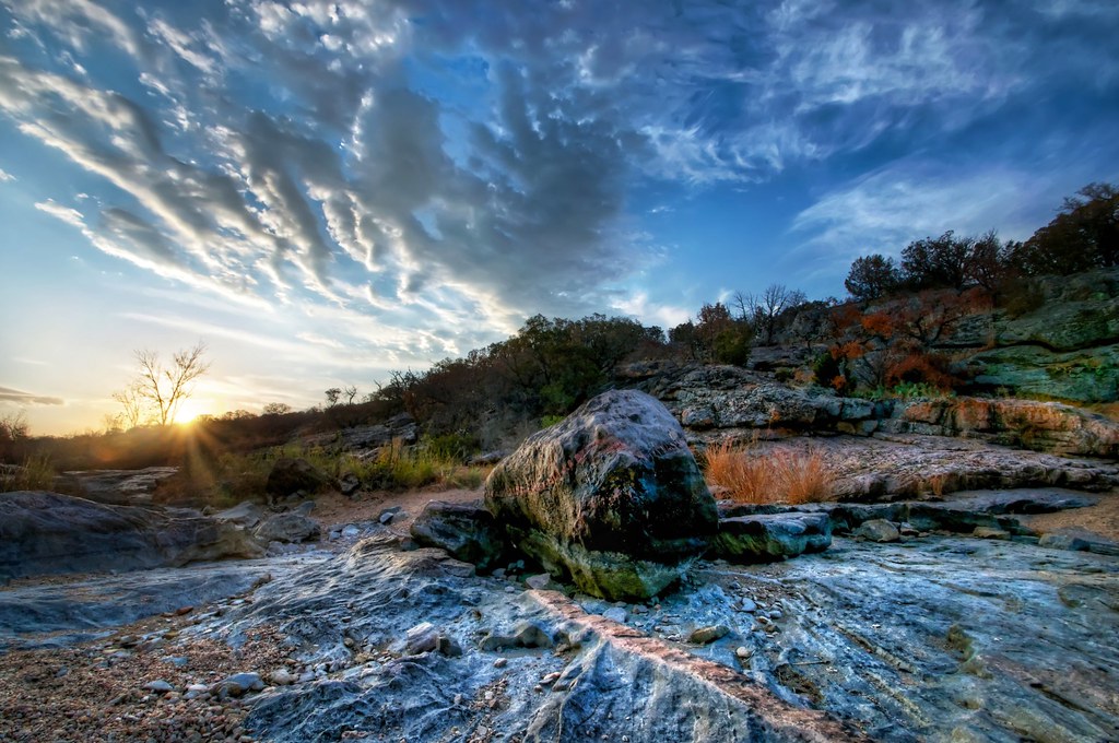
View from Highway Overlook, Texas Hill Country

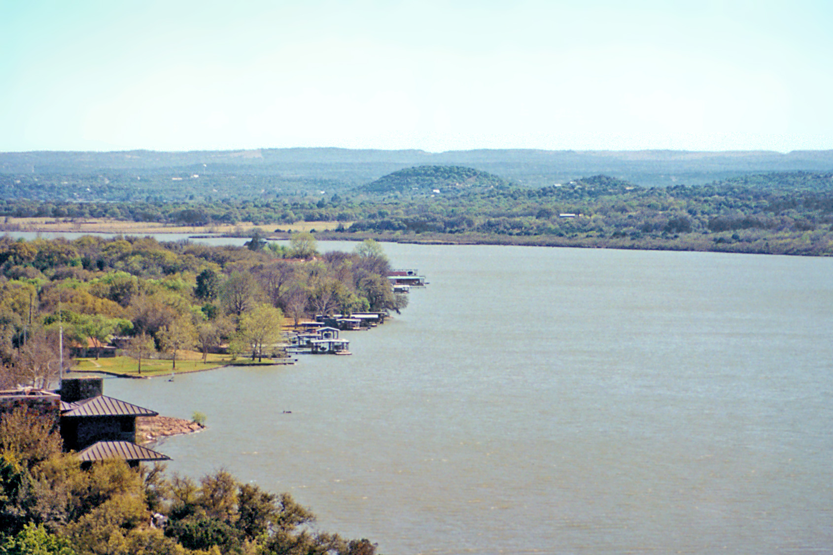
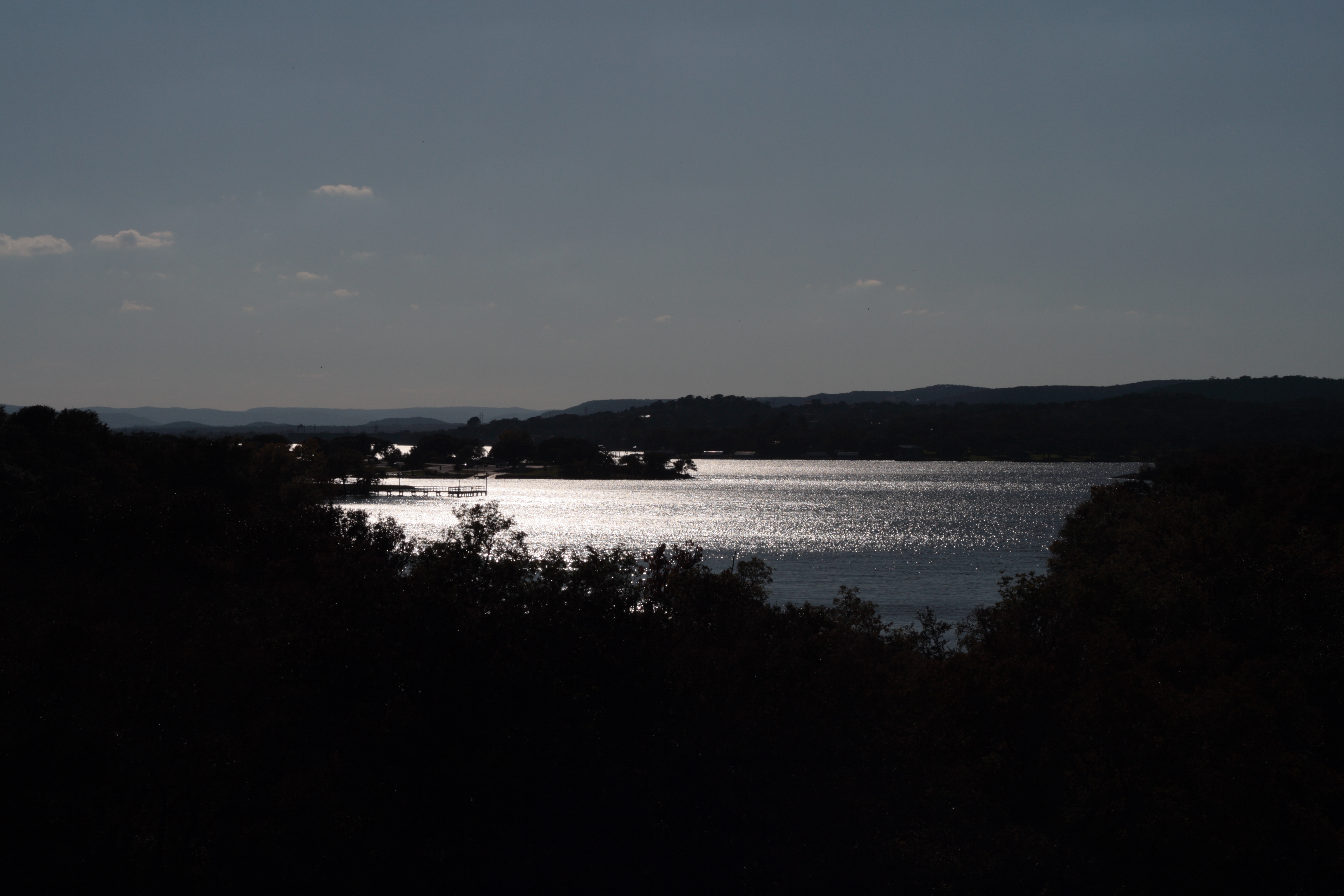
Lake Lyndon B. Johnson & Homes from Highway Overlook, Texas Hill Country
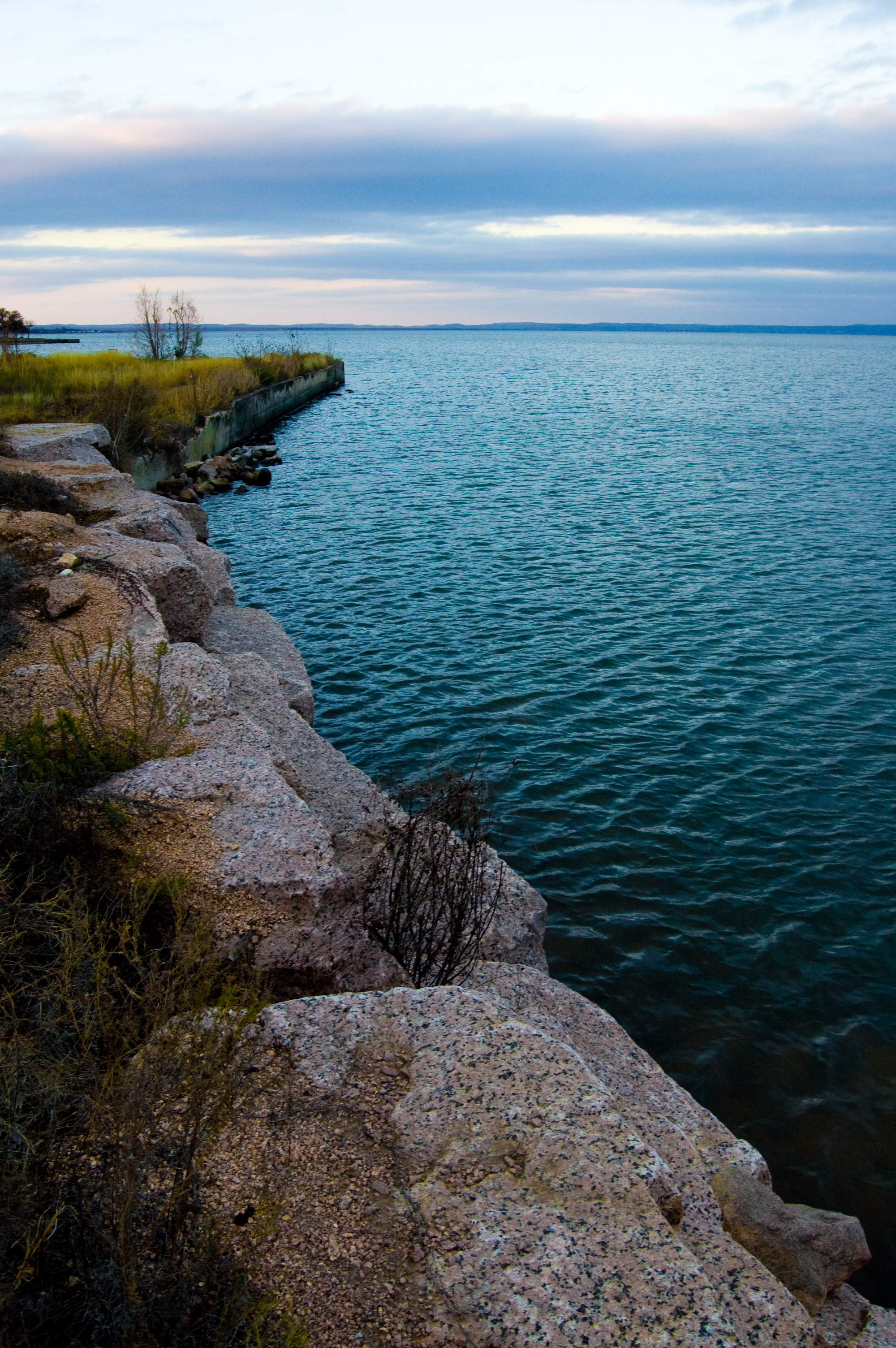
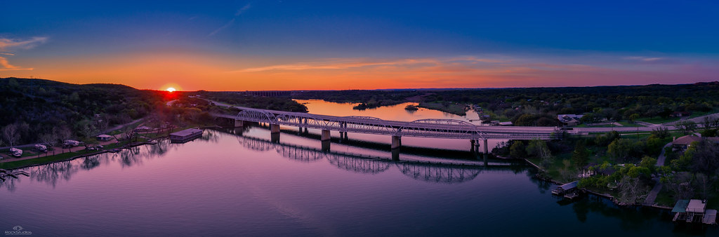
Lake LBJ
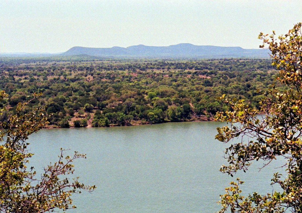
Lake Lyndon B Johnson from Overlook, Texas Hill Country
Packsaddle peak

Race the sun

House Side view PA082102

Railing corner view PA062063

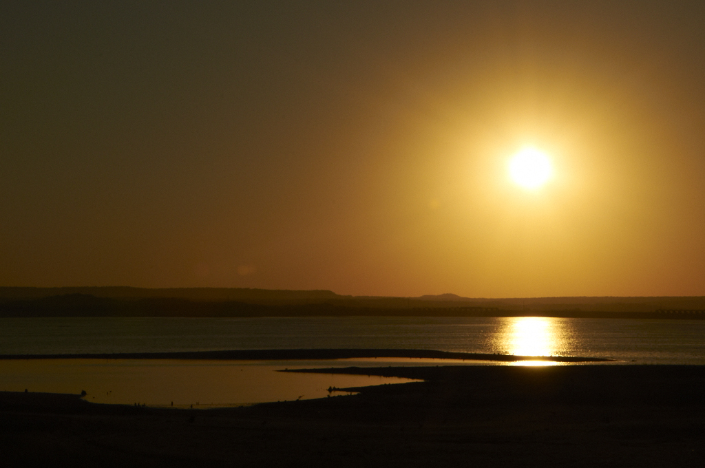
Sunset PA062064

May the wind take your troubles away

Easterly view PA082115

The Keep
view out on to inks lake

179/365 ~ June 28, 2010
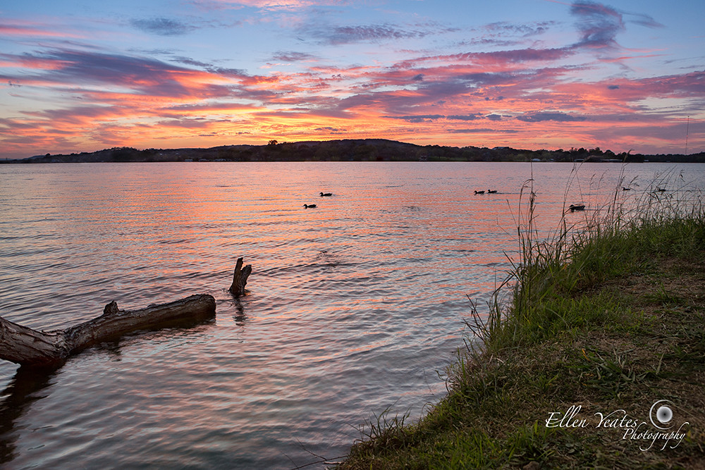
Lake Buchanan
Morning Has Broken

view from our campsite

Inks Lake State Park

100 Second Sunset

Moss Creek Crossing
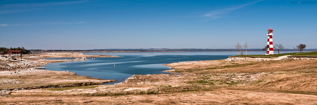
Dry Times at Lake Buchanan

Ink's Lake sunset
Inks Lake State Park

Inks Lake Sunrise
Inks Lake

Burnet - Danger
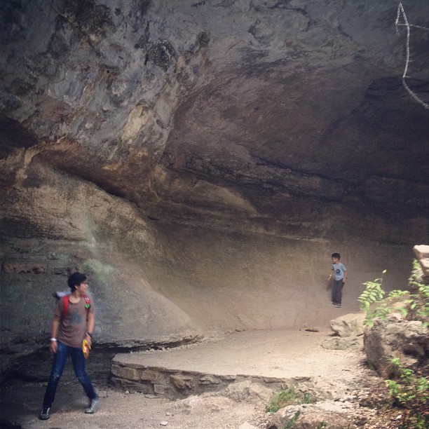
#cavestagram
Last Bath of the Day
20100407 Ink Lake 031.jpg
Spring Creek: Inks Lake State Park

four-foot, six-inches

addie by the lake

Burnet - Going Underground

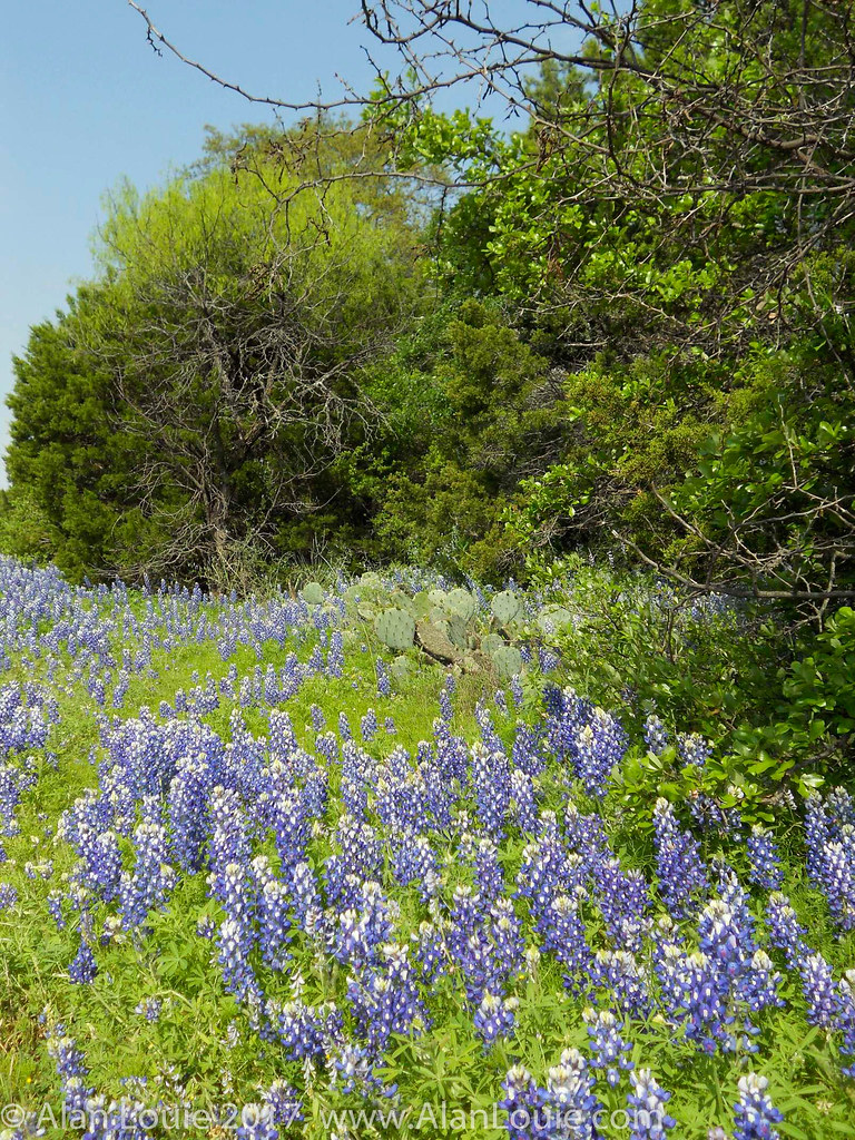
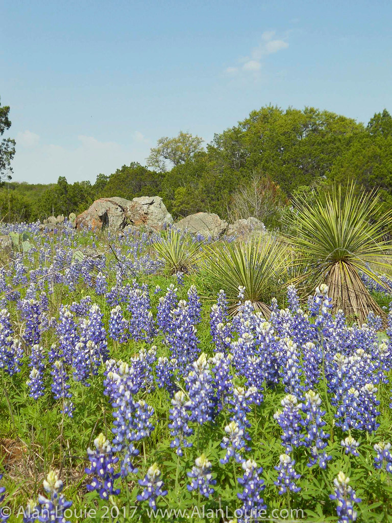
Greenthread and Bluebonnet Field (panoramic)
2014-05-04 09.30.45
Spring Creek: Inks Lake State Park

Burnet - Reaching The Surface
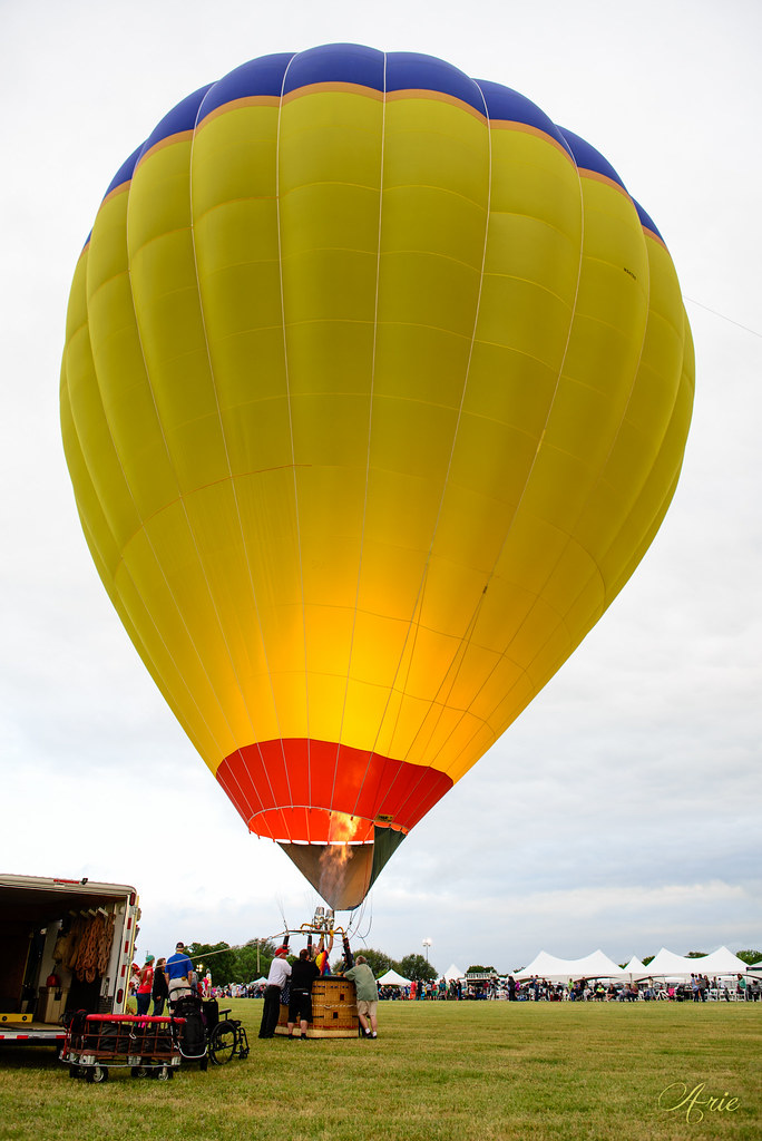
5th annual Balloons Over Horseshoe Bay Resort
20100407 Ink Lake 032.jpg

Burnet - Longhorn Caverns Exit into the Garden

Lake Swim
Topographic Map of Bridgepoint Dr, Kingsland, TX, USA
Find elevation by address:

Places near Bridgepoint Dr, Kingsland, TX, USA:
206 Mesquite St
207 Pecan
Kingsland
340 Chesterfield Dr
708 Midland St
607 Ridgeway St
2506 Hatfield Dr
Midland Street
Hatfield Drive
2183 Wisteria
314 Ridgeway St
4308 Mountain View Dr
480 Spring St
480 Spring St
480 Spring St
1860 Indian Trail
4718 River Oaks Dr
5102 River Oaks Dr
County Road 306
Texas 71
Recent Searches:
- Elevation of Jalan Senandin, Lutong, Miri, Sarawak, Malaysia
- Elevation of Bilohirs'k
- Elevation of 30 Oak Lawn Dr, Barkhamsted, CT, USA
- Elevation of Luther Road, Luther Rd, Auburn, CA, USA
- Elevation of Unnamed Road, Respublika Severnaya Osetiya — Alaniya, Russia
- Elevation of Verkhny Fiagdon, North Ossetia–Alania Republic, Russia
- Elevation of F. Viola Hiway, San Rafael, Bulacan, Philippines
- Elevation of Herbage Dr, Gulfport, MS, USA
- Elevation of Lilac Cir, Haldimand, ON N3W 2G9, Canada
- Elevation of Harrod Branch Road, Harrod Branch Rd, Kentucky, USA