Elevation of Bridesville, BC V0H, Canada
Location: Canada > British Columbia >
Longitude: -119.15215
Latitude: 49.037014
Elevation: 1030m / 3379feet
Barometric Pressure: 90KPa
Elevation Map:
Satellite Map:
Related Photos:
View from my lunchspot today...
View from my lunchspot today...
View from my lunchspot today...
Once Was . . .
View from my lunchspot today...
View from my lunchspot today...

View from my lunchspot today...

360 view from atop Burrowing Owl
Marching Aspens
View from my lunchspot today (part one)
View from my lunchspot today...
View from my lunchspot today...
View from my lunchspot today...

View from my lunchspot today (part two)...

View from my lunchspot today...
Those strange American customs

Two old Barns

Polarized Sunglasses View of Chesaw

Polarized Sunglasses View of Porphyry Peak

Polarized Sunglasses View of Porphyry Peak

Polarized Sunglasses View of Porphyry Peak

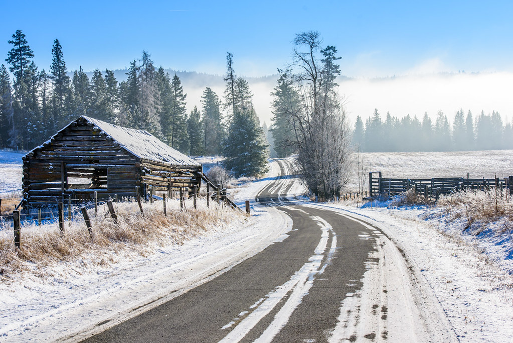
Okanogan Winter

#ghosttown #washington #northwest

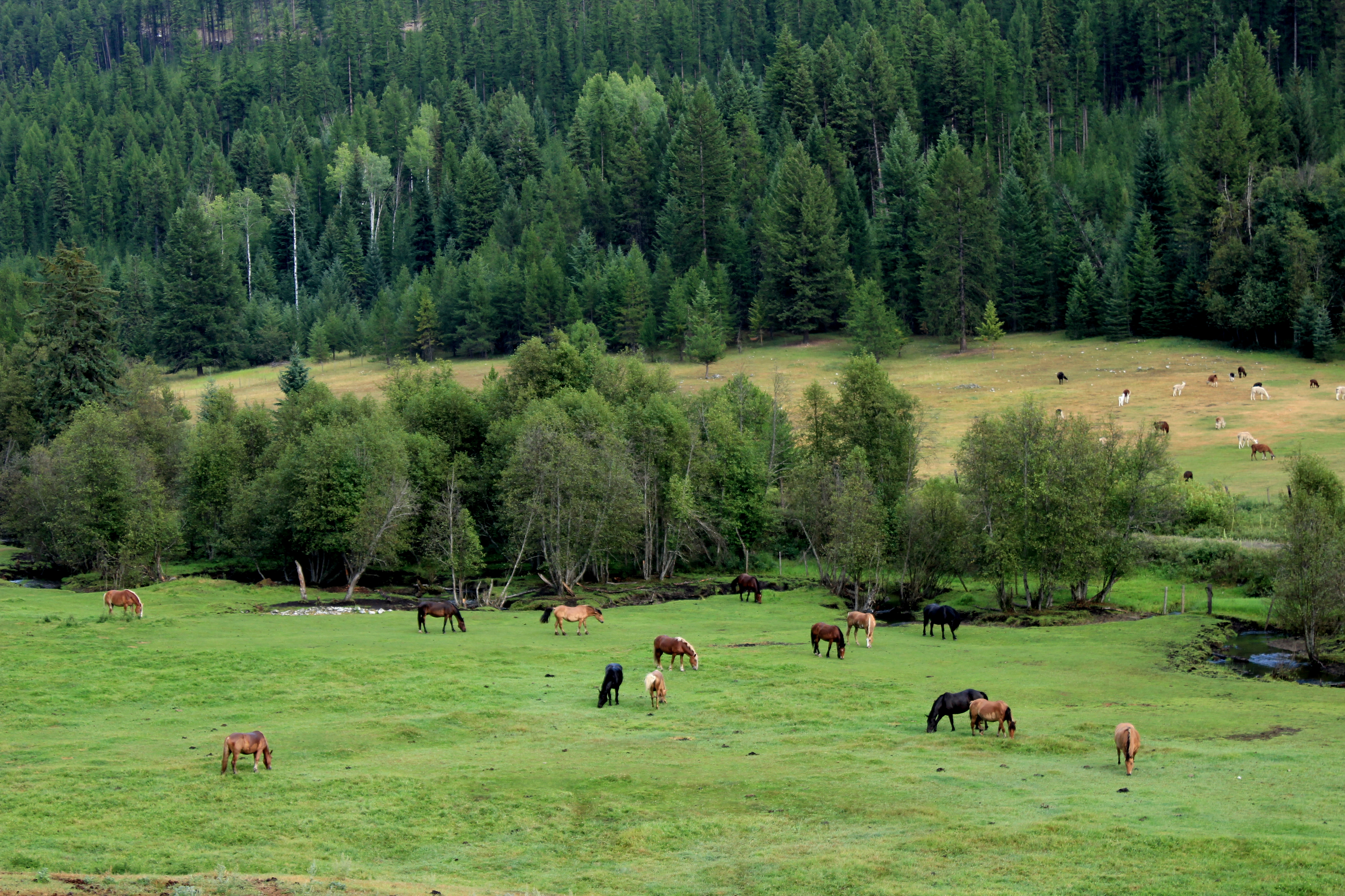
Fields of green.

Beaver Pond

If you don't like the weather, take a drive

Descending Porphyry Peak (part of polarized sunglasses panorama)
Idyllic scene along the Crowsnest Highway
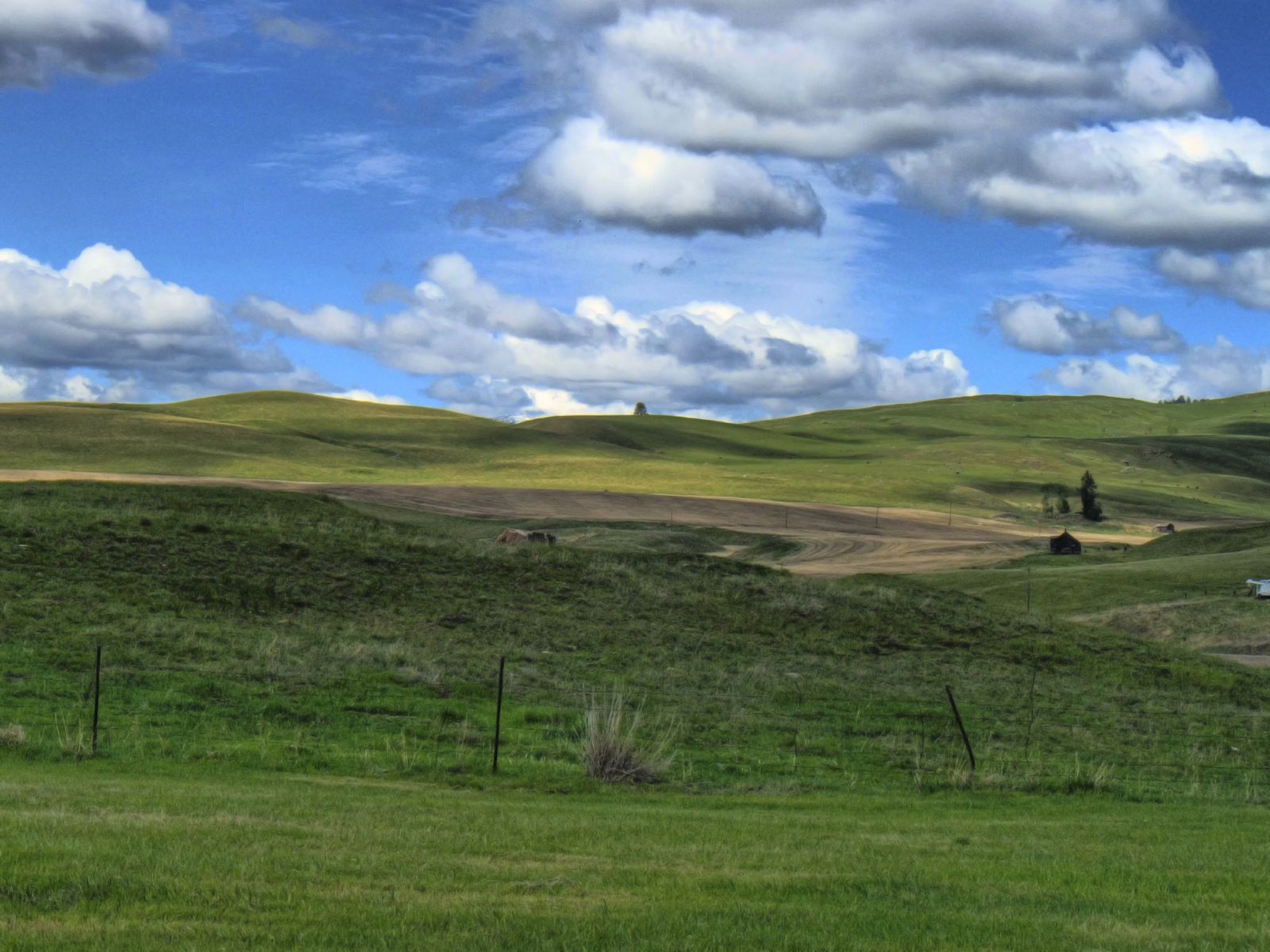
Open Country

Part of Chesaw Valley Panorama
Old barn, country road

Part of Chesaw Valley Panorama

Descending Porphyry Peak (part of polarized sunglasses panorama)

Part of Chesaw Valley Panorama
Topographic Map of Bridesville, BC V0H, Canada
Find elevation by address:

Places in Bridesville, BC V0H, Canada:
Places near Bridesville, BC V0H, Canada:
5670 Bridesville Townsite Rd
Courtenay-brown Road
111 Gafvery Creek Rd
74 Gafvery Creek Rd
2 Mountain View Dr
40 Turner Homestead Rd
Chesaw
106 Turner Homestead Rd
288 Hungry Hollow Rd
106 Bartroff Rd
428 Nealey Rd
Stage Coach Loop Road
48 Stage Coach Loop Rd
100 Wapato Rd
125 Wapato Rd
125 Wapato Rd
Buckhorn Mountain
168 Prior Loop Rd
Kettle Valley Golf Club
Recent Searches:
- Elevation of Tenjo, Cundinamarca, Colombia
- Elevation of Côte-des-Neiges, Montreal, QC H4A 3J6, Canada
- Elevation of Bobcat Dr, Helena, MT, USA
- Elevation of Zu den Ihlowbergen, Althüttendorf, Germany
- Elevation of Badaber, Peshawar, Khyber Pakhtunkhwa, Pakistan
- Elevation of SE Heron Loop, Lincoln City, OR, USA
- Elevation of Slanický ostrov, 01 Námestovo, Slovakia
- Elevation of Spaceport America, Co Rd A, Truth or Consequences, NM, USA
- Elevation of Warwick, RI, USA
- Elevation of Fern Rd, Whitmore, CA, USA