Elevation of Bret Harte Ct, Castro Valley, CA, USA
Location: United States > California > Alameda County > Castro Valley >
Longitude: -122.03387
Latitude: 37.7161433
Elevation: 218m / 715feet
Barometric Pressure: 99KPa
Elevation Map:
Satellite Map:
Related Photos:

Almost got it! ~ Cedar Waxwing (Bombycilla cedrorum)
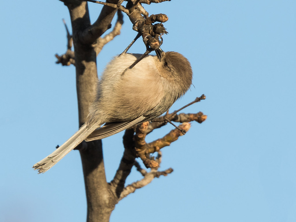
Bushtit / American Bushtit (Psaltriparus minimus) (sp. # 182)

Hillcrest 20170718

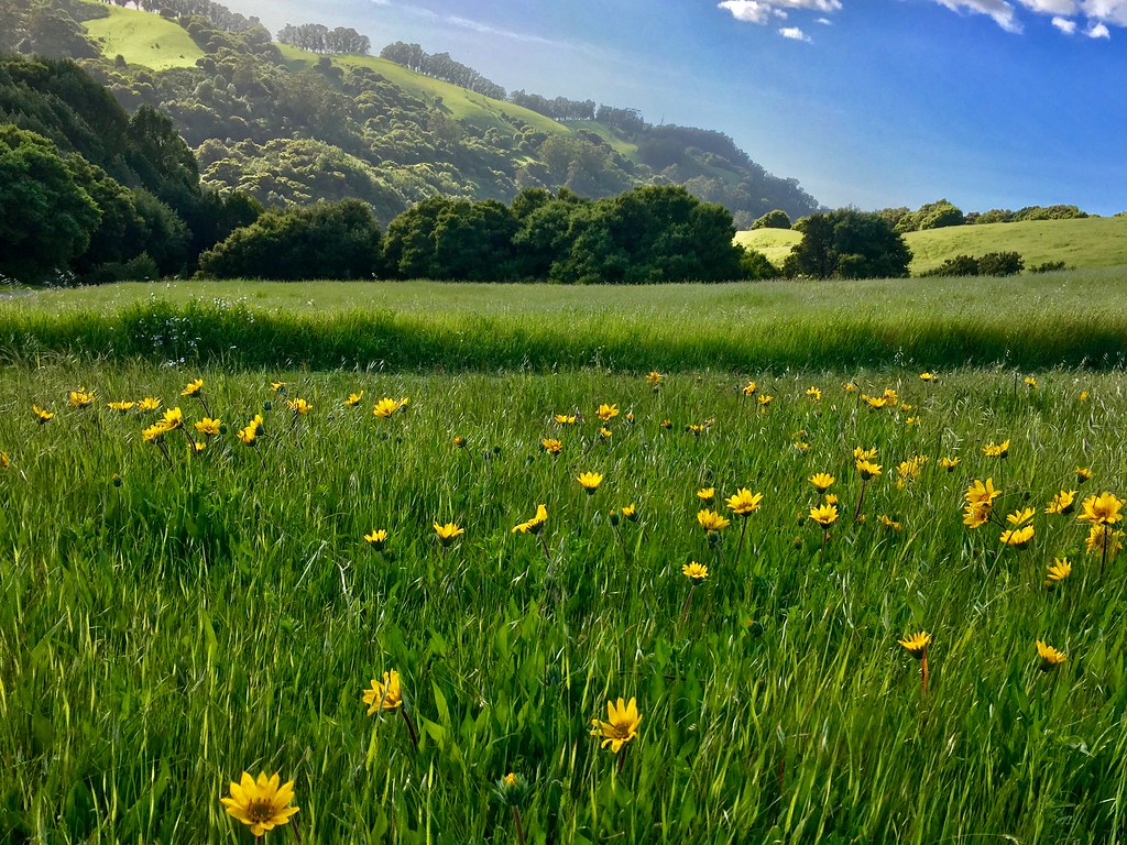
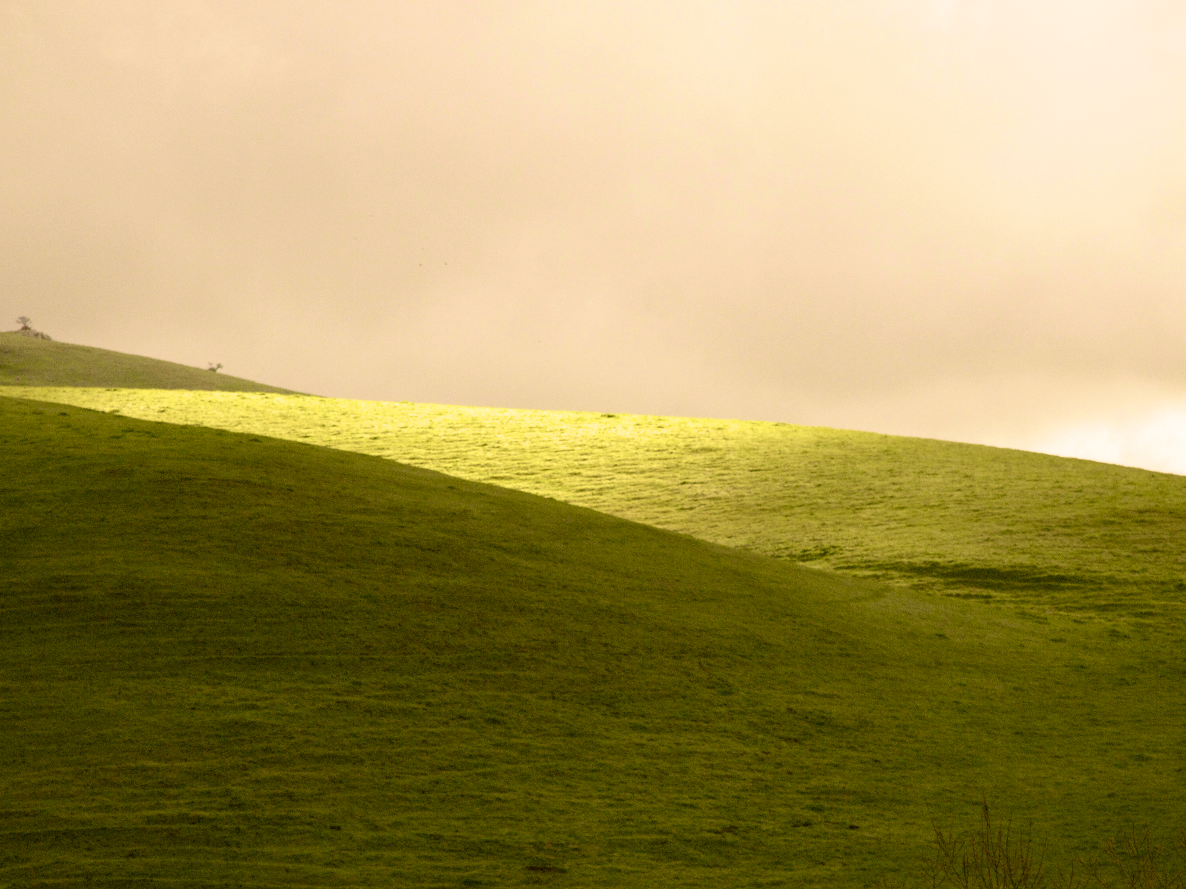
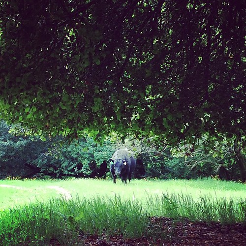
In the middle of grass
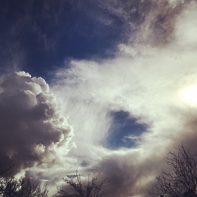
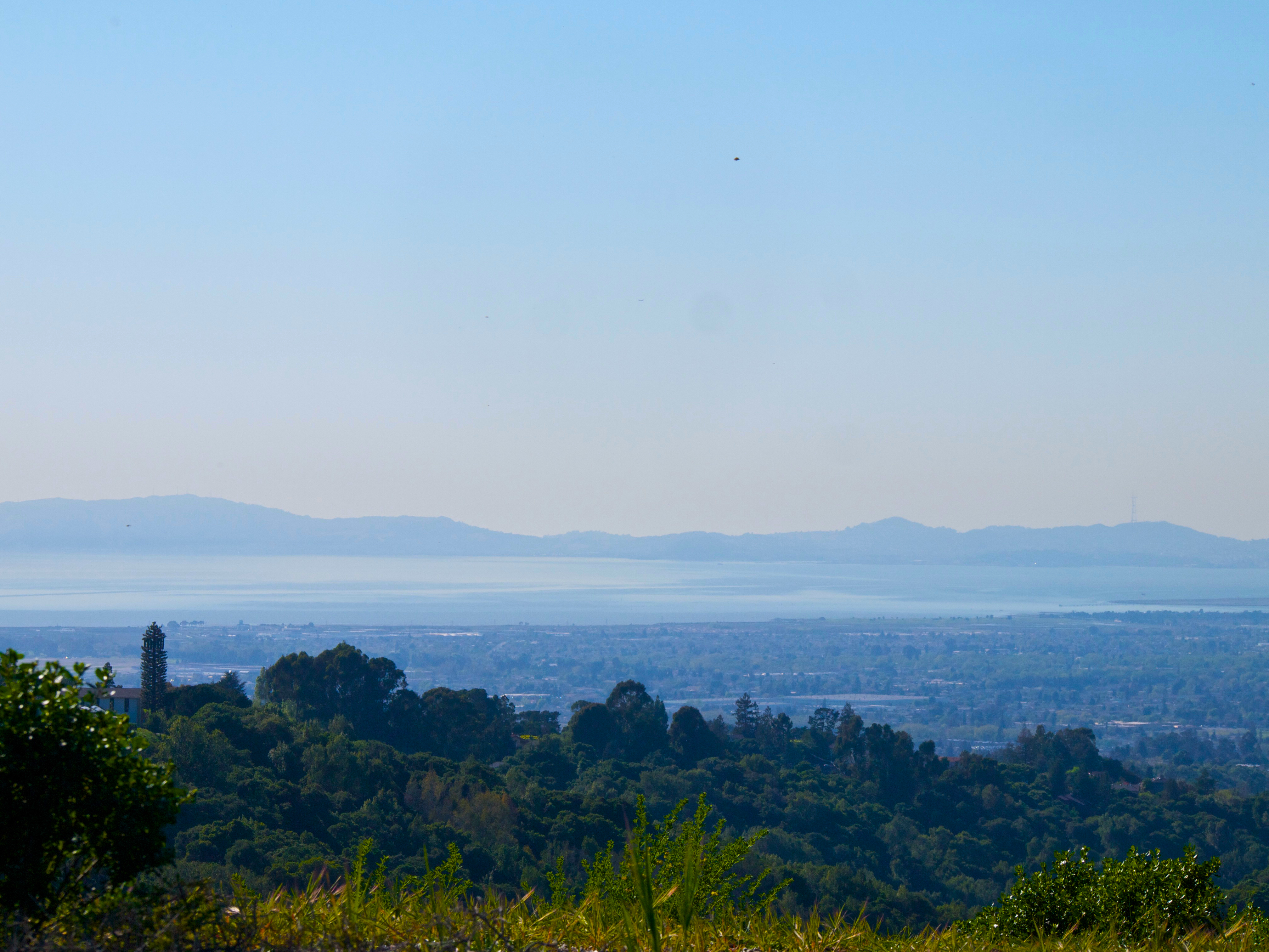
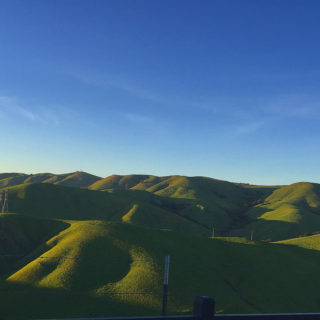
#cloud #sky #blue #circular #circle #sun #nature #view #scenery
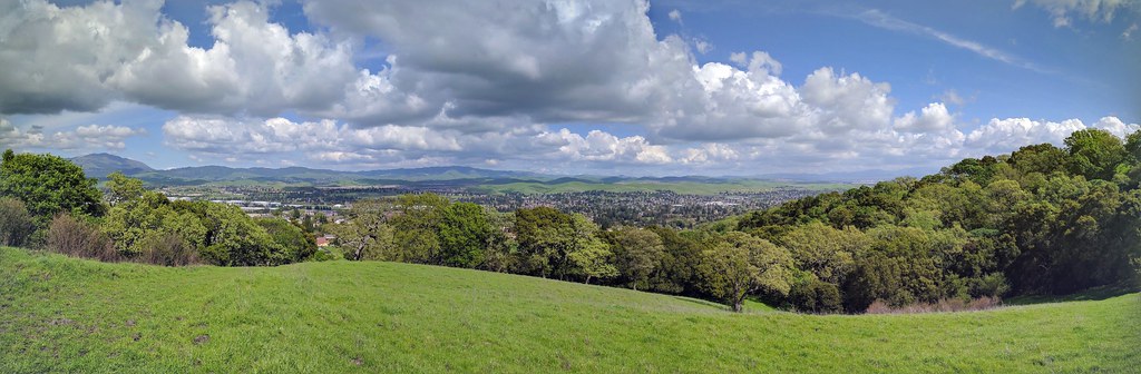
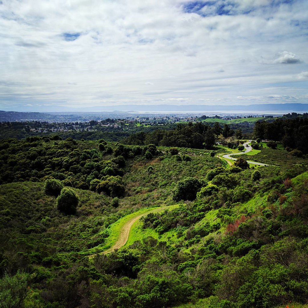
mills skyline
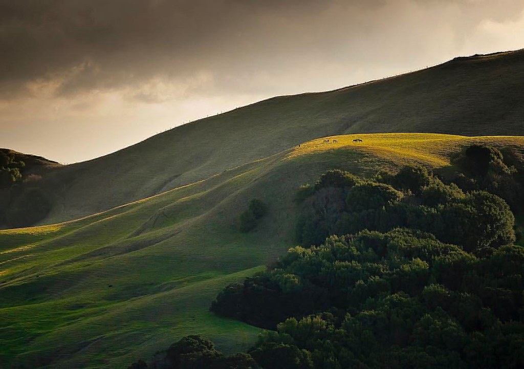
Horses taking in the views above Danville. © Sean Arbabi | seanarbabi.com (all rights reserved worldwide) #danvilleca #lastrampasregionalwilderness #eastbayregionalparks #sanfranciscobayarea #nikon #naturephotography #horses #horsesofinstagram

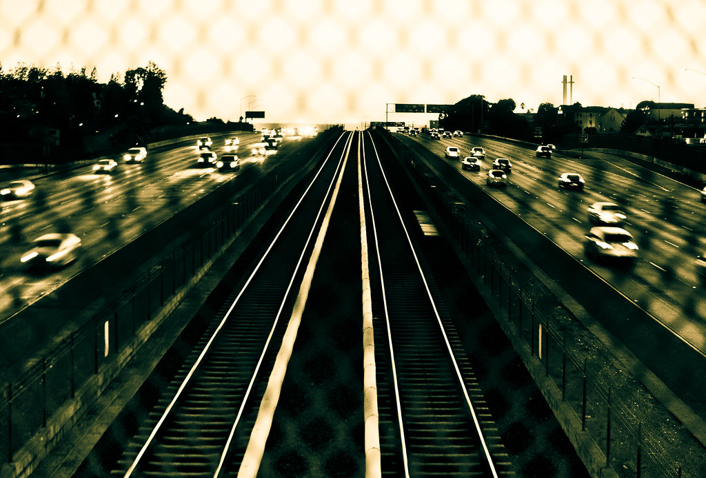
wheels on fire

Fluorescein Dye

Barn Swallow

I've been to

A Gnarly Sunset - California Oak
JA Lewis Park 20150326
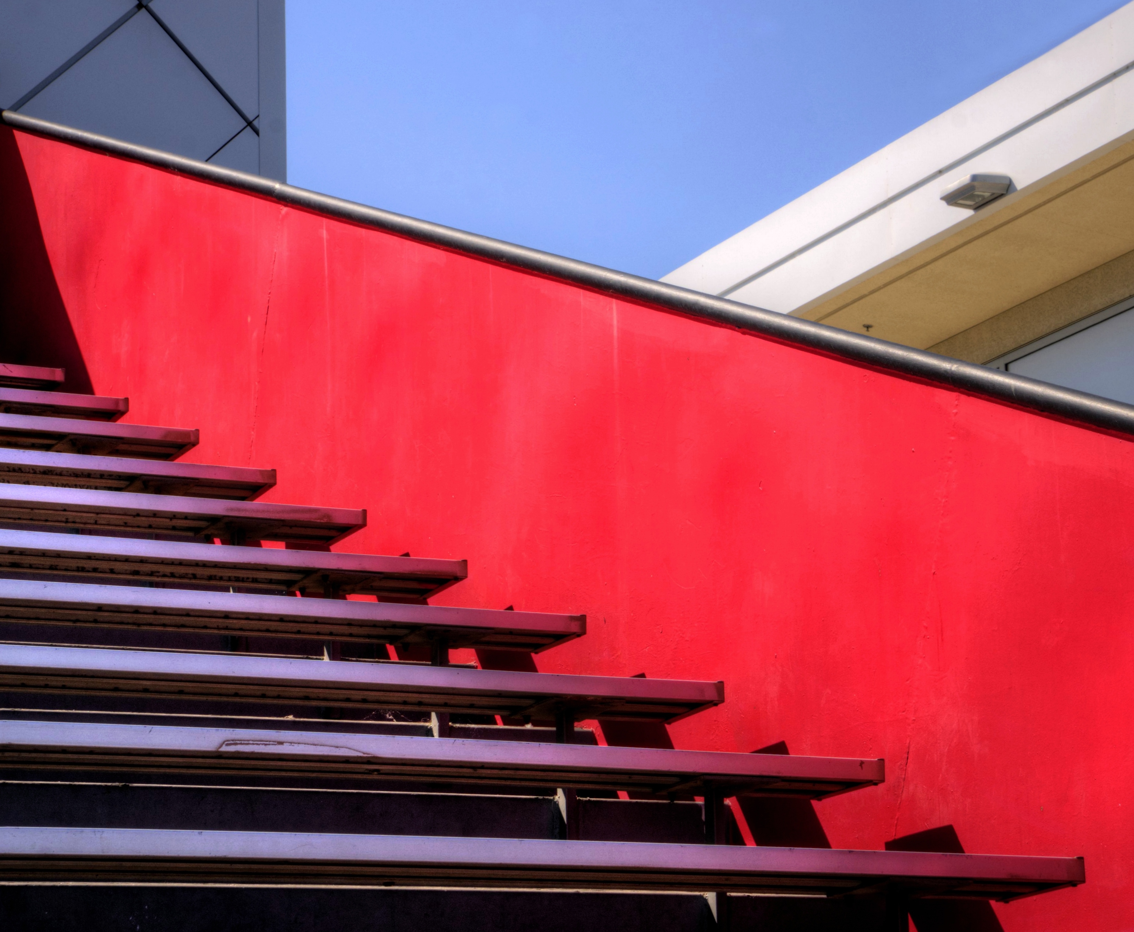
Empty seats at the stadium

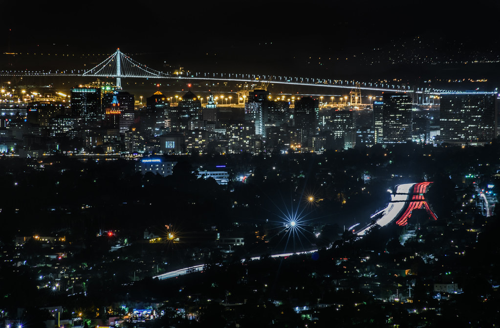
Night View of Tri-Valley

Old Salt Works
king estate stormy sky panorama

park and ride

Living Proof

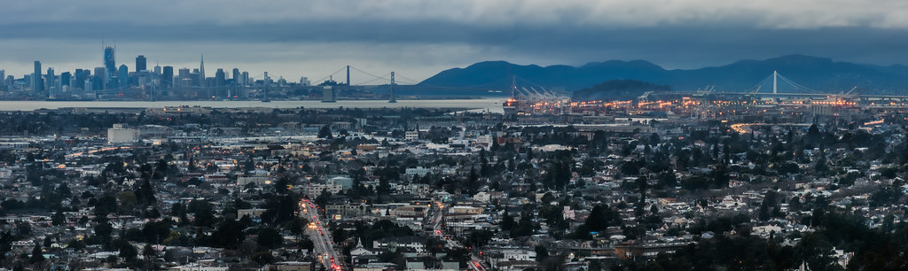
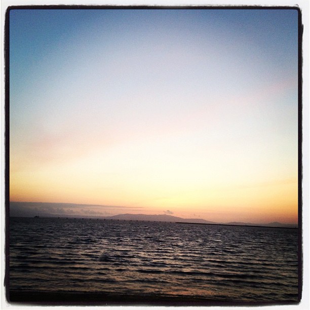
Alameda, San Leandro and OAK from Above, on a Moonlit Night
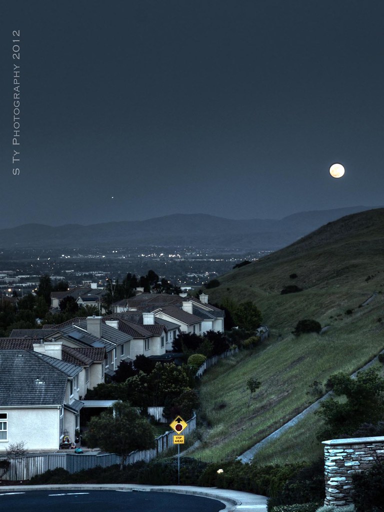
Serenity - Super Moon over Dublin 05-05-2012
Lake Chabot
rain and sun alternating
Lake Chabot
Lake Chabot
IMG_20170325_150349-PANO
Garin 20150227

Garin Regional Park
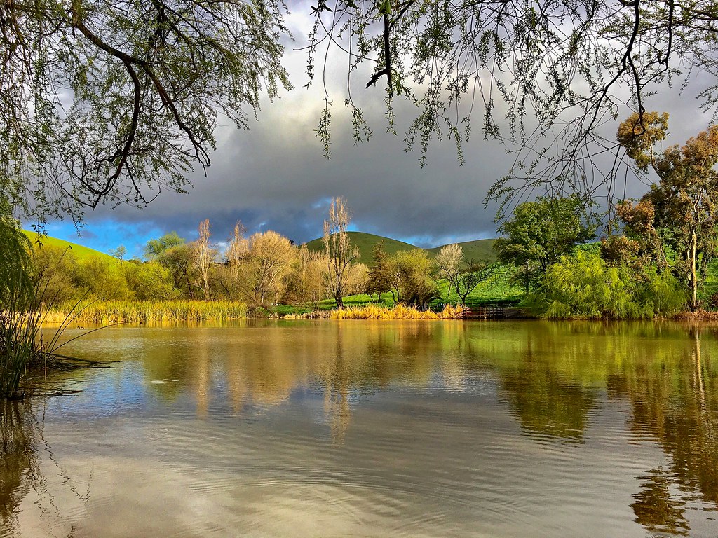
Goodbye Stormy Skies
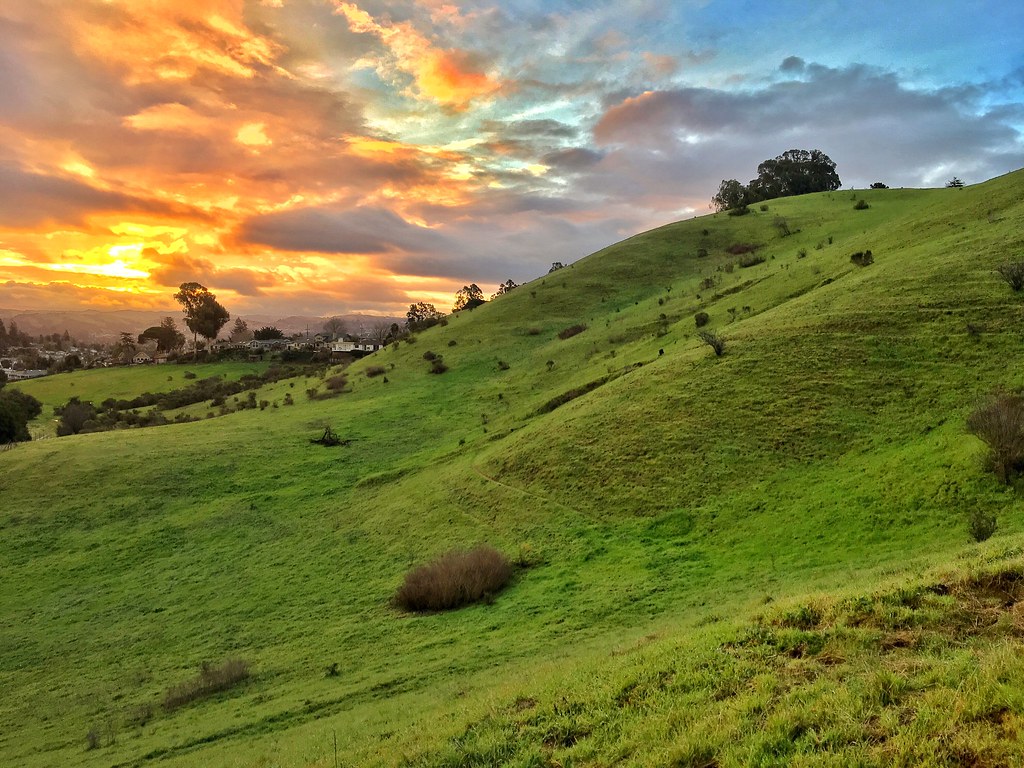
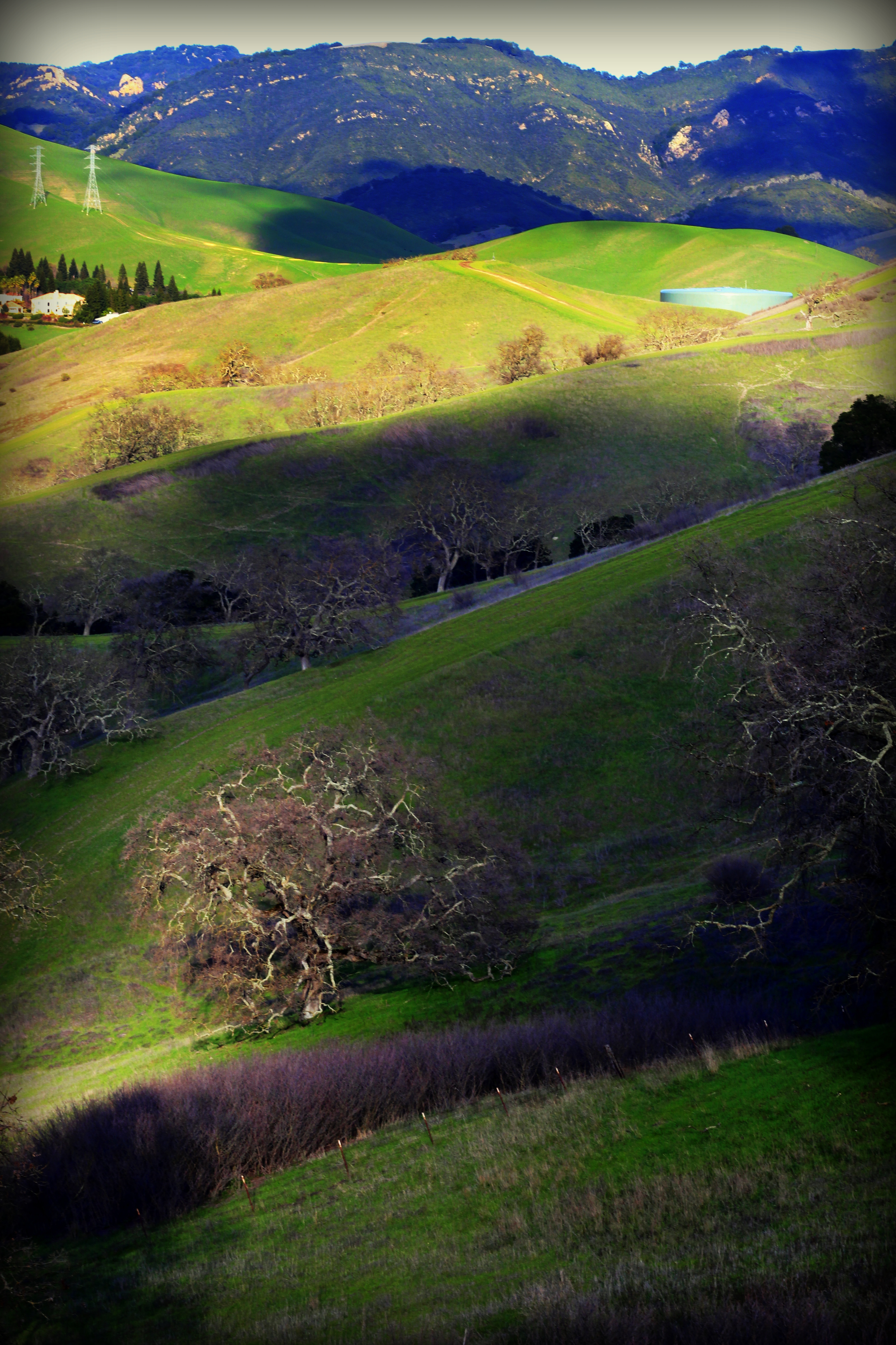
Something about these hills...remind me of Shrek.
endless e6
He was quietly brunching when I turned up right behind, glad he was so focus!
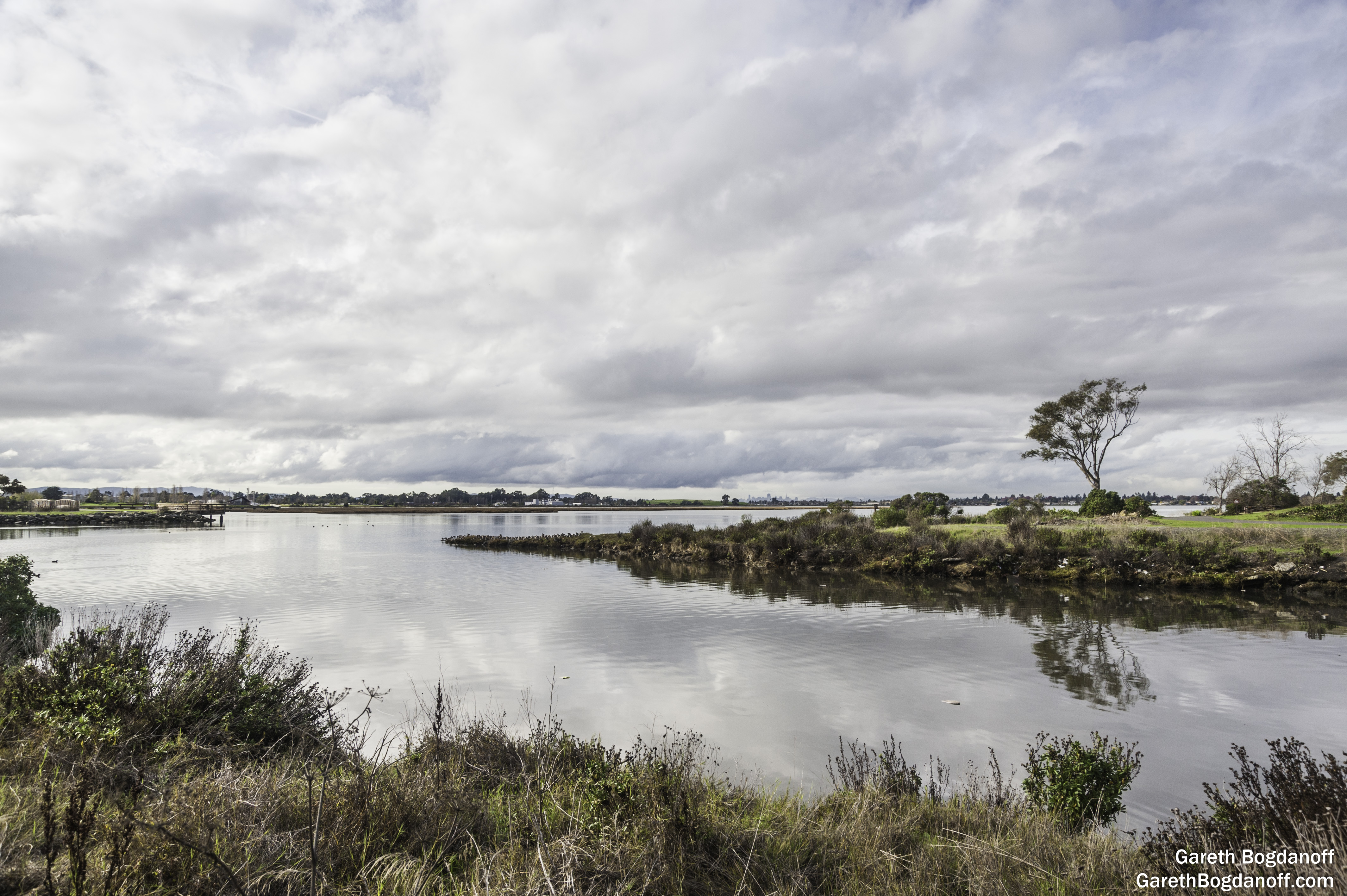
San Leandro Bay
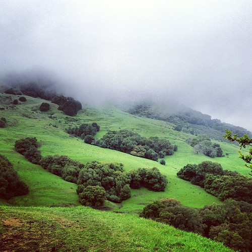
Th fog was rolling in quick!
Chabot Park

Las Trampas
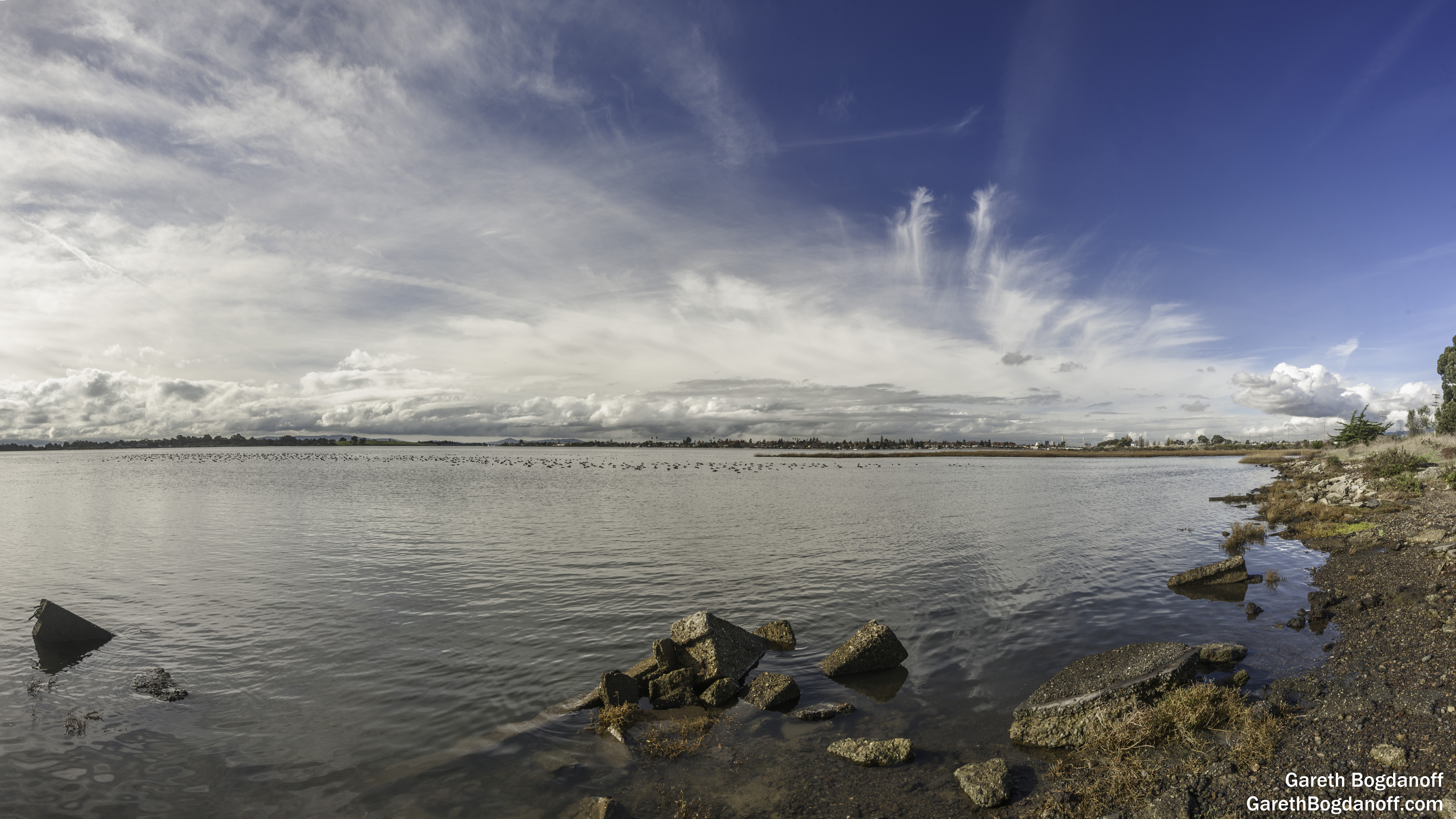
San Leandro Bay

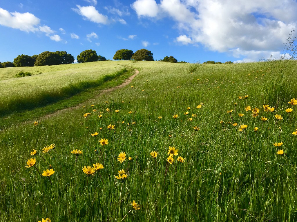
Trail to the Yellow Flowers
Sunday's winding down.
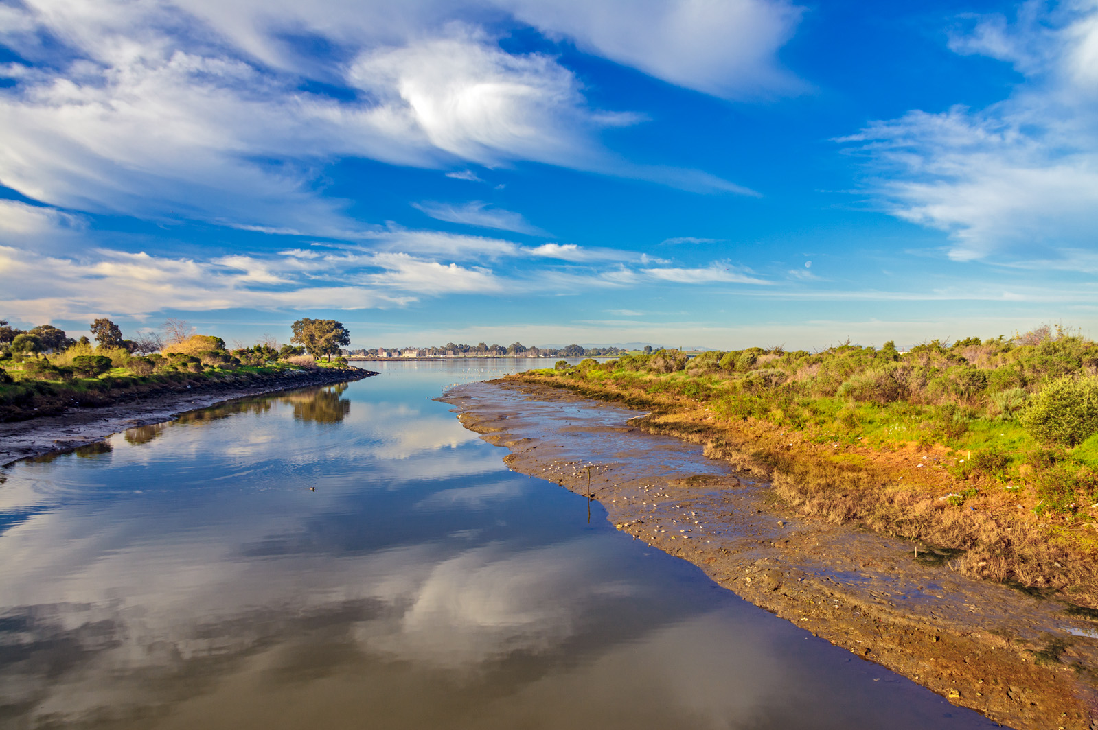
Damon Slough - Eastbay Regional Park District
Topographic Map of Bret Harte Ct, Castro Valley, CA, USA
Find elevation by address:

Places near Bret Harte Ct, Castro Valley, CA, USA:
6220 Mt Rushmore Cir
Mount Rushmore Circle
6033 Mt Olympus Dr
5874 Greenridge Rd
Jensen Road
5479 Greenridge Rd
21550 Pheasant Woods Dr
5793 Thousand Oaks Dr
17101 Columbia Dr
5578 Gold Creek Dr
4808 Shauna Ct
5005 Heyer Ave
25189 Valley Oak Dr
17712 Chateau Ct
19410 Center St
5870 Gold Creek Dr
19402 Center St
4526 Newhaven Way
Pinecrest Court
23119 Henry Ln
Recent Searches:
- Elevation of Crystal Cir, Birmingham, AL, USA
- Elevation of N Railroad Ave, West Palm Beach, FL, USA
- Elevation of 55 Cassick Valley Rd, Wellfleet, MA, USA
- Elevation of Ironwood Dr, Minden, NV, USA
- Elevation of 高尾山口駅, Takaomachi, Hachioji, Tokyo -, Japan
- Elevation of 15 Victory Ave, Greenville, SC, USA
- Elevation of Kota Ternate Utara, Ternate City, North Maluku, Indonesia
- Elevation of Allon St, Oceanside, NY, USA
- Elevation of Carroll Creek Rd, Custer, SD, USA
- Elevation of Lust Road, Lust Rd, Florida, USA