Elevation of Brasstown Drive, Brasstown Dr, Blanco, TX, USA
Location: United States > Texas > Blanco County > Blanco >
Longitude: -98.336197
Latitude: 30.0460702
Elevation: 402m / 1319feet
Barometric Pressure: 97KPa
Elevation Map:
Satellite Map:
Related Photos:

Tower of the Americas at HemisFair '68 - San Antonio, Texas
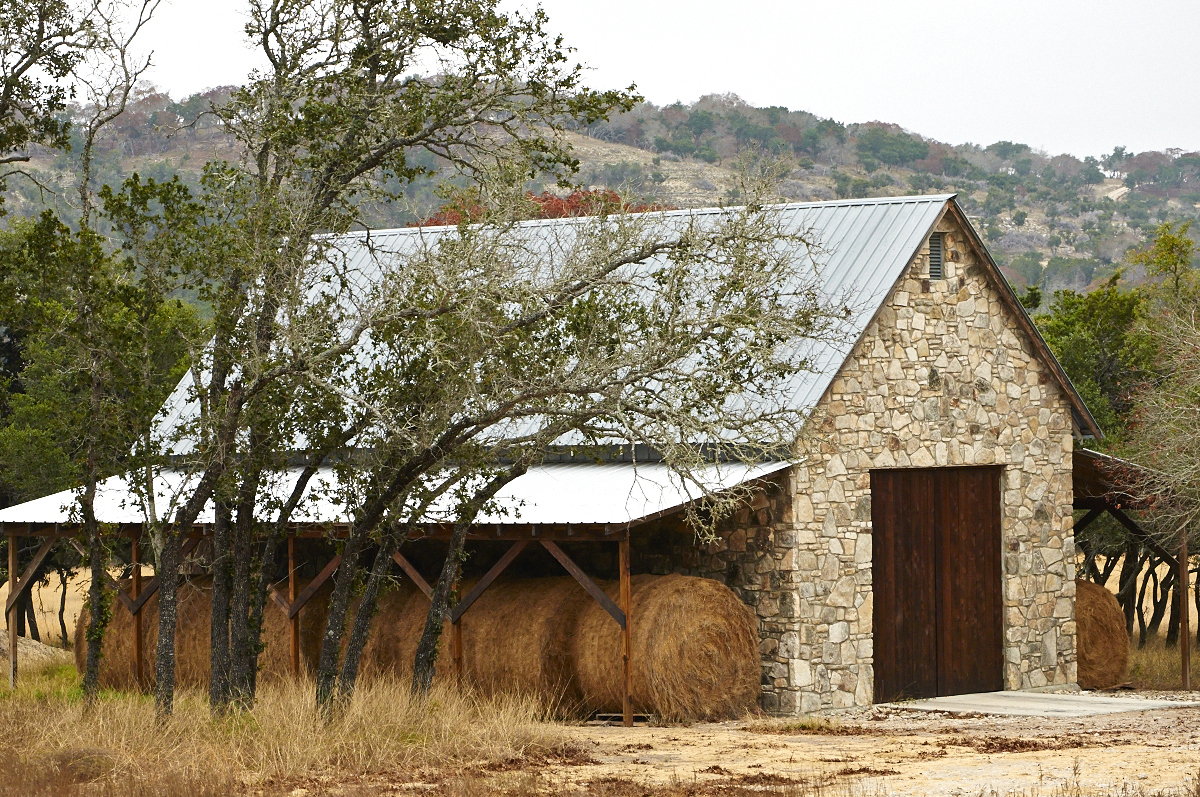
Got Hay?

Texas Hill Country Vista

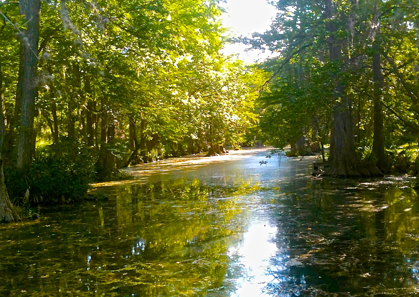
Up a Creek
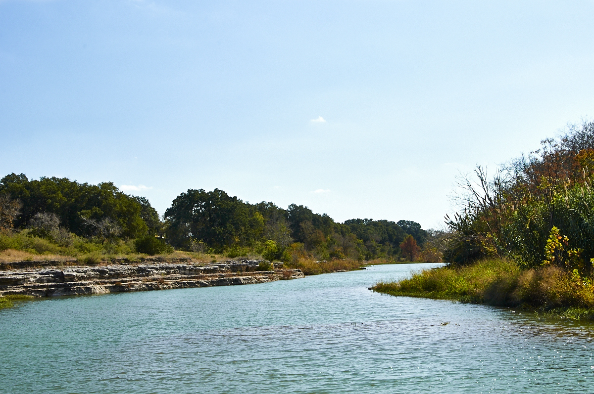
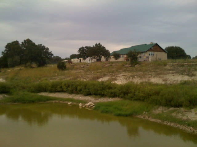
Blanco River

Double H

Rust in Peace
I visited an alien planet.
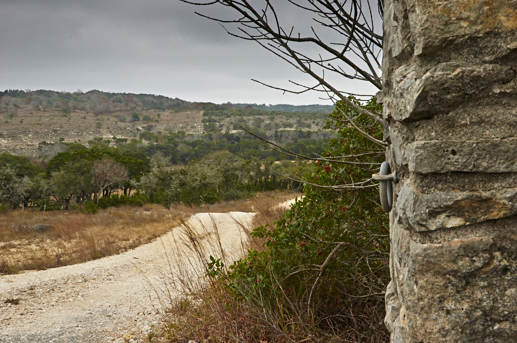
Gate Ring

Spring comes to the Texas Hill Country
Limestone Creek
Fischer Texas
Sheds in a shed
Don't Go There!
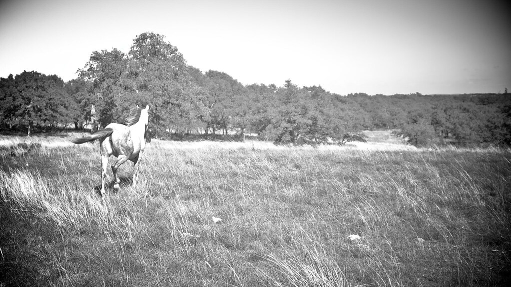
Hi Ho Silver, and Away!
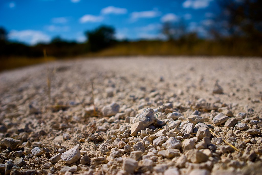
Chirt.
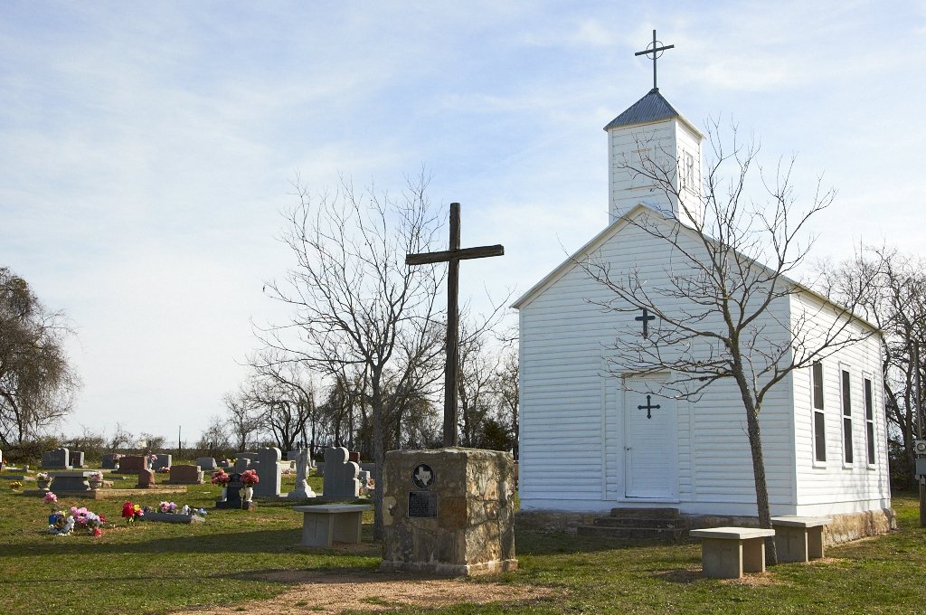
St. Mary's Chapel & Cemetery
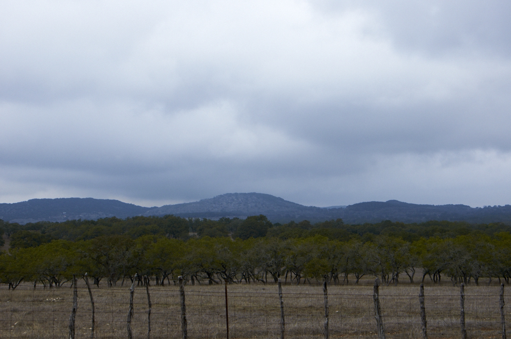
Storm Clouds over the Hill Country
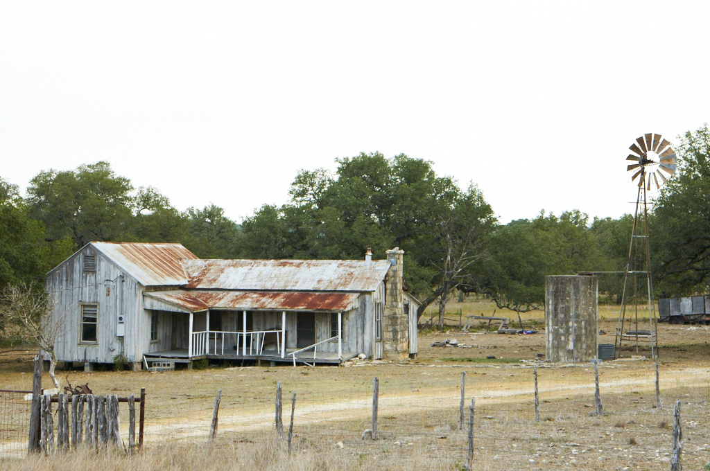
Hill Country Fixer Upper
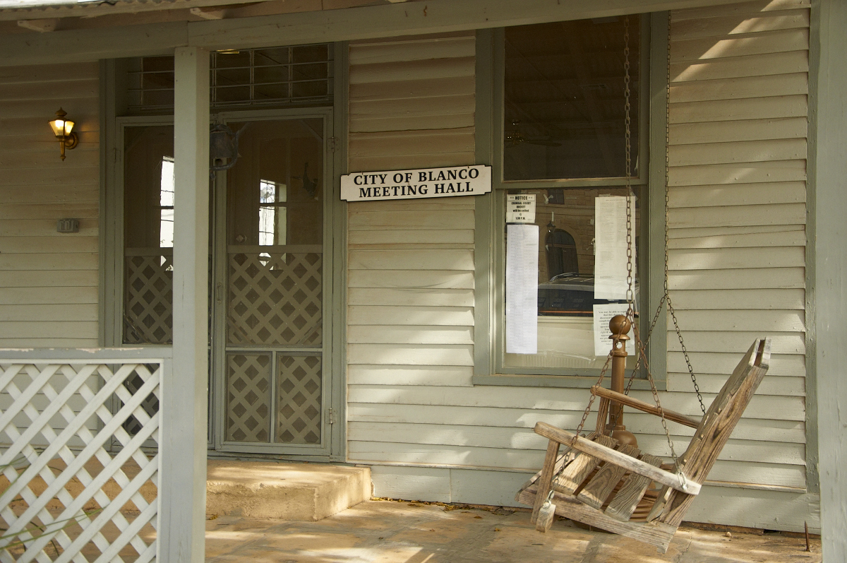
Meeting Hall

View above
Rebecca Creek
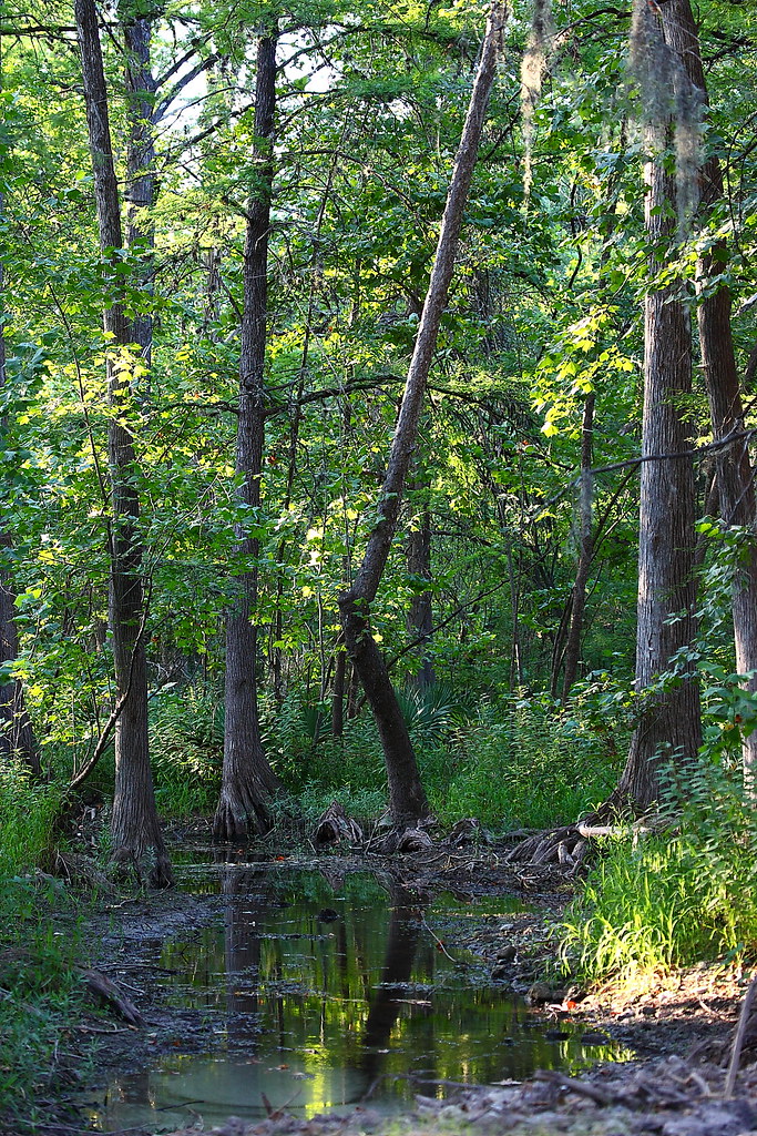
The Shaded Creek

#goldenbirthday

Autumn along the Blanco

Better Than Bluebonnets For Lack Of People
Flugrath, Sep 15, 2008
Texas!
Crossing the Little Blanco river

Beginning of Narrows
Spring Garden Wimberley Texas Hill Country PAA7P4

Catching the Sun

The Narrows

The road to Auntie Bill's

At the first bend in the Narrows
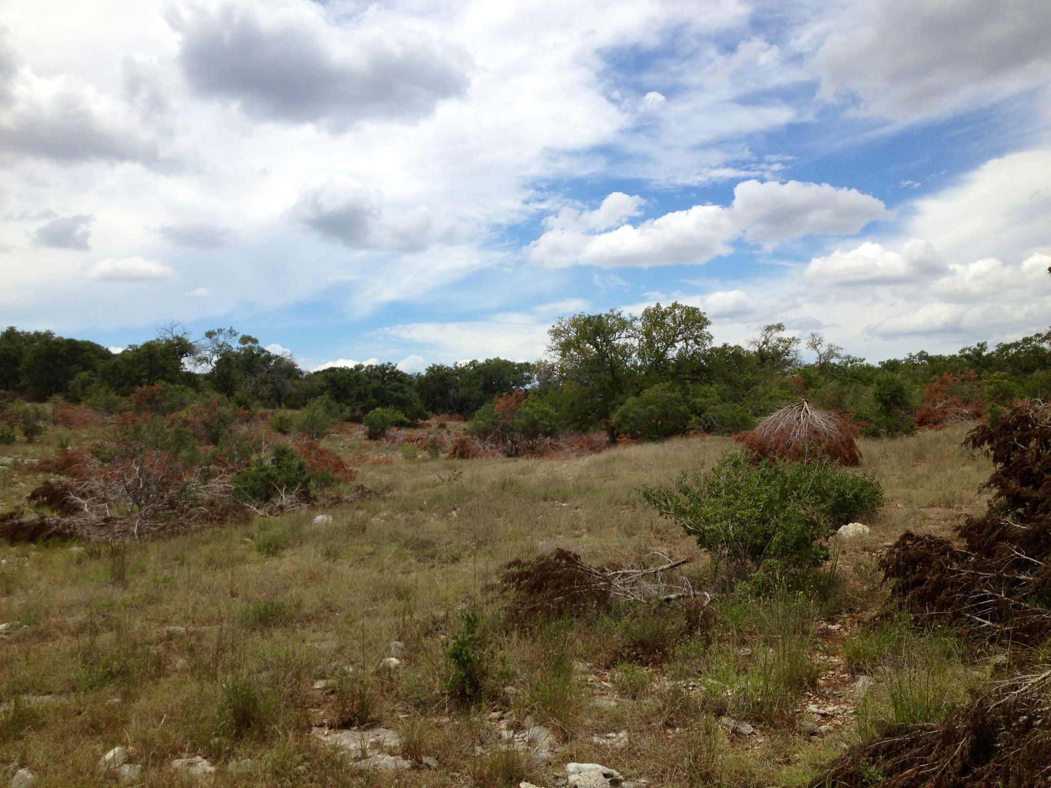
Rust III Family Ranch Blanco, TX Family has chainsawed 287 acres of cedar this past 12 months. Photo courtesy Lacey Moraign.

Blanco River through the Narrows

Dirty Balls
Topographic Map of Brasstown Drive, Brasstown Dr, Blanco, TX, USA
Find elevation by address:

Places near Brasstown Drive, Brasstown Dr, Blanco, TX, USA:
481 Rust Ranch Rd
2575 Logans Way
Otto Lange
Otto Lange
2057 Wegener Trail
577 Canyon Rock
713 Wegener Trail
341 Bosque Ridge
Dodder Lane
657 Primrose Path
417 Eagle Ln
765 Astral Point
127 Primrose Path
1651 Primrose Path
Fischer
1604 Rimrock Cove
5750 Tanglewood Trail
158 Stallion Estates
158 Stallion Estates
2221 Cascada Pkwy
Recent Searches:
- Elevation of Felindre, Swansea SA5 7LU, UK
- Elevation of Leyte Industrial Development Estate, Isabel, Leyte, Philippines
- Elevation of W Granada St, Tampa, FL, USA
- Elevation of Pykes Down, Ivybridge PL21 0BY, UK
- Elevation of Jalan Senandin, Lutong, Miri, Sarawak, Malaysia
- Elevation of Bilohirs'k
- Elevation of 30 Oak Lawn Dr, Barkhamsted, CT, USA
- Elevation of Luther Road, Luther Rd, Auburn, CA, USA
- Elevation of Unnamed Road, Respublika Severnaya Osetiya — Alaniya, Russia
- Elevation of Verkhny Fiagdon, North Ossetia–Alania Republic, Russia