Elevation of Brandberget, 92 Sollefteå, Sweden
Location: Sweden > Västernorrland County > Brandberget >
Longitude: 17.5449391
Latitude: 63.2751553
Elevation: 108m / 354feet
Barometric Pressure: 100KPa
Elevation Map:
Satellite Map:
Related Photos:

Arvid jönson
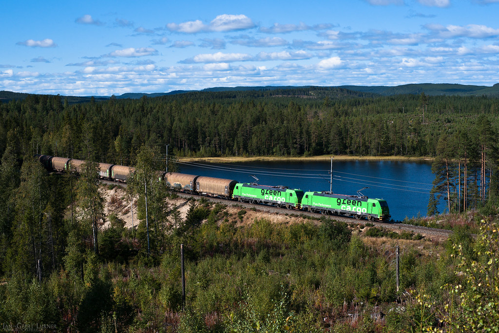
SE - Aspeå - Re 1435, Re 1436

Båb

Gustav thors

Natalie och Agnes

Natalie persson

Old military area

Charmigt hus i Ångermanland

På väg hen från red.ledning

På väg hem från redaktionsledning i Sollefteå
Topographic Map of Brandberget, 92 Sollefteå, Sweden
Find elevation by address:

Places near Brandberget, 92 Sollefteå, Sweden:
Brandberget
Para
Undrom
Kalknäs, 95 Undrom, Sweden
Kalknäs
OFFERSJÖN, 95 Undrom, Sweden
Sollefteå
Storgatan 77, 52 Nyland, Sweden
Nyland
Väja
Dynäs
Forsmo
Sollefteå S
Edlingsgatan
Kramfors N
Kramfors
Kramfors
Ingevägen 28
Ingevägen
Gumåsviken
Recent Searches:
- Elevation of Pinewood Dr, New Bern, NC, USA
- Elevation of Mountain View, CA, USA
- Elevation of Foligno, Province of Perugia, Italy
- Elevation of Blauwestad, Netherlands
- Elevation of Bella Terra Blvd, Estero, FL, USA
- Elevation of Estates Loop, Priest River, ID, USA
- Elevation of Woodland Oak Pl, Thousand Oaks, CA, USA
- Elevation of Brownsdale Rd, Renfrew, PA, USA
- Elevation of Corcoran Ln, Suffolk, VA, USA
- Elevation of Mamala II, Sariaya, Quezon, Philippines