Elevation of Branch Township, PA, USA
Location: United States > Pennsylvania > Schuylkill County >
Longitude: -76.259498
Latitude: 40.6672654
Elevation: 243m / 797feet
Barometric Pressure: 98KPa
Elevation Map:
Satellite Map:
Related Photos:

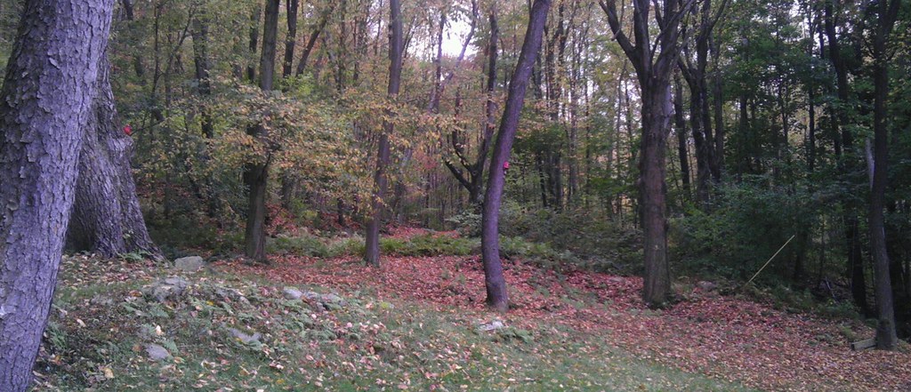
Late Autumn

.
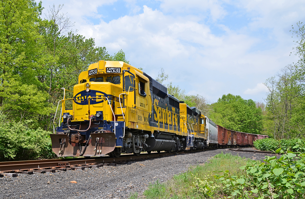
R&N GP39R-2531, 2430 N/B QAMC at Gordon, PA.

R&N GP39R-2531, 2430 N/B QAMC at Gordon, PA.
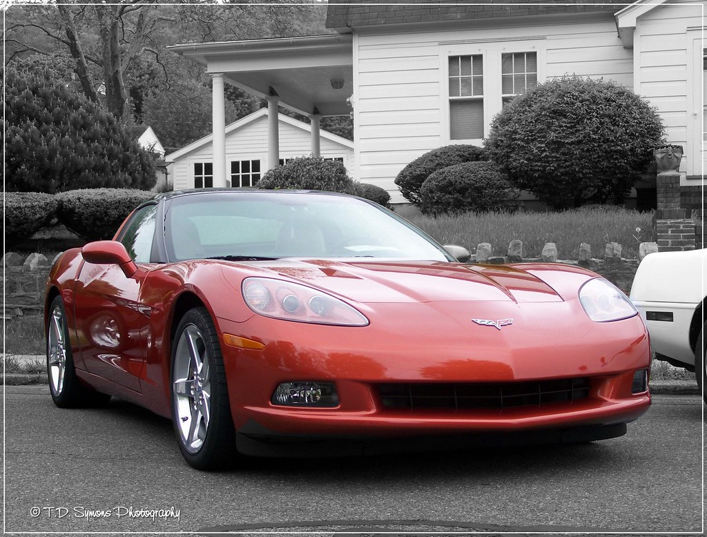
Buddy's 'Vette
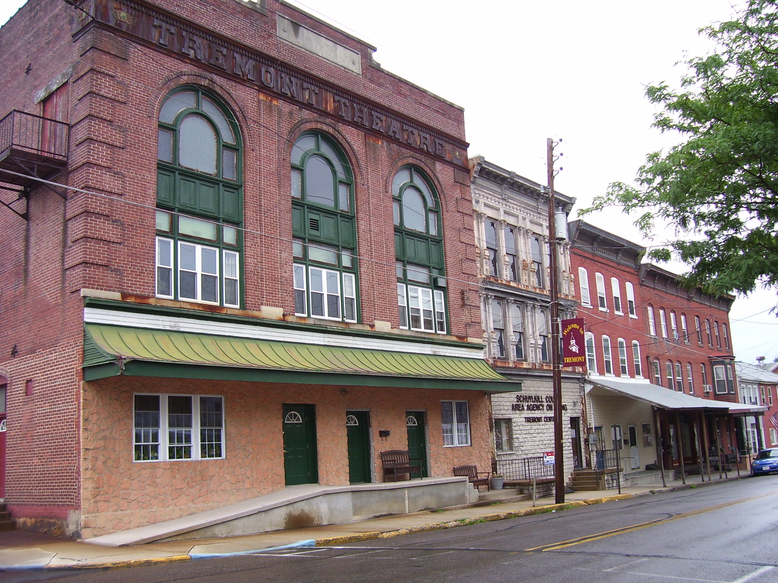
Old Retail District Row
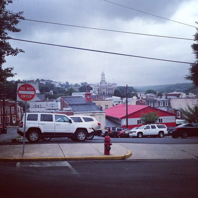
View across downtown Pottsville, believe the large building is the schukill (sp) county courthouse

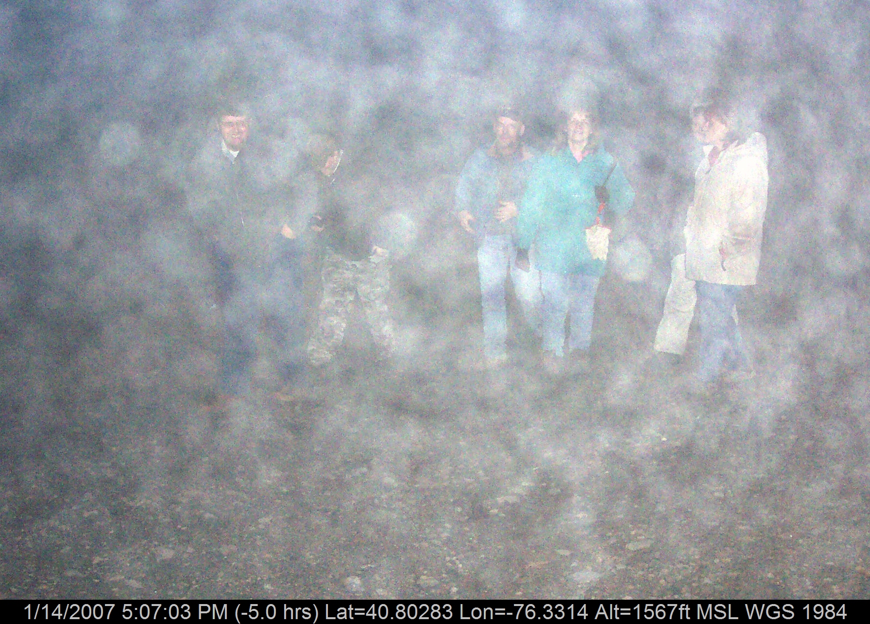
Centralia Group in the Smoke
Another view of the sunken road side
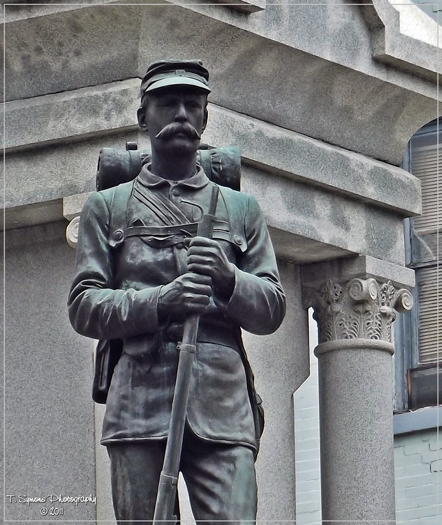
At Ease
The way out
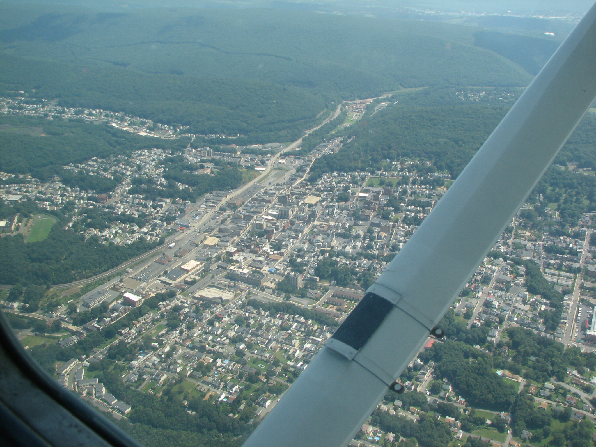
Pottsville, Pa
Tremont Fire Co.
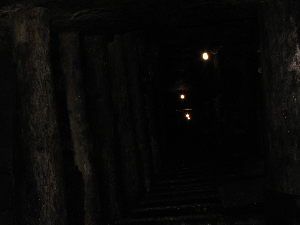
Pioneer Tunnel Coal Mine & Steam Train-066

Tremont Town Block
Pioneer Tunnel Coal Mine & Steam Train-063
Another view of one of the sunken section
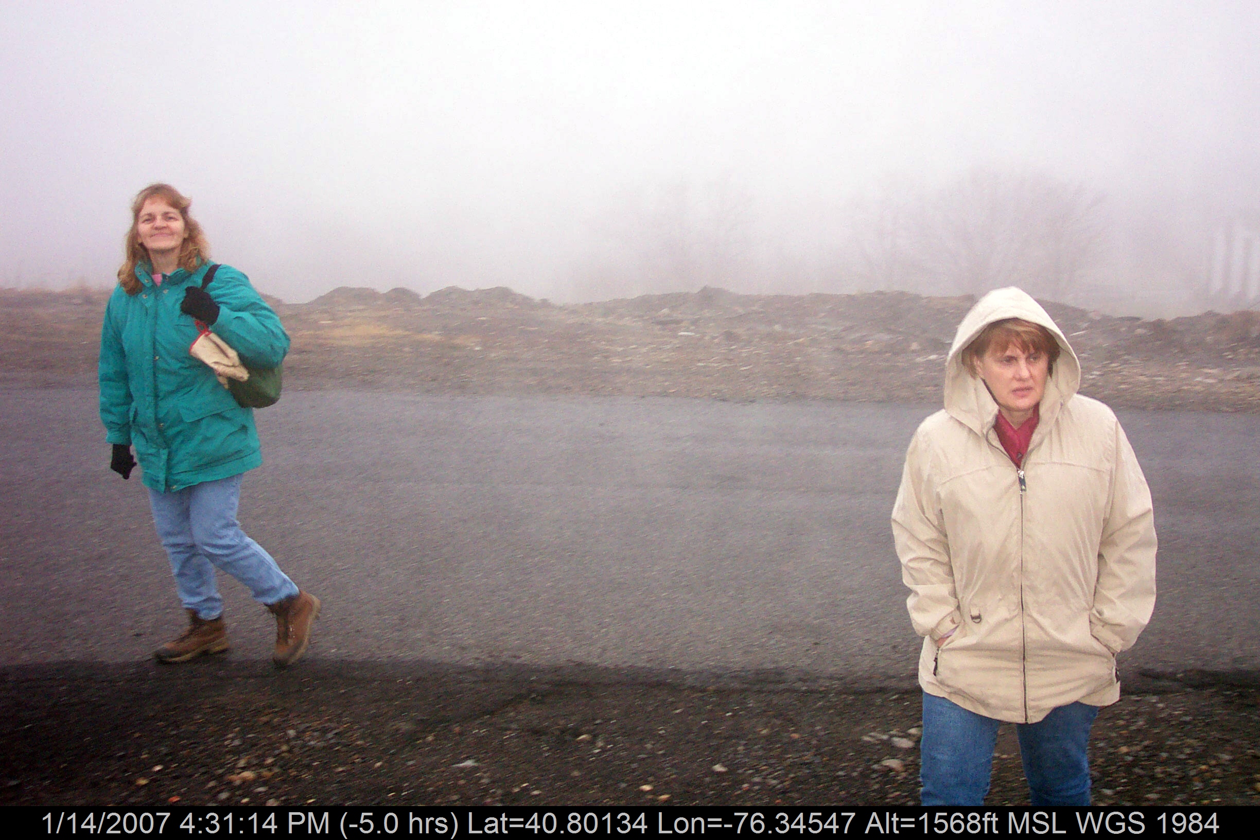
Mrs. D and Mrs. P In Centralia
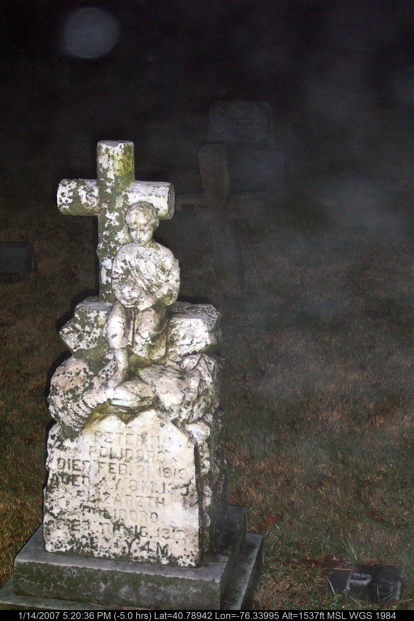
Tombstone In Centralia
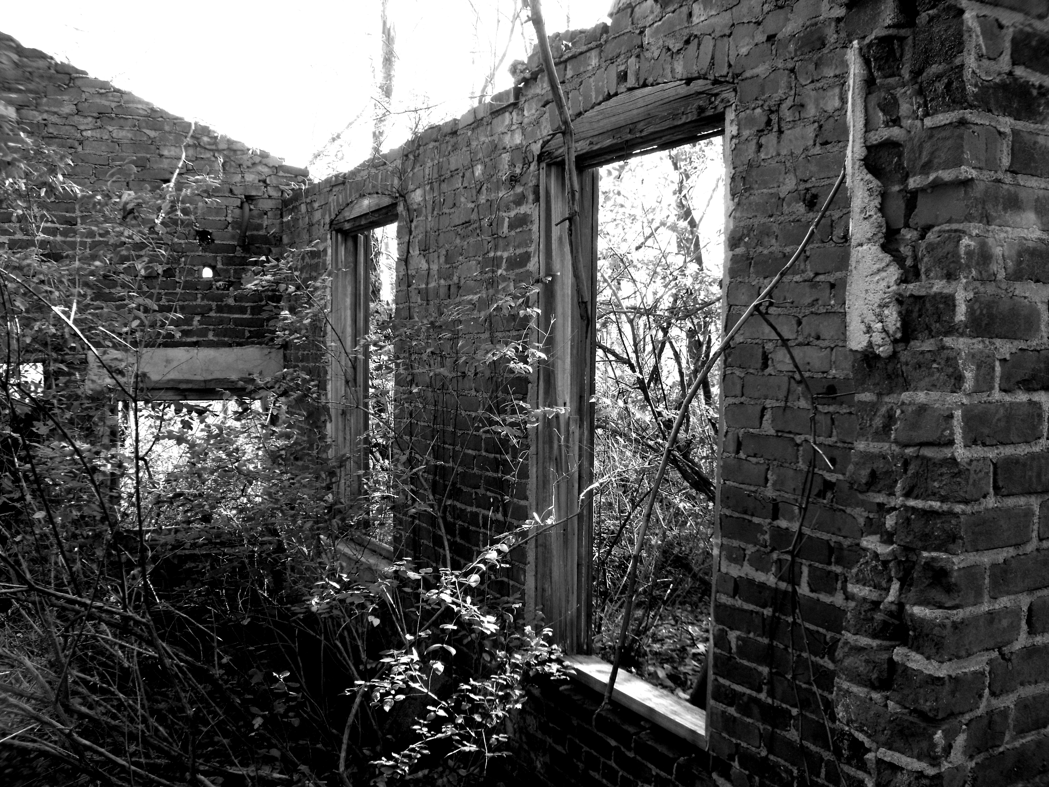
Byrnesville area coal mine remains
Lots of smoke!
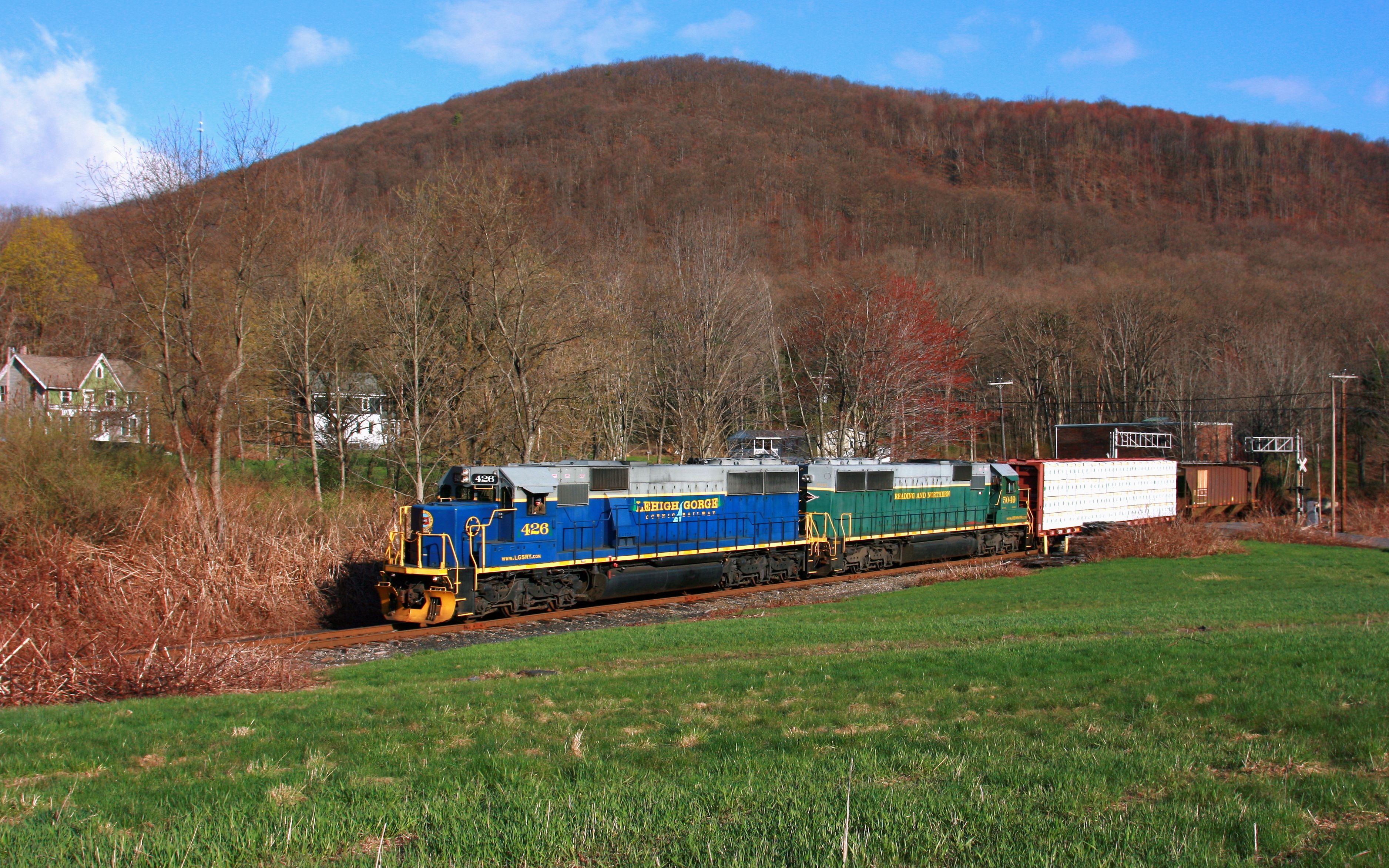
LGSR 426, NB, ASHLAND, PA 4-24-15

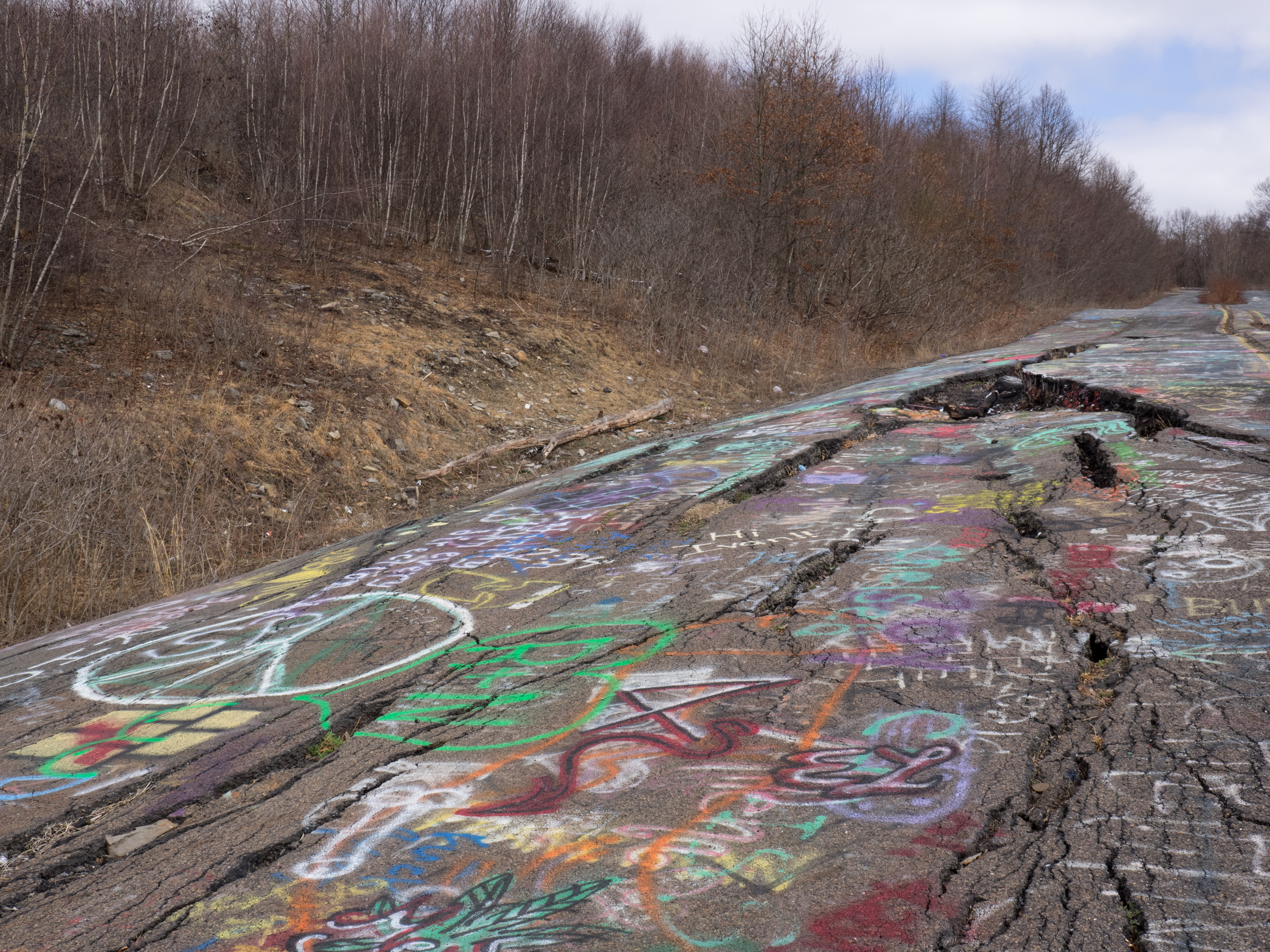
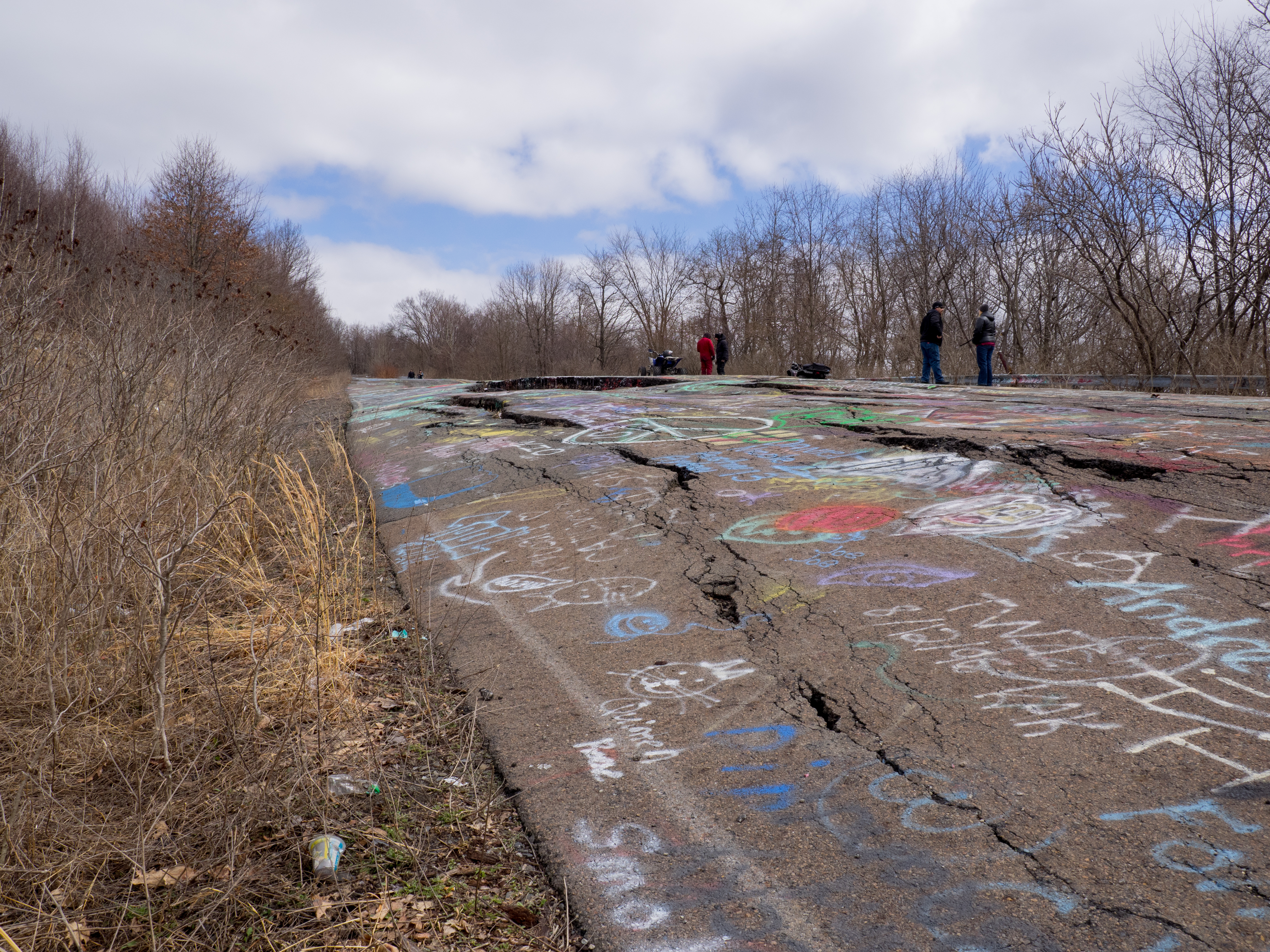
On Crack
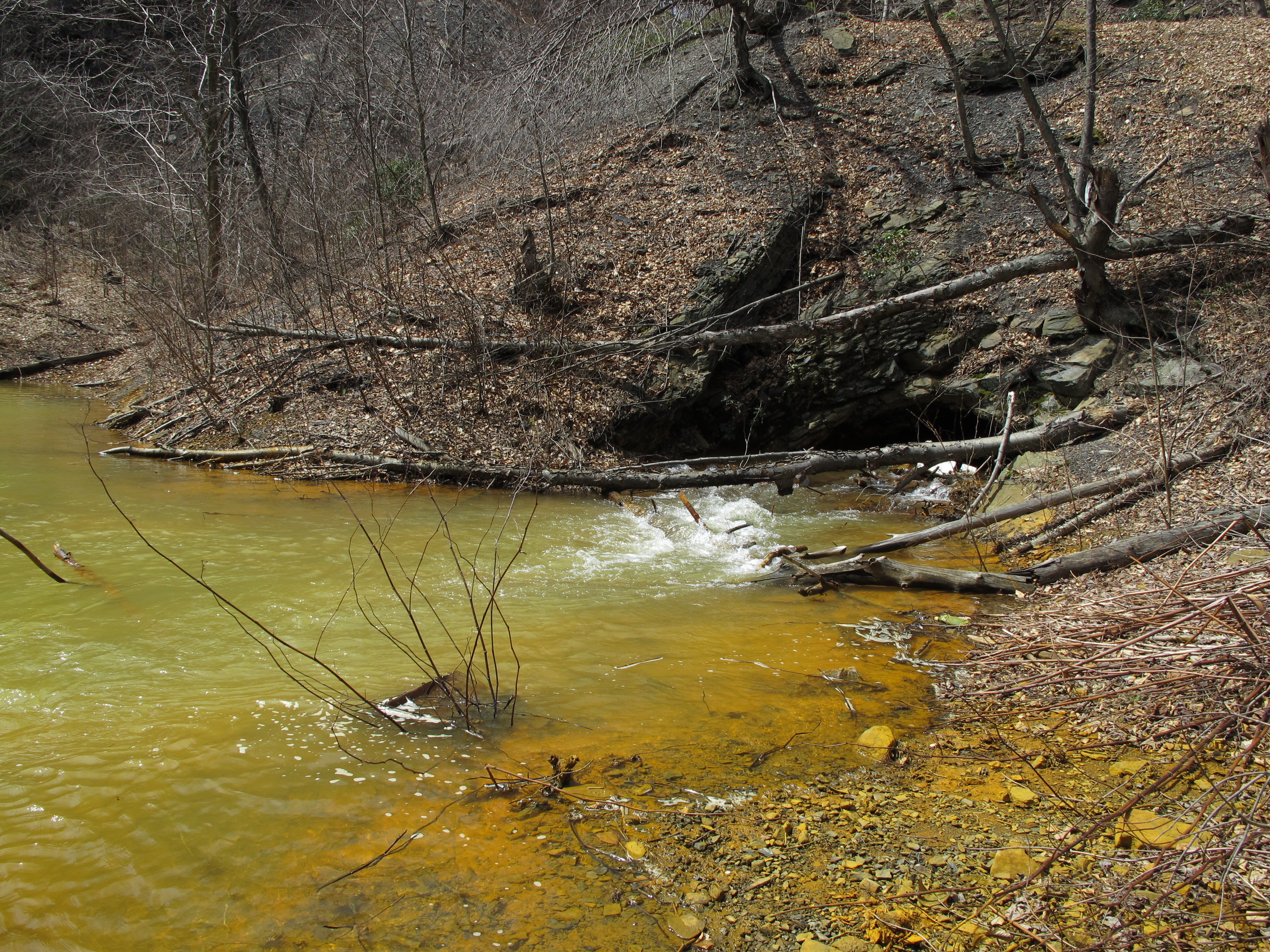
Wolf Creek ~ Explore, thank you!

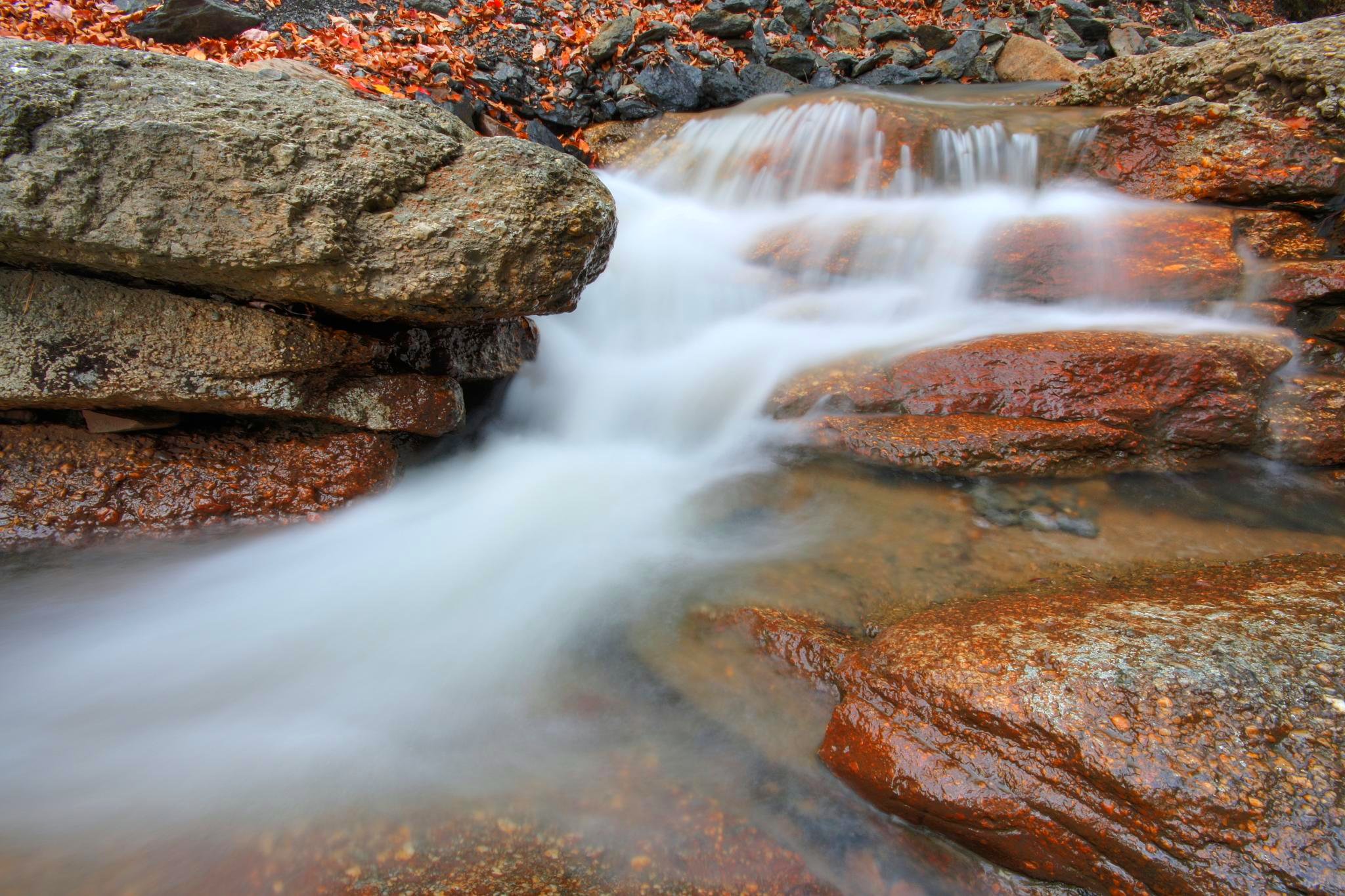
Run On Gold
Ushering In The Weekend

Ice_Cliff_020912-1.jpg
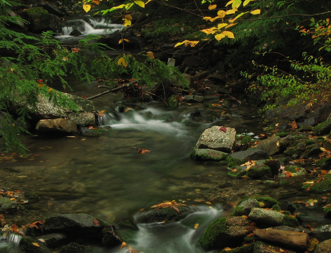
Swatara Falls
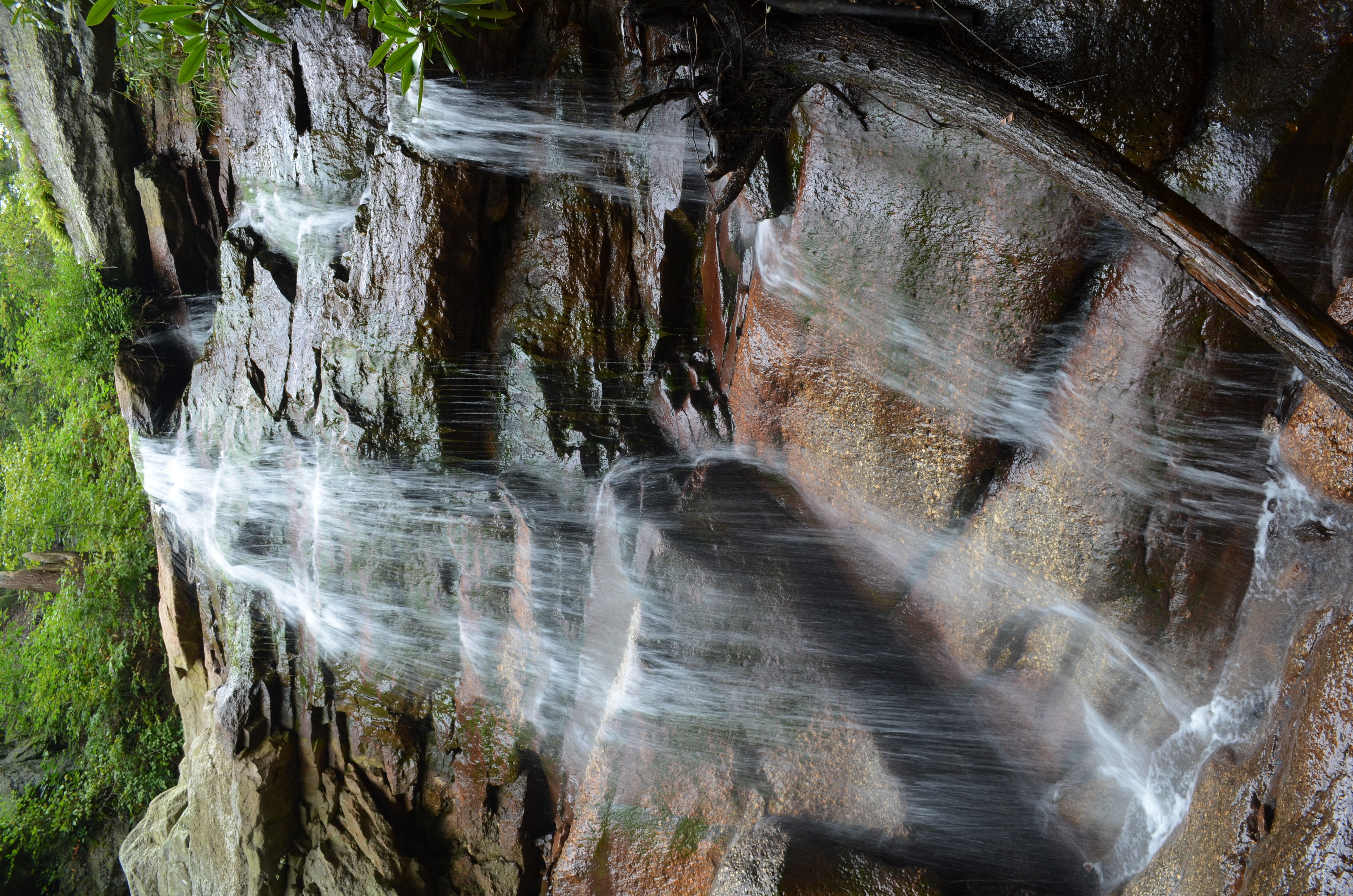
Swatara Falls
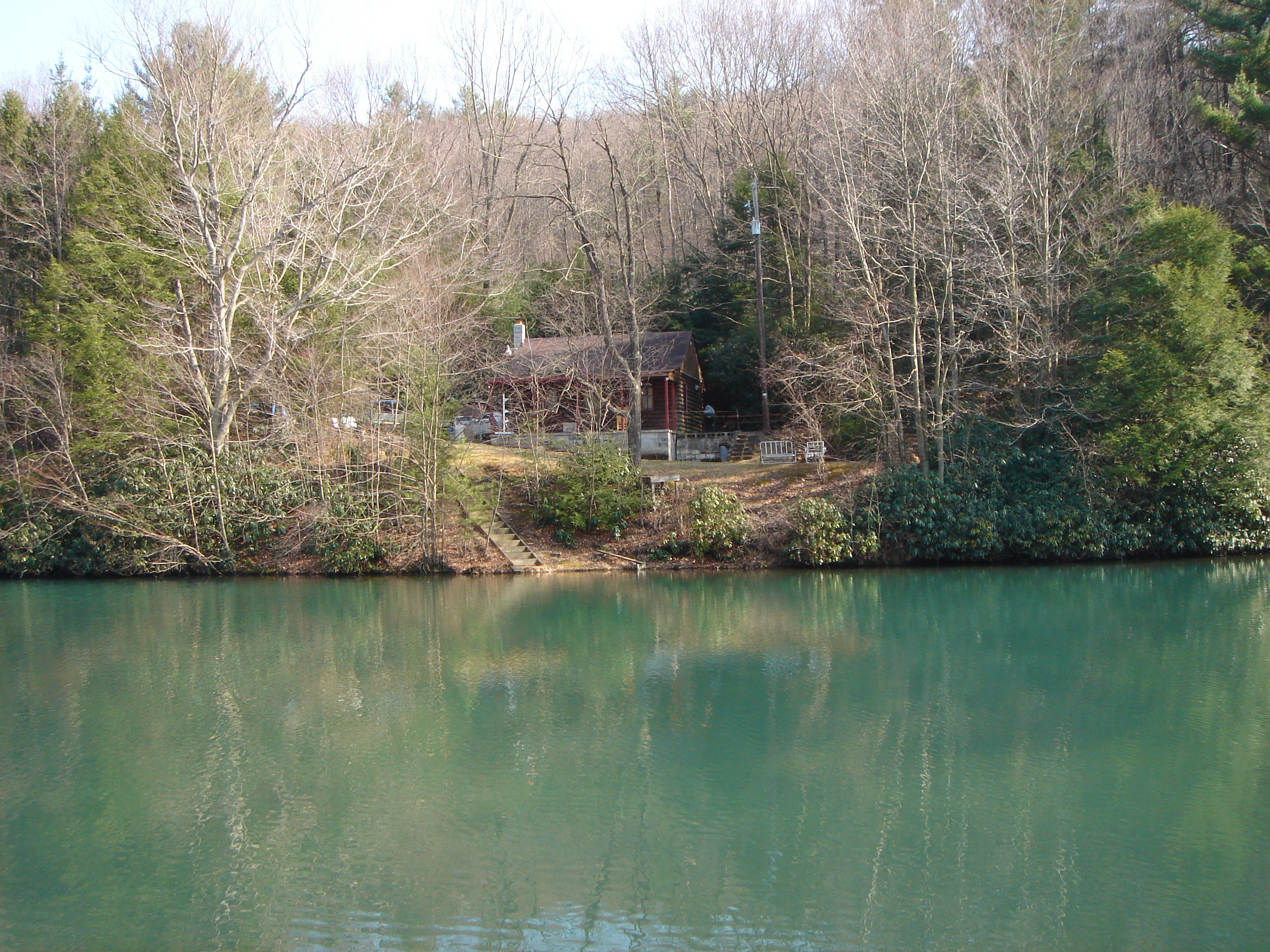
Cumbola Cabin
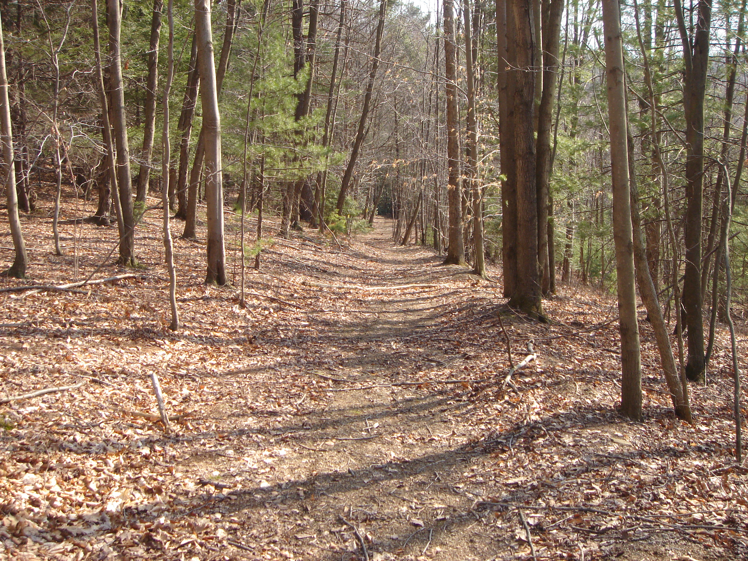
Cumbola Fire Trail

Ice_Cliff_020912-25.jpg

White Cone Flower II
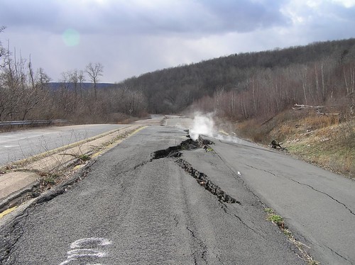
Centralia - Road Less Traveled II
the woods
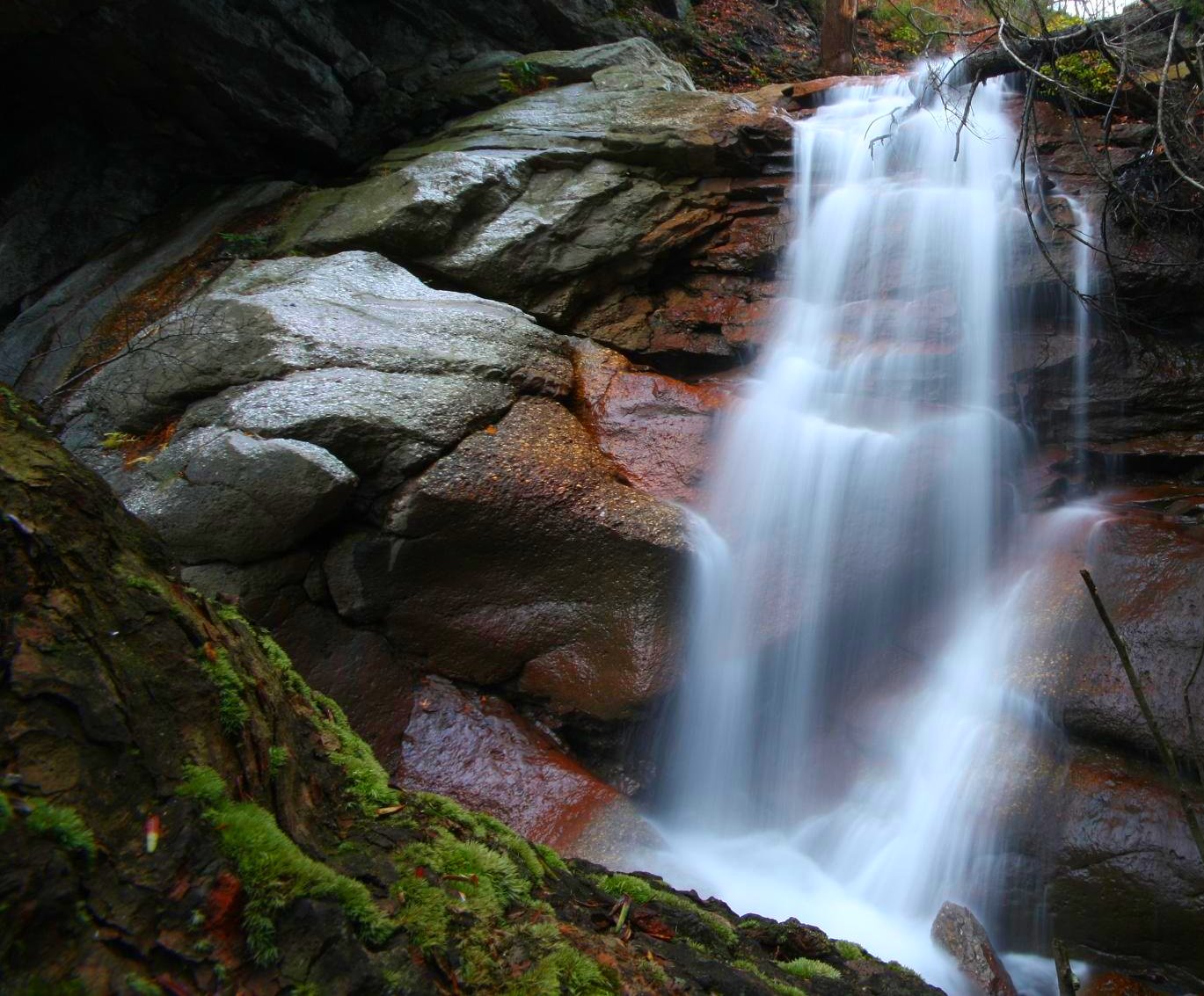
Swatara Falls

Swatara Falls
Centralia Pennsylvania Coal Fire 2010 Mine Portal

the quiet neighborhood
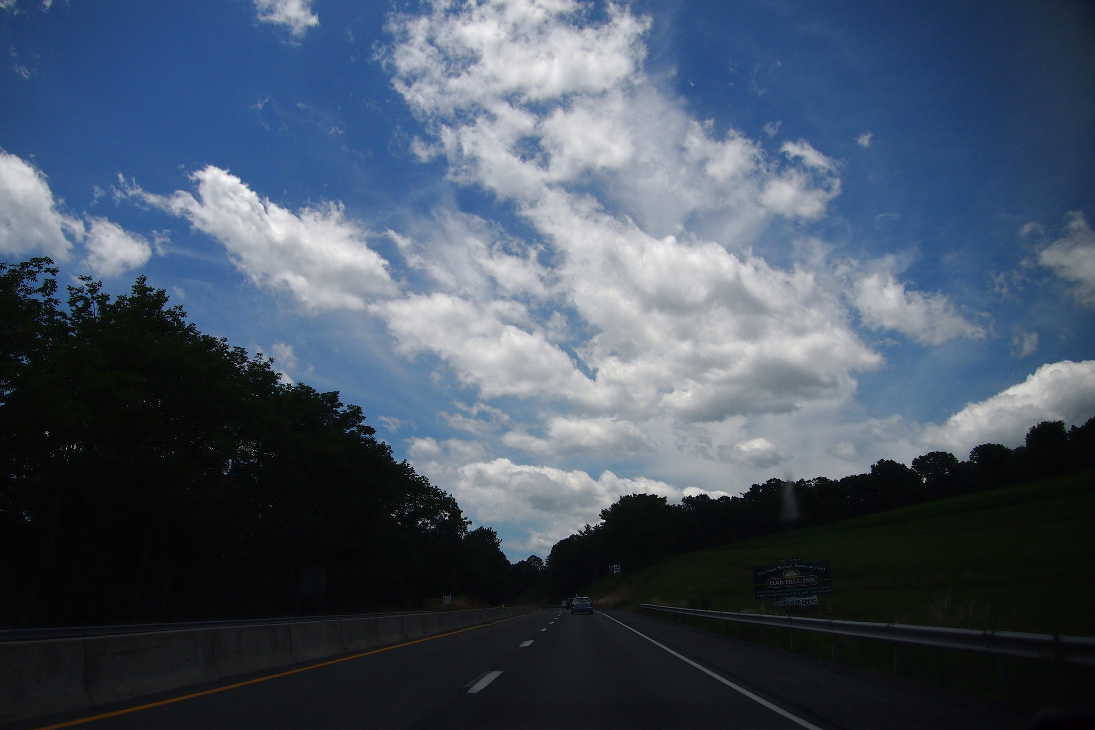
062712o-Driving in PA (4)
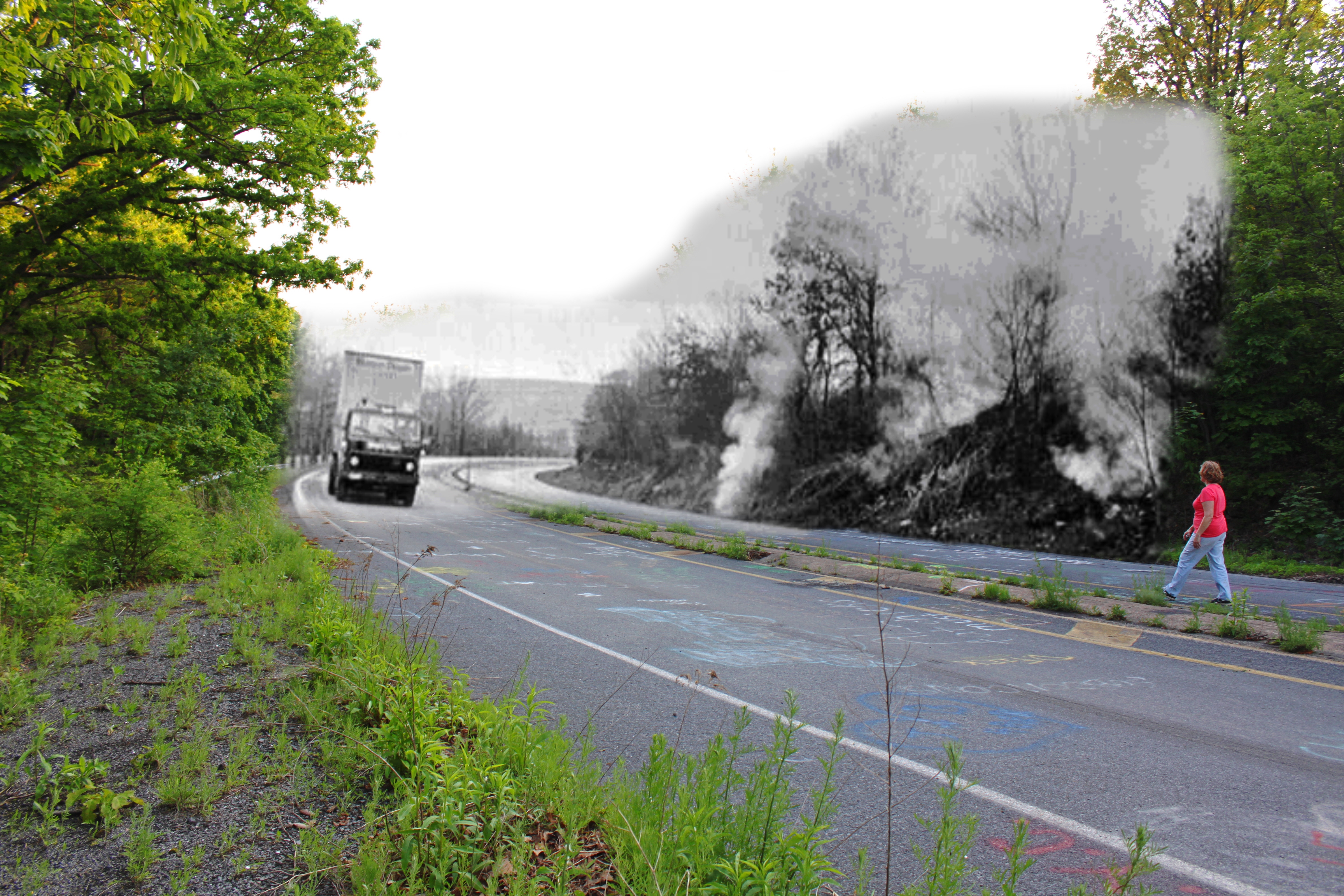
Centralia: Into The Past - Old Highway 61
Topographic Map of Branch Township, PA, USA
Find elevation by address:

Places in Branch Township, PA, USA:
Places near Branch Township, PA, USA:
1370 Us-209
319 Lytle St
Minersville, PA, USA
Minersville
558 Sunbury St
Mahantongo St, Pottsville, PA, USA
Yorkville
Yorkville
Yorkville
224 Minersville St
160 Red Horse Rd
16 E Elk Ln
Seltzer
171 Red Horse Rd
Norwegian Township
Cass Township
1429 Mt Hope Ave
South P C A Road
741 Schuylkill Ave
24 Woodlawn Dr
Recent Searches:
- Elevation of Corso Fratelli Cairoli, 35, Macerata MC, Italy
- Elevation of Tallevast Rd, Sarasota, FL, USA
- Elevation of 4th St E, Sonoma, CA, USA
- Elevation of Black Hollow Rd, Pennsdale, PA, USA
- Elevation of Oakland Ave, Williamsport, PA, USA
- Elevation of Pedrógão Grande, Portugal
- Elevation of Klee Dr, Martinsburg, WV, USA
- Elevation of Via Roma, Pieranica CR, Italy
- Elevation of Tavkvetili Mountain, Georgia
- Elevation of Hartfords Bluff Cir, Mt Pleasant, SC, USA