Elevation of Branch Dr, Custer, SD, USA
Location: United States > South Dakota > Custer >
Longitude: -103.80862
Latitude: 43.6652724
Elevation: 1623m / 5325feet
Barometric Pressure: 83KPa
Elevation Map:
Satellite Map:
Related Photos:

Hell Canyon

ant's eye view

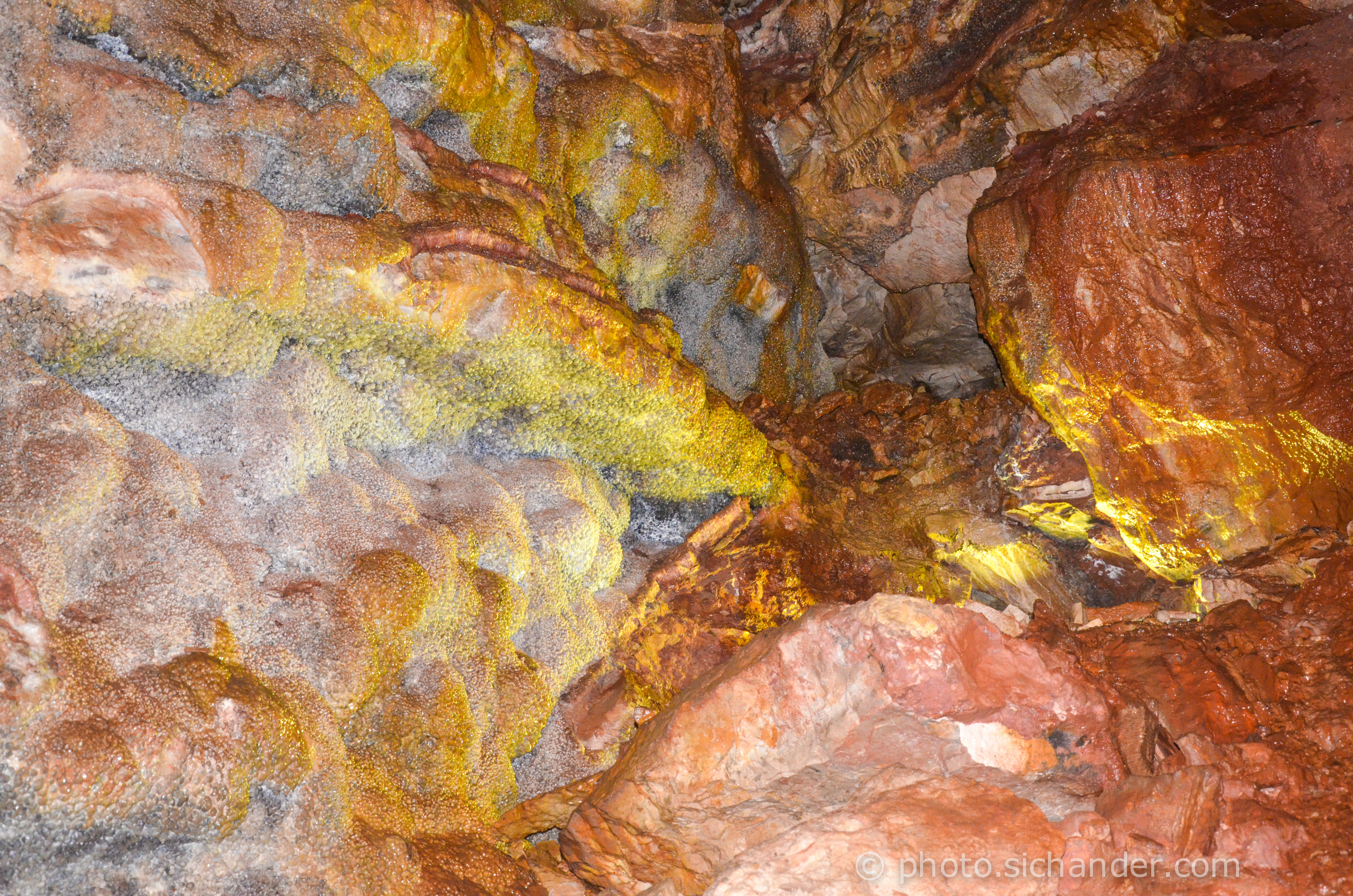
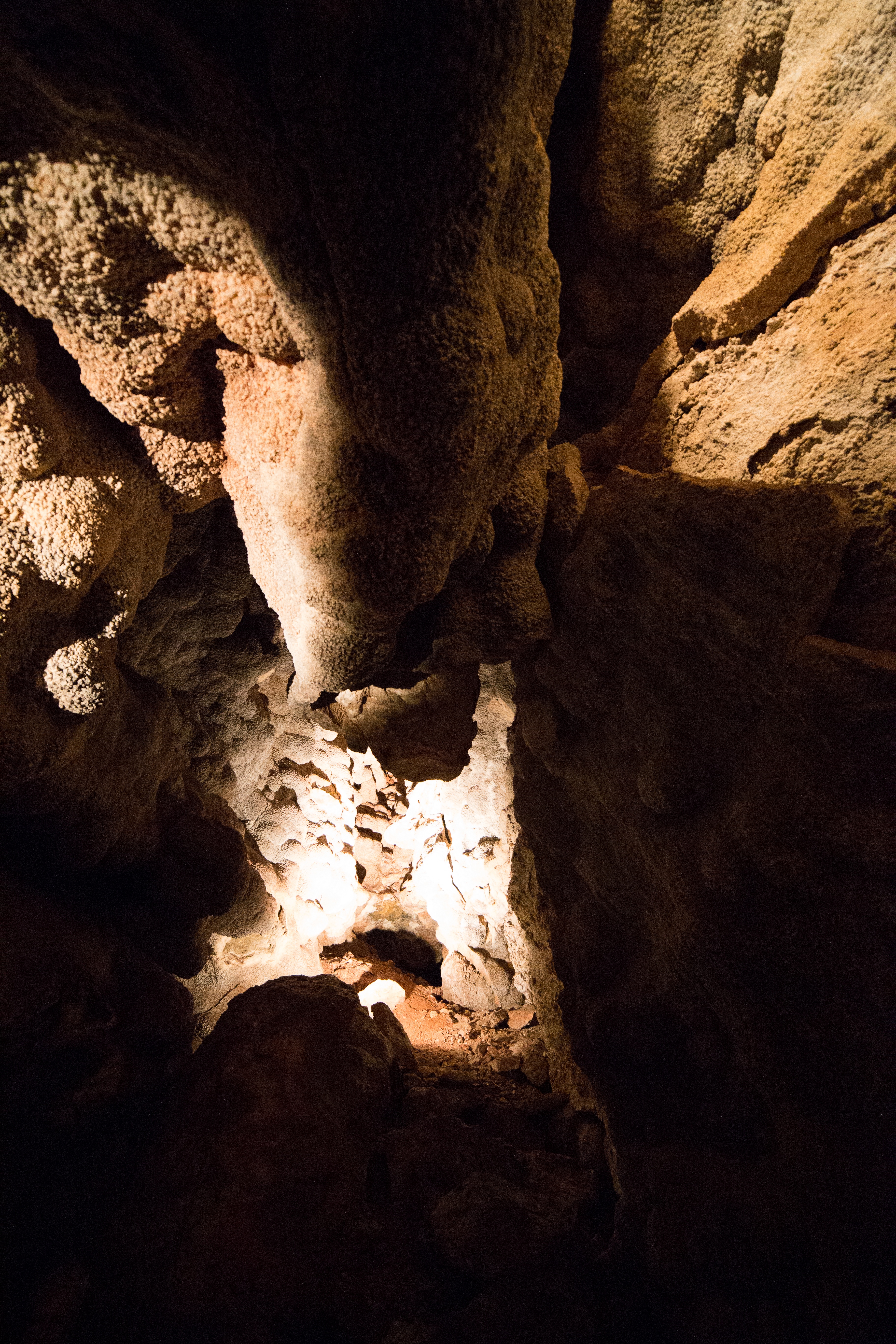
Jewel Cave National Monument

Geology rocks
Jewel Cave National Monument, SD

Hell Canyon

180/365: October 9, 2007
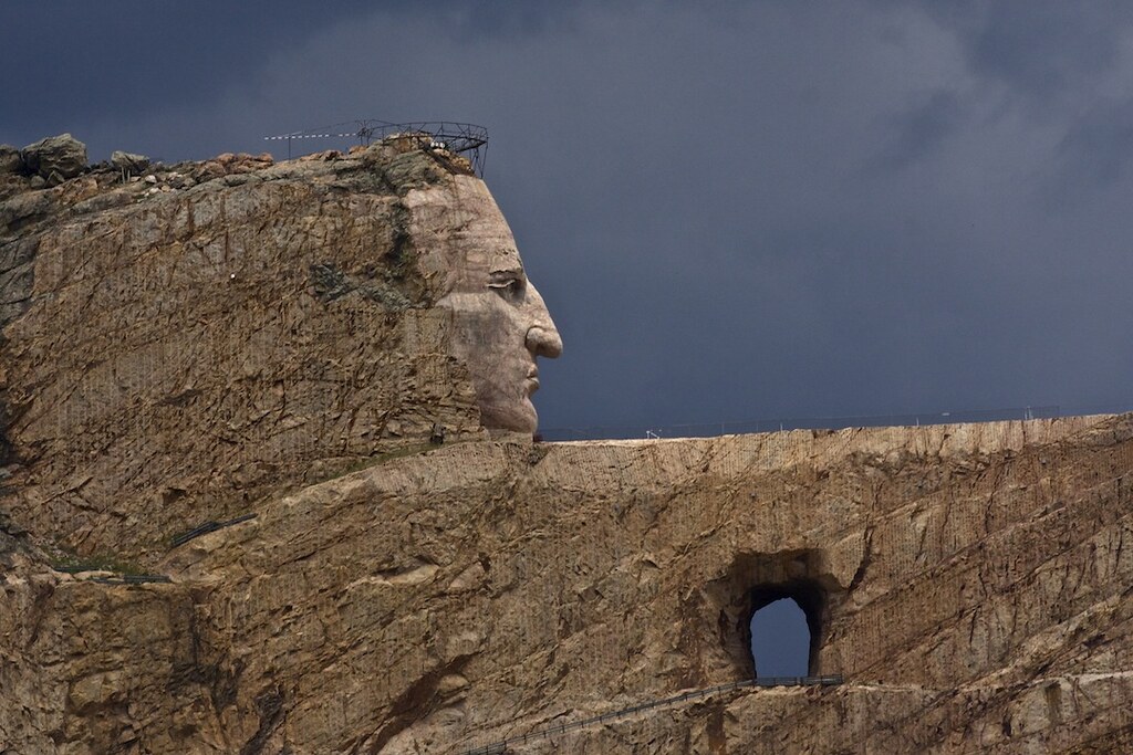
Monumental undertaking.
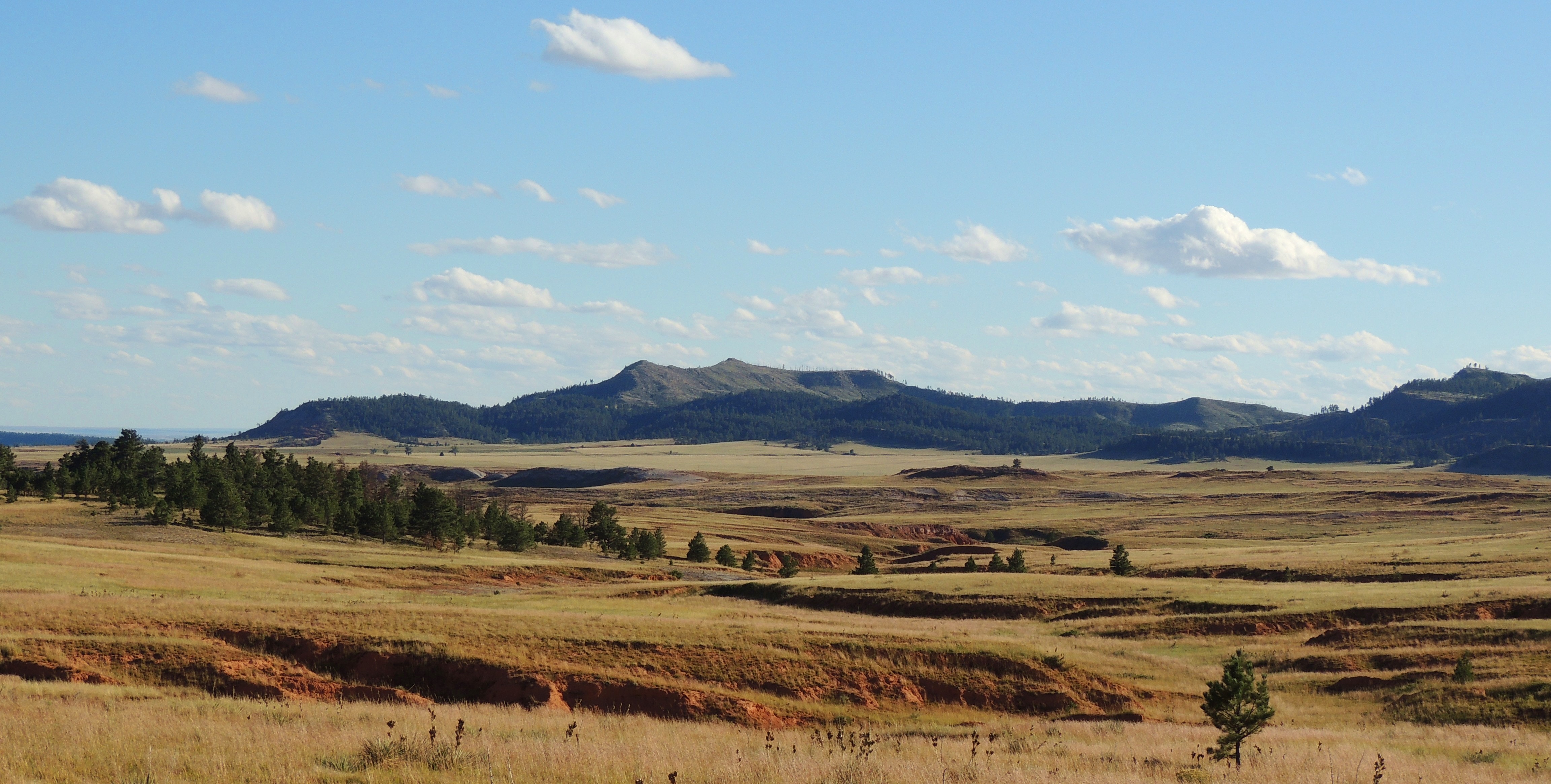
Western Skies
IMG_3498.jpg
IMG_3532.jpg
IMG_3570.jpg
IMG_3556.jpg

IMG_3624.jpg

DSC_0528-Edit-Edit.jpg
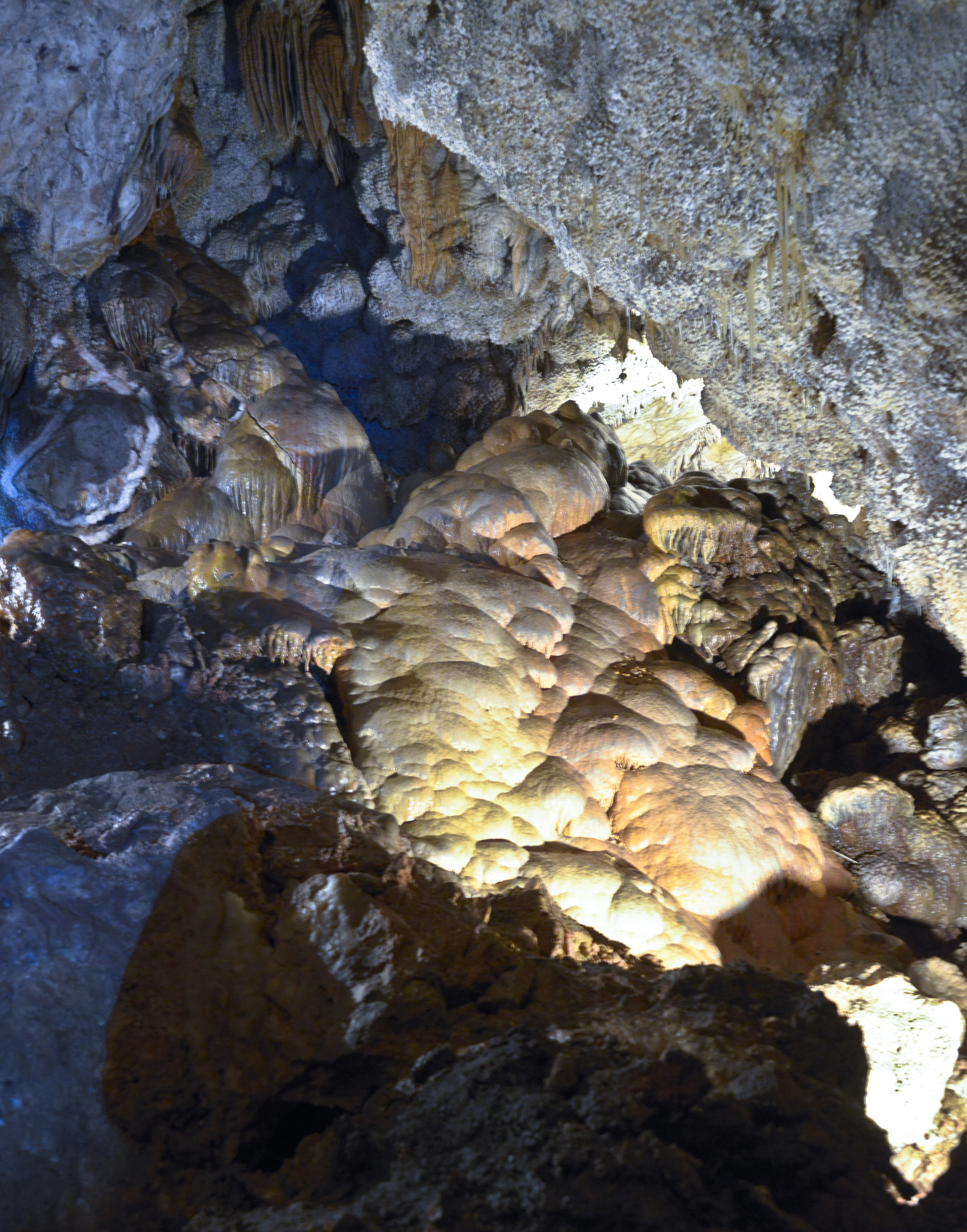
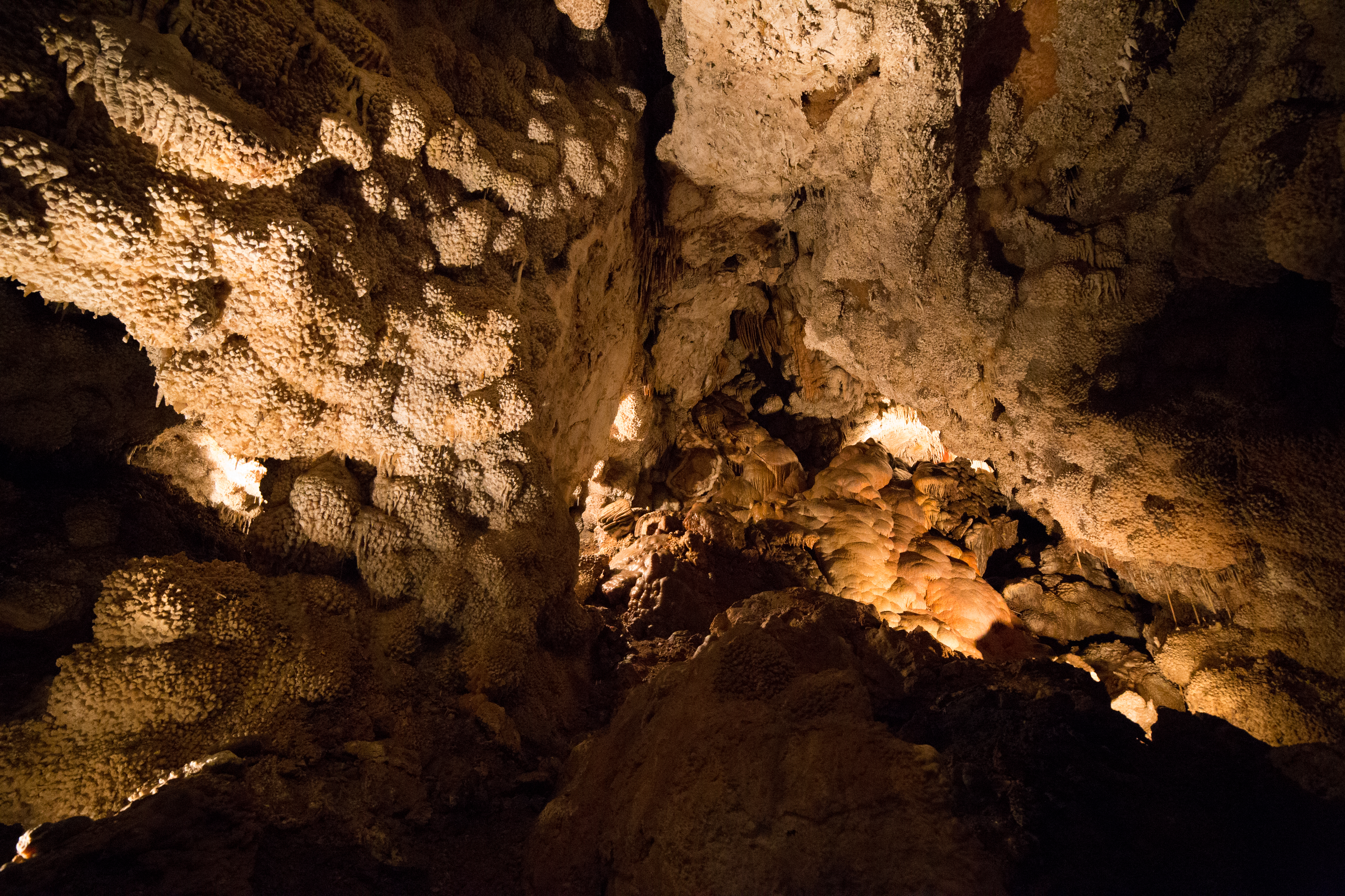
Pillows of limestone

IMG_3531.jpg
DSC_8849.jpg
IMG_3623.jpg
IMG_3555.jpg
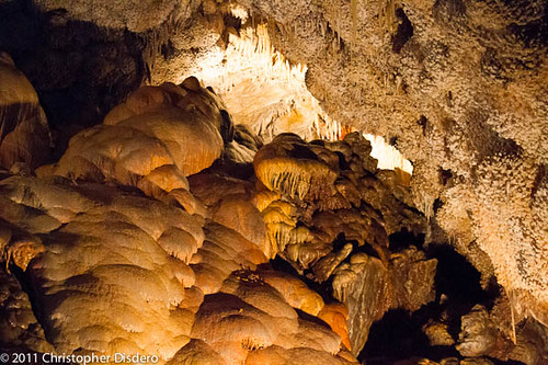
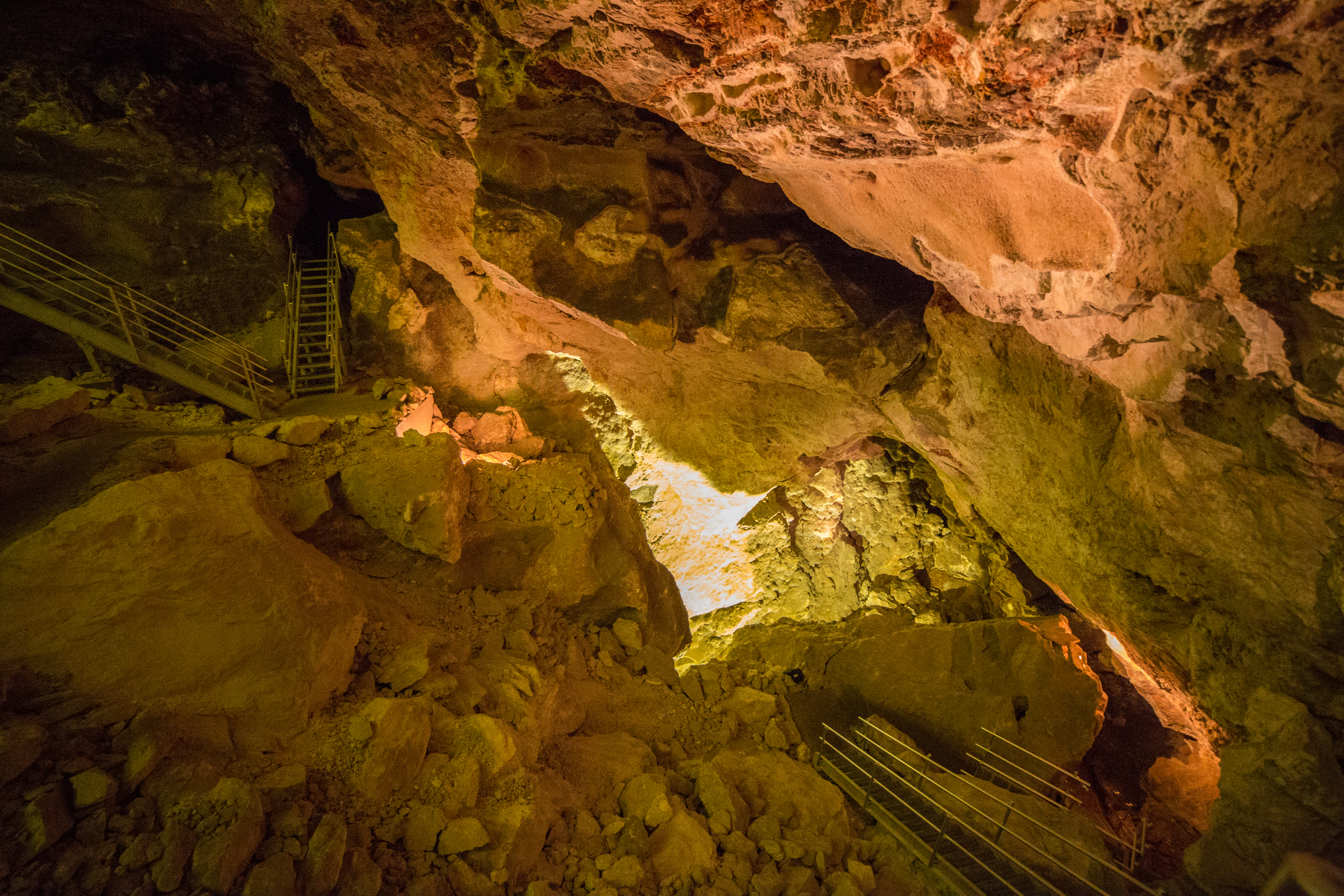
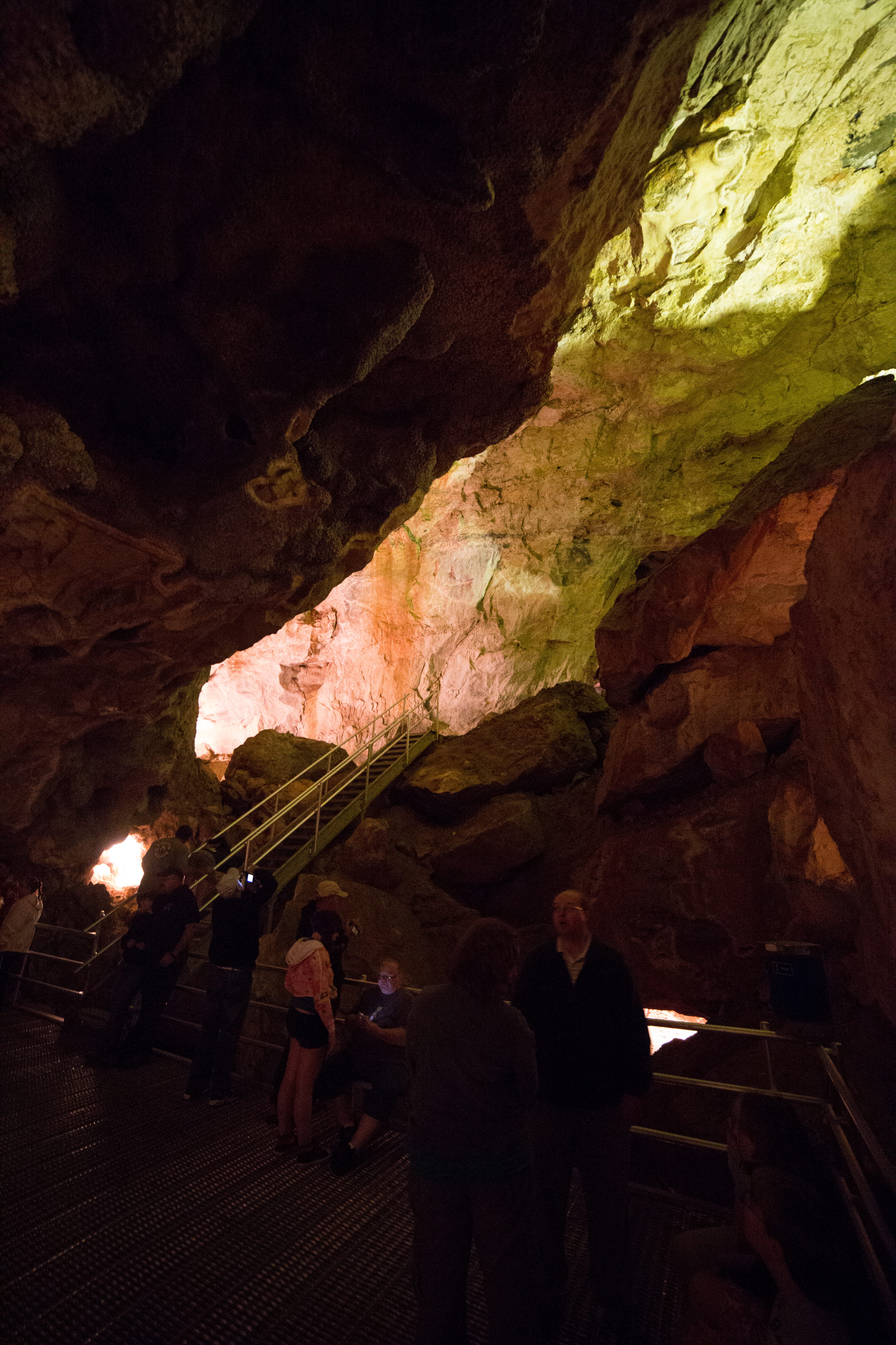
Sights from Jewel Cave
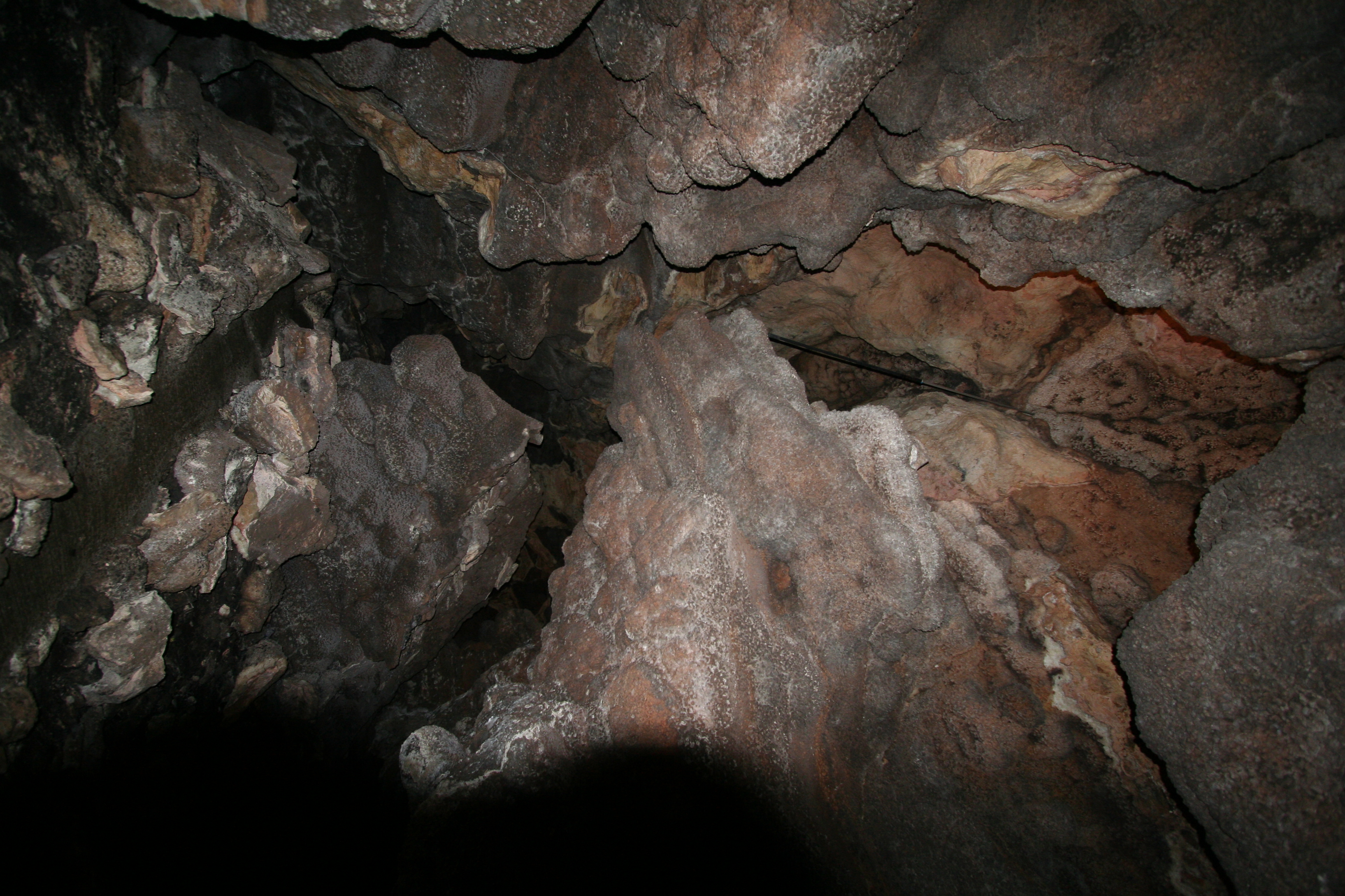
Jewel Cave
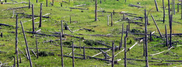
Jasper burn area 4

DSC_8814.jpg
Topographic Map of Branch Dr, Custer, SD, USA
Find elevation by address:

Places near Branch Dr, Custer, SD, USA:
West Custer Township
Thunder Road
11596 Us-16
Mount Rushmore Road
24999 Danby Park Trail
24967 N Pole Rd
Fox Ridge Road
25543 Mountain Shadow Rd
11820 Custer Limestone Rd
12021 Mt Rushmore Rd
12084 Big Pine Rd
25156 Little Italy Rd
Pringle
White Elephant Mine
Mount Rushmore Road
French Creek Rv Park-campground
Custer
Mt Rushmore Rd, Custer, SD, USA
Broken Arrow Campground
813 Harney St
Recent Searches:
- Elevation of Village Point Dr, Daphne, AL, USA
- Elevation map of Kabardino-Balkarian Republic, Russia
- Elevation of Tyrnyauz, Kabardino-Balkarian Republic, Russia
- Elevation of Sunset Dr, Hernando, MS, USA
- Elevation of Lake Rotoroa, Tasman, New Zealand
- Elevation of George St, New Bern, NC, USA
- Elevation of Cove Rd, Jasper, GA, USA
- Elevation of Cove Rd, Jasper, GA, USA
- Elevation of South Yankee Meadow Road, Forest Road, Paragonah, UT, USA
- Elevation of SW Elderview Dr, Sherwood, OR, USA