Elevation of Brahmanbaria District, Bangladesh
Location: Bangladesh > Chittagong Division >
Longitude: 91.1115014
Latitude: 23.9608181
Elevation: 10m / 33feet
Barometric Pressure: 101KPa
Elevation Map:
Satellite Map:
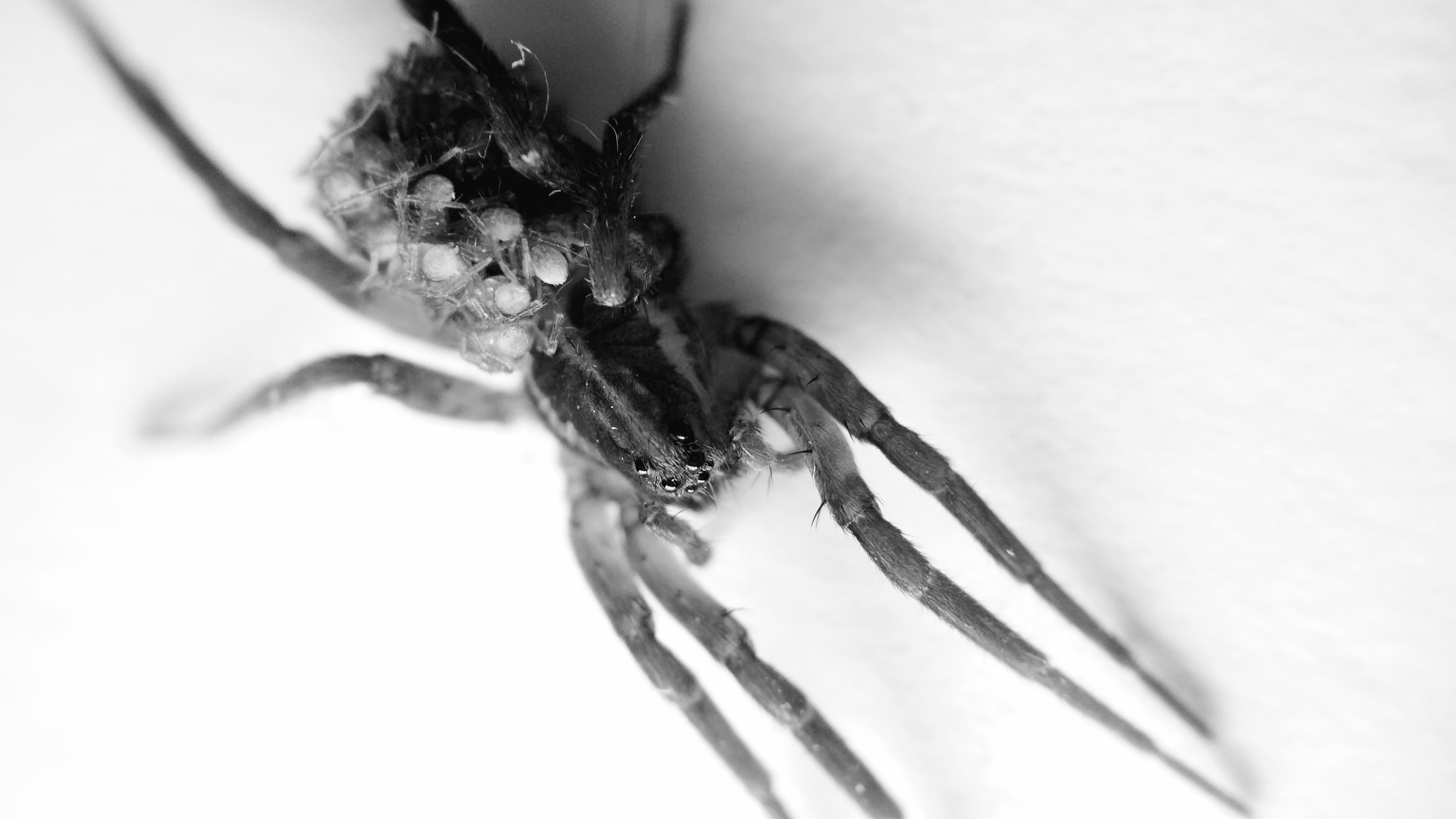
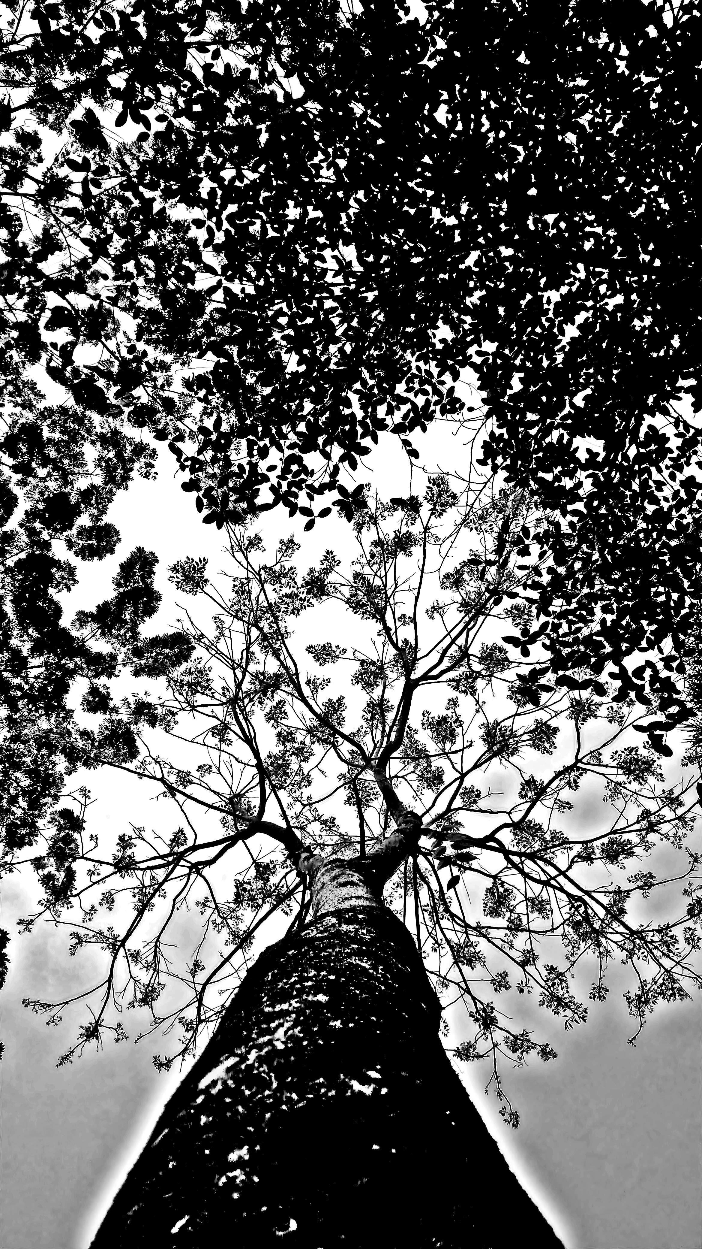
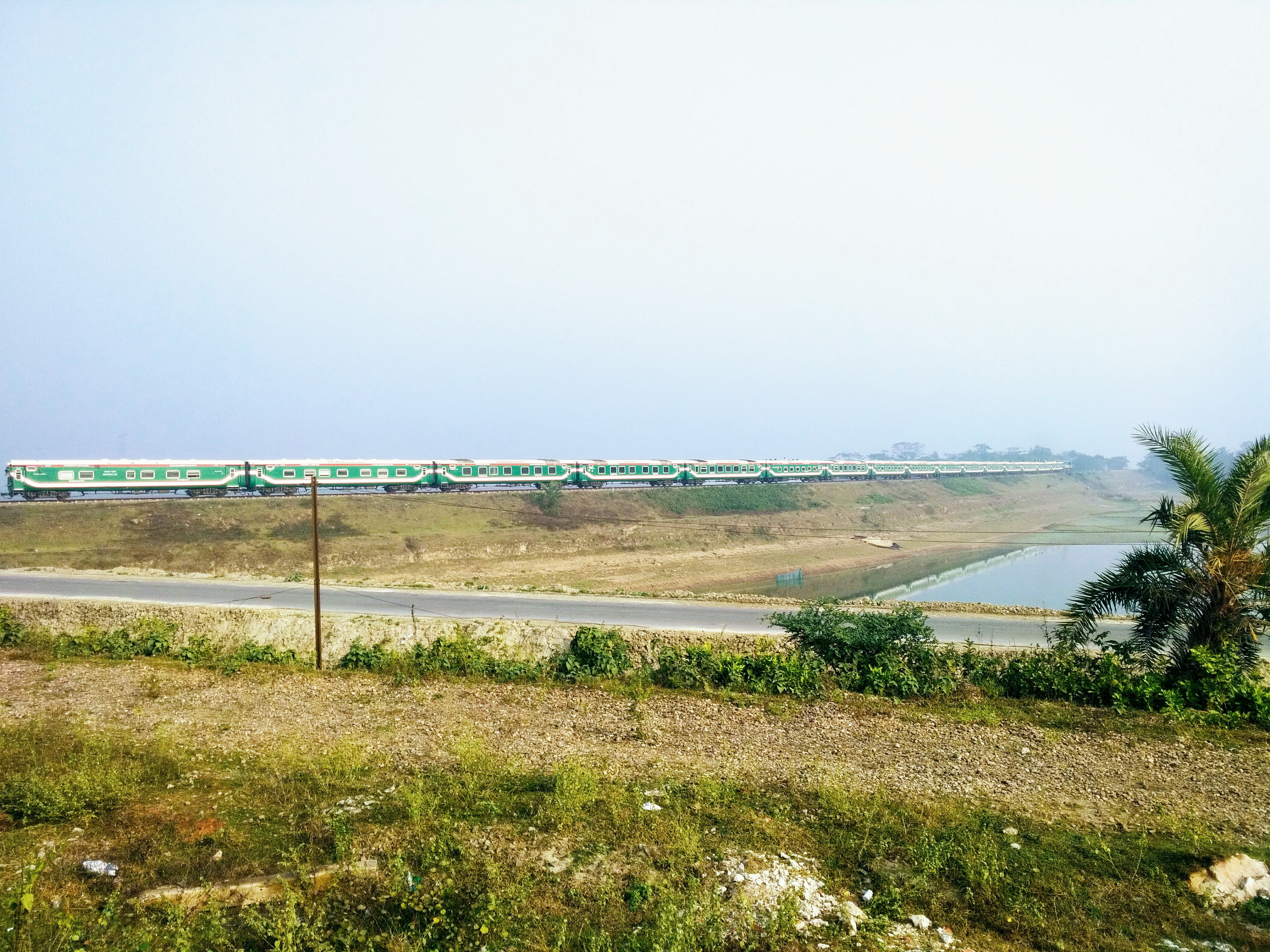
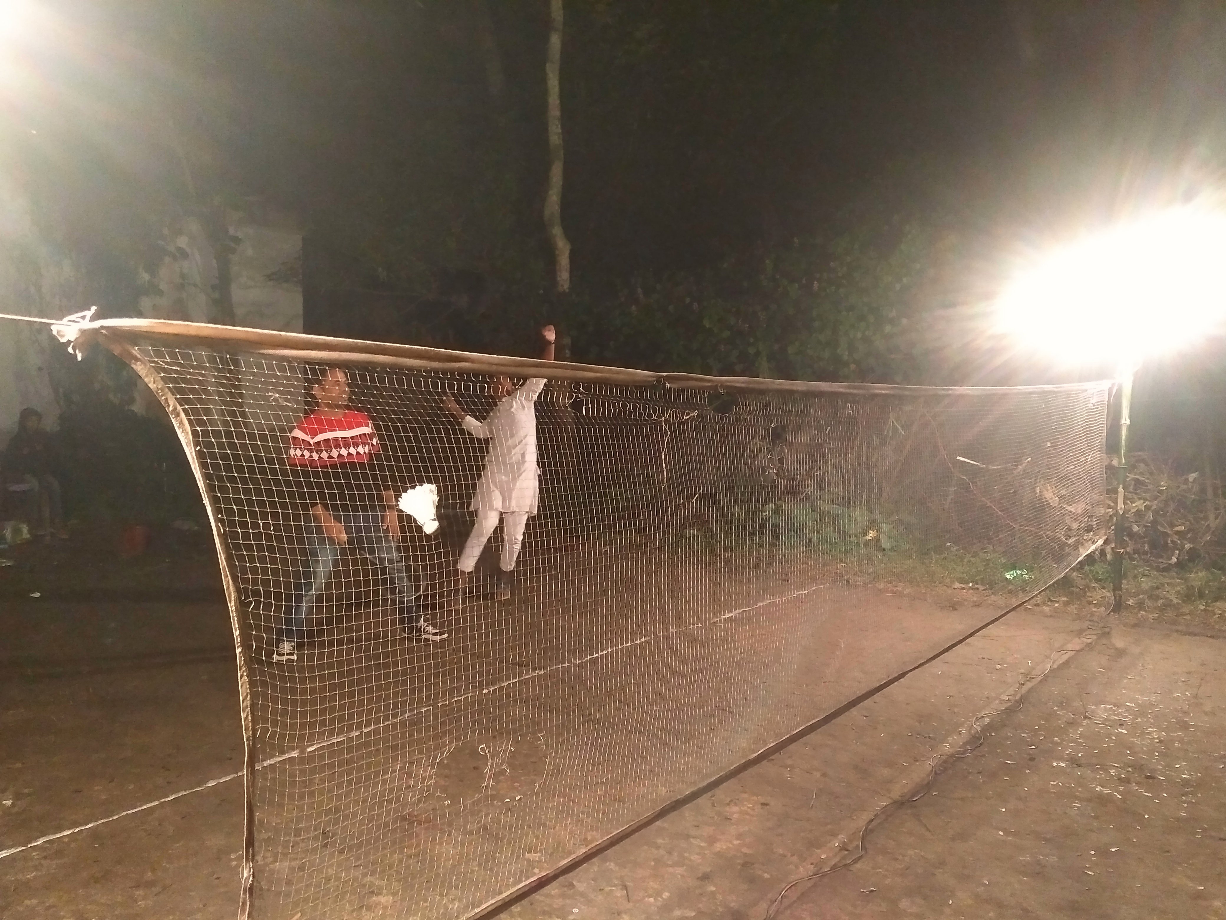
Related Photos:
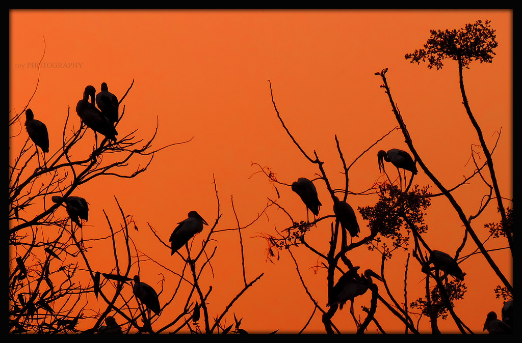
The resting Storks
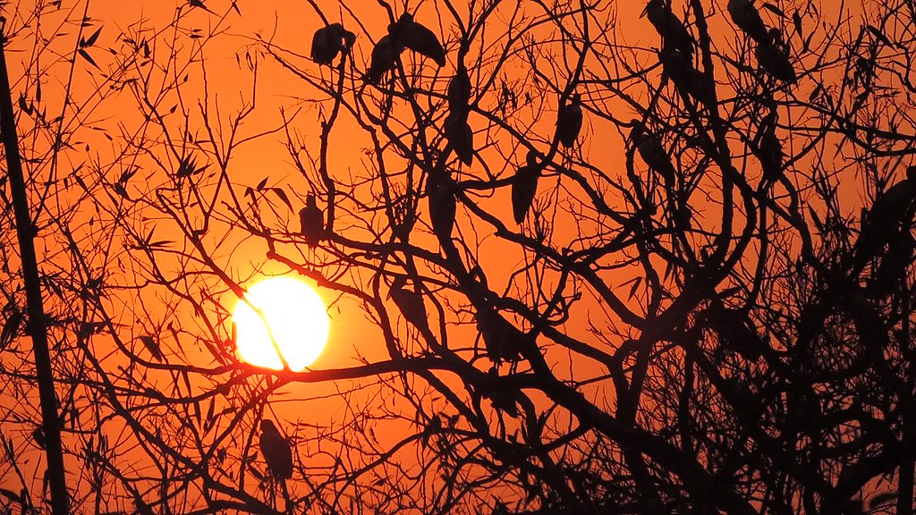
The Majestic View
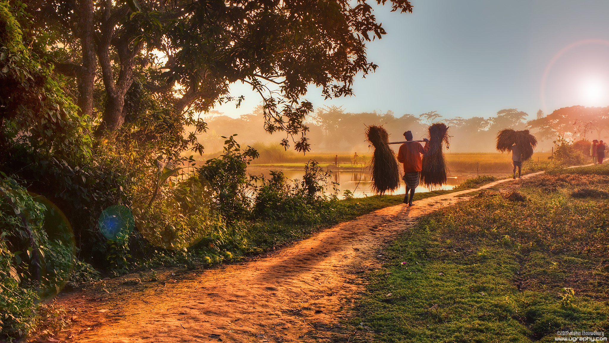
ফুরায় বেলা (End of another day)
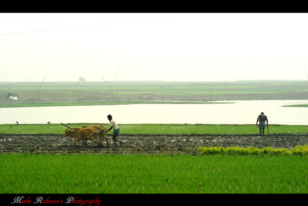
Green Life Style...!!
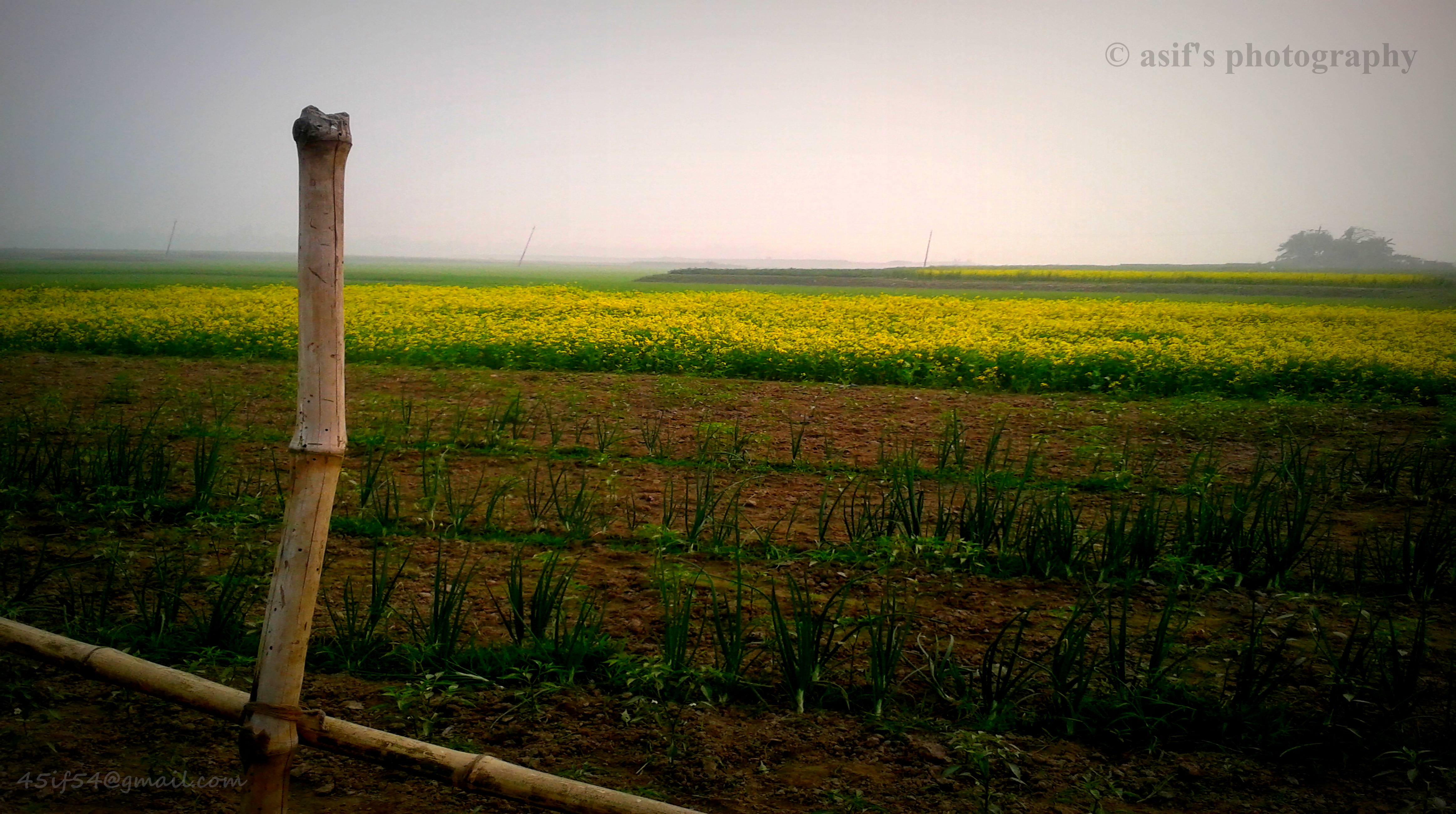
beautiful Bangladesh!
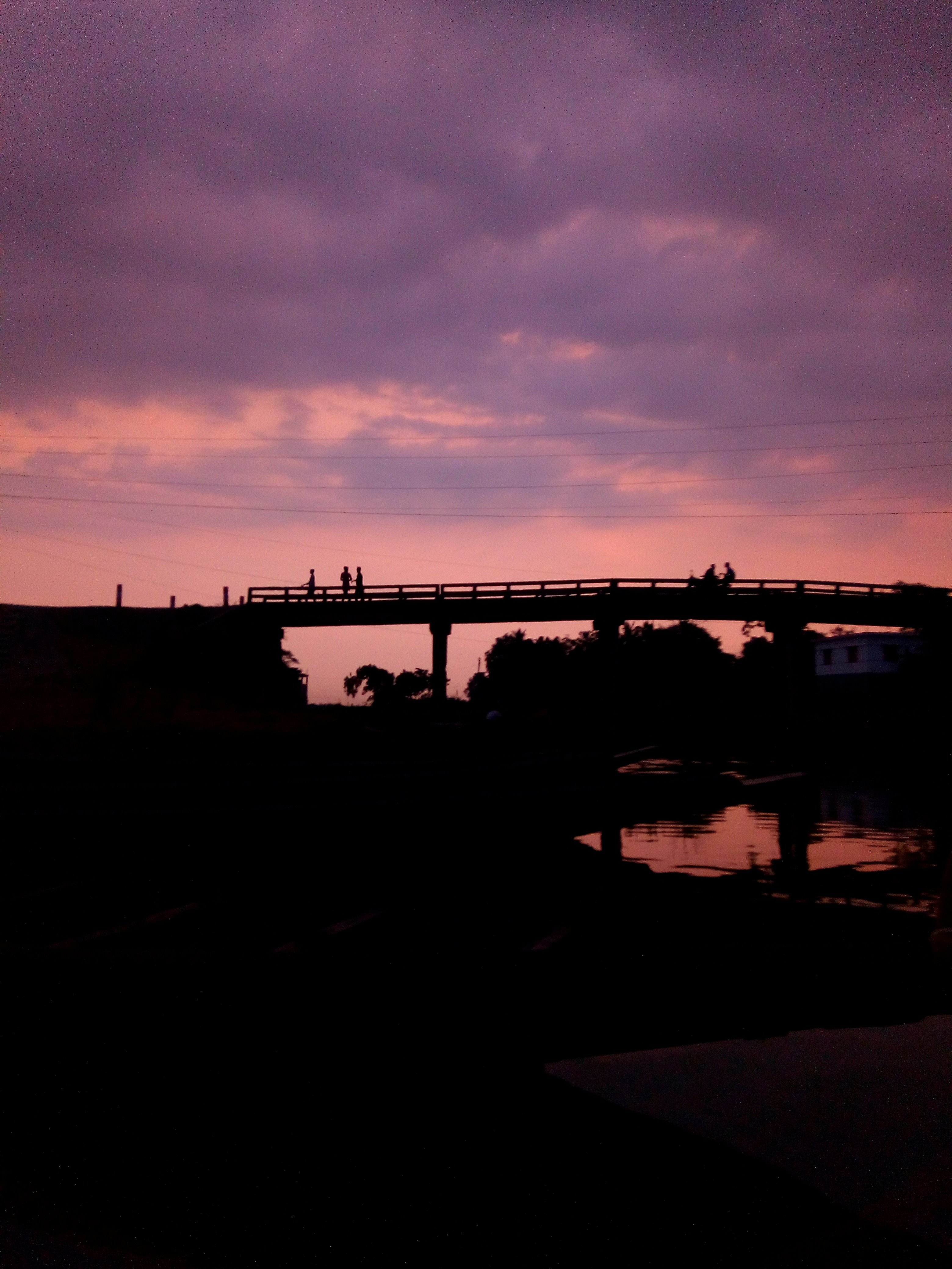
Ends of the Day!
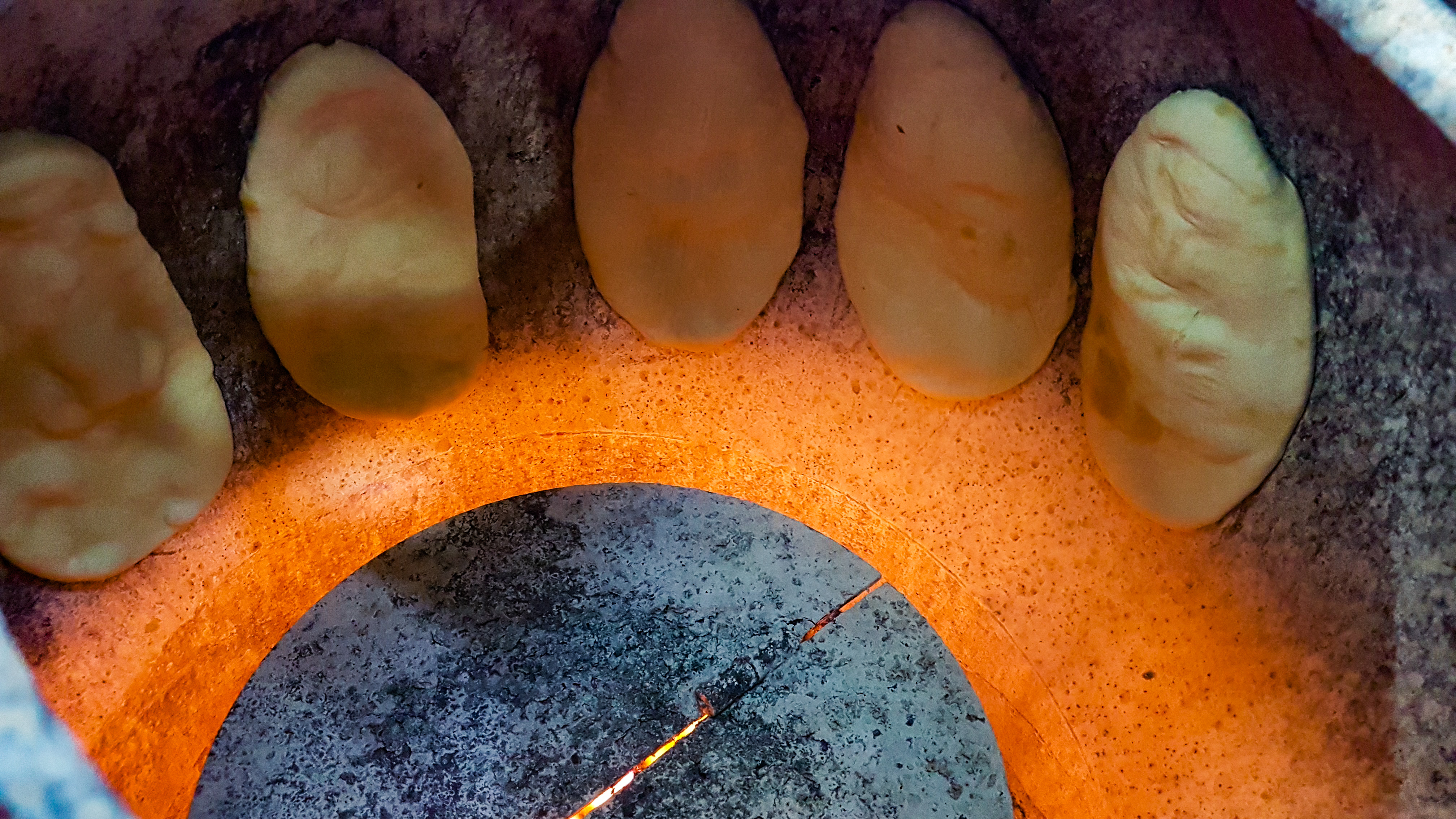
Making Of Naan
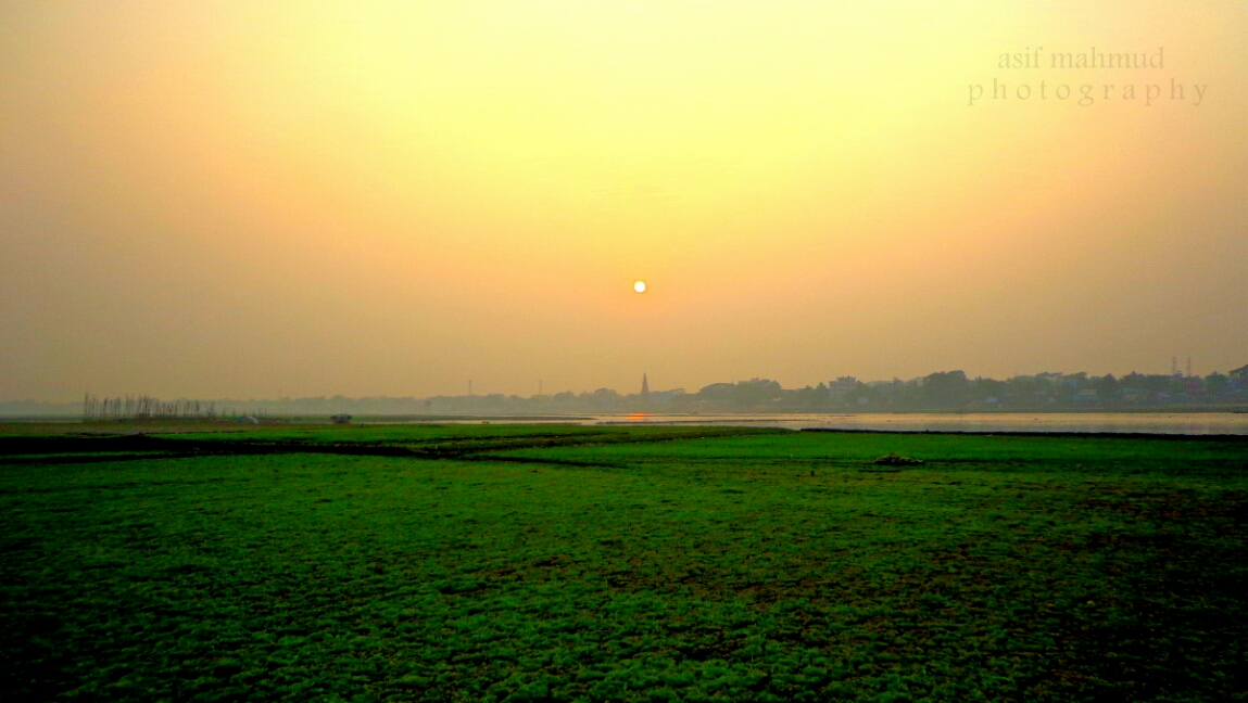
গোধূলি বেলায় রোদ গরম ছুঁয়ে গ্যাছে বিলের জলে! আর সভ্যতা মাথা উঁচু দাঁড়িয়ে আরো একটি দিন পতনের সাক্ষী হয়ে...
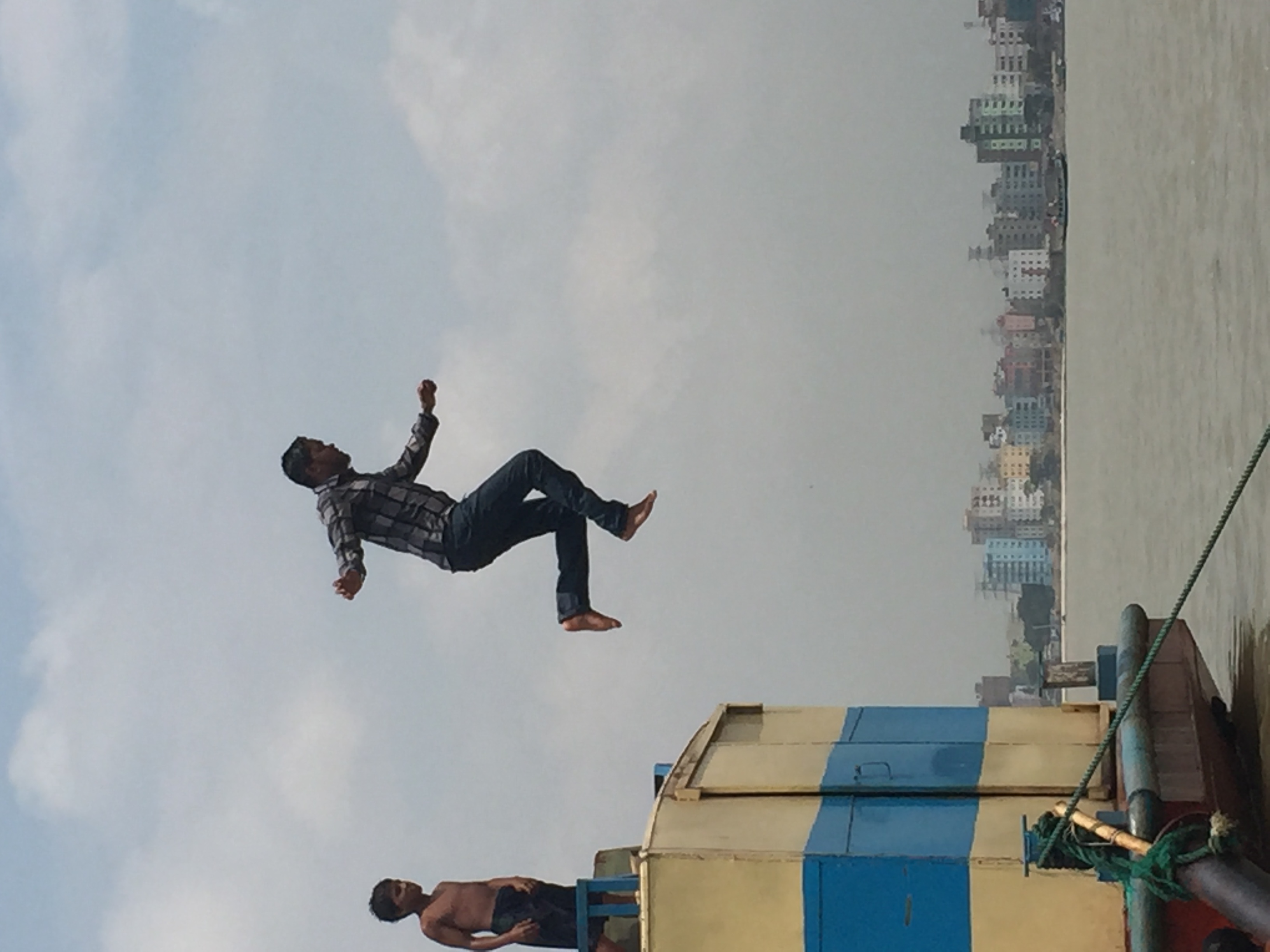
মেঘনা নদীতে গোসল আর টিএনটিতে আড্ডা। ????????????
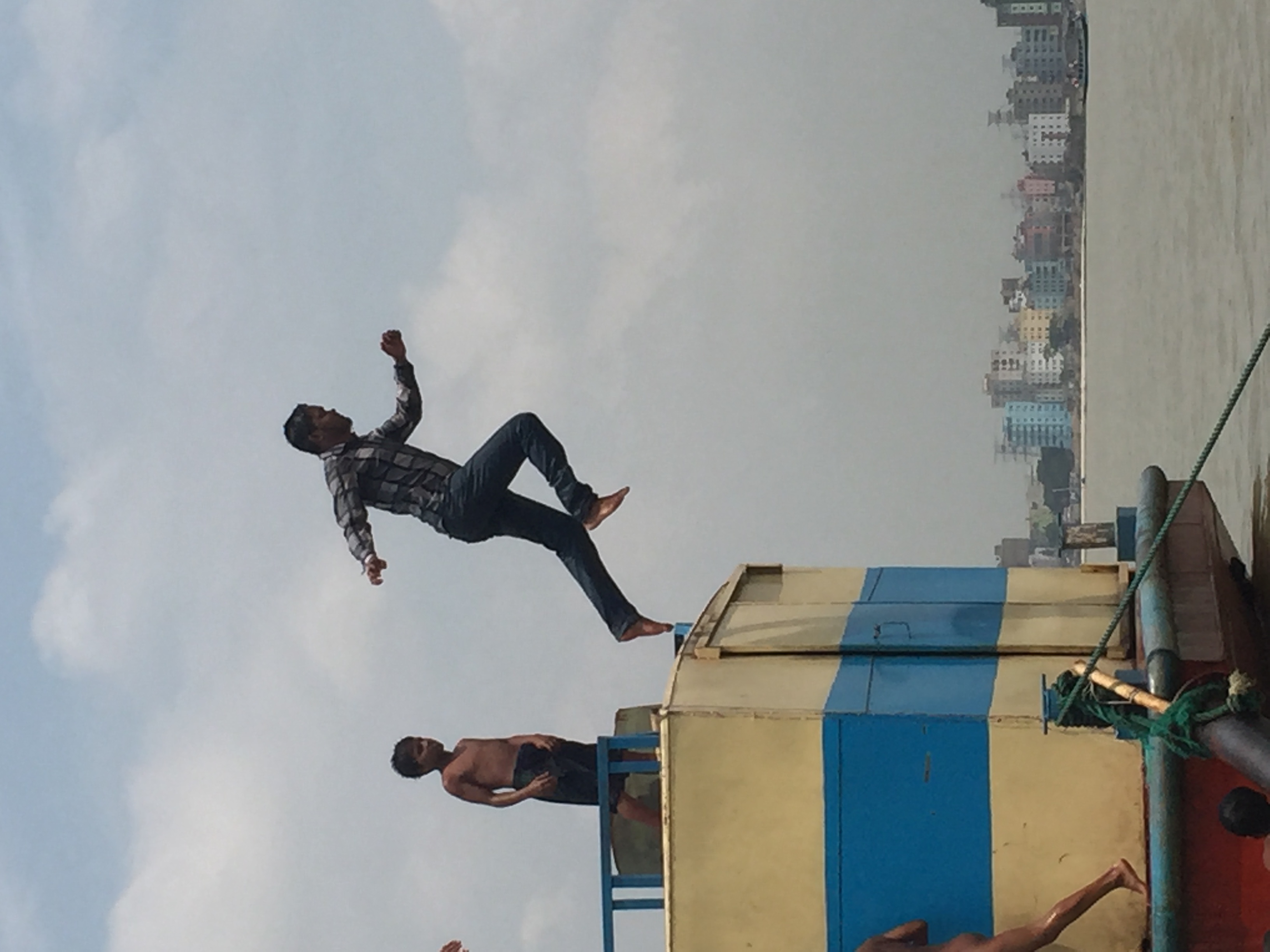
মেঘনা নদীতে গোসল আর টিএনটিতে আড্ডা। ????????????
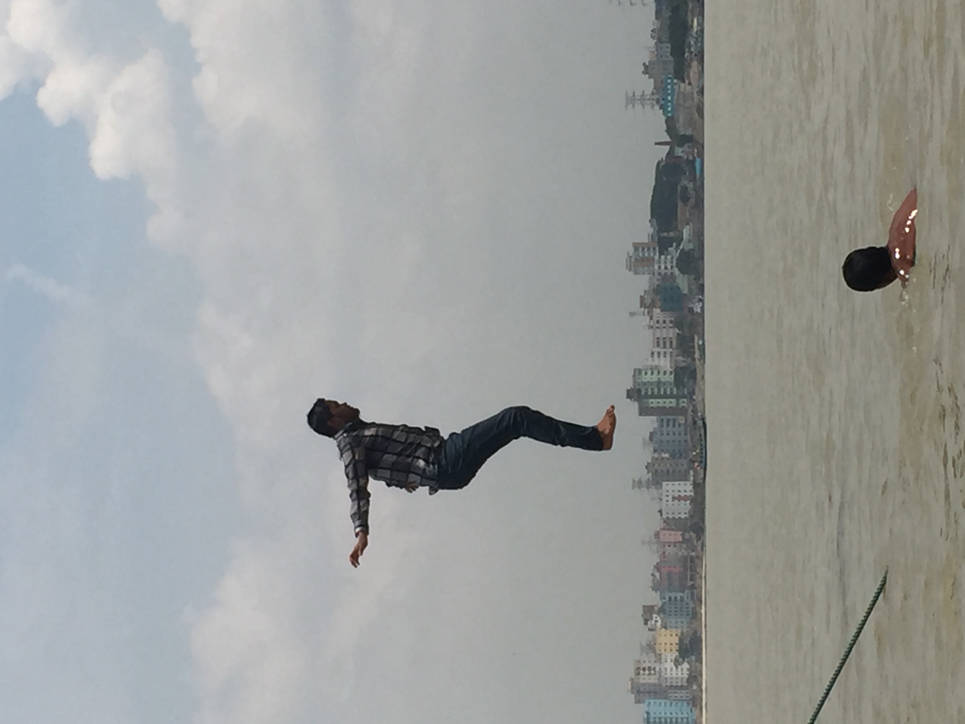
মেঘনা নদীতে গোসল আর টিএনটিতে আড্ডা। ????????????
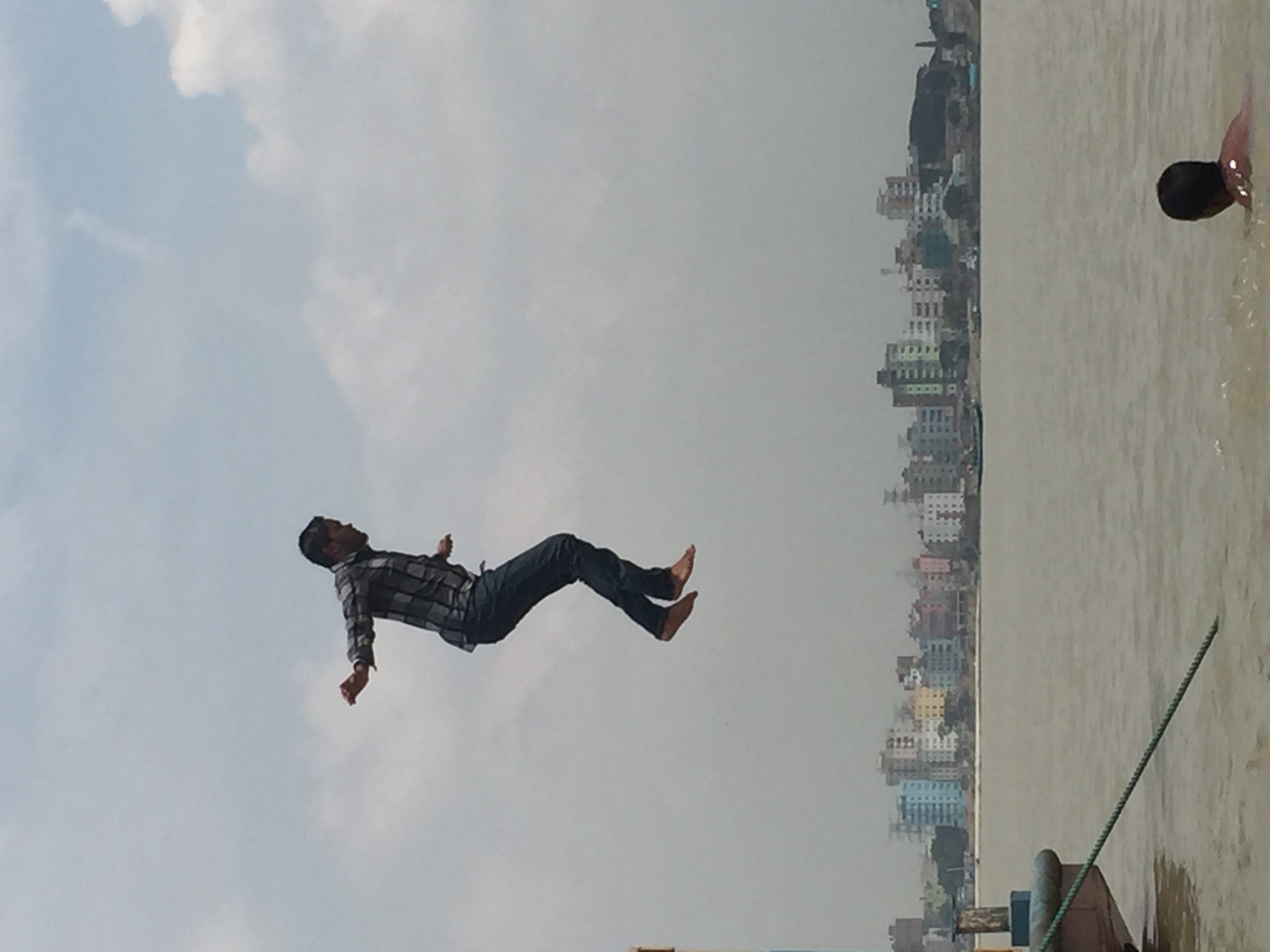
মেঘনা নদীতে গোসল আর টিএনটিতে আড্ডা। ????????????
IMG_20181220_194217 - Copy
IMG_20190102_165005 - Copy
2018-12-27_12-48-18
2018-12-27_12-37-08
IMG_20181225_135108-01
2018-12-14_01-17-02
2018-12-14_01-10-51
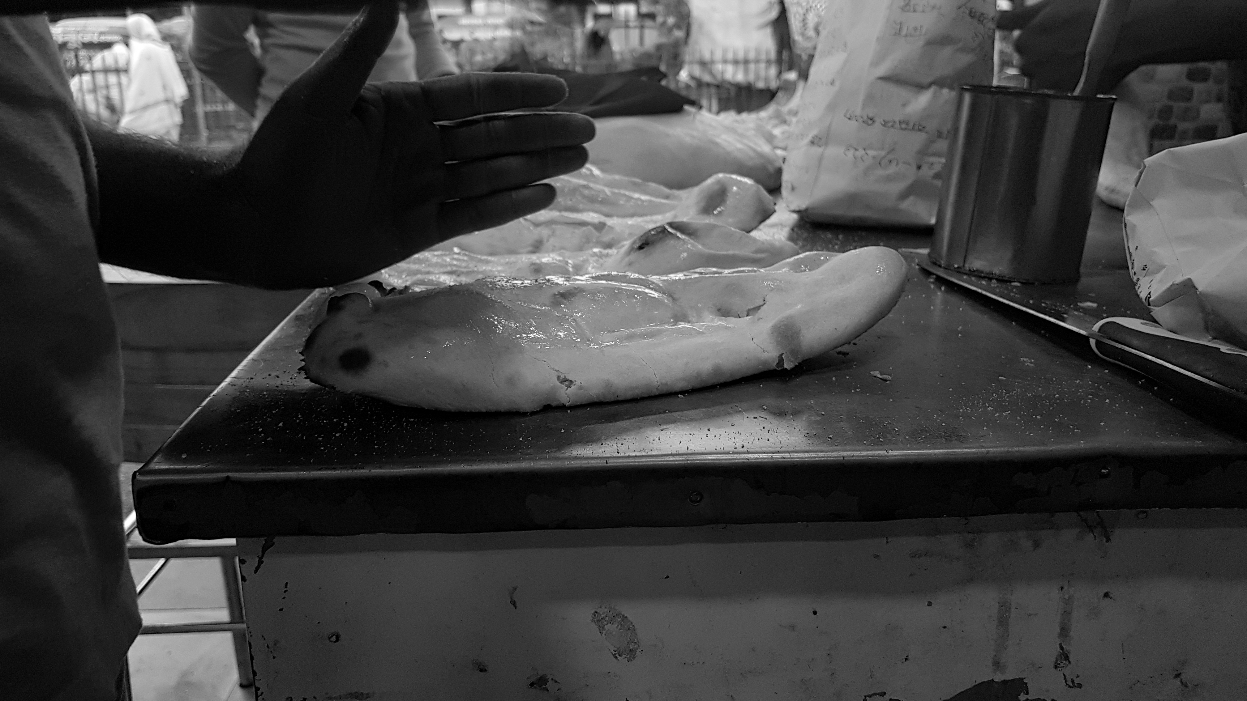
Making Of Naan
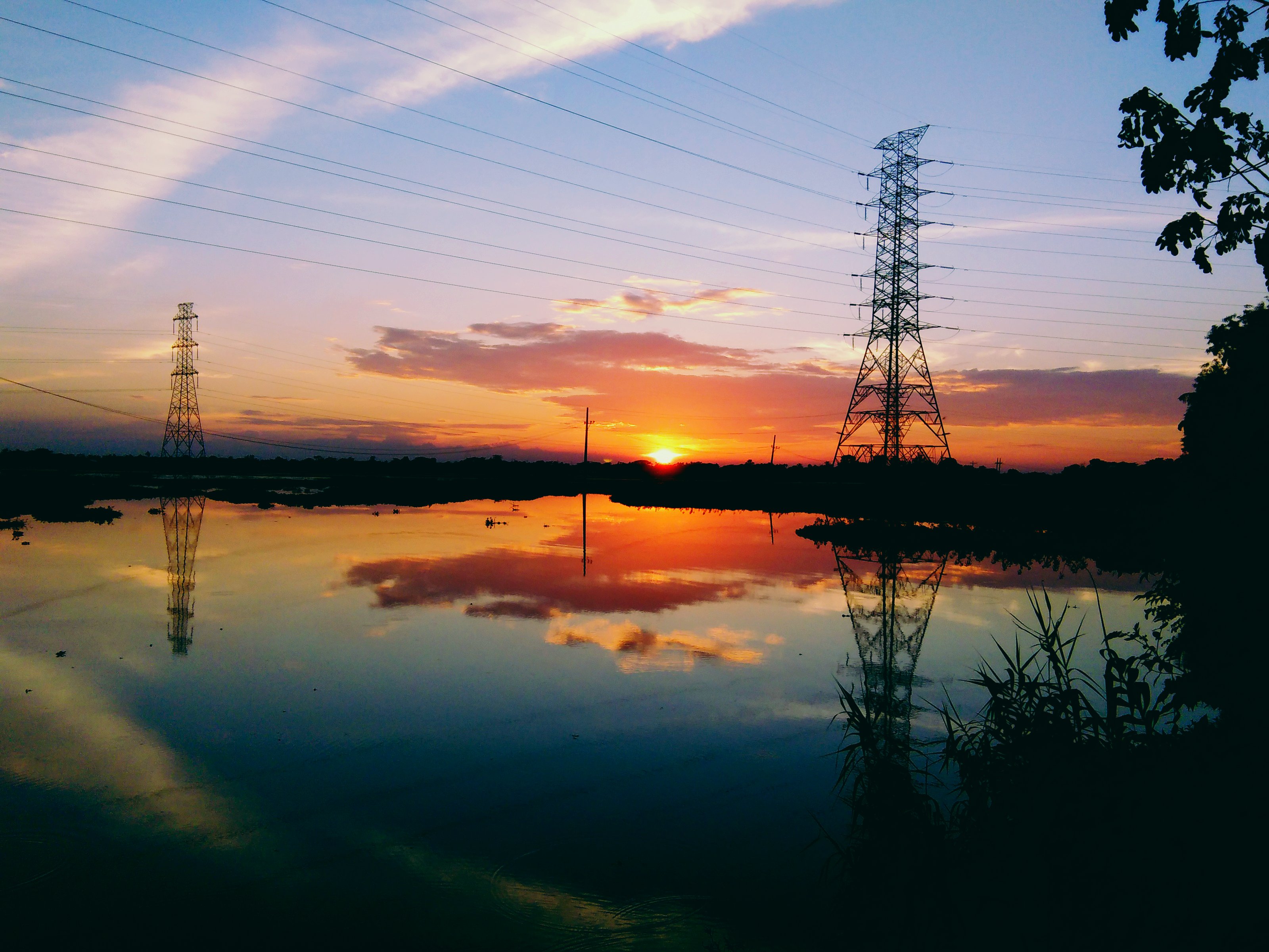
#sunset #village #Bangladesh
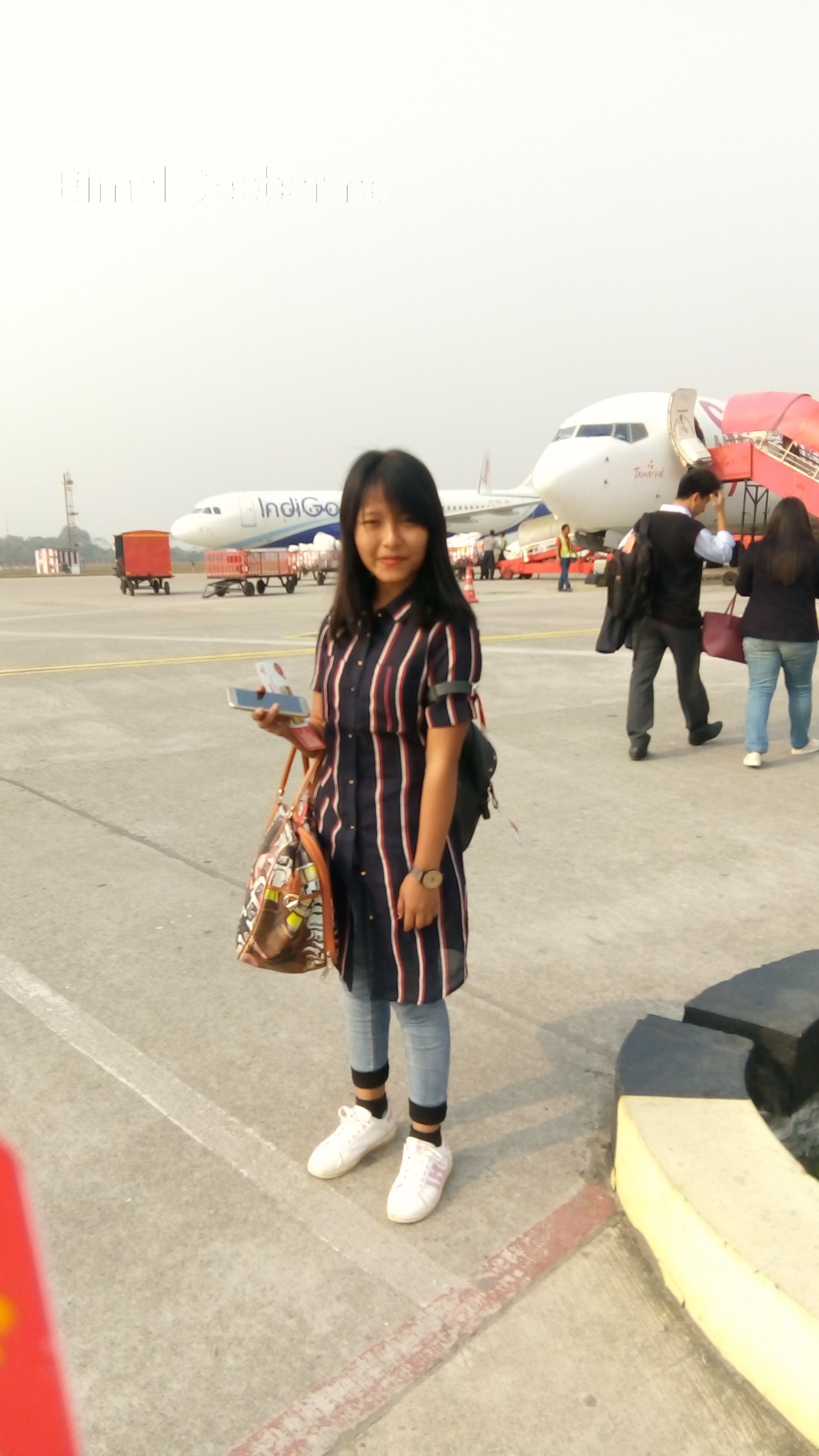
Lisha Debbarma
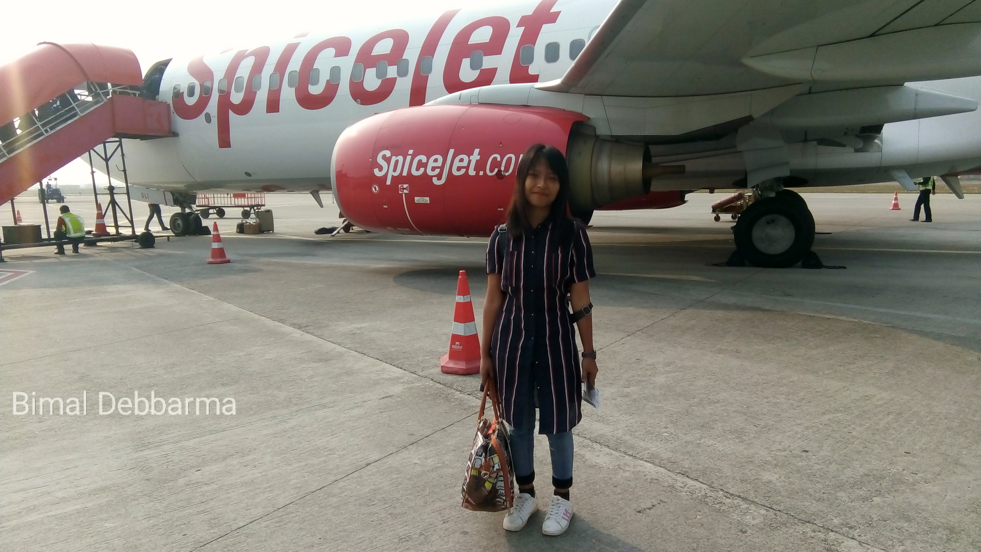
Lisha Debbarma

A lie or mistake !
IMG_20171231_120033-01-01
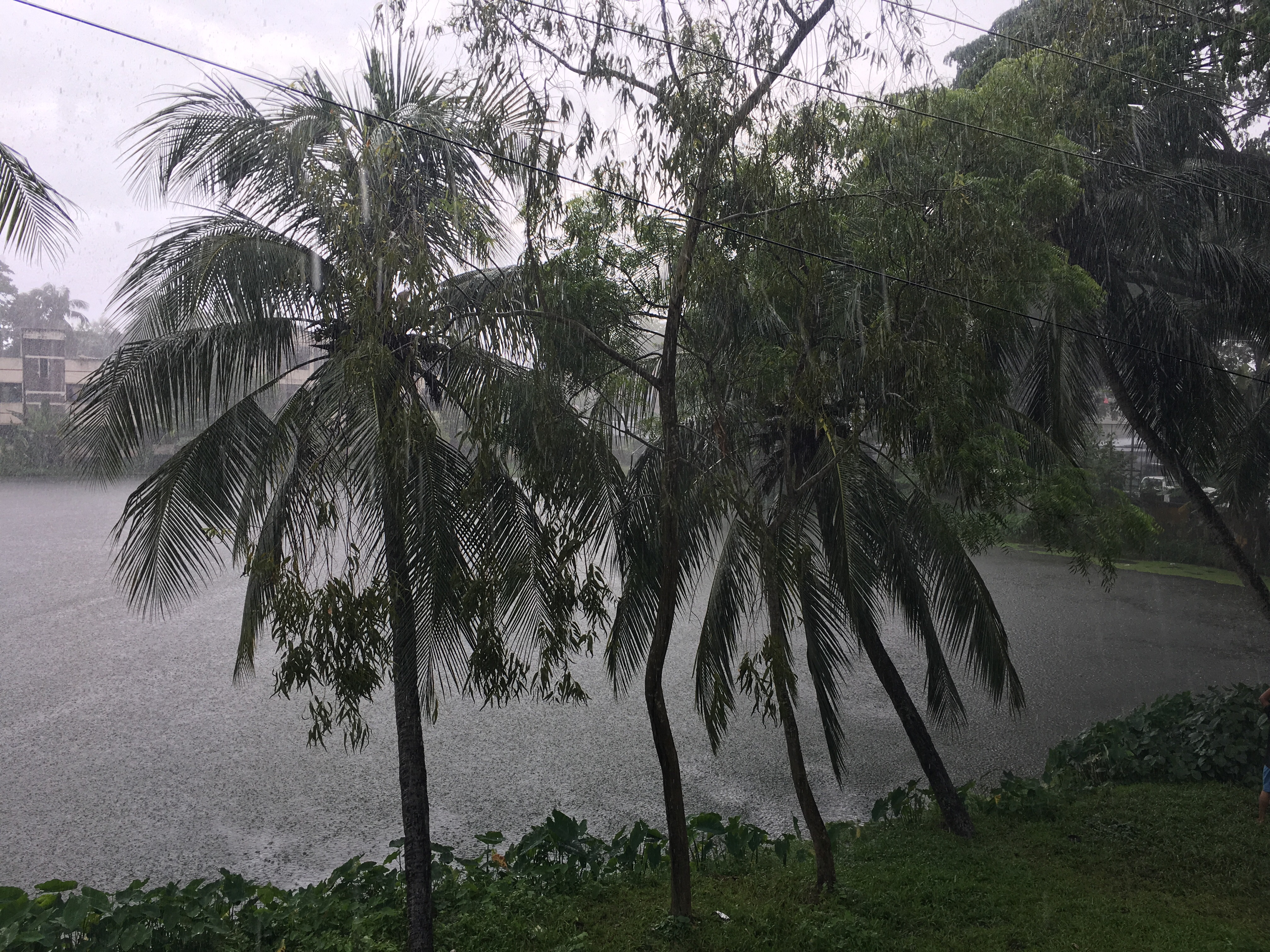
Rainy day
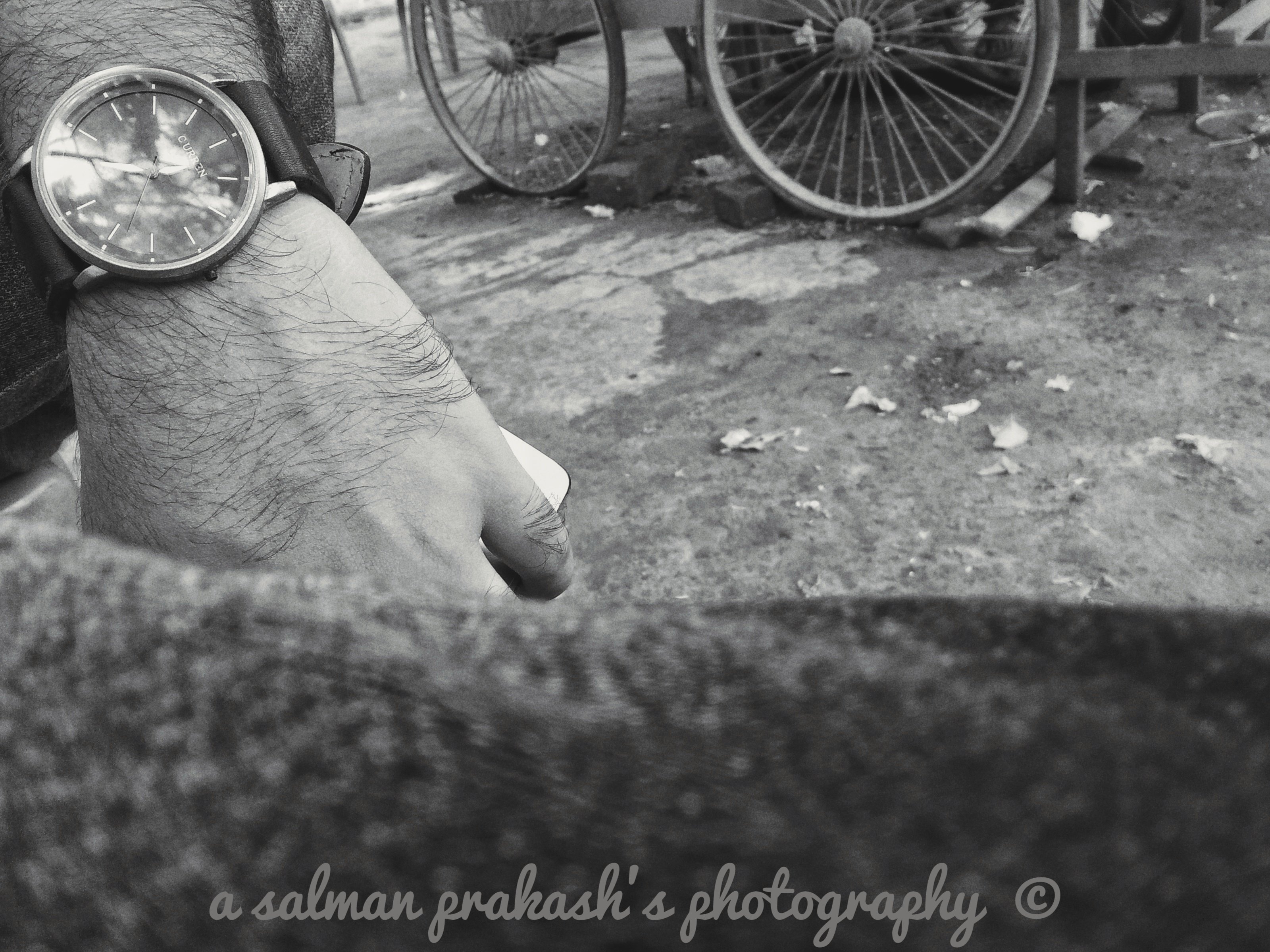
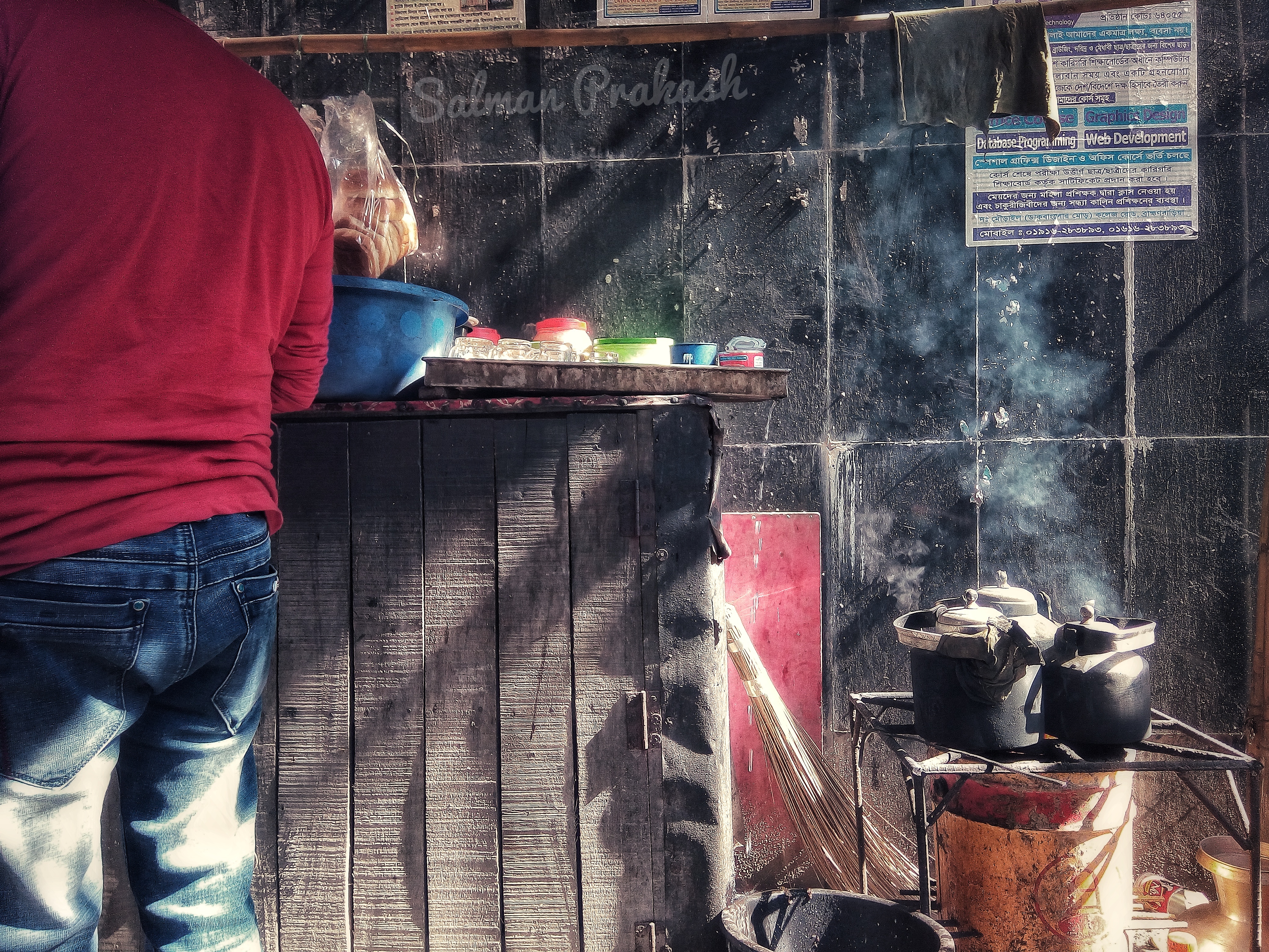
daily life
Topographic Map of Brahmanbaria District, Bangladesh
Find elevation by address:

Places near Brahmanbaria District, Bangladesh:
Madhabpur
Narsingdi District
Kishoreganj District
Kaliganj
Kapasia
Kishoreganj
Pubail
Pubail
Meghdubi
Gazipur
Shib Bari Bus Stand
Regional Spices Research Centre, Bari, Gazipur
Nasa Hitech Style Ltd.
Gazipur District
Bangladesh Rice Research Institute
Mahona Bhabanipur
Gazipur Sadar Upazila
Elham Fashion Ltd.
Sullah
Enrich Sweater Ltd.
Recent Searches:
- Elevation of Felindre, Swansea SA5 7LU, UK
- Elevation of Leyte Industrial Development Estate, Isabel, Leyte, Philippines
- Elevation of W Granada St, Tampa, FL, USA
- Elevation of Pykes Down, Ivybridge PL21 0BY, UK
- Elevation of Jalan Senandin, Lutong, Miri, Sarawak, Malaysia
- Elevation of Bilohirs'k
- Elevation of 30 Oak Lawn Dr, Barkhamsted, CT, USA
- Elevation of Luther Road, Luther Rd, Auburn, CA, USA
- Elevation of Unnamed Road, Respublika Severnaya Osetiya — Alaniya, Russia
- Elevation of Verkhny Fiagdon, North Ossetia–Alania Republic, Russia