Elevation of BrahmanaPalli, Andhra Pradesh, India
Location: India > Andhra Pradesh > Guntur >
Longitude: 79.8310749
Latitude: 16.5173058
Elevation: 108m / 354feet
Barometric Pressure: 100KPa
Elevation Map:
Satellite Map:
Related Photos:

NDKD - MCLA Pass.

GNT - MCLA Pass.
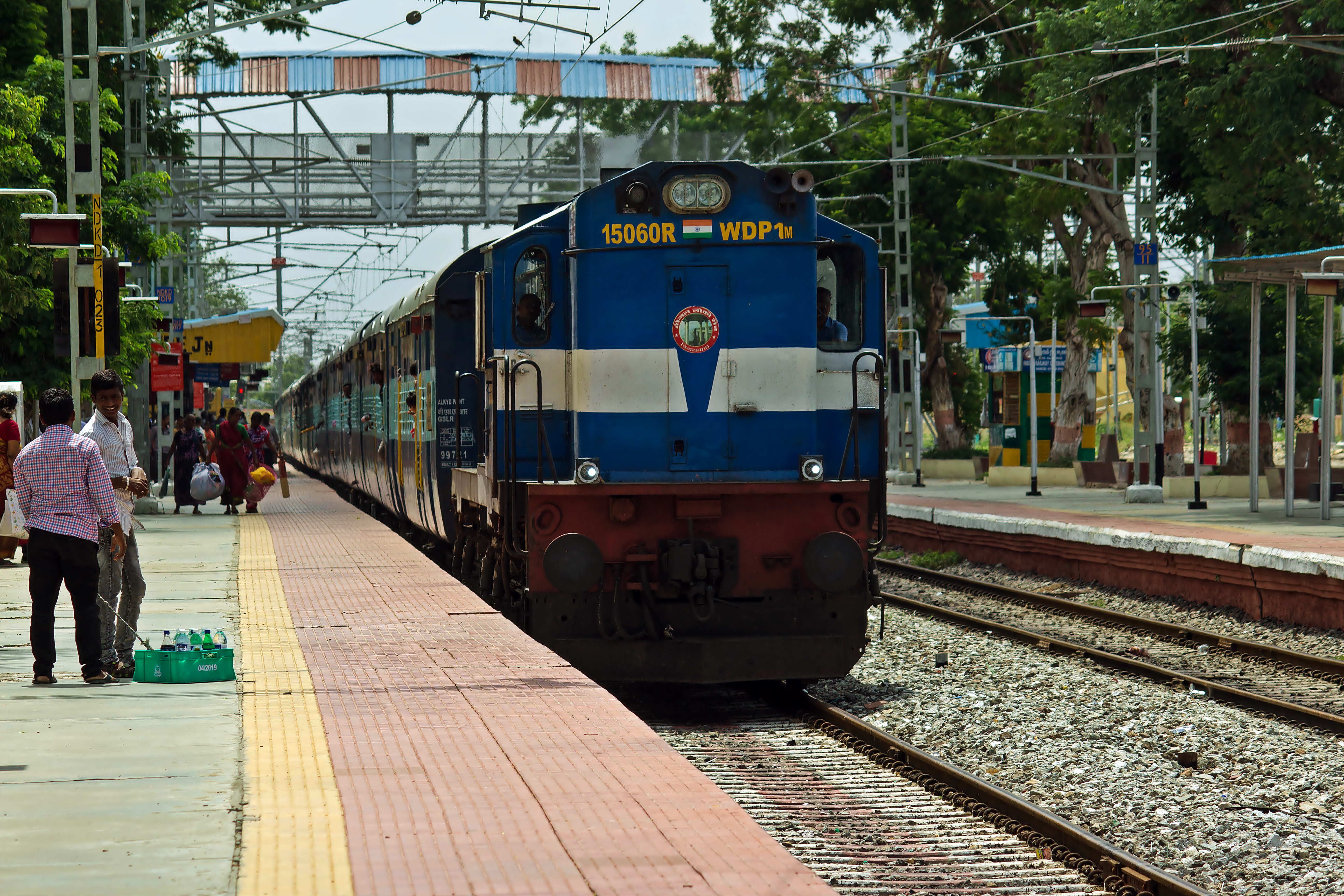
GNT - MCLA Pass.

#Old #man at the #Piduguralla #Railway #Station.

bijjam baa

bijjam baa

bijjam baa

Mahabula album

Mahabula album
Topographic Map of BrahmanaPalli, Andhra Pradesh, India
Find elevation by address:

Places near BrahmanaPalli, Andhra Pradesh, India:
Bodanam
Chejerla
Guntur
Kothapalli
Telangana, India
Narasaraopeta
Miryalaguda
Nagarjuna Sagar Dam
Andhra Pradesh
Chandaluru
Markapur
Sundipenta
Srisailam Dam
Ongole
Srisailam
Peddivenkataya Palle
Amba Malleswara Swami Devasthanam
Linga Puram
Pedda Nallakalva
Recent Searches:
- Elevation of Tenjo, Cundinamarca, Colombia
- Elevation of Côte-des-Neiges, Montreal, QC H4A 3J6, Canada
- Elevation of Bobcat Dr, Helena, MT, USA
- Elevation of Zu den Ihlowbergen, Althüttendorf, Germany
- Elevation of Badaber, Peshawar, Khyber Pakhtunkhwa, Pakistan
- Elevation of SE Heron Loop, Lincoln City, OR, USA
- Elevation of Slanický ostrov, 01 Námestovo, Slovakia
- Elevation of Spaceport America, Co Rd A, Truth or Consequences, NM, USA
- Elevation of Warwick, RI, USA
- Elevation of Fern Rd, Whitmore, CA, USA