Elevation of Bradley Township, IL, USA
Location: United States > Illinois > Jackson County >
Longitude: -89.568627
Latitude: 37.914087
Elevation: 162m / 531feet
Barometric Pressure: 99KPa
Elevation Map:
Satellite Map:
Related Photos:
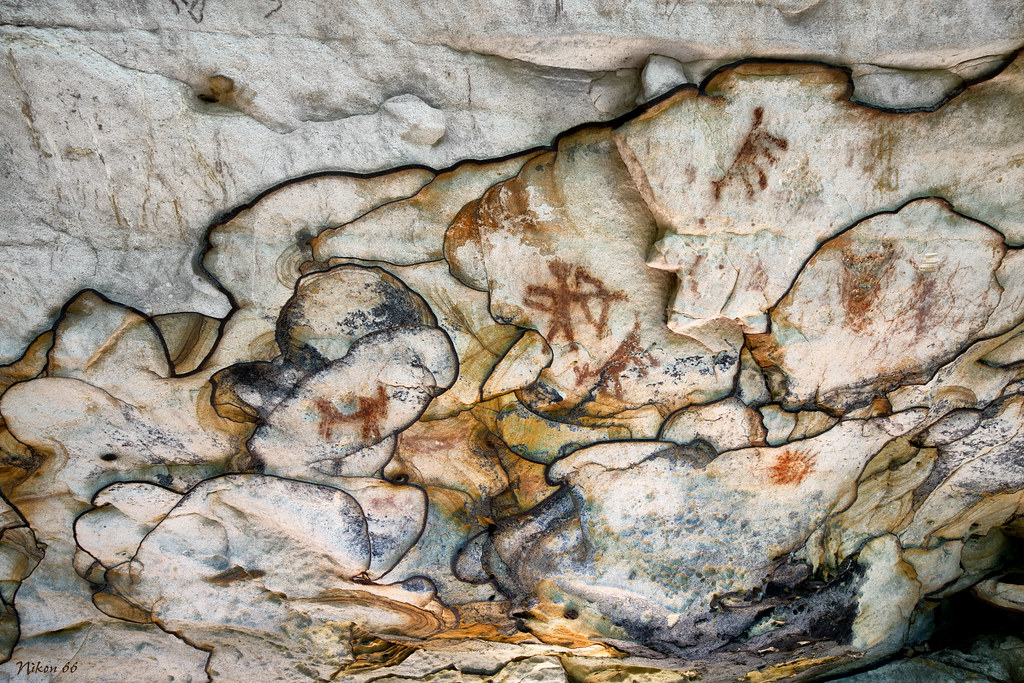
Pictographs and Liesegang Bands - Piney Creek Ravine State Natural Area
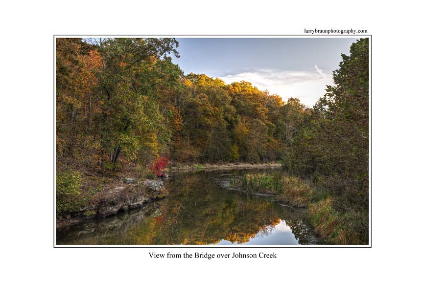
Bridge over Johnson Creek
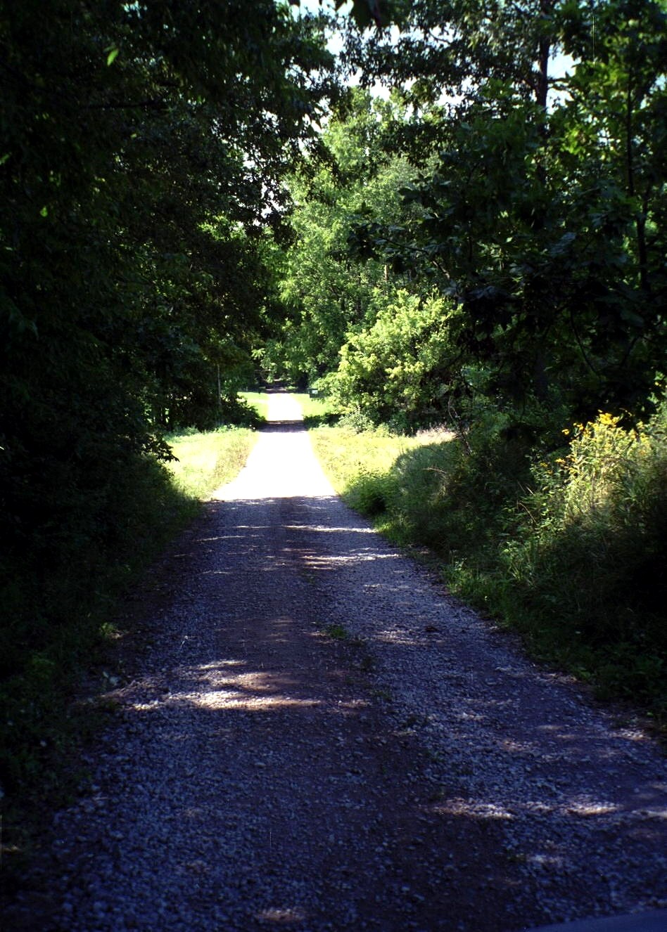
476596N Rohlfing Road
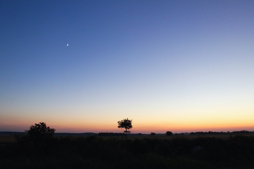
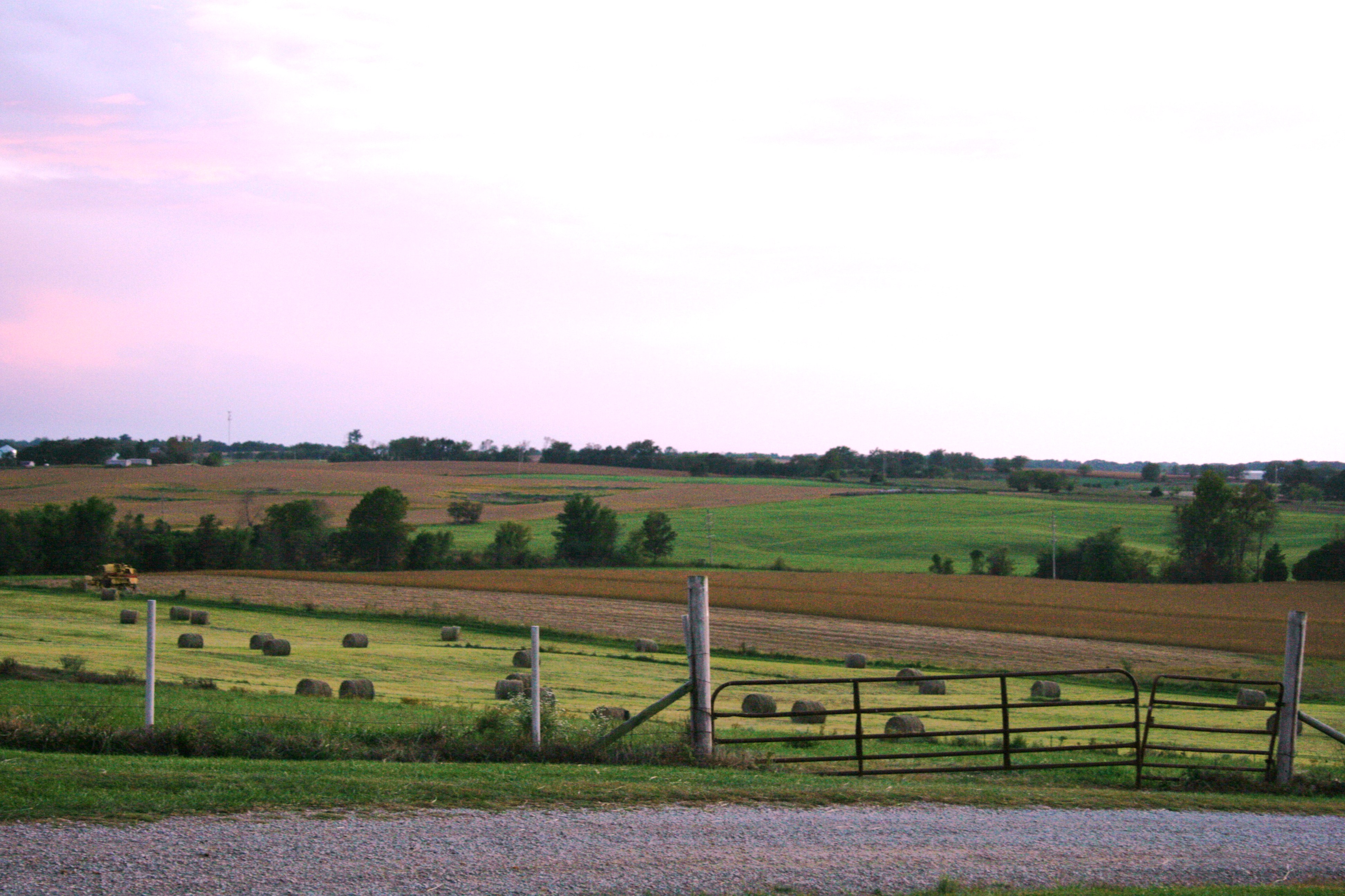
Raddle, IL Sunset
Fort De Chartres 2013-214
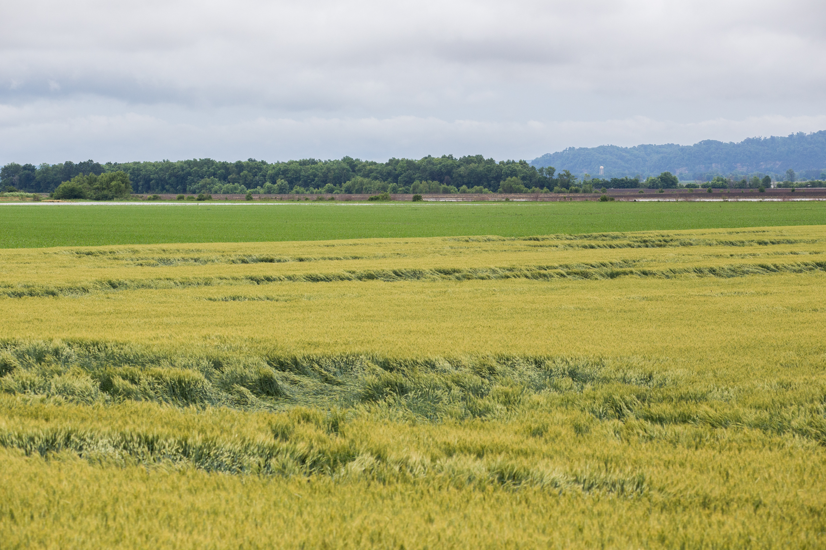
Southern Illinois Farm
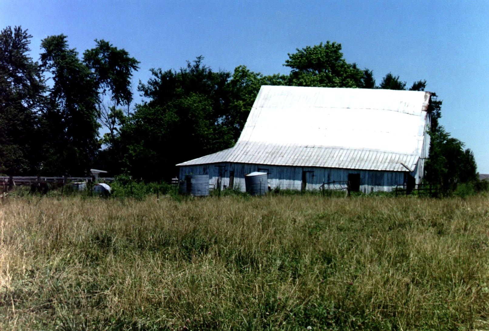
Barn in Illinois
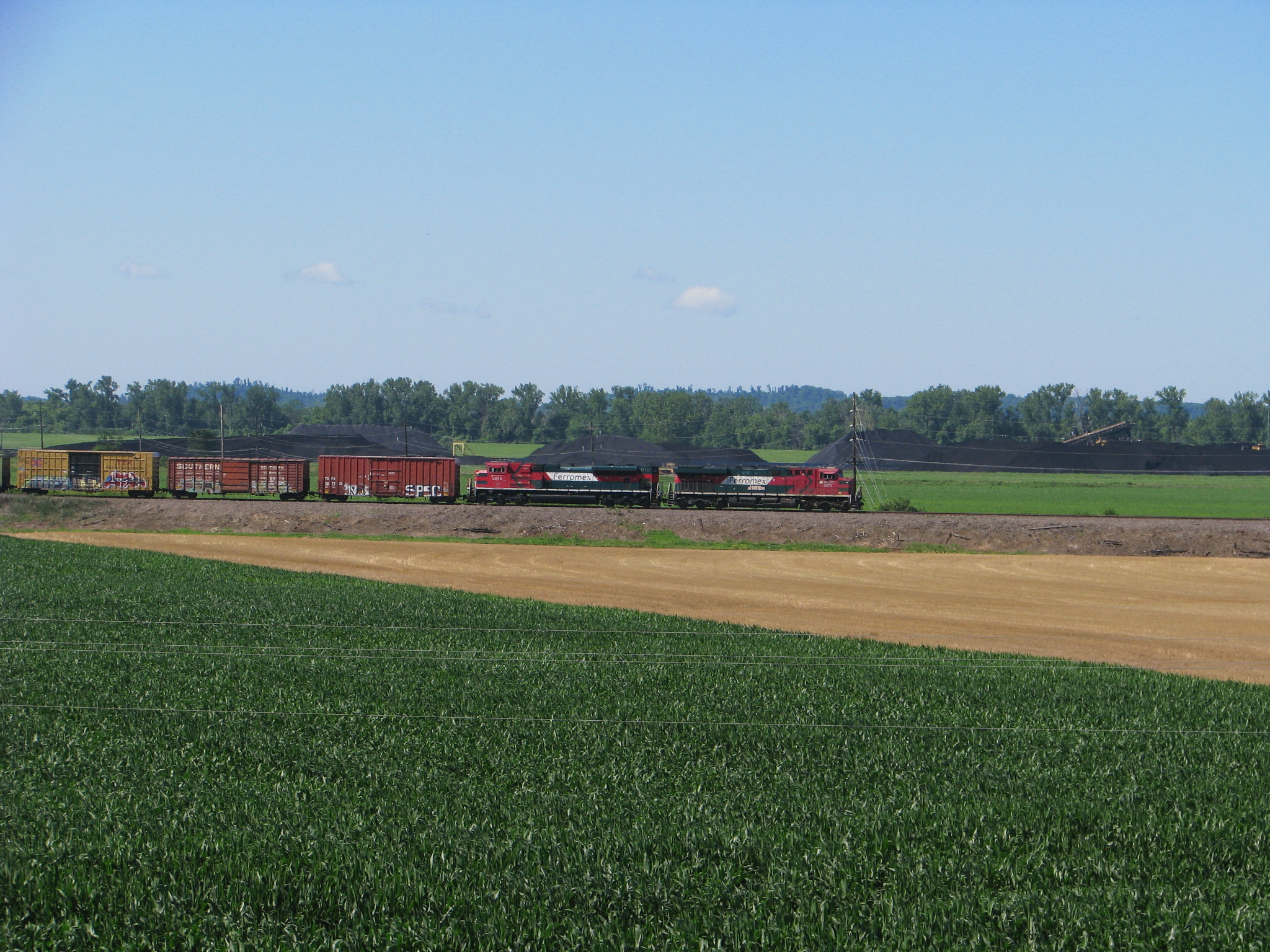
FXE 4673
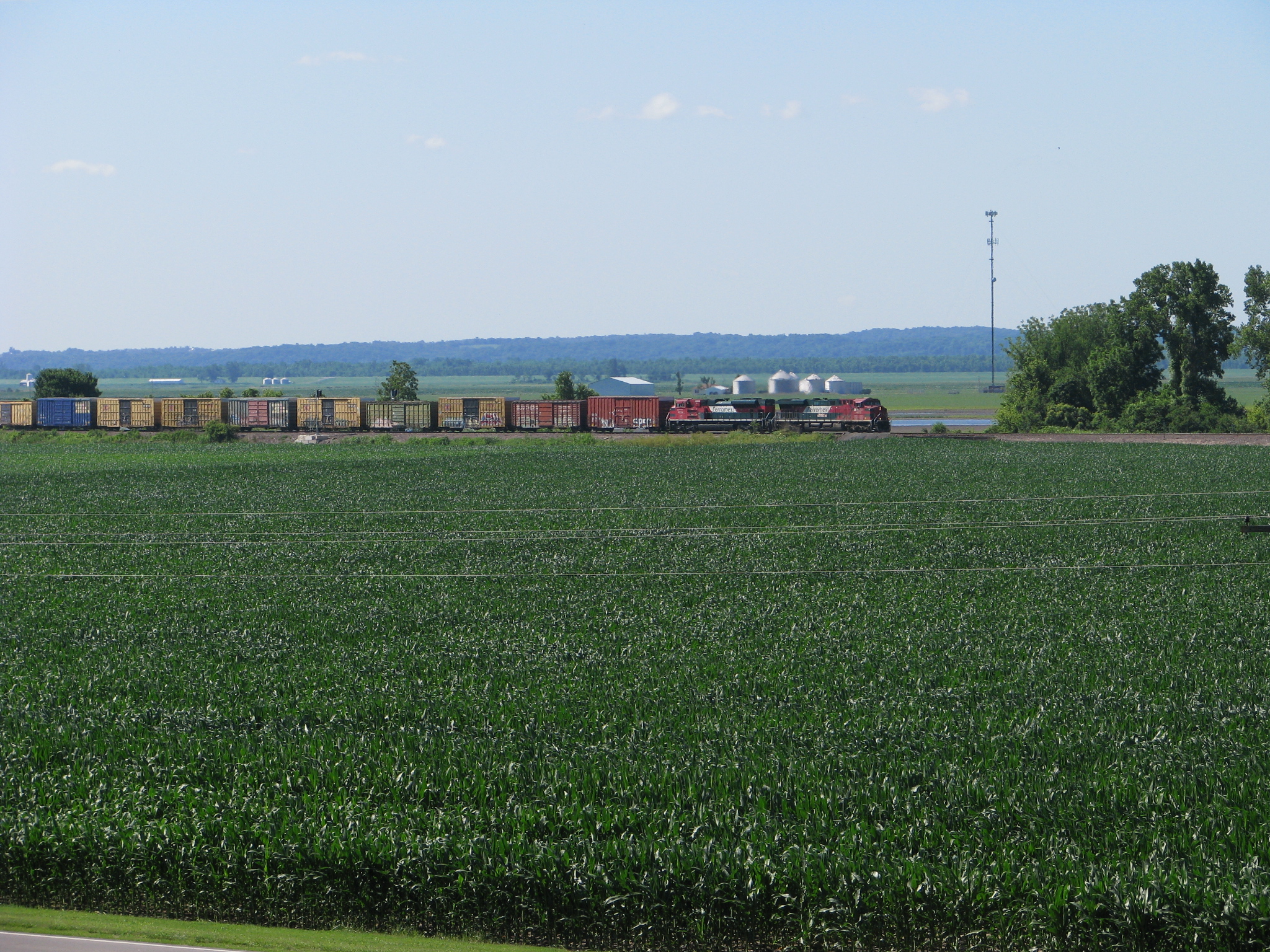
FXE 4673
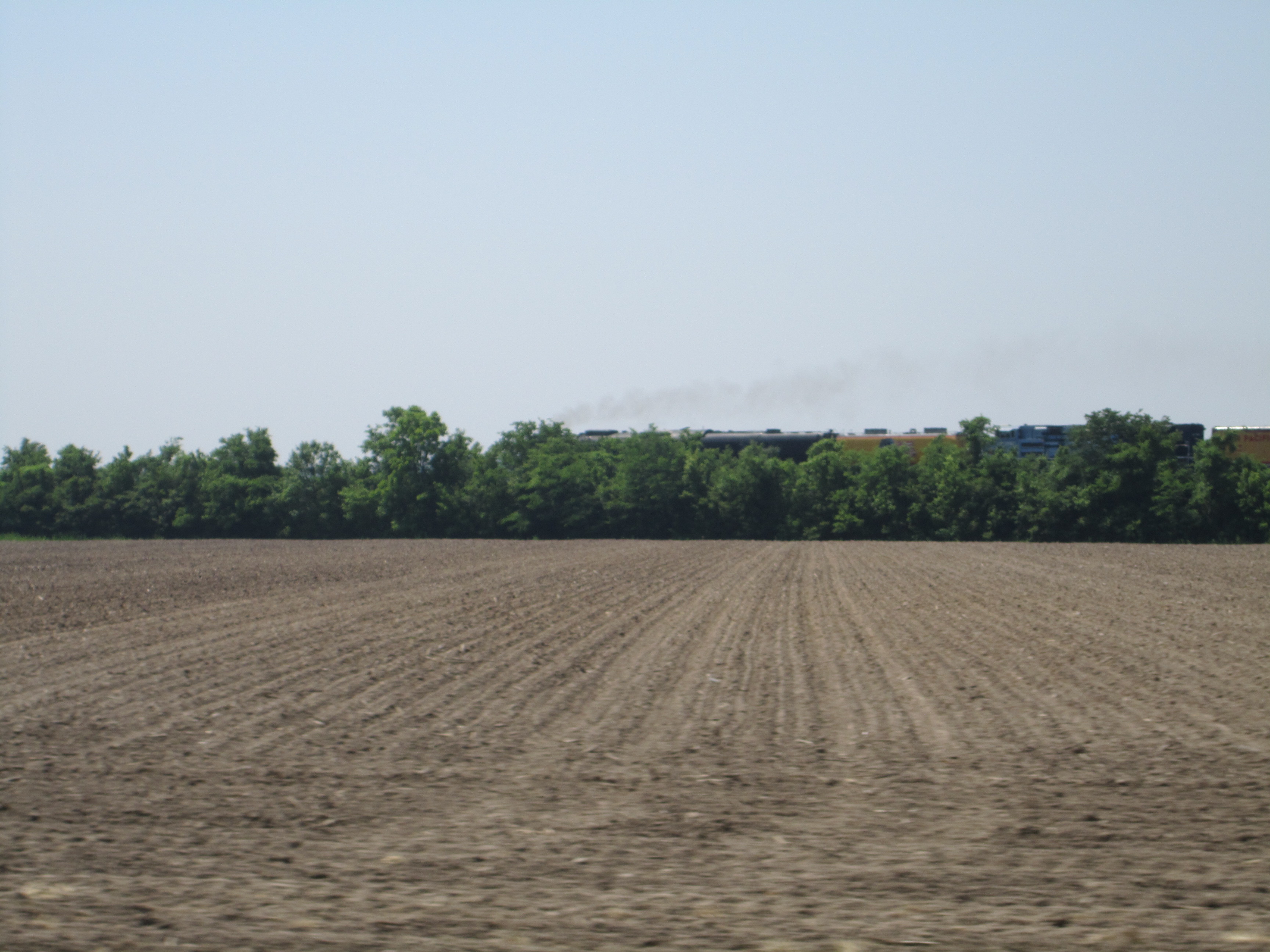
No. 844
Topographic Map of Bradley Township, IL, USA
Find elevation by address:

Places in Bradley Township, IL, USA:
Places near Bradley Township, IL, USA:
Ava
S 5th St, Ava, IL, USA
1279 Sharp Rock Rd
Rockwood Precinct
381 Il-151
381 Il-151
172 Cub Ln
Wine Hill Rd, Steeleville, IL, USA
Rockwood
Ora Township
IL-3, Rockwood, IL, USA
Bremen Precinct
46 Kincaid Hill Ln
49 Kincaid Hill Ln
Gorham
Washington St, Gorham, IL, USA
2500 Il-3
2500 Il-3
2550 Il-3
2400 Il-3
Recent Searches:
- Elevation of 7 Waterfall Way, Tomball, TX, USA
- Elevation of SW 57th Ave, Portland, OR, USA
- Elevation of Crocker Dr, Vacaville, CA, USA
- Elevation of Pu Ngaol Community Meeting Hall, HWHM+3X7, Krong Saen Monourom, Cambodia
- Elevation of Royal Ontario Museum, Queens Park, Toronto, ON M5S 2C6, Canada
- Elevation of Groblershoop, South Africa
- Elevation of Power Generation Enterprises | Industrial Diesel Generators, Oak Ave, Canyon Country, CA, USA
- Elevation of Chesaw Rd, Oroville, WA, USA
- Elevation of N, Mt Pleasant, UT, USA
- Elevation of 6 Rue Jules Ferry, Beausoleil, France