Elevation of BR-, Sacramento - MG, -, Brazil
Location: Brazil > State Of Minas Gerais > Sacramento >
Longitude: -47.475543
Latitude: -19.619634
Elevation: 958m / 3143feet
Barometric Pressure: 90KPa
Elevation Map:
Satellite Map:
Related Photos:
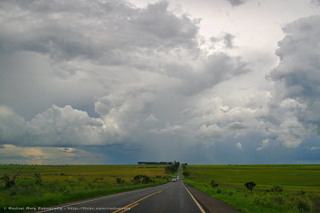
BR-262
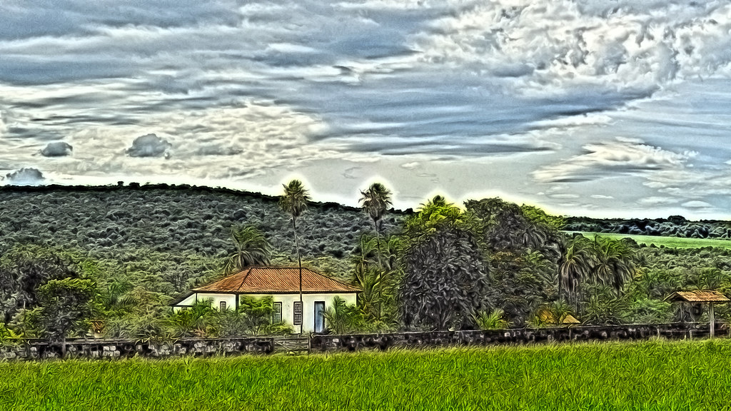
Old farm (digital paint)
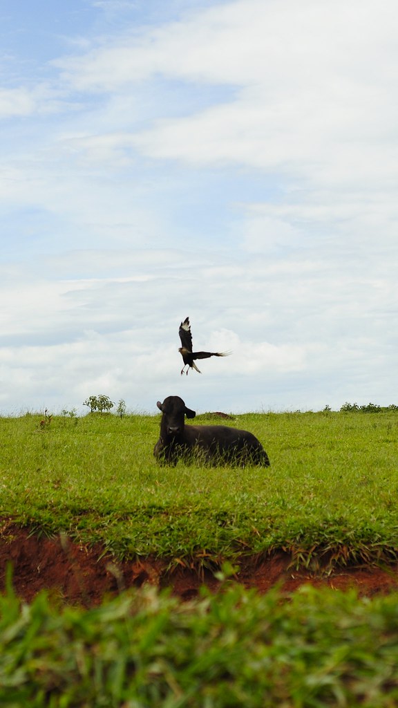
Gavião / Hawk
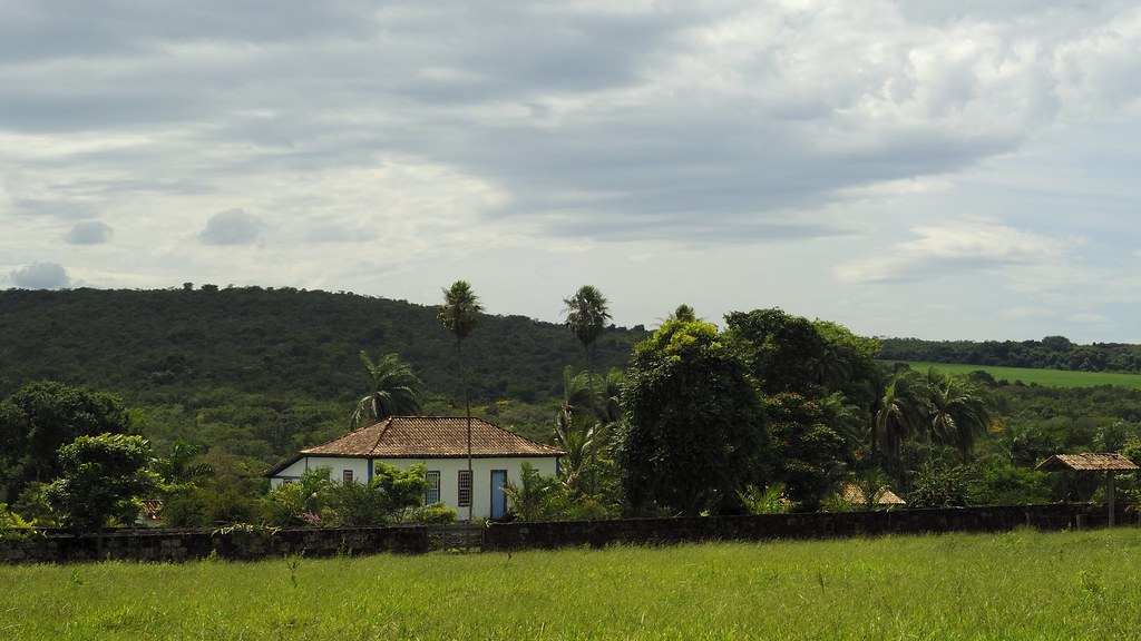
Old farm (original)

Tiborna's road
Topographic Map of BR-, Sacramento - MG, -, Brazil
Find elevation by address:

Places near BR-, Sacramento - MG, -, Brazil:
Santa Juliana
R. José Goularte, - Nossa Sra. das Dores, Santa Juliana - MG, -, Brazil
Nossa Senhora Das Dores
Serra Do Salitre
Chapada Das Perdizes
Recent Searches:
- Elevation of Sieveringer Straße, Sieveringer Str., Wien, Austria
- Elevation of Bratskaya Ulitsa, 24, Kurgan, Kurganskaya oblast', Russia
- Elevation of Paradisvegen, Biri, Norway
- Elevation of Crystal Cir, Birmingham, AL, USA
- Elevation of N Railroad Ave, West Palm Beach, FL, USA
- Elevation of 55 Cassick Valley Rd, Wellfleet, MA, USA
- Elevation of Ironwood Dr, Minden, NV, USA
- Elevation of 高尾山口駅, Takaomachi, Hachioji, Tokyo -, Japan
- Elevation of 15 Victory Ave, Greenville, SC, USA
- Elevation of Kota Ternate Utara, Ternate City, North Maluku, Indonesia