Elevation of Bowling Green Rd E, Bradner, OH, USA
Location: United States > Ohio > Wood County >
Longitude: -83.424999
Latitude: 41.342097
Elevation: 205m / 673feet
Barometric Pressure: 99KPa
Elevation Map:
Satellite Map:
Related Photos:

sunlit birch
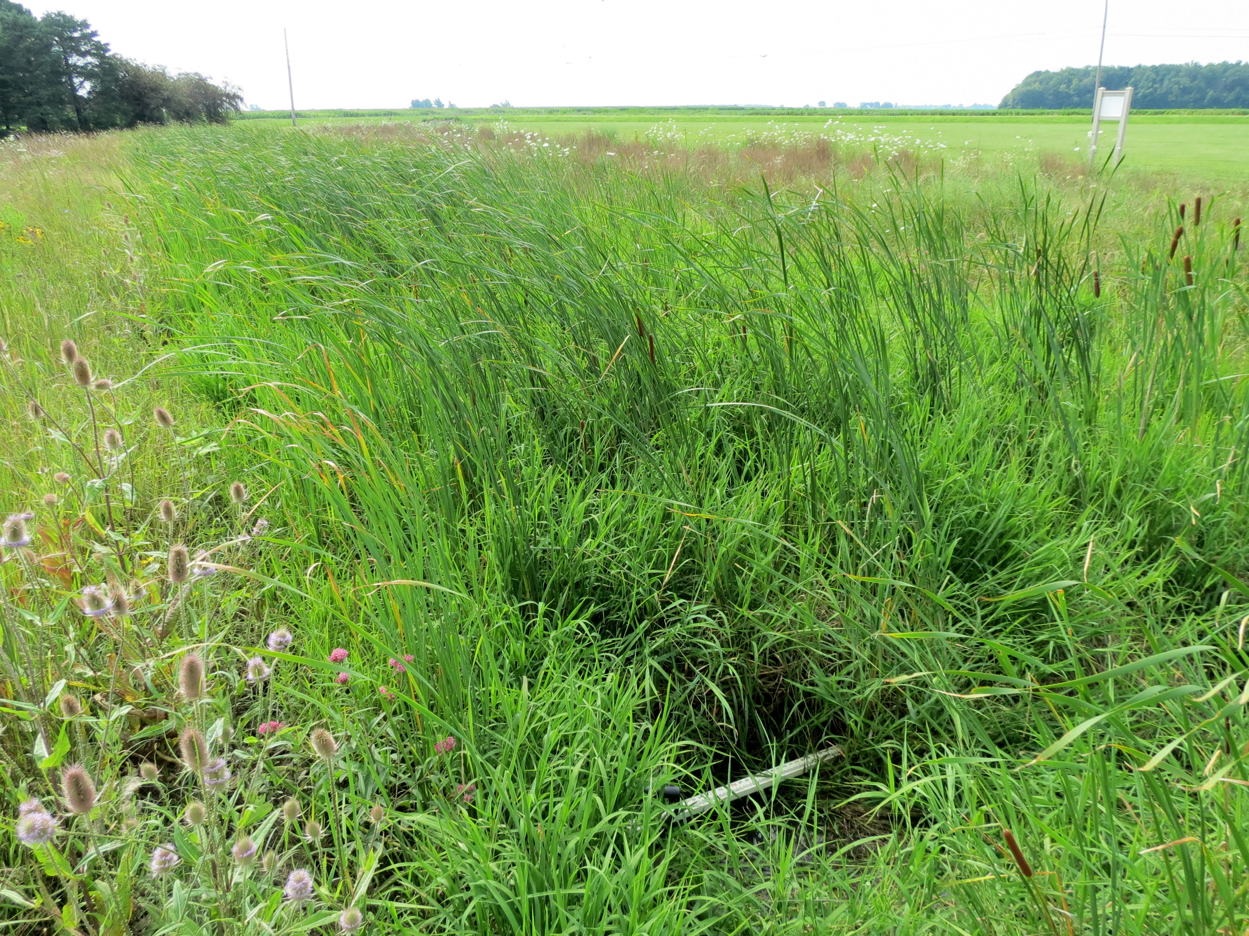
White Star Park

reflected roses
The Big Week

CSX Q264 @ Pemberville
Gibsonburg Ohio, Sandusky County OH
Q637 - Pemberville
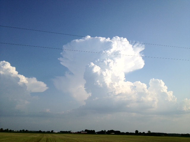
photo.JPG
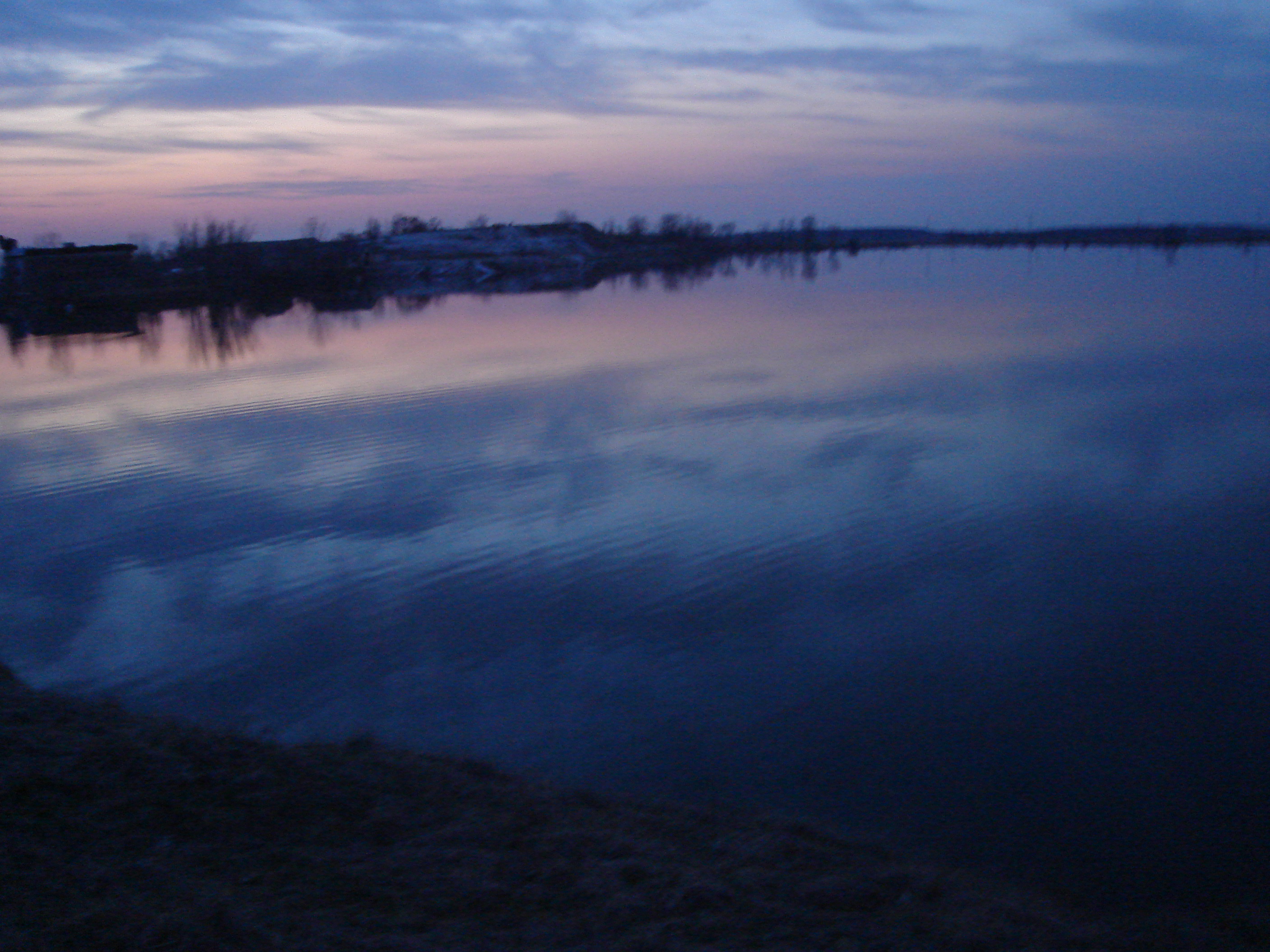
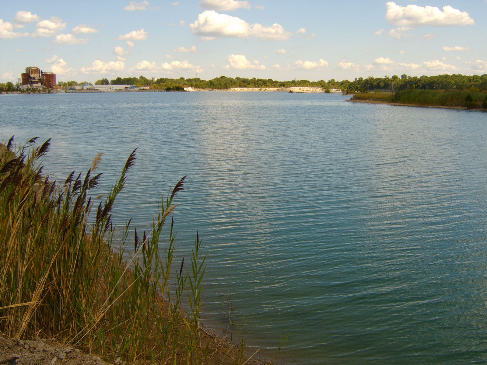
Sky meets Water
Holcomb woods - Amazing place! I like scary places *-* #Haunted place #Ohio

Year 1 2011-06-17 (g)

photo.JPG
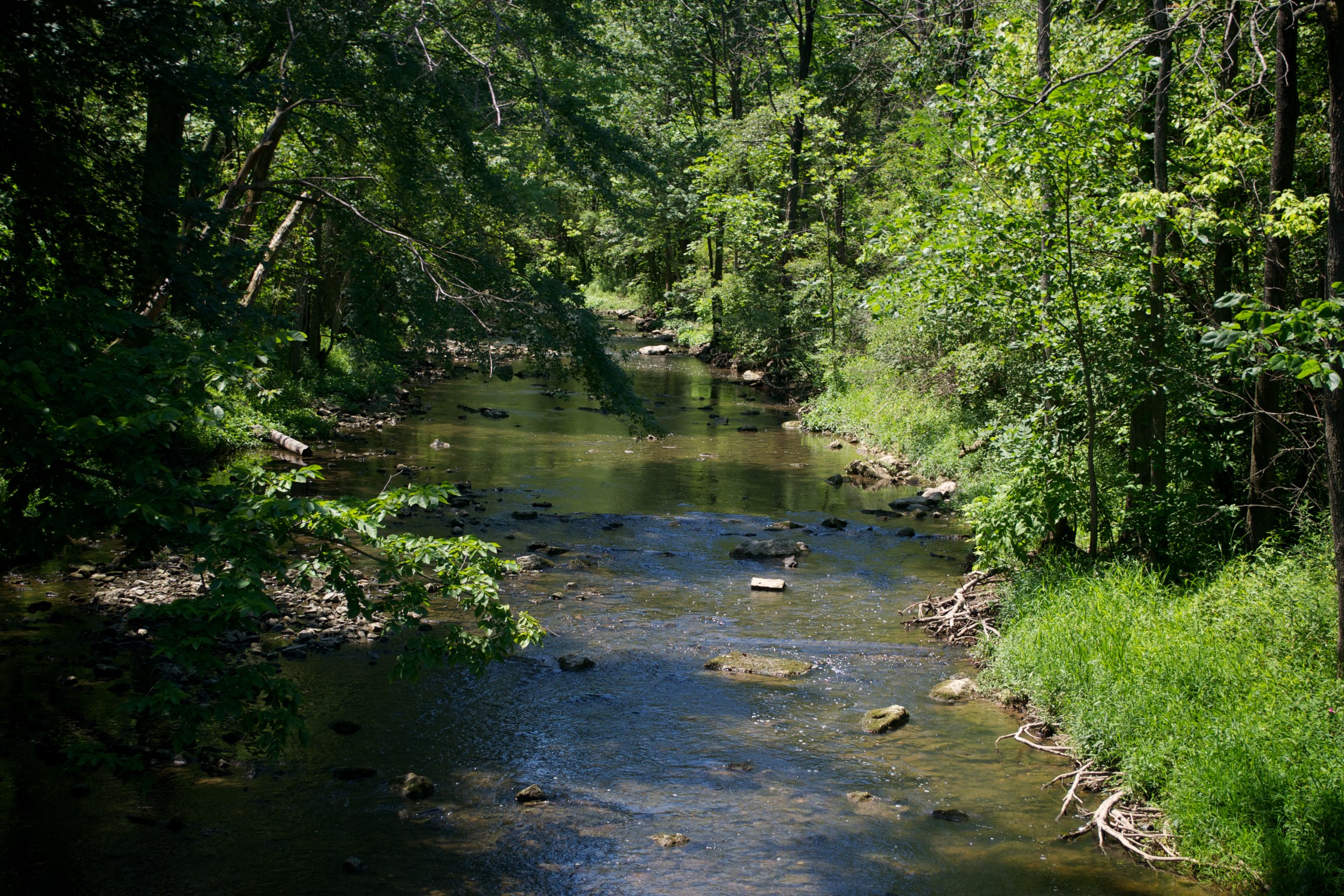
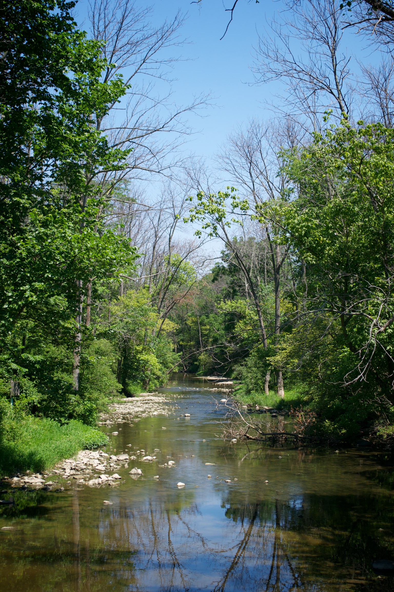
The Muddy Creek
Year 3 2013-06-29 (d)

Year 1 2011-06-17 (g)
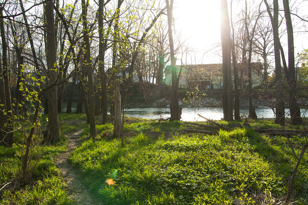
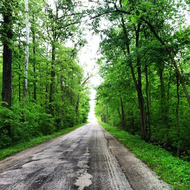
nice day walk-24
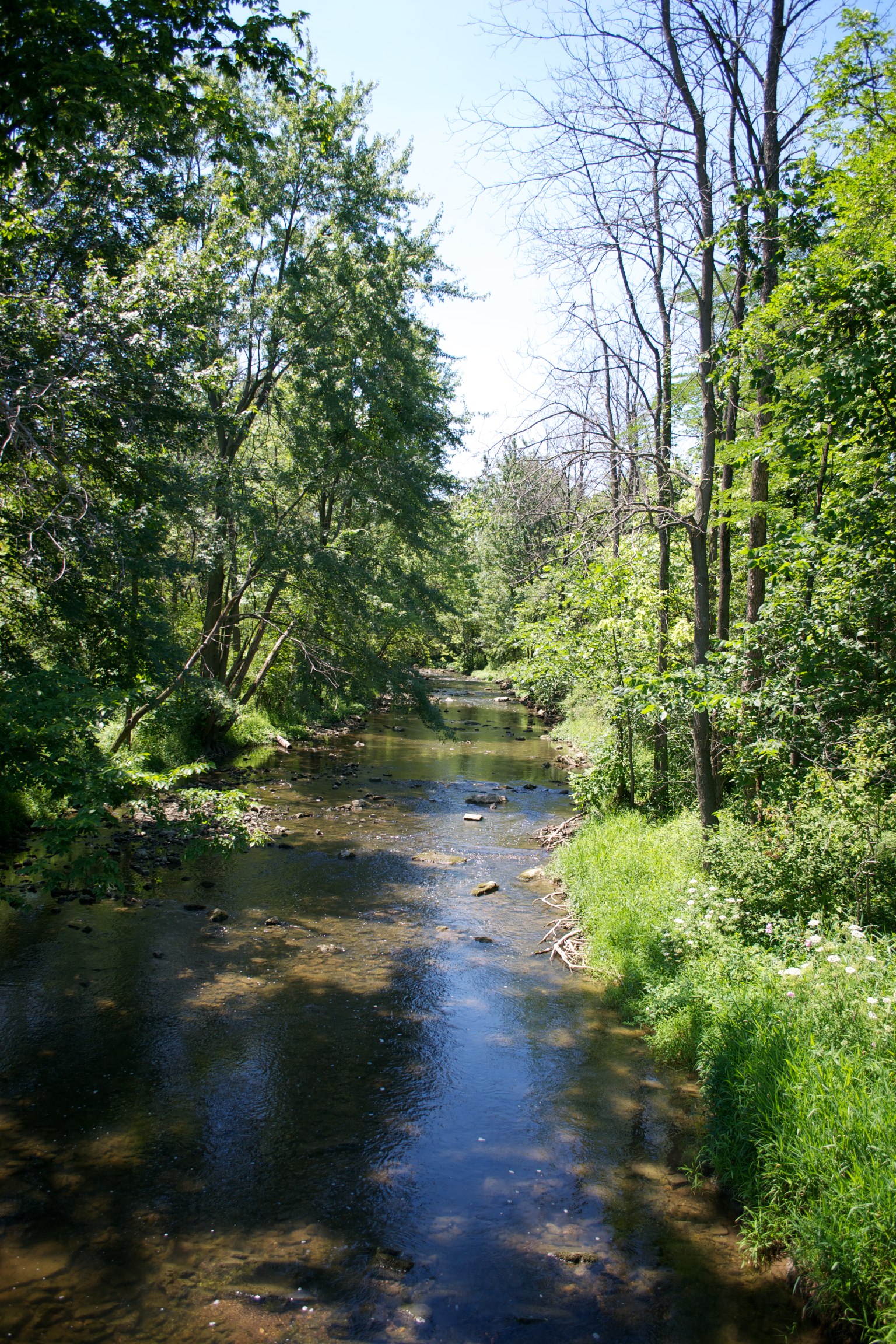
The Muddy Creek

Year 3 2013-06-29 (d)
The Muddy Creek
Gibsonburg, Ohio West Lake Park
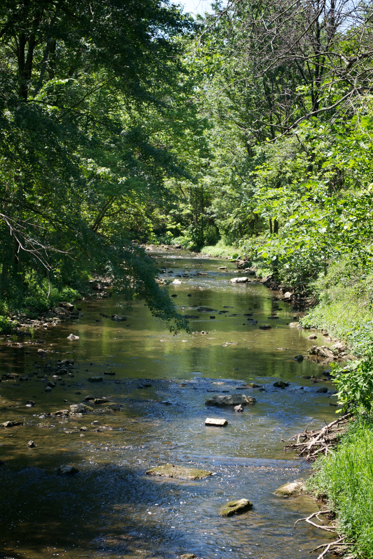
The Muddy Creek

Year 1 2011-06-17 (b)
20070929-161942

Year 2 2012-07-18 (c)
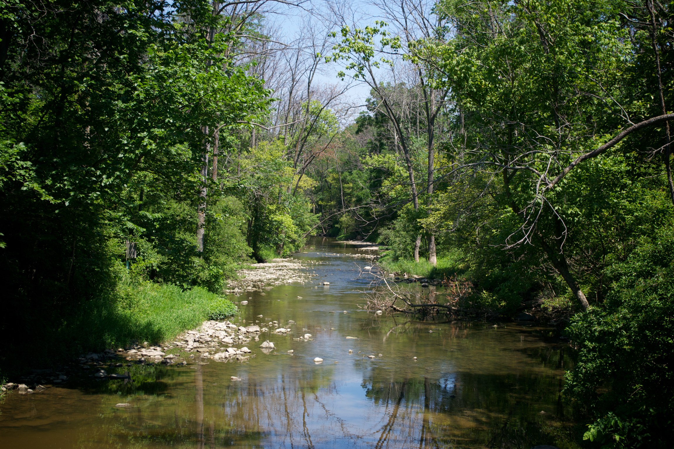
The Muddy Creek
Topographic Map of Bowling Green Rd E, Bradner, OH, USA
Find elevation by address:

Places near Bowling Green Rd E, Bradner, OH, USA:
119 N Bell St
Bradner
Plin St, Bradner, OH, USA
Freedom Township
Montgomery Township
Madison Township
7201 Co Rd 91
Pemberville
Perry St, Pemberville, OH, USA
4800 Rees Rd
Woodville Township
Gibsonburg
Woodville
Main St, Luckey, OH, USA
Troy Township
Cloverdale Rd, Bowling Green, OH, USA
Center Township
Bgsu Ice Arena
11854 Newton Rd
Dowling Rd, Bowling Green, OH, USA
Recent Searches:
- Elevation of Chesaw Rd, Oroville, WA, USA
- Elevation of N, Mt Pleasant, UT, USA
- Elevation of 6 Rue Jules Ferry, Beausoleil, France
- Elevation of Sattva Horizon, 4JC6+G9P, Vinayak Nagar, Kattigenahalli, Bengaluru, Karnataka, India
- Elevation of Great Brook Sports, Gold Star Hwy, Groton, CT, USA
- Elevation of 10 Mountain Laurels Dr, Nashua, NH, USA
- Elevation of 16 Gilboa Ln, Nashua, NH, USA
- Elevation of Laurel Rd, Townsend, TN, USA
- Elevation of 3 Nestling Wood Dr, Long Valley, NJ, USA
- Elevation of Ilungu, Tanzania