Elevation of Bourth, France
Location: France > Normandy > Eure >
Longitude: 0.8096179
Latitude: 48.769377
Elevation: 194m / 636feet
Barometric Pressure: 99KPa
Elevation Map:
Satellite Map:
Related Photos:
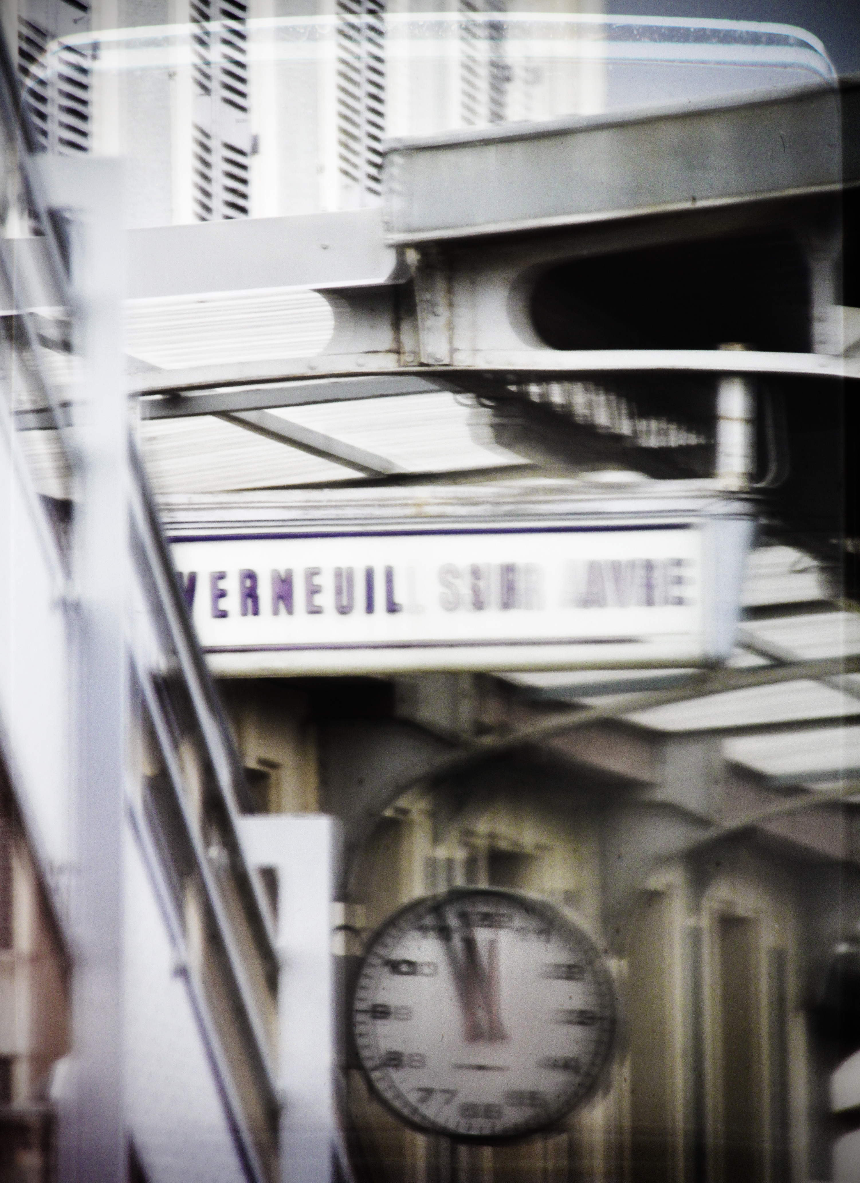
Vermeuil sur Avie station - from the train

l'Aigle station - from the train
100_1880.JPG
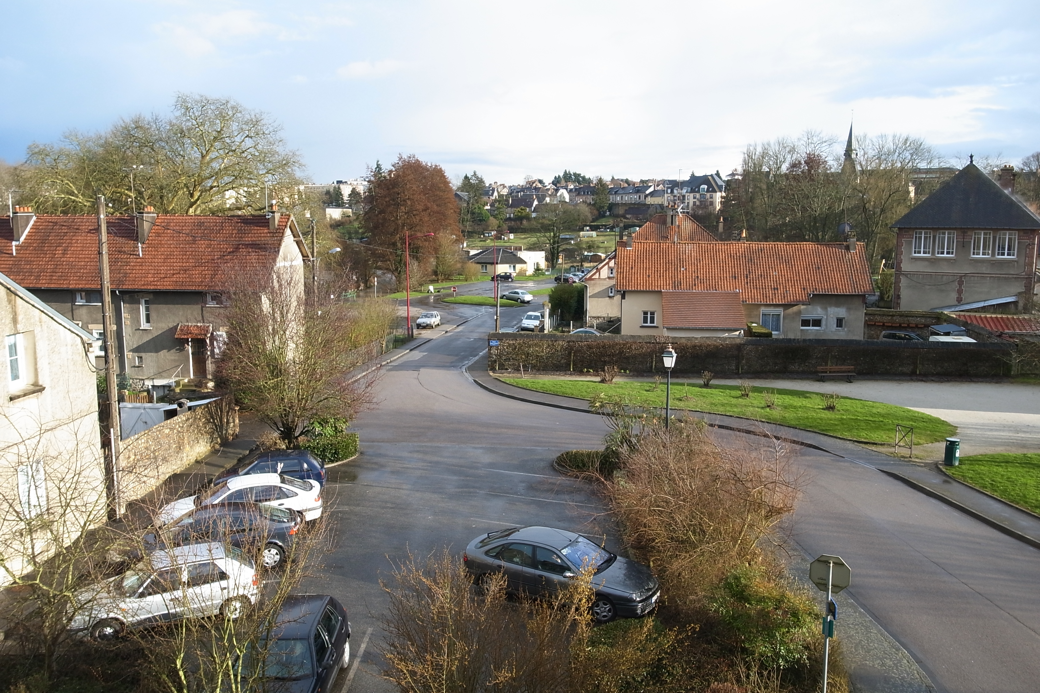
view from my hotel window
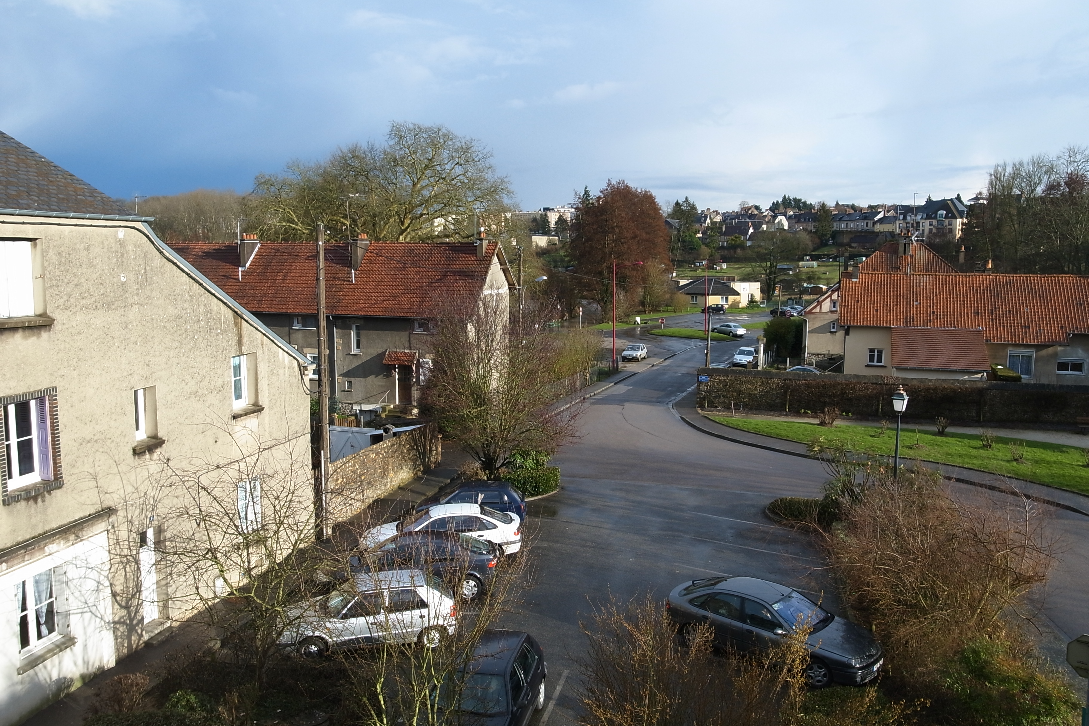
view from my hotel window
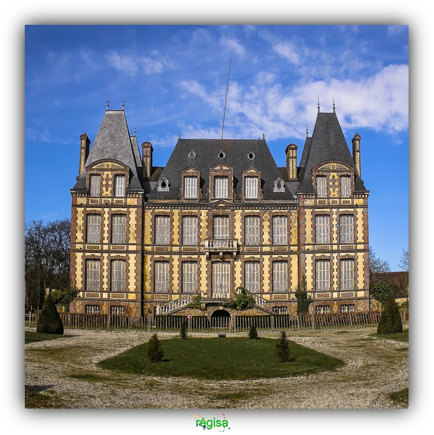
ChÂTEAU DE LA PUISAYE à VERNEUIL-SUR-AVRE
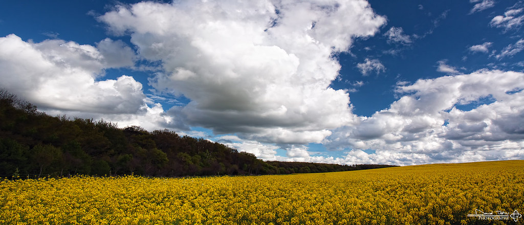
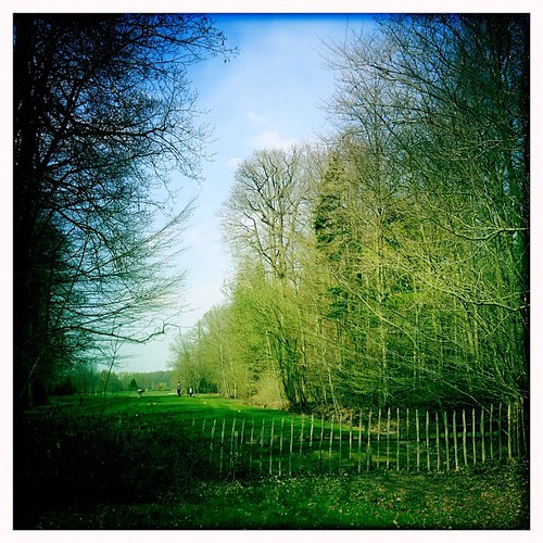
Ambiance printanière #CultivatedLandscape
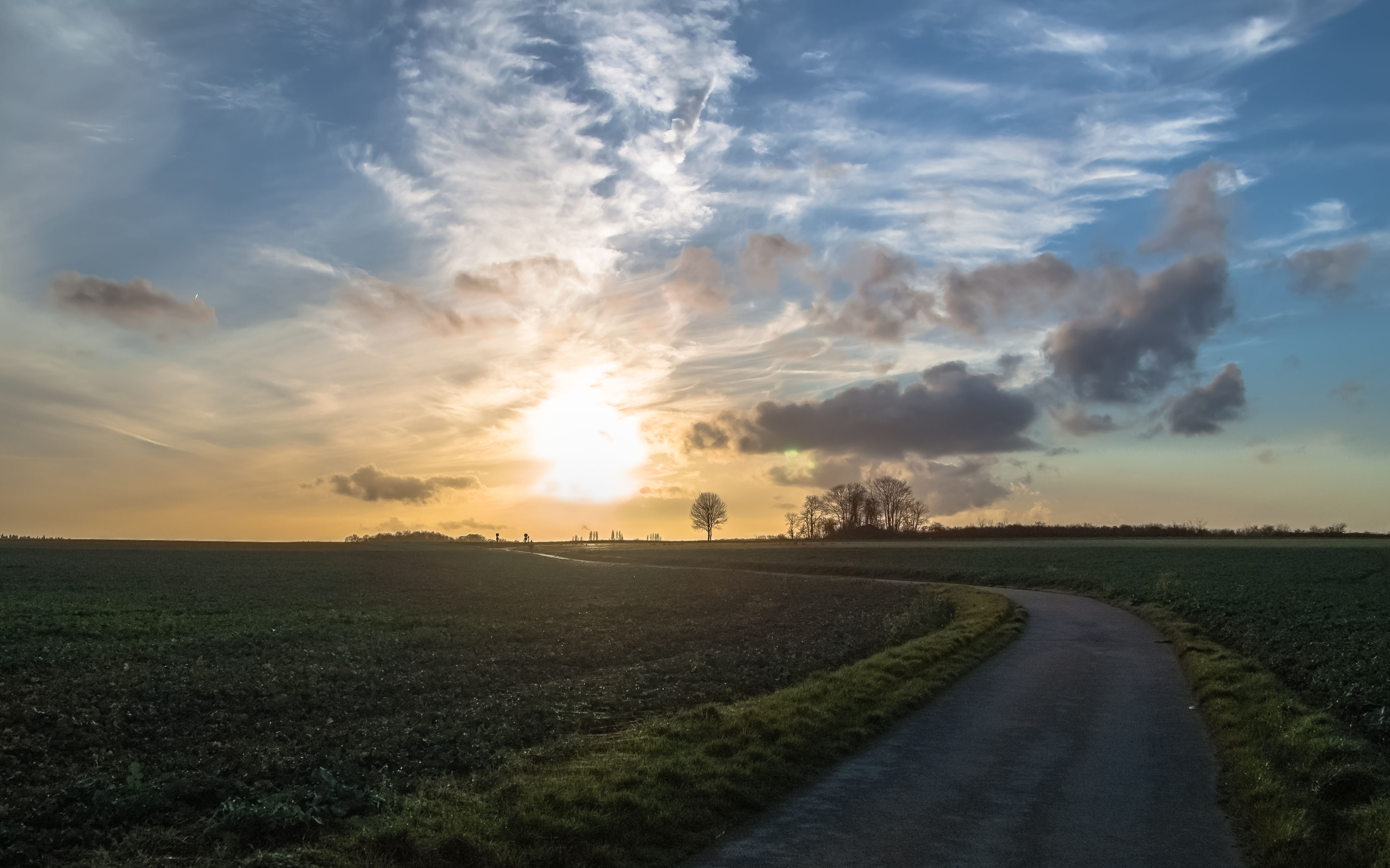
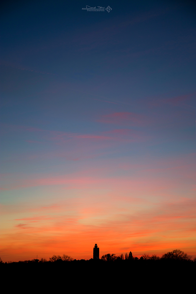
Road to the sunset

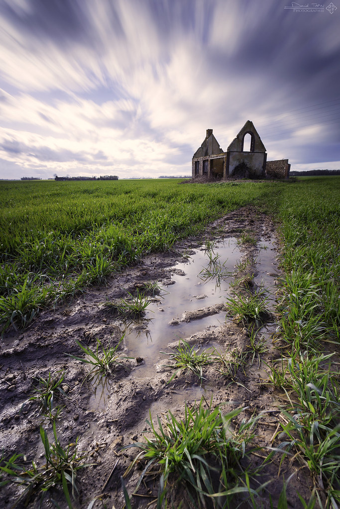
I no longer need to move forward
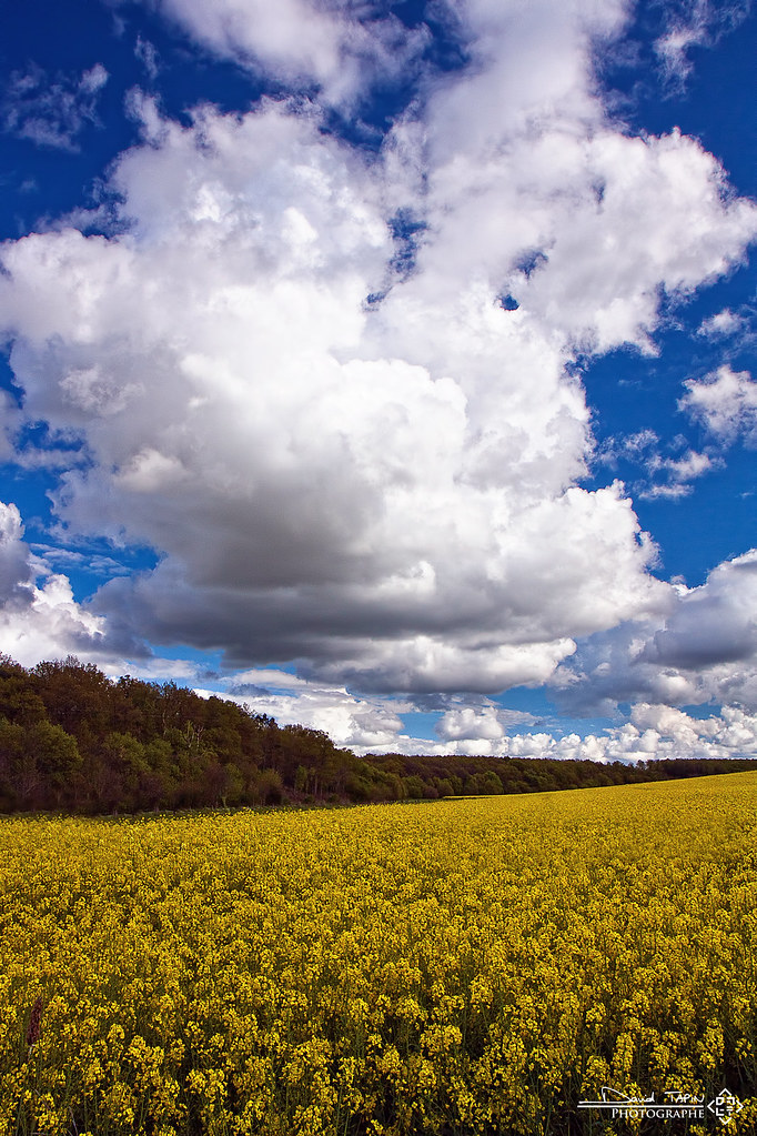
Ambiance printanière II
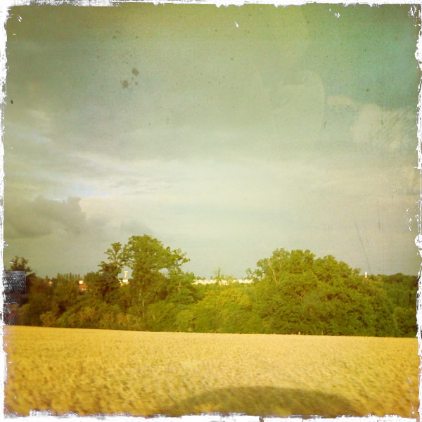
car shadow on field
Center Parcs.
Dégradé

Blé
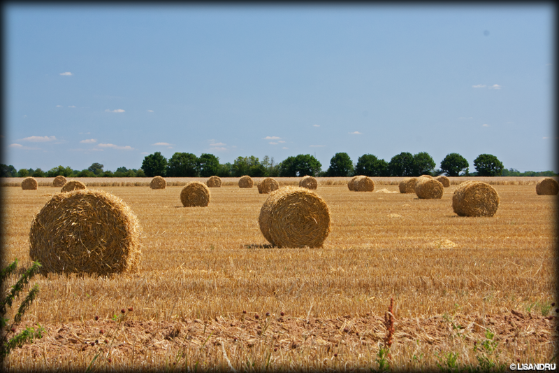
Ballots de paille

MX5 NA Château de Breteuil
Rural exodus

MX5 NA environs du Château de Breteuil

Mare aux Canards

Out in the night

The night in the cottage
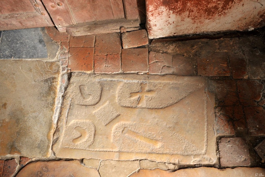
Pierre gravée - Eglise de Boissy-lès-Perche - Eure-et-Loir
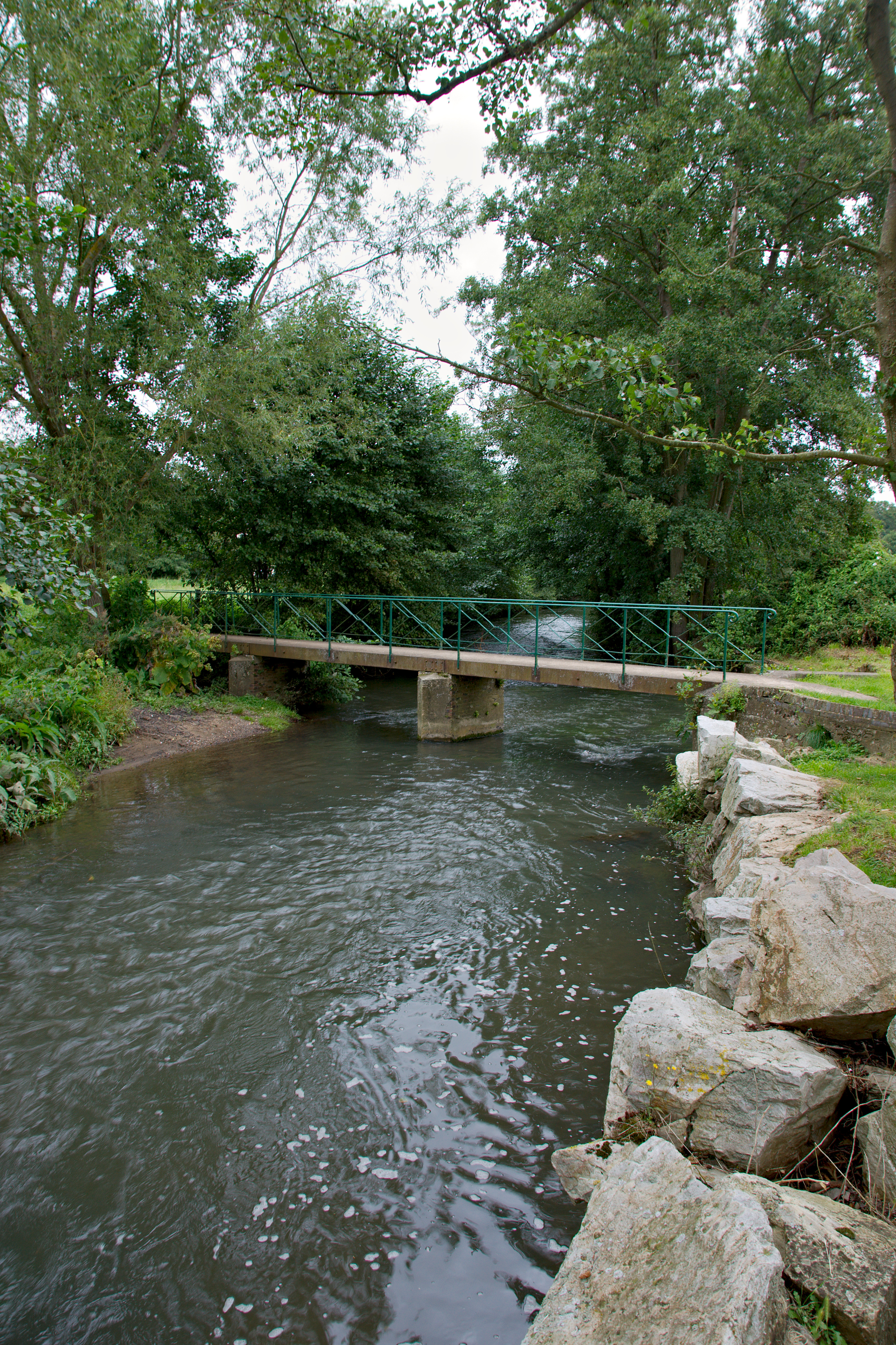
Passerelle sur l’Iton
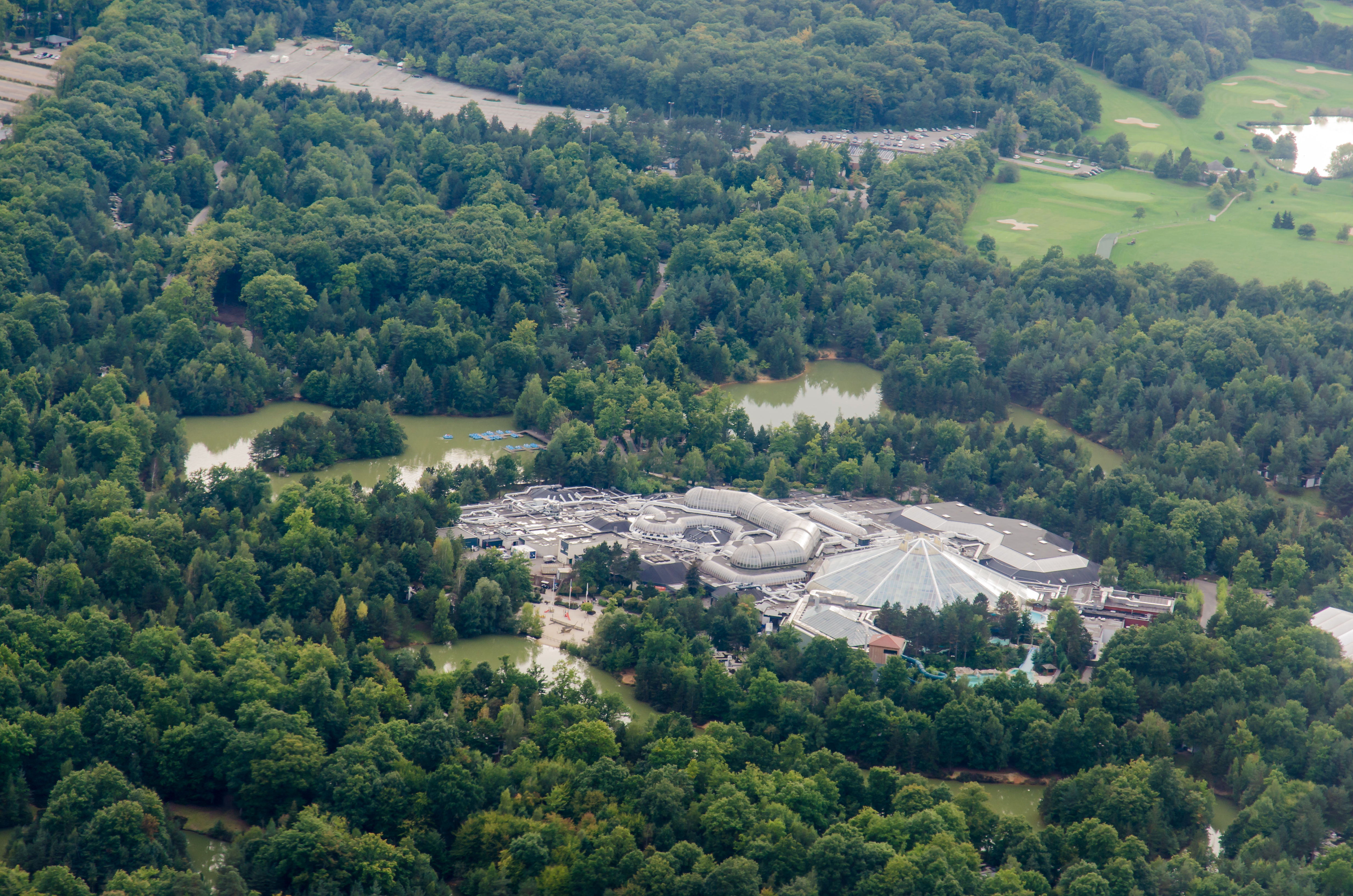
Center Parc Bois-Francs

Out in the night
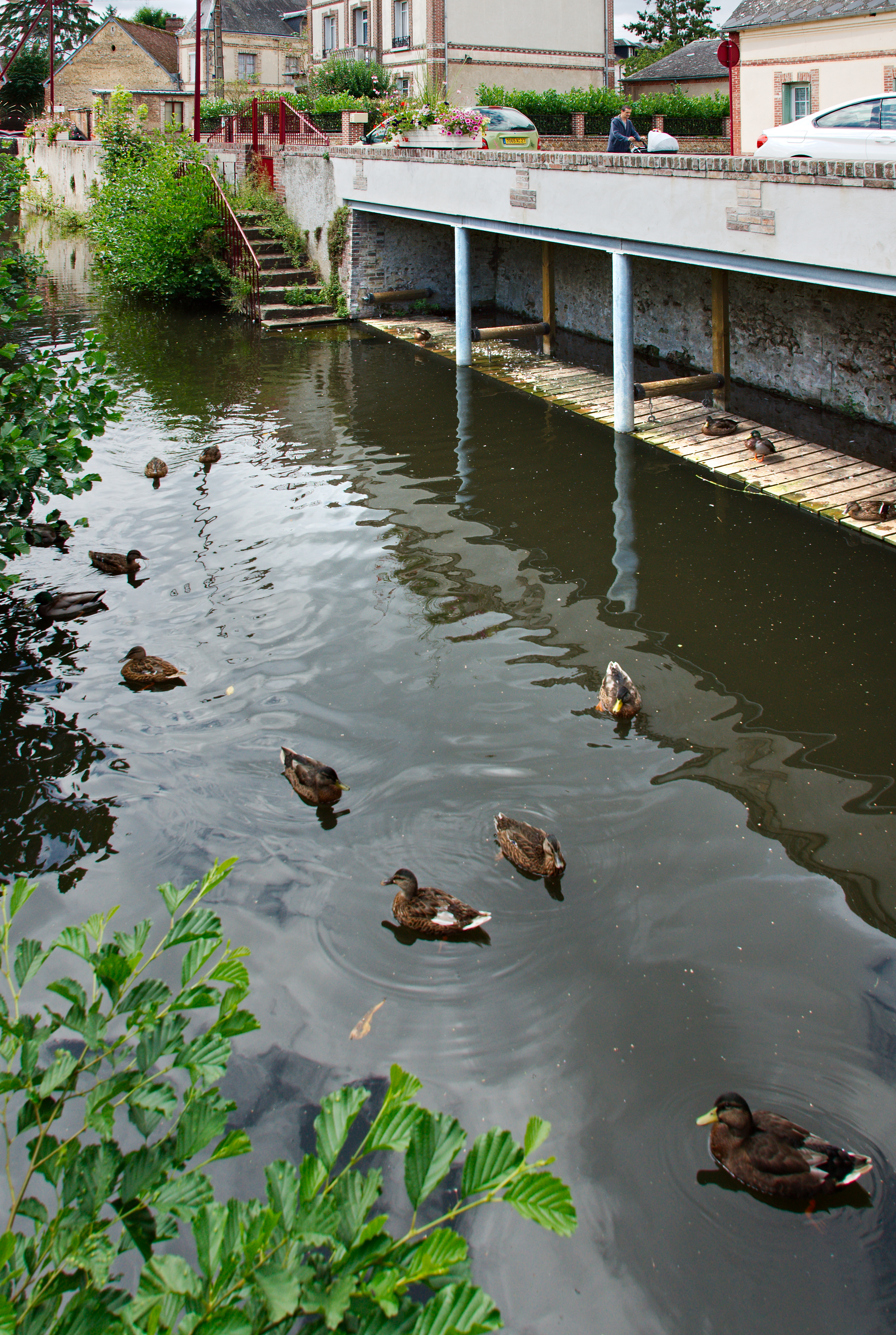
Canards de Breteuil-sur-Iton

Riviere, Rugles, France
Topographic Map of Bourth, France
Find elevation by address:

Places in Bourth, France:
Places near Bourth, France:
4 Avenue du Monument, Bourth, France
Francheville
1 Chemin du Tremblay, Francheville, France
3 Rue Nathalie, La Ferté-Vidame, France
La Ferté-vidame
La Puisaye
30 Rue du Vieux Puits, Collandres-Quincarnon, France
Collandres-quincarnon
Le Fresne
3 Rue de l'Église, Le Fresne, France
Faverolles-la-campagne
Bivilliers
2 Rue du Bois Robin, Faverolles-la-Campagne, France
1 Rue des Moissons, Portes, France
La Terrine
Saint-aubin-le-guichard
51 Rue Mazot, Saint-Aubin-le-Guichard, France
12 Route des Authieux, Émanville, France
Portes
10 Rue de la Garenne, Portes, France
Recent Searches:
- Elevation of Congressional Dr, Stevensville, MD, USA
- Elevation of Bellview Rd, McLean, VA, USA
- Elevation of Stage Island Rd, Chatham, MA, USA
- Elevation of Shibuya Scramble Crossing, 21 Udagawacho, Shibuya City, Tokyo -, Japan
- Elevation of Jadagoniai, Kaunas District Municipality, Lithuania
- Elevation of Pagonija rock, Kranto 7-oji g. 8"N, Kaunas, Lithuania
- Elevation of Co Rd 87, Jamestown, CO, USA
- Elevation of Tenjo, Cundinamarca, Colombia
- Elevation of Côte-des-Neiges, Montreal, QC H4A 3J6, Canada
- Elevation of Bobcat Dr, Helena, MT, USA