Elevation of Boulder, UT, USA
Location: United States > Utah > Garfield County >
Longitude: -111.43951
Latitude: 37.9220877
Elevation: 2052m / 6732feet
Barometric Pressure: 79KPa
Elevation Map:
Satellite Map:
Related Photos:
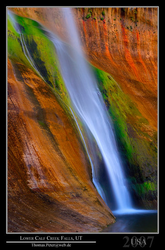
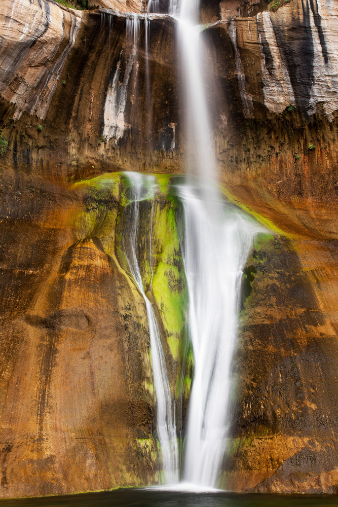
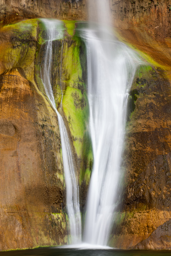
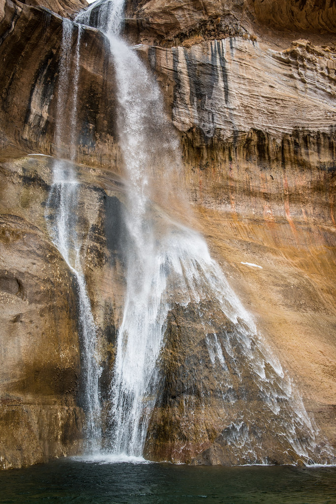
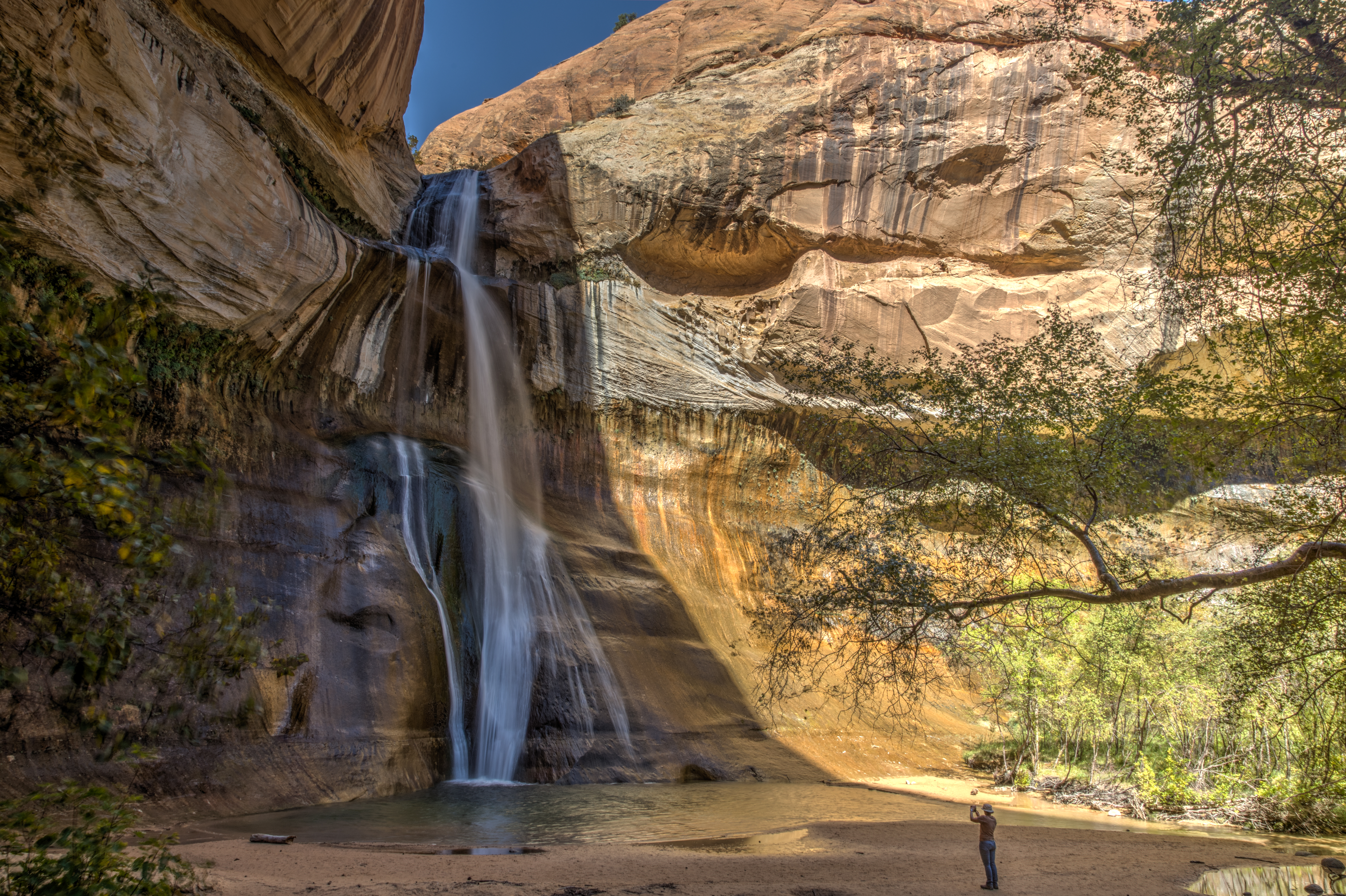
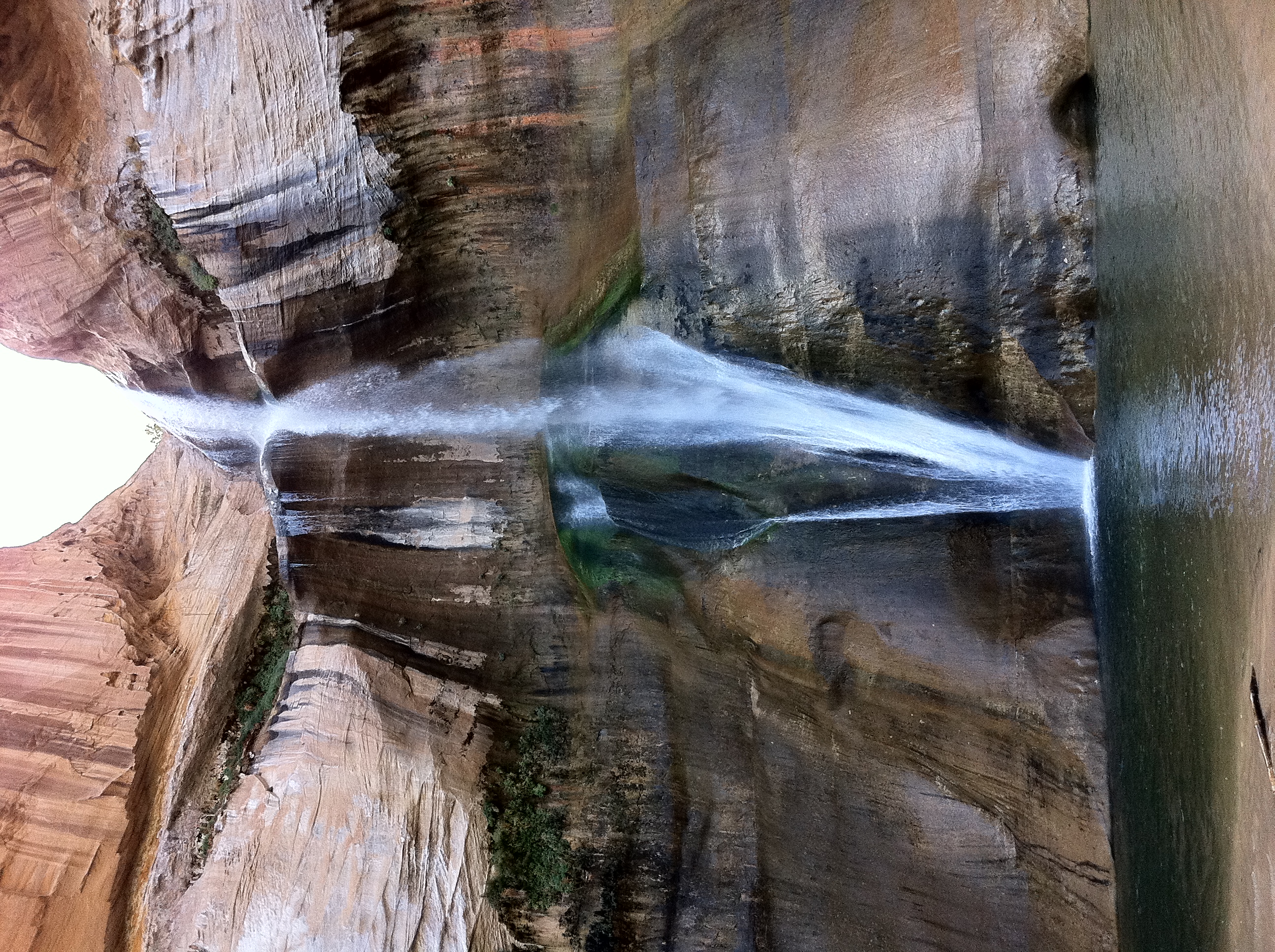
Lower Calf Creek Falls, UT
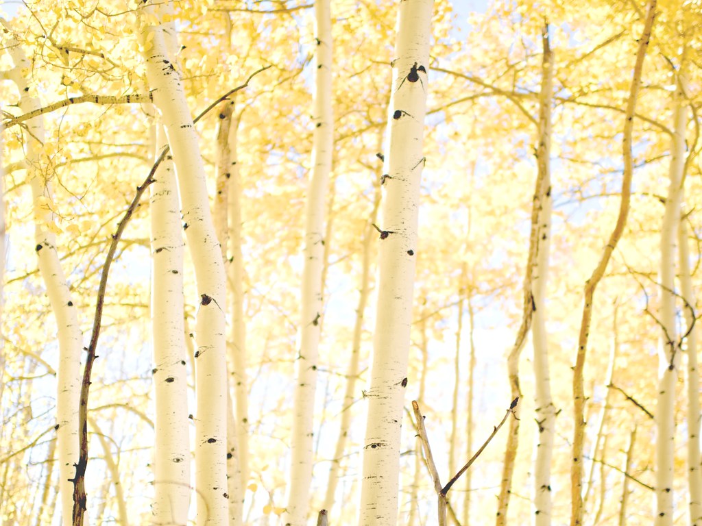
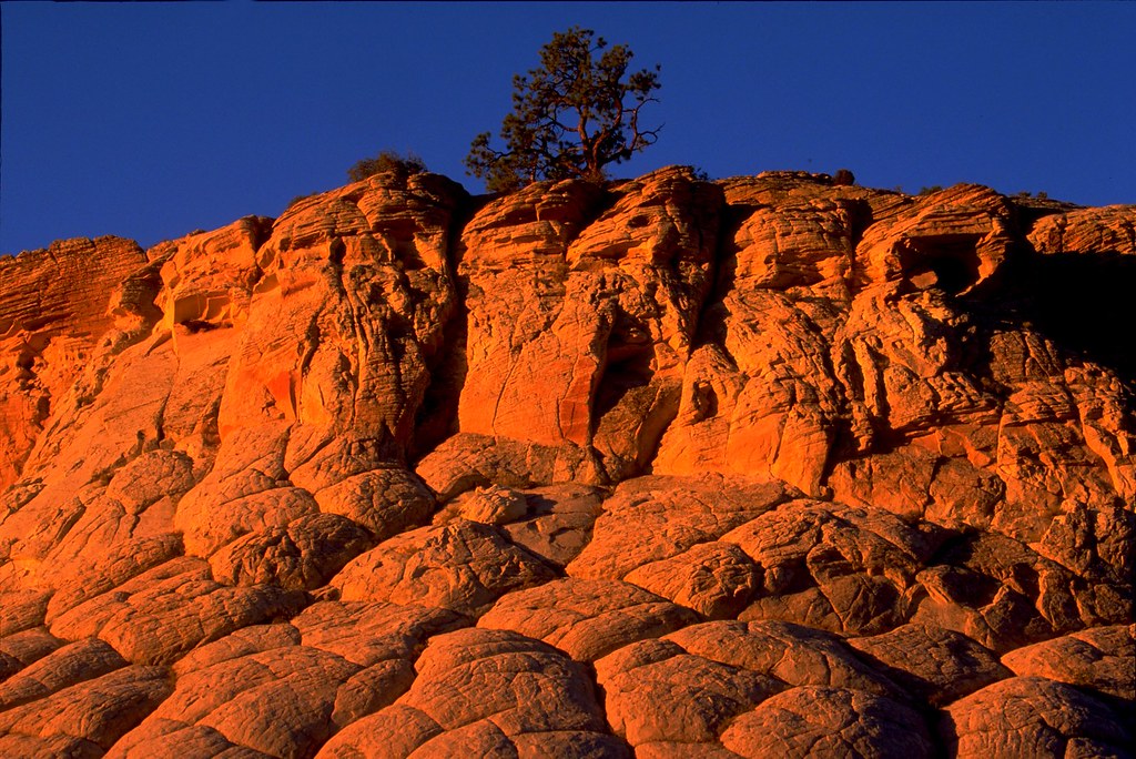
Aspen Glow
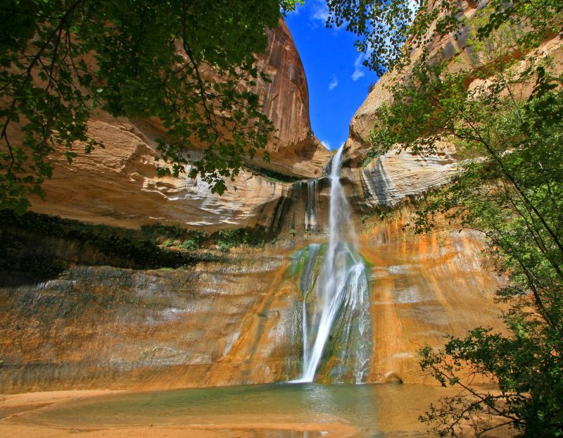
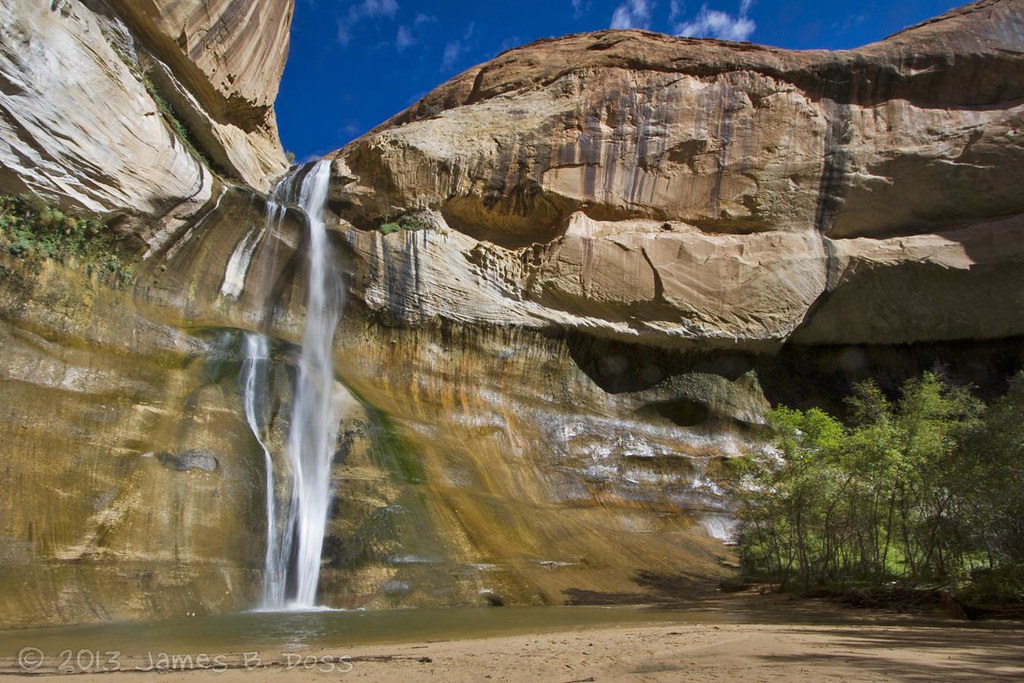
Lower Calf Creek Falls
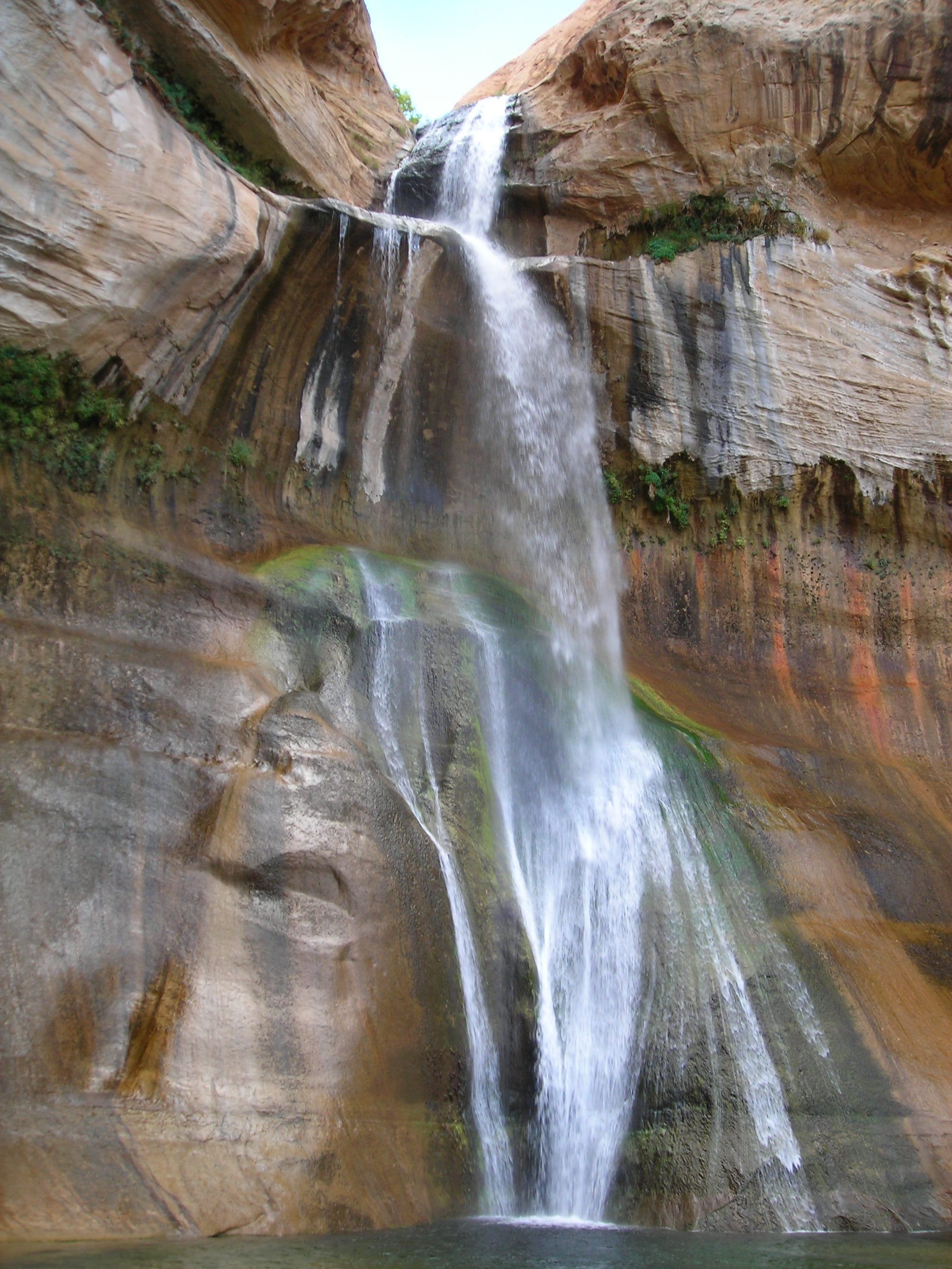
Lower Calf Creek Falls
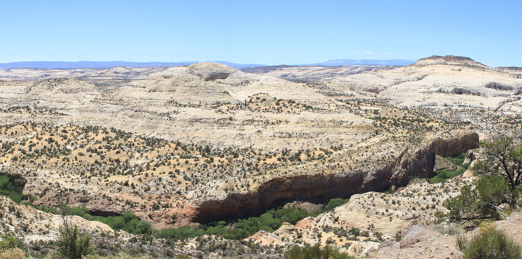
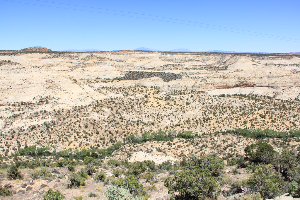
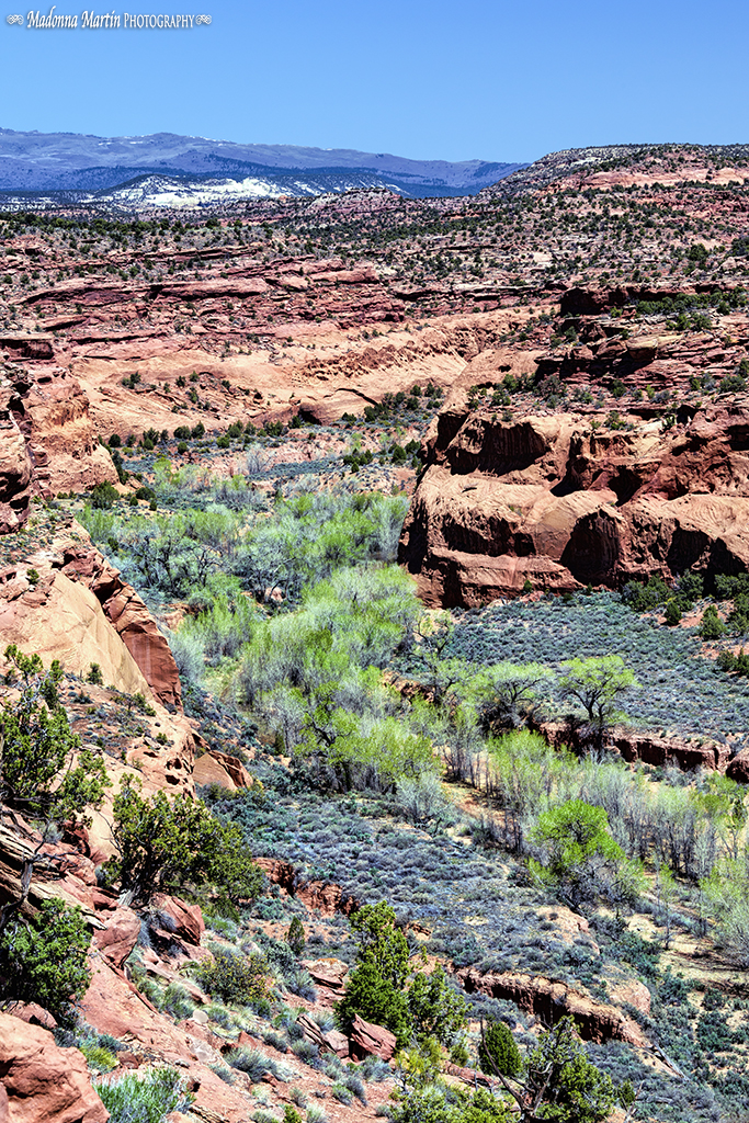
Grand Staircase-Escalante National Monument
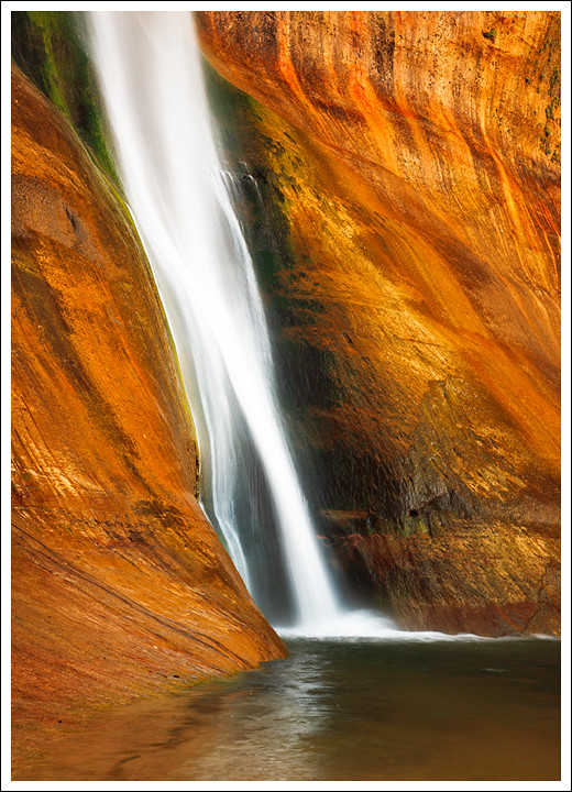
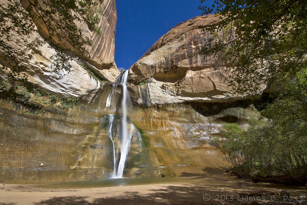
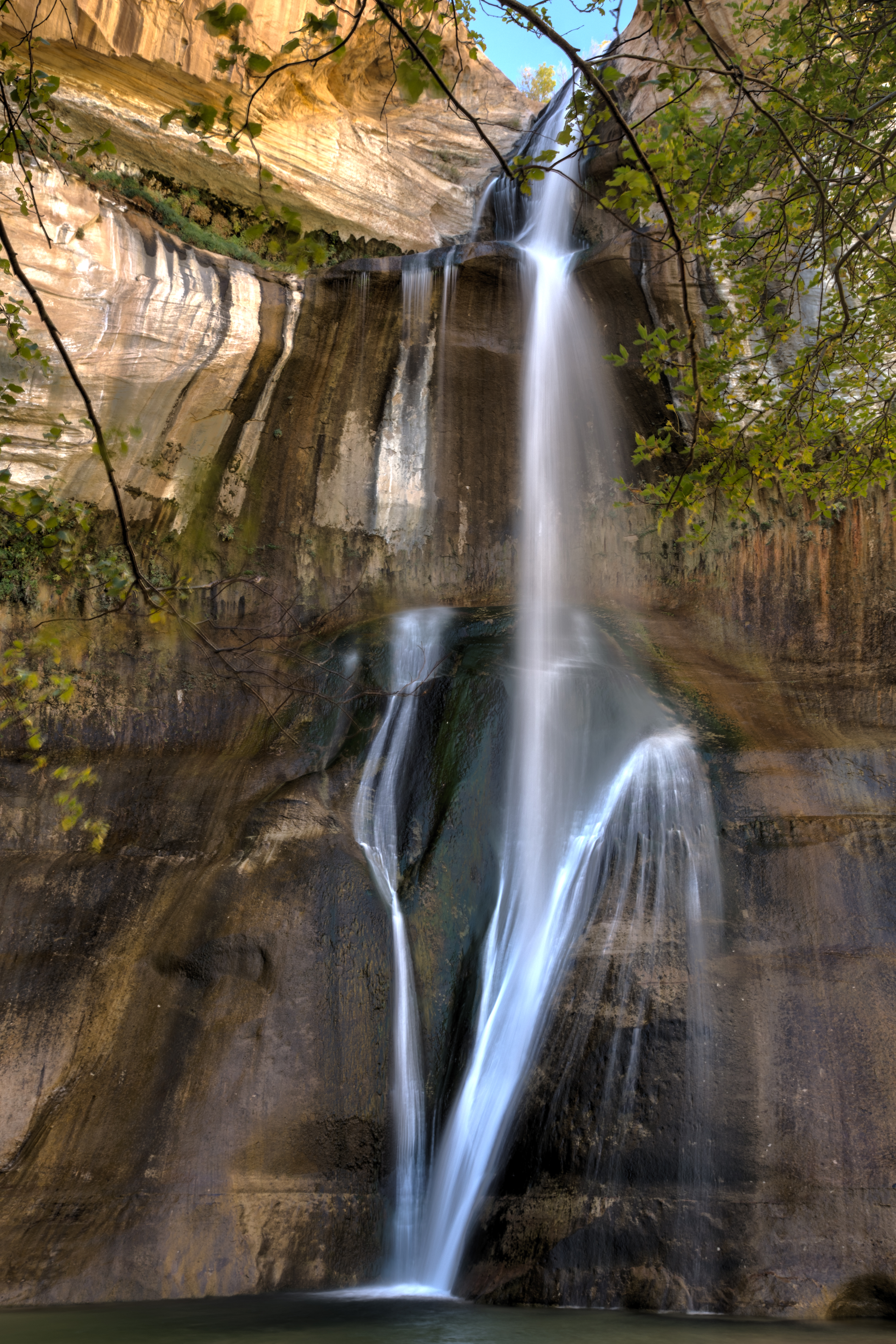
Lower Calf Creek Falls
Desert Cascade
Perennial Plunge
Lower Calf Creek Falls
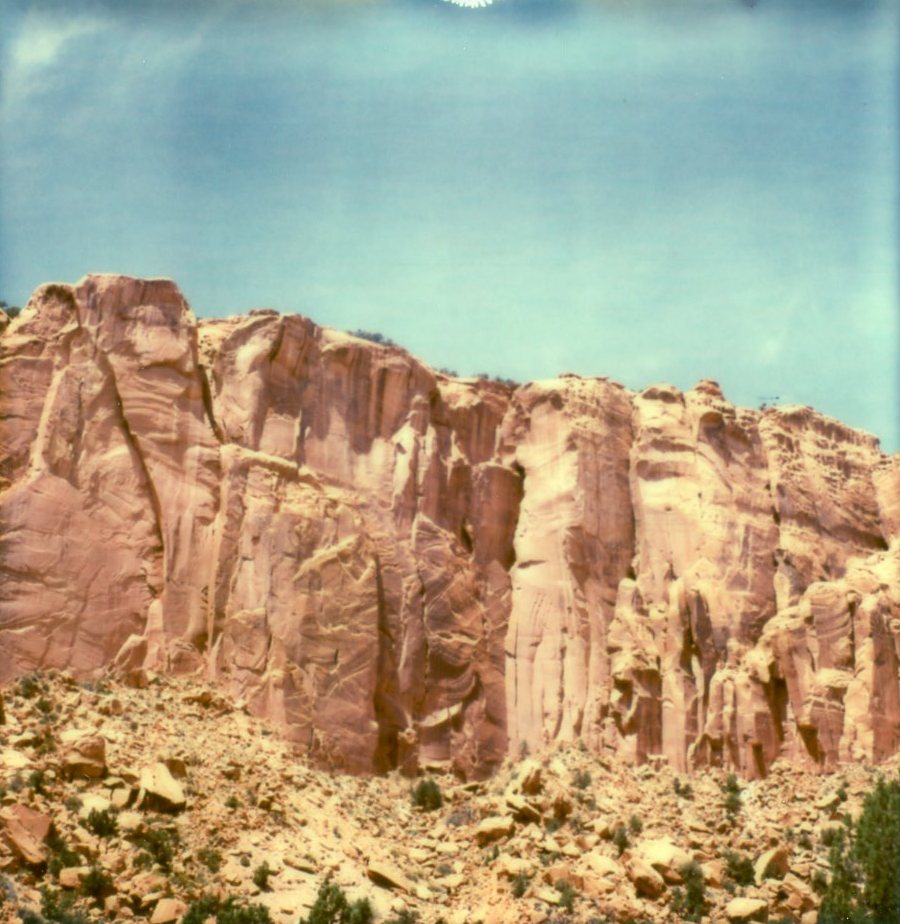
Boulder Navajo Sandstone Mesa Morning #2 -- 9/2004
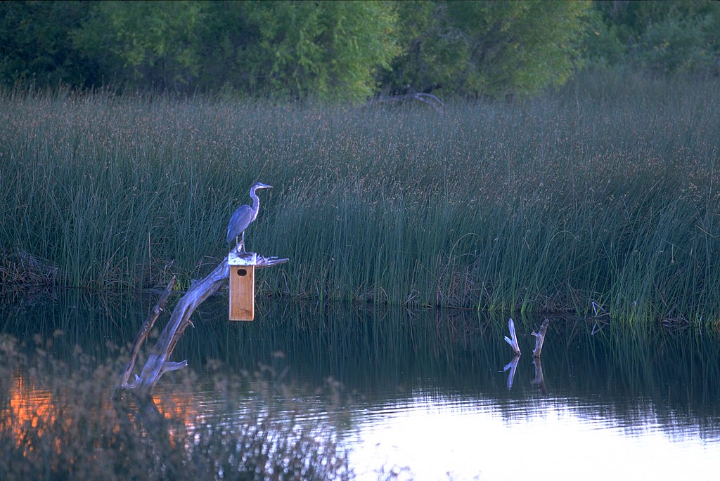
Boulder Heron -- 9/2004
Grand Staircase-Escalante National Monument

110616 LAX-JFK-05.jpg
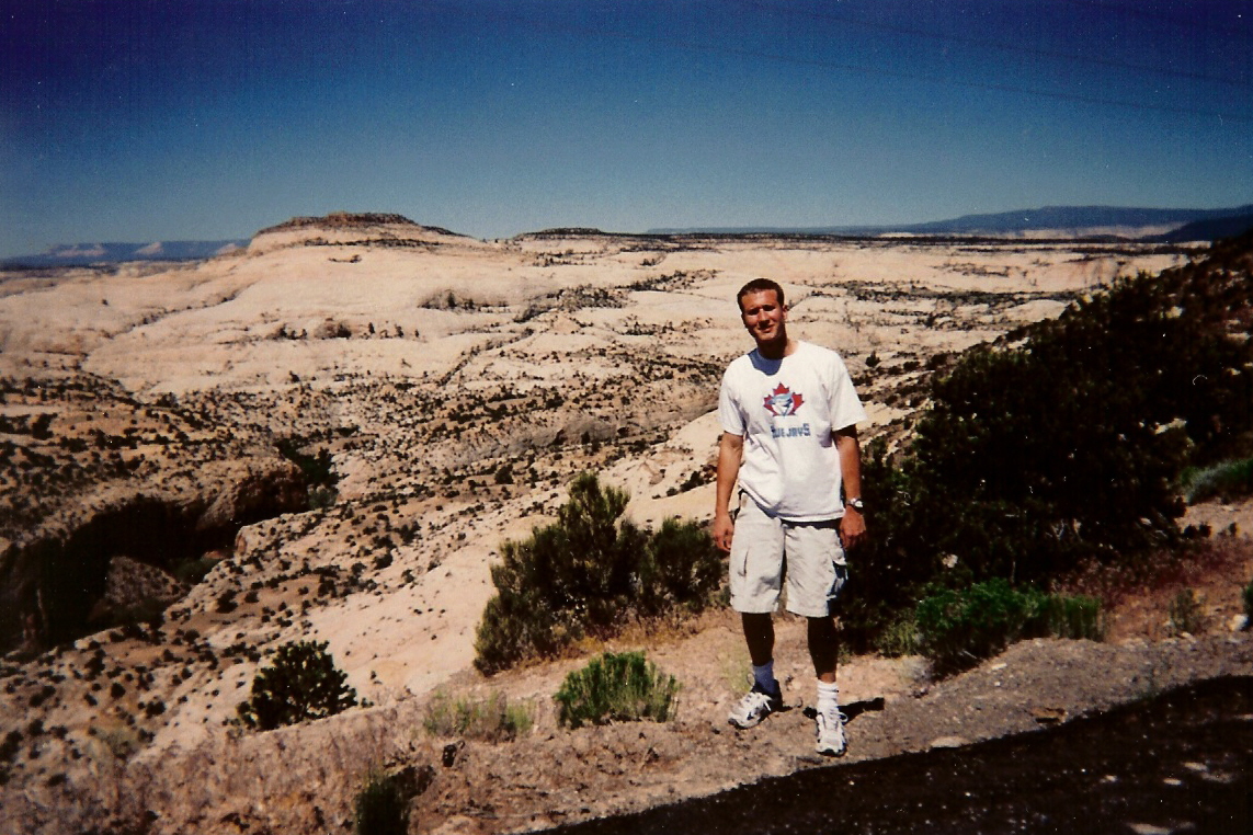
Ken, Highway 12, Grand Staircase-Escalante National Monument
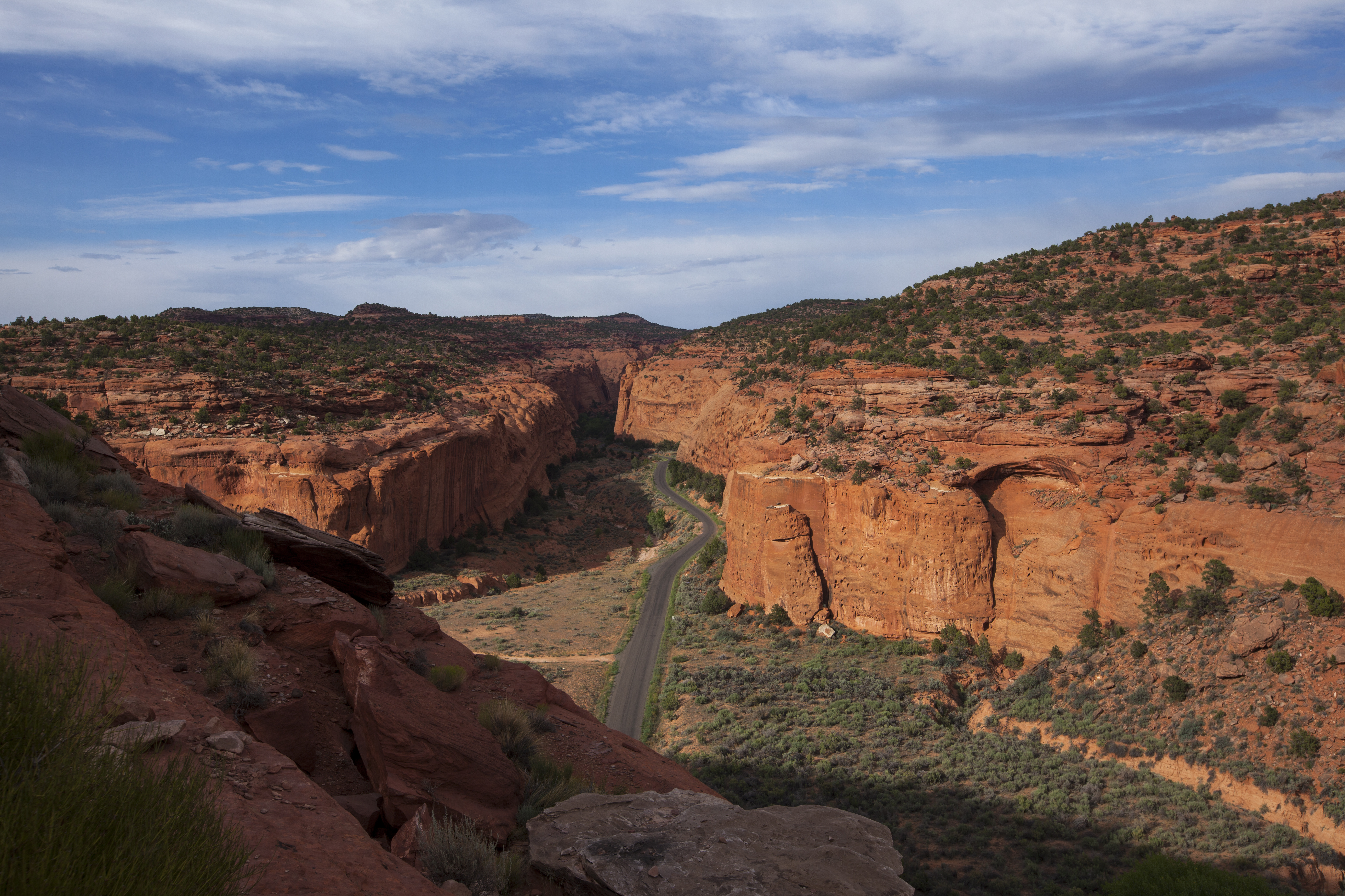
Long Canyon vista
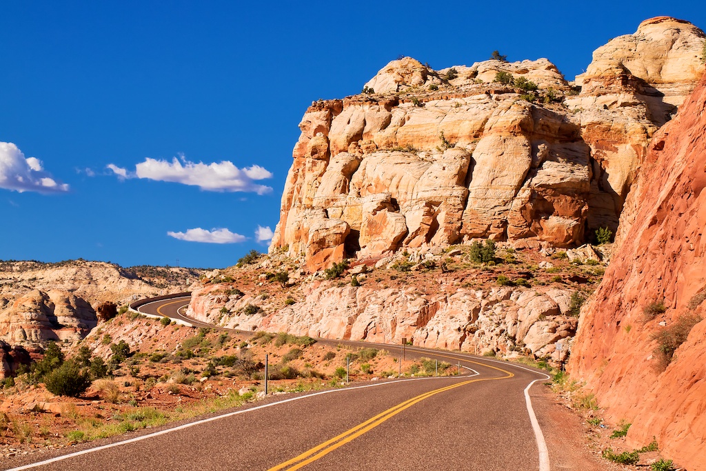
Grand Staircase-Escalante National Monument, Scenic Byway 12
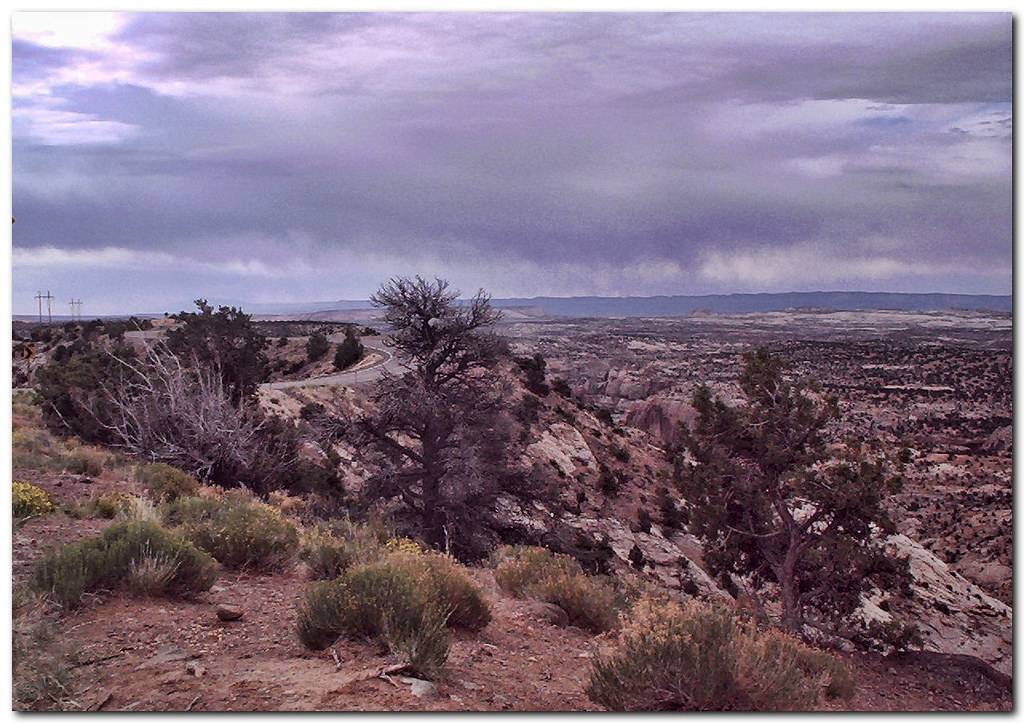
Hogback Road
Escalante Badlands

Views along the Burr Trail, Utah
Burr Trail welcomes spring weather
Calf Creek 2
Calf Creek Waterfall
Burr Trail
Burr Trail
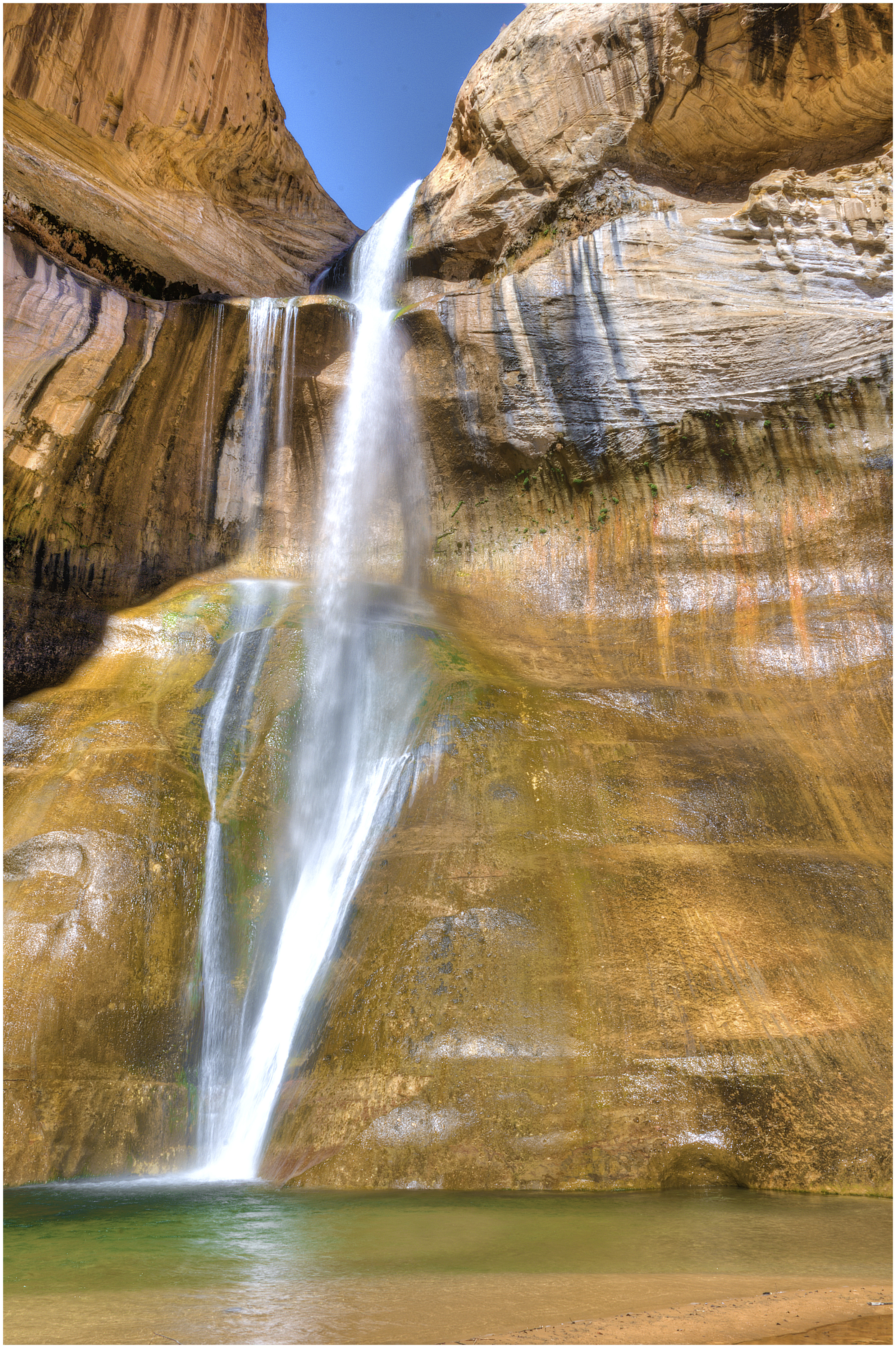
Lower Calf Creek Falls
Calf Creek Falls 1
Picture 062
Lower Calf Creek Falls
another shot of the falls

Grand Staircase-Escalante National Monument, Calf Creek, Lower Calf Creek Falls
Calf Creek Falls 2
Canyon Flowers

Green Valley
Grand Staircase - Escalante National Monument
Drive-By Landscapes
May Weather Won Again, 3 May 2015
DSC_7633.JPG
Lower Calf Creek Falls, Grand Staircase-Escalante National Monument
Scenic Byway 12
Topographic Map of Boulder, UT, USA
Find elevation by address:

Places in Boulder, UT, USA:
Places near Boulder, UT, USA:
Utah 12
Burr Trail Road
344 Draw Rd
The Hogback
Lower Calf Creek Falls
Escalante Natural Bridge
Garfield County
1605 Pine Creek Rd
760 Ut-12
Utah 12
Escalante
Q9fr+hh
Utah 12
445 W 400 S
445 W 400 S
Petrified Forest Trail
Utah 12
Utah 12
Devils Garden
8695 W Utah State Hwy 12
Recent Searches:
- Elevation of Corso Fratelli Cairoli, 35, Macerata MC, Italy
- Elevation of Tallevast Rd, Sarasota, FL, USA
- Elevation of 4th St E, Sonoma, CA, USA
- Elevation of Black Hollow Rd, Pennsdale, PA, USA
- Elevation of Oakland Ave, Williamsport, PA, USA
- Elevation of Pedrógão Grande, Portugal
- Elevation of Klee Dr, Martinsburg, WV, USA
- Elevation of Via Roma, Pieranica CR, Italy
- Elevation of Tavkvetili Mountain, Georgia
- Elevation of Hartfords Bluff Cir, Mt Pleasant, SC, USA