Elevation of Boulder, CO, USA
Location: United States > Colorado > Boulder County >
Longitude: -105.27054
Latitude: 40.0149856
Elevation: 1624m / 5328feet
Barometric Pressure: 83KPa
Elevation Map:
Satellite Map:
Related Photos:
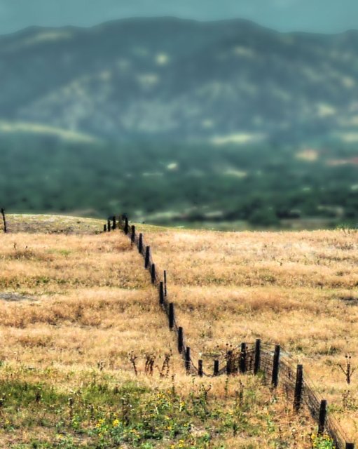
Boundary - Boulder
Prelude to a storm

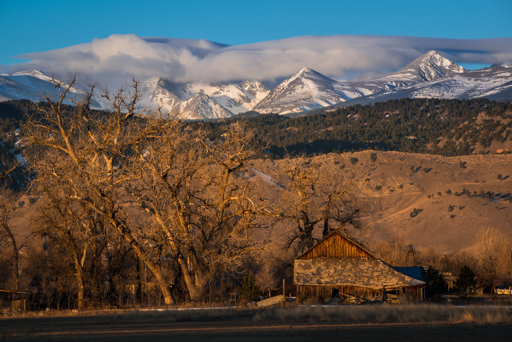
Coal Creek Canyon

After the storm
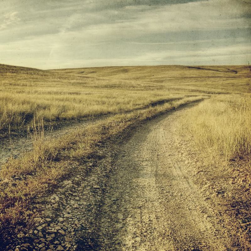
no obstructions
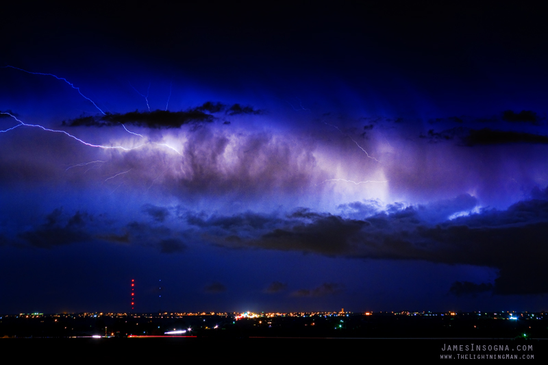
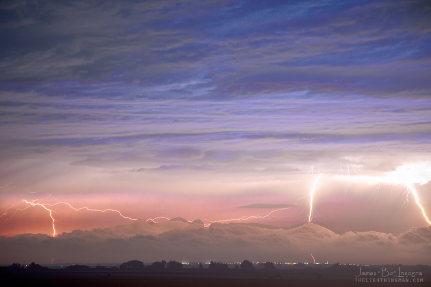
Cloud to Cloud Lightning Bursting Out Boulder County Colorado

Bucolic Boulder
Triple Threat

cliff fog

Yin and Yang
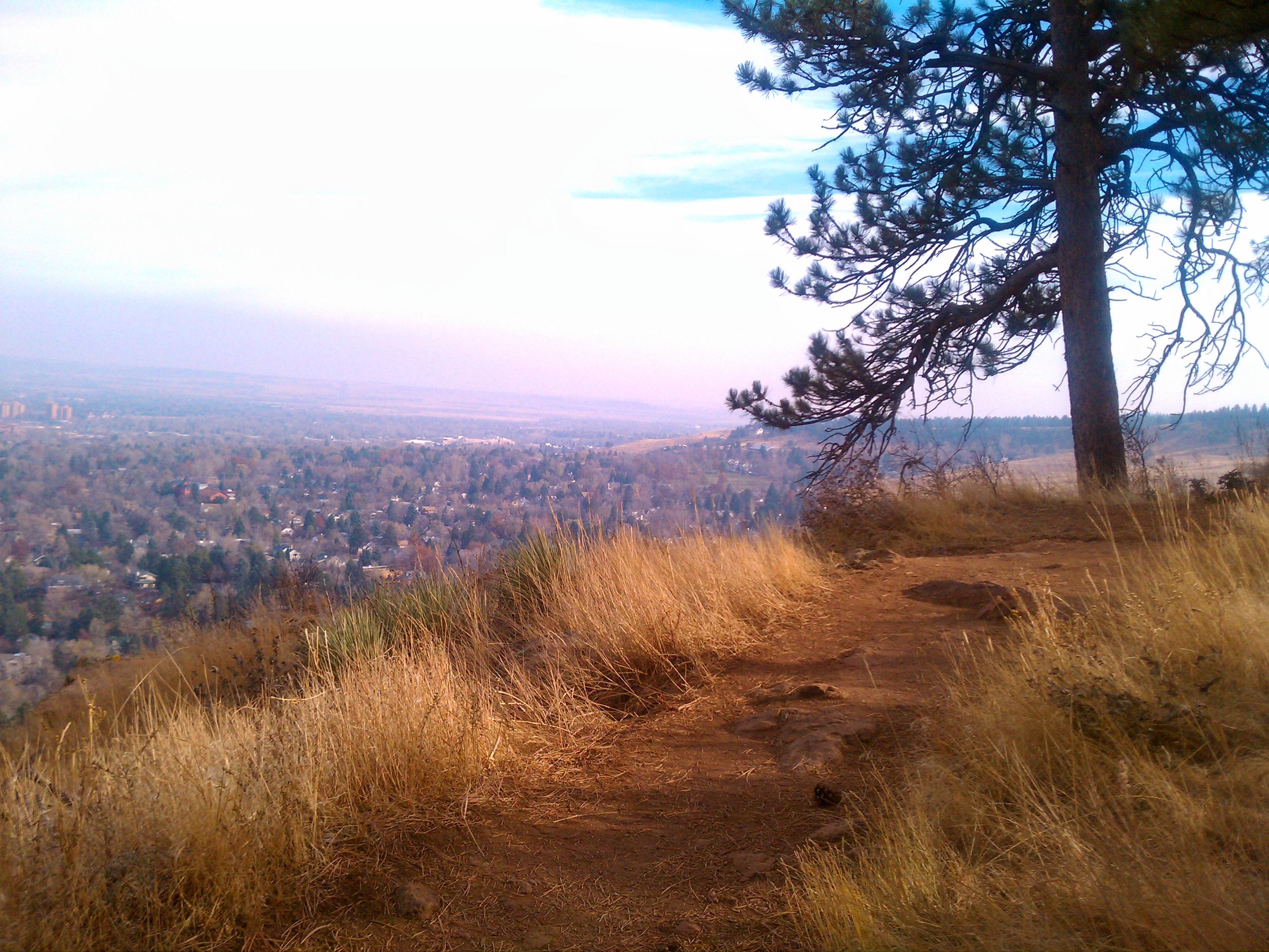
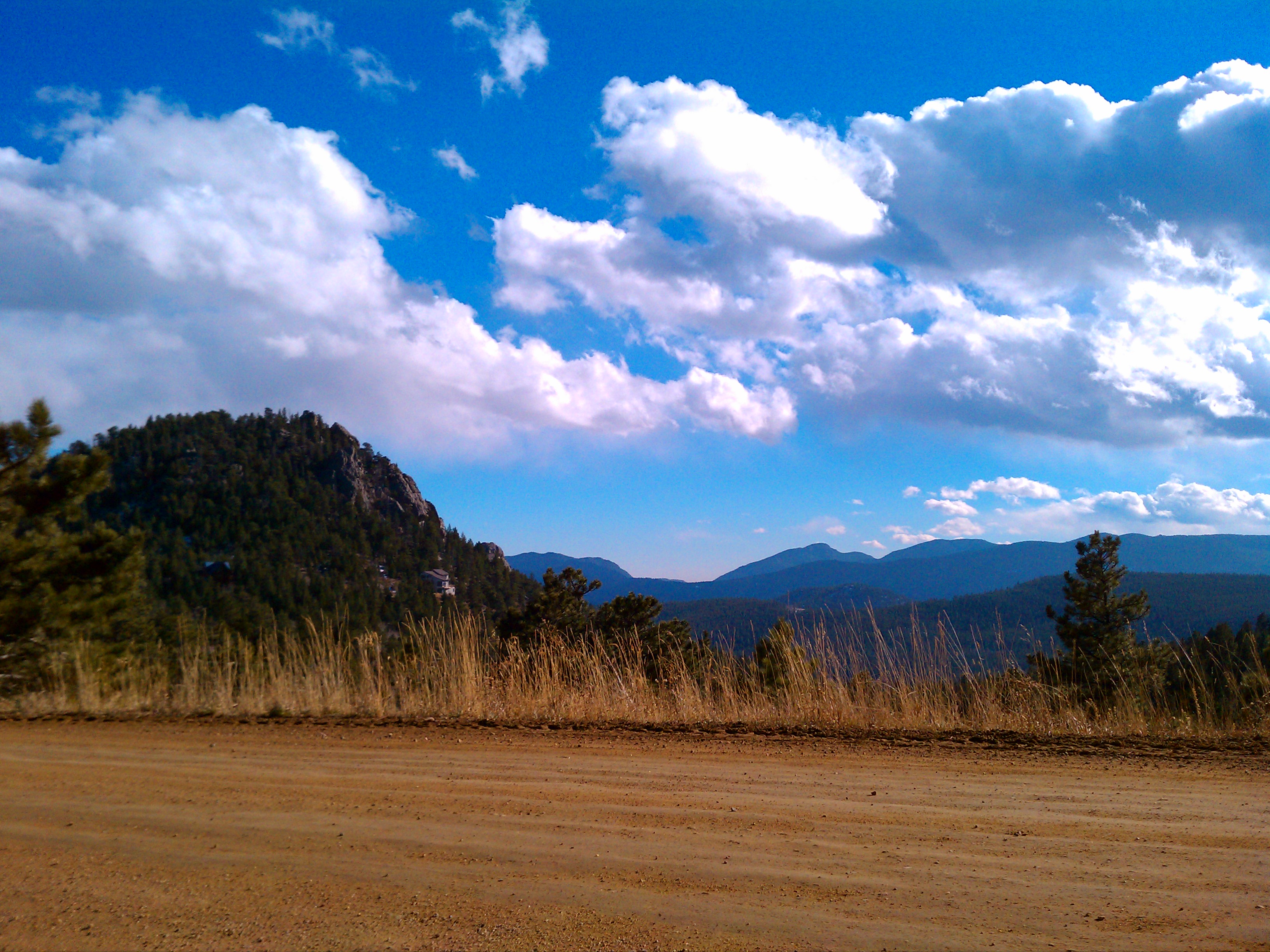
Flagstaff Trail overlooking road and Boulder
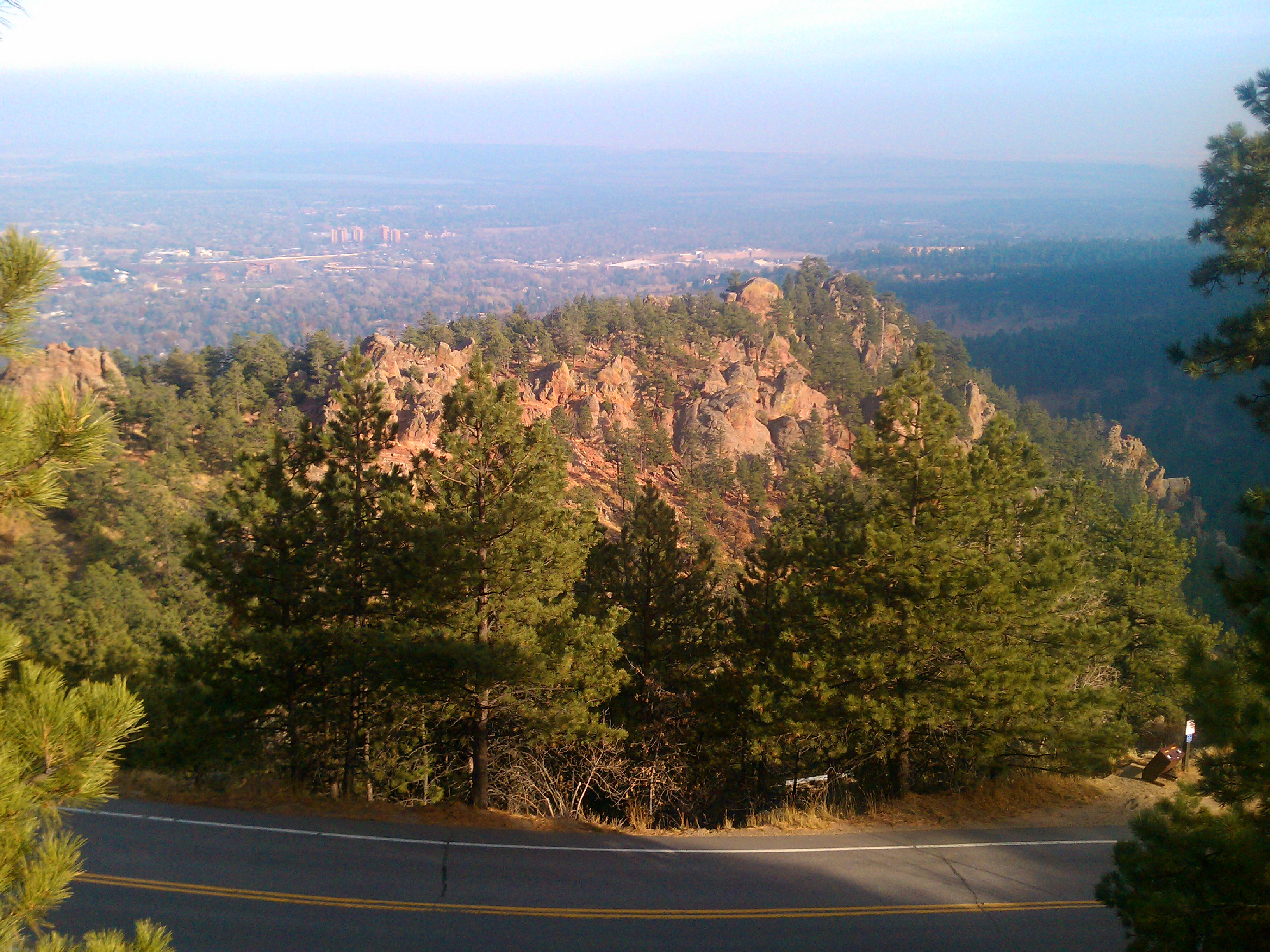
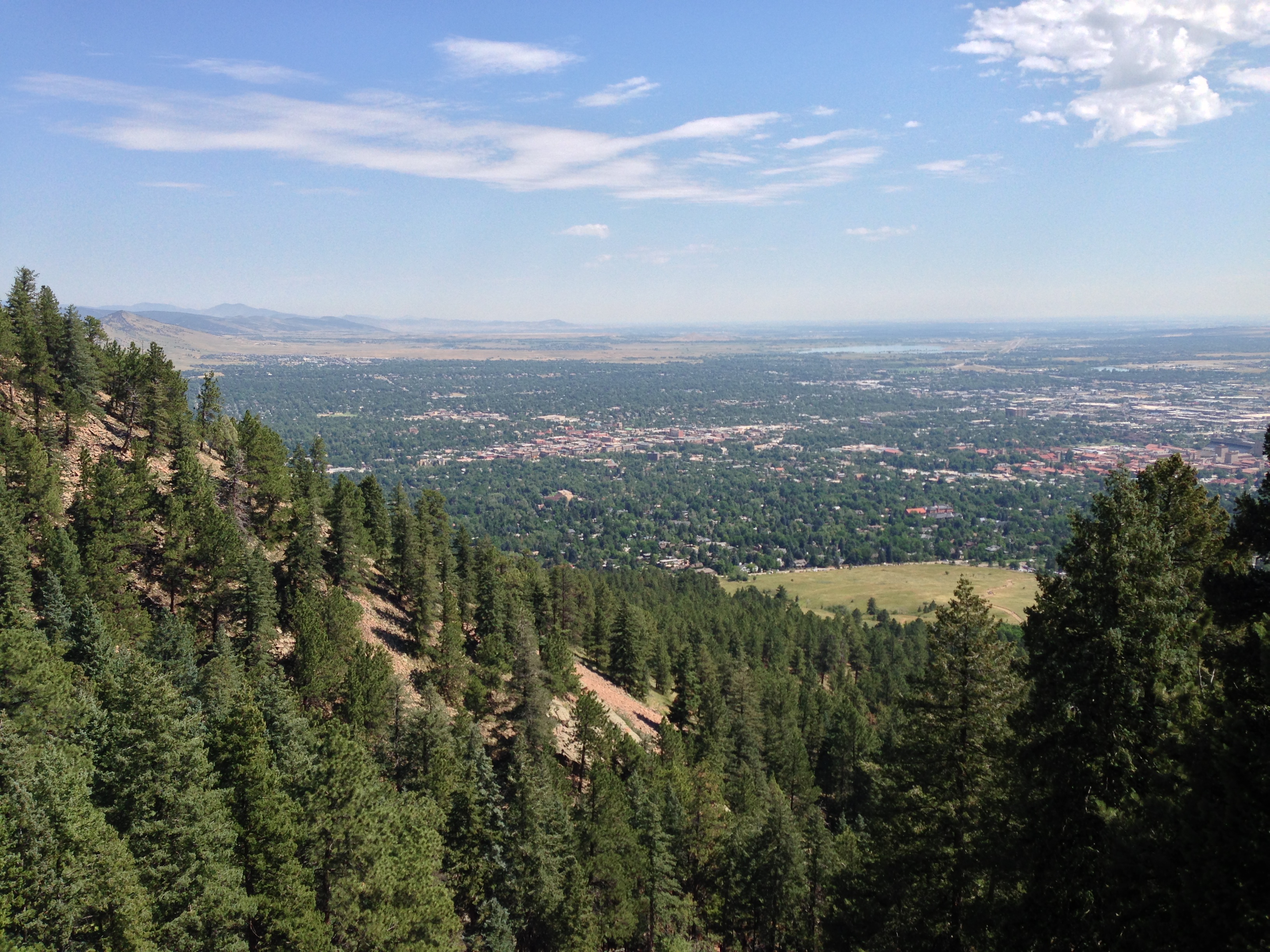
View over Boulder
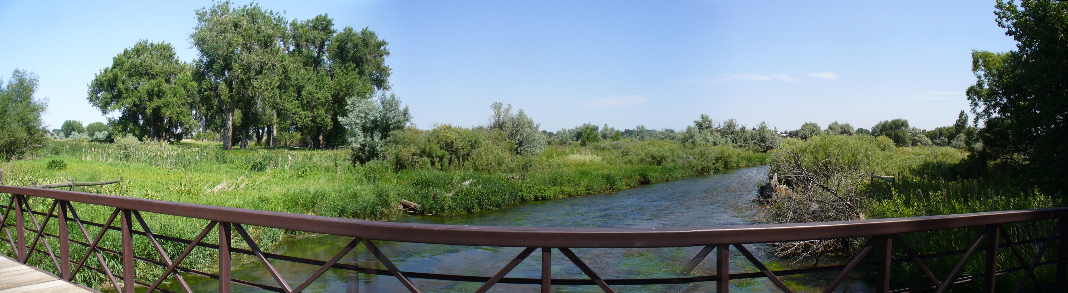
White Rocks bridge pano

NCAR with the Table Mesa Backdrop
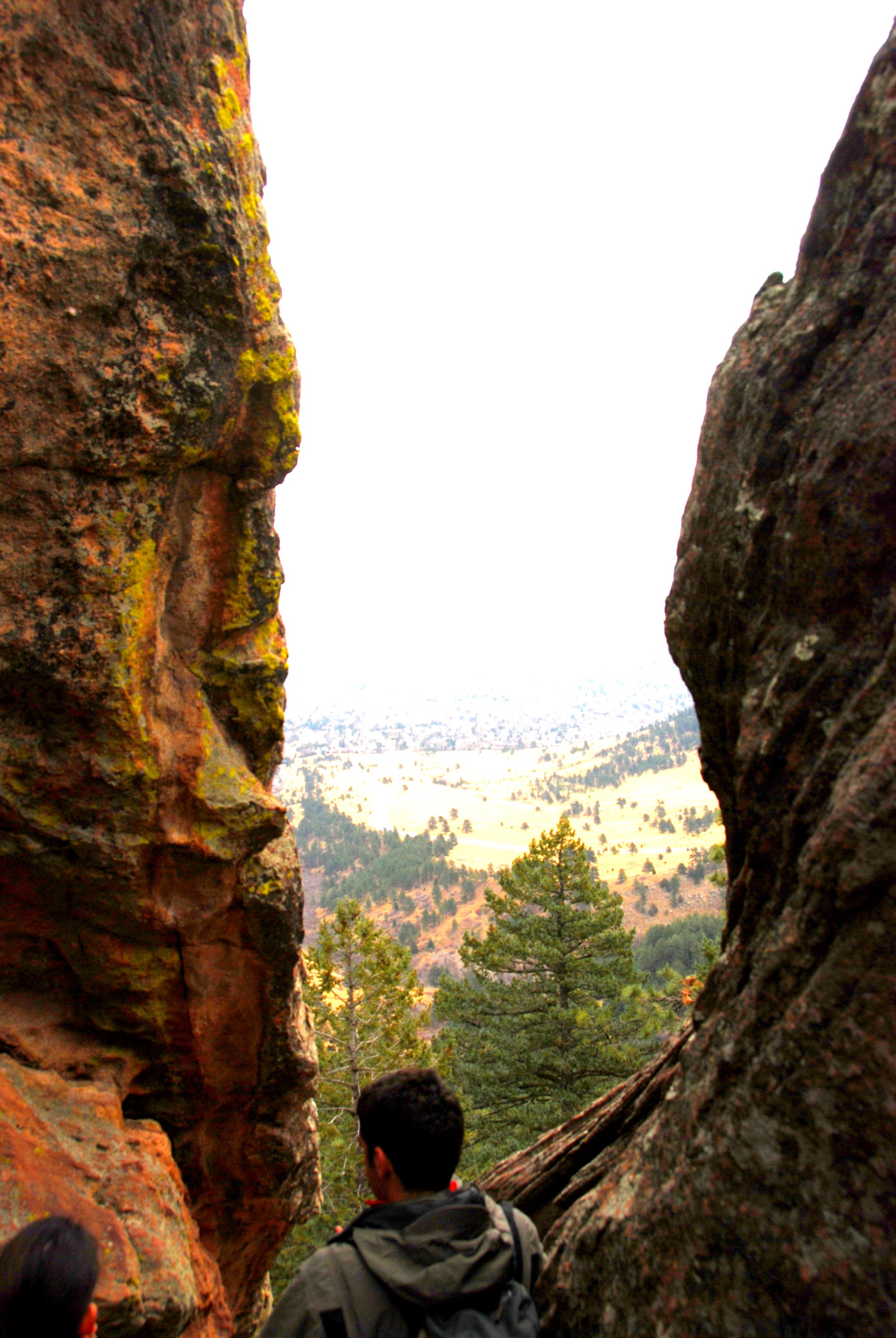
A Notch
Looking North
Boulder, CO
View from Mags
View from Mags
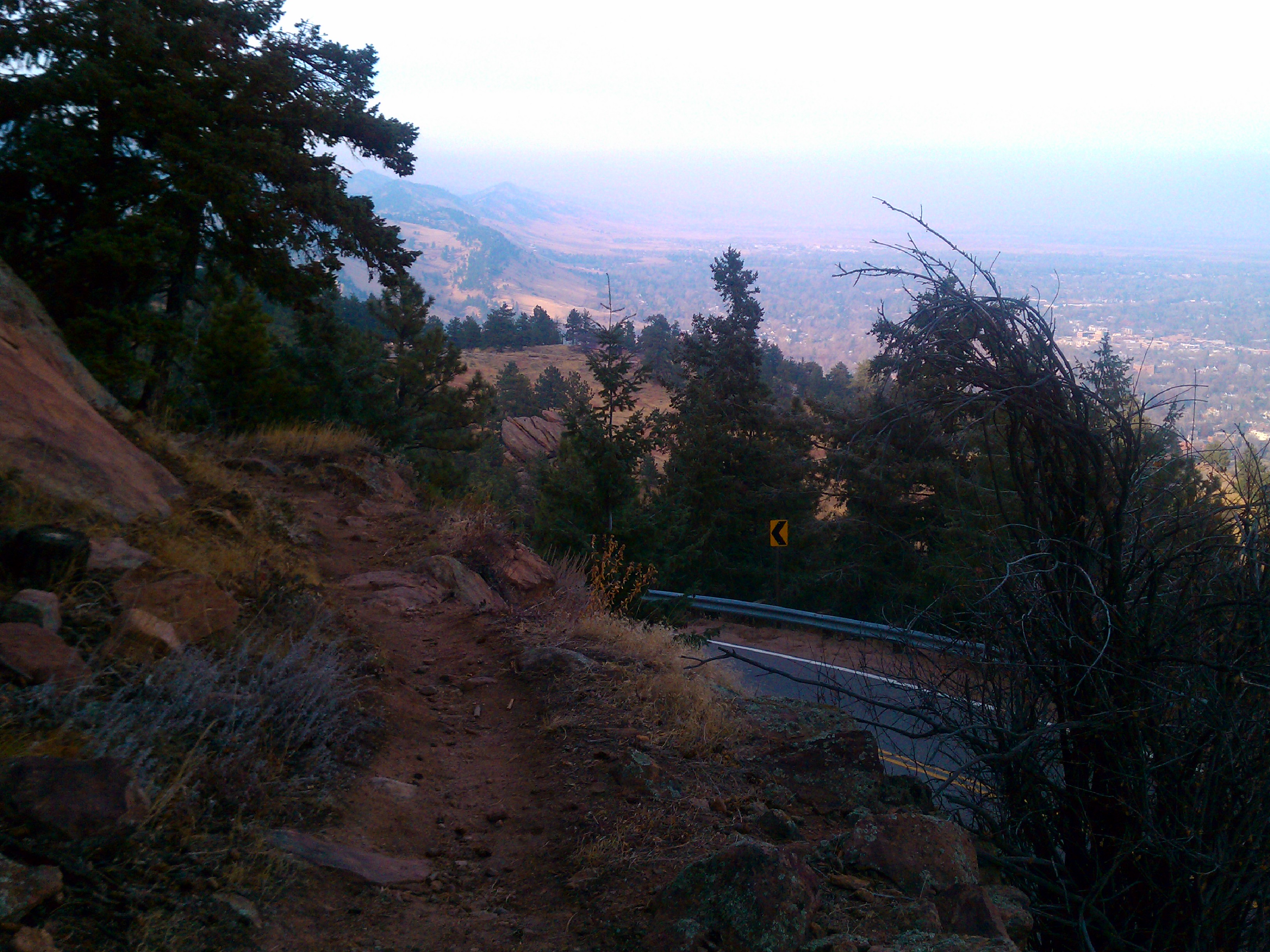
Flagstaff Trail looking north
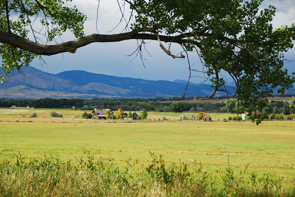
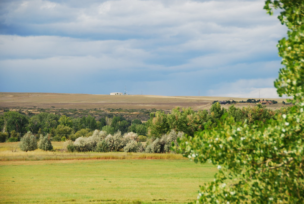
Teller Farm Openess
Topographic Map of Boulder, CO, USA
Find elevation by address:

Places in Boulder, CO, USA:
Wonderland Hills
Downtown
Chautauqua
Transit Village
Table Mesa
Wonderland Lake
Old North Boulder
Devil's Thumb - Rolling Hill
University Hill
Newlands
Whittier
Rural North Boulder
South Boulder Peak
Indian Rd, Boulder, CO, USA
Elk Ridge Ln, Boulder, CO, USA
Ben Pl, Boulder, CO, USA
Paragon Dr, Boulder, CO, USA
Fourmile Canyon Dr, Boulder, CO, USA
N 95th St, Boulder, CO, USA
Wild Tiger Rd, Boulder, CO, USA
Fourmile Canyon Dr, Boulder, CO, USA
Sunshine Canyon Dr, Boulder, CO, USA
Nightshade Dr, Boulder, CO, USA
James Canyon Dr, Boulder, CO, USA
Boulder Canyon Dr, Boulder, CO, USA
Switzerland Park Rd, Boulder, CO, USA
61 Betasso Rd, Boulder, CO, USA
Sunshine Canyon Drive
Ridgeview Lane
Eldorado Springs Drive
Boulder, CO, USA
Poorman Hill
Boulder Reservoir
Seven Hills Drive
Chautauqua Trail
Lee Hill Drive
Flatirons
Boulder, CO, USA
Lakeview Drive
Gunbarrel
Highland Park
Martin Acres
Park East
Four Mile Creek
Goss - Grove
Flagstaff
Glenwood Grove - North Iris
Lower Arapahoe
Frasier Meadows
Melody Heights
Meadow Glen
Thunderbird Circle
Ridgeview Lane
Places near Boulder, CO, USA:
Goss - Grove
2155 S Walnut St
Pearl Street
United States Postal Service
13th Street & Canyon Boulevard
Central Park
1922 13th St
1165 13th St
University Of Colorado Boulder
Whittier
Peppercorn
2400 Colorado Ave
2350 Libby Dr
1915 Broadway
956 16th St
Netapp
University Hill
Downtown
St Julien Hotel & Spa
Colorado 119
Recent Searches:
- Elevation of Corso Fratelli Cairoli, 35, Macerata MC, Italy
- Elevation of Tallevast Rd, Sarasota, FL, USA
- Elevation of 4th St E, Sonoma, CA, USA
- Elevation of Black Hollow Rd, Pennsdale, PA, USA
- Elevation of Oakland Ave, Williamsport, PA, USA
- Elevation of Pedrógão Grande, Portugal
- Elevation of Klee Dr, Martinsburg, WV, USA
- Elevation of Via Roma, Pieranica CR, Italy
- Elevation of Tavkvetili Mountain, Georgia
- Elevation of Hartfords Bluff Cir, Mt Pleasant, SC, USA