Elevation of Bothwell TAS, Australia
Location: Australia > Tasmania > Central Highlands Council >
Longitude: 147
Latitude: -42.383333
Elevation: 349m / 1145feet
Barometric Pressure: 97KPa
Elevation Map:
Satellite Map:
Related Photos:

White-fronted Chat (Epthianura albifrons)

Hollow Tree (TAS)
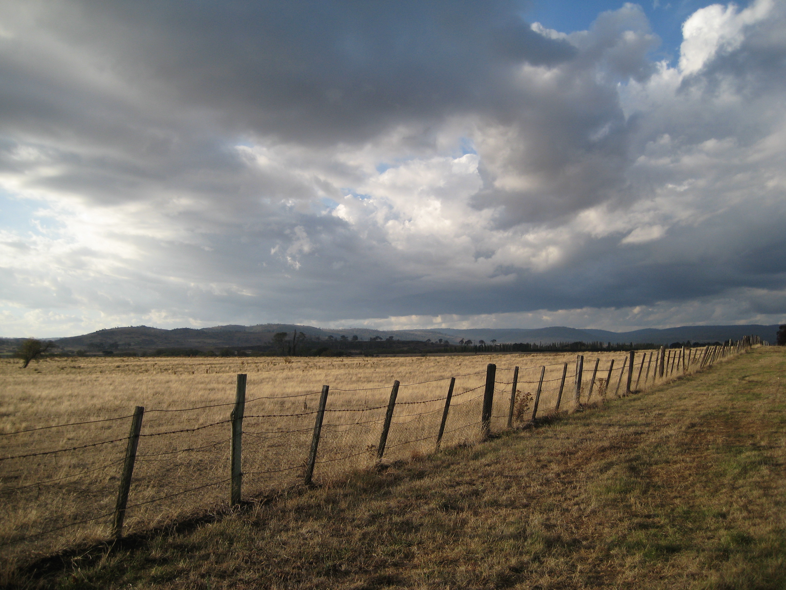
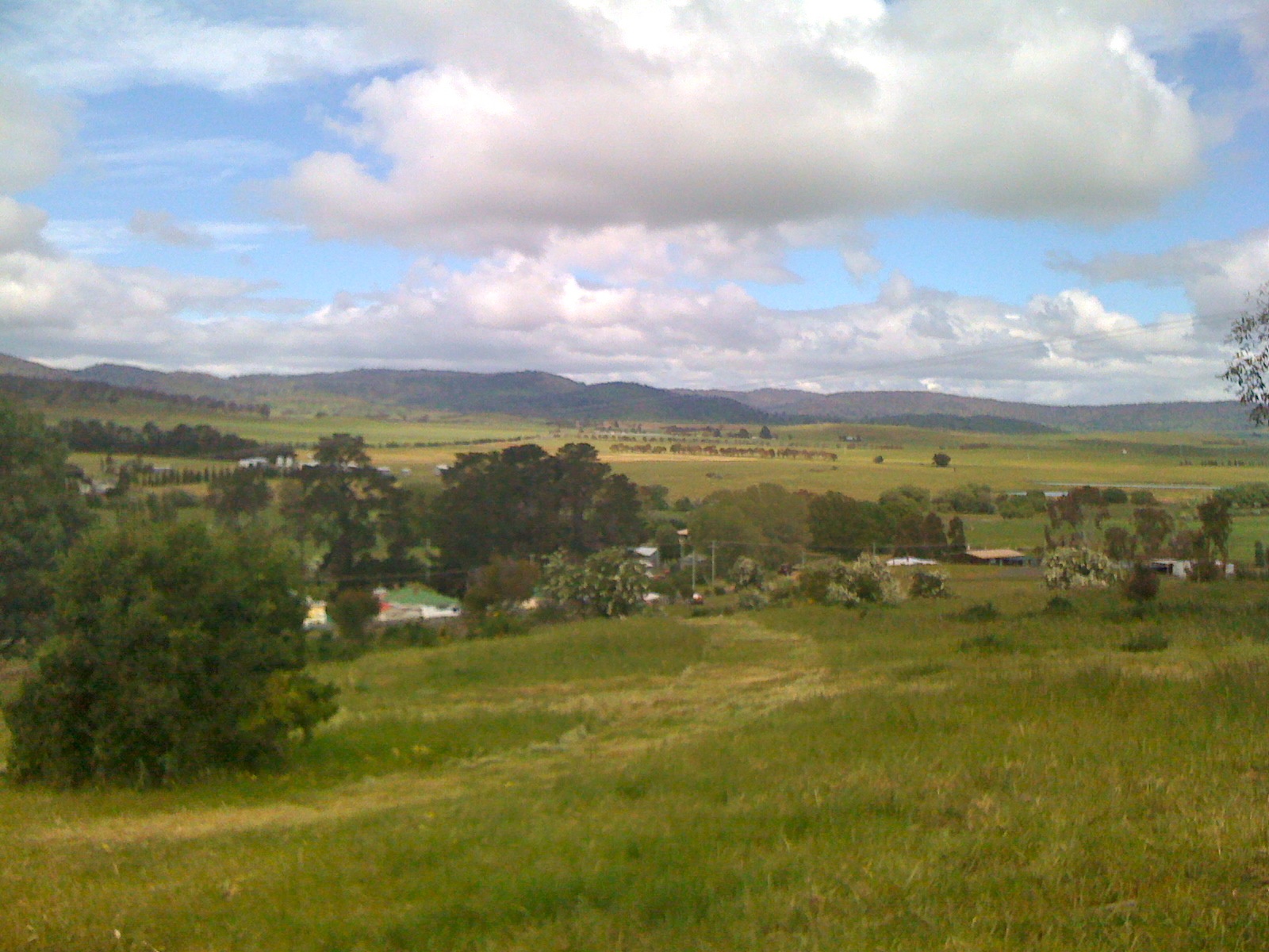
fenceline under cloud
Great Lakes3
On Nant
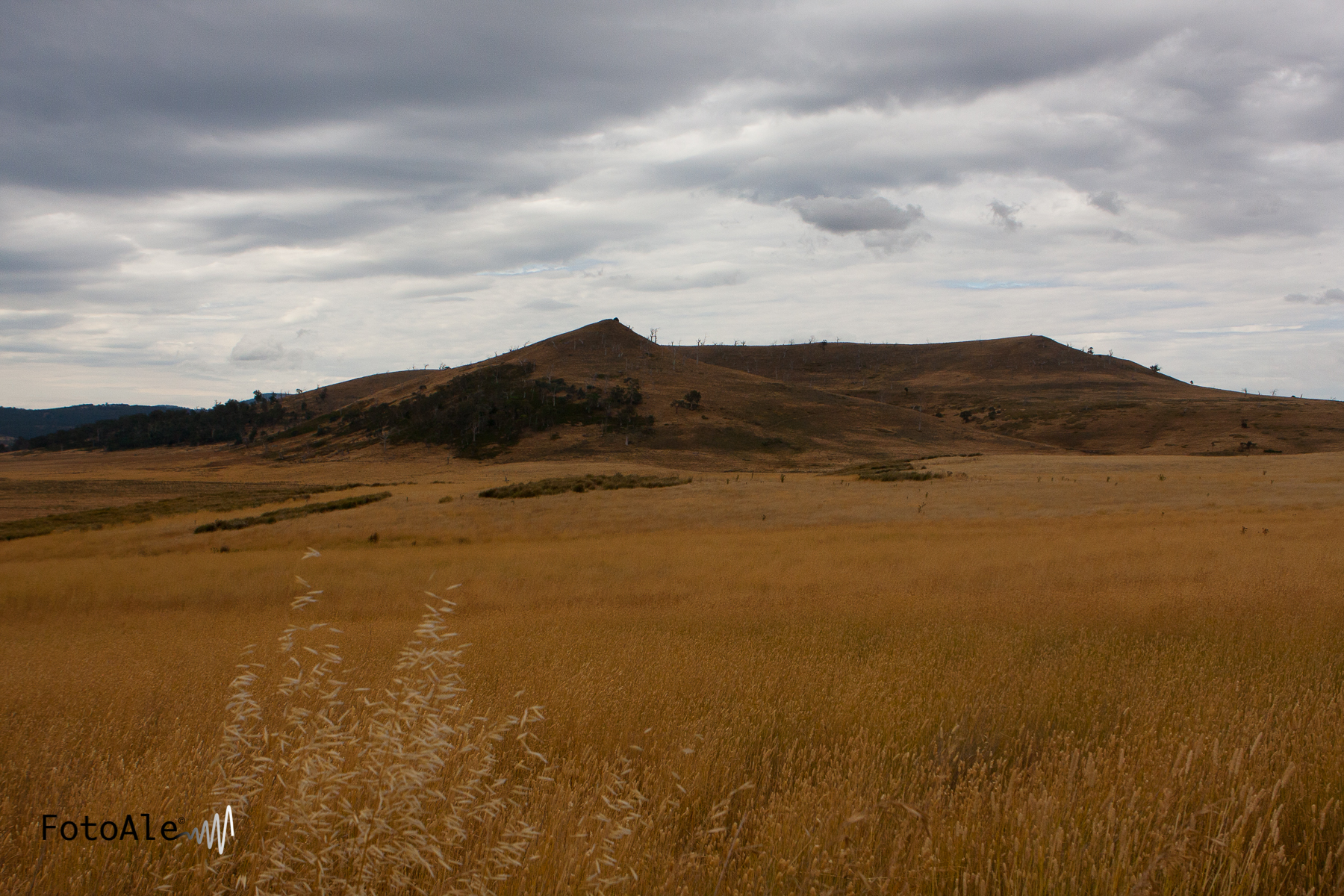
Hollow Tree Road
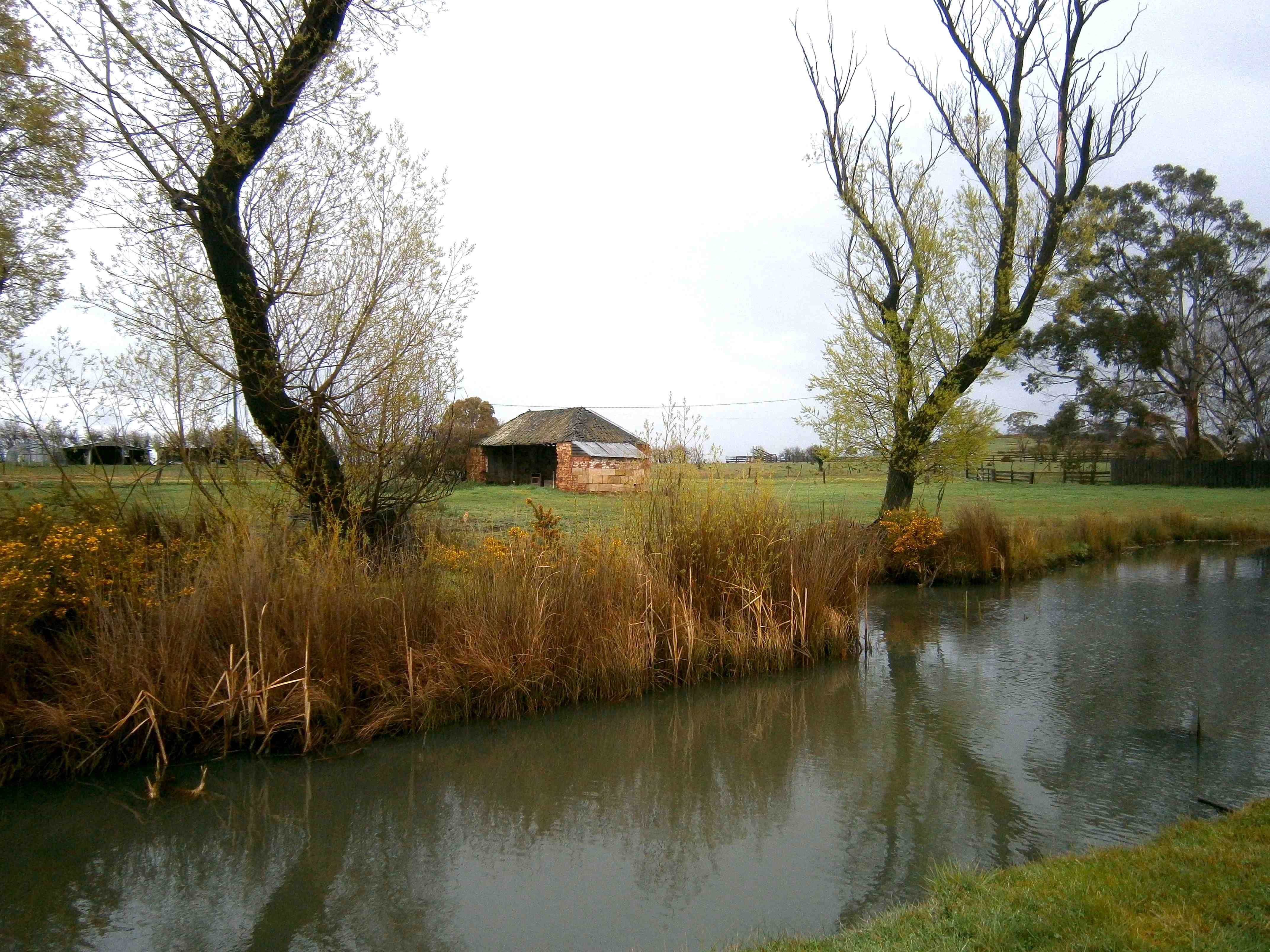
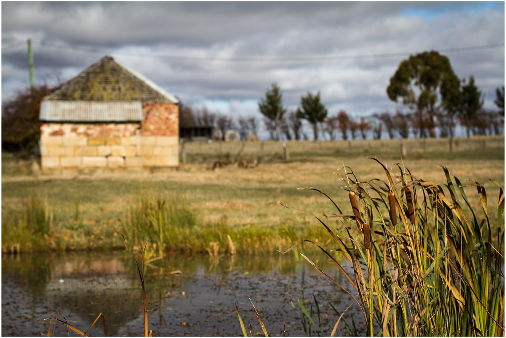
SHINGLE-ROOF SHED
Picnic spot
_MG_9469.jpg

_MG_9470.jpg
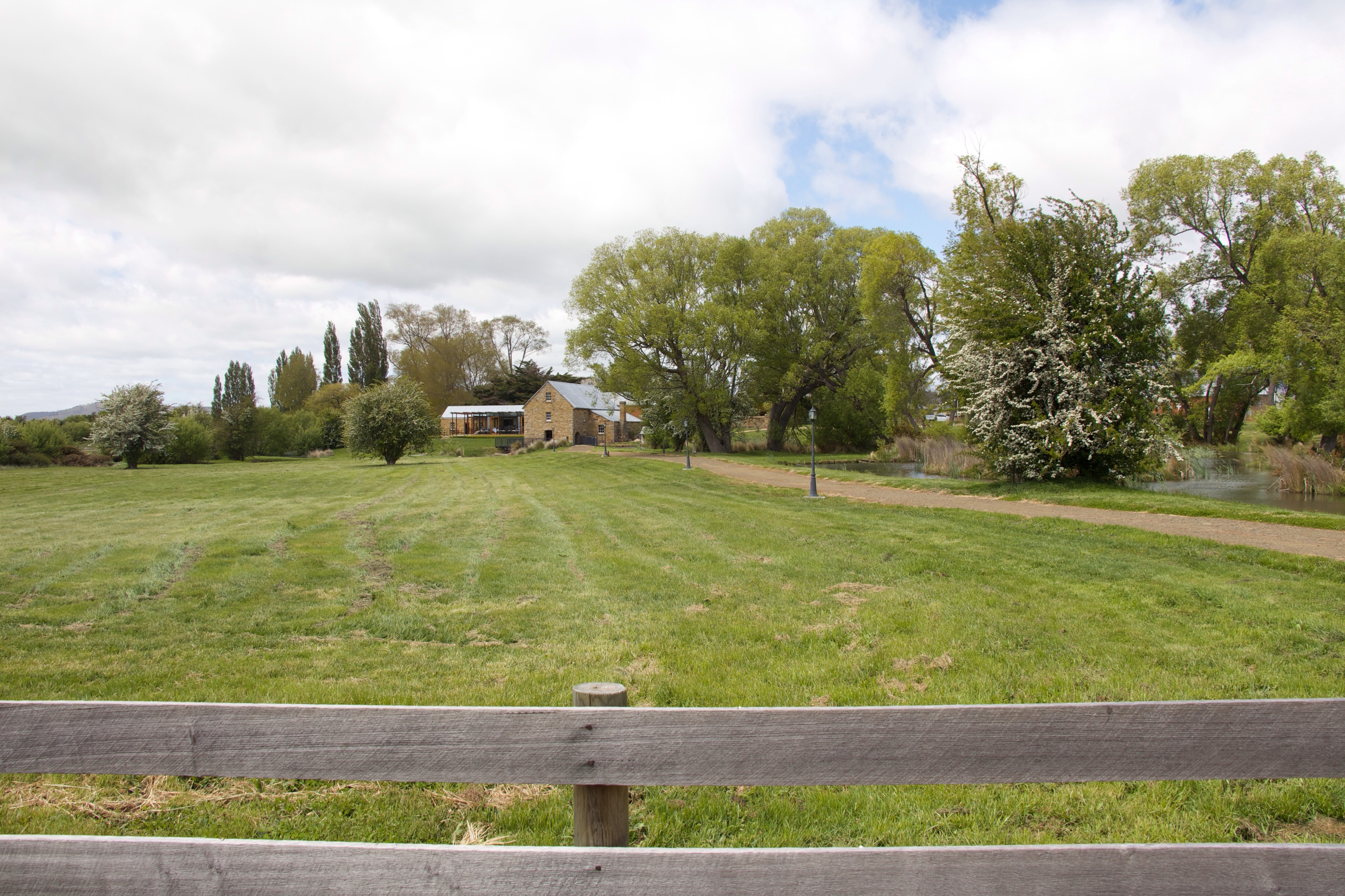
Nant Distillery
Topographic Map of Bothwell TAS, Australia
Find elevation by address:

Places near Bothwell TAS, Australia:
Rosevale
Central Highlands Council
Dysart
Elderslie
Hamilton
Kempton
Gretna
Ouse
Jericho
Brown Hills
414 Mud Walls Rd
The Springs
487 Yarlington Rd
Colebrook
Boyer Oval
Rhyndaston
3 Magnolia Ct
Brighton
New Norfolk
Andrew Street
Recent Searches:
- Elevation of Hobbyhorse Ct, Dover, DE, USA
- Elevation of Horseshoe Ln, Dahlonega, GA, USA
- Elevation of Village Point Dr, Daphne, AL, USA
- Elevation map of Kabardino-Balkarian Republic, Russia
- Elevation of Tyrnyauz, Kabardino-Balkarian Republic, Russia
- Elevation of Sunset Dr, Hernando, MS, USA
- Elevation of Lake Rotoroa, Tasman, New Zealand
- Elevation of George St, New Bern, NC, USA
- Elevation of Cove Rd, Jasper, GA, USA
- Elevation of Cove Rd, Jasper, GA, USA