Elevation of Boone Ridge, Mountain City, TN, USA
Location: United States > Tennessee > Johnson County > Mountain City >
Longitude: -81.912107
Latitude: 36.353418
Elevation: 848m / 2782feet
Barometric Pressure: 92KPa
Elevation Map:
Satellite Map:
Related Photos:

Raccoon with a View

Appalachian Trail

Appalachian Trail

View from Vandeventer Shelter

View from Vandeventer Shelter

Full View of Trashcan Falls

Mountain View from our room. Happy Wednesday Evening Everyone

Top of Trashcan Falls - Winter 08 (2)

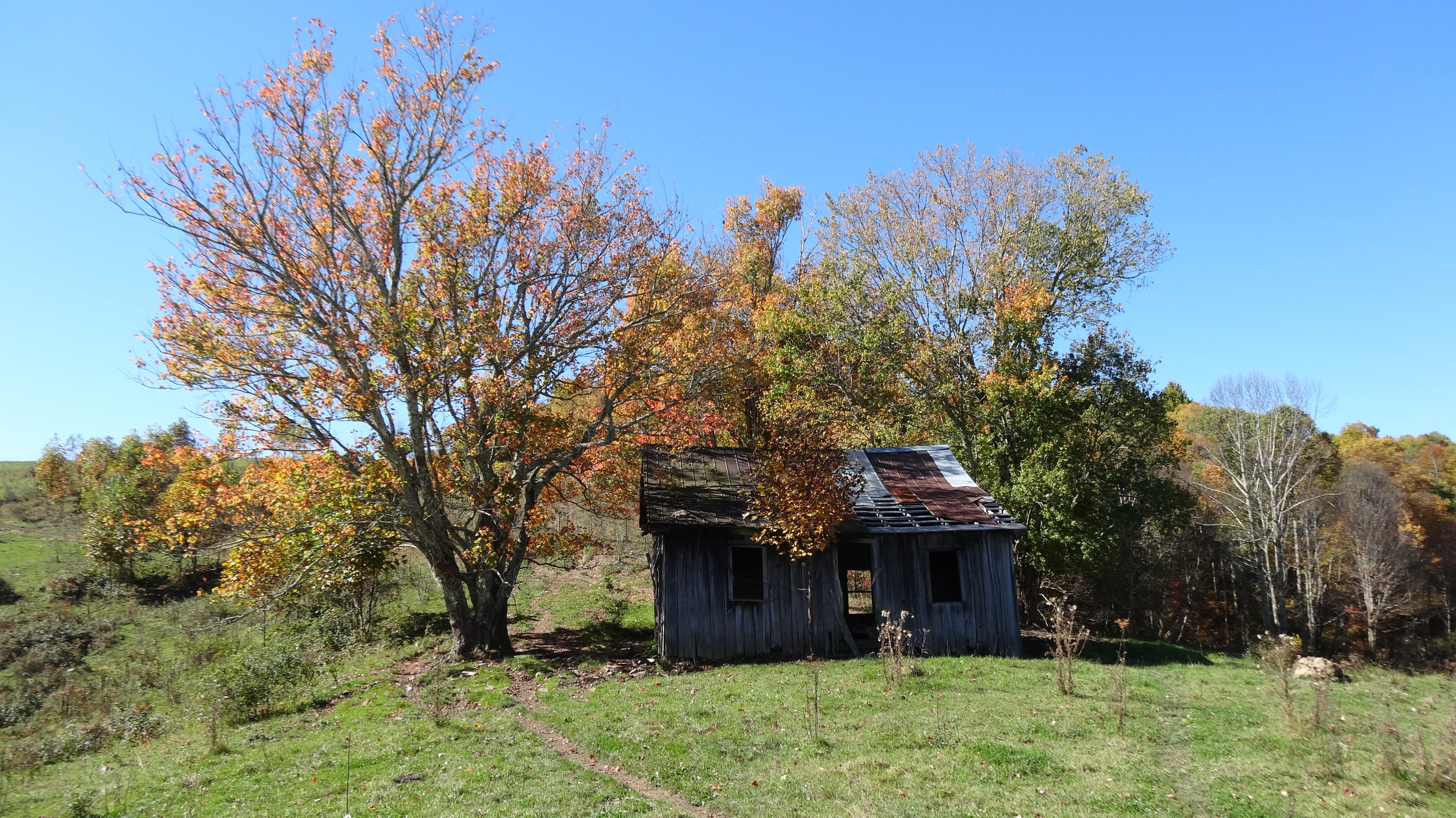
watagua cabin frame

Vale of the Cross
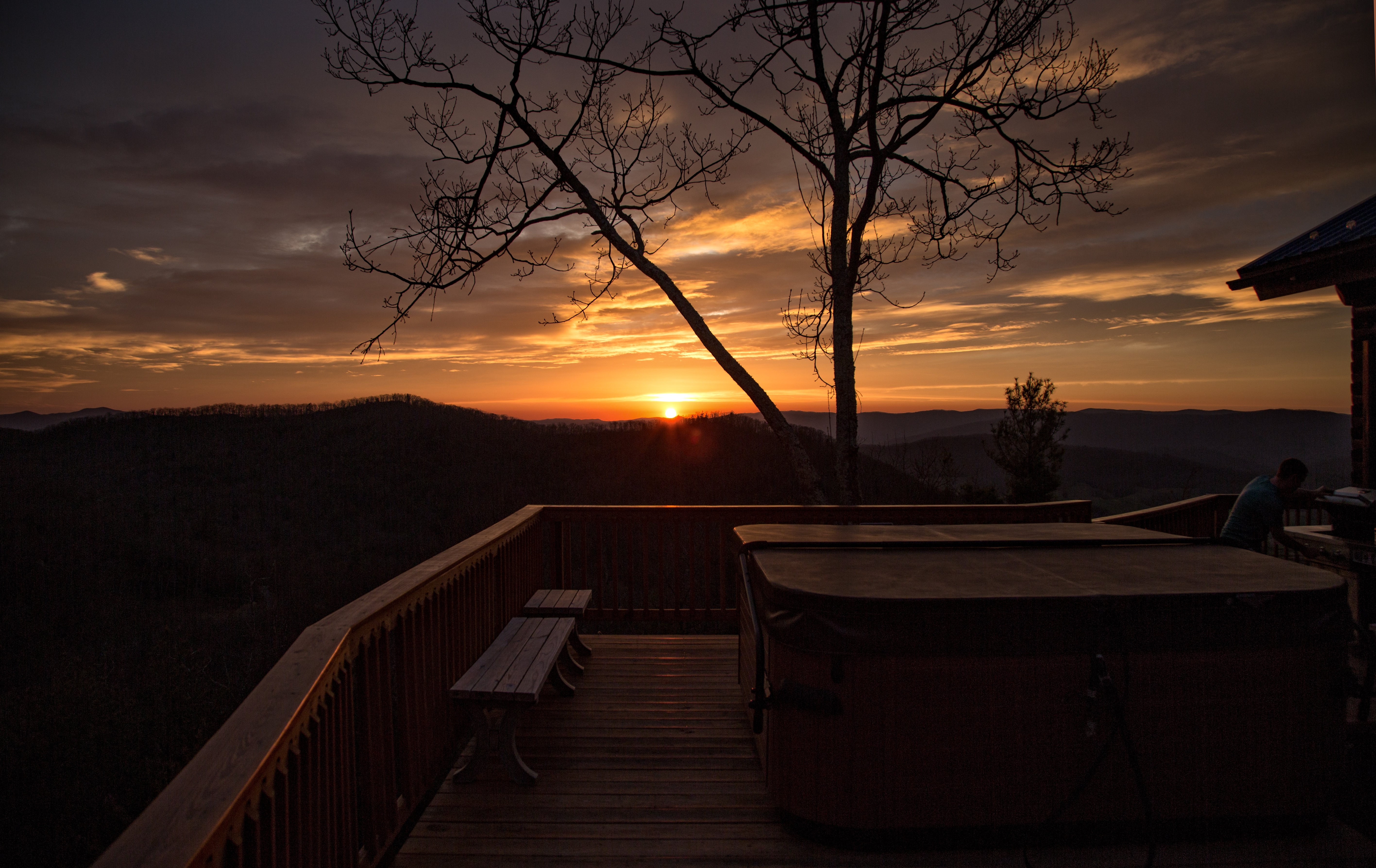
Cloud 9 Hot Tub View

Osborne Tract, Appalachian NST, Shady Valley, TN5

Osborne Tract, Appalachian NST, Shady Valley, TN2

The view

Hummingbird Stowaway ~ Best viewed large

Vandeventer Shelter, Appalachian NST, TN

Osborne Tract, Appalachian NST, Shady Valley, TN7

Northern Brown Snake Full View

Osborne Tract, Appalachian NST, Shady Valley, TN2

Osborne Tract, Appalachian NST, Shady Valley, TN6

Appalachian National Scenic Trail, Osborne Tract, Shady Valley, TN

Avery County Barn

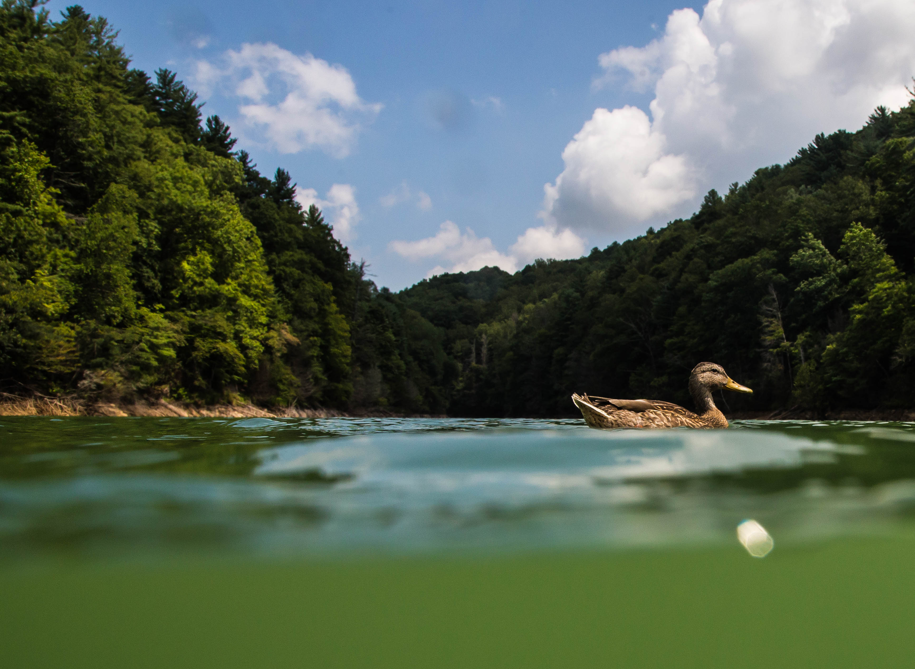
Mallard's Solitude

Mountain Flame

Mountains of Tennessee

Double Exposer

Watauga Lake
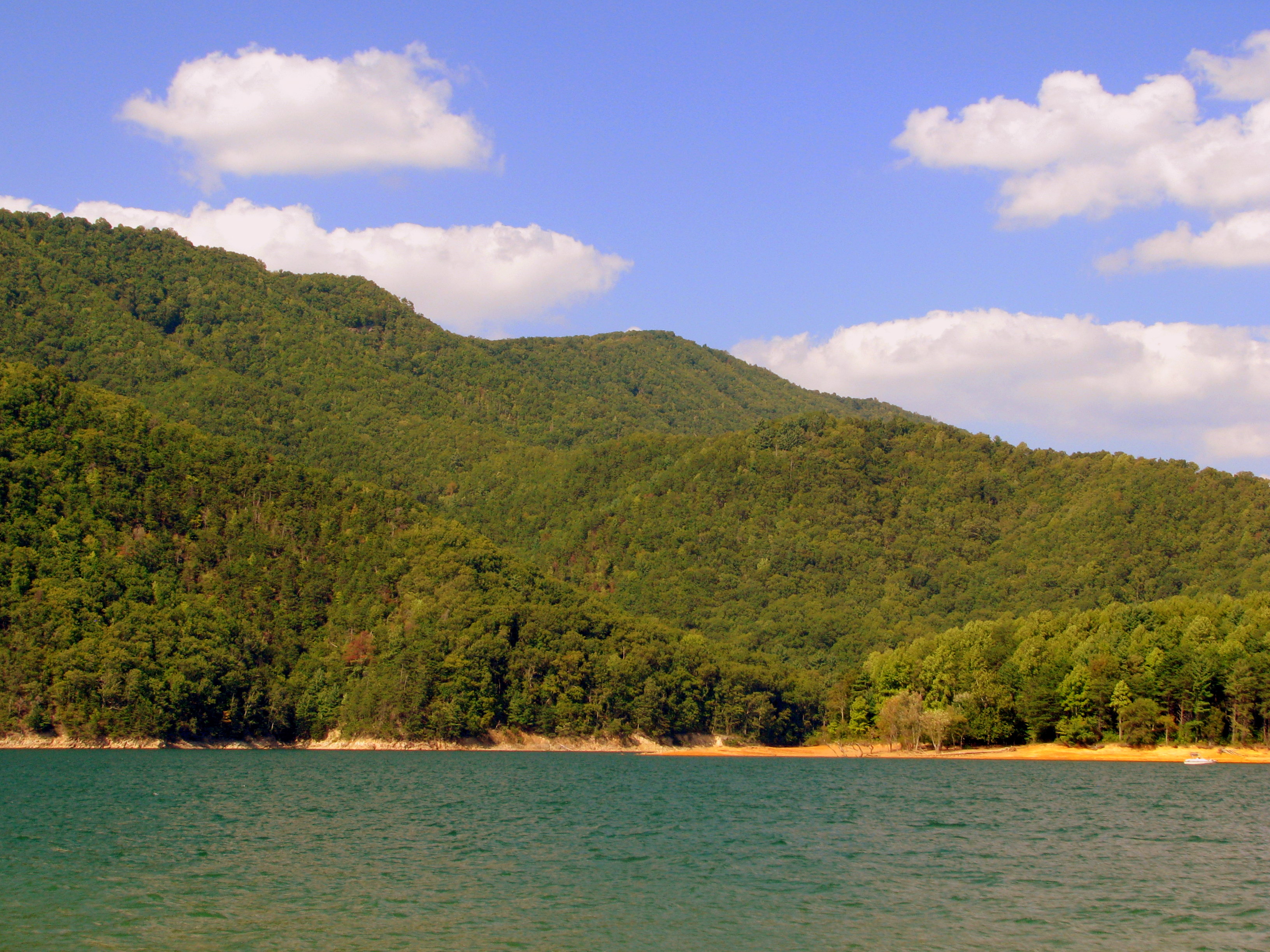
Watauga Lake

Dragons Breath

Lake Mirror Pano

C.R. "Doodle" White Overlook

Twisting Falls
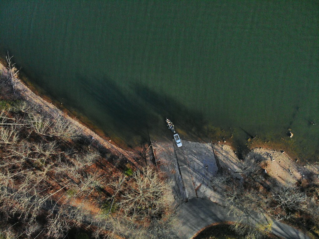
Loading the boat
IMG_1482.jpg

C.R. "Doodle" White Overlook
Old Cabin, Osborne Tract, Shady Valley, TN2
Topographic Map of Boone Ridge, Mountain City, TN, USA
Find elevation by address:

Places near Boone Ridge, Mountain City, TN, USA:
298 Valley Creek Rd
1254 Preserve Way
1464 Little Dry Run Rd
481 Draft Rd
841 Draft Rd
Tom Bunton Lane
Tom Bunton Lane
Roan Creek Road
1246 Avery Branch Rd
1246 Avery Branch Rd
8792 Roan Creek Rd
6950 Roan Creek Rd
533 Harmon Rd
Cherokee Cove
622 Harmon Rd
Stone Mountain Road
Council Ward Road
526 Council Ward Rd
400 Frances Mcqueen Rd
1041 Locust Gap Rd
Recent Searches:
- Elevation of Congressional Dr, Stevensville, MD, USA
- Elevation of Bellview Rd, McLean, VA, USA
- Elevation of Stage Island Rd, Chatham, MA, USA
- Elevation of Shibuya Scramble Crossing, 21 Udagawacho, Shibuya City, Tokyo -, Japan
- Elevation of Jadagoniai, Kaunas District Municipality, Lithuania
- Elevation of Pagonija rock, Kranto 7-oji g. 8"N, Kaunas, Lithuania
- Elevation of Co Rd 87, Jamestown, CO, USA
- Elevation of Tenjo, Cundinamarca, Colombia
- Elevation of Côte-des-Neiges, Montreal, QC H4A 3J6, Canada
- Elevation of Bobcat Dr, Helena, MT, USA