Elevation of Boon Township, IN, USA
Location: United States > Indiana > Warrick County >
Longitude: -87.281727
Latitude: 38.0529875
Elevation: 120m / 394feet
Barometric Pressure: 100KPa
Elevation Map:
Satellite Map:
Related Photos:

It's fall

Warrick County Court House, Boonville, Indiana

Worse For Wear... (A Reprise)
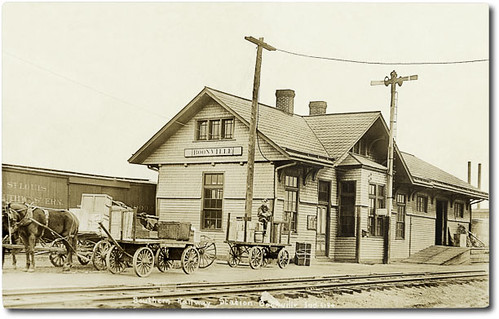
Southern Railway Station, Boonville, Indiana
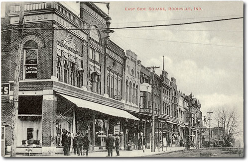
East side of court house square, Boonville, Indiana
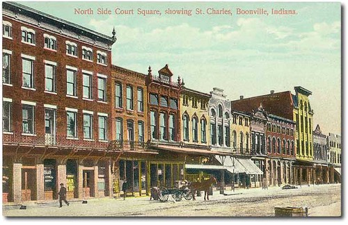
North side of court house square, Boonville, Indiana

Victoria National Golf Course - 18th Hole View From Tee Box
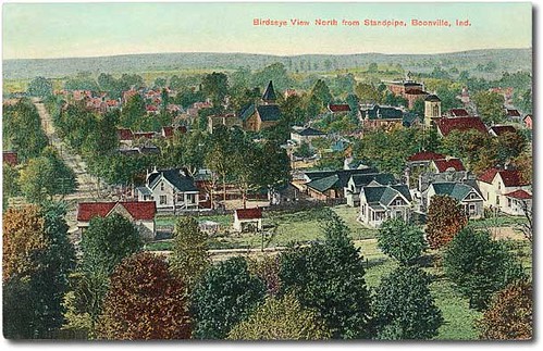
Bird's-eye view west from the standpipe, Boonville, Indiana

U.S. Senator Hemenway residence, Boonville, Indiana

Victoria National Golf Course - 14th Hole (6-Inch Tee Marker)

Glacial crevasse view & looking down at blue ice. Like the sky, it reflects blue because all other wavelengths of light are absorbed

Reaching For A Piece Of The Sun... (We all reach for that star sometimes)

Wings In Motion

A Beautiful View, On A Cloudy Day

"If You Like Piña Coladas And...."

That's A Big Straw!!

Standing Stiff

Worse For Wear.....

A Soldier's Work Is Never Done

Wildflowers In Hoosier National Forest

Nice view

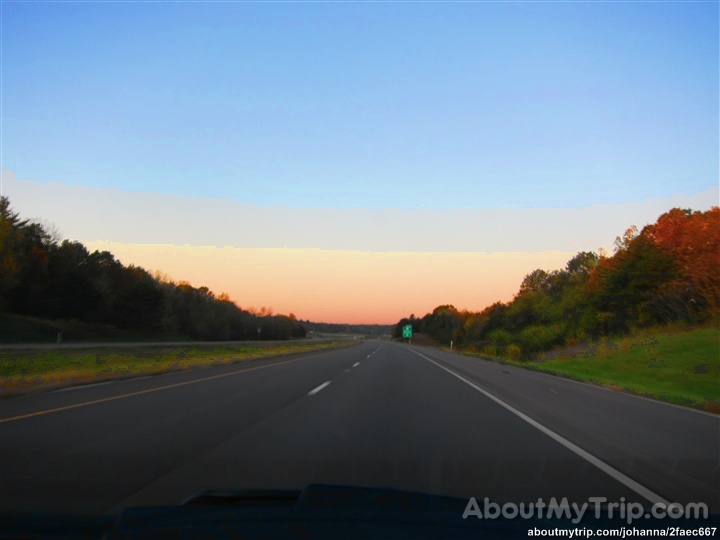
Another Indiana sunset
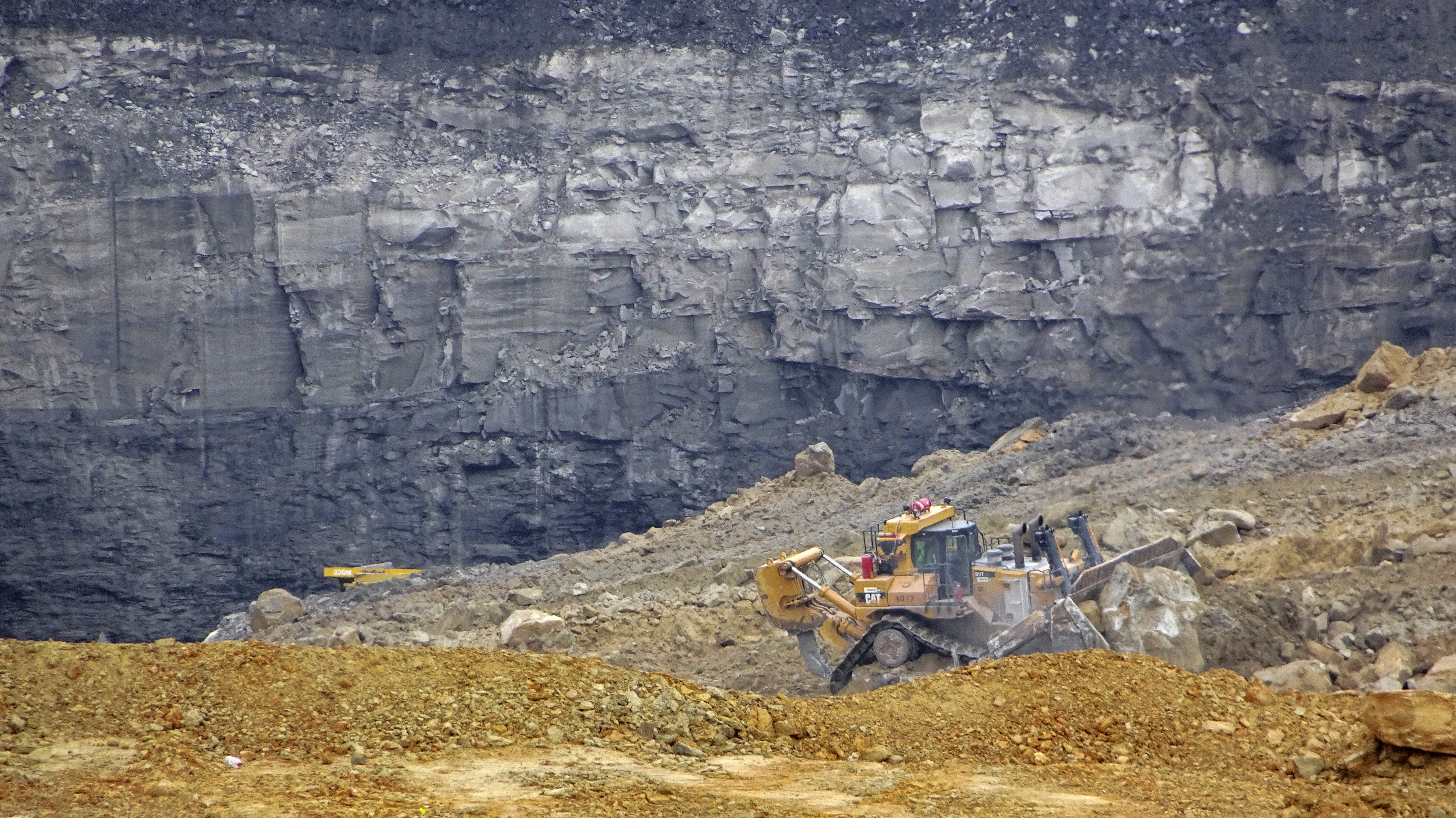
Coal Mine

Splendid!

#lovers in the cold

Sunset after the solstice
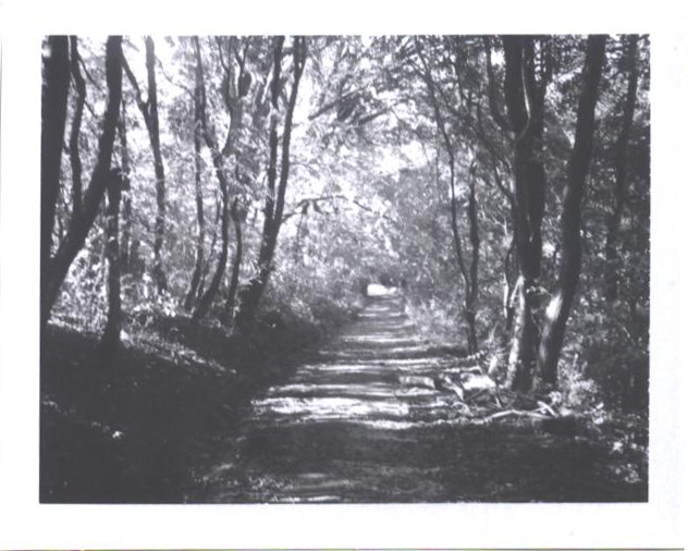
the beaten path
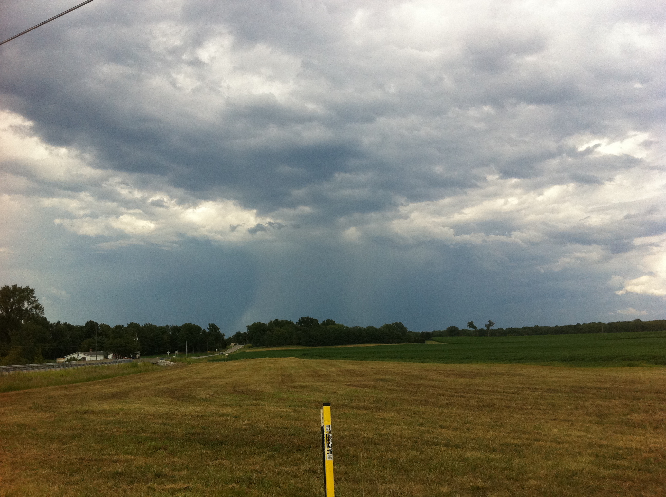
Deluge from a distance

Indiana.
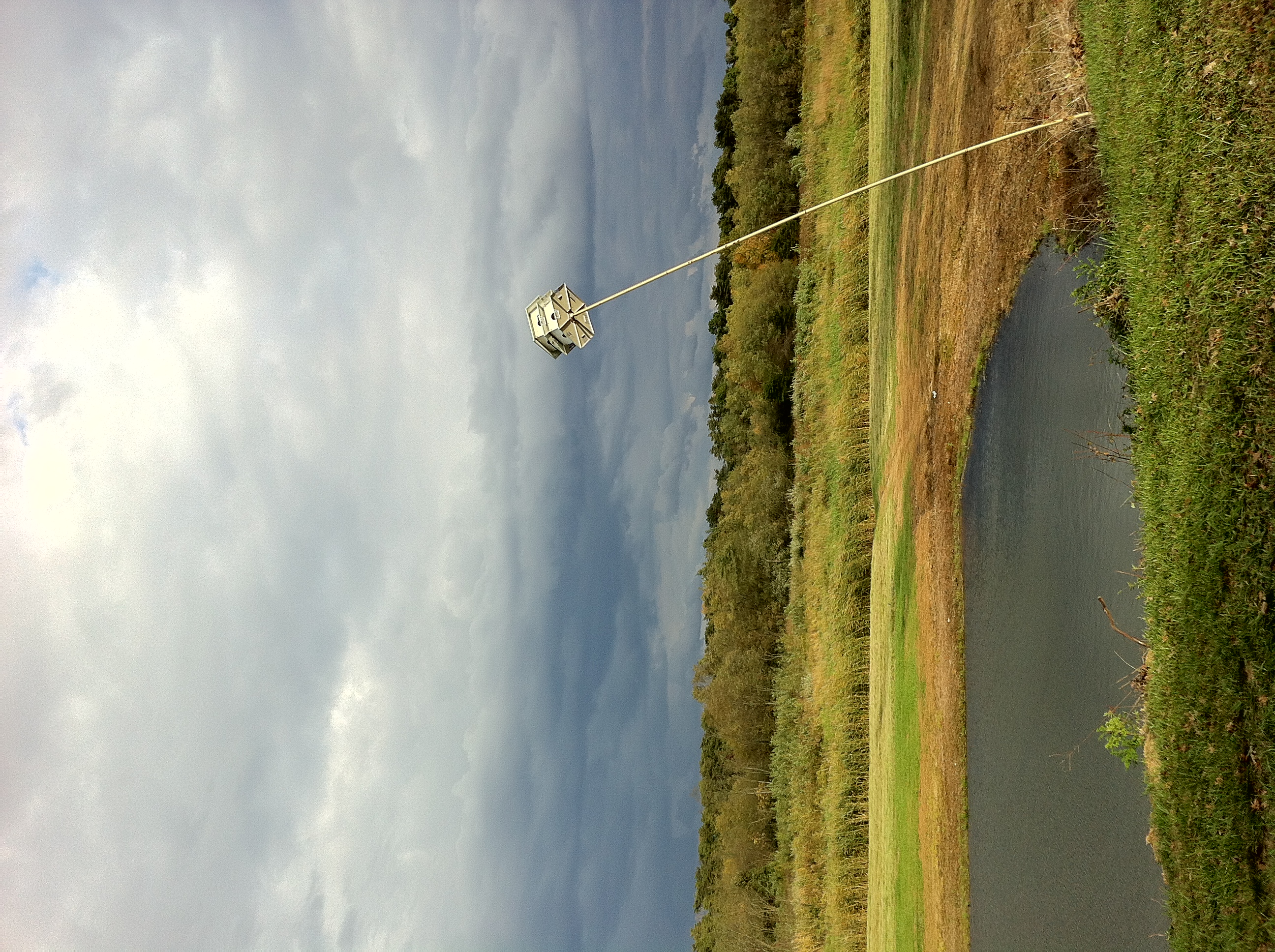
Little Breezy
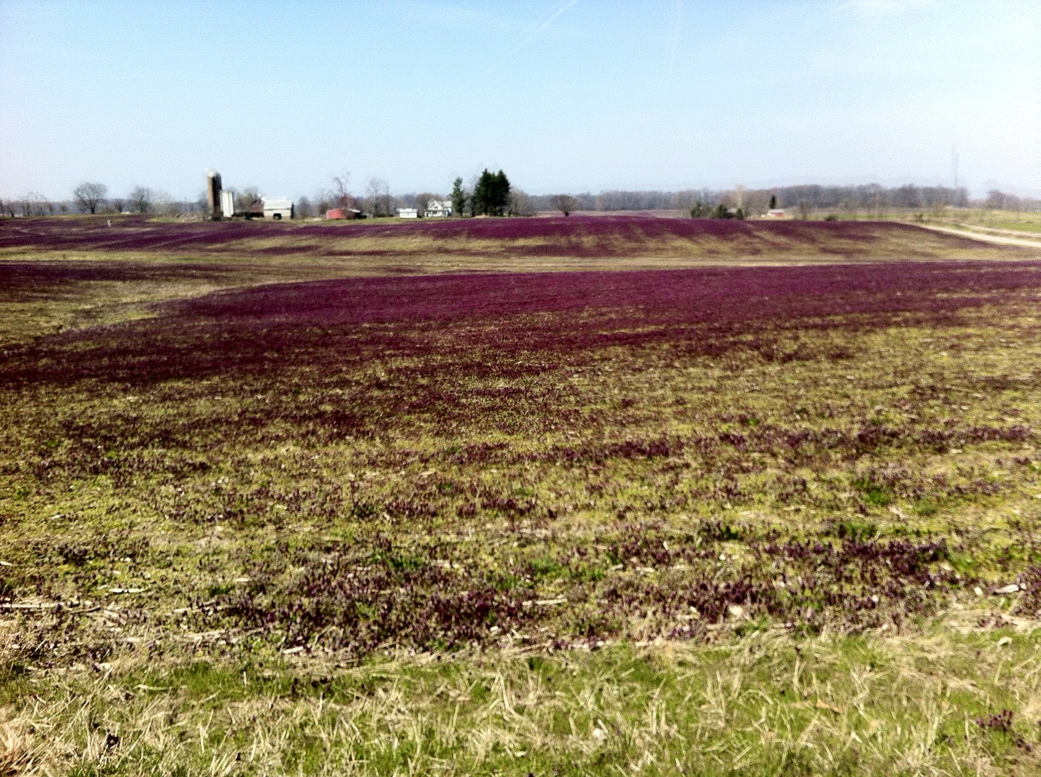
Purple fields

Aurda's Landscape
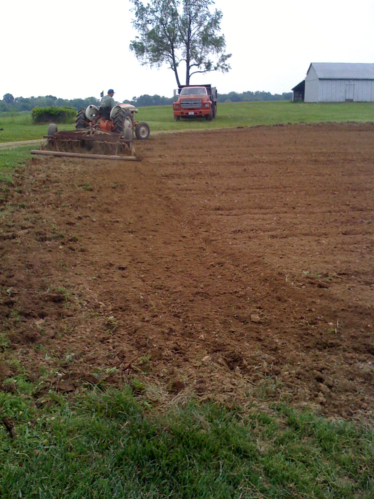
Disc-ing the garden instead of using the tiller

Take me to the river #talkingheads #takemetotheriver #river #ohioriver #newburgh #indiana #discoverindiana #exploregeorgia #america #sunset #sky #skyporn #vsco #vscocam #vscogrid
Indiana, Warrick County
Topographic Map of Boon Township, IN, USA
Find elevation by address:

Places in Boon Township, IN, USA:
Places near Boon Township, IN, USA:
705 N Cypress
701 W Locust St
1 County Square, Boonville, IN, USA
Boonville
1888 N State Rte 61
2699 In-62
1733 W Maple Grove Rd
Warrick County
4155 Eby Rd
200 Mourning Dove Ln
1266 W New Hope Rd
Chandler
5200 N Folsomville Rd
2866 E Tennyson Rd
S Bullocktown Rd, Boonville, IN, USA
Weyerbacher Rd, Chandler, IN, USA
IN-, Newburgh, IN, USA
7455 Tyring Dr
Campbell Township
Heim Rd, Chandler, IN, USA
Recent Searches:
- Elevation of Corso Fratelli Cairoli, 35, Macerata MC, Italy
- Elevation of Tallevast Rd, Sarasota, FL, USA
- Elevation of 4th St E, Sonoma, CA, USA
- Elevation of Black Hollow Rd, Pennsdale, PA, USA
- Elevation of Oakland Ave, Williamsport, PA, USA
- Elevation of Pedrógão Grande, Portugal
- Elevation of Klee Dr, Martinsburg, WV, USA
- Elevation of Via Roma, Pieranica CR, Italy
- Elevation of Tavkvetili Mountain, Georgia
- Elevation of Hartfords Bluff Cir, Mt Pleasant, SC, USA