Elevation of Bonneville, France
Location: France > Haute-savoie >
Longitude: 6.409053
Latitude: 46.0780249
Elevation: 442m / 1450feet
Barometric Pressure: 96KPa
Elevation Map:
Satellite Map:
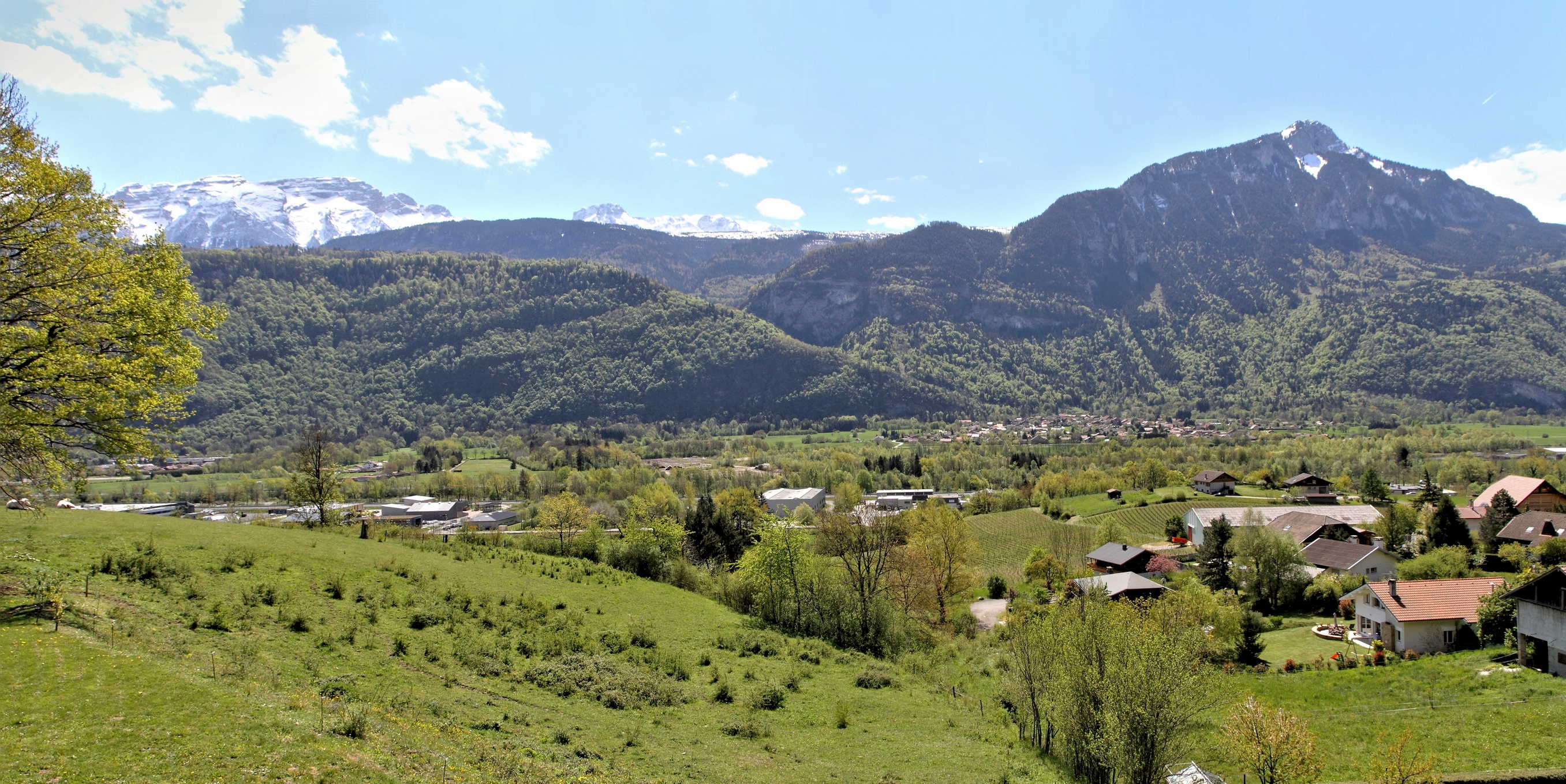
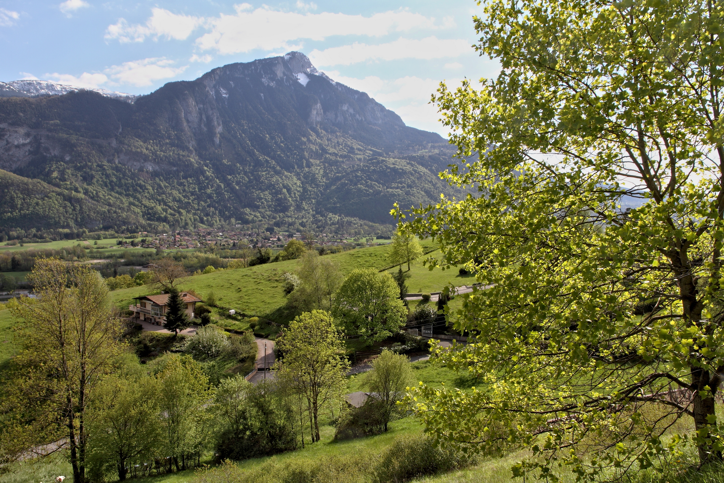
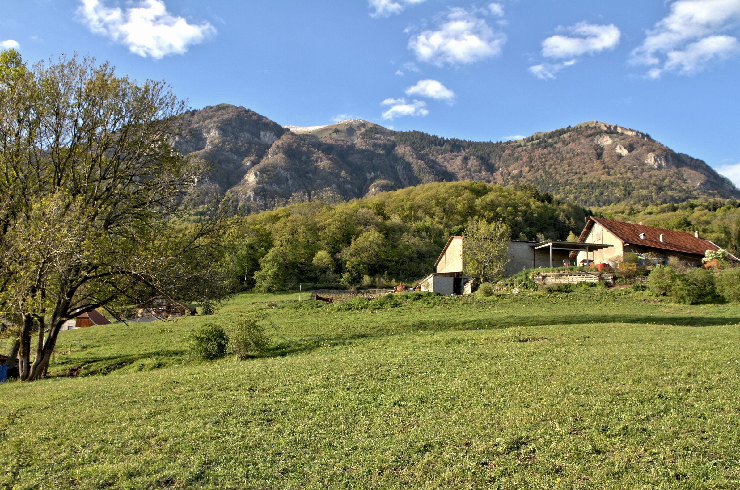
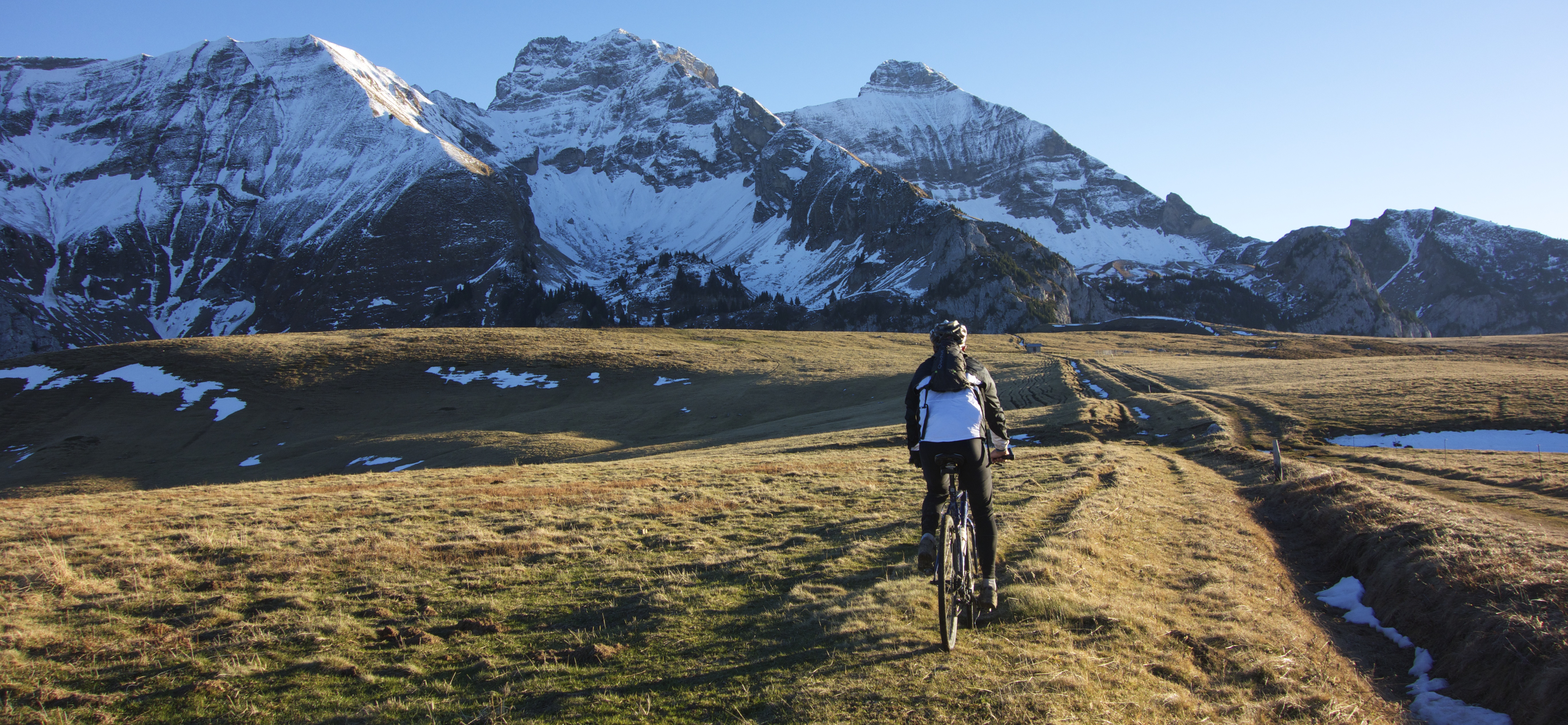
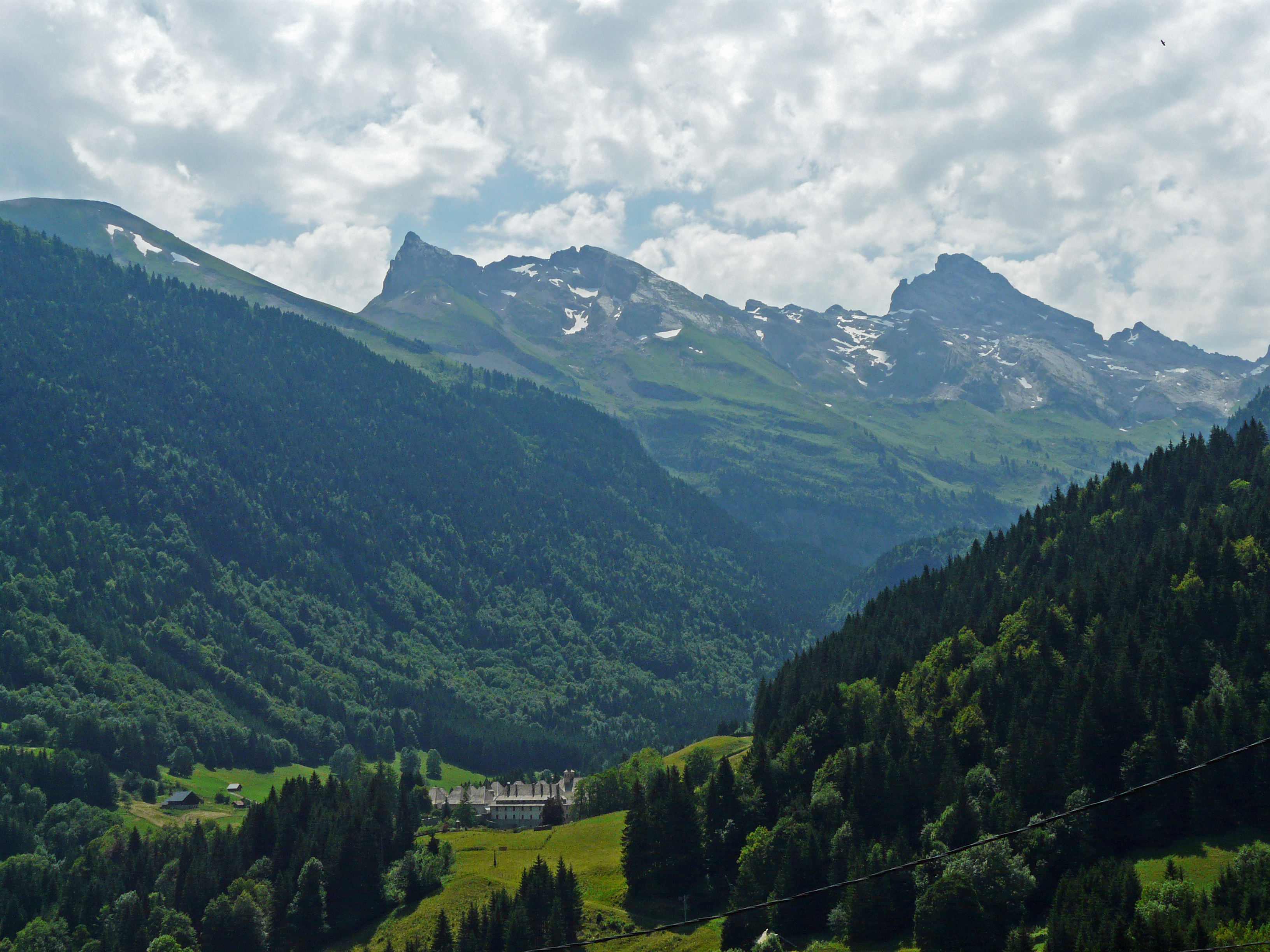
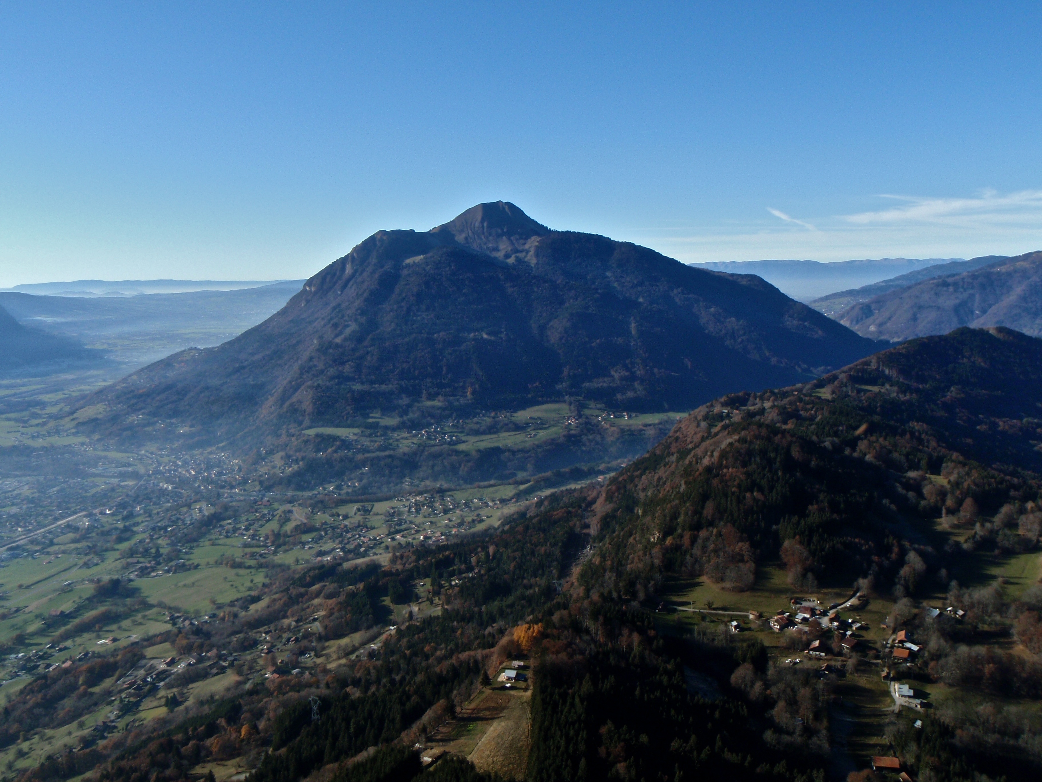
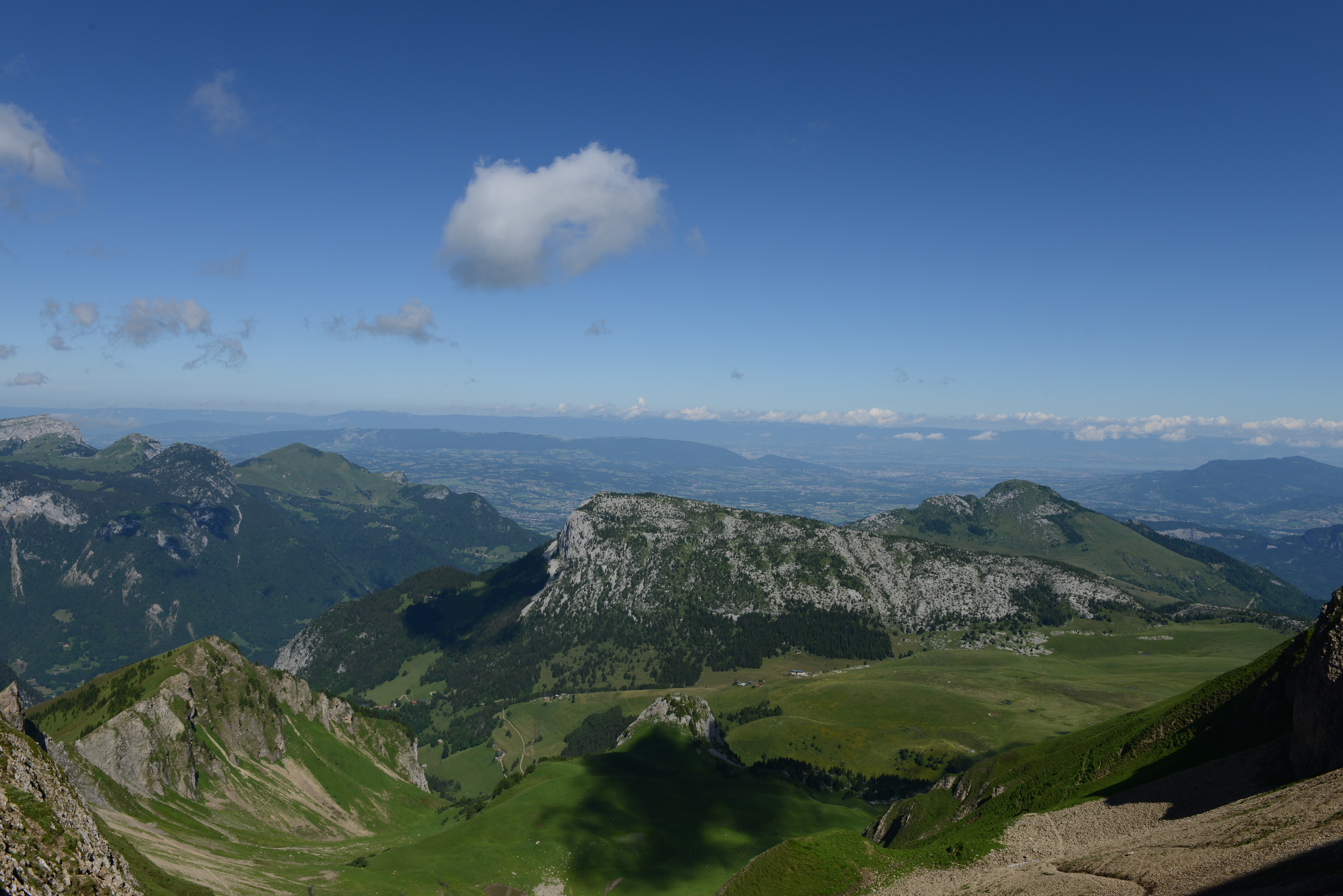
Related Photos:

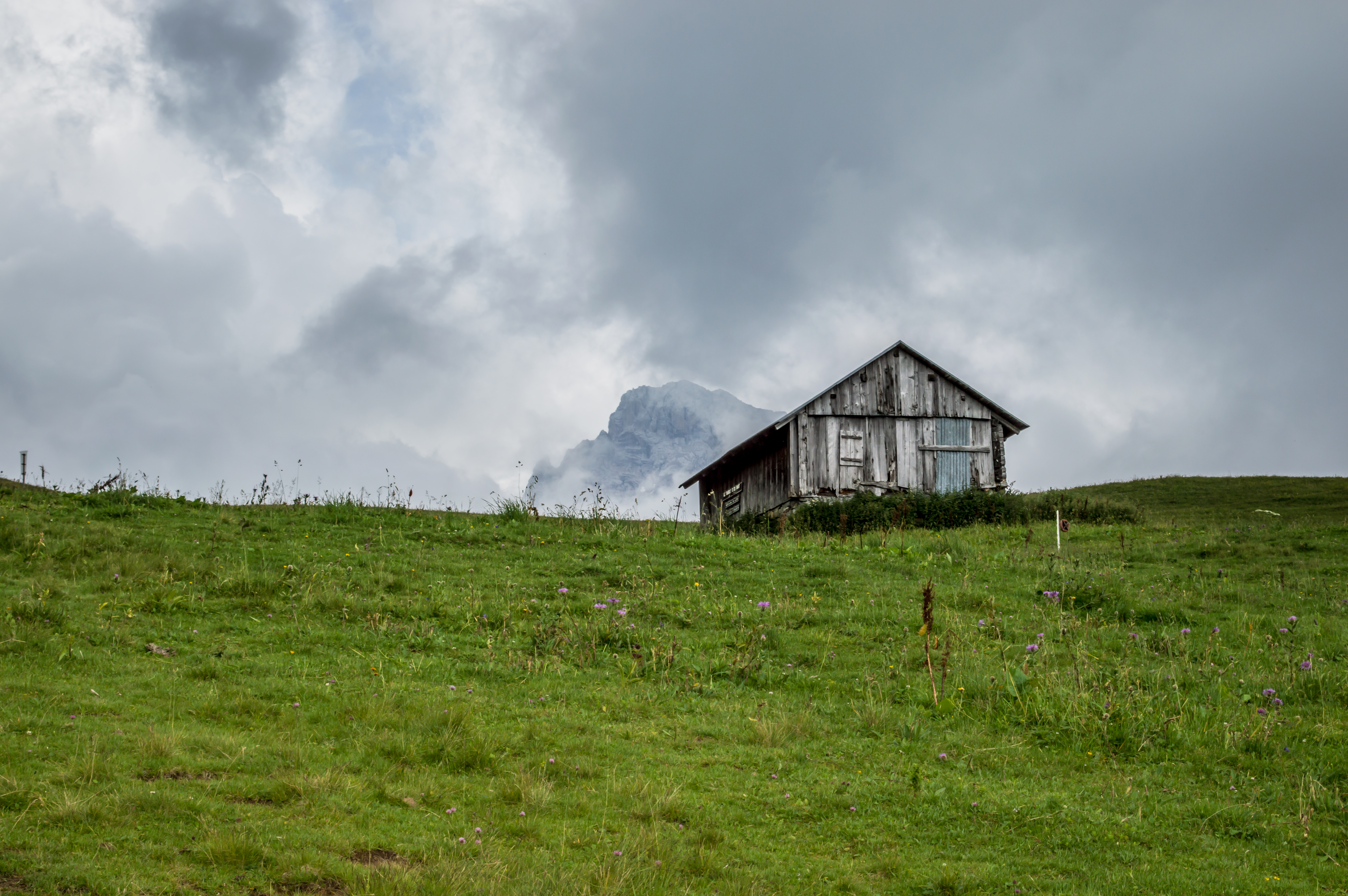
Guillerette ...

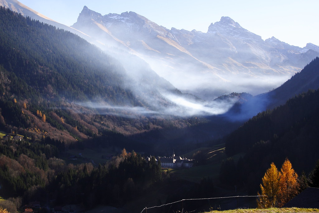
La chaîne du Bargy
Le paysage de ma jeunesse
La Pointe d'Andey (1877 m)
Le Môle

Montagnes dans la nuit

have you seen the light ?
From Col du Cenise
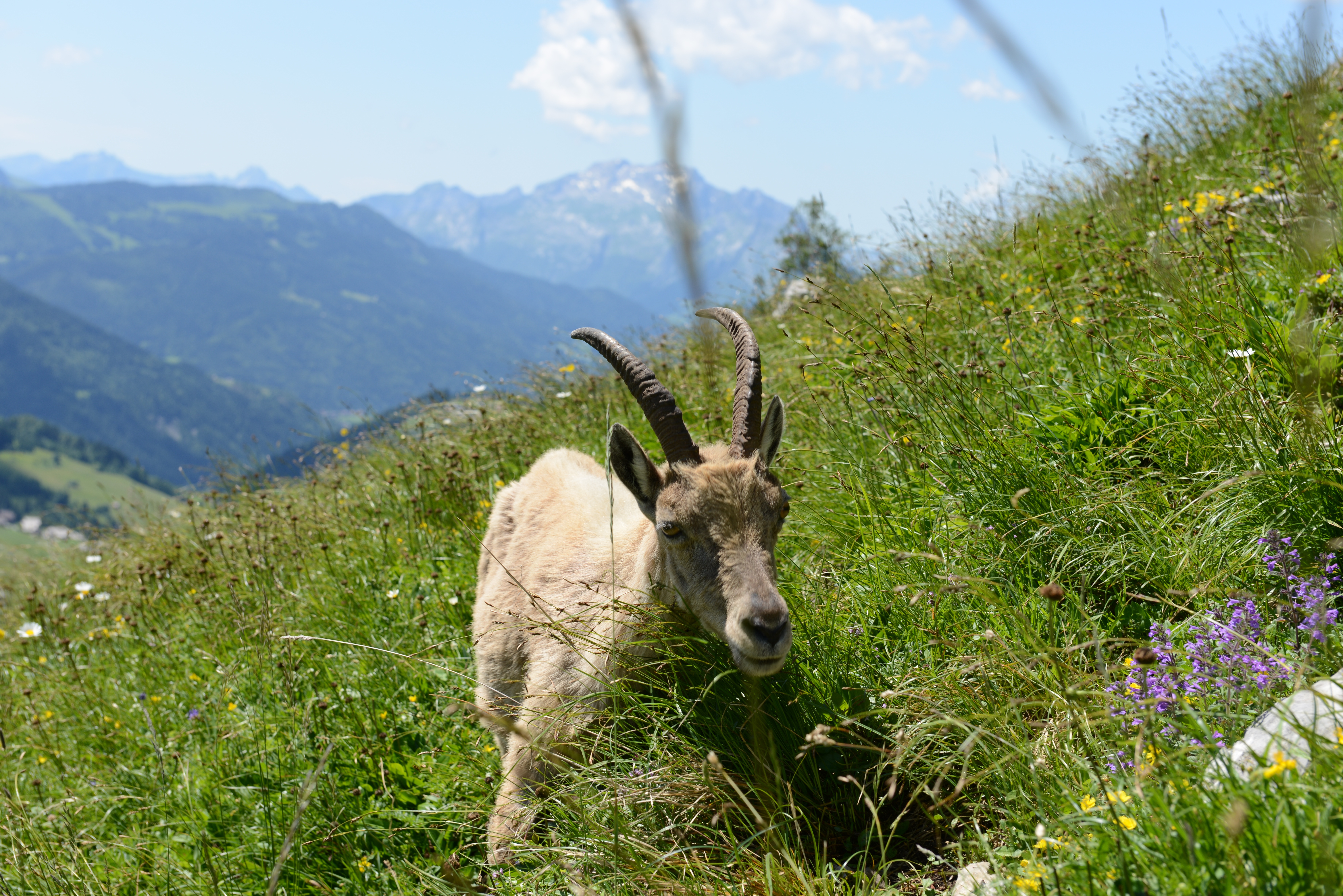
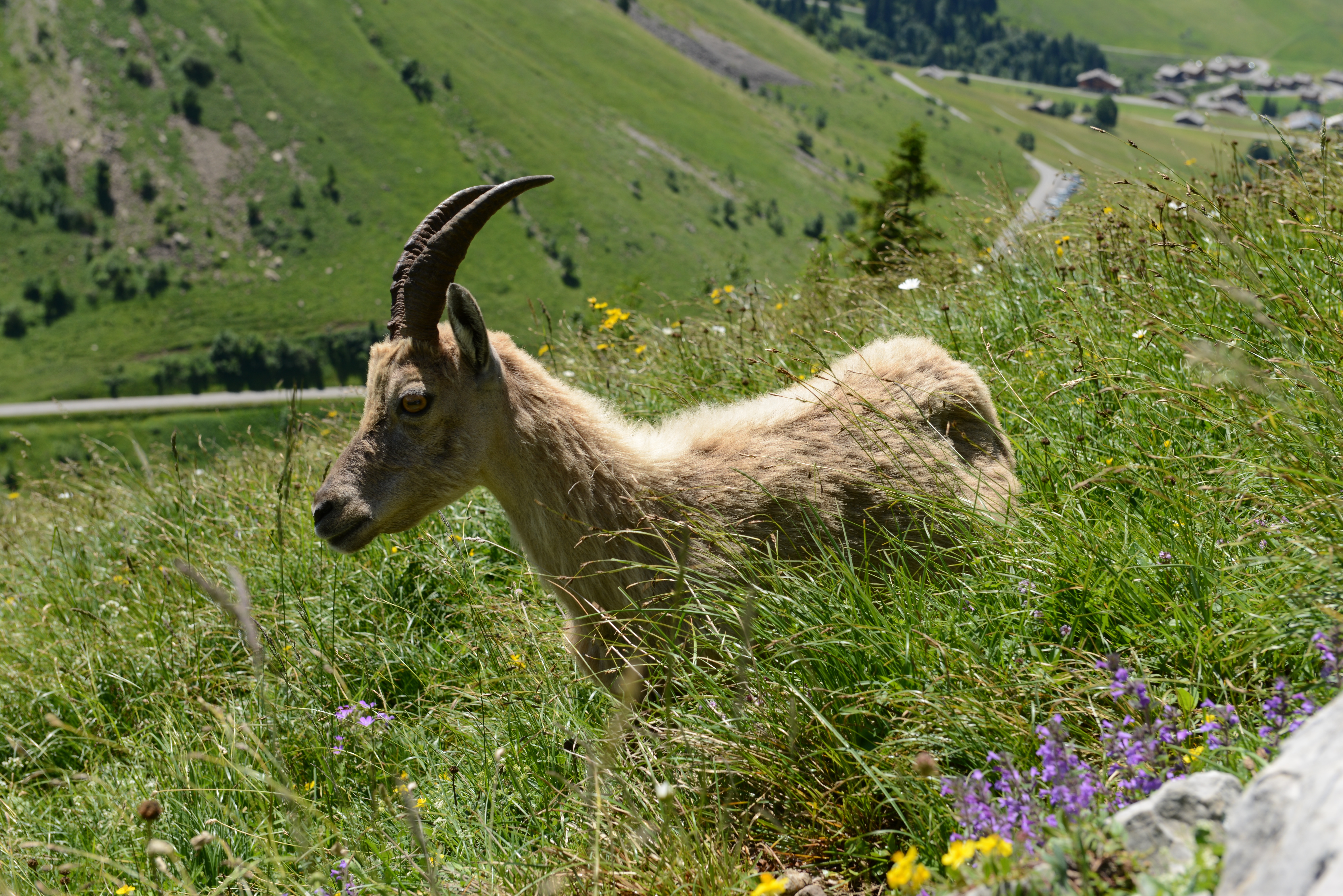
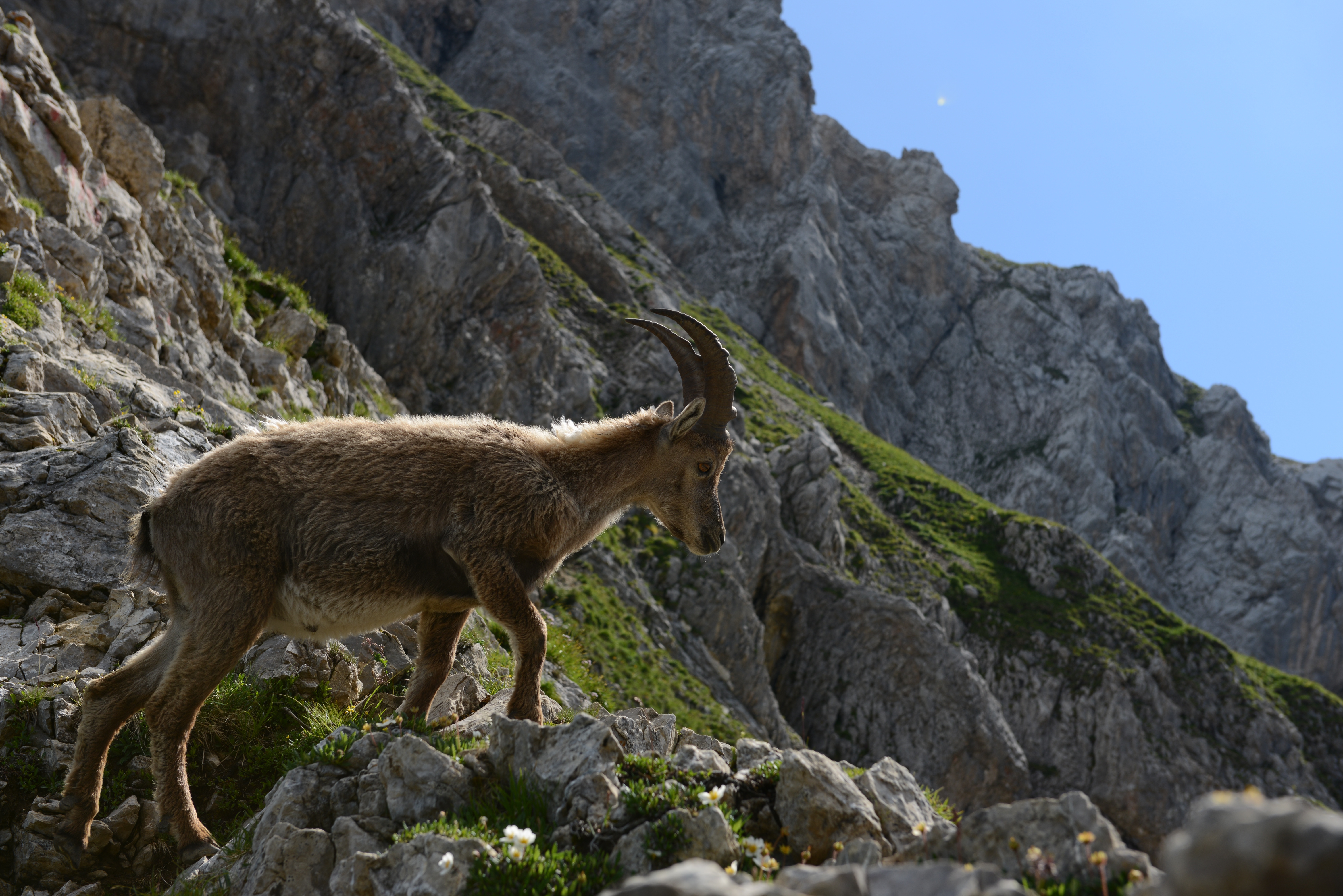
Bouquetin so close !
That leaf looks sooo tasty
Seul au monde - Lac Béni

View over last vestige of the fortress of the Counts of Geneva @ La Roche sur Foron #HauteSavoie XIIIeme
au menu...
View of "drip drop droopy" - Friday, 22 August 2014 - 20:22 GMT+0200
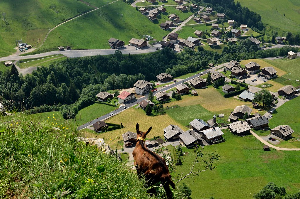
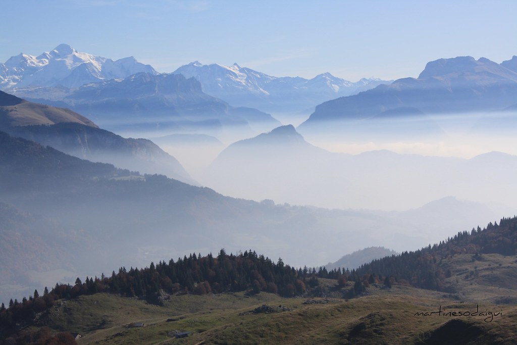
Valley view

The views were spectacular. This is the last 3km, which has a gradient between 10 and 12%. It's brutal.
Le Môle viewed from Mont Orchez
Dans le lointain ...

view of France, from our friends yard...
View of "Cercle, triangle et carré (feat. Sengai Gibon)" - Saturday, 20 September 2014 - 21:03 GMT+0200
Col du Rasoir
Le Môle...
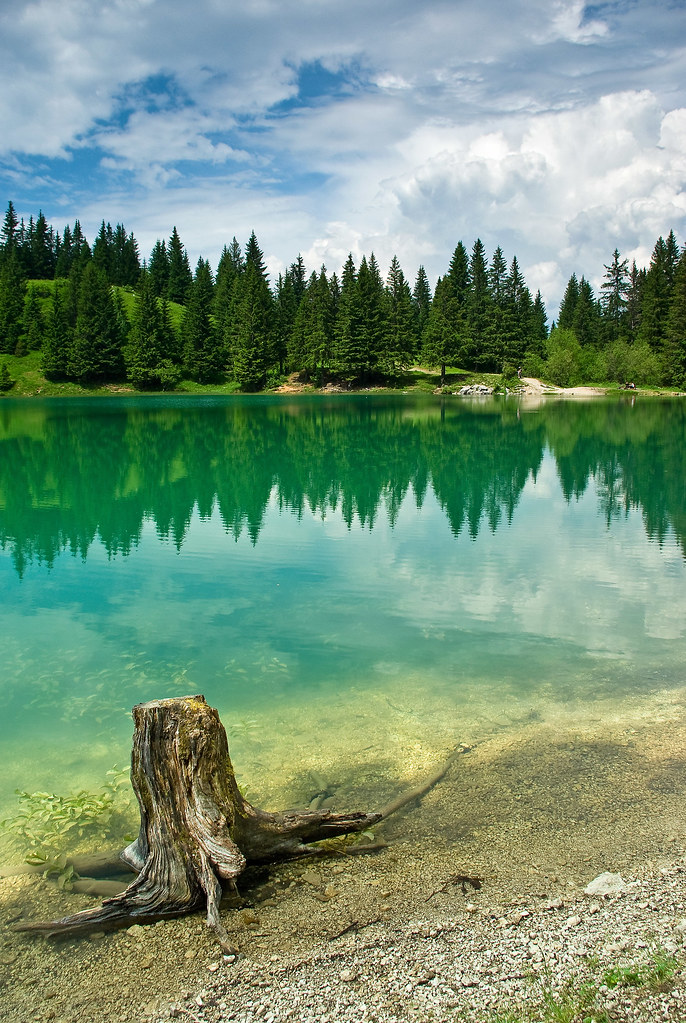
Lac Bénit, Haute Savoie, France
Début de journée...
Blotti dans les arbres blancs

Le Môle...
Contrefort de la Pointe Blanche - Buttress of Pointe Blanche
Sur la pointe de Miribel - Blue Planet
Effet de brume !...
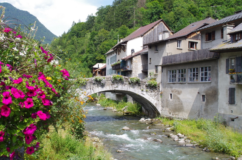
Vieux pont, Taninges
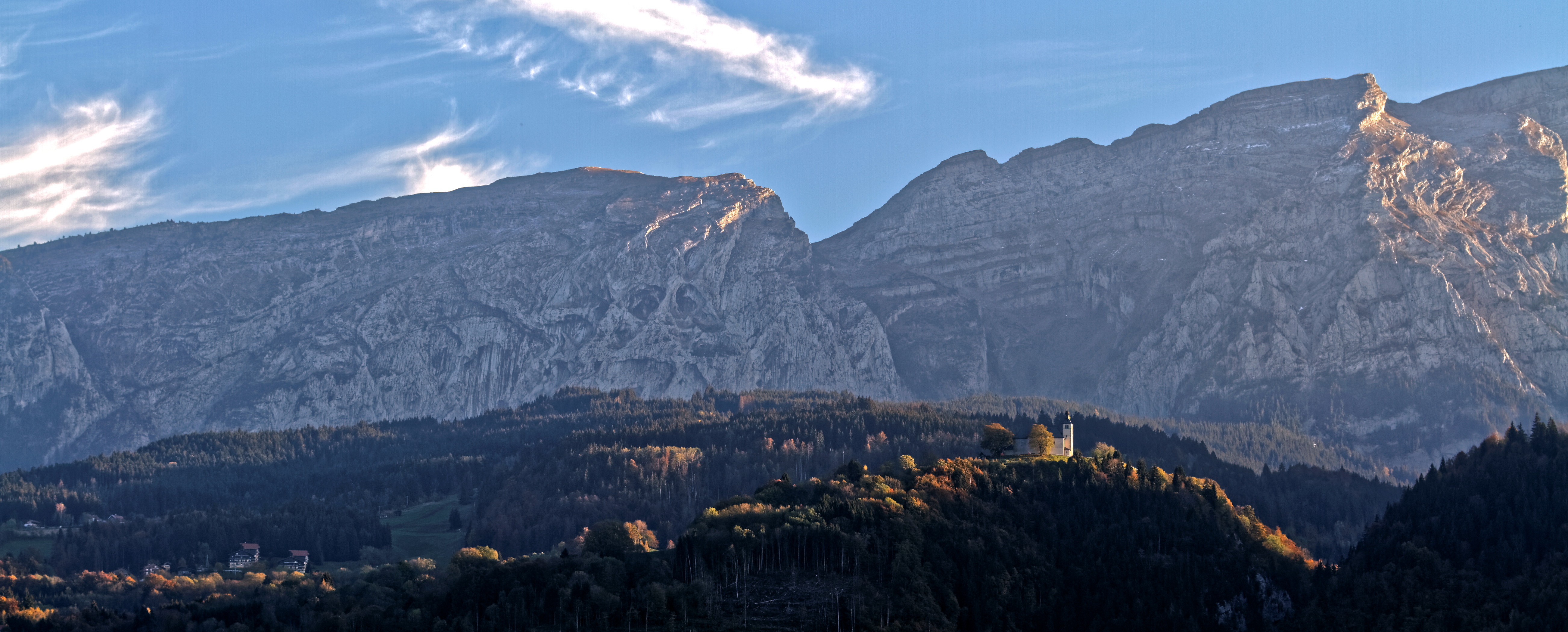
L'église du Mont Saxonnex vue depuis la vallée...,au fond, le massif du Bargy... (Haute Savoie - France)

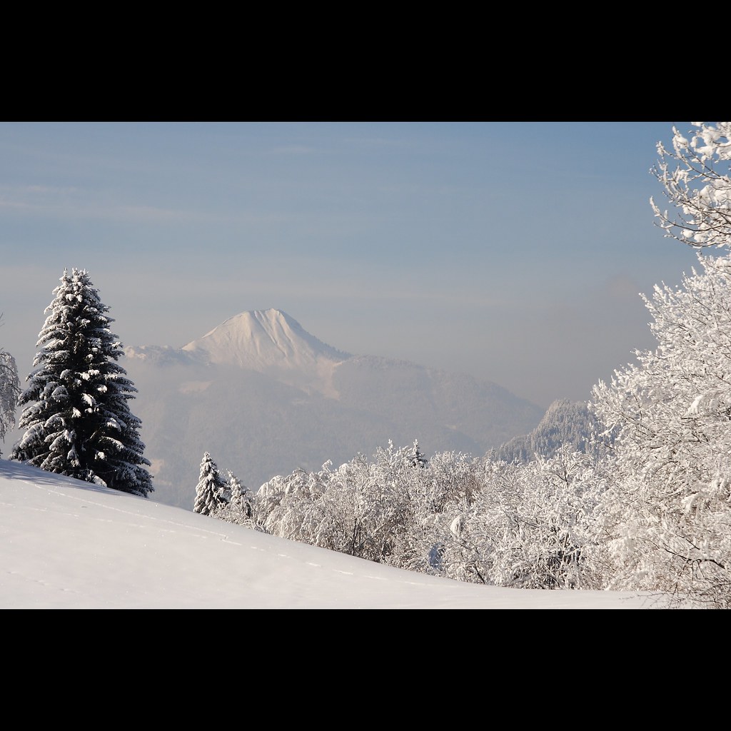
Mont Blanc in the Evening
Le Mont Blanc vu depuis la pointe de Miribel - Blue Planet

Brumes matinales...
La Clef des ânes.

Alpes > Glières

Vue du pare brise

# France, Haute Savoie, Le Grand Bornand, la chaine des Aravis.

Chartreuse du Reposoir-4559.jpg

Prélude
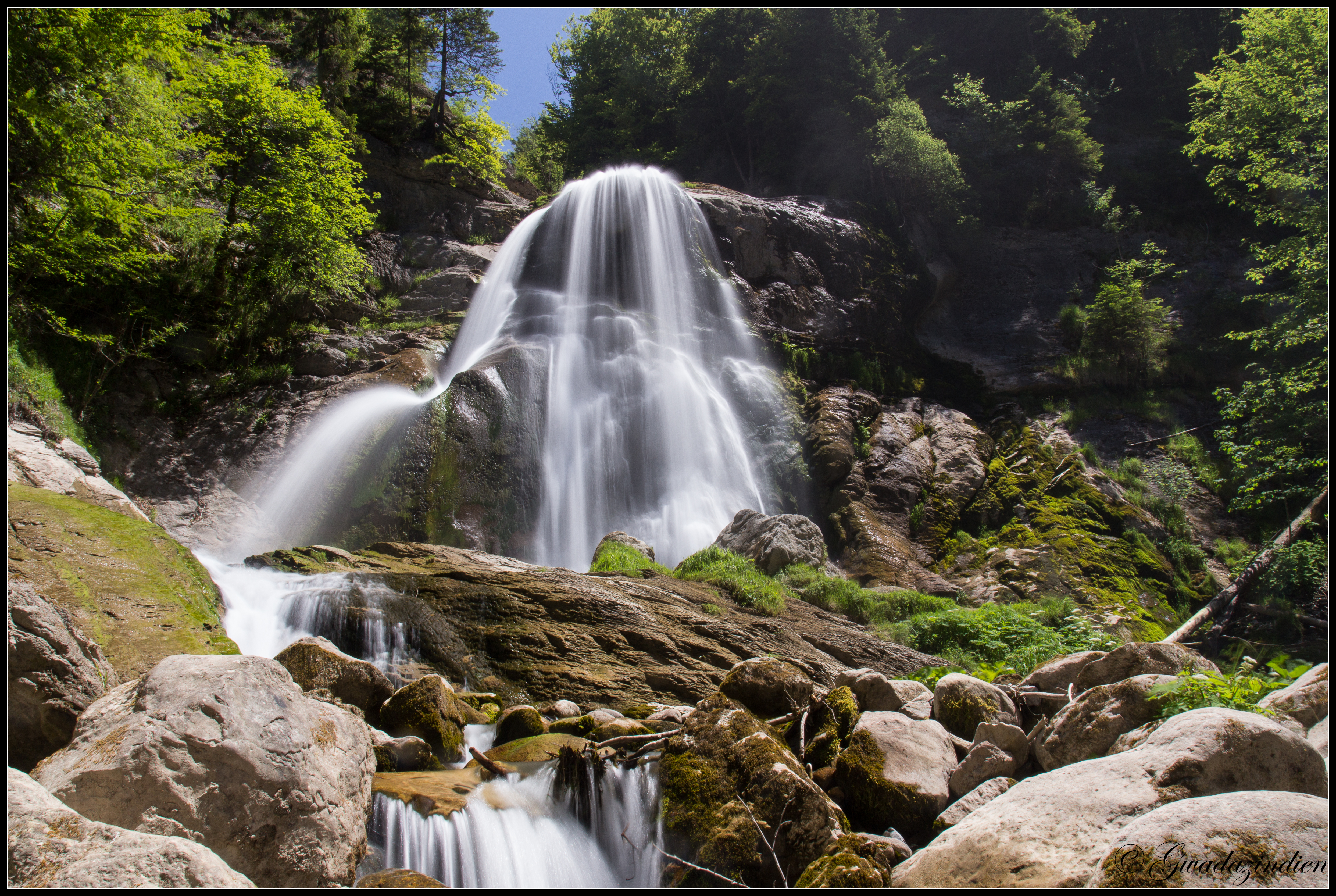
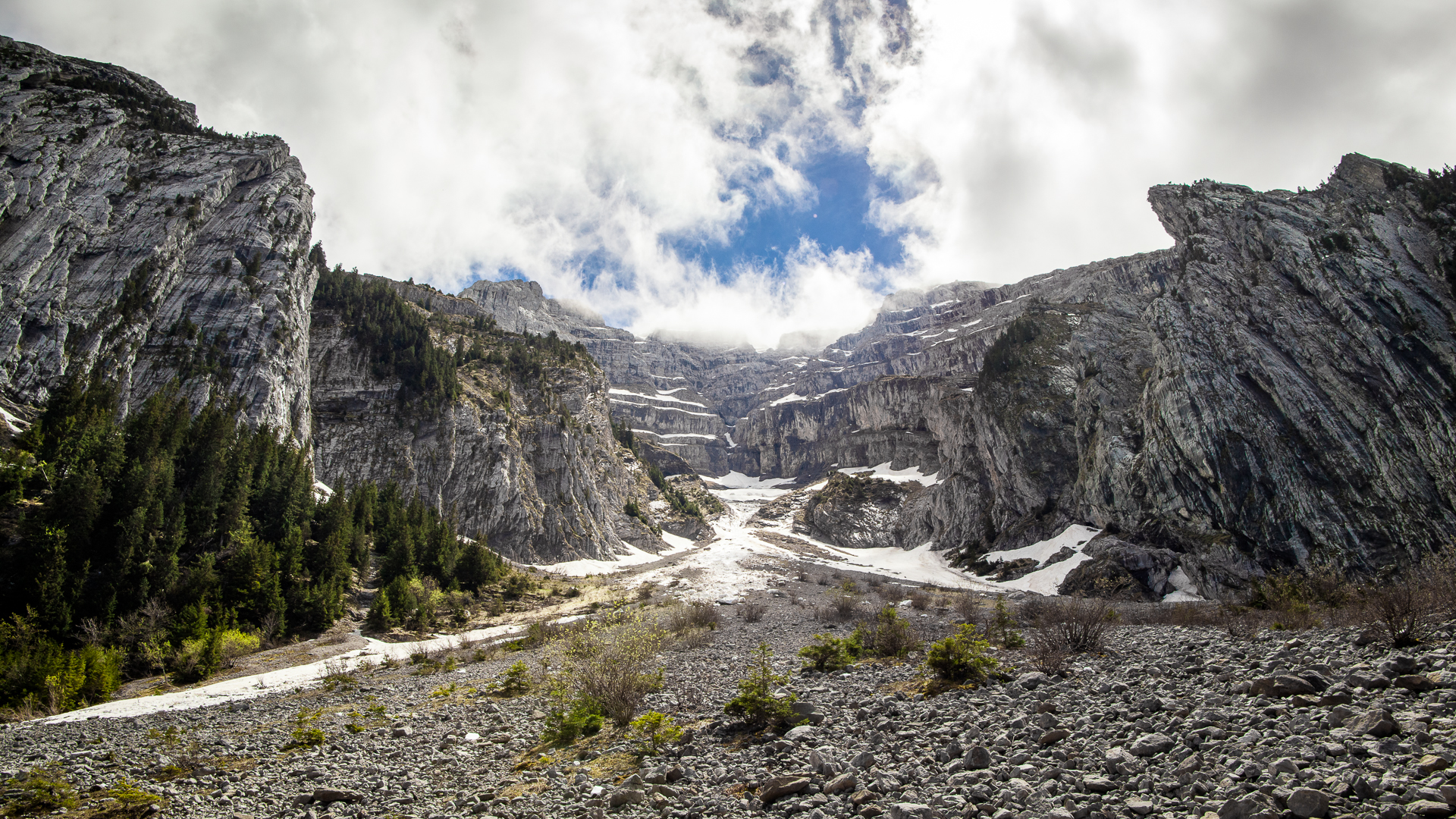
Cascade du Dard

Pointe de Sosay
Topographic Map of Bonneville, France
Find elevation by address:

Places in Bonneville, France:
Places near Bonneville, France:
Hameau de Dessy, Bonneville, France
Route de Bonneville, Ayse, France
Ayze
Saint-andré-de-boëge
DA, Saint-André-de-Boëge, France
Onnion
Mieussy
Boëge
90 Rue de la Chaumière, Thyez, France
Thyez
Route de Sommand, Mieussy, France
Burdignin
Boëge, France
Haute-savoie
Route des Presles, Châtillon-sur-Cluses, France
Cluses
Châtillon-sur-cluses
Taninges
5078b
Chalet De Parteset
Recent Searches:
- Elevation of Zu den Ihlowbergen, Althüttendorf, Germany
- Elevation of Badaber, Peshawar, Khyber Pakhtunkhwa, Pakistan
- Elevation of SE Heron Loop, Lincoln City, OR, USA
- Elevation of Slanický ostrov, 01 Námestovo, Slovakia
- Elevation of Spaceport America, Co Rd A, Truth or Consequences, NM, USA
- Elevation of Warwick, RI, USA
- Elevation of Fern Rd, Whitmore, CA, USA
- Elevation of 62 Abbey St, Marshfield, MA, USA
- Elevation of Fernwood, Bradenton, FL, USA
- Elevation of Felindre, Swansea SA5 7LU, UK