Elevation of Bonifay, FL, USA
Location: United States > Florida > Holmes County >
Longitude: -85.679653
Latitude: 30.7918559
Elevation: 40m / 131feet
Barometric Pressure: 101KPa
Elevation Map:
Satellite Map:
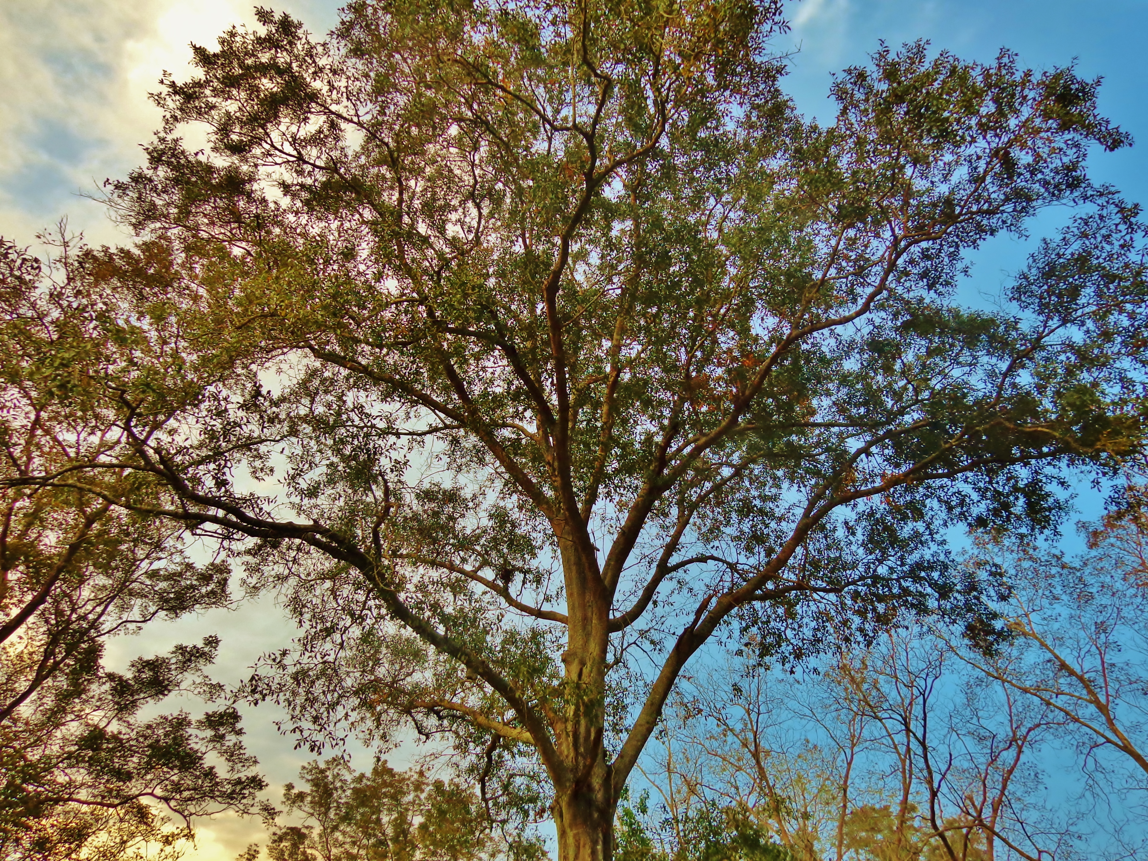
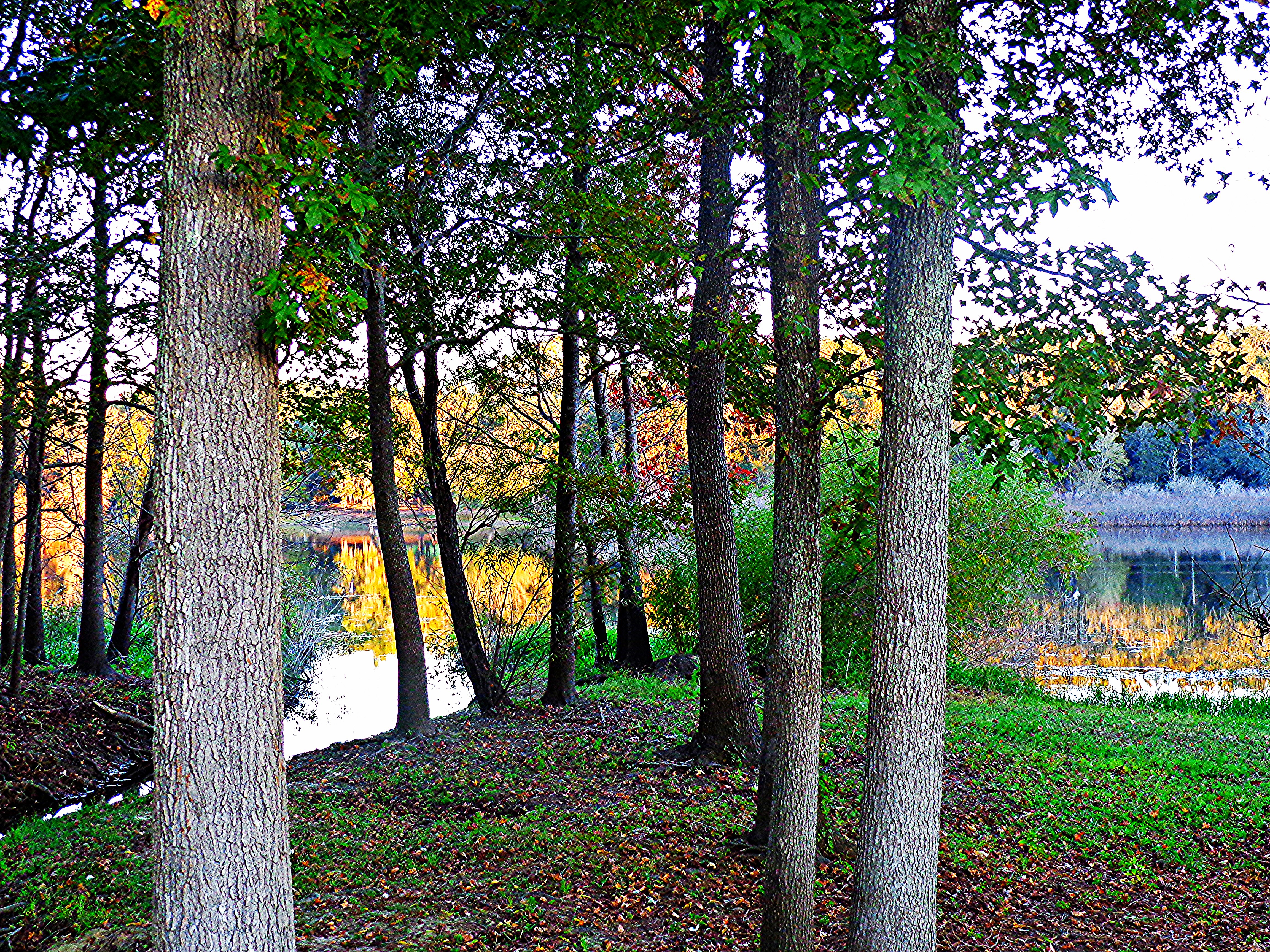
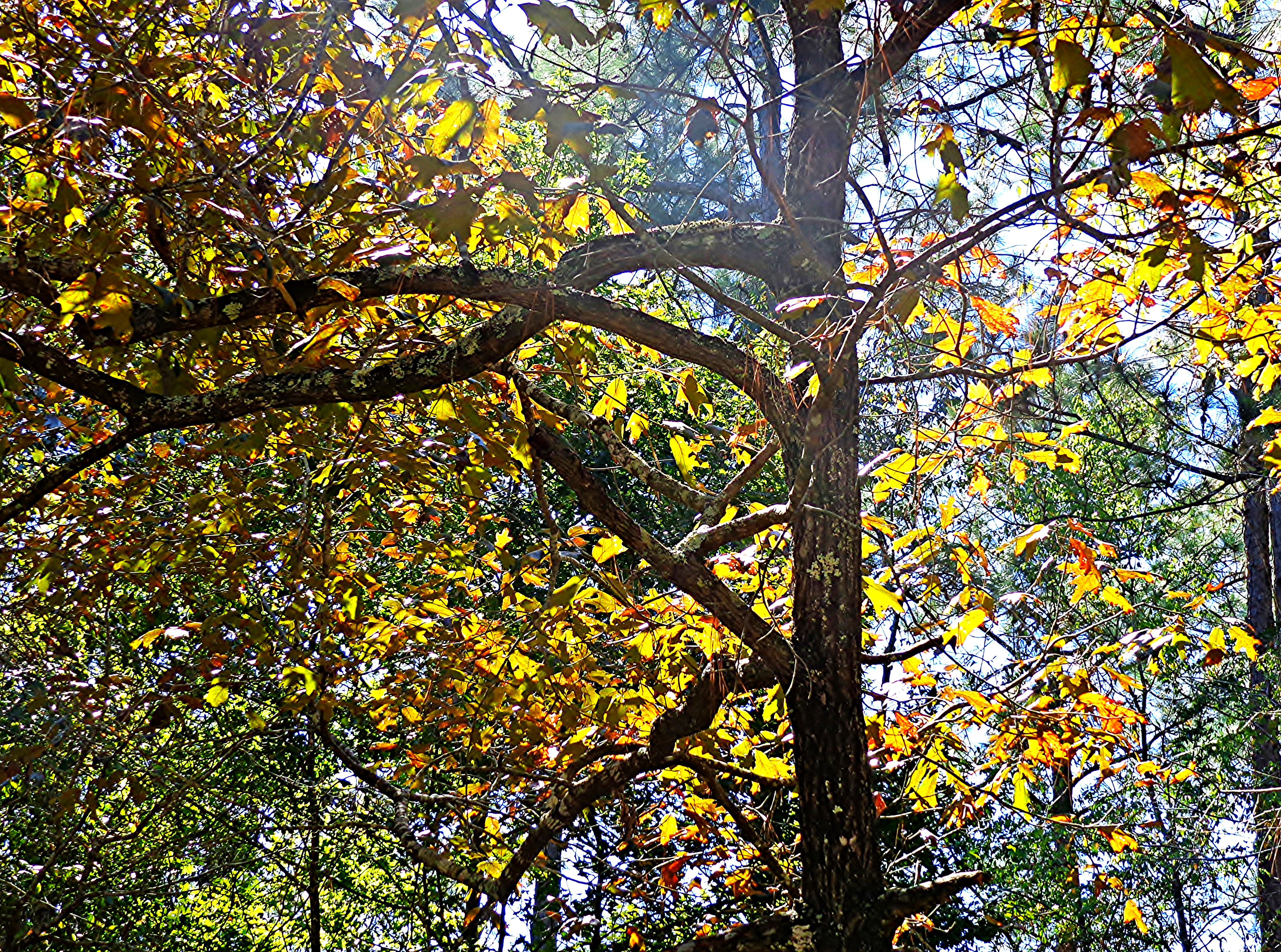
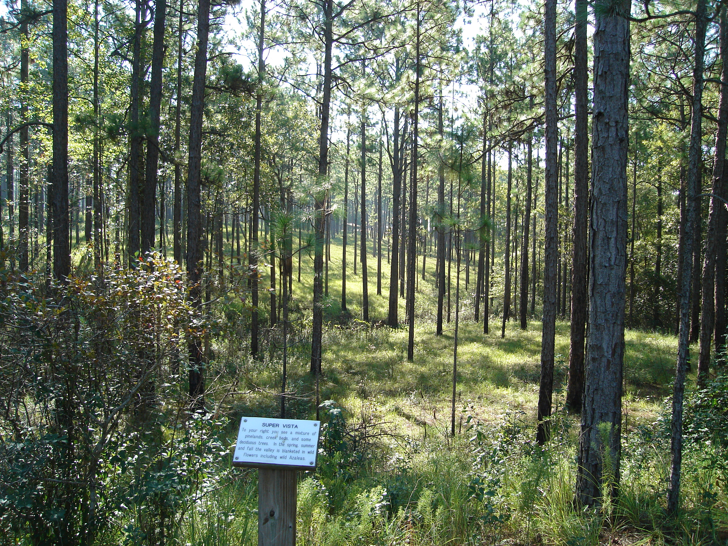
Related Photos:

"Dreaming As You Move Toward The Light"
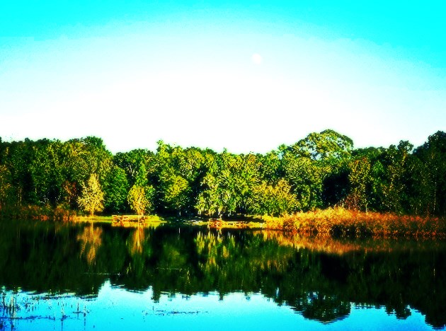
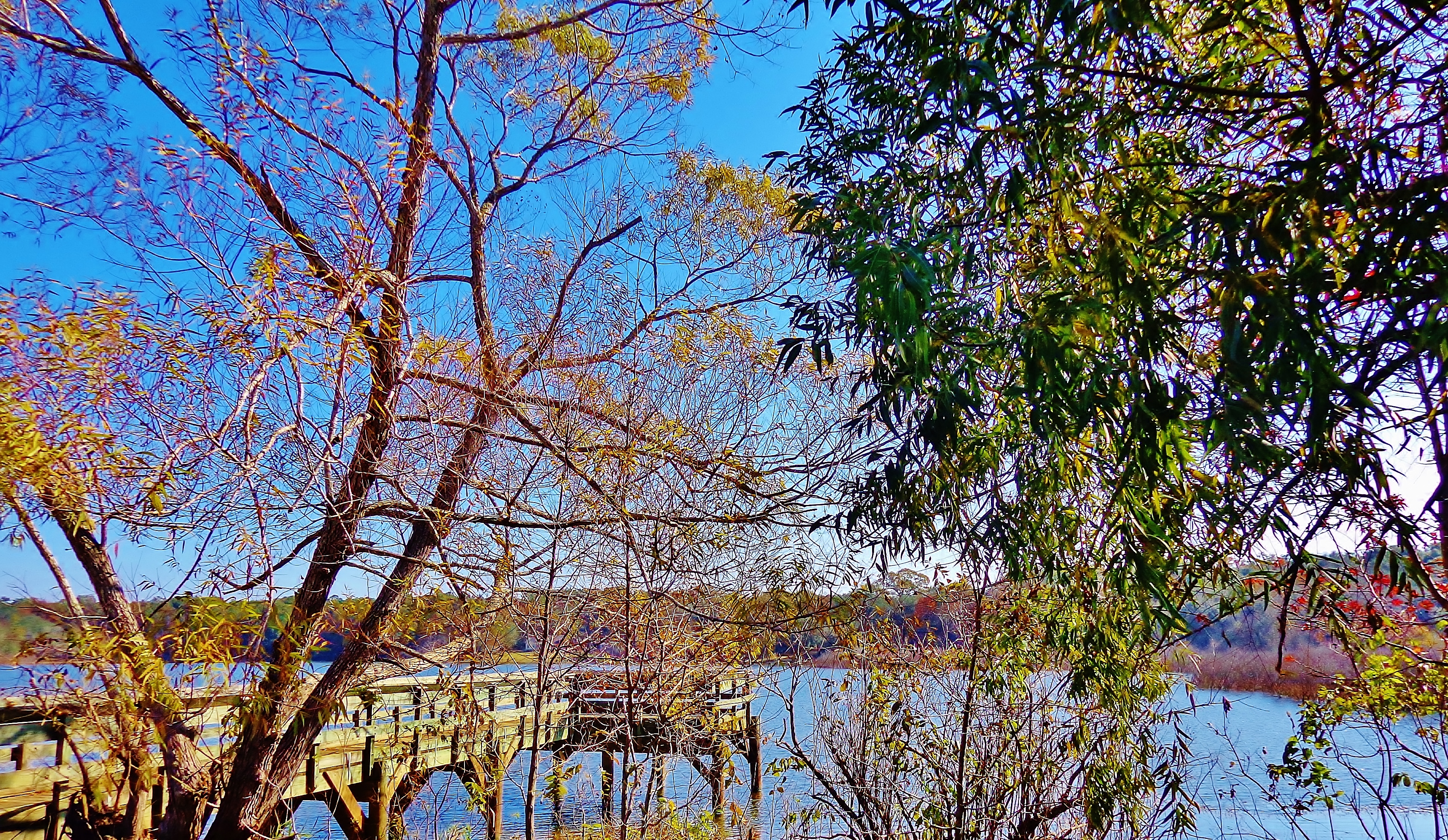
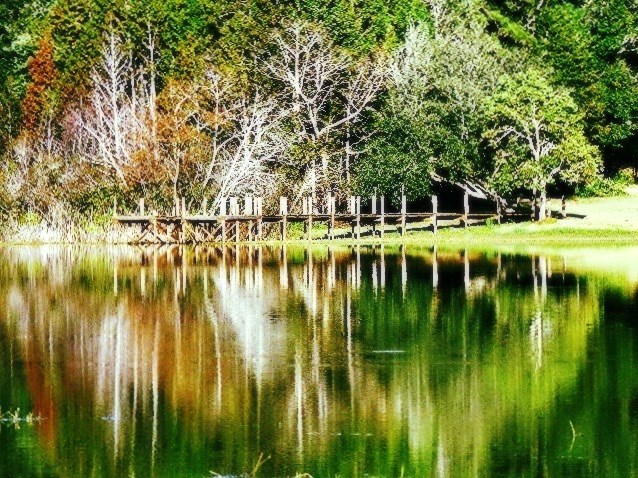
Blue Lake
~I See You~
Blue Lake

Blue Lake
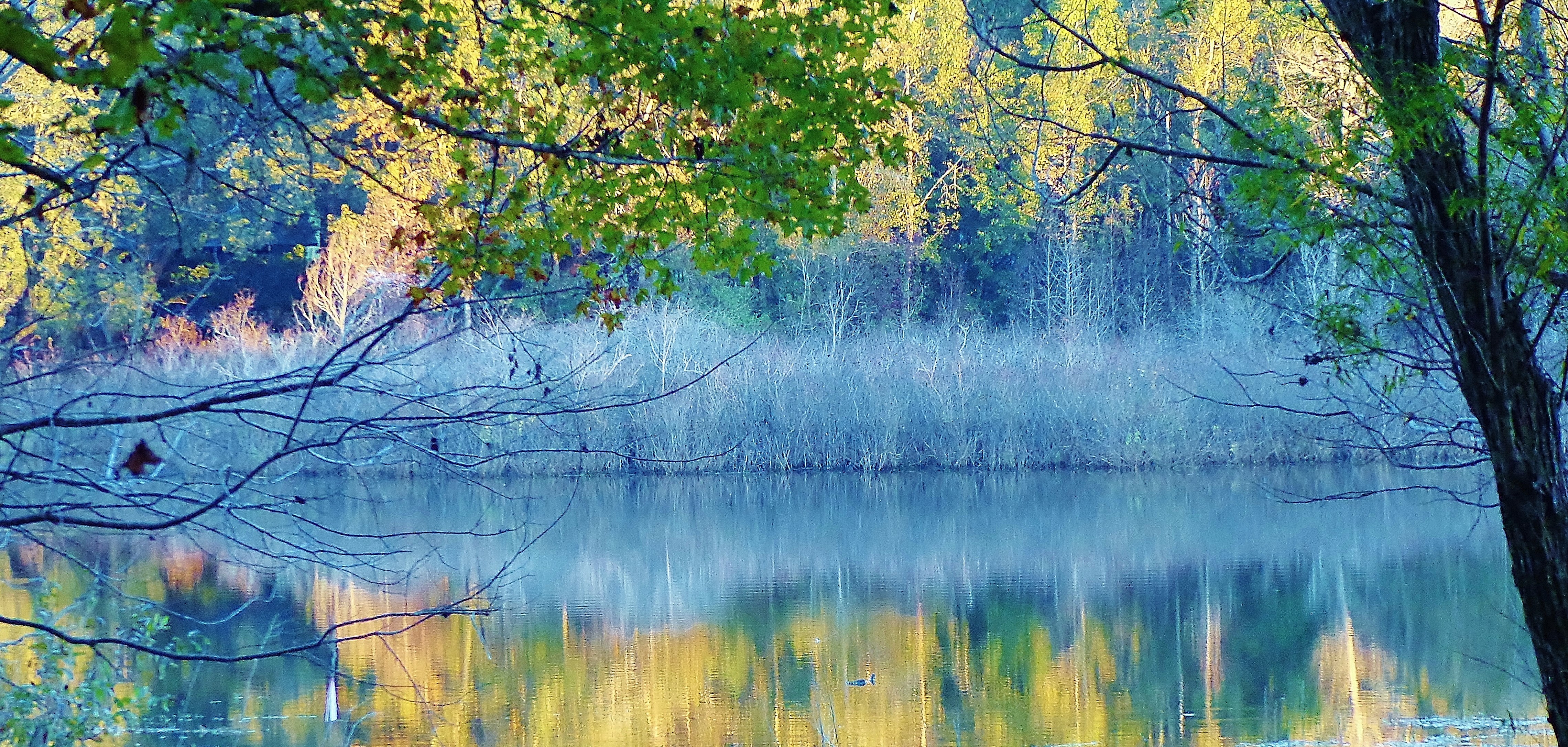
Blue Lake During Autumn
Blue Lake
Blue Lake
Southern Fall Scene

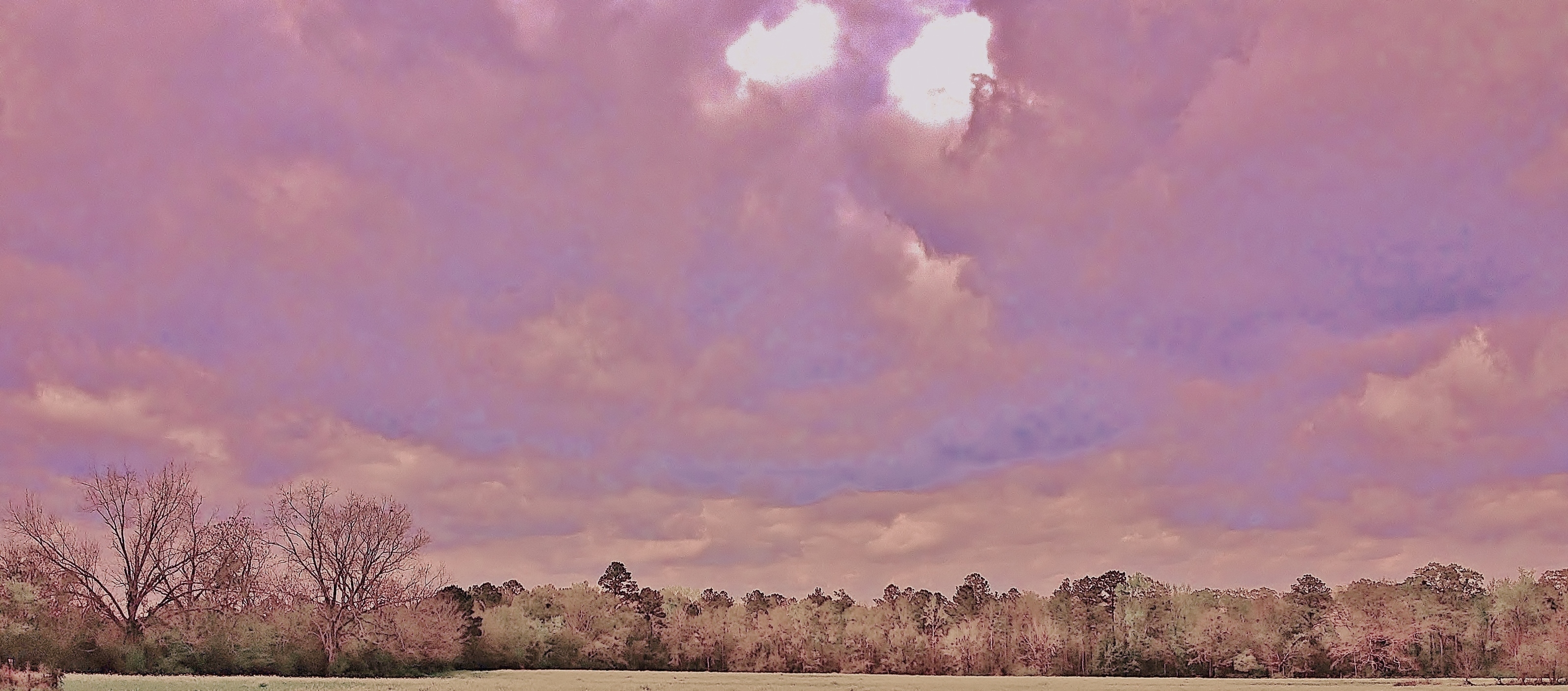
SKY-BLUE PINK
"Orange, Gold, Red, Green and a Hint of Blue"
Nature's Balance
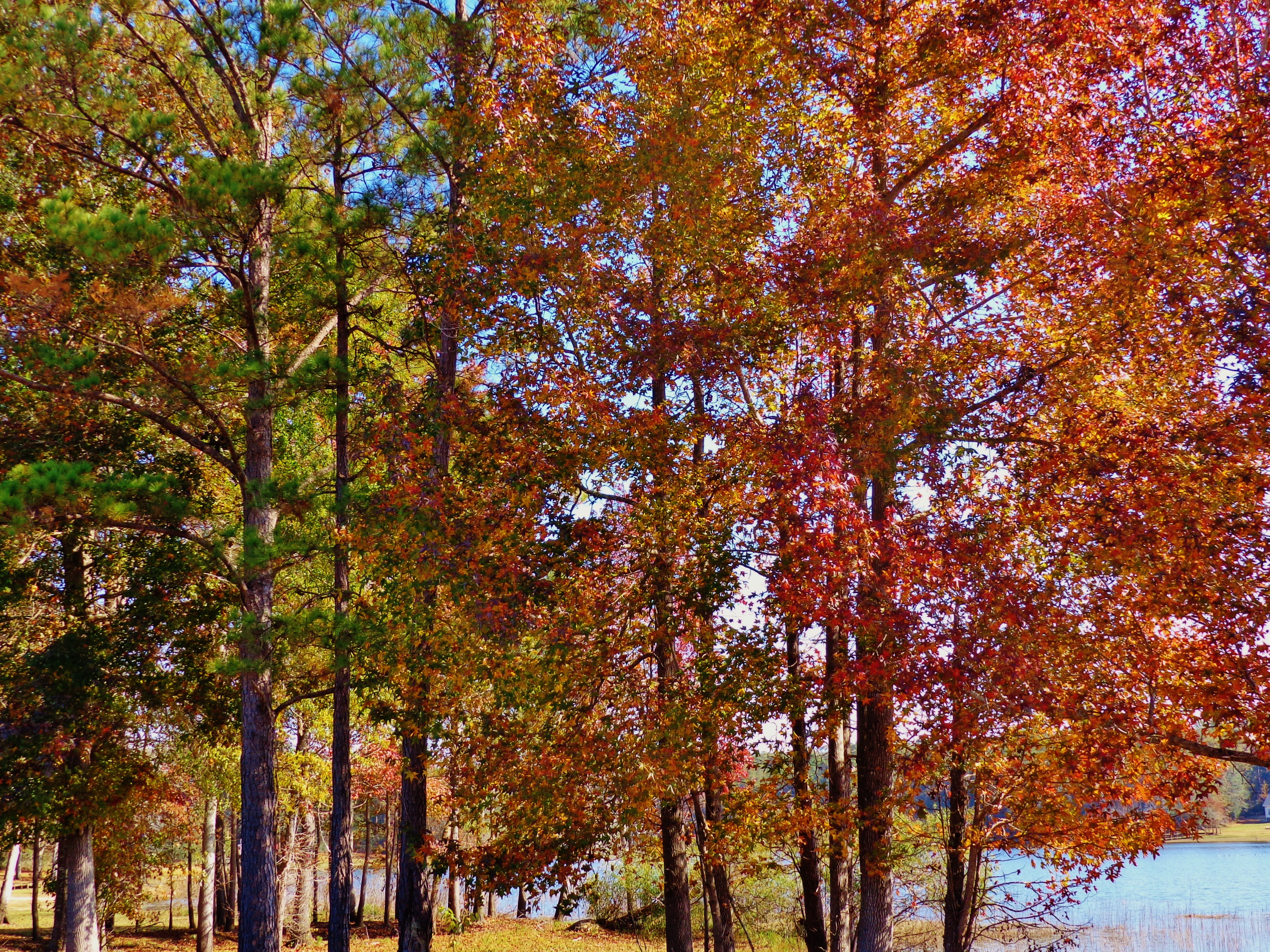
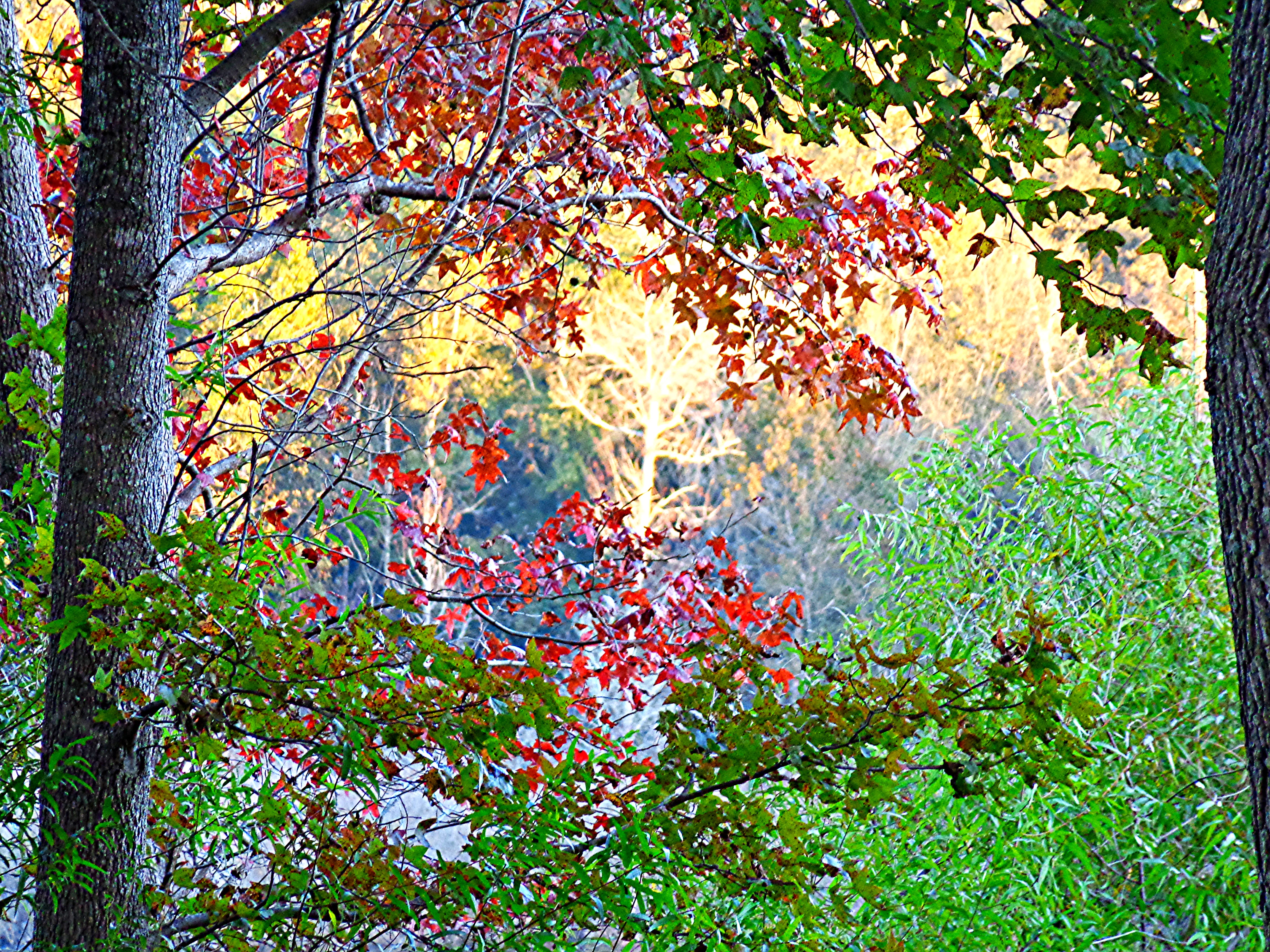
Fall In Northwest Florida
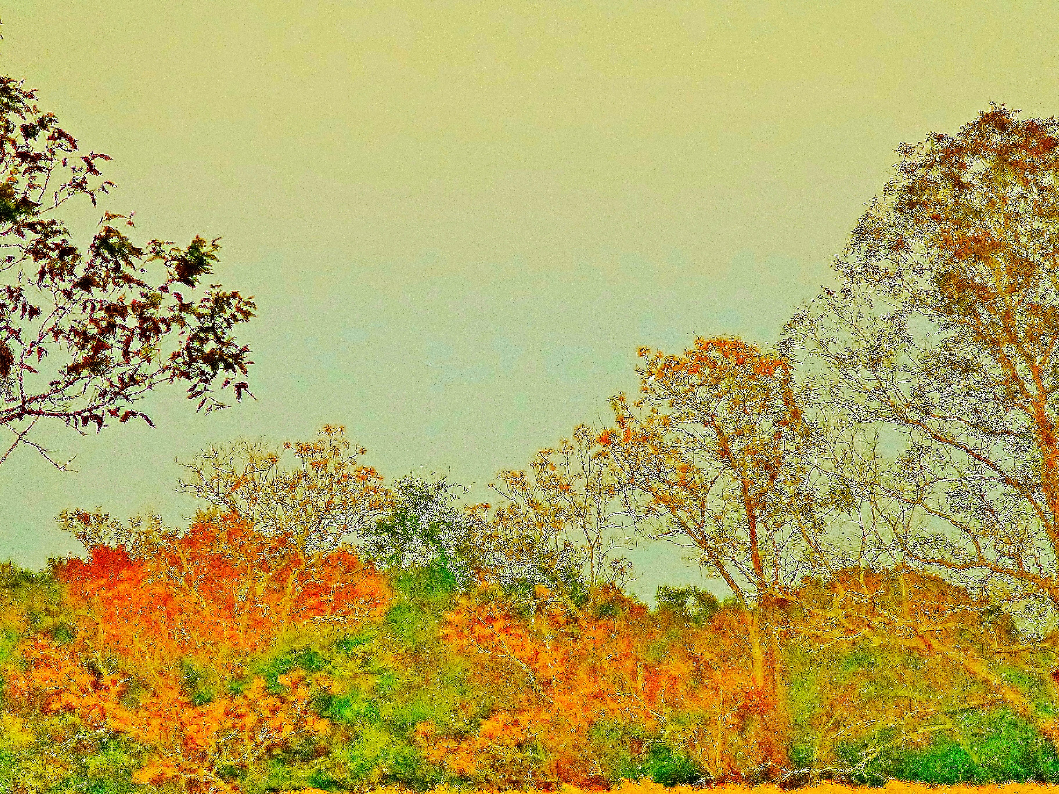
Fall Light In Florida
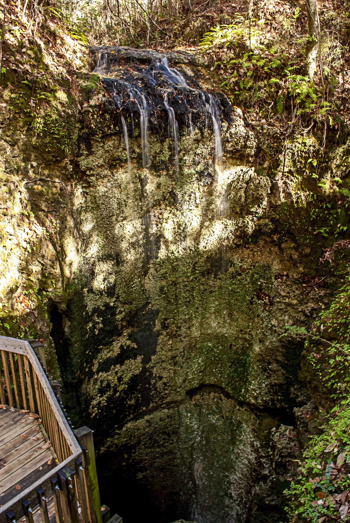
A wonderful view at Falling Waters State Park

The "Perfect Example" of "Rolled Hay"

Aim for the Sky

Old Farm Place

Another Day [Explore, January 31, 2015]

Field of Green
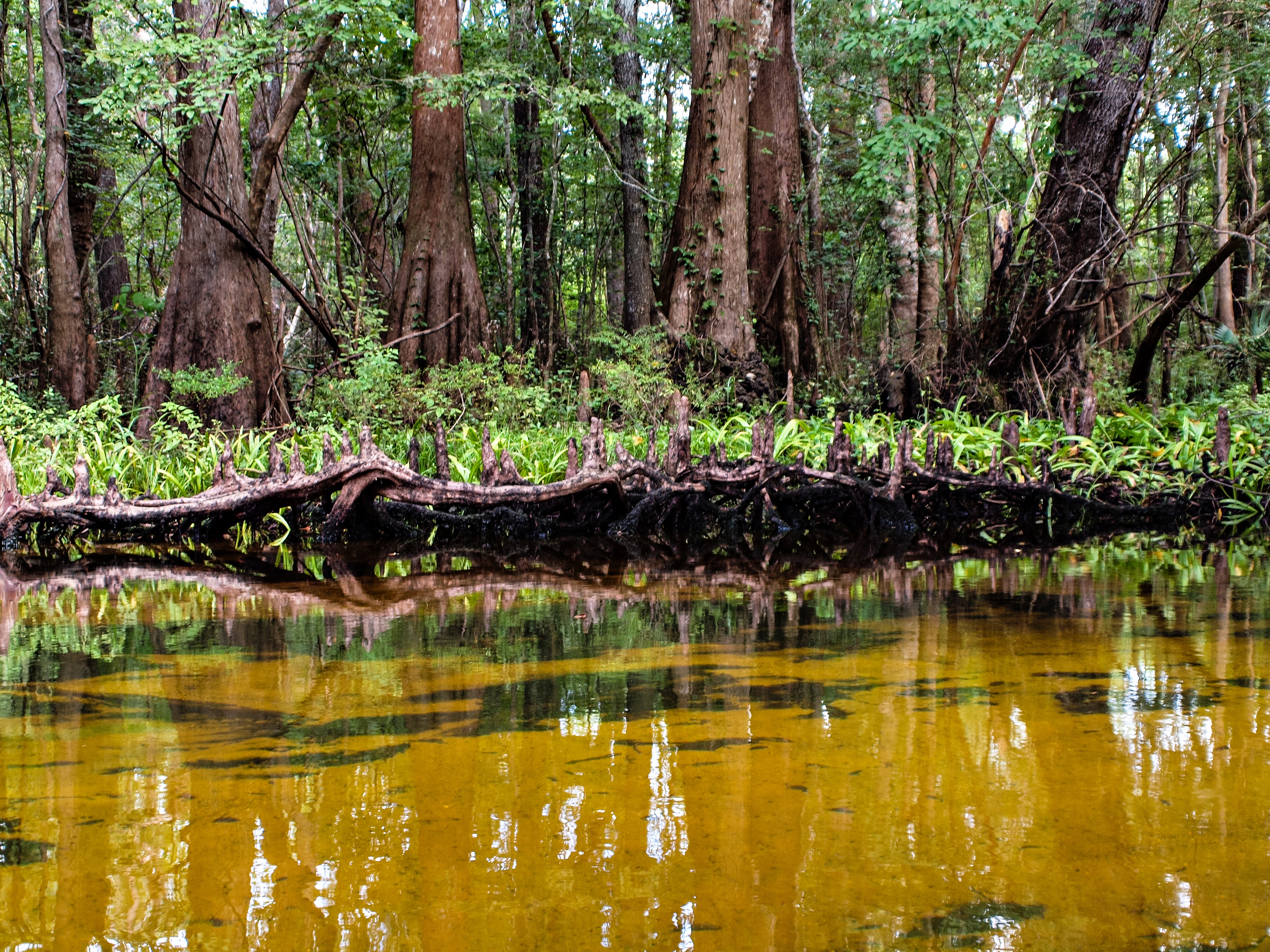
Cypress City on Holmes Creek
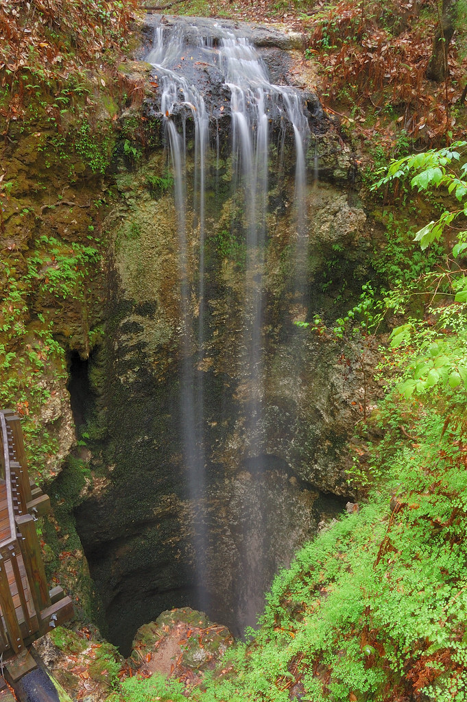
Fallings Waters

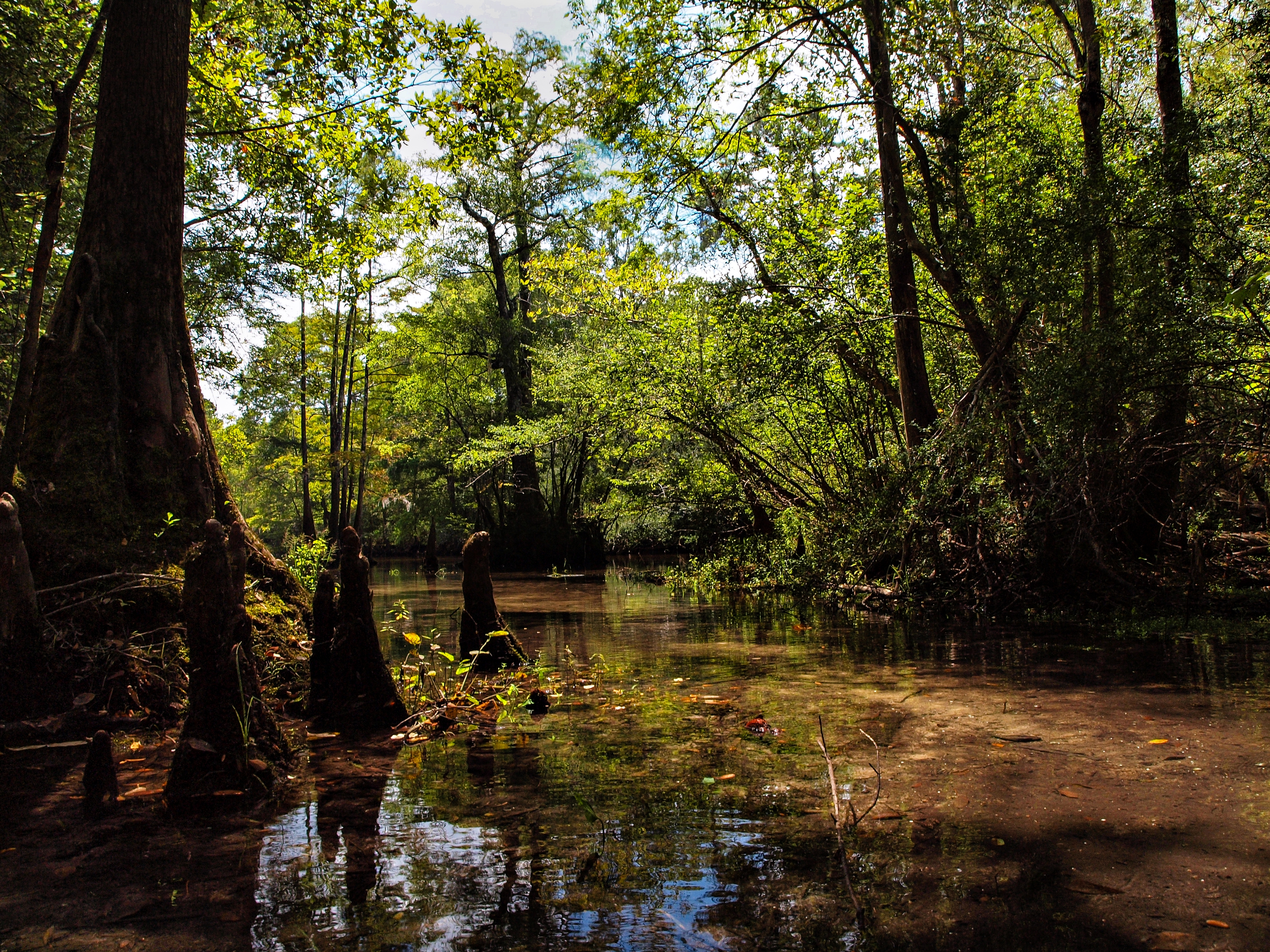
Canoeing Holmes Creek

Mouth of the Run: Cypress Springs and Holmes Creek

Forest footpath

The #woods in #florida
Fallings Waters
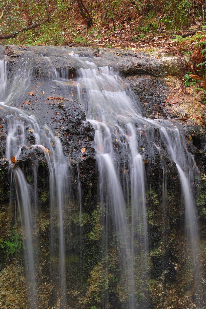
Falling waters
Holmes Creek Canoe Trip
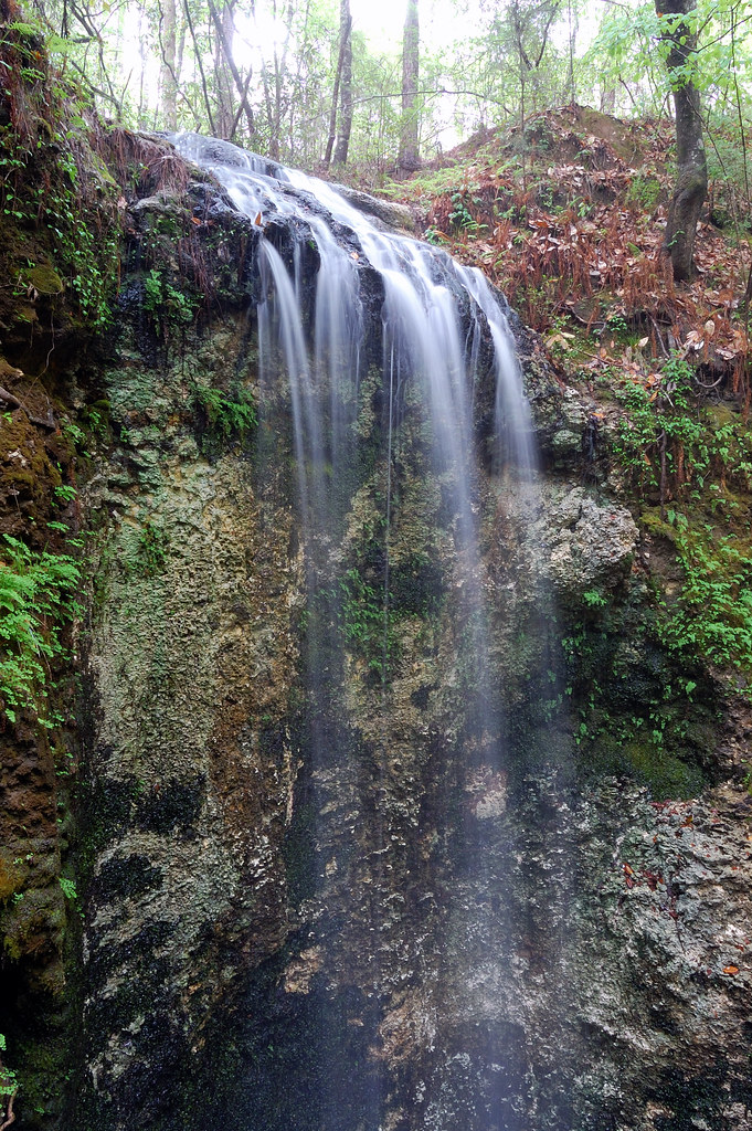
Fallings Waters

Falling Water

Falling Water
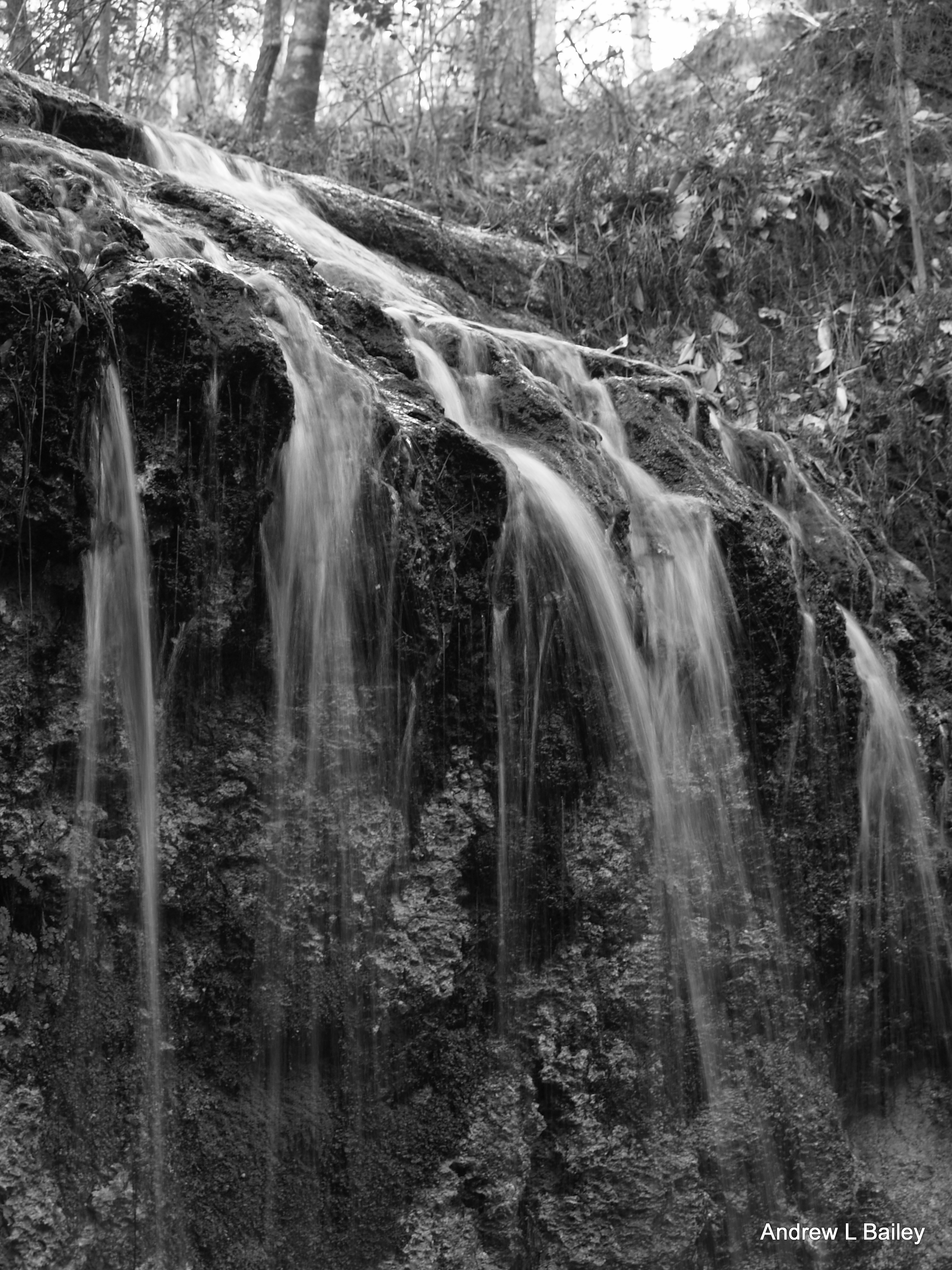
Falling Water
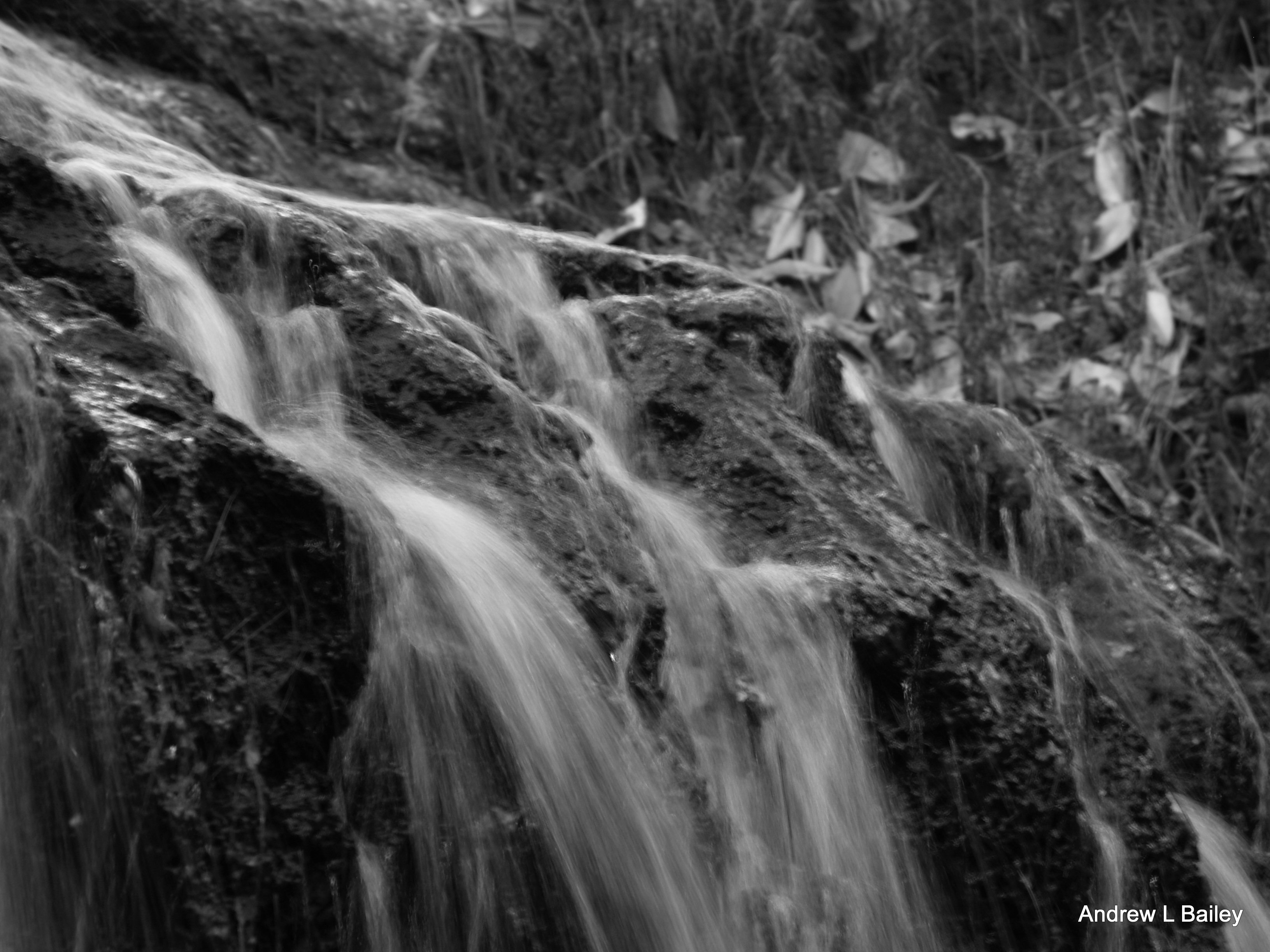
Falling Water

Falling waters
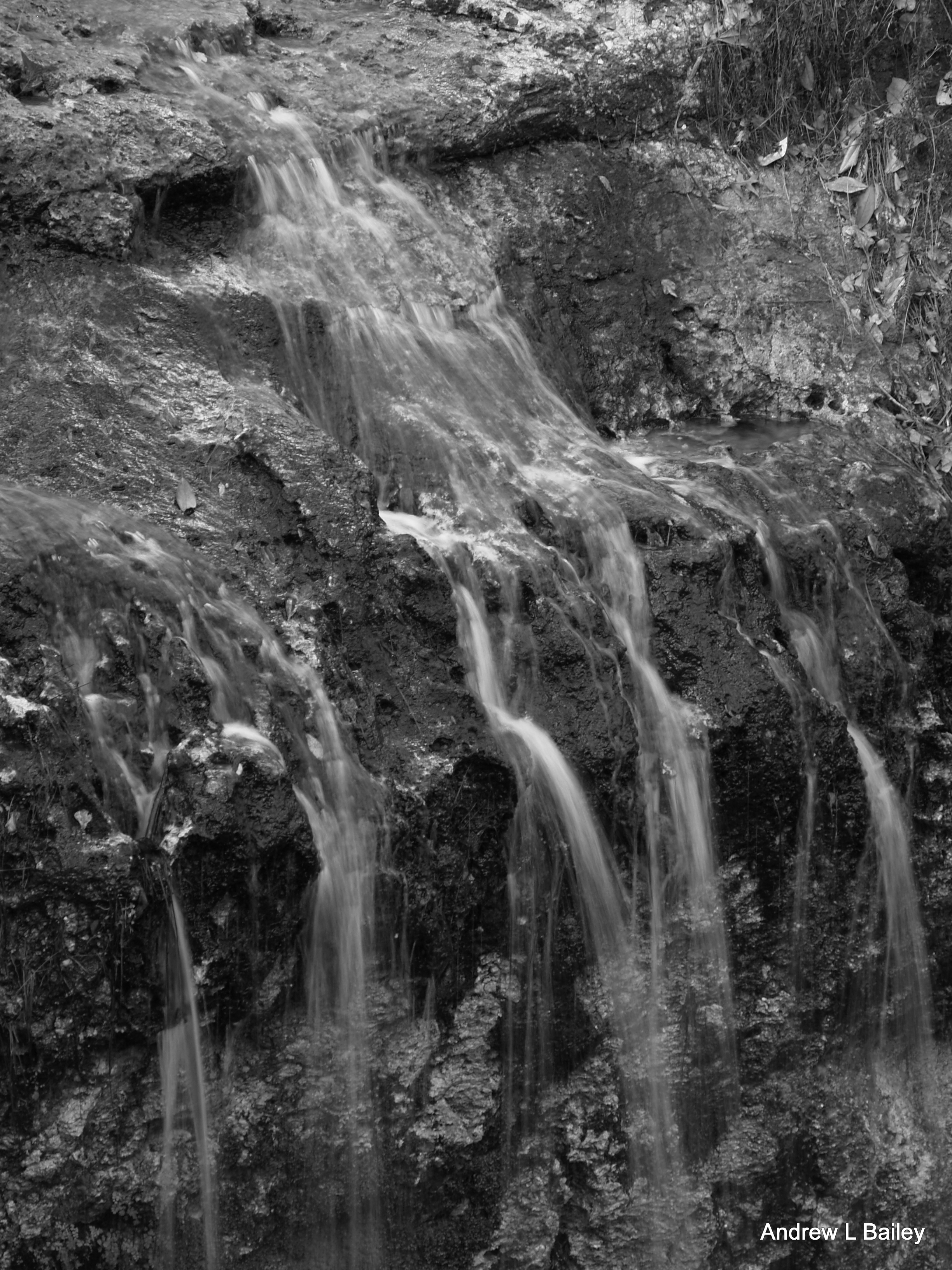
Falling Water
Topographic Map of Bonifay, FL, USA
Find elevation by address:

Places in Bonifay, FL, USA:
W Pennsylvania Ave, Bonifay, FL, USA
Co Rd A, Bonifay, FL, USA
FL-79, Bonifay, FL, USA
FL-79, Bonifay, FL, USA
Hoover Mill Rd, Bonifay, FL, USA
Curry Ferry Rd, Bonifay, FL, USA
FL-2, Bonifay, FL, USA
East Brock Avenue
Places near Bonifay, FL, USA:
Bonifay
Bonifay
W Pennsylvania Ave, Bonifay, FL, USA
East Brock Avenue
600 Fawn Ln
1237 Parrish Rd
2291 Bonifay Gritney Rd
2124 Happy Hollow Rd
2280 Boswell Rd
502 W Montana Ave
2844 Linwood Cir
2213 Us-90
1977 Jesse's Rd
2327 Short Dr
Hoover Mill Rd, Bonifay, FL, USA
2838 Beall Packing Rd
2732 Marian Dr
1988 Co Rd 177a
2683 Muir Ln
Griffin Rd, Chipley, FL, USA
Recent Searches:
- Elevation of Corso Fratelli Cairoli, 35, Macerata MC, Italy
- Elevation of Tallevast Rd, Sarasota, FL, USA
- Elevation of 4th St E, Sonoma, CA, USA
- Elevation of Black Hollow Rd, Pennsdale, PA, USA
- Elevation of Oakland Ave, Williamsport, PA, USA
- Elevation of Pedrógão Grande, Portugal
- Elevation of Klee Dr, Martinsburg, WV, USA
- Elevation of Via Roma, Pieranica CR, Italy
- Elevation of Tavkvetili Mountain, Georgia
- Elevation of Hartfords Bluff Cir, Mt Pleasant, SC, USA