Elevation of Bone Rd, Iona, ID, USA
Location: United States > Idaho > Bonneville County > Iona >
Longitude: -111.81324
Latitude: 43.3868066
Elevation: 1766m / 5794feet
Barometric Pressure: 82KPa
Elevation Map:
Satellite Map:
Related Photos:

A New Dawn
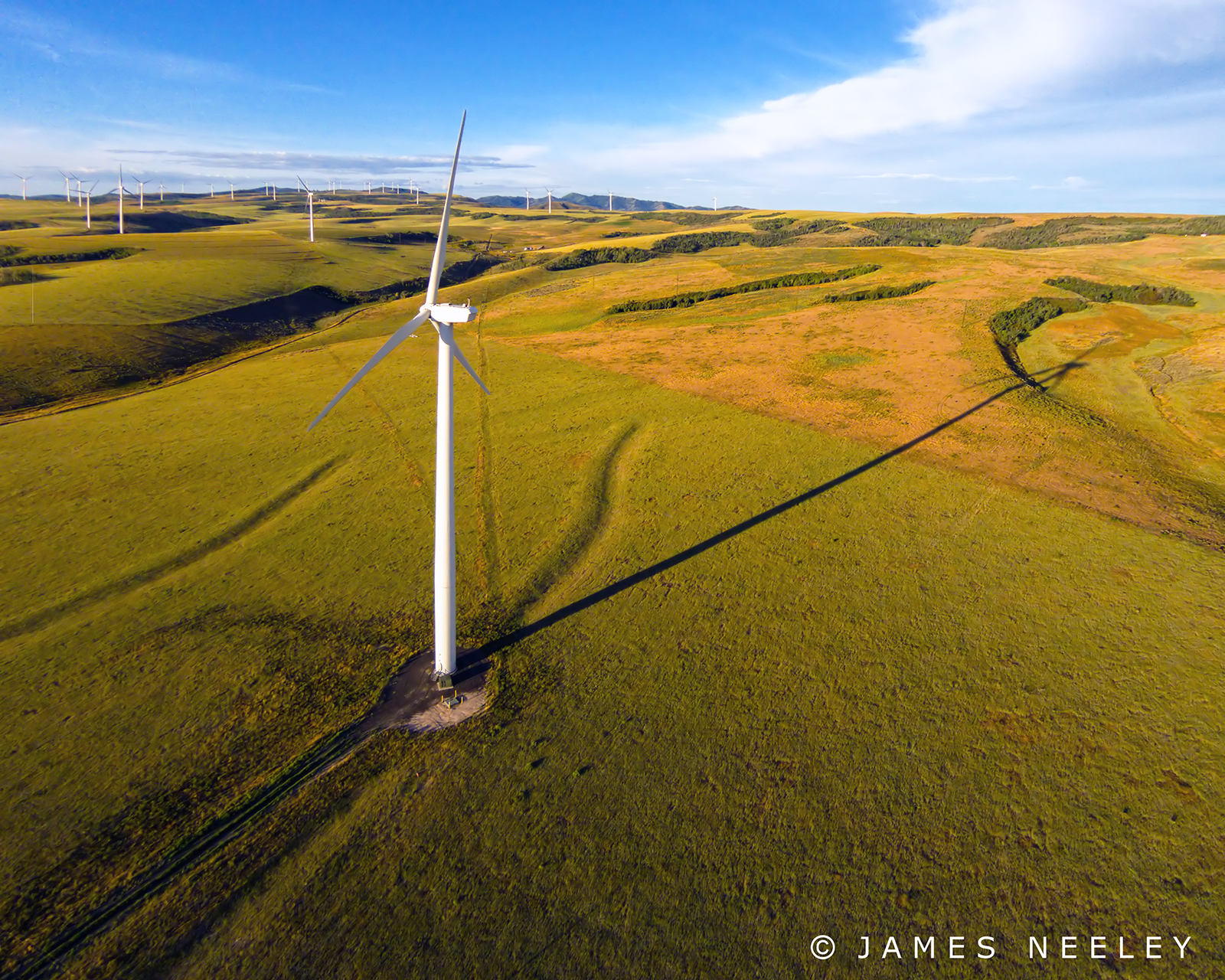
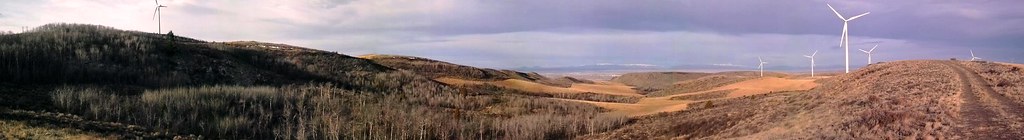
Blowin' in the Wind
Day 108 of 365-Pt.2: From one day to the next, you never really know where you're going to end up

Idaho Falls
Kepp's Crossing
east of Idaho Falls
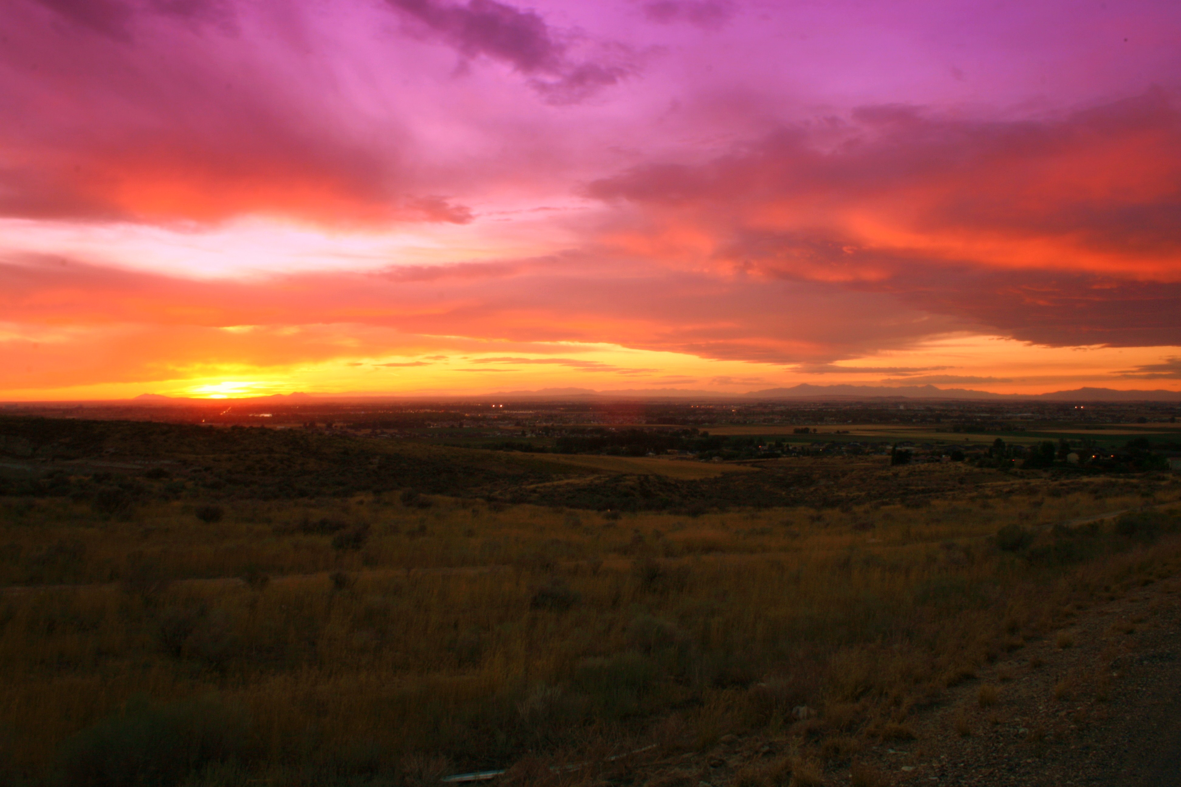
Sunset from the bench
razr photo

Sunset from the bench

Idaho Sunset

Looking up the spot
Topographic Map of Bone Rd, Iona, ID, USA
Find elevation by address:

Places near Bone Rd, Iona, ID, USA:
Bone Rd, Iona, ID, USA
7130 E Valco Dr
5243 Tildy Ln
5237 Treyden Dr
Ammon
2740 Central Ave
3456 E 17th St
Iona
Yellowpine Drive
1559 N Stevens Dr
1800 E 49th S #7654
Sandy Downs Arena
N Ammon Rd, Idaho Falls, ID, USA
1367 Homer Ave
E Ririe Hwy, Idaho Falls, ID, USA
695 Ruth Ave
1120 Cathryn Ave
1505 Ponderosa Dr
1198 N 1325 E
W S, Idaho Falls, ID, USA
Recent Searches:
- Elevation of Woodland Oak Pl, Thousand Oaks, CA, USA
- Elevation of Brownsdale Rd, Renfrew, PA, USA
- Elevation of Corcoran Ln, Suffolk, VA, USA
- Elevation of Mamala II, Sariaya, Quezon, Philippines
- Elevation of Sarangdanda, Nepal
- Elevation of 7 Waterfall Way, Tomball, TX, USA
- Elevation of SW 57th Ave, Portland, OR, USA
- Elevation of Crocker Dr, Vacaville, CA, USA
- Elevation of Pu Ngaol Community Meeting Hall, HWHM+3X7, Krong Saen Monourom, Cambodia
- Elevation of Royal Ontario Museum, Queens Park, Toronto, ON M5S 2C6, Canada