Elevation map of Bonaventure Regional County Municipality, QC, Canada
Location: Canada > Québec >
Longitude: -65.578564
Latitude: 48.2793706
Elevation: 101m / 331feet
Barometric Pressure: 100KPa
Elevation Map:
Satellite Map:
Related Photos:
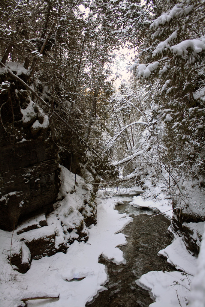
Ruisseau creux
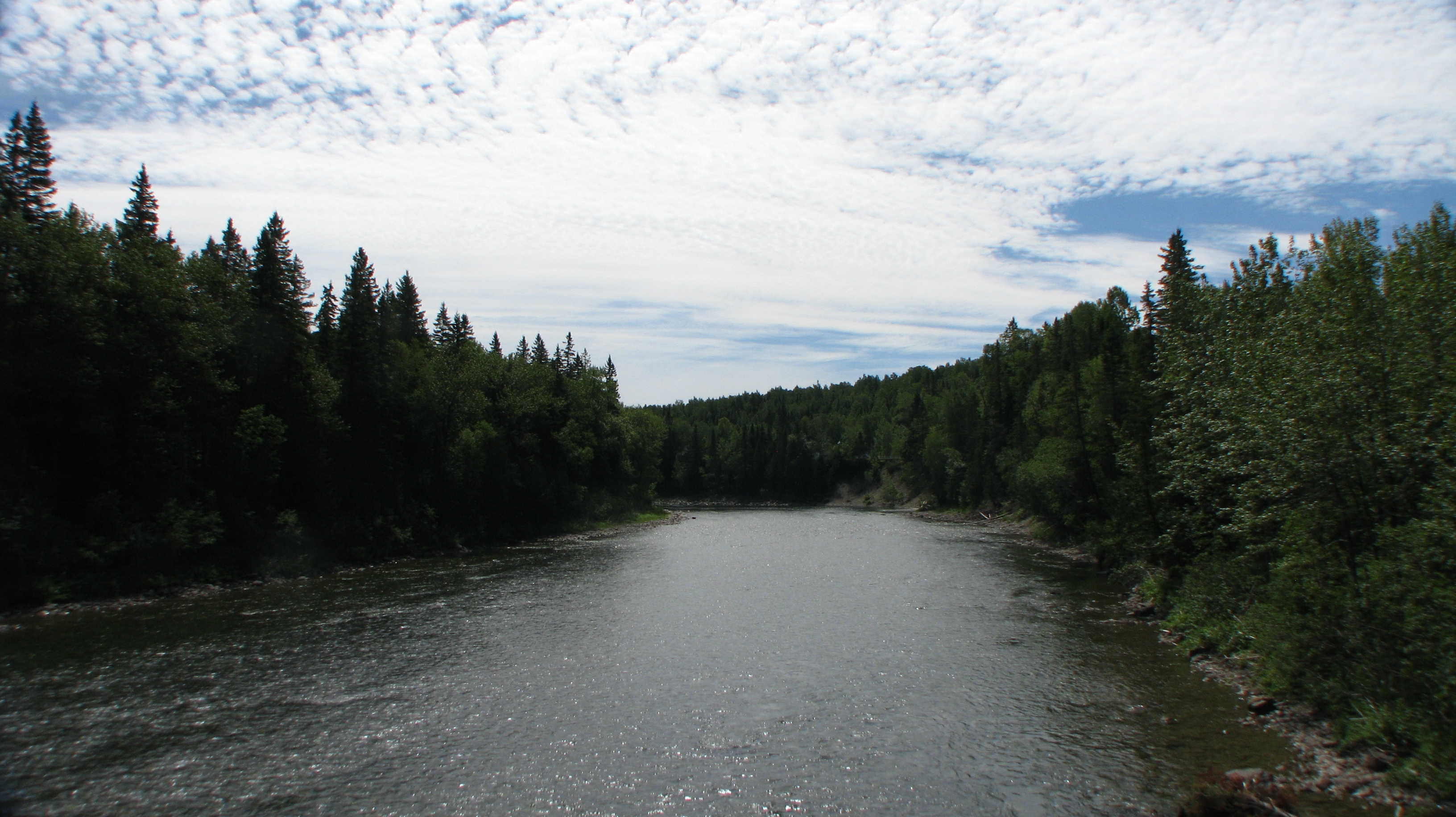
Saint-Alphonse-de-Caplan, Québec

ruisseau creux
Saint-Alphonse-de-Caplan, Québec
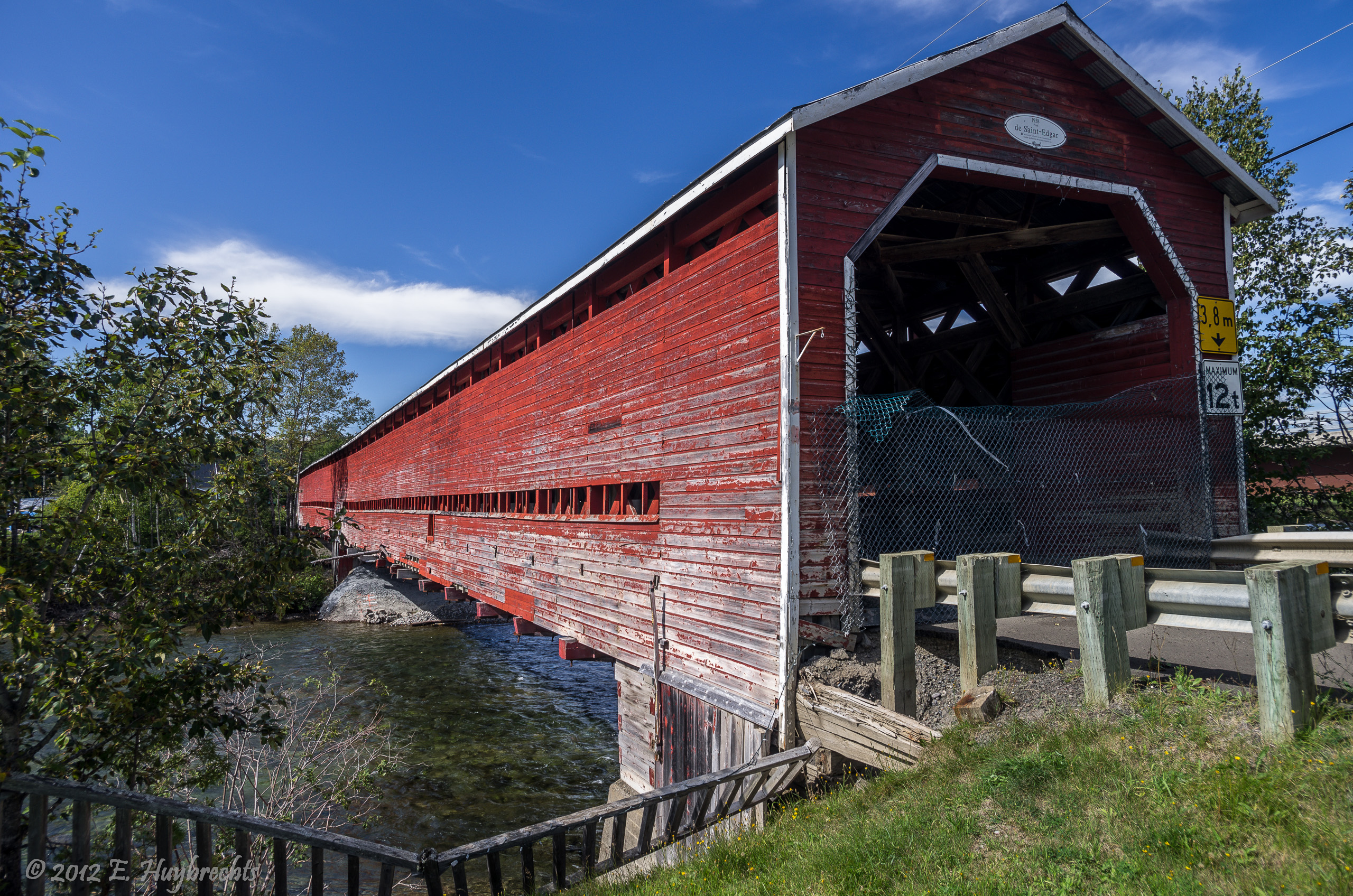
Pont Saint-Edgar (1938)

Saint-Alphonse-de-Caplan, Québec

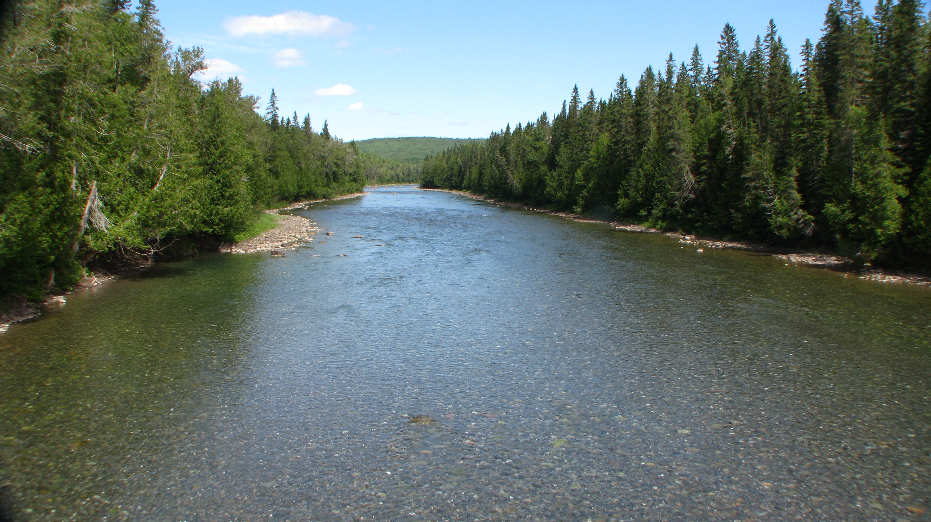
Saint-Alphonse-de-Caplan, Québec
Topographic Map of Bonaventure Regional County Municipality, QC, Canada
Find elevation by address:

Places in Bonaventure Regional County Municipality, QC, Canada:
Bonaventure
Paspébiac
New Carlisle
Hope
Shigawake
Saint-godefroi
3e Rang O, New Richmond, QC G0C 2B0, Canada
Saint-elzéar
New Richmond
Places near Bonaventure Regional County Municipality, QC, Canada:
Saint-elzéar
Avenue du Viaduc, Saint-Siméon-de-Bonaventure, QC G0C 3A0, Canada
Route Forest, Bonaventure, QC G0C 1E0, Canada
Bonaventure
Route Henry, Bonaventure, QC G0C 1E0, Canada
Route De L'Église
3e Rang O, New Richmond, QC G0C 2B0, Canada
New Richmond
New Carlisle
Route Cox, Bonaventure, QC G0C 1E0, Canada
Hope
New Carlisle
22 Rue de Vimy, New Carlisle, QC G0C 1Z0, Canada
Saint-godefroi
Rue St Pie X, Rivière-Paspébiac, QC G0C 2S0, Canada
123a
Paspébiac
1 Er rang de Bugeaud, Paspébiac, QC G0C 2K0, Canada
Maria
Paspébiac-est
Recent Searches:
- Elevation of Corso Fratelli Cairoli, 35, Macerata MC, Italy
- Elevation of Tallevast Rd, Sarasota, FL, USA
- Elevation of 4th St E, Sonoma, CA, USA
- Elevation of Black Hollow Rd, Pennsdale, PA, USA
- Elevation of Oakland Ave, Williamsport, PA, USA
- Elevation of Pedrógão Grande, Portugal
- Elevation of Klee Dr, Martinsburg, WV, USA
- Elevation of Via Roma, Pieranica CR, Italy
- Elevation of Tavkvetili Mountain, Georgia
- Elevation of Hartfords Bluff Cir, Mt Pleasant, SC, USA