Elevation of Bom Jesus - RS, Brazil
Location: Brazil > State Of Rio Grande Do Sul >
Longitude: -50.435112
Latitude: -28.672287
Elevation: 1048m / 3438feet
Barometric Pressure: 89KPa
Elevation Map:
Satellite Map:
Related Photos:

Veu da Noiva - Itaimbézinho

The best way for a pre-weekend schedule! Good morning! ????

Veu da Noiva - Itaimbézinho
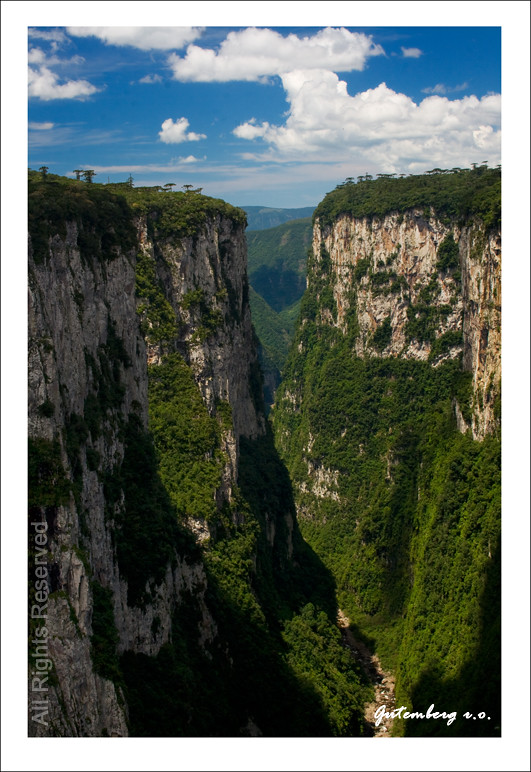
Itaimbezinho / Cânion / Rio Grande do Sul e Santa Catarina / Brasil / Brazil
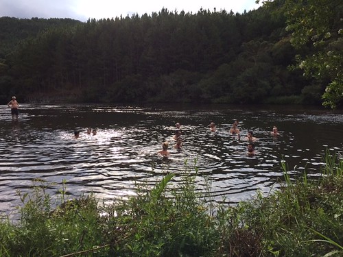
Andreia Fadanelli 01

Já a postos !! Com @willianerenan
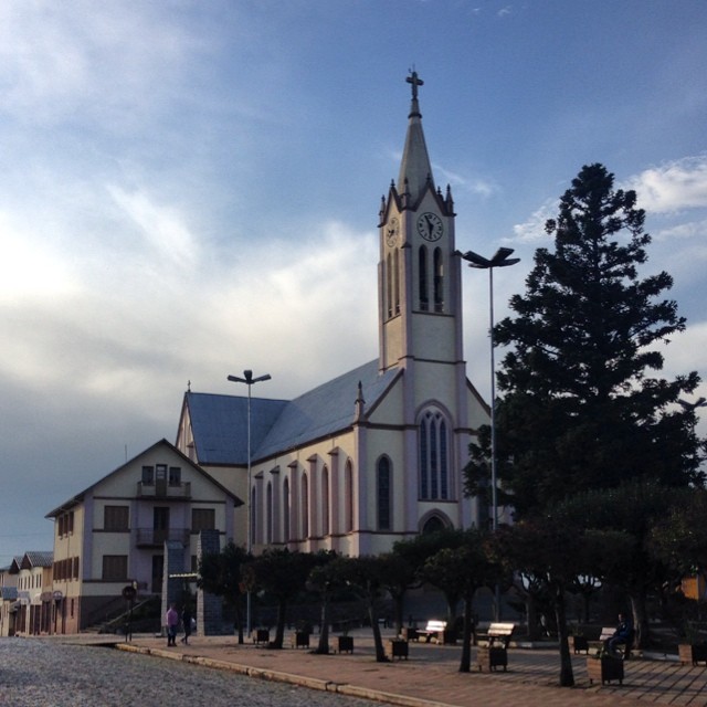
Bom dia #riogrande
.

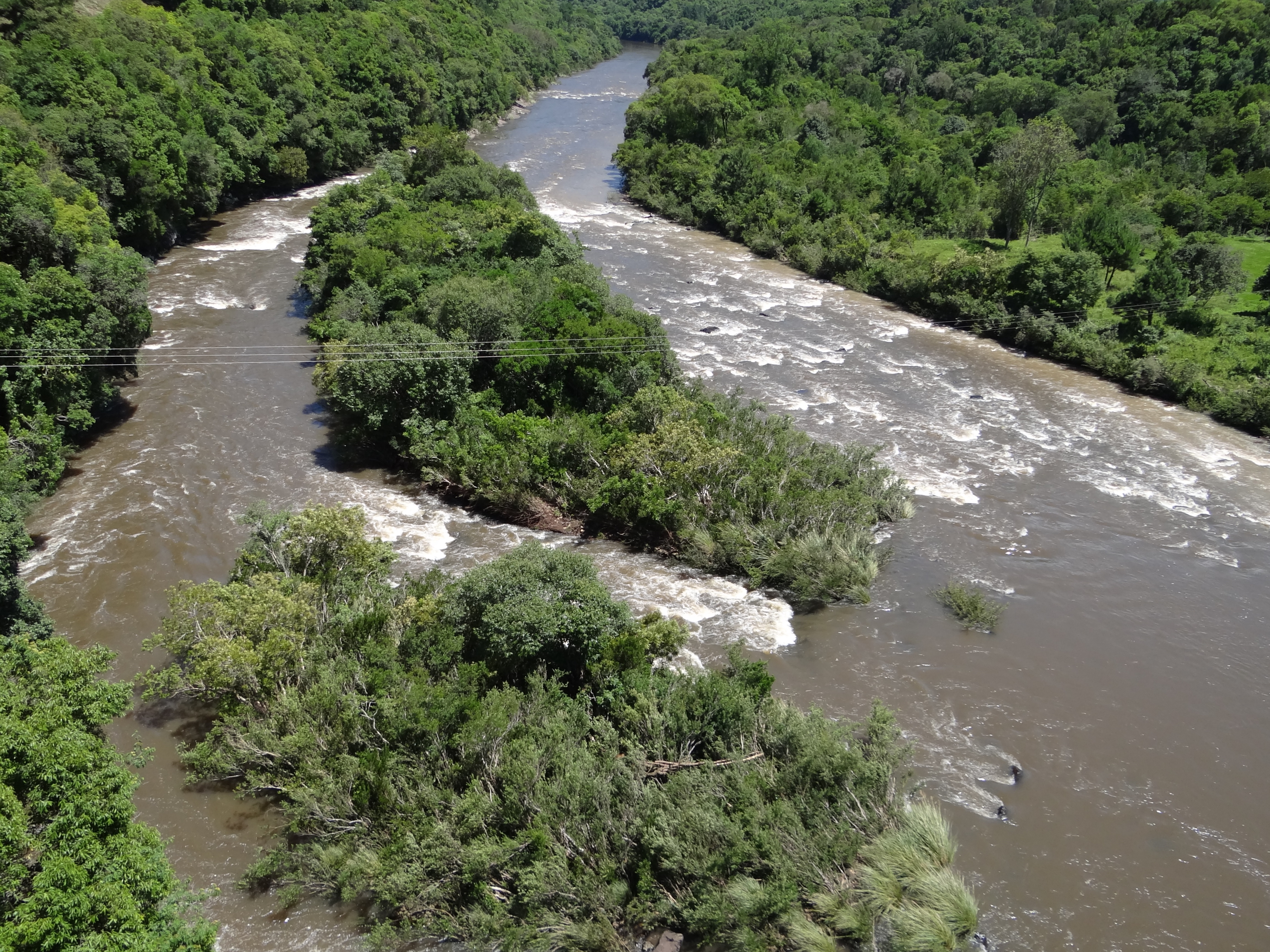
Dois gaúchos .
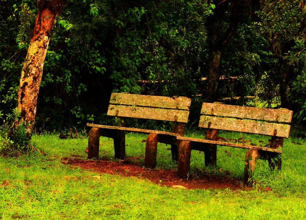
Os 2 bancos (sem tempo para sentar e apreciar...) / The two banks (with no time to sit back and enjoy ...)
Topographic Map of Bom Jesus - RS, Brazil
Find elevation by address:

Places in Bom Jesus - RS, Brazil:
Places near Bom Jesus - RS, Brazil:
BR-, 11, Bom Jesus - RS, -, Brazil
2-170
Cambará Do Sul
RS-, Cambará do Sul - RS, -, Brazil
São Joaquim
São Joaquim
Três Cachoeiras
Av. Padre Rizzieri Delai, - Bela Vista, Três Cachoeiras - RS, -, Brazil
Bela Vista
R. Bom Jardim da Serra, 98 - Tereza Cristina, Criciúma - SC, -, Brazil
Recent Searches:
- Elevation of Elwyn Dr, Roanoke Rapids, NC, USA
- Elevation of Congressional Dr, Stevensville, MD, USA
- Elevation of Bellview Rd, McLean, VA, USA
- Elevation of Stage Island Rd, Chatham, MA, USA
- Elevation of Shibuya Scramble Crossing, 21 Udagawacho, Shibuya City, Tokyo -, Japan
- Elevation of Jadagoniai, Kaunas District Municipality, Lithuania
- Elevation of Pagonija rock, Kranto 7-oji g. 8"N, Kaunas, Lithuania
- Elevation of Co Rd 87, Jamestown, CO, USA
- Elevation of Tenjo, Cundinamarca, Colombia
- Elevation of Côte-des-Neiges, Montreal, QC H4A 3J6, Canada