Elevation of Bollinger Canyon Rd, Moraga, CA, USA
Location: United States > California > Contra Costa County > Moraga >
Longitude: -122.07222
Latitude: 37.8305116
Elevation: 324m / 1063feet
Barometric Pressure: 97KPa
Elevation Map:
Satellite Map:
Related Photos:

Day Two Hundred Fifty Seven
delegation 24
Fog Bath
The Pond
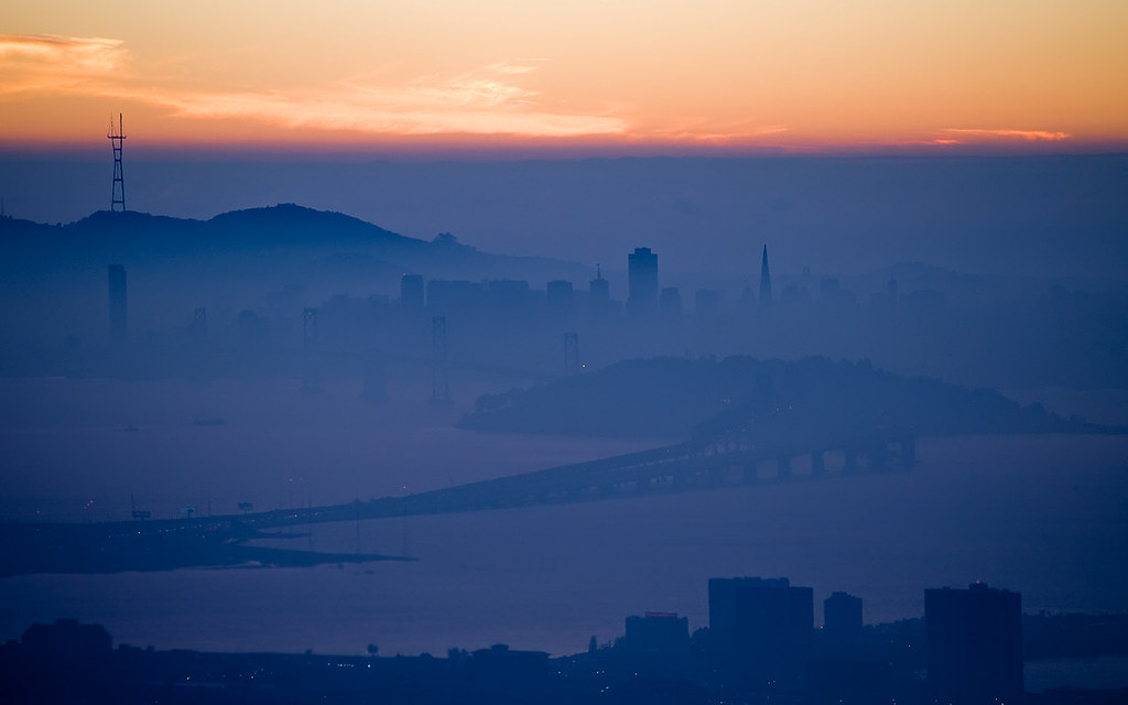
The Cities By the Bay
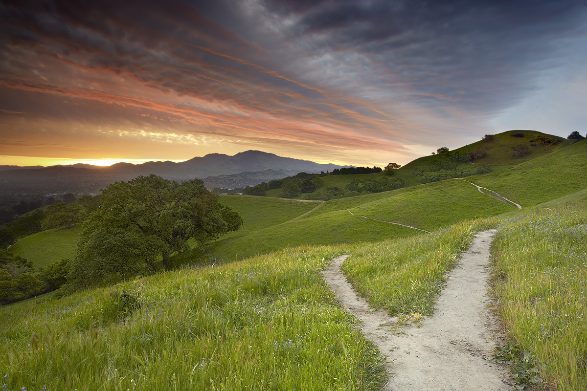
Fork In The Road - Walnut Creek, California

Bay Area Blaze
Dinosaur Hill Park II
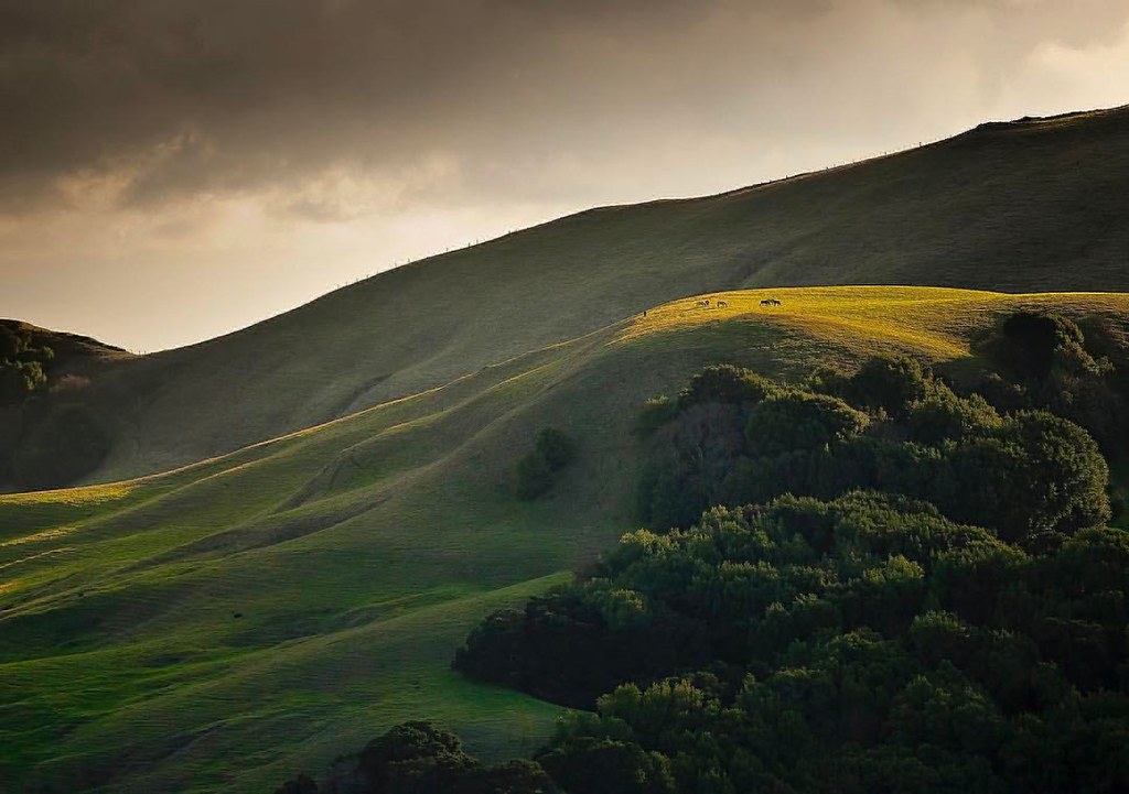
Horses taking in the views above Danville. © Sean Arbabi | seanarbabi.com (all rights reserved worldwide) #danvilleca #lastrampasregionalwilderness #eastbayregionalparks #sanfranciscobayarea #nikon #naturephotography #horses #horsesofinstagram

Barn Swallow

The Bay Connection: Berkeley Hills, CA

A frosty morning

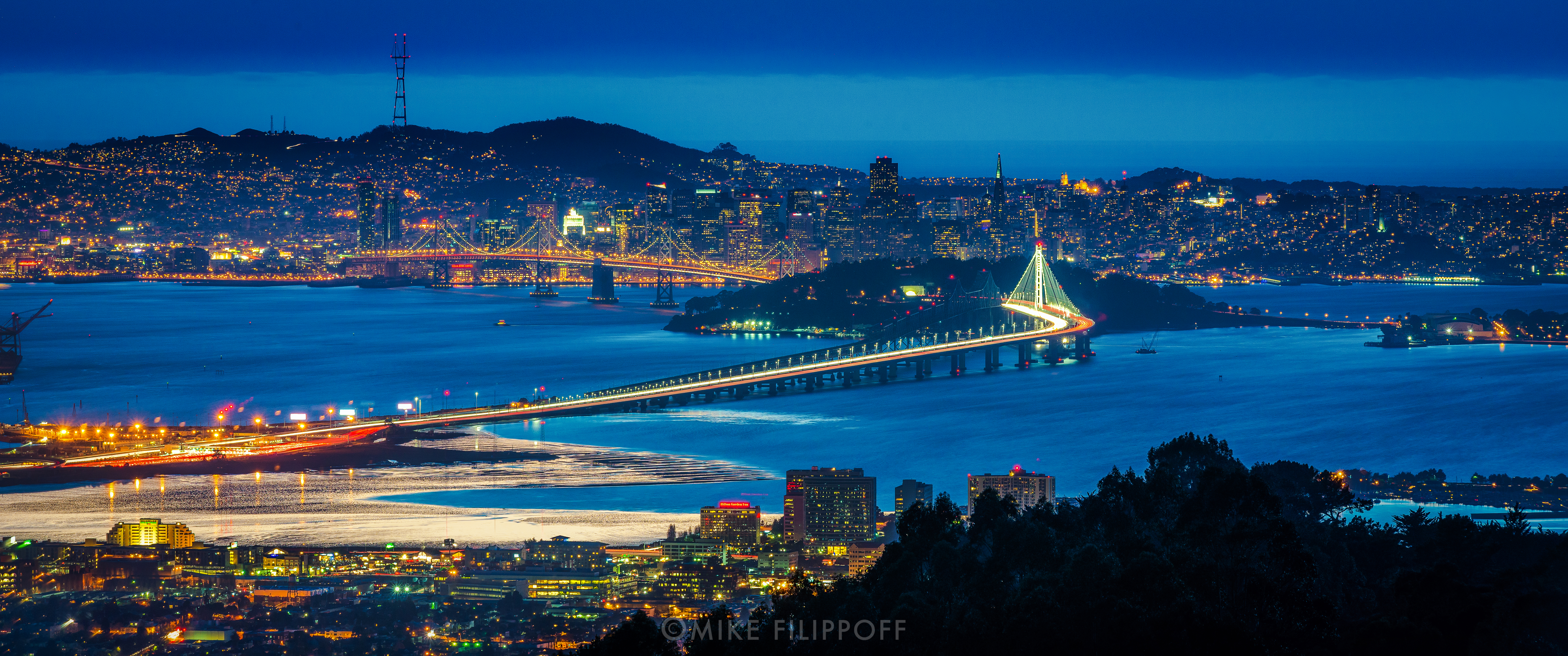
San Francisco Bay
The City in the Mists

Life Before Death
After the Rains
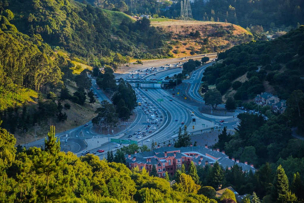
rush hour backup for bores 1 and 2
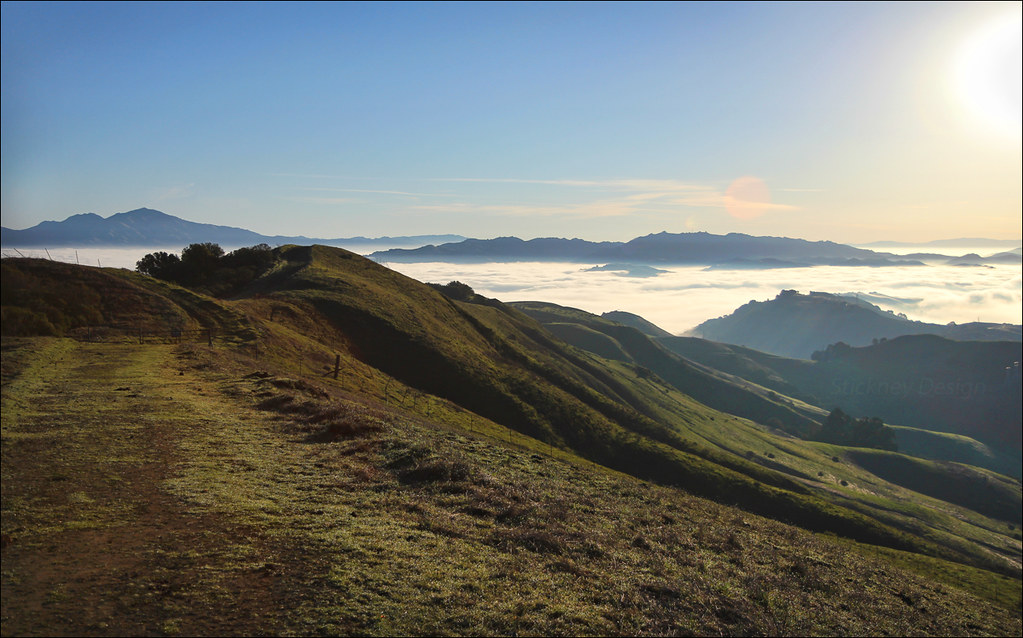
Mt. Diablo & Las Trampas Vista

In a Long Line
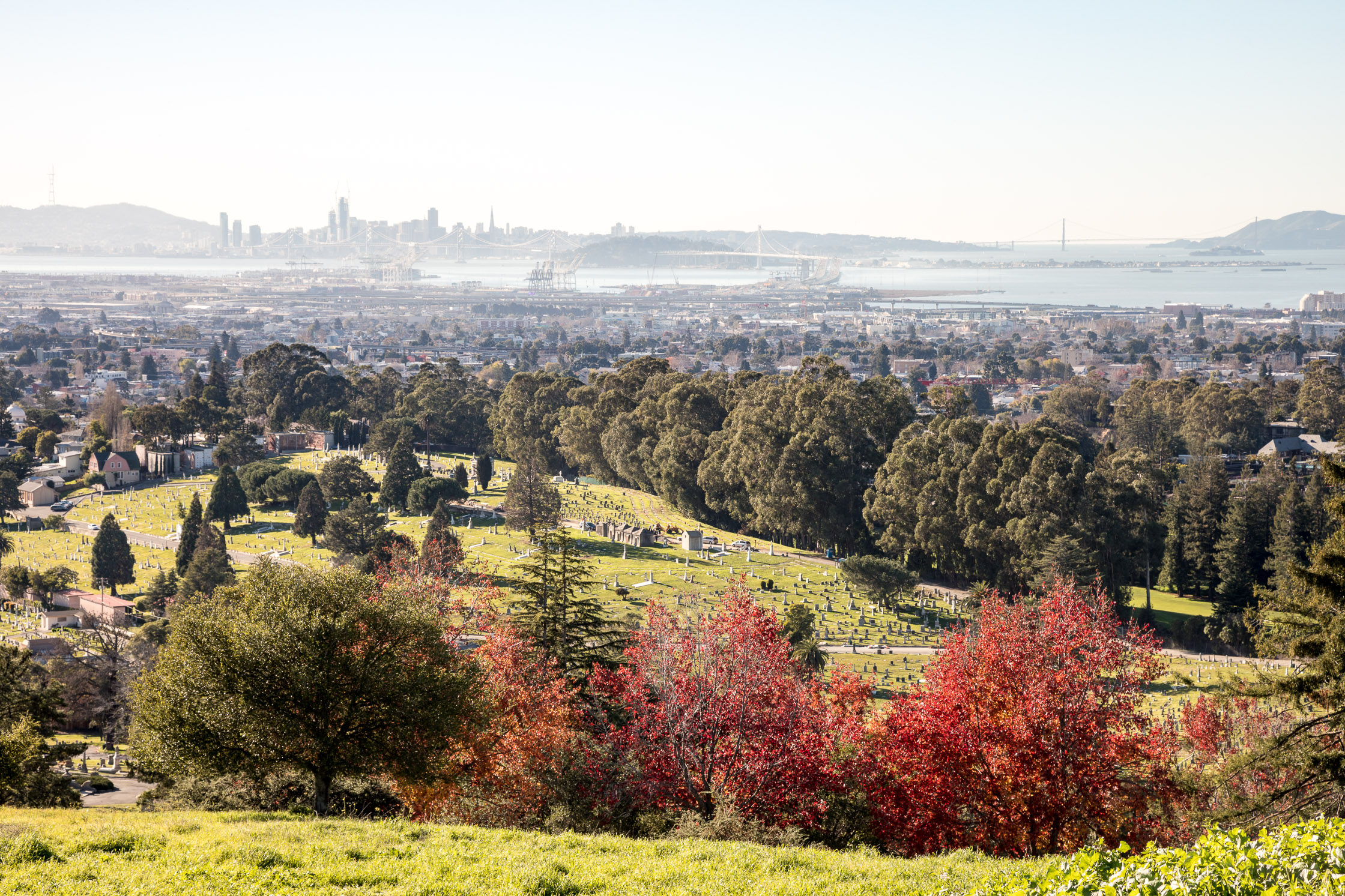
Mountain View Cemetary
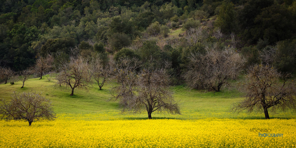
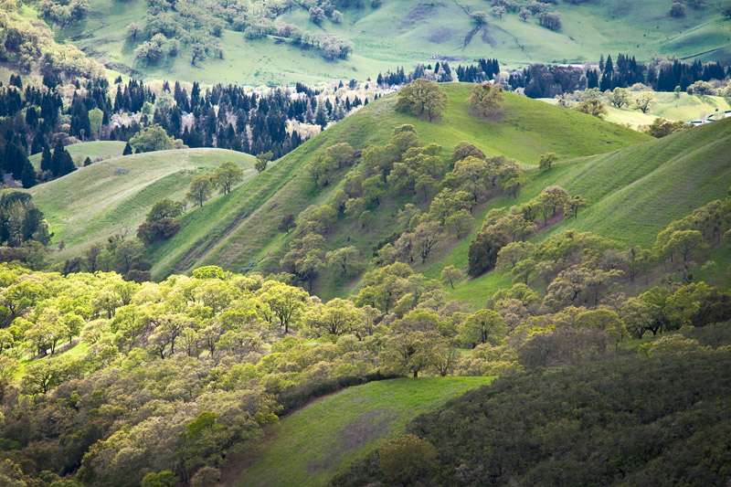
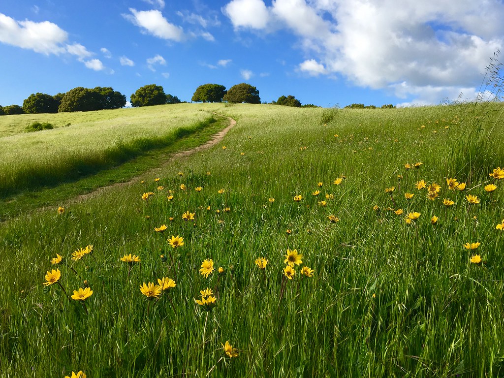
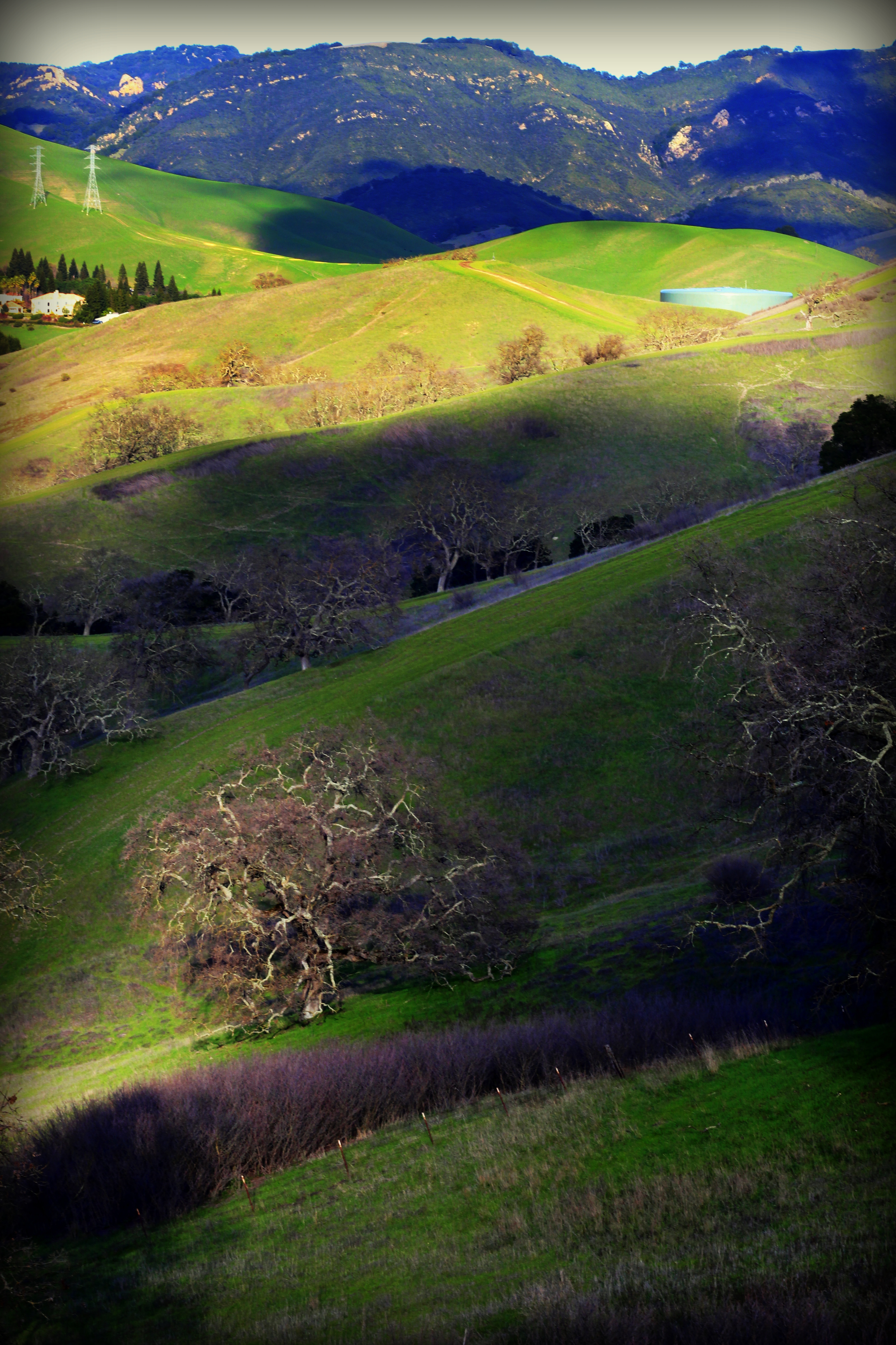
Spring View

Caught Up In The Rapture
endless e6
sf sunset_01
Lake Chabot
Lake Chabot
Lake Chabot
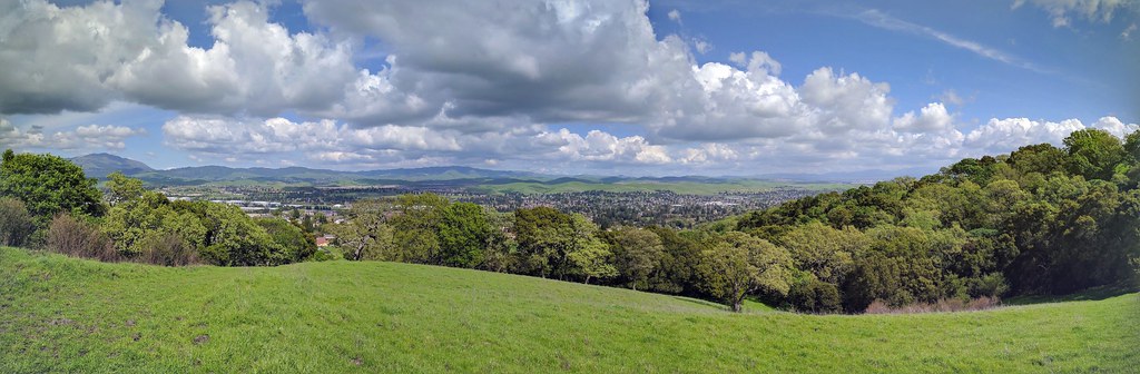
IMG_20170325_150349-PANO

Mt. Diablo
SF Bay
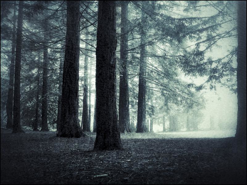
Forest Dream
Goodbye Stormy Skies
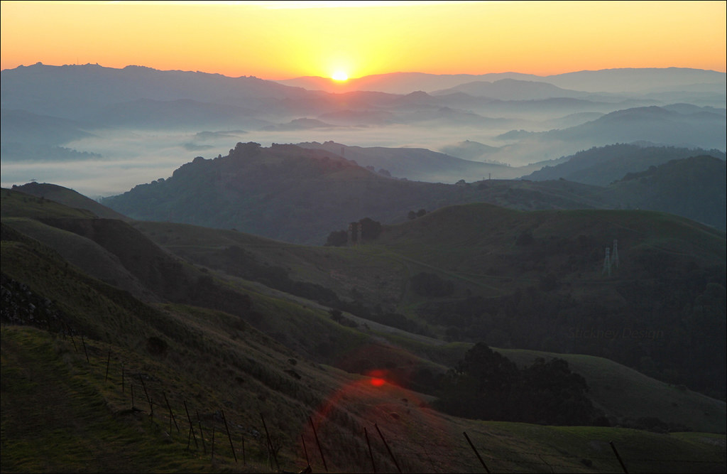
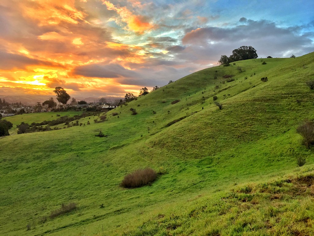
Another Sibley Sunrise
Something about these hills...remind me of Shrek.
He was quietly brunching when I turned up right behind, glad he was so focus!
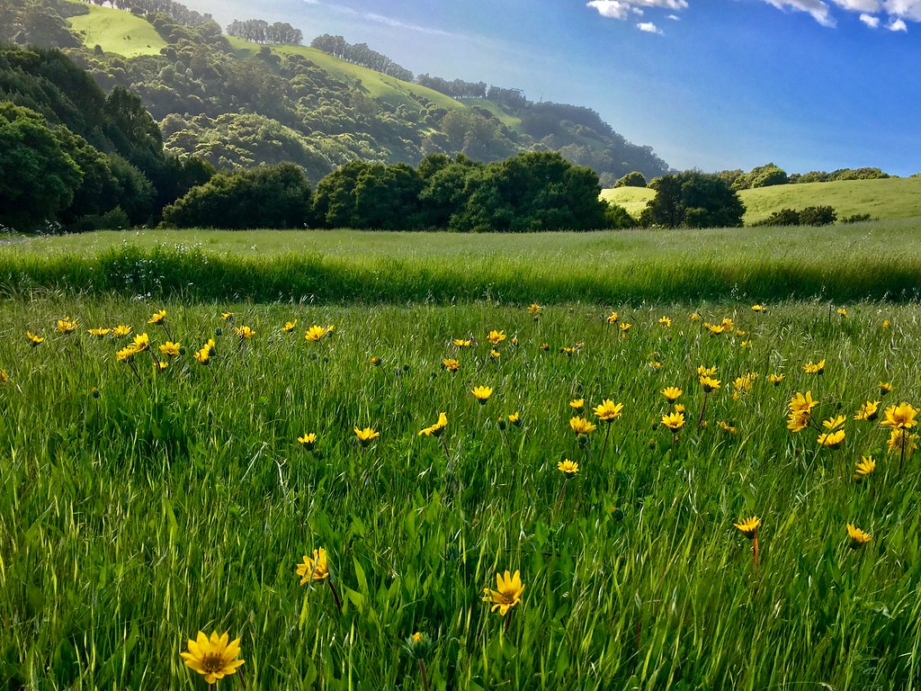
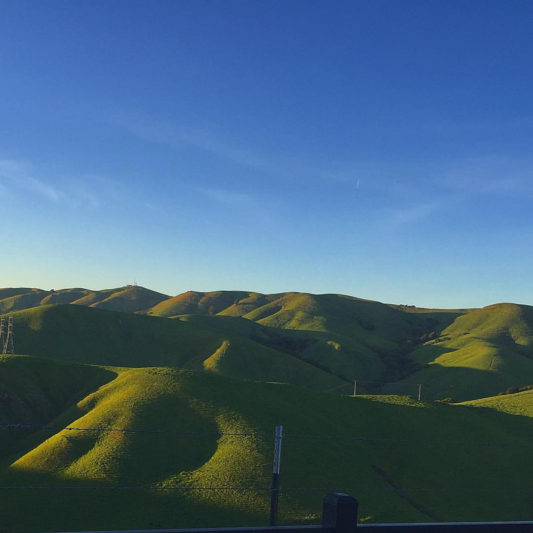
Oceans of Green
Th fog was rolling in quick!

Las Trampas
APC_1146-hdr-Pano.jpg
Topographic Map of Bollinger Canyon Rd, Moraga, CA, USA
Find elevation by address:

Places near Bollinger Canyon Rd, Moraga, CA, USA:
Las Trampas Peak
Las Trampas Peak
1197 Bollinger Canyon Rd
1812 Hunsaker Canyon Rd
2154 Las Trampas Ridge Trail
2138 Las Trampas Rd
1381 Bollinger Canyon Rd
Cross Path
622 Terra California Dr
1707 Las Trampas Rd
Silverado Drive
Las Trampas Regional Wilderness
1141 Fairlawn Ct
19 Hartwood Ct
2600 Saklan Indian Dr
Bolinger Canyon
384 Castle Crest Rd
3021 Lunada Ln
Saint Mary's College Of California
Los Pallos
Recent Searches:
- Elevation of E Brightview Ave, Pittsburgh, PA, USA
- Elevation of Cavendish Rd, Harringay Ladder, London N4 1RR, UK
- Elevation of 1 Zion Park Blvd, Springdale, UT, USA
- Elevation of Ganderbal
- Elevation map of Konkan Division, Maharashtra, India
- Elevation of Netaji Nagar, Hallow Pul, Kurla, Mumbai, Maharashtra, India
- Elevation of Uralsk, Kazakhstan
- Elevation of 45- Kahana Dr, Honokaa, HI, USA
- Elevation of New Mexico 30, NM-30, Española, NM, USA
- Elevation of Santmyer Way, Charles Town, WV, USA