Elevation of Bois-Franc, QC, Canada
Location: Canada > Québec > La Vallée-de-la-gatineau Regional County Municipality >
Longitude: -75.946842
Latitude: 46.5218029
Elevation: 178m / 584feet
Barometric Pressure: 99KPa
Elevation Map:
Satellite Map:
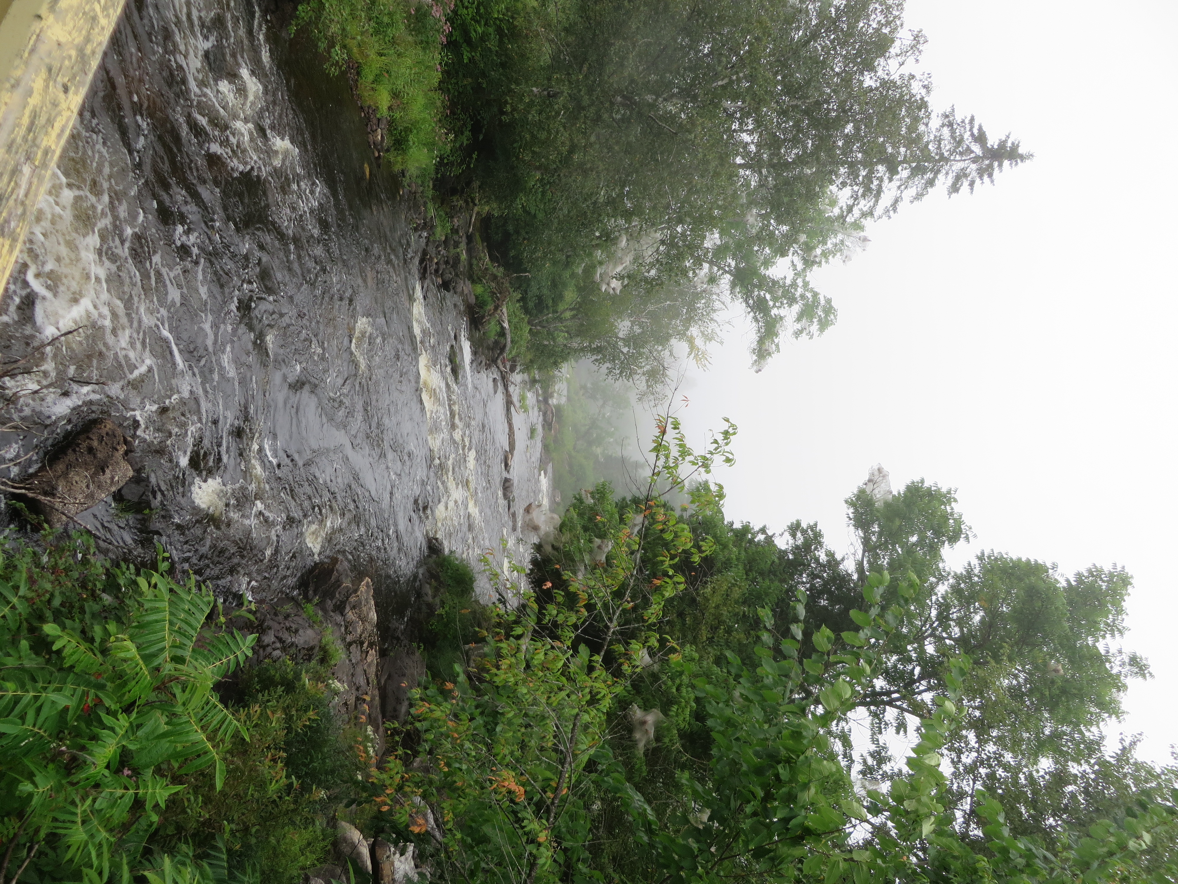
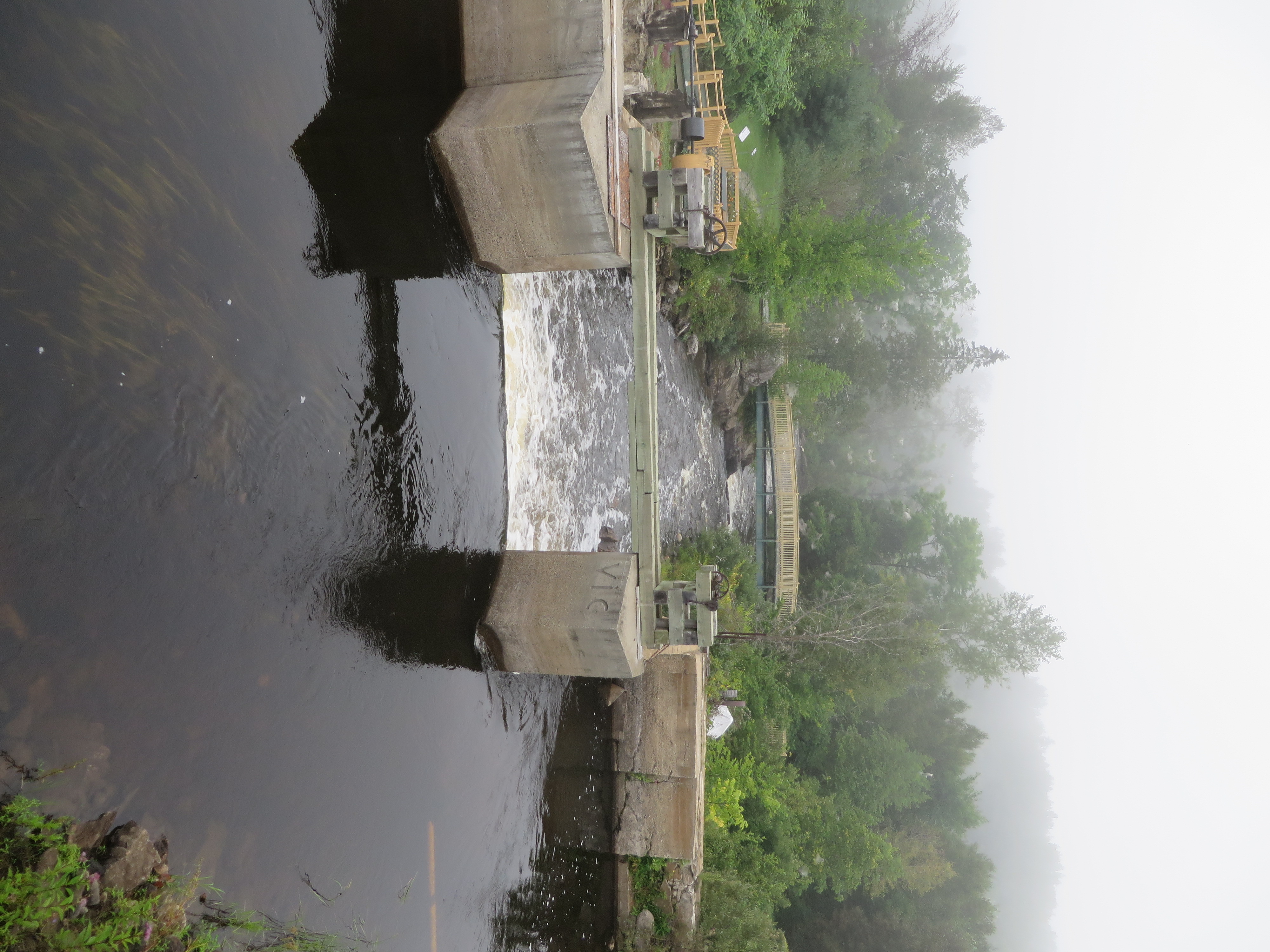
Related Photos:
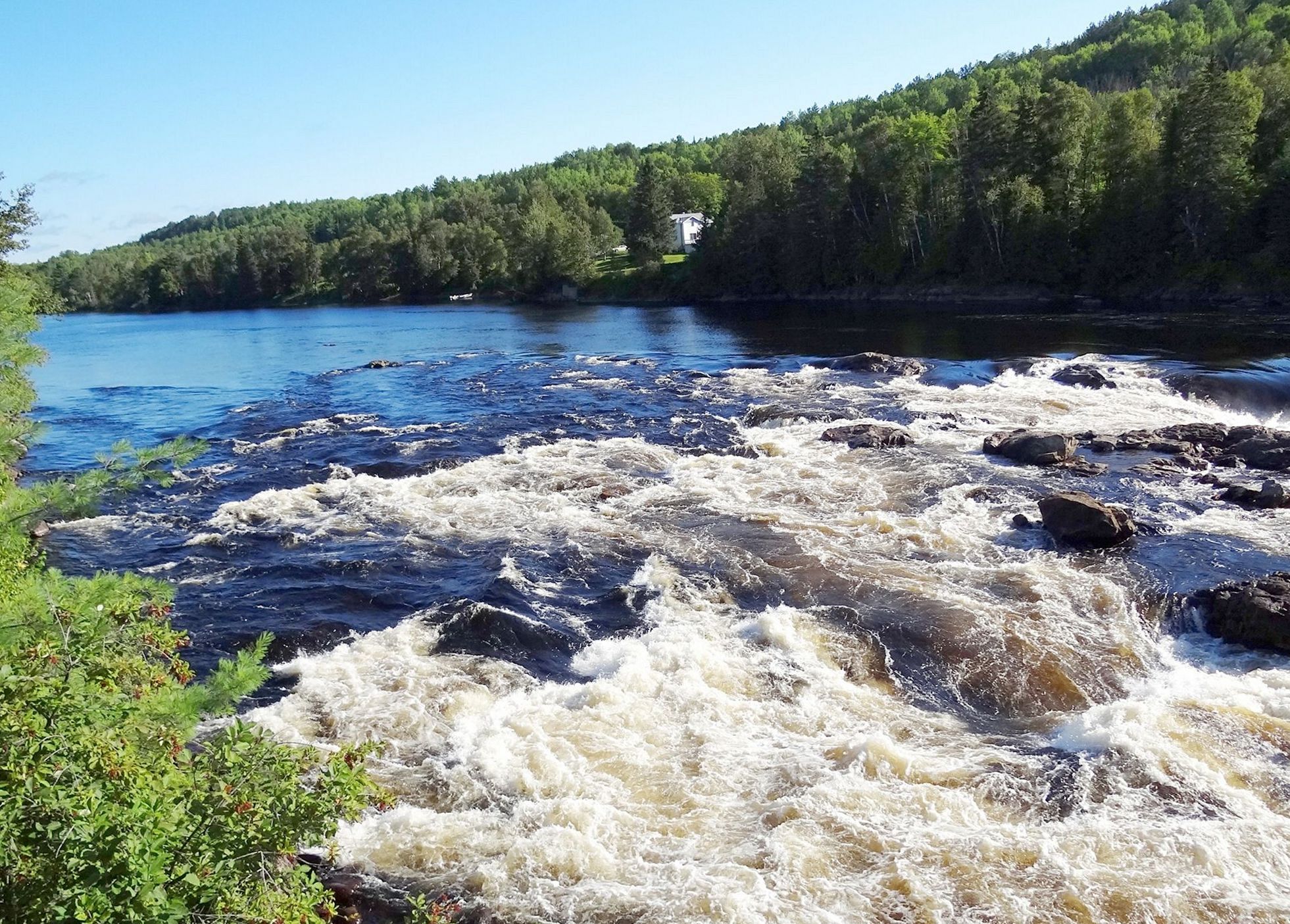
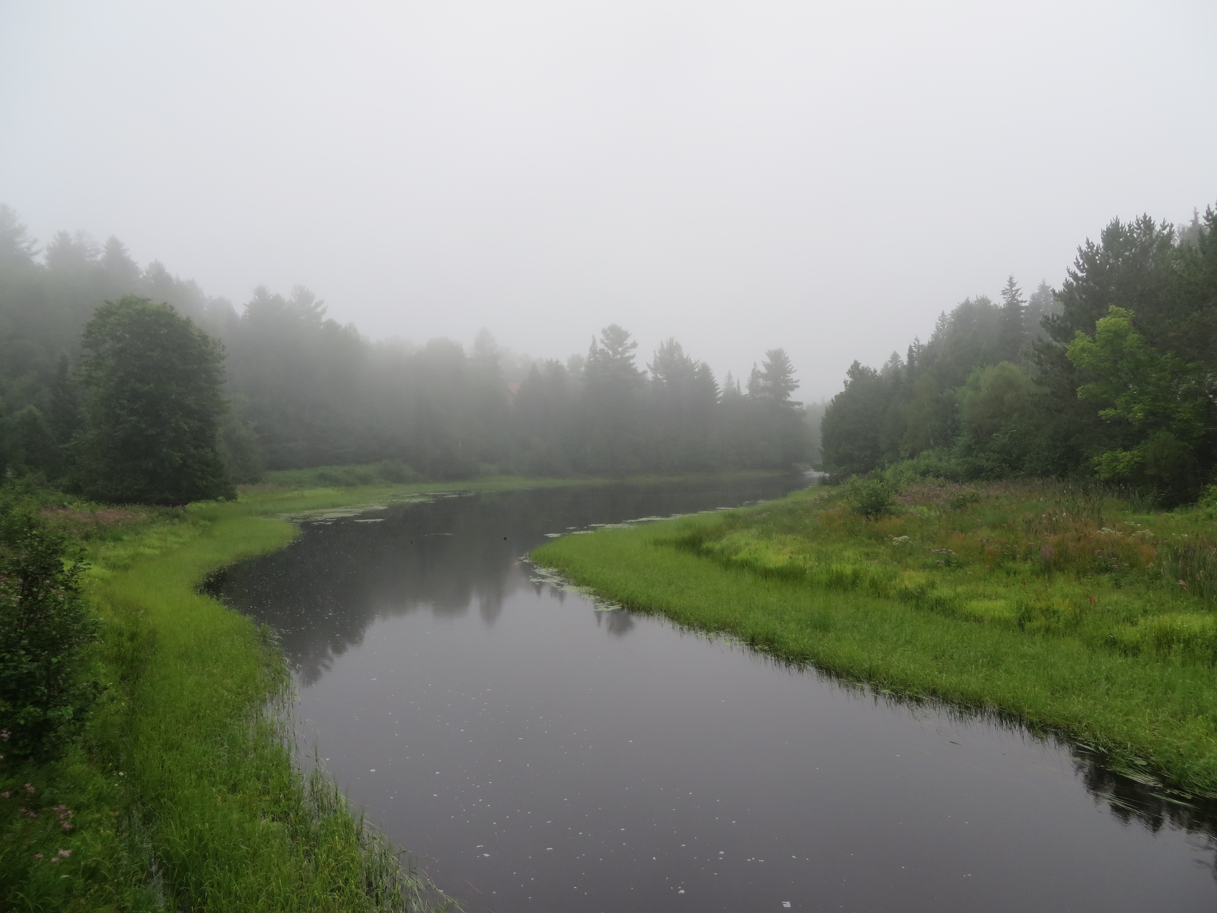
La rivière Gatineau à Grand-Remous, Québec

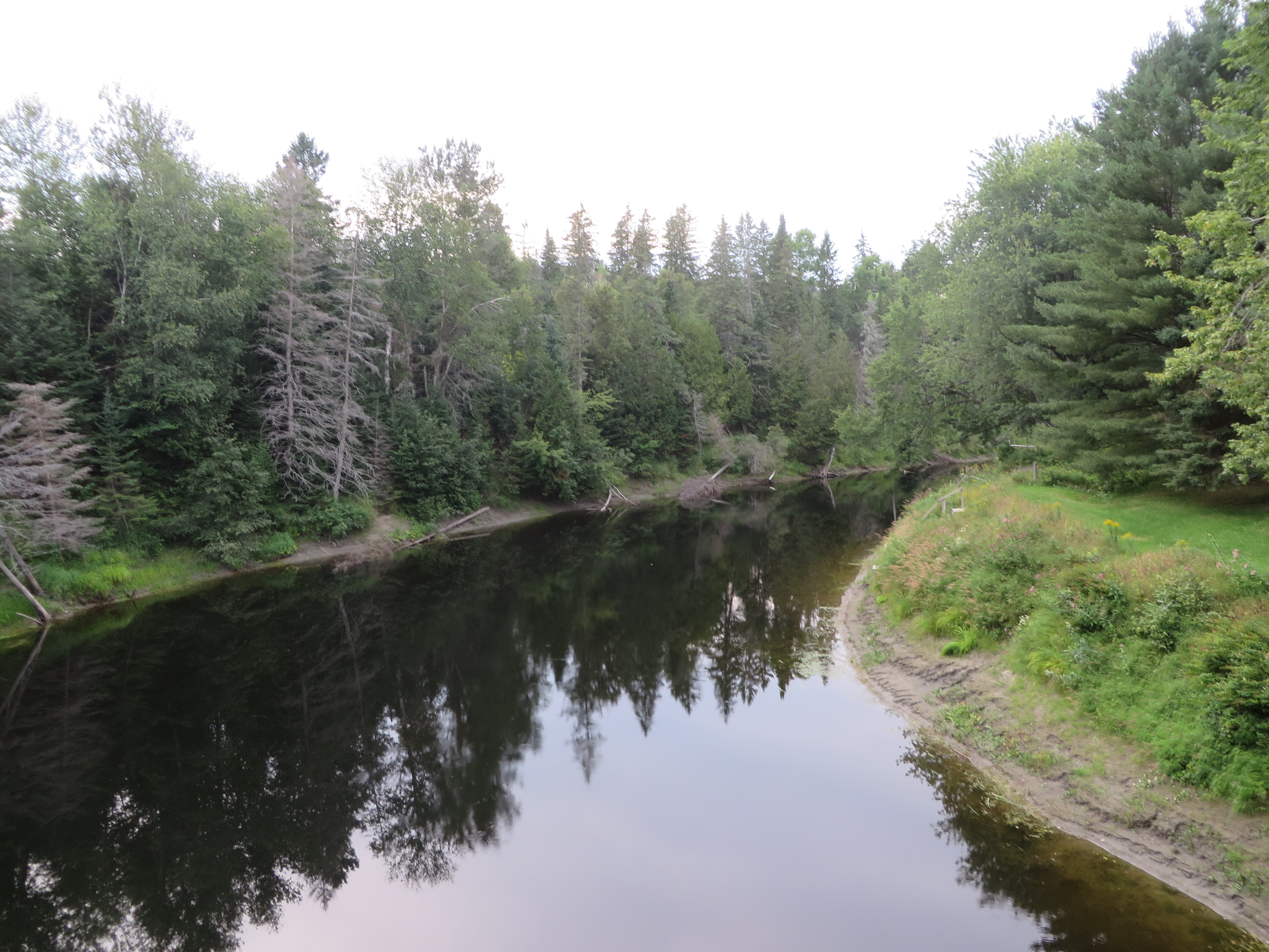
Marais - Marsh DSC_6066 copie
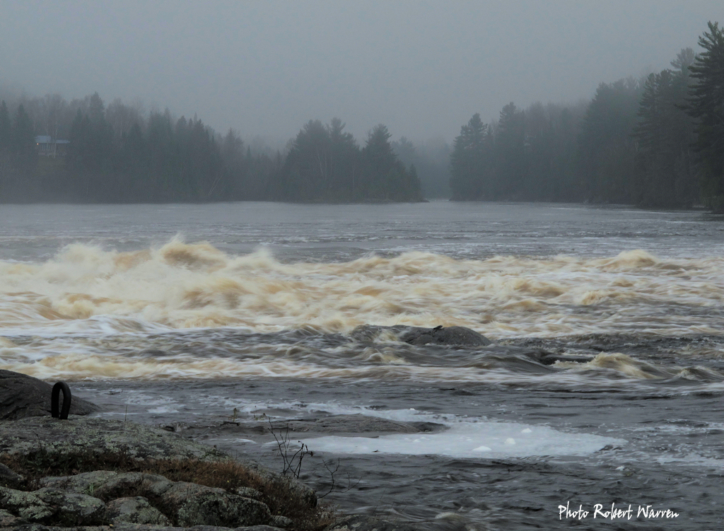
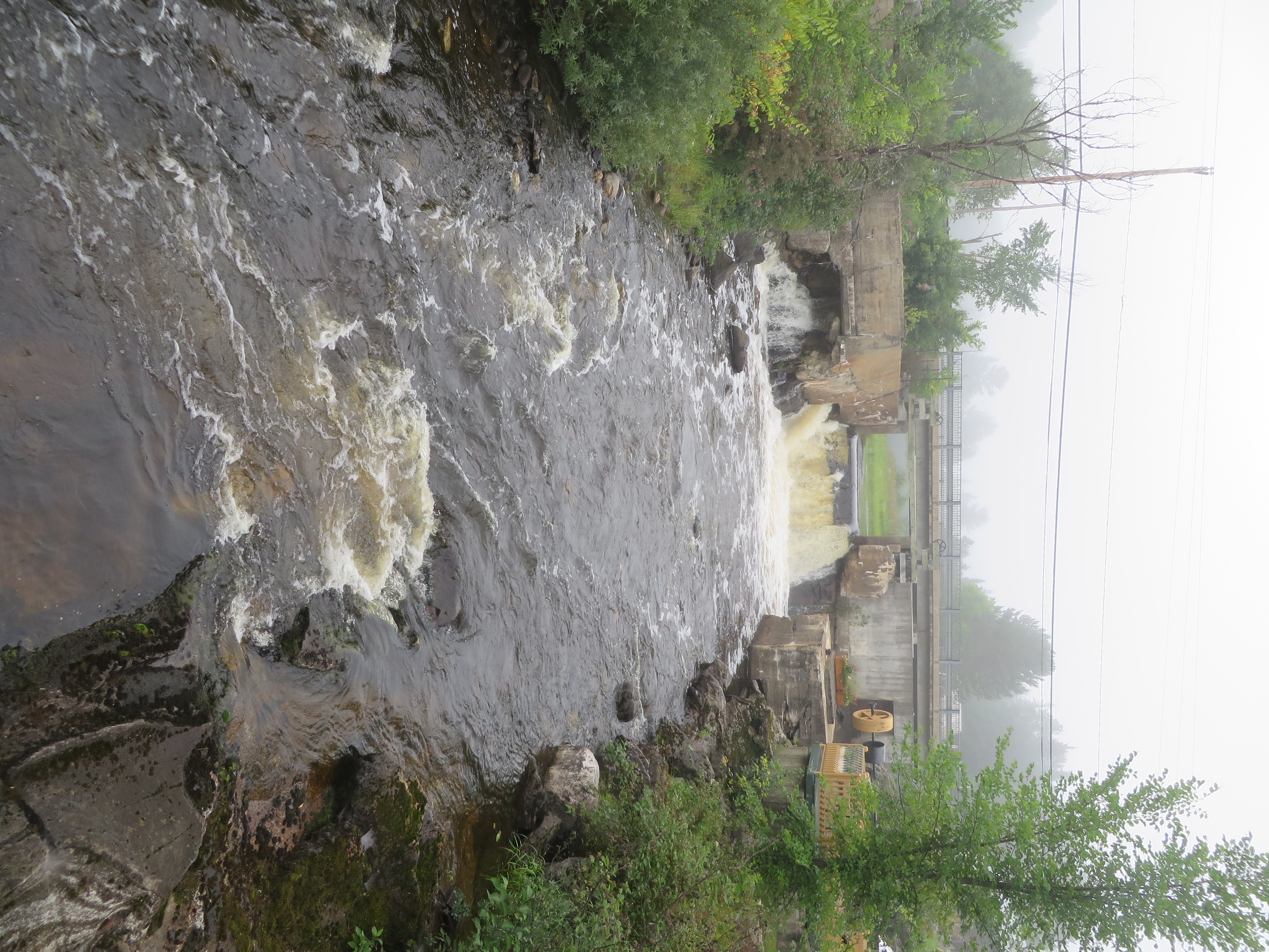
Les rapides à Grand-Remous, Québec

Les rapides à Grand-Remous, Québec

Maniwaki, Québec
Aumond, Québec
Aumond, Québec
Aumond, Québec
Aumond, Québec
Egan-Sud, Québec
Topographic Map of Bois-Franc, QC, Canada
Find elevation by address:

Places near Bois-Franc, QC, Canada:
385 Chemin De La Rivière Gatineau N
213 Chemin Bourque
1 Chemin De L'aigle
La Vallée-de-la-gatineau Regional County Municipality
Rapid Lake
Cabonga Reservoir
Reservoir Cabonga
Lac-nilgaut
Pontiac Regional County Municipality
Recent Searches:
- Elevation of Warwick, RI, USA
- Elevation of Fern Rd, Whitmore, CA, USA
- Elevation of 62 Abbey St, Marshfield, MA, USA
- Elevation of Fernwood, Bradenton, FL, USA
- Elevation of Felindre, Swansea SA5 7LU, UK
- Elevation of Leyte Industrial Development Estate, Isabel, Leyte, Philippines
- Elevation of W Granada St, Tampa, FL, USA
- Elevation of Pykes Down, Ivybridge PL21 0BY, UK
- Elevation of Jalan Senandin, Lutong, Miri, Sarawak, Malaysia
- Elevation of Bilohirs'k