Elevation of Bob Pitts Rd, Holt, FL, USA
Location: United States > Florida > Okaloosa County > Holt >
Longitude: -86.817644
Latitude: 30.7359344
Elevation: 35m / 115feet
Barometric Pressure: 101KPa
Elevation Map:
Satellite Map:
Related Photos:

Epic view (edit 2)

Trumpeter Swan FL March 2016

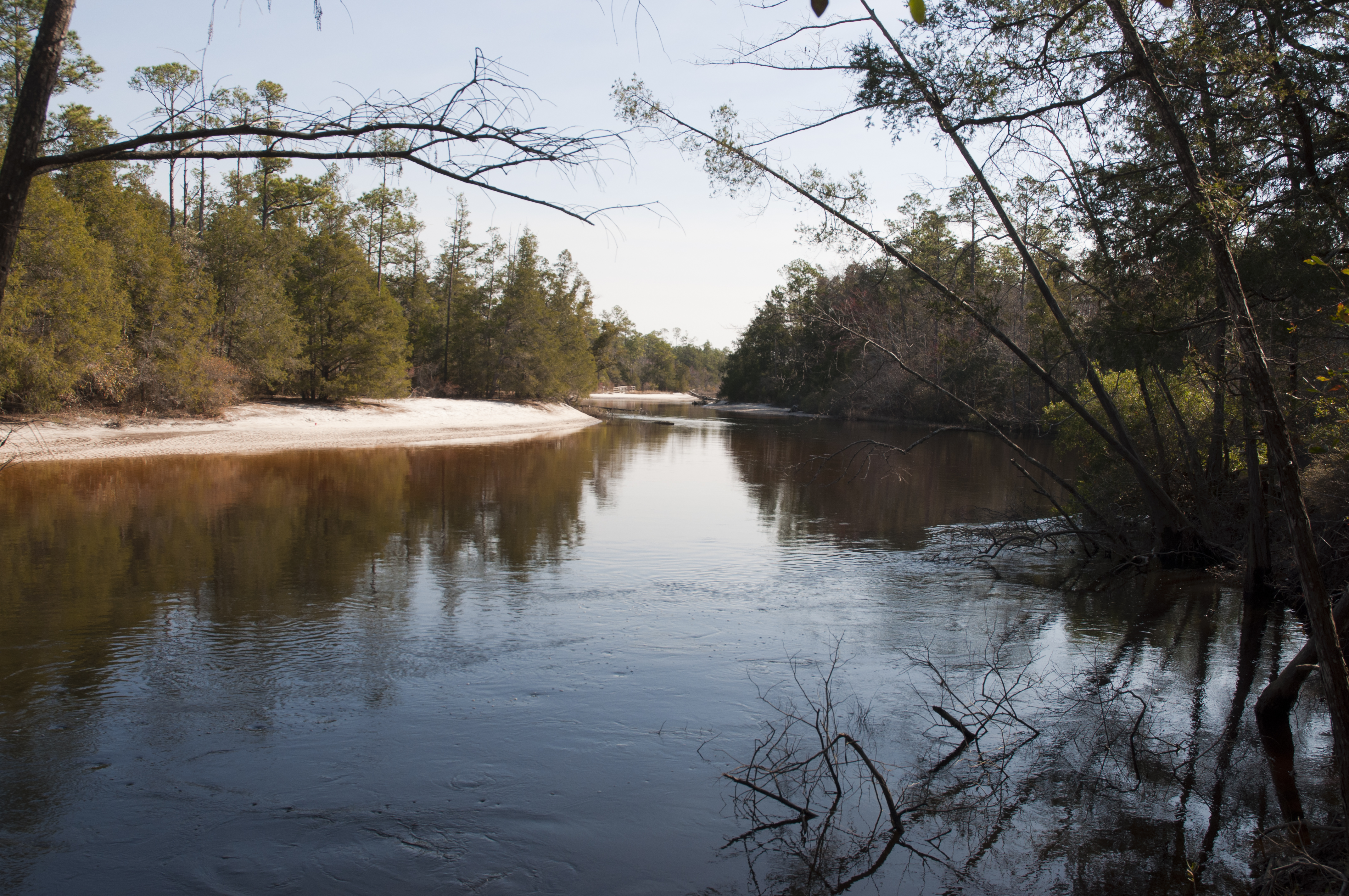
Blackwater River State Forest, Florida
Blackwater River State Forest, Florida
Colour Of Life Water Reflections River View Park Vacation Hello World Check This Out Hanging Out That's Me Enjoying Life Sun Beauty In Nature

Hiking...
Blackwater River State Park, Florida
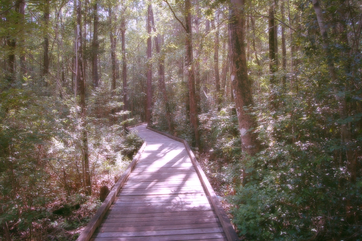
Juniper Creek Trail - Blackwater River State Forest, Florida

Blackwater River State Park, Florida
Blackwater River State Park, Florida
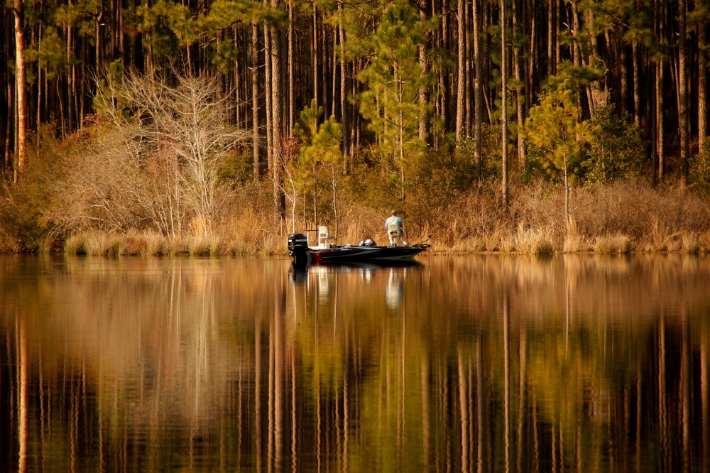
Fisherman on Bear Lake
Florida Trail - Eglin Reservation, Florida
Cypress Trees

Big Juniper Creek in the Florida panhandle
138:365 - sunset flood

Juniper Creek Trail - Blackwater River State Forest, Florida
Baker, Florida
Boy Fishing on Dock
day19 651
2014 06 14_Munson_5115
Topographic Map of Bob Pitts Rd, Holt, FL, USA
Find elevation by address:

Places near Bob Pitts Rd, Holt, FL, USA:
8384 Fish Hatchery Rd
4526 Bryant Bridge Cutoff Rd
Bliss Way
555 Springtime Ave
Holt
4198 Whippoorwill Dr
Annie Jo Road
Yellow River Lane
498 Yellow River Ln
Galiver Cutoff, Holt, FL, USA
1029 Trawick Creek Rd
928 Hiawatha St
960 Hiawatha St
Wilkerson Bluff Road
5155 Keyser Mill Rd
4472 Wilkerson Bluff Rd
5332 Morrisey Cir
Ray St, Baker, FL, USA
Milligan
534 Vulpes Sanctuary Loop
Recent Searches:
- Elevation of Luther Road, Luther Rd, Auburn, CA, USA
- Elevation of Unnamed Road, Respublika Severnaya Osetiya — Alaniya, Russia
- Elevation of Verkhny Fiagdon, North Ossetia–Alania Republic, Russia
- Elevation of F. Viola Hiway, San Rafael, Bulacan, Philippines
- Elevation of Herbage Dr, Gulfport, MS, USA
- Elevation of Lilac Cir, Haldimand, ON N3W 2G9, Canada
- Elevation of Harrod Branch Road, Harrod Branch Rd, Kentucky, USA
- Elevation of Wyndham Grand Barbados Sam Lords Castle All Inclusive Resort, End of Belair Road, Long Bay, Bridgetown Barbados
- Elevation of Iga Trl, Maggie Valley, NC, USA
- Elevation of N Co Rd 31D, Loveland, CO, USA