Elevation of Blythedale Dr, Mt Airy, MD, USA
Location: United States > Maryland > Carroll County > 13, Mount Airy > Mount Airy >

Longitude: -77.1842

Latitude: 39.391143

Elevation: 232m / 761feet

Barometric Pressure: 99KPa

Elevation Map:

elevation map of Blythedale Dr, Mt Airy, MD, USA
Satellite Map:

Satellite map of Blythedale Dr, Mt Airy, MD, USA
Related Photos:

coral dragon lego crystal fairy faerie siercon
Faerie Dragon
sunset sky panorama maryland mobilephotography nakevaphotography n3cp droidography andrography
sunset at John T. Baker Middle School
ship lego space alien moc starfighter mtron
Starfighter Infection
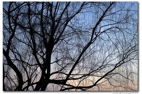
sunset sky tree clouds photoshop maryland willow canonrebelxt hdr naturewatcher firefighter247
Willow Silhouette 2
orange fruit maryland delicious canonrebelxt roygbiv firefighter247
Same Sliced Orange
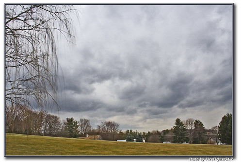
trees winter sky storm rain clouds photoshop maryland stormy canonrebelxt hdr firefighter247
More Storms
photoshop multiplicity clones deepthoughts creativephotography theunforgettablepictures onlythebestare firefighter247
Deep Thoughts
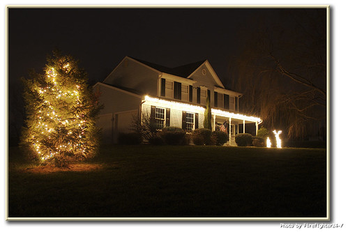
longexposure night lights maryland soe smörgasbord christmas2007 centralmaryland theunforgettablepictures excapture firefighter247
Lights before Christmas
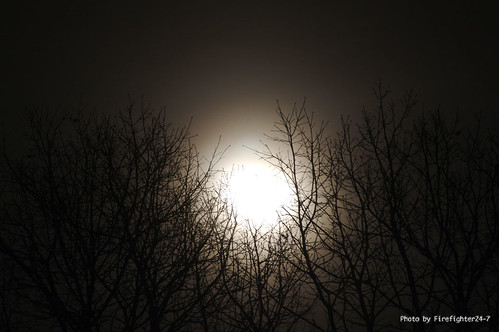
trees moon unitedstates maryland woodbine fabulous picturesque smörgåsbord blueribbonwinner excapture firefighter247
Moon in the Trees
farm photoaday frederickmd whilecycling
Day 156 of 365 for 2013
rosssgoose rosssgeese
Ross's Goose One of Four for #284
blue trees sky orange sun sunshine bushes sunspot project365
Day Fifty Four- Sunshine
flowers sunlight feet grass hair pattern dress legs project365
Day One Hundred and Forty Three- Another View From Above
longexposure night lights maryland christmas2007 centralmaryland firefighter247
Lights before Christmas
selfportrait flower feet shirt sweater toes pattern buttons project365
Day Fifteen- A View From Above
trees moon unitedstates maryland woodbine fabulous picturesque smörgåsbord yourfavorites firefighter247
In the Trees with a Lens Flare
family fall home
Street view
horses rural maryland land farms damascus equestrian equine montgomerycounty tayormadebarns
Barn View
county maryland damascus 2010 montgomerycounty
Stitching Exercise 2 - 101029
sunset geotagged maryland powerline geolat3935750 geolon7714139
DSCS701593.JPG
trees photoshop bench backyard multiplicity clones canonrebelxt impressedbeauty firefighter247 ijustkeepwonderingwhich isthedominantpersonality
Left Out
christmas winter cold nature nikon christmastree treefarm christmastreefarm christmasfeeling gavertreefarm nikond7000
Christmas Feeling
christmas travel trees winter cold nature nikon farm maryland treefarm christmastreefarm nikond7000
Christmas Tree Farm
photo 1
flower tree castle coral forest river stream lego vine tropical faerie moc paridise siercon
Tropical Paridise
usa lake reflection water maryland newmarket lakelinganore
Lake at sunrise
moon maryland nightsky canonrebelxt smörgåsbord anawesomeshot theunforgettablepictures tup2 firefighter247
Ides of March
bobolink dolichonyxoryzivorus
Are You As Dangerous As A Cooper's Hawk?
shadow female darner aeshnaumbrosa
Female Shadow Darner
black vineyard maryland winery ankle
Black Ankle Vineyards
iphone pictureshow i365 365pix iphone4 iphoneography
the straight and narrow
maryland
136/365: Maryland Vineyard
picplz foursquare:venue=4eb3ebf22c5b531419a51427
Sweet country air
maryland wanderlust travelbug cloudporn outdoorlife snowpocalypse neverstopexploring skyporn skylovers snowmageddon outdoorwomen skypainters lifeofadventure outdooradventurephotos mytravelgram uploaded:by=flickstagram rei1440project liveauthentic galaxys6 adventurethatislife darlingescapes dametraveler radgirlslife simplyadventure welivetoexplore wildernessbabes adventureculture thiswanderer blizzard2016 earthgirladventures myfavtourlina instagram:photo=118561723748235608738433534 instagram:venuename=urbana2cmaryland instagram:venue=242533519
And the Snowventure continues! ???? #skylovers...
thefarm
Crazy storm moving through @ the farm
dcfilm hipstamatic salvador84lens oggl
What's the altitude?
light sunset moon tree silhouette clouds dark shadows project365
Day Seven- Light to Dark
365 iphone magrudertrail
Morning Walk (350-366)
autumn red plant flower macro fall field outdoors photography us unitedstates bokeh farm maryland shade woodbine pedal macrophotography flowerpedal shadeofred
P1050846.jpg
md unitedstates mountairy
Black Ankle Winery
Streem-7