Elevation of Blue Stack Mountains, Cloghervaddy, Co. Donegal, Ireland

Location: Ireland > Donegal > Cloghervaddy >

Longitude: -7.971389

Latitude: 54.7575

Elevation: 369m / 1211feet

Barometric Pressure: 97KPa

Elevation Map:

elevation map of Blue Stack Mountains, Cloghervaddy, Co. Donegal, Ireland

Satellite Map:

Satellite map of Blue Stack Mountains, Cloghervaddy, Co. Donegal, Ireland

Related Photos:

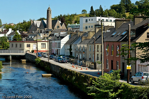
Evening Sun in the Bluestacks
dawn venus mercury dusk saturn constellation conjunction earthandspace Astrometrydotnet:status=failed brendanalexander competition:astrophoto=2012 Astrometrydotnet:id=alpha20120347237576 donegalirelandlocationdonegalireland
Planets at Trusk
county ireland sunset summer vacation sky irish plants lake holiday reflection abandoned tourism nature wet water grass pine night clouds forest reeds walking lens landscape photography countryside moss still nikon europe lough photographer natural heather side country wide scenic visit tourist calm hills trail lilies swamp fox land fir hd marsh nikkor sixth bog rushes gareth hdr donegal tyrone wray lakescape strabane castlederg tonemapped 1024mm lily’s d5300 corgary killeter hdfox bannadoo
Loughahull - Ireland
county blue trees ireland sunset red summer vacation sky irish sun lake holiday mountains reflection nature pool set clouds reflections reeds lens landscape photography pier site big dock sand nikon rocks europe lough ray photographer natural dusk walk heather jetty horizon scenic gap award visit tourist stack hills pools fox hd colourful nikkor moor scape gareth barnes hdr donegal mourne wray lakescape strabane ballybofey bluestack barnesmore 1024mm d5300 hdfox kinletter
An Bearnas Mór
dji phantom 4 four drone aerial quadcopter lough lake irish hill county donegal ireland summer landmark stone monument tourist tourists site famous visit scenic countryside gareth wray photography nikon blue sun sky bog eske bluestack stack hills mountains photographer vacation holiday europe landscape wild atlantic way sunset shore coast tawnawully bay amincheen fad harveys point solis castle red walk hike sea
Lough Eske - County Donegal
dji phantom 4 four drone aerial quadcopter lough lake irish hill county donegal ireland summer landmark stone monument tourist tourists site famous visit scenic countryside gareth wray photography nikon blue sun sky bog eske bluestack stack hills mountains photographer vacation holiday europe landscape wild atlantic way sunset shore coast tawnawully bay amincheen fad harveys point solis castle red walk hike sea
Lough Eske & The Bluestacks - County Donegal
dawn venus mercury dusk saturn constellation conjunction Astrometrydotnet:status=solved Astrometrydotnet:version=14400 brendanalexander Astrometrydotnet:id=alpha20120387886527 donegalirelandlocationdonegalireland
Planets at Trusk
ireland railcar daisy ulster codonegal no18 nationallibraryofireland fintown stranorlar jamespo’dea o’deaphotographiccollection slidingvents winddownwindows weedonegal
Railcar, Stranorlar, Co. Donegal.
county old ireland windows summer vacation sky irish plants house holiday reflection brick abandoned tourism home nature wet water field grass stone clouds river reeds lens landscape photography countryside moss nikon europe day photographer cattle natural decay farm side country wide scenic visit tourist calm hills equipment valley swamp fox land hd marsh nikkor bog rushes gareth hdr donegal famine tyrone wray strabane ballybofey fintown stranorlar 1024mm seacor d5300 flickrbronzetrophygroup hdfox pwpartlycloudy
Built To Last
county old bridge flowers trees ireland summer vacation irish plants holiday mountains heritage tourism nature grass yellow stone rural forest river reeds lens landscape photography countryside moss nikon gate stream europe lough day photographer natural cloudy hiking walk traditional side country wide scenic visit tourist hills fox land marsh flowing nikkor northern scape rushes gareth hdr daffodils donegal derg tyrone wray strabane castlederg sperrins xhd 1024mm d5300 killeter hdfox pwsummer crocknacunny
Let Yourself Go
Todays shoot was Downpatrick Head. Downpatrick Head is a majestic heritage site found about 5km north of Ballycastle village. Jutting out into the ocean and rising almost 40m above the waves, it provides unparalleled views of the Atlantic, including the
ocean blue ireland sky irish water beautiful weather clouds forest reflections wonderful river landscape bay town moody view cloudy fabulous murky hdr donegal ulster canon24105mmf4lis canon40d
Donegal bay in HDR
dji phantom 4 pro p4p four drone aerial fintown norway finn fin railway train gaeltacht hamlet aghla town quadcopter lough island lake irish hill county donegal ireland tourist tourists site famous visit scenic countryside druid celtic gareth wray photography nikon sun sky historic heather bog heath national gaelic photographer vacation holiday europe kingdom outdoor landscape wild atlantic way sunset shore grass tree water ocean
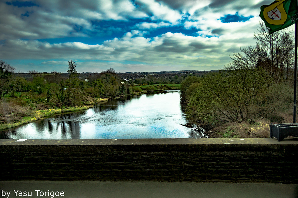
“Lough Finn & Fintown”
ireland town donegal smörgåsbord golddragon platinumphoto aplusphoto brillianteyejewel theperfectphotographer eyeofthephotographer goldstaraward ilovemypics sewerdoc ©jaredfein
Donegal 4
Todays shoot was Downpatrick Head. Downpatrick Head is a majestic heritage site found about 5km north of Ballycastle village. Jutting out into the ocean and rising almost 40m above the waves, it provides unparalleled views of the Atlantic, including the
wedding car vintage automobile limo limosine donegal donegaltown diamondclassphotographer exceptionalireland sewerdoc ©jaredfein
Donegal 8
hearth fireplace carvings crests ruins mantelpiece joshuaharrisonhargrave joshuahhargrave joshuahhargravecollection lanternslides 1895 1890s 19thcentury nationallibraryofireland ubiestcanis donegalcastle caisleándhúnnangall castle donegaltown donegal ireland ulster brookefamilycrest leycesterfamilycrest locationidentified
"Carved, stone mantelpiece with crests over the hearth in an unidentified location" = Donegal Castle!
viewofriverfinnatstranorlarincountyofdonegalireland
Mayo Galway Ireland 37
ocean blue ireland sky water beautiful clouds forest reflections wonderful river landscape bay moody view cloudy fabulous murky hdr donegal ulster canon24105mmf4lis canon40d cloudsstormssunsetssunrises
Donegal bay
ireland blackwhite railways donegal
Donegal. View from footplate. 20.8.59
ireland dog sheep donegal irishdogs ilovemypics sewerdoc ©jaredfein
Working Irish Sheepdog
winter snow barnesmore gap donegal ireland mountains lakes sunrise sunset landscape seascape woodland
Lough Mourne with Barnesmore Gap County Donegal
trees light sunset nature monochrome silhouette fence blackwhite twilight dusk path branches n8 donegaltown thebankwalk
Trees at Twilight
Drew University/Birmingham Southern College January 2019
donegal ireland sunrise sunset landscape seascape mountains lakes woodland
A Bird's Eye View
winter snow barnesmore gap donegal ireland mountains lakes sunrise sunset landscape seascape woodland
Croaghonagh Mountain. Lough Mourne Ballybofey in the distance. — at Barnesmore Gap Lough Mourne County Donegal Ireland
day cloudy pwwinter
Dungloe snow
ireland winter irish mountains green nature water beautiful grass rock stone rural canon river eos waterfall rocks stream heather naturallight hills rivers donegal ulster 600d 2013 bluestack bluestackmountains canoneos600d
Starting 2013 as I mean to go on.....
lake evening rugged donegal bluestackmounains loughea
Lough Ea
tree trees reflection autumn eske river nature light cameraphone lumia1020 landscape
Bank Walk Reflected
Donegal and NI 2017
photo landscape sunset ireland nature outdoor lake clouds countryside travel cloud photography hills sky light donegal europe geotagged mountain countydonegal ie onsale
Hills of Donegal - Ireland - Landscape photography
The N15, Lough Mourne Barnesmore County Donegal IRELAND