Elevation of Blue Mountain Rd, St Regis Falls, NY, USA
Location: United States > New York > Franklin County > Waverly > Saint Regis Falls >
Longitude: -74.496909
Latitude: 44.611105
Elevation: 459m / 1506feet
Barometric Pressure: 96KPa
Elevation Map:
Satellite Map:
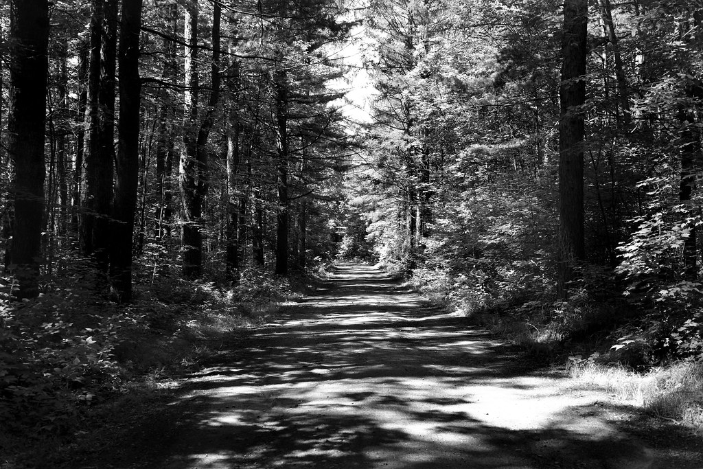
Related Photos:
Everton Falls

Clouds over the High-Peaks
08-14-17_Adirondacks_072
08-14-17_Adirondacks_069
West Mountain

West Mountain
Road At Deer River
2012-12-11_10-51-37_745
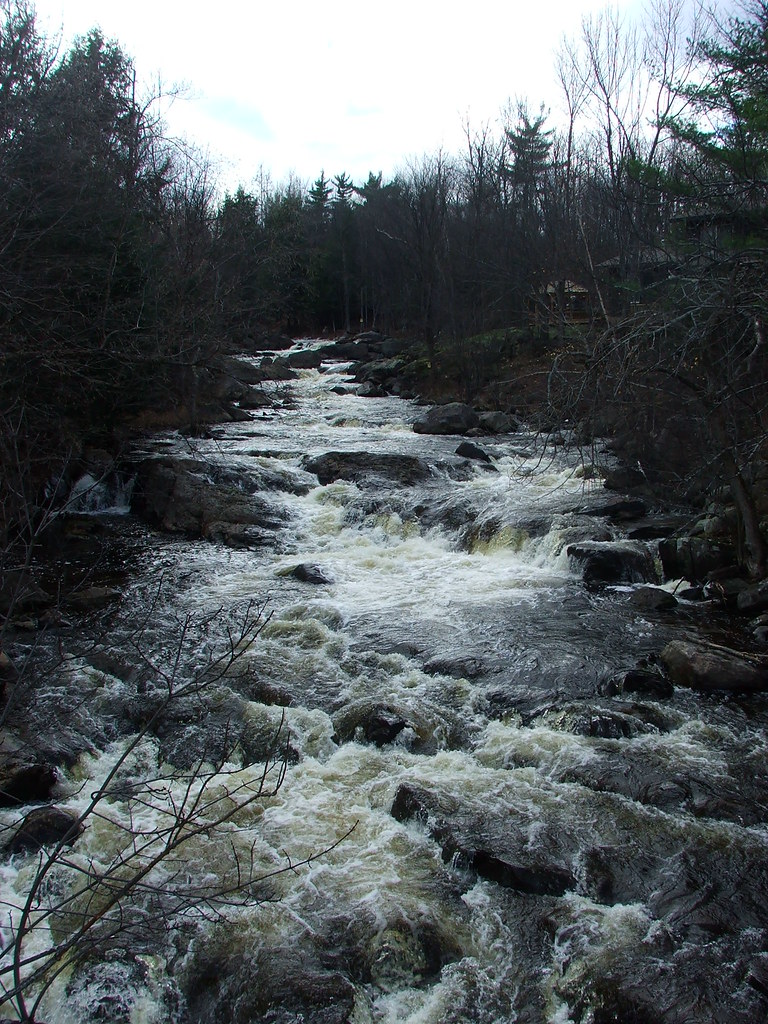
St. Regis River

bacon/freud

Blue Mtn bog site of Sue's record Somatoclora franklinii
Topographic Map of Blue Mountain Rd, St Regis Falls, NY, USA
Find elevation by address:

Places near Blue Mountain Rd, St Regis Falls, NY, USA:
Blue Mountain Rd, St Regis Falls, NY, USA
35 Center St, St Regis Falls, NY, USA
Santa Clara
Azure Mountain
Waverly
Dale Road
21 Mandish Rd, North Bangor, NY, USA
Brandon
County Road 15
Franklin County
Santa Clara
Brushton
Co Rte 53, North Bangor, NY, USA
Old Rte 99, Malone, NY, USA
North Bangor
Bangor
763 Fax-brushton Rd
Duane
Malone, NY, USA
Malone
Recent Searches:
- Elevation of Steadfast Ct, Daphne, AL, USA
- Elevation of Lagasgasan, X+CQH, Tiaong, Quezon, Philippines
- Elevation of Rojo Ct, Atascadero, CA, USA
- Elevation of Flagstaff Drive, Flagstaff Dr, North Carolina, USA
- Elevation of Avery Ln, Lakeland, FL, USA
- Elevation of Woolwine, VA, USA
- Elevation of Lumagwas Diversified Farmers Multi-Purpose Cooperative, Lumagwas, Adtuyon, RV32+MH7, Pangantucan, Bukidnon, Philippines
- Elevation of Homestead Ridge, New Braunfels, TX, USA
- Elevation of Orchard Road, Orchard Rd, Marlborough, NY, USA
- Elevation of 12 Hutchinson Woods Dr, Fletcher, NC, USA