Elevation of Blower Rd, Guilford, NY, USA
Location: United States > New York > Chenango County > Guilford >
Longitude: -75.441539
Latitude: 42.452874
Elevation: 505m / 1657feet
Barometric Pressure: 95KPa
Elevation Map:
Satellite Map:
Related Photos:

Lyon Brook Trestle, April 1959

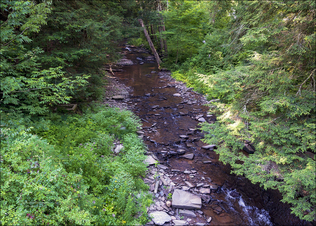
Canasawacta Creek
Stream at "Streamhouse"

Major's Inn, Gilbertsville NY

rear elevation

Tianderah, Gilbertsville NY (1930)

D. L. & W. RR Bridge, Norwich, NY

Morning on the Hill

Lawn jockey guarding the home

Butternut Valley Grange, Gilbertsville NY

Butternut Valley Grange, Gillbertsville NY

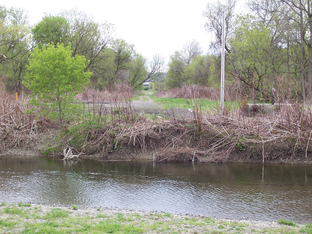
Chenango River in Chenango County, N.Y.

Chenango River in Chenango County, N.Y.

Two Friends, Again

On Halbert Hill Rd 1
NY Ontario & Western ROW, Norwich, NY

Chenango River in Chenango County, N.Y.

Canasawacta Creek

Howdy Tex!

Shacktown Mountain in the Distance

Early Autumn on the Canasawacta

Backside of Dukes Emporium

#whyweride 2

Stone Wall Lyon Brook

Mt Upton Sunset
Upstate with the parents

Mt Upton Sunset

Morning Meadow

Camera Roll-403
Camera Roll-402
Topographic Map of Blower Rd, Guilford, NY, USA
Find elevation by address:

Places near Blower Rd, Guilford, NY, USA:
443 Keach Rd
895 County Rd 33
Guilford
Norwich
Old Mill Restaurant
804 Wahlberg Rd
Church Street
Mount Upton
Guilford
Ives Settlement Rd, Bainbridge, NY, USA
County Rd 34, Norwich, NY, USA
County Rte 40, Mt Upton, NY, USA
1091 County Rd 38
1091 County Rd 38
6275 Ny-23
Co RD 37 Rd, South New Berlin, NY, USA
South New Berlin
21 Hayward Ave
999 Shapley Rd
38 Marion Ave
Recent Searches:
- Elevation of 6 Rue Jules Ferry, Beausoleil, France
- Elevation of Sattva Horizon, 4JC6+G9P, Vinayak Nagar, Kattigenahalli, Bengaluru, Karnataka, India
- Elevation of Great Brook Sports, Gold Star Hwy, Groton, CT, USA
- Elevation of 10 Mountain Laurels Dr, Nashua, NH, USA
- Elevation of 16 Gilboa Ln, Nashua, NH, USA
- Elevation of Laurel Rd, Townsend, TN, USA
- Elevation of 3 Nestling Wood Dr, Long Valley, NJ, USA
- Elevation of Ilungu, Tanzania
- Elevation of Yellow Springs Road, Yellow Springs Rd, Chester Springs, PA, USA
- Elevation of Rēzekne Municipality, Latvia