Elevation of Bloomfield Township, OH, USA
Location: United States > Ohio > Trumbull County >
Longitude: -80.876520
Latitude: 41.4580972
Elevation: 256m / 840feet
Barometric Pressure: 98KPa
Elevation Map:
Satellite Map:
Related Photos:
Windsor Mills Bridge
View from the front porch

(#22) Ohio Bicentennial Barn, Geauga County

more Bill's Hybrids
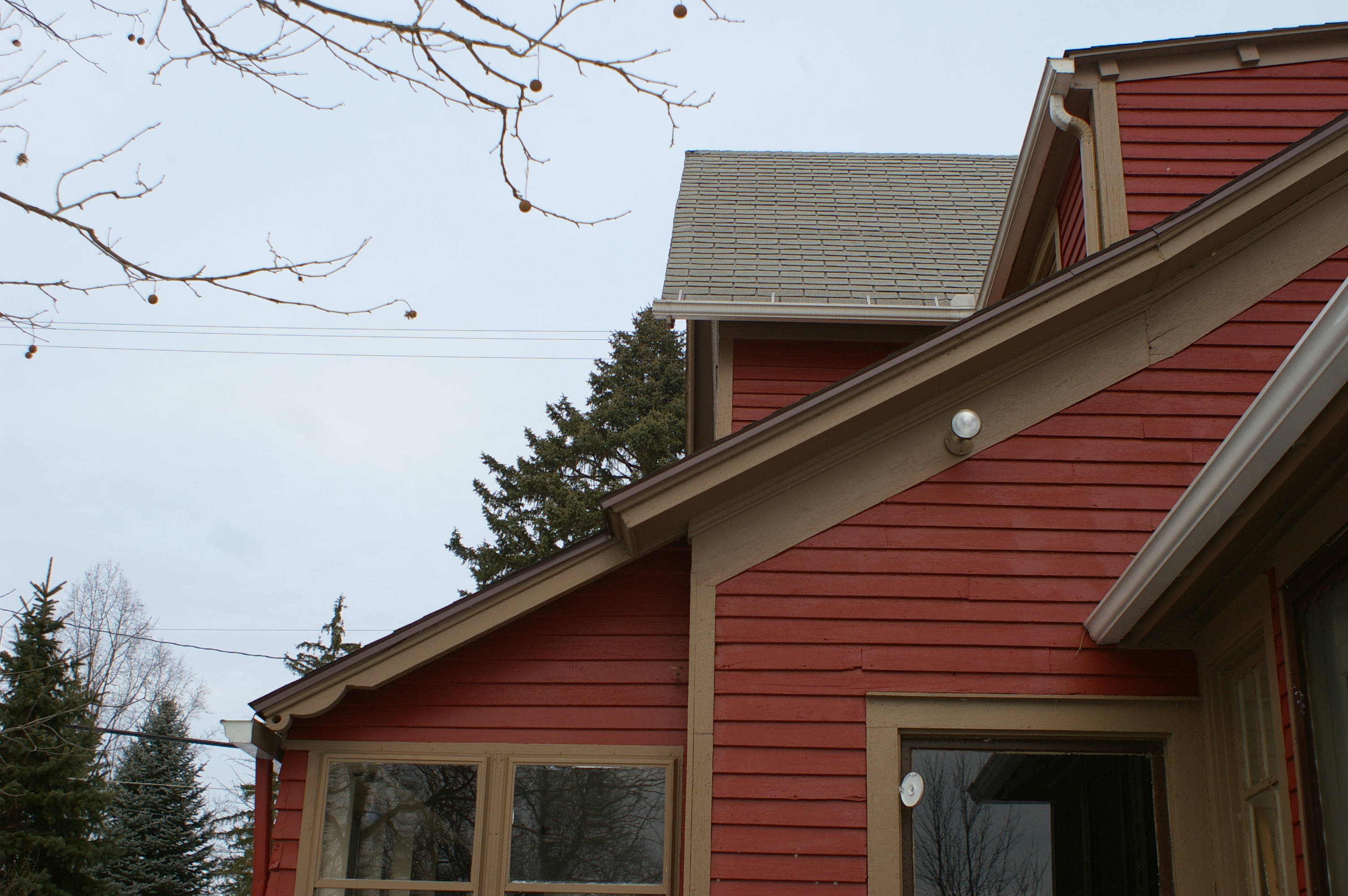
View from the driveway

Light Poured Like Honey ....
tanker 15 rear view

Bill's Hybrids...

Field of dreams...
Side view

Christmas colors
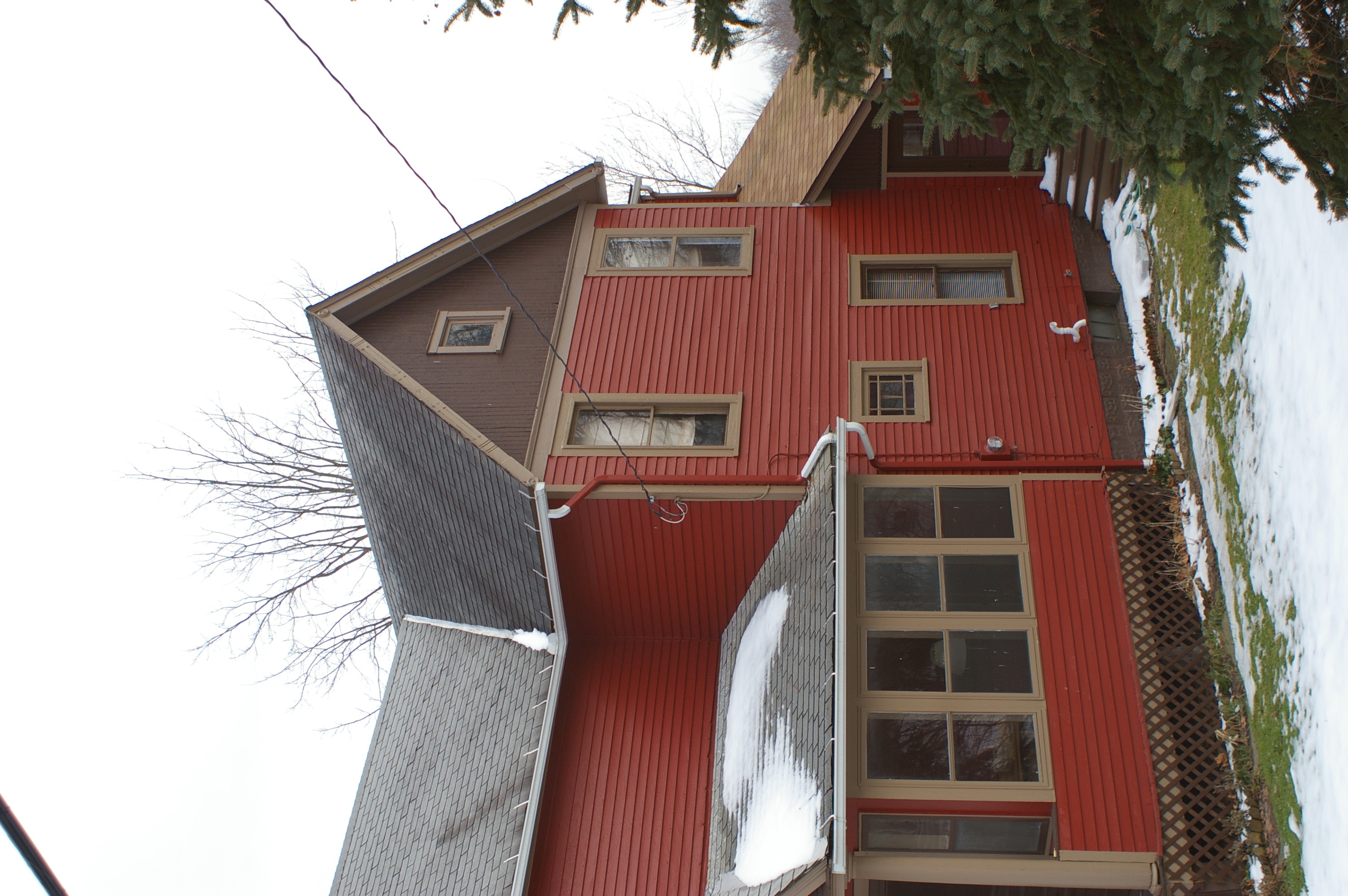
House, back view
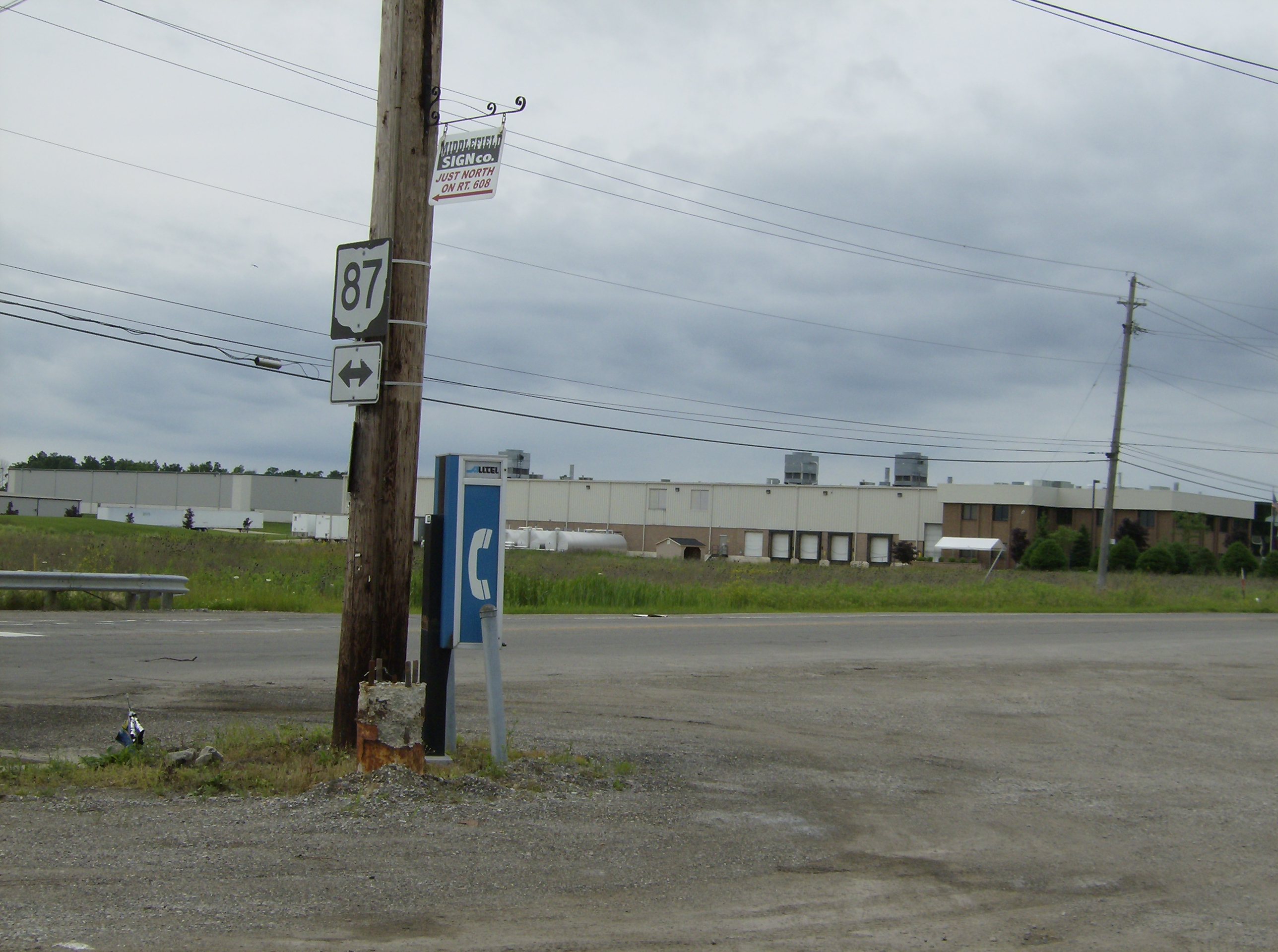
View Towards Rt 87

Bird's Eye View
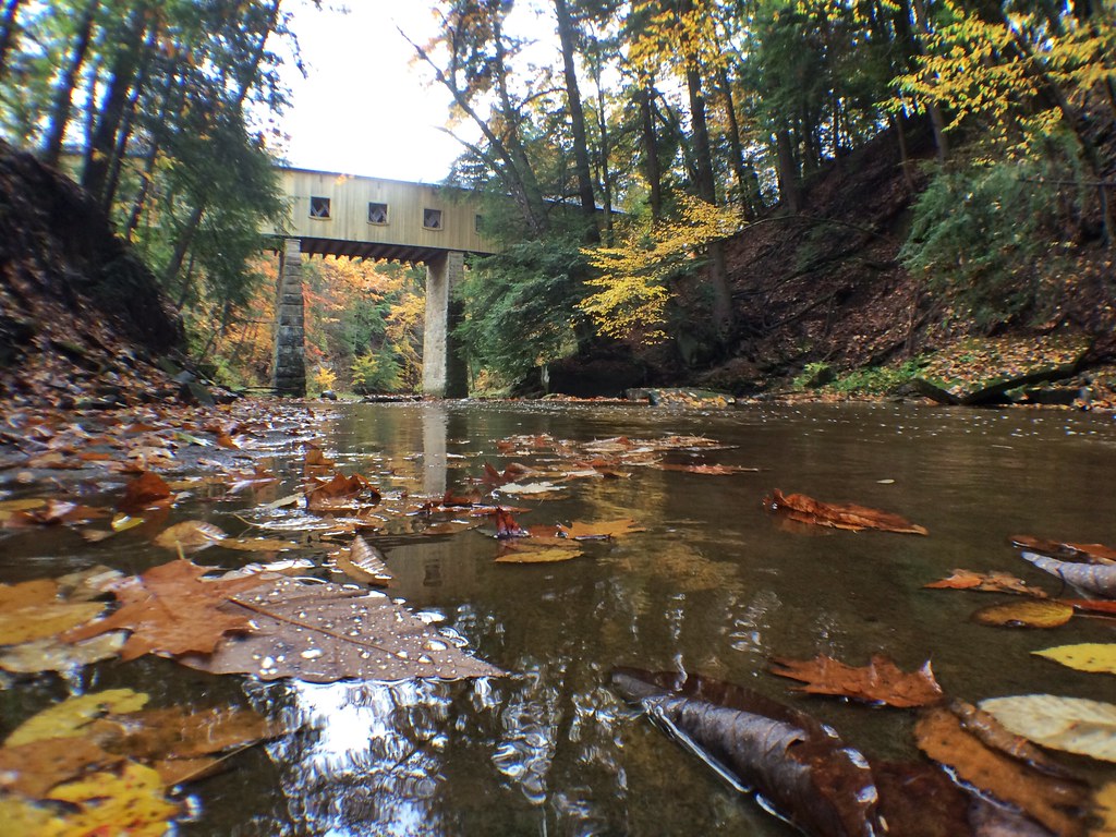
Windsor Mills Bridge
Reservoir, dog
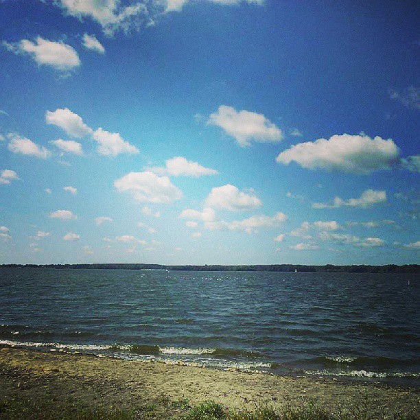
Open Spaces

Windsor Mills Covered Bridge - Ashtabula County, Ohio.

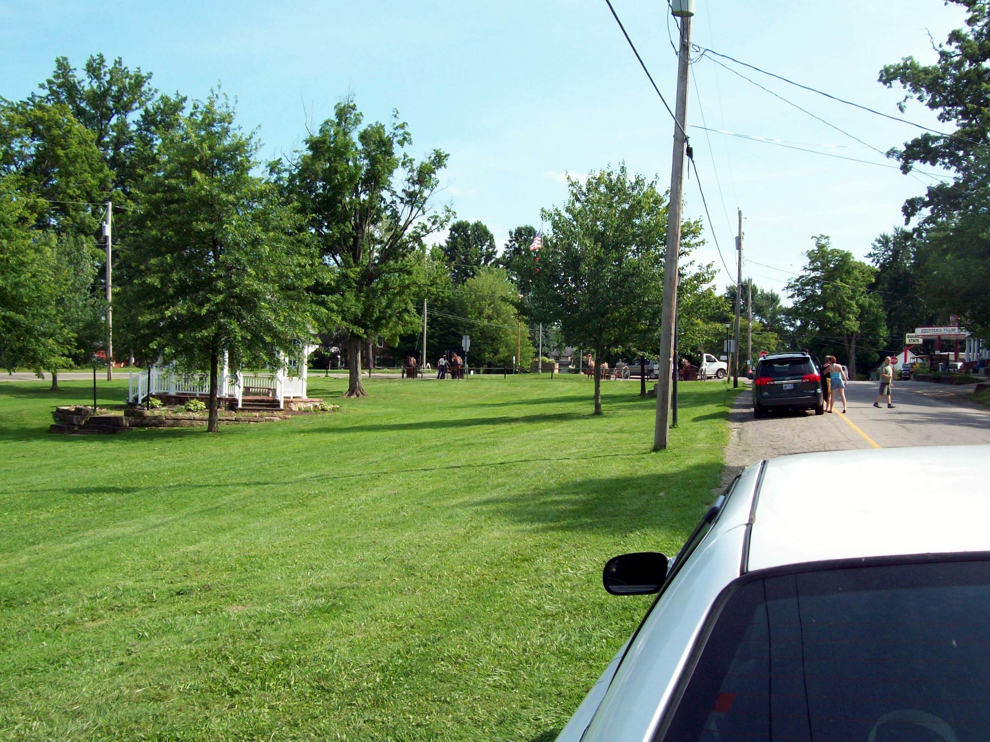
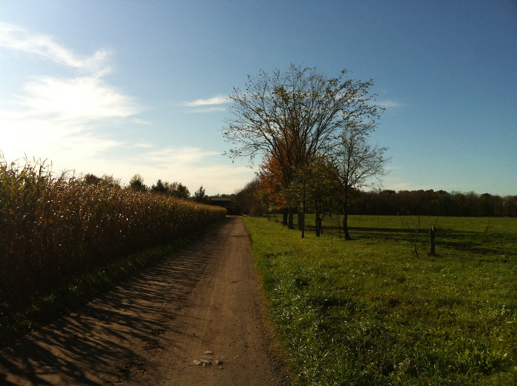
Amish Country
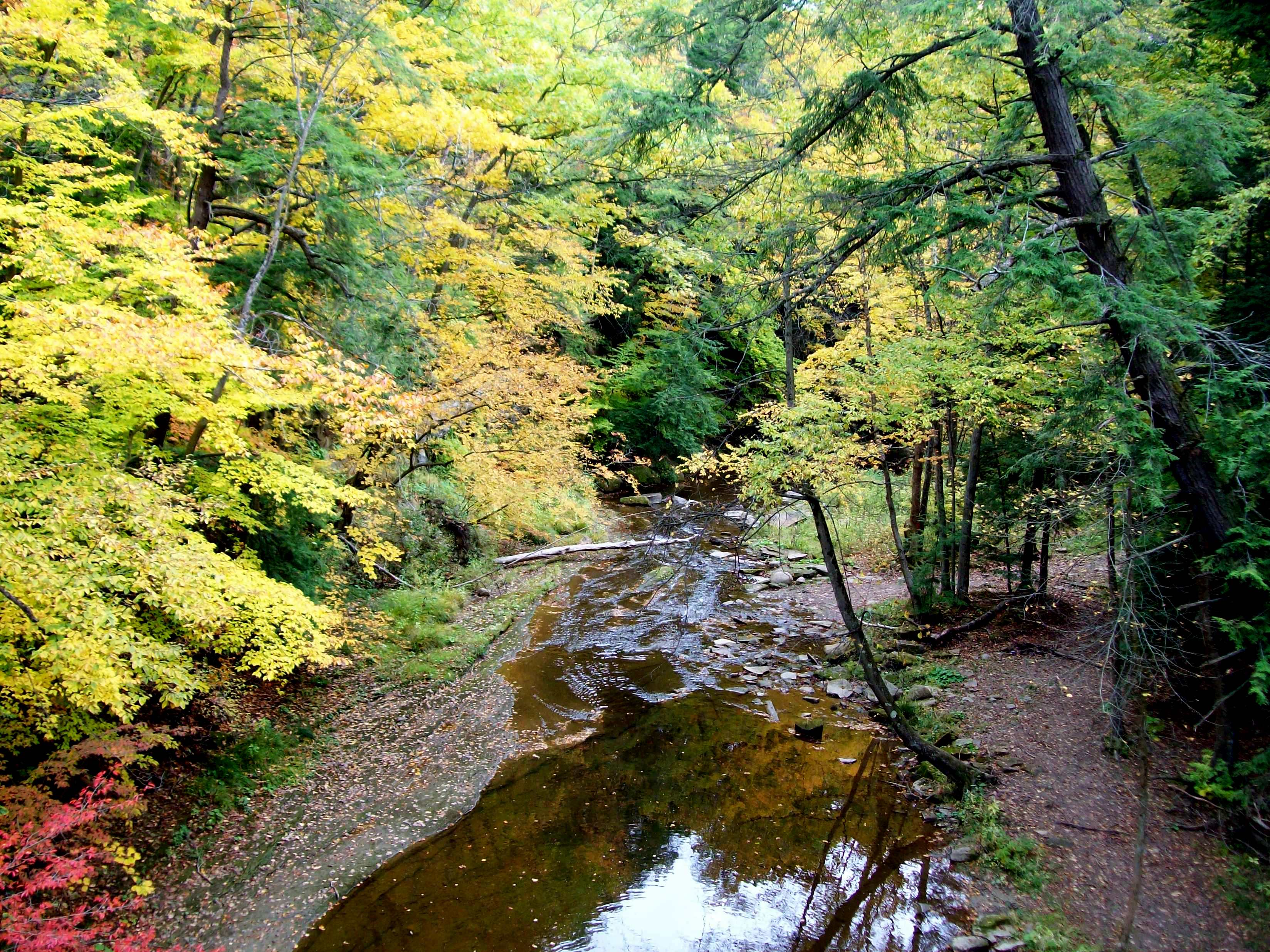
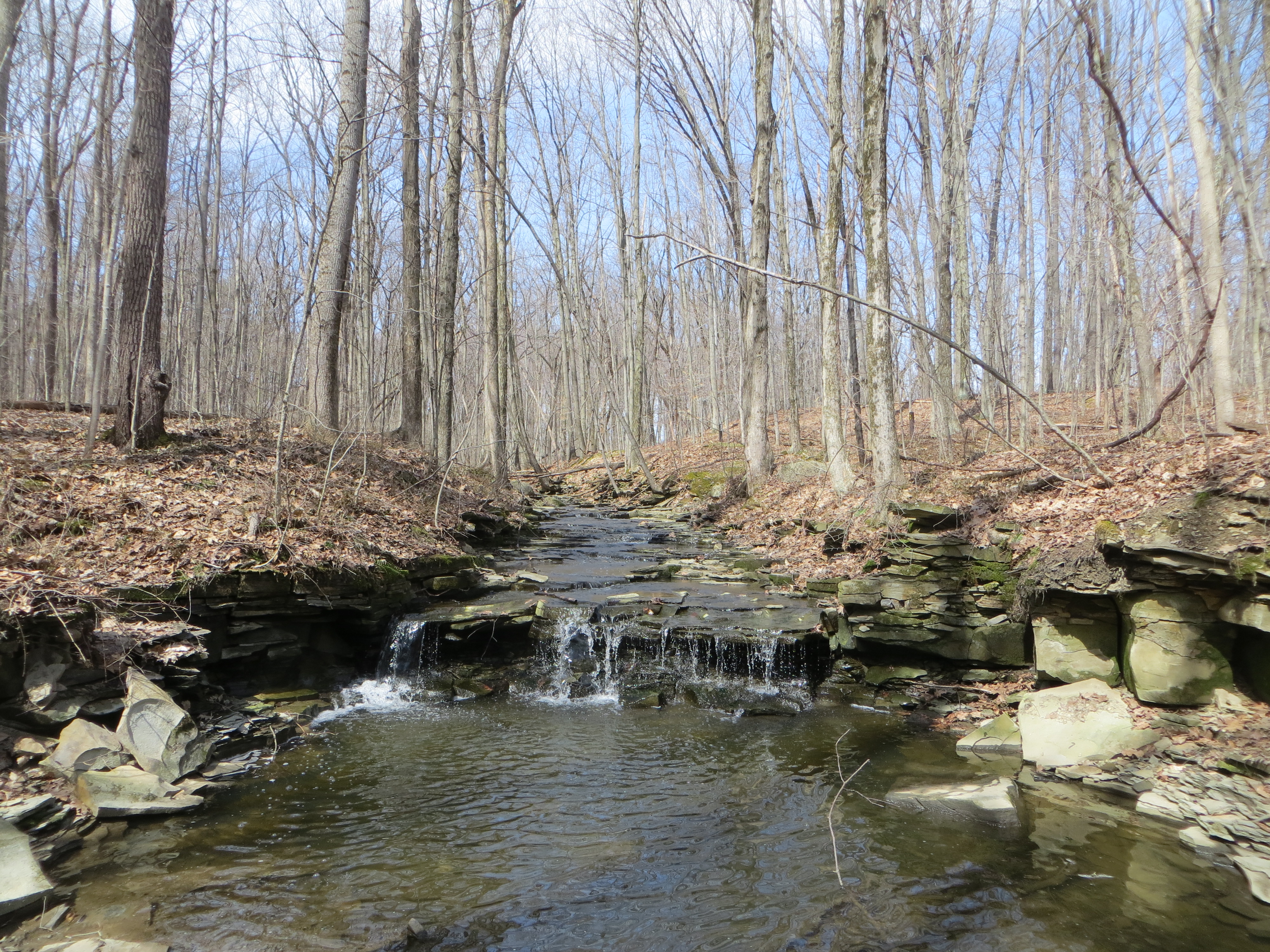
Phelps Creek
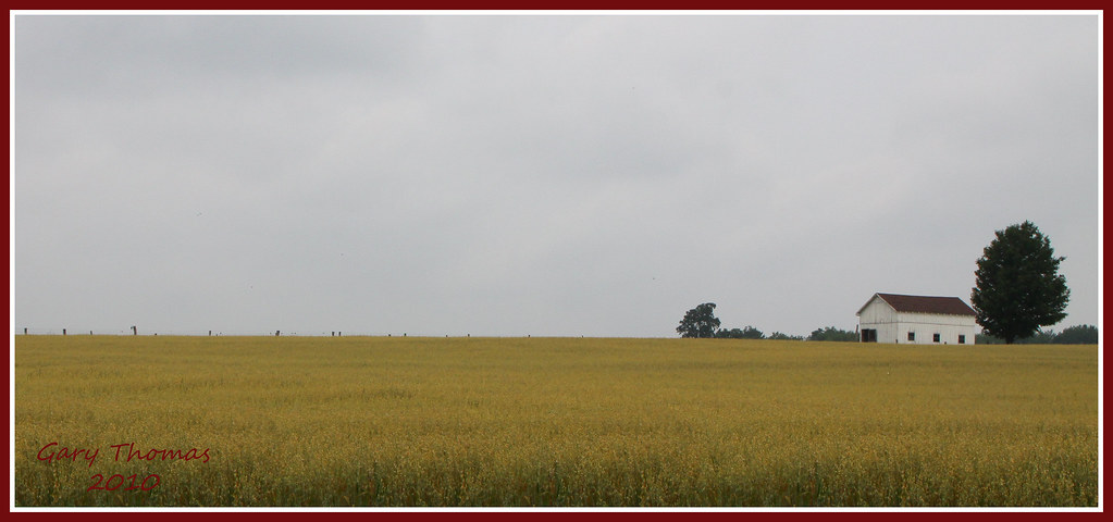
norman's corn
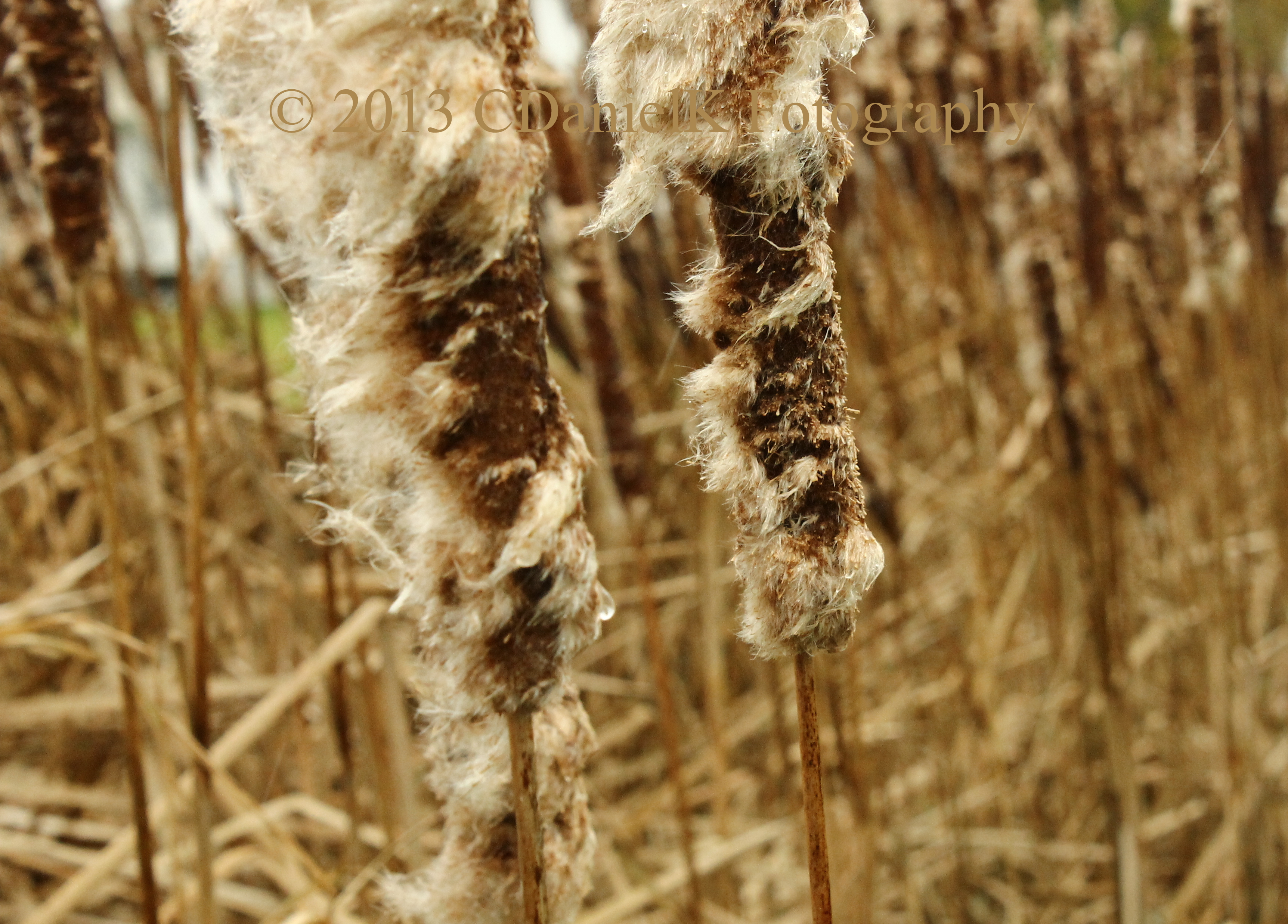
Windburned Cattails
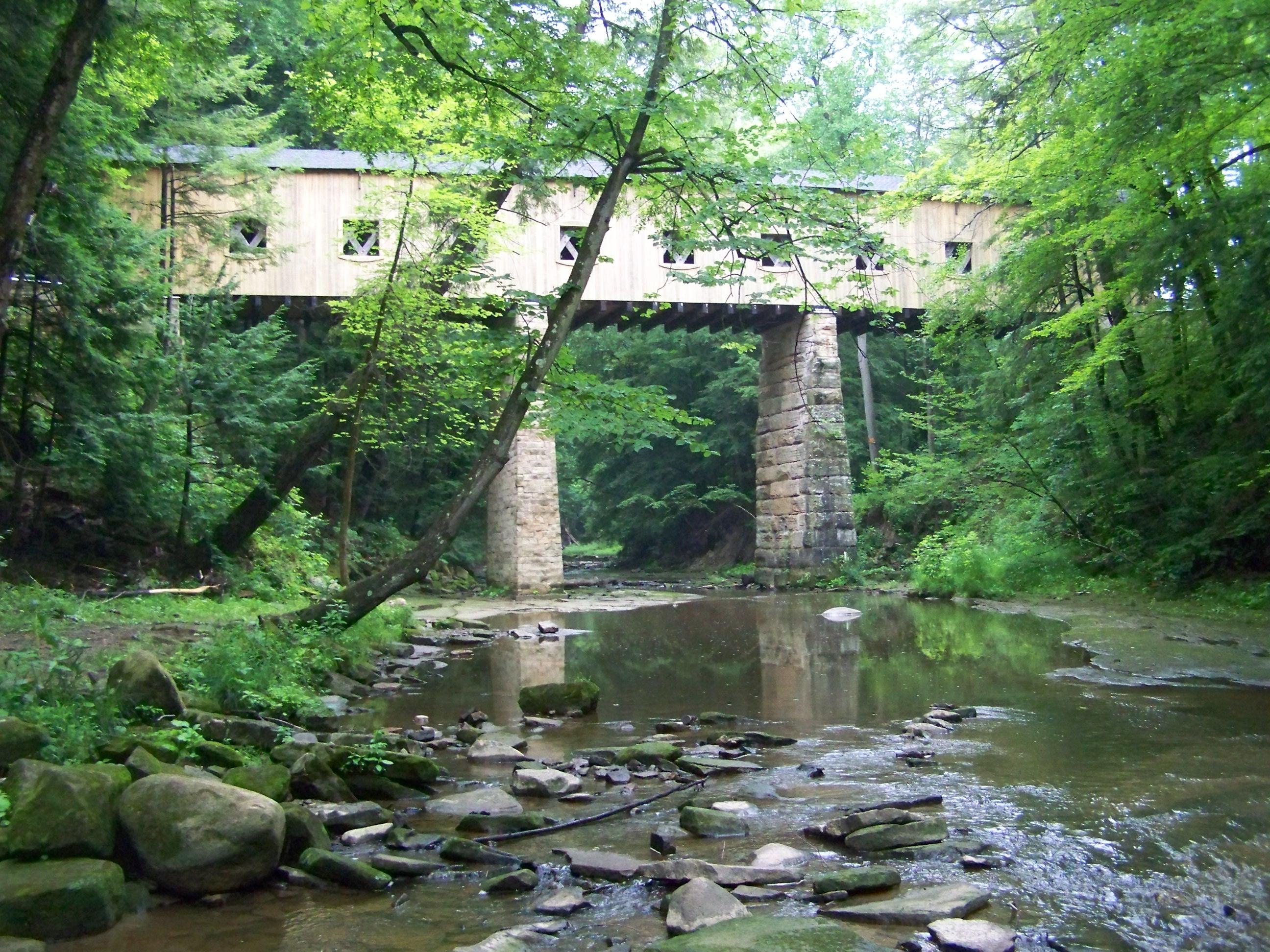
Wiswell Road Covered Bridge- Windsor Mills OH (2)

Autumn Comes To Phelps Creek
Swine Creek Reservation
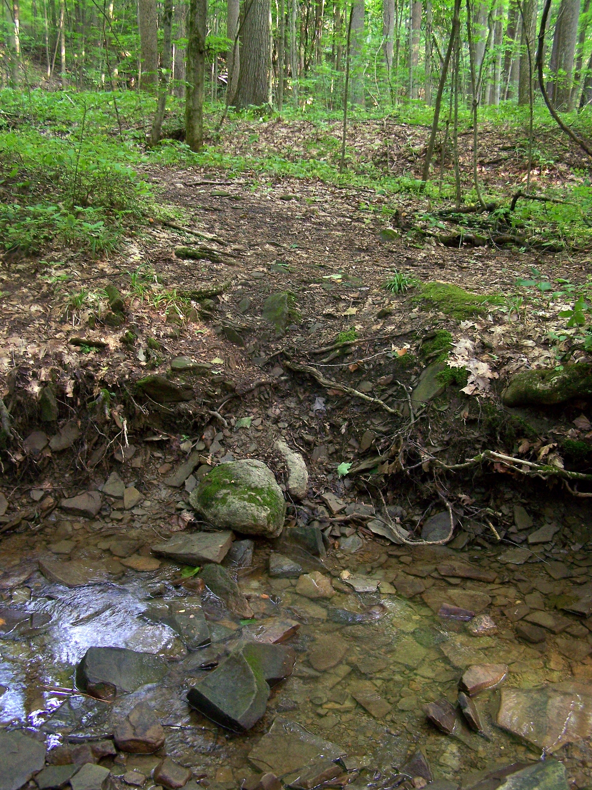
Creek crossing
Last Call
Topographic Map of Bloomfield Township, OH, USA
Find elevation by address:

Places in Bloomfield Township, OH, USA:
Places near Bloomfield Township, OH, USA:
North Bloomfield
1999 Hyde Oakfield Rd Nw
6407 Oh-45
Bristolville
OH-87, Farmdale, OH, USA
OH-88, Bristolville, OH, USA
Bristol Township
Farmington Township
West Farmington
6880 Oak Hill Dr
County Line Rd, Southington, OH, USA
Parkman Township
W High St, Middlefield, OH, USA
16434 Main Market Rd
Norton, Burton, OH, USA
Nelson Township
E Park St, Burton, OH, USA
Burton
Troy Township
6580 Winchell Rd
Recent Searches:
- Elevation of Homestead Ridge, New Braunfels, TX, USA
- Elevation of Orchard Road, Orchard Rd, Marlborough, NY, USA
- Elevation of 12 Hutchinson Woods Dr, Fletcher, NC, USA
- Elevation of Holloway Ave, San Francisco, CA, USA
- Elevation of Norfolk, NY, USA
- Elevation of - San Marcos Pass Rd, Santa Barbara, CA, USA
- Elevation of th Pl SE, Issaquah, WA, USA
- Elevation of 82- D Rd, Captain Cook, HI, USA
- Elevation of Harlow CM20 2PR, UK
- Elevation of Shenyang Agricultural University, Dong Ling Lu, Shen He Qu, Shen Yang Shi, Liao Ning Sheng, China