Elevation of Blandford, MA, USA
Location: United States > Massachusetts > Hampden County >
Longitude: -72.927322
Latitude: 42.1806463
Elevation: 437m / 1434feet
Barometric Pressure: 96KPa
Elevation Map:
Satellite Map:
Related Photos:
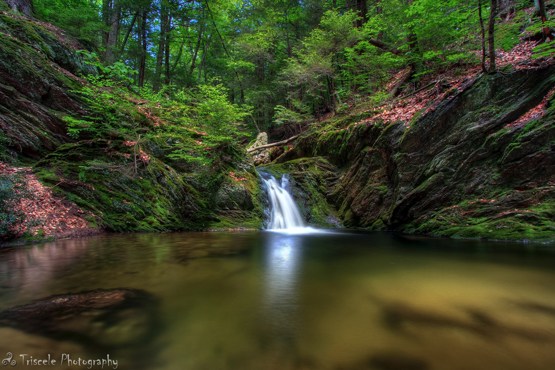
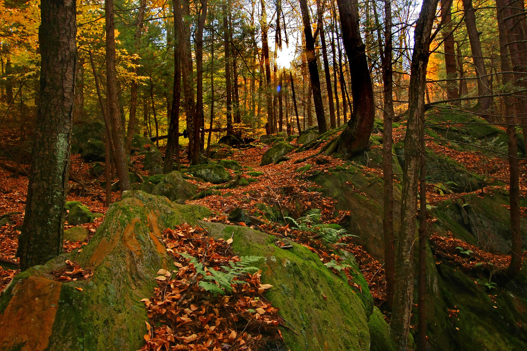
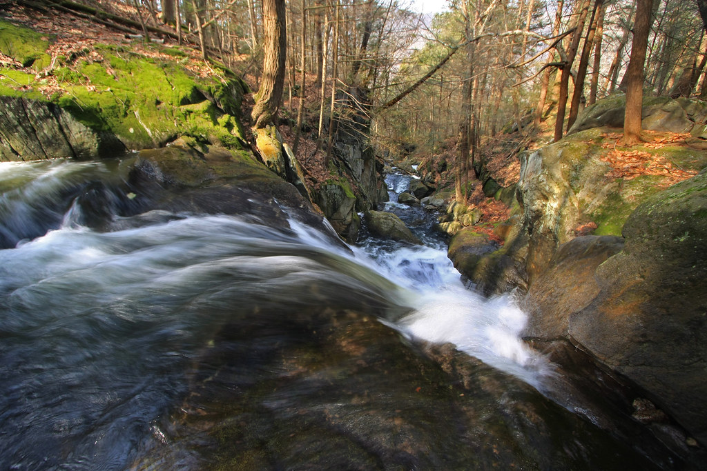
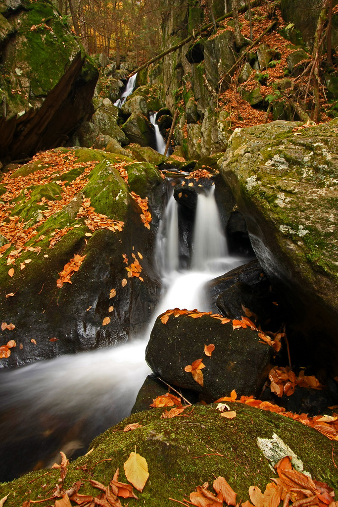
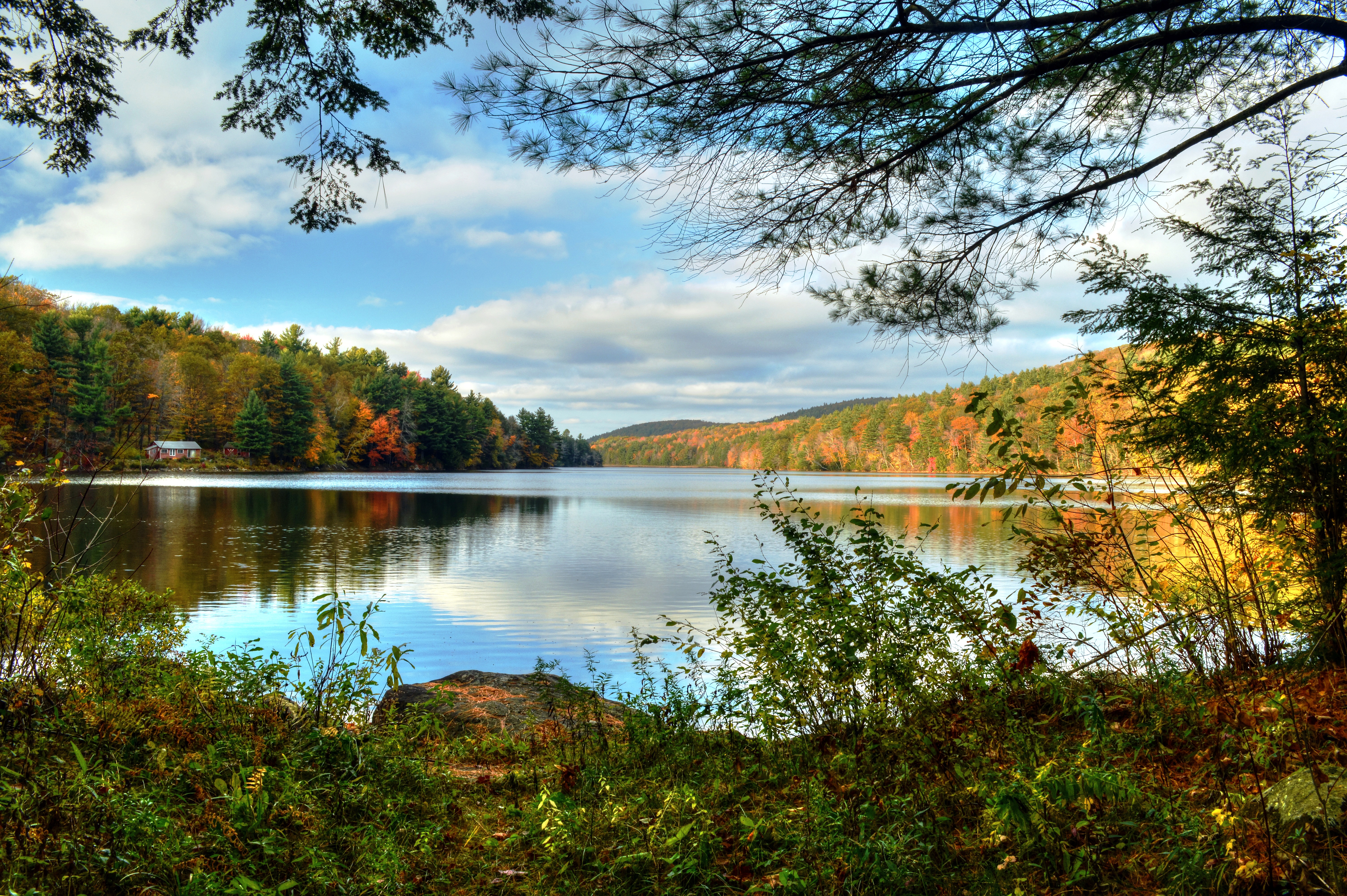
Little Pitcher Falls

Leaf Me Alone
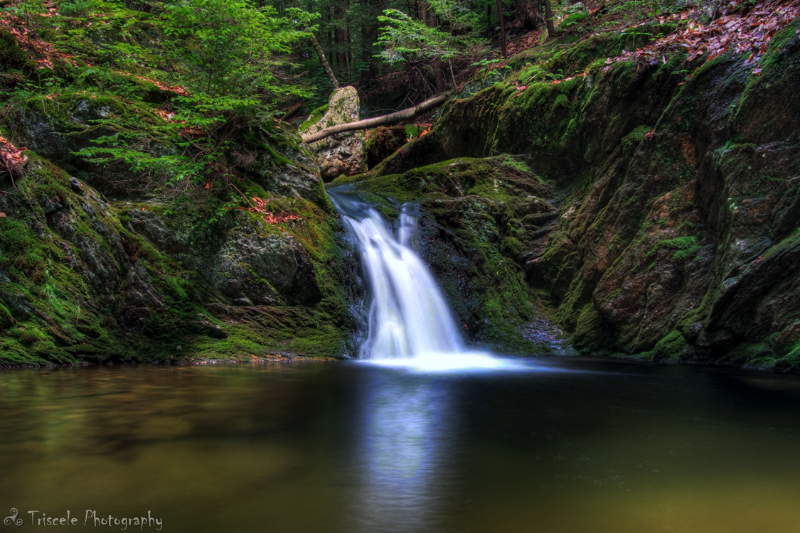
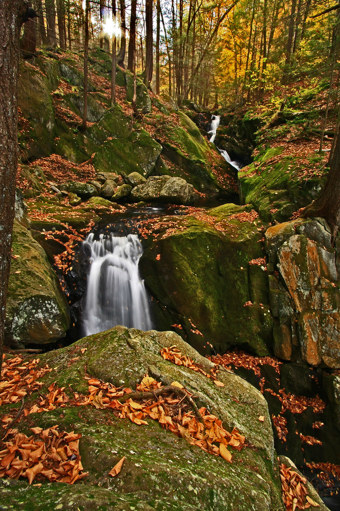
Little Pitcher Falls Part 2
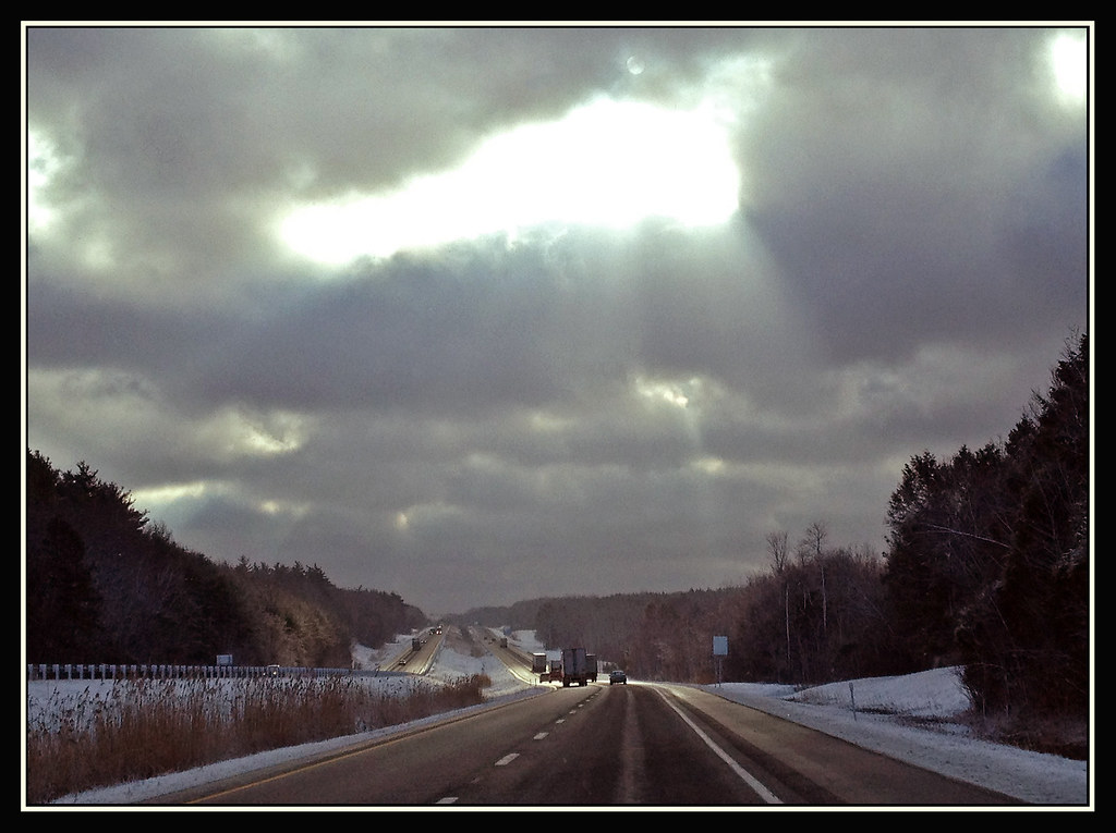
Struck By Heaven's Light
Woodland Pool
Climb toward the Sun

Great River Bridge Project - Westfield, Massachusetts
The Point of No Return

Spring Runoff
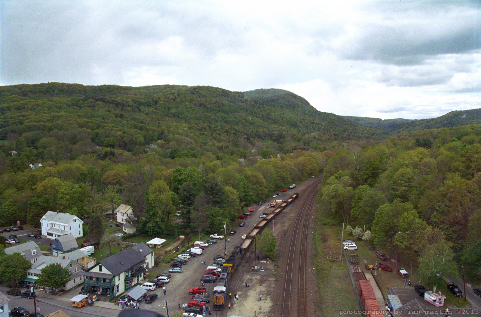
Aerial View
Find Your Way
Tumble, Tumble
Let the Sun Shine Through

Great River Bridge Project - Westfield, Massachusetts

New Photo Platform
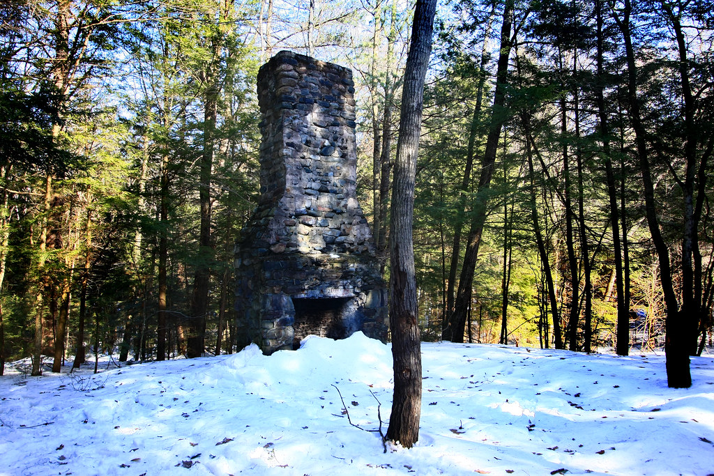
All that Remains

Let there be Clouds
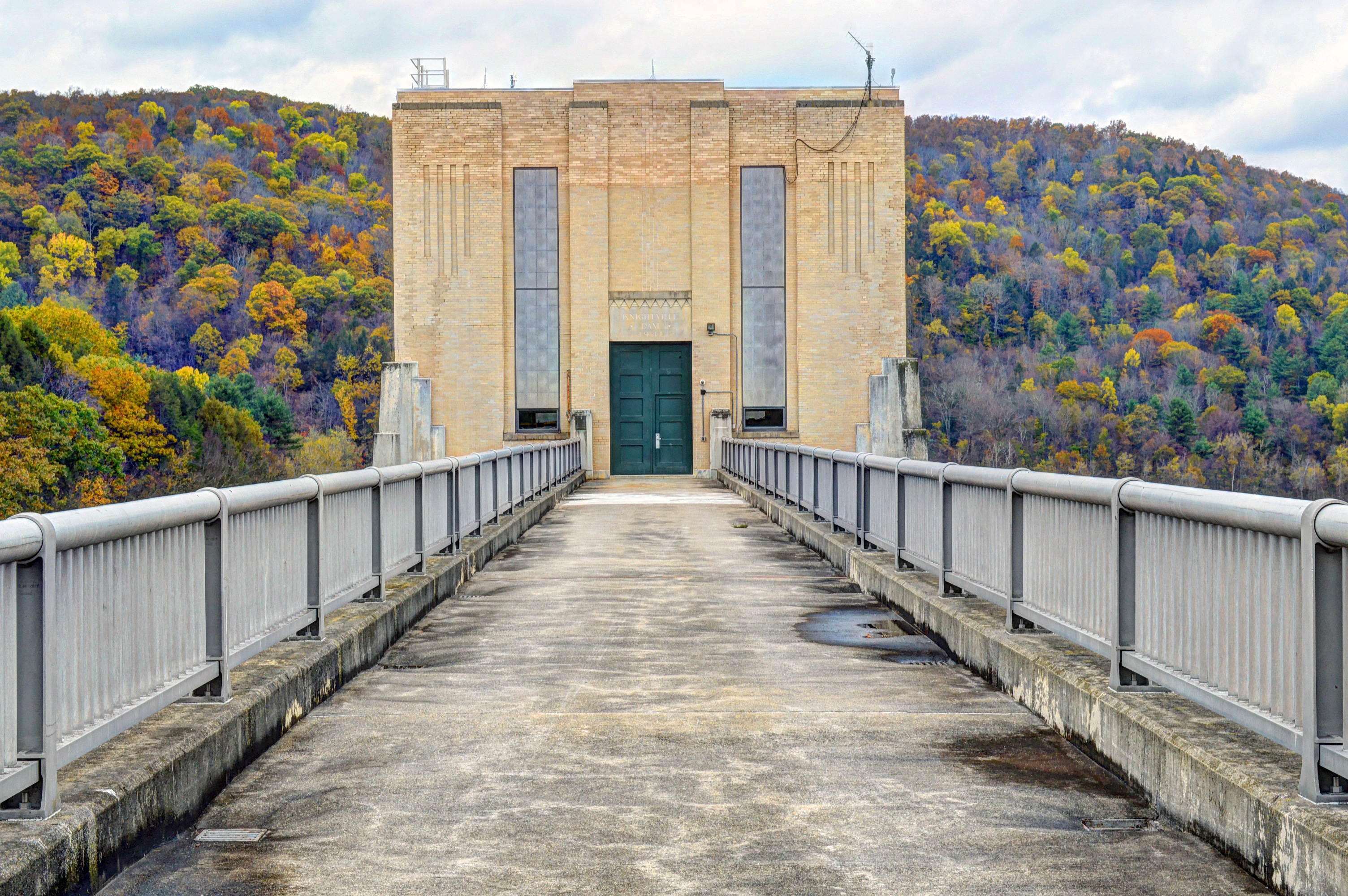
Knightville Dam
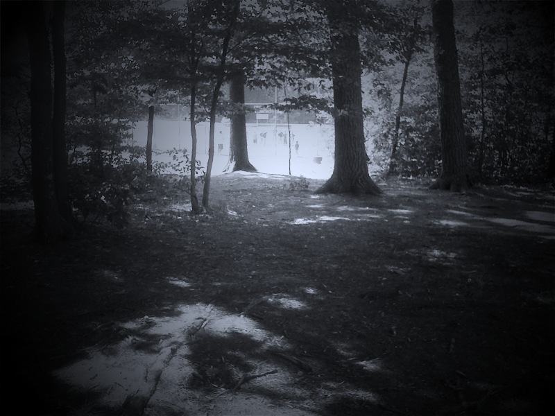
Baseball game thru the trees
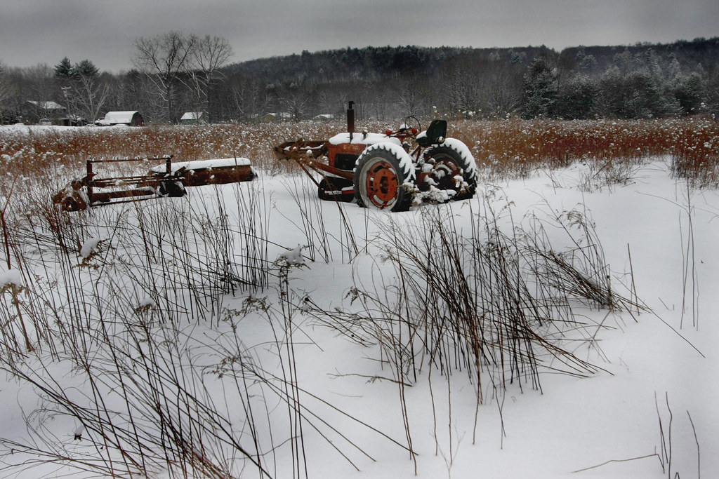
The Harsh Reality of Winter
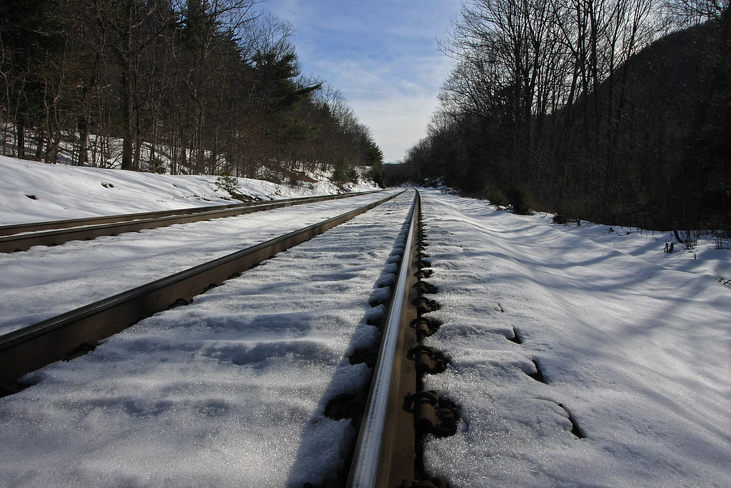
Tracks in the Snow
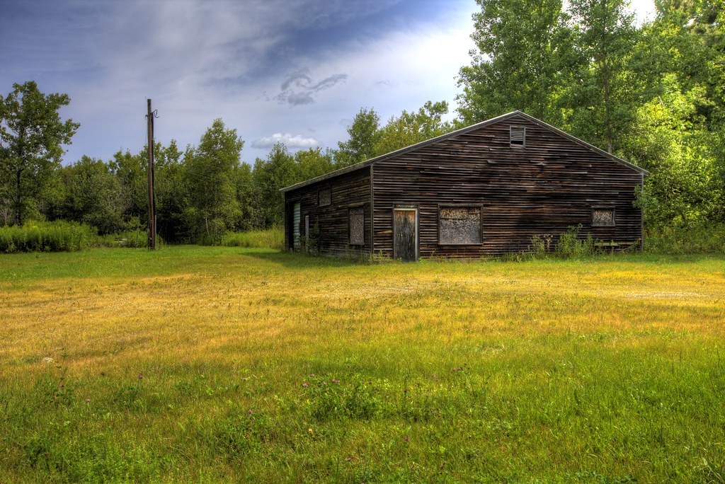
Office No More

Ore Hill Trail

West Parish Orchard
Lower Spectacle Pond
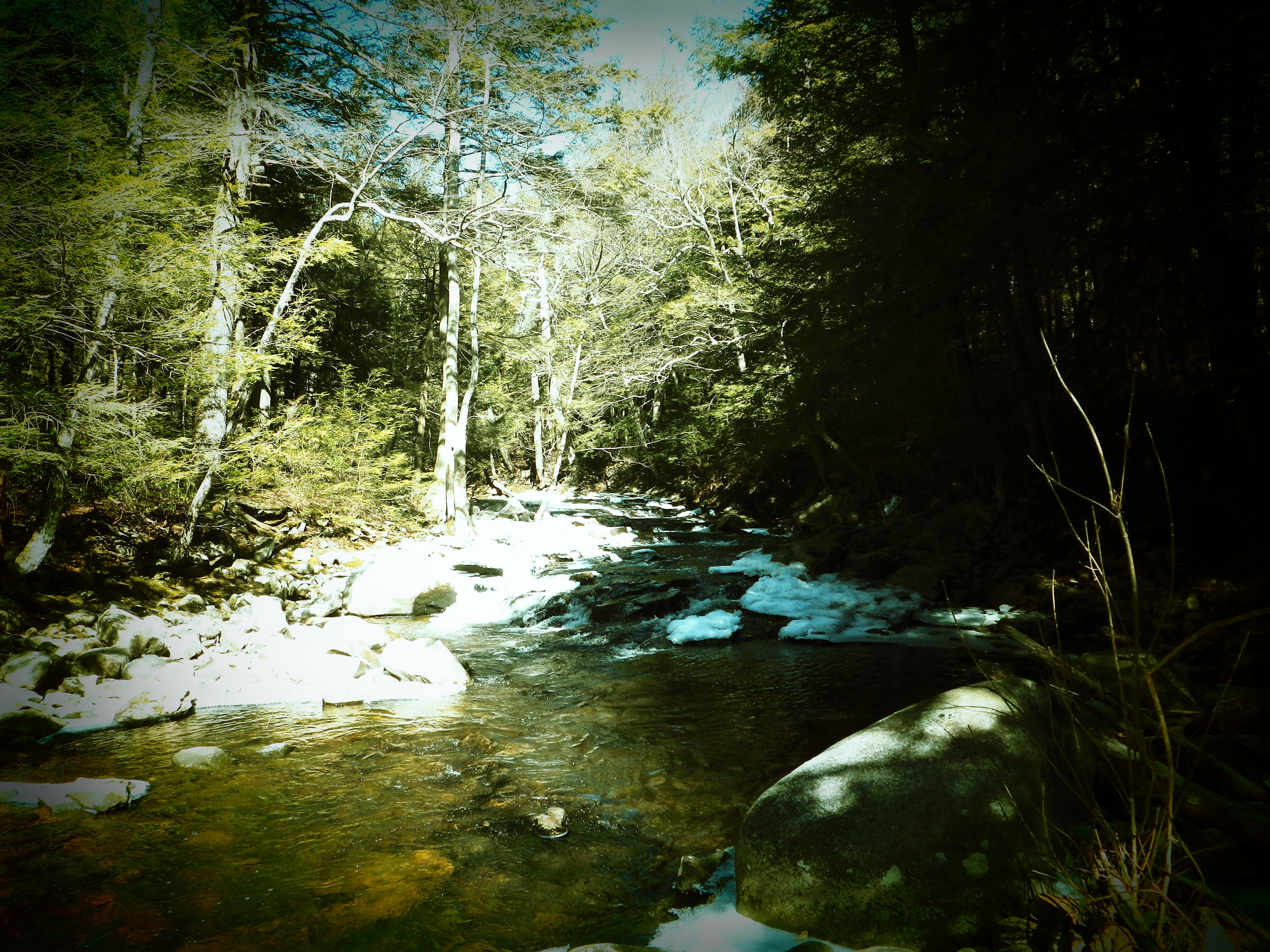
Hubbard River
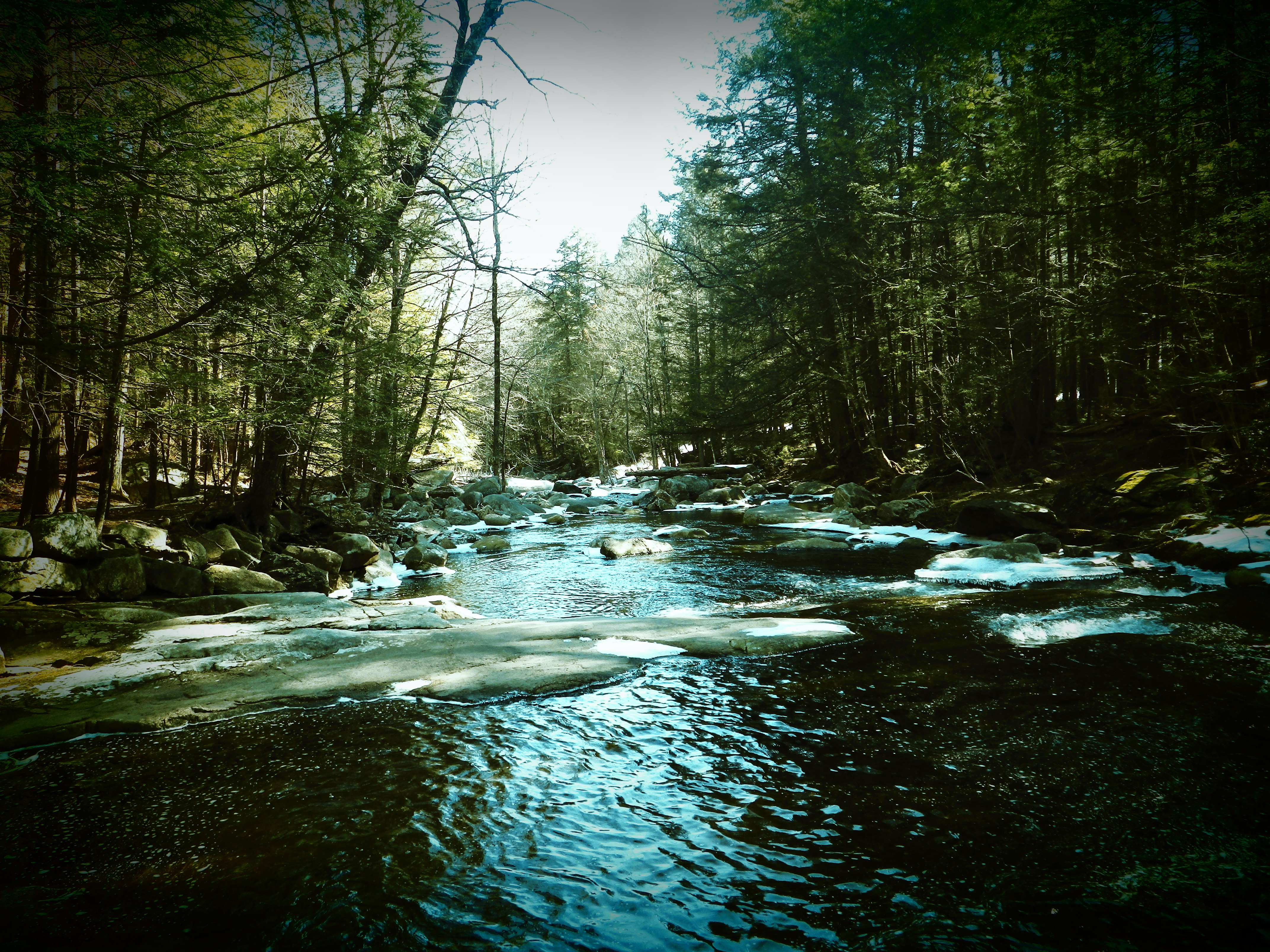
Hubbard River

DSC_0932 - Version 2

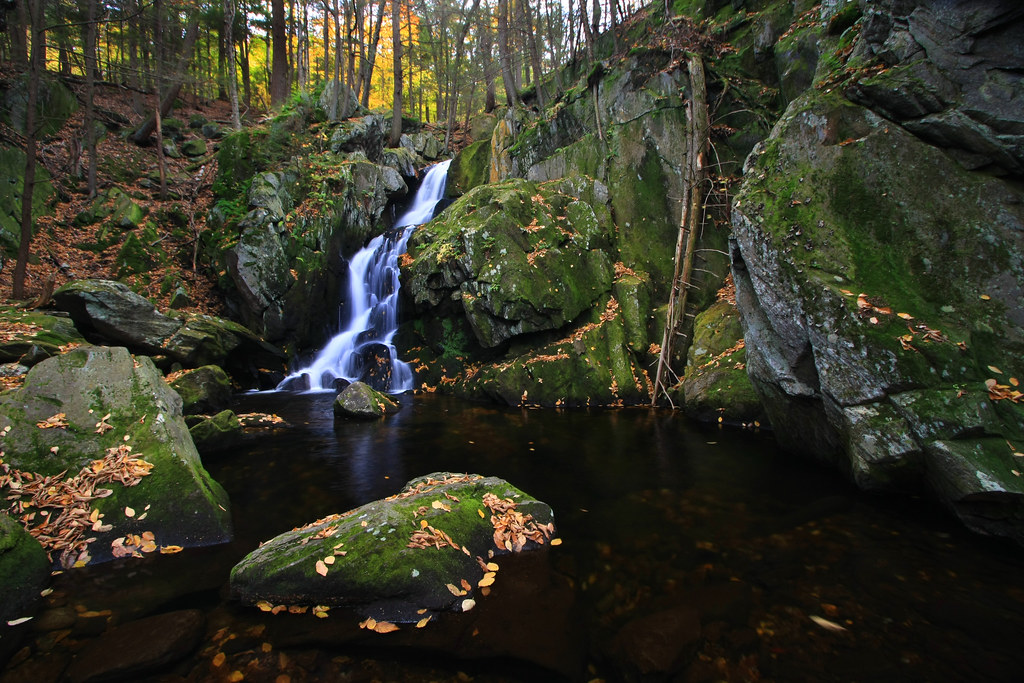
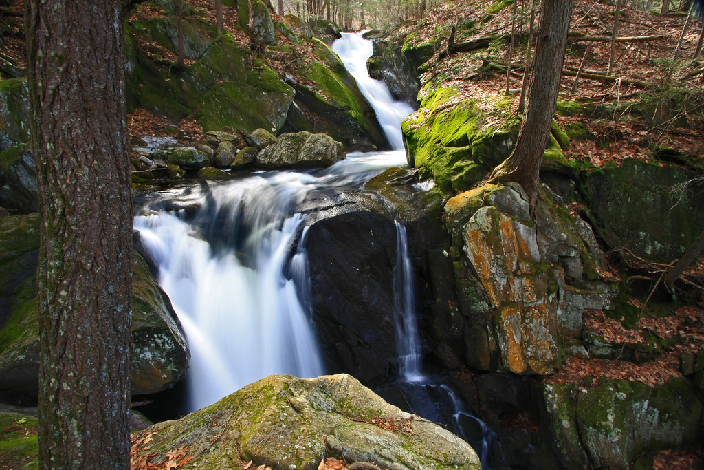
Goldmine Brook Falls - Chester, MA
Hubbard River

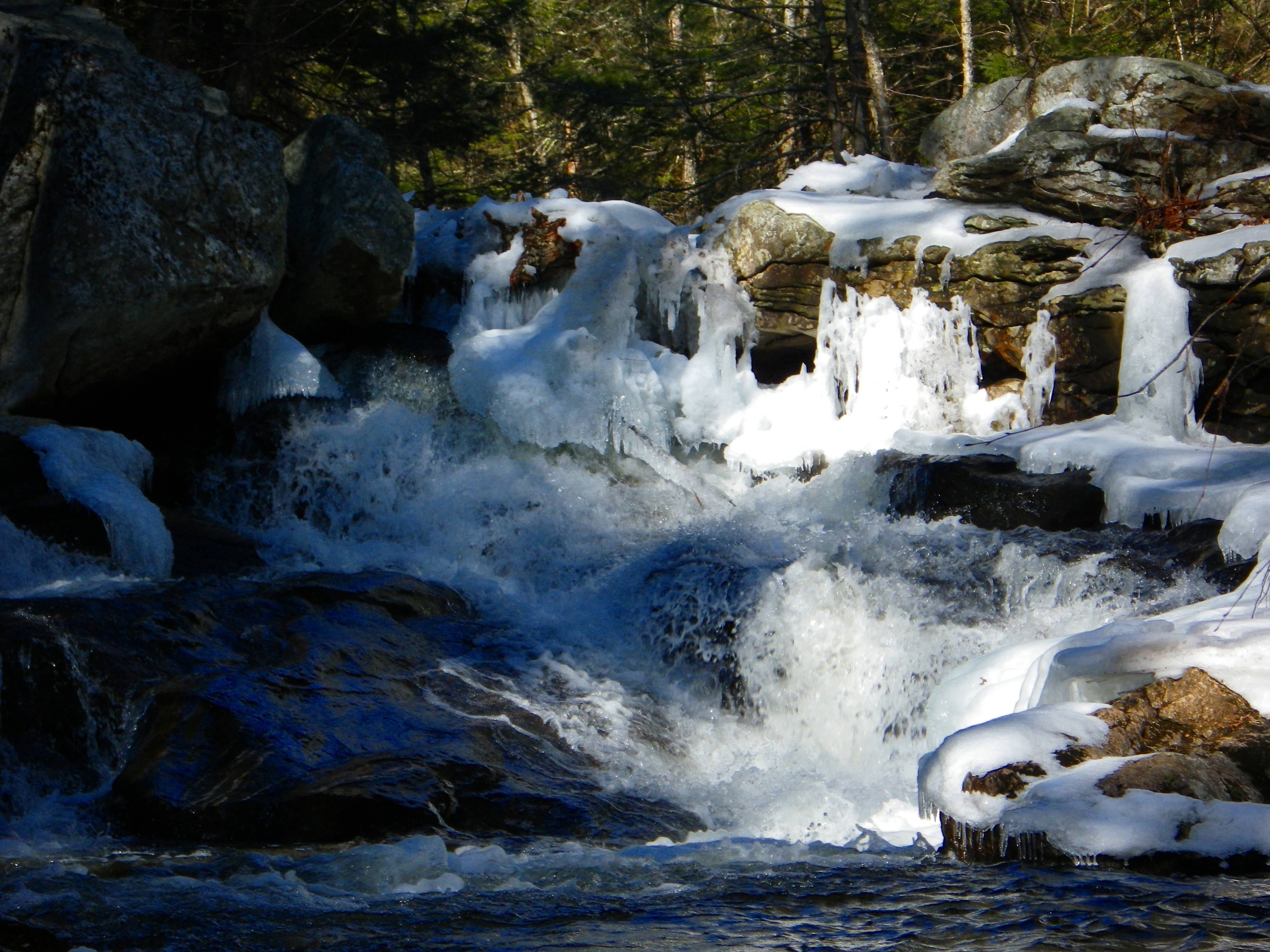
Still Frozen!!!

EOS 40D_2650

DSC00331.JPG

DSC00334.JPG

DSC00324.JPG

That is one full bodied pig

EOS 40D_2638

DSC00327.JPG

The going gets steep.
Topographic Map of Blandford, MA, USA
Find elevation by address:

Places in Blandford, MA, USA:
Places near Blandford, MA, USA:
Glasgow Road
Blandford Club
54 Woronoco Rd
170 Otis Stage Rd
Cobble Mountain Road
557 Dickinson Hill Rd
4 Beech Hill Rd
Granville
296 Beech Hill Rd
64 Beech Hill Rd
1349 Main Rd
Massachusetts 57
1653 Main Rd
Reagan Road
111 S Lake Ave
1000 Main Rd
970 Main Rd
20 Moreau Rd, Blandford, MA, USA
173 Hartland Hollow Rd
223 Bates Rd
Recent Searches:
- Elevation of Corso Fratelli Cairoli, 35, Macerata MC, Italy
- Elevation of Tallevast Rd, Sarasota, FL, USA
- Elevation of 4th St E, Sonoma, CA, USA
- Elevation of Black Hollow Rd, Pennsdale, PA, USA
- Elevation of Oakland Ave, Williamsport, PA, USA
- Elevation of Pedrógão Grande, Portugal
- Elevation of Klee Dr, Martinsburg, WV, USA
- Elevation of Via Roma, Pieranica CR, Italy
- Elevation of Tavkvetili Mountain, Georgia
- Elevation of Hartfords Bluff Cir, Mt Pleasant, SC, USA