Elevation of Blake Hill Rd, Van Etten, NY, USA
Location: United States > New York > Chemung County > Van Etten > Van Etten >
Longitude: -76.574018
Latitude: 42.232251
Elevation: 521m / 1709feet
Barometric Pressure: 95KPa
Elevation Map:
Satellite Map:
Related Photos:
en el BoSque

Olive-sided Flycatcher (1st-Fall)

Jennings Pond

Sandhill Crane, Tioga Co.

Green Heron

Sandhill Crane - Michigan Hollow, Tioga County, NY - 3/9/15

Janna's View

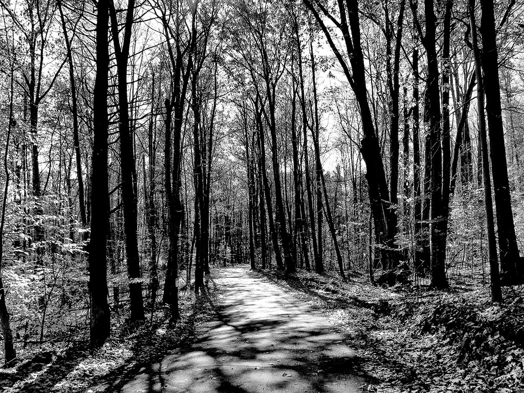
Route 13 Views-20110917-9315.jpg

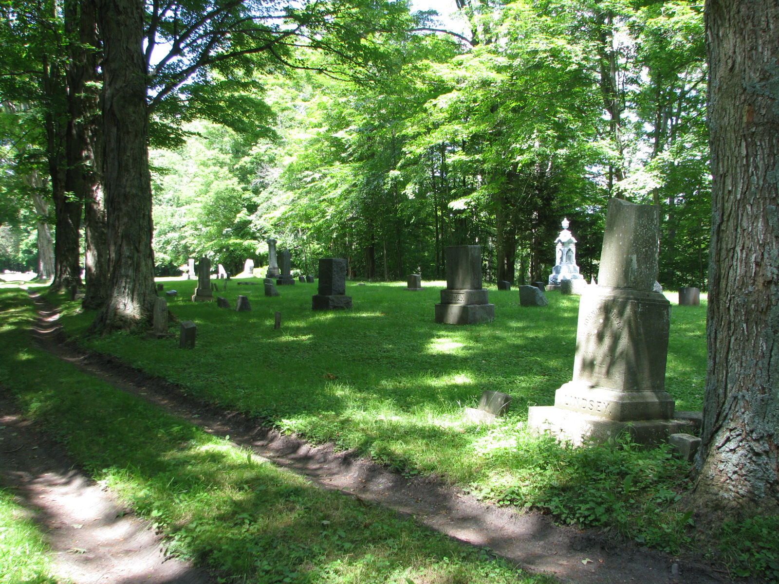
Breesport Baptist Cemetery (2)

Moonlit MINI - 2

Newfield Stream-1398

WAHX 4248

Taylor, Olive

Sun streak

Evening over the valley

Winter morning sun pillar

A Bench Sits Beside A Lone Pine on a Hill
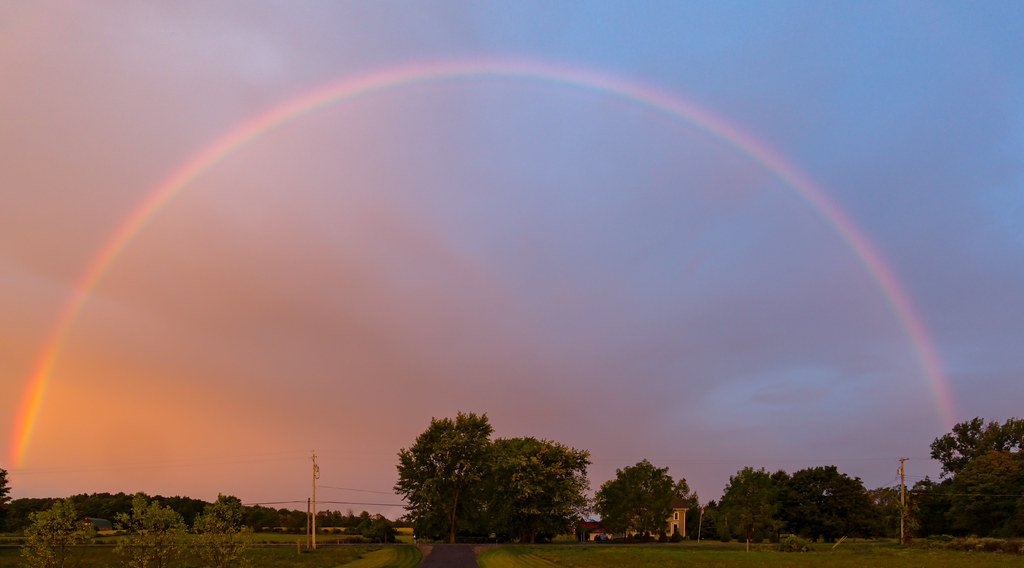
Morning rainbow

Hidden - Candor, New York

Morning rainbow

00470 New York_0114

Fall at Toad Hill Farm

Nigel Dyson-Hudson

Newfield in the Fall

Ithaca to Home_0004

Newfield in the Fall
Hilltop Cemetery
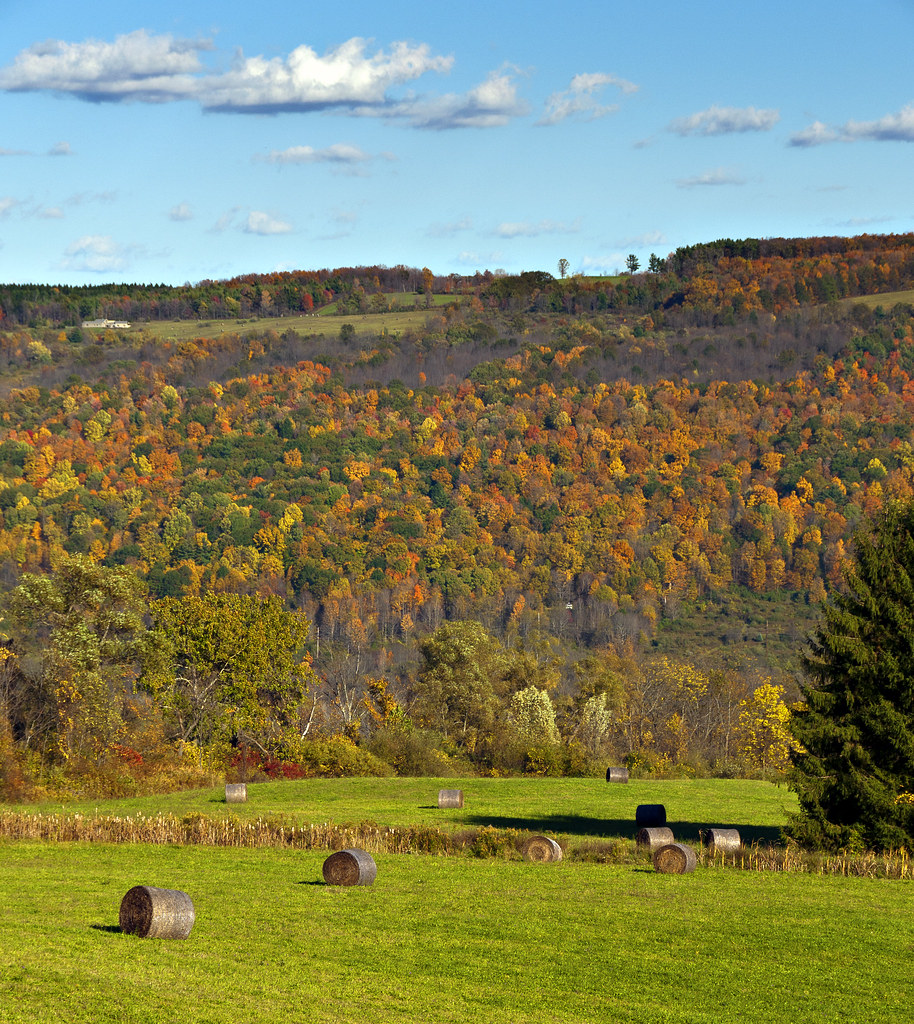
Newfield in the Fall

Jenning's Pond
Topographic Map of Blake Hill Rd, Van Etten, NY, USA
Find elevation by address:

Places near Blake Hill Rd, Van Etten, NY, USA:
Blake Hill Road
Langford Creek Road
427 Langford Creek Rd
Van Etten
3 Main St, Van Etten, NY, USA
Van Etten
1300 Shaffer Rd
Ithaca Road
15 W Tioga St, Spencer, NY, USA
234 Lake Rd
279 Fisher Settlement Rd
11 Maple Ave, Spencer, NY, USA
Spencer
562 Dawson Hill Rd
Newfield
378 Shaffer Rd
962 Dawson Hill Rd
124 Sebring Rd
Danby
79 Hart Rd
Recent Searches:
- Elevation of Elwyn Dr, Roanoke Rapids, NC, USA
- Elevation of Congressional Dr, Stevensville, MD, USA
- Elevation of Bellview Rd, McLean, VA, USA
- Elevation of Stage Island Rd, Chatham, MA, USA
- Elevation of Shibuya Scramble Crossing, 21 Udagawacho, Shibuya City, Tokyo -, Japan
- Elevation of Jadagoniai, Kaunas District Municipality, Lithuania
- Elevation of Pagonija rock, Kranto 7-oji g. 8"N, Kaunas, Lithuania
- Elevation of Co Rd 87, Jamestown, CO, USA
- Elevation of Tenjo, Cundinamarca, Colombia
- Elevation of Côte-des-Neiges, Montreal, QC H4A 3J6, Canada