Elevation map of Blagoevgrad Province, Bulgaria
Location: Bulgaria >
Longitude: 23.0943356
Latitude: 42.0208614
Elevation: 385m / 1263feet
Barometric Pressure: 97KPa
Elevation Map:
Satellite Map:
Related Photos:
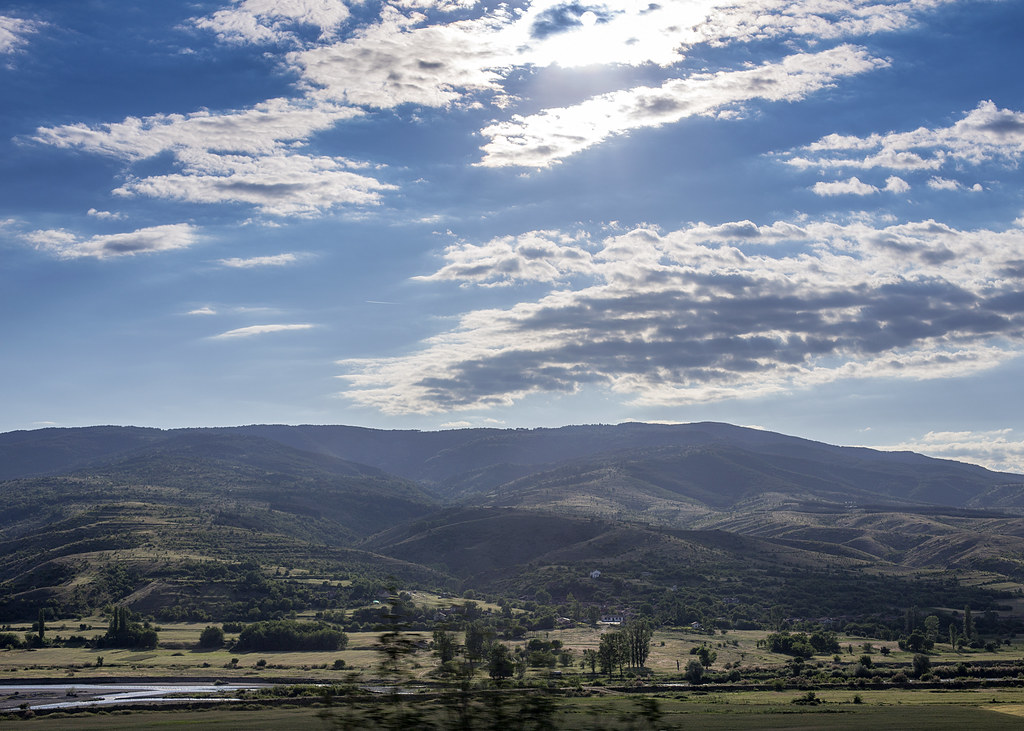
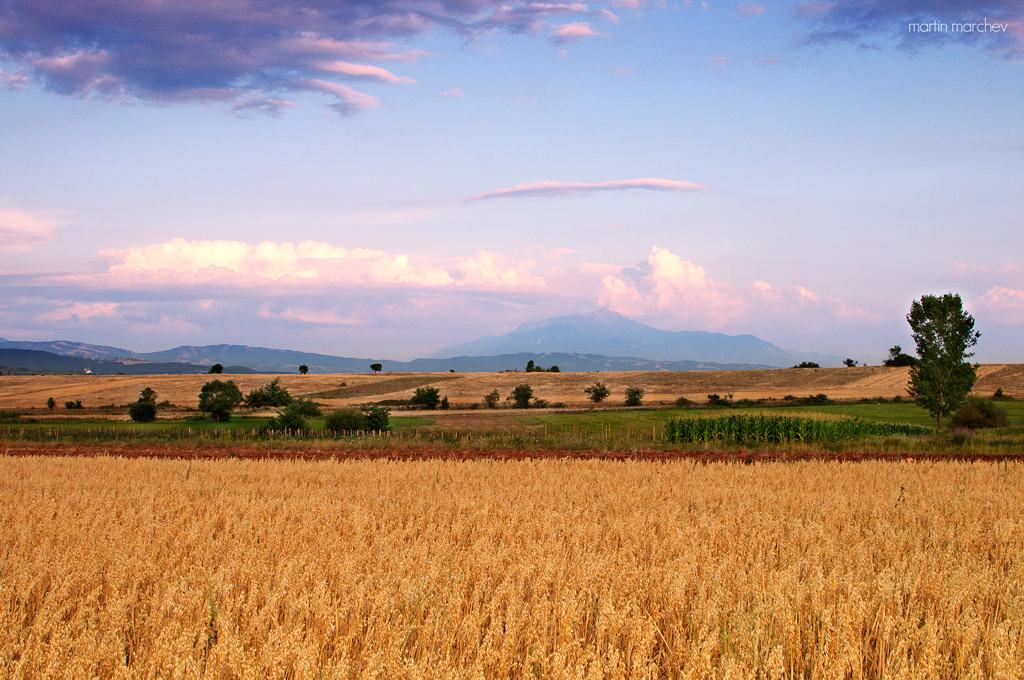
Rila Mountains
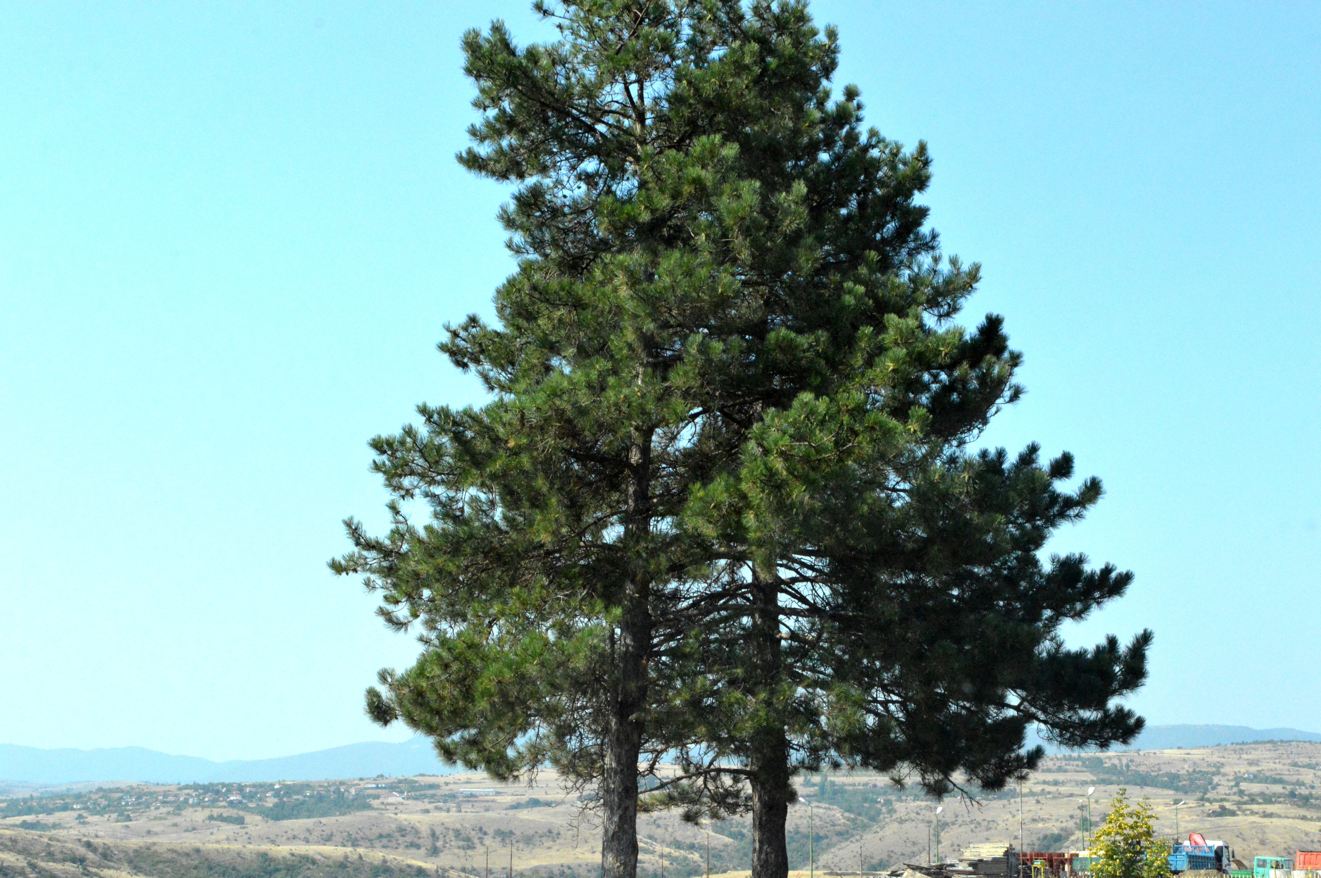
2015_Bulgária_4662
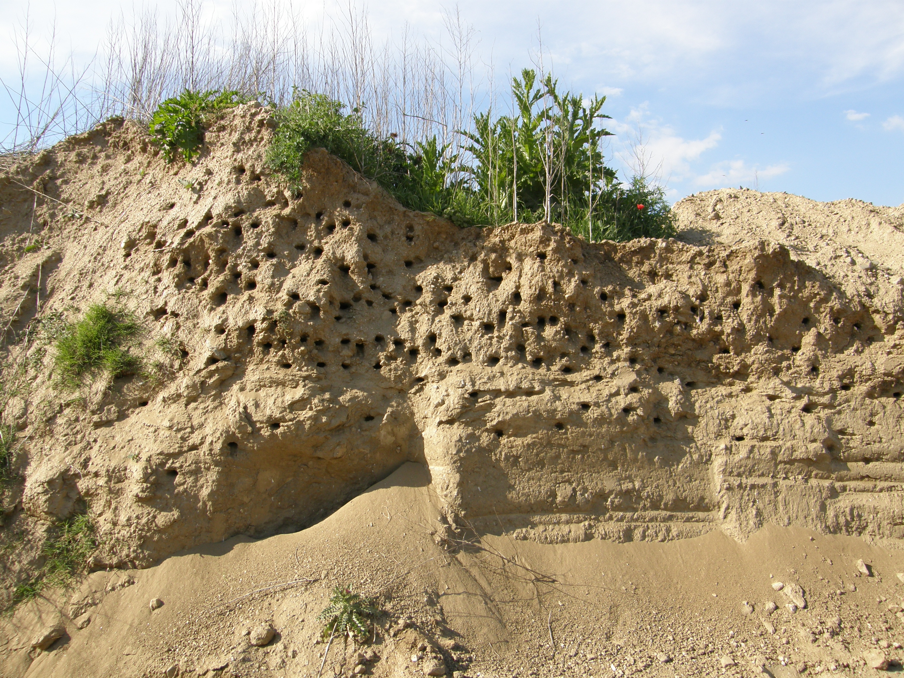
Swallows-nests
Βγήκαν τα γίδια από το μαντρί!
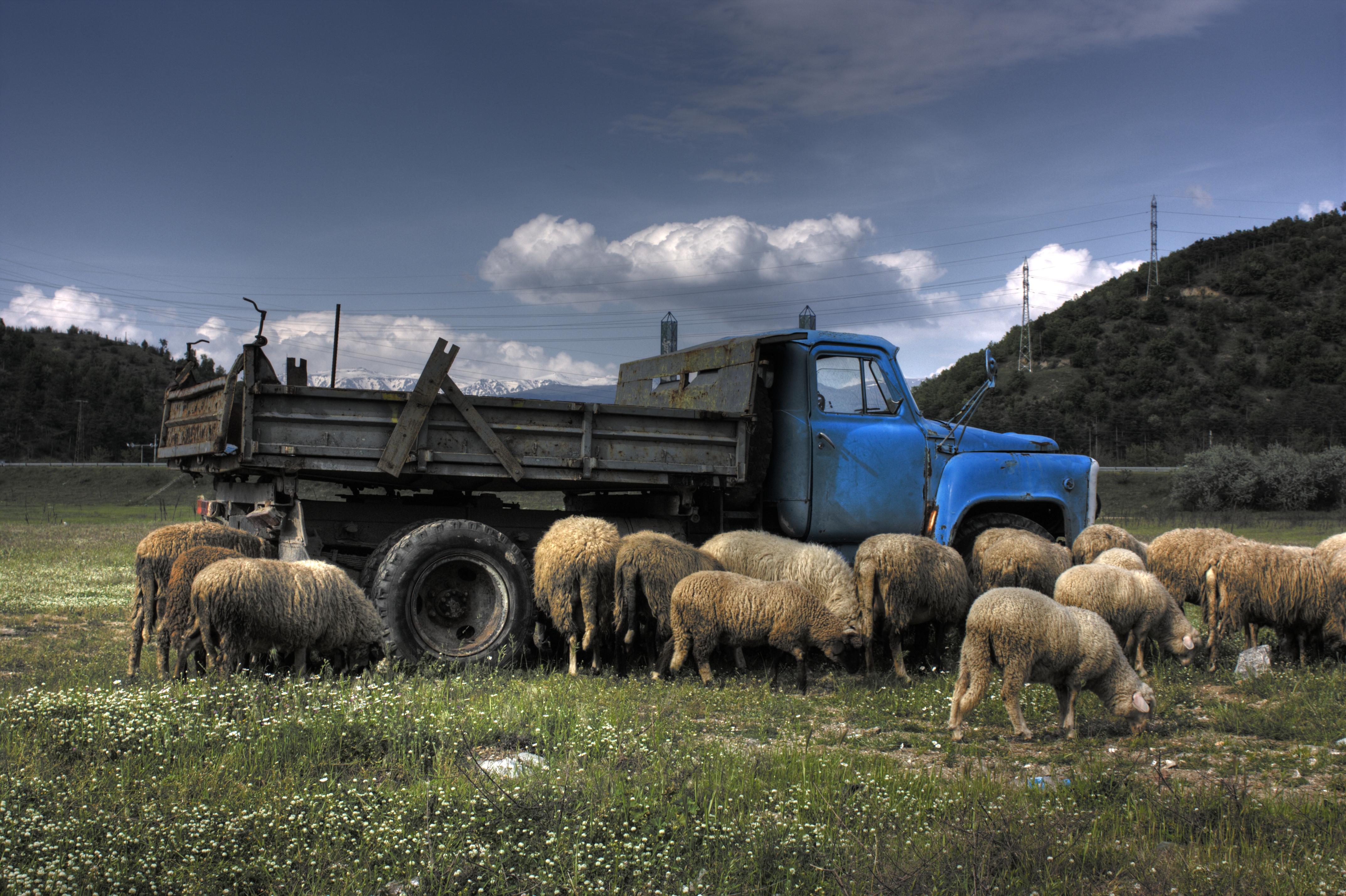
Homeland (Part 2)

31122009(041)
31122009(047)

Winter Fogs
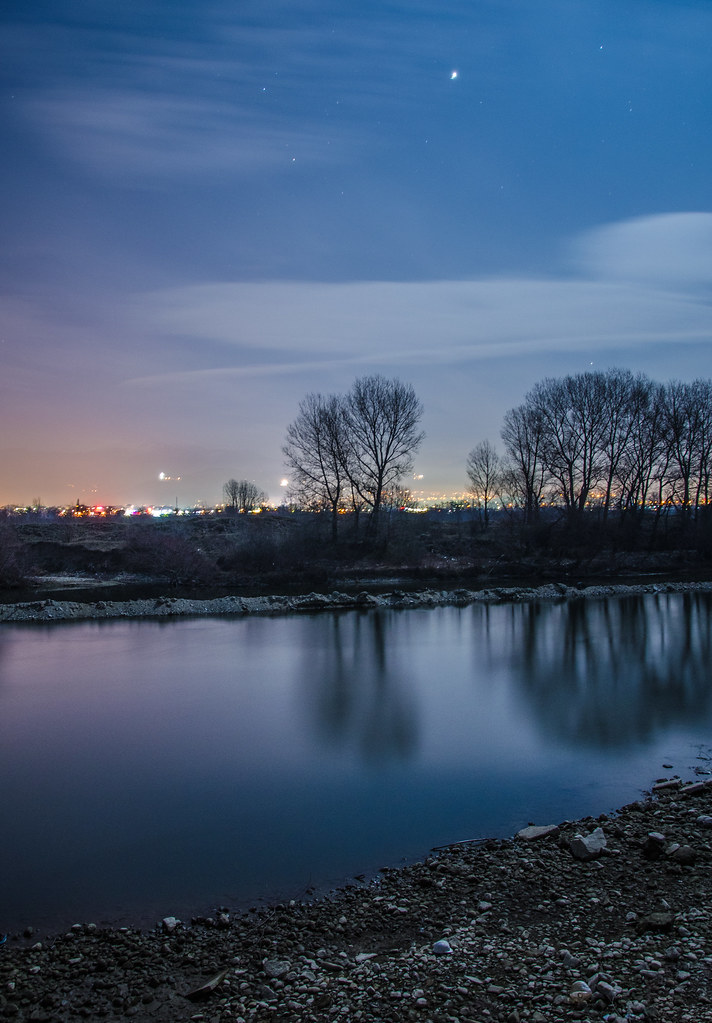
Calm Night
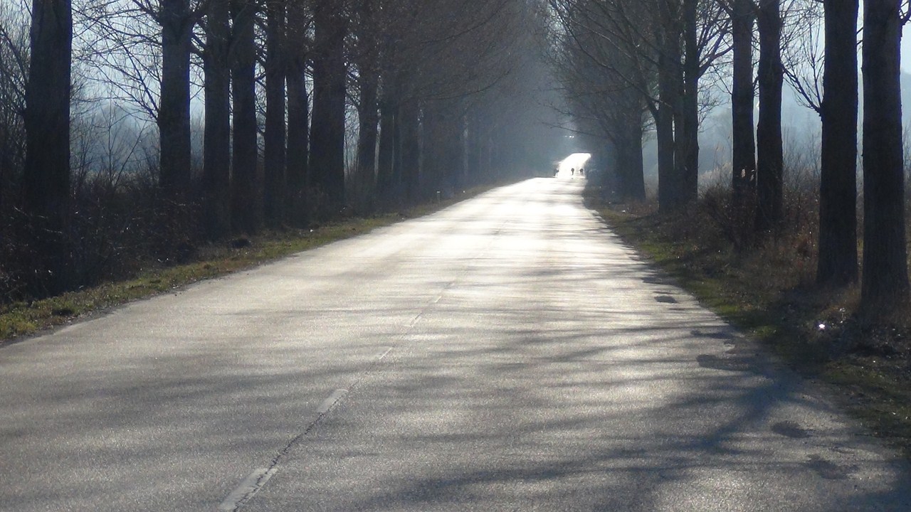
Serbie, route de Beograd

31122009(042)
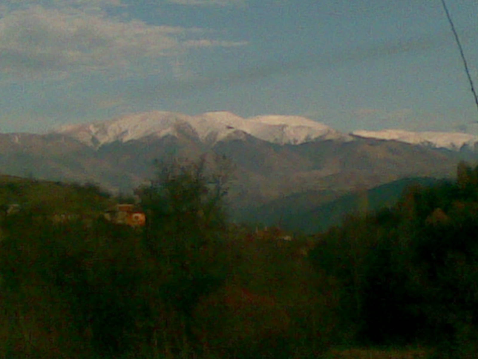
Mount Rila
Blagoevgrad Bulgaria - Bachinovo Park (Nokia 808)
Bulgaria - 0072
Bulgaria - 0116
Logodazh, Blagoevgrad
Bulgaria - 0070

Zerynthia polyxena

Lost without it
Ready for fishing

Rila, Bulgaria
Blagoevgrad, Bulgaria

2013-07-14 12-02-05
Topographic Map of Blagoevgrad Province, Bulgaria
Find elevation by address:

Places in Blagoevgrad Province, Bulgaria:
Places near Blagoevgrad Province, Bulgaria:
Blagoevgrad
Kalin Dam
Malyovitsa
Vihren
Ovinache
Bansko
Rila
Yazovir Beli Iskar
Sandanski
Musala
Rozhen
Rupite
Pirin Mountains
Zlatolist
Kulata
Belasica
Belmeken
Fort Roupel
Sintiki
Kerkini
Recent Searches:
- Elevation of Corso Fratelli Cairoli, 35, Macerata MC, Italy
- Elevation of Tallevast Rd, Sarasota, FL, USA
- Elevation of 4th St E, Sonoma, CA, USA
- Elevation of Black Hollow Rd, Pennsdale, PA, USA
- Elevation of Oakland Ave, Williamsport, PA, USA
- Elevation of Pedrógão Grande, Portugal
- Elevation of Klee Dr, Martinsburg, WV, USA
- Elevation of Via Roma, Pieranica CR, Italy
- Elevation of Tavkvetili Mountain, Georgia
- Elevation of Hartfords Bluff Cir, Mt Pleasant, SC, USA