Elevation of Blackfriars Peak, Columbia-Shuswap A, BC V0A, Canada
Location: Canada > British Columbia > Columbia-shuswap > Columbia-shuswap A >
Longitude: -117.90888
Latitude: 51.7225
Elevation: 3028m / 9934feet
Barometric Pressure: 70KPa
Elevation Map:
Satellite Map:
Related Photos:
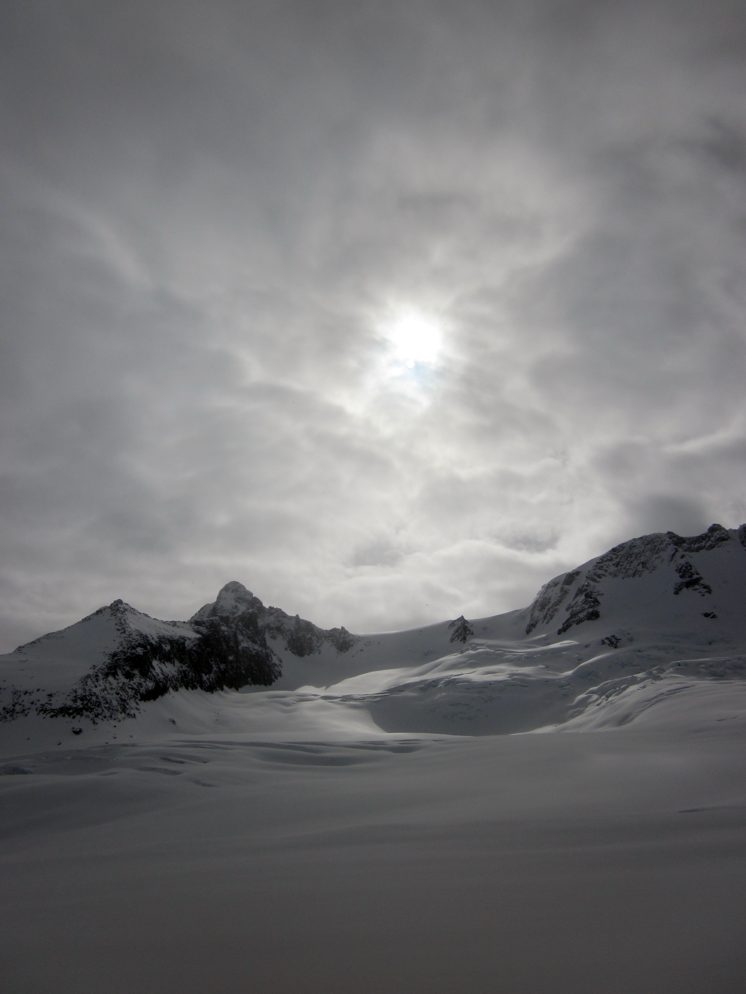
View of Sentinel
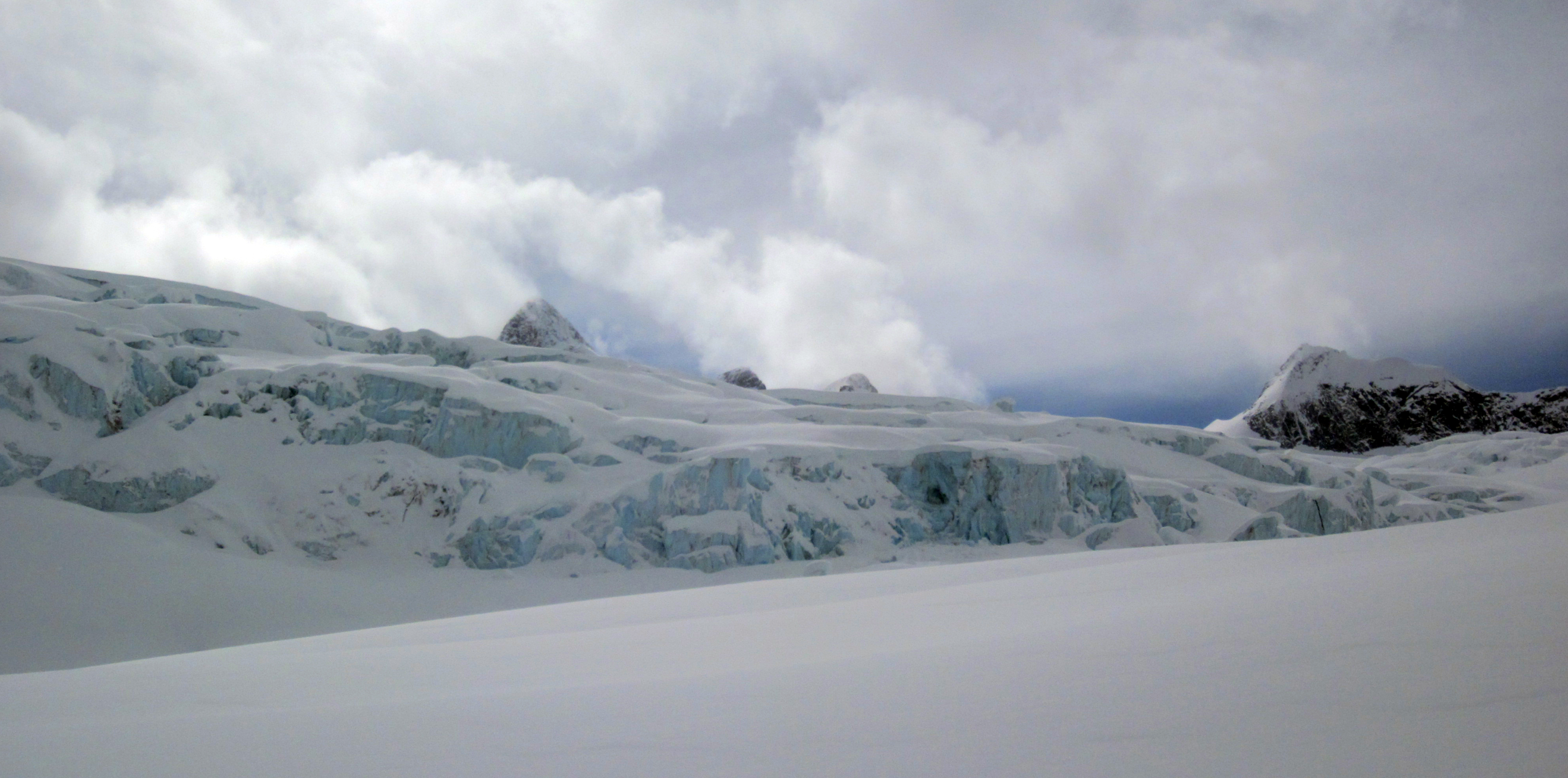
View of icefall from below
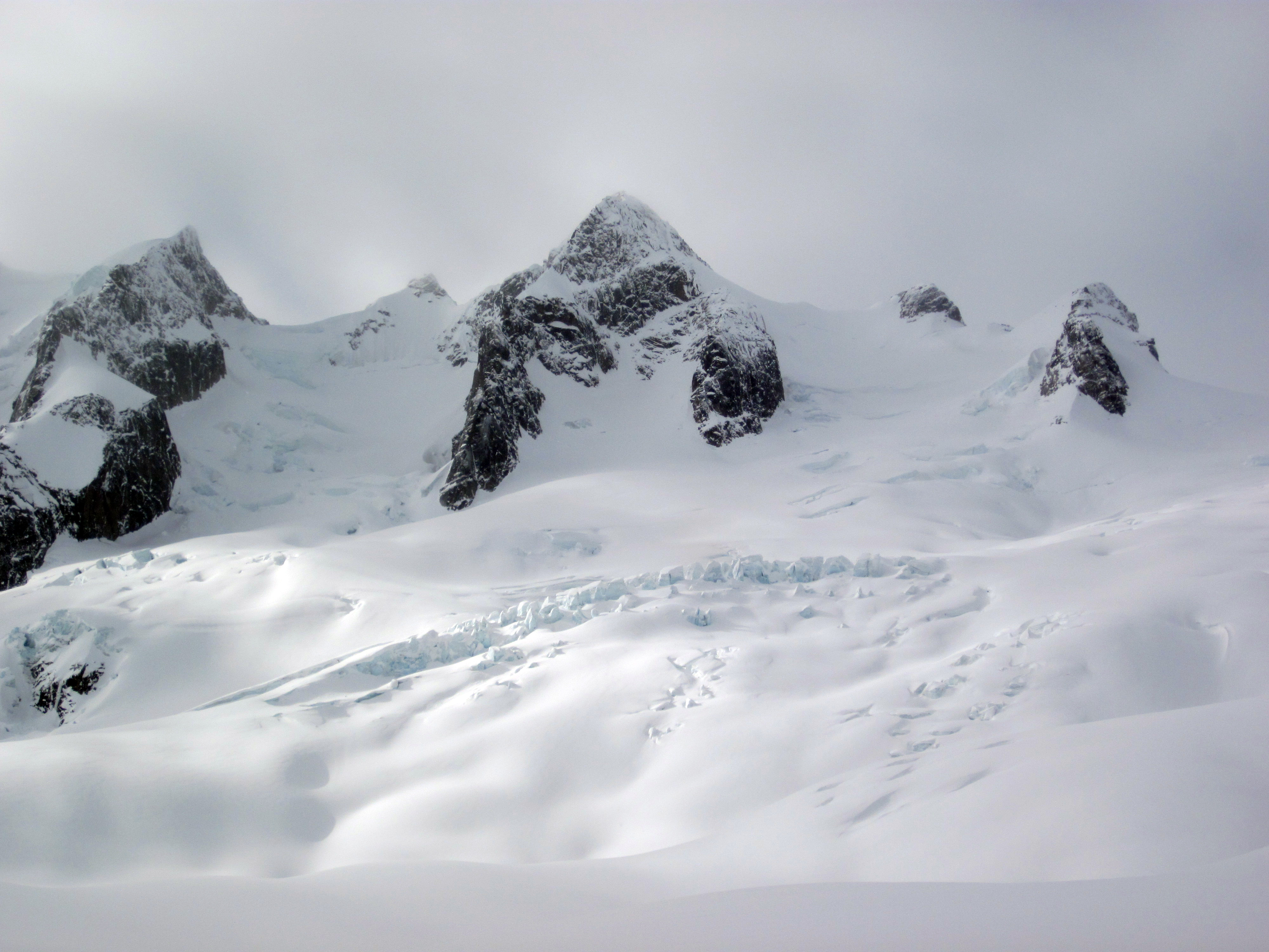
Another view up the Granite Glacier
Topographic Map of Blackfriars Peak, Columbia-Shuswap A, BC V0A, Canada
Find elevation by address:

Places near Blackfriars Peak, Columbia-Shuswap A, BC V0A, Canada:
Adamant Mountain
Mount Sir Sandford
Citadel Mountain
Mount Ed Falls
Cornice Peak
Sonata Mountain
Helium Peak
Remillard Peak
Bachelor R
Cherub Mountain
Sophist Mountain
Sorcerer Mountain
Columbia-shuswap
Iconoclast Mountain
Mount Holway
Basil S1
Columbia-shuswap A
Basil S3
Basil Peak
Pawn Peak
Recent Searches:
- Elevation of Corso Fratelli Cairoli, 35, Macerata MC, Italy
- Elevation of Tallevast Rd, Sarasota, FL, USA
- Elevation of 4th St E, Sonoma, CA, USA
- Elevation of Black Hollow Rd, Pennsdale, PA, USA
- Elevation of Oakland Ave, Williamsport, PA, USA
- Elevation of Pedrógão Grande, Portugal
- Elevation of Klee Dr, Martinsburg, WV, USA
- Elevation of Via Roma, Pieranica CR, Italy
- Elevation of Tavkvetili Mountain, Georgia
- Elevation of Hartfords Bluff Cir, Mt Pleasant, SC, USA