Elevation of Blackburn Ln, Lenoir City, TN, USA
Location: United States > Tennessee > Roane County > Lenoir City >
Longitude: -84.37088
Latitude: 35.897882
Elevation: 238m / 781feet
Barometric Pressure: 98KPa
Elevation Map:
Satellite Map:
Related Photos:
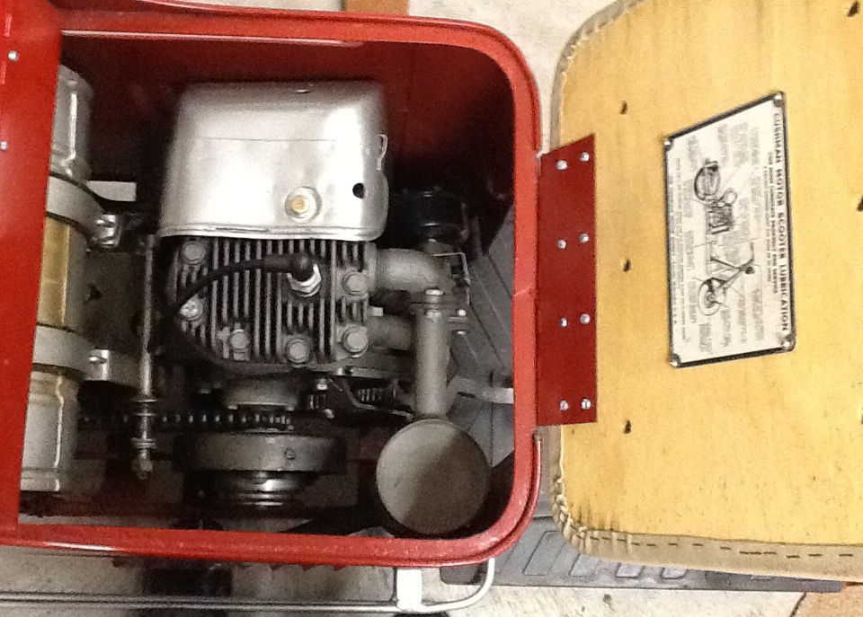
Inside views of 1947 Cushman model 52.

Inside views of 1947 Cushman model 52.

Roane County, TN Courthouse - Kingston, TN
Sharp View

Sharp Lot 7 View
Sharp View

Rear view
MHP view from road
K-33

K-31
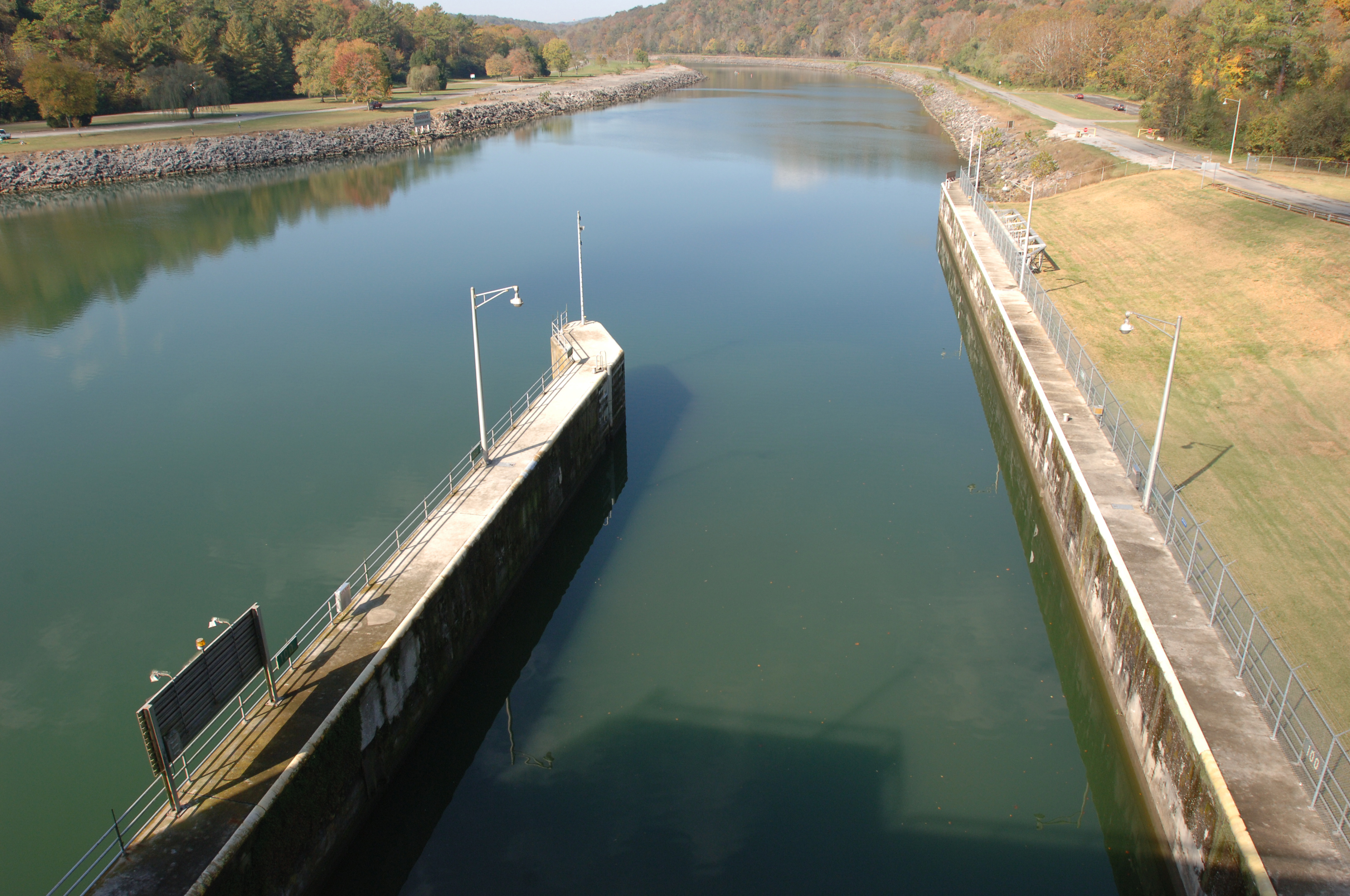
Melton Hill Lock

Kingston Fossil Plant

THE 2011 SUPER MOON
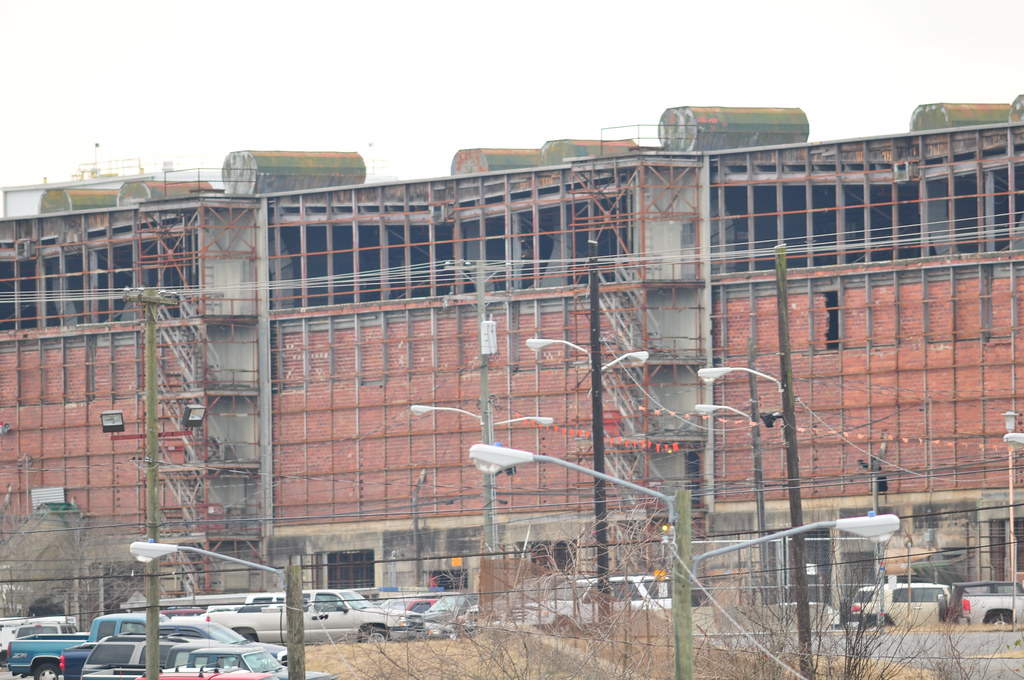
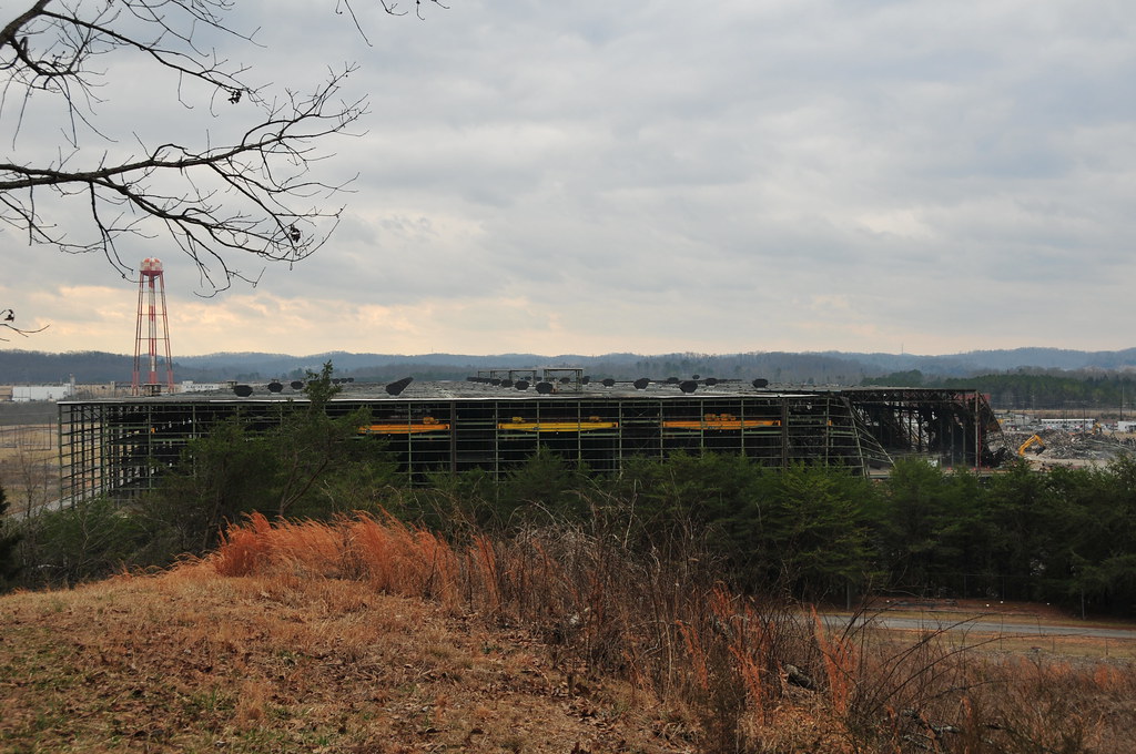
K-25 east wing
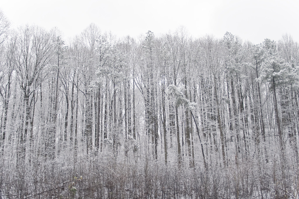
Snow on the Knoxville Trees
North Boundary Trail creek2
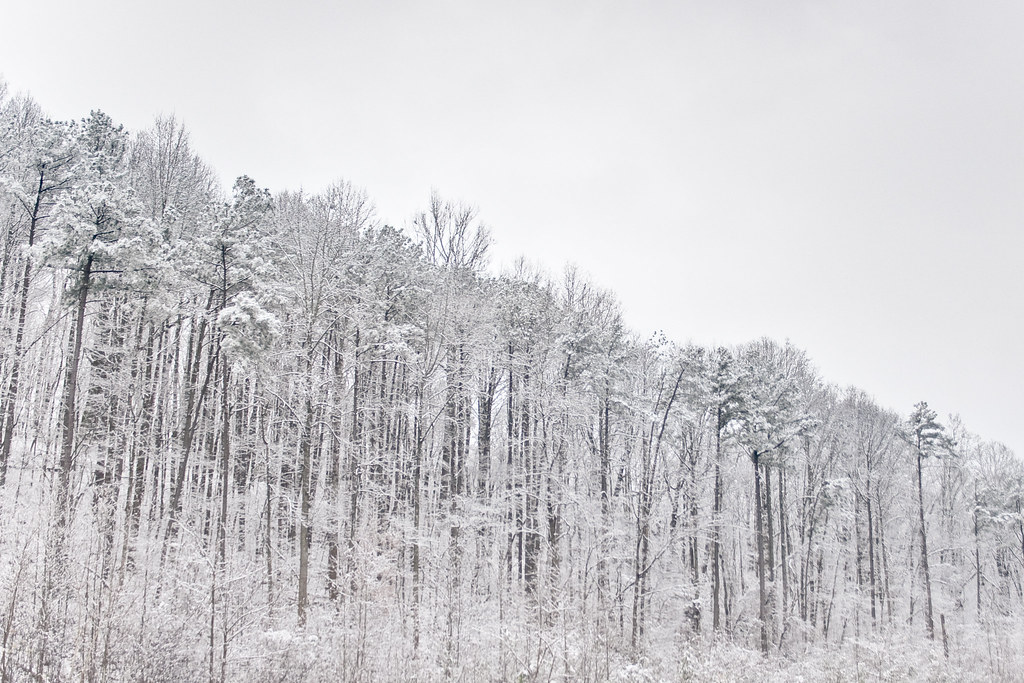
Snow Covered Trees on the I-40
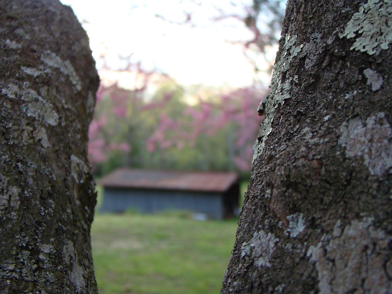
barn view
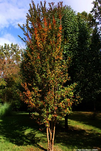
Fall Crape Myrtle
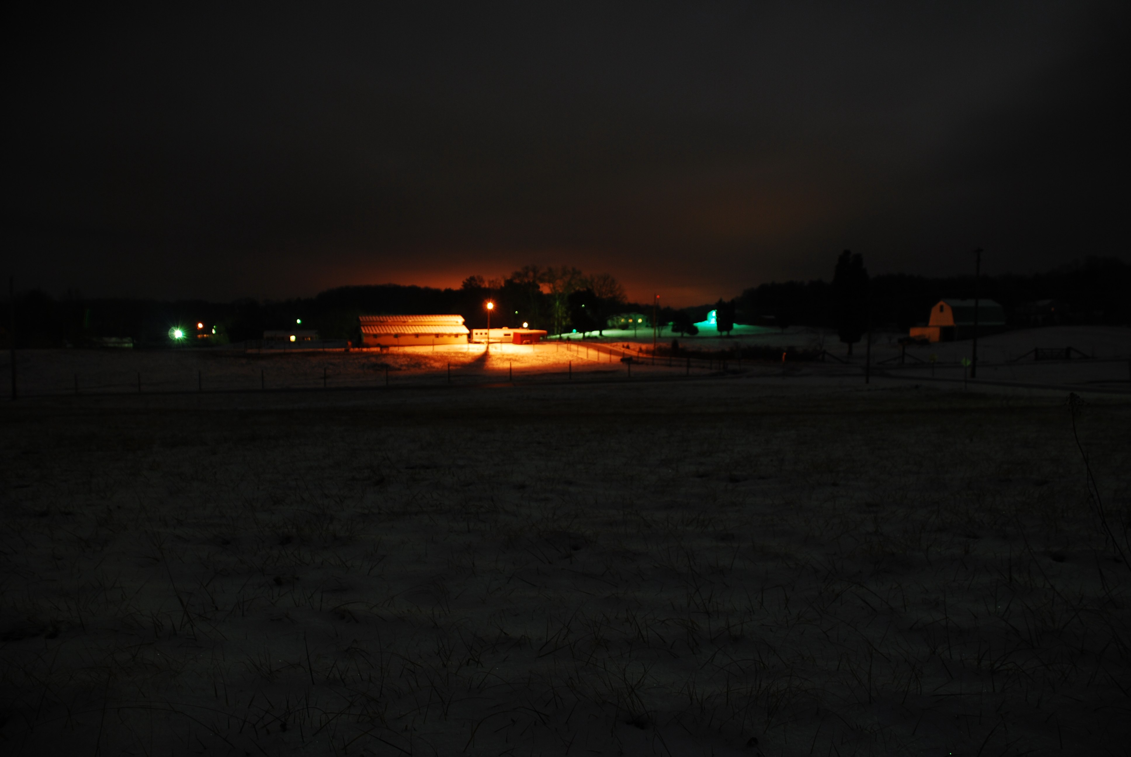
Night view of the farm
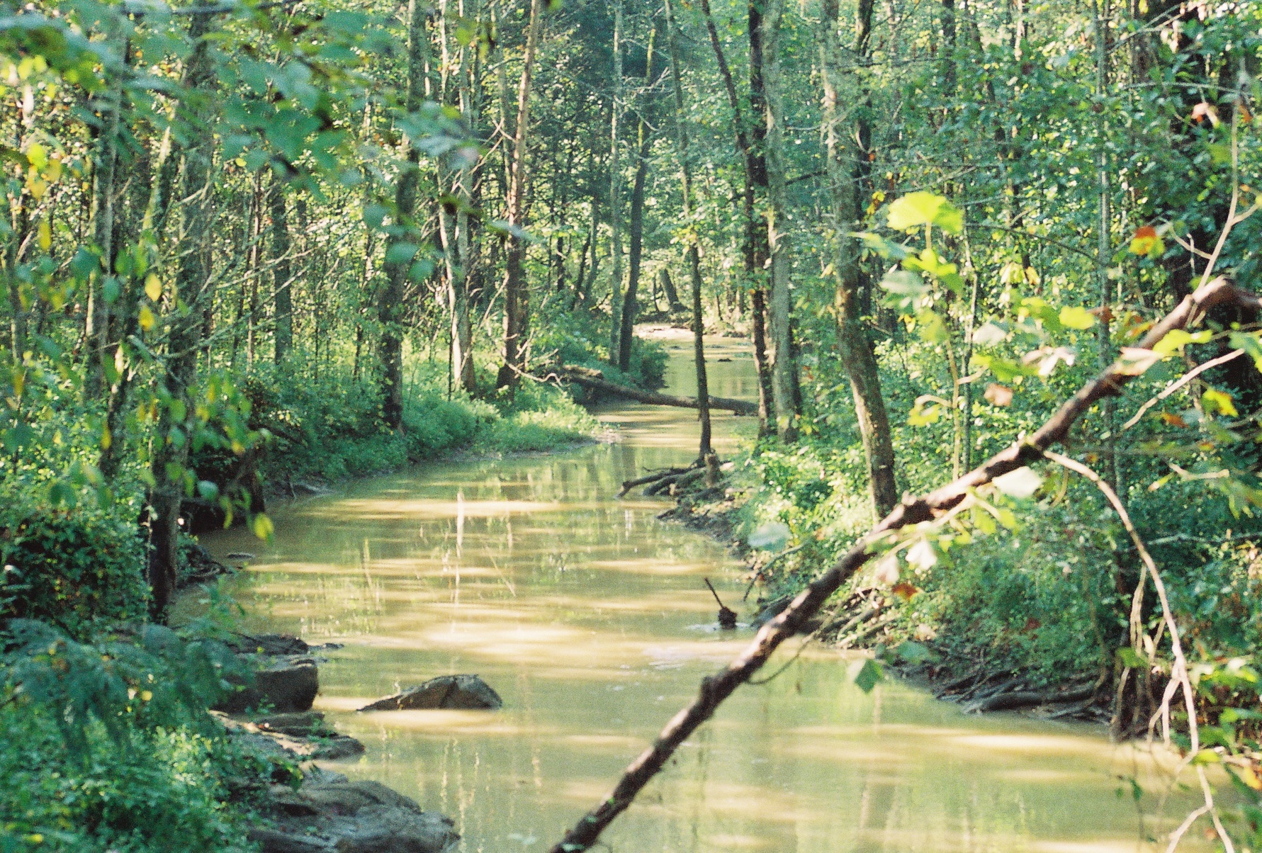
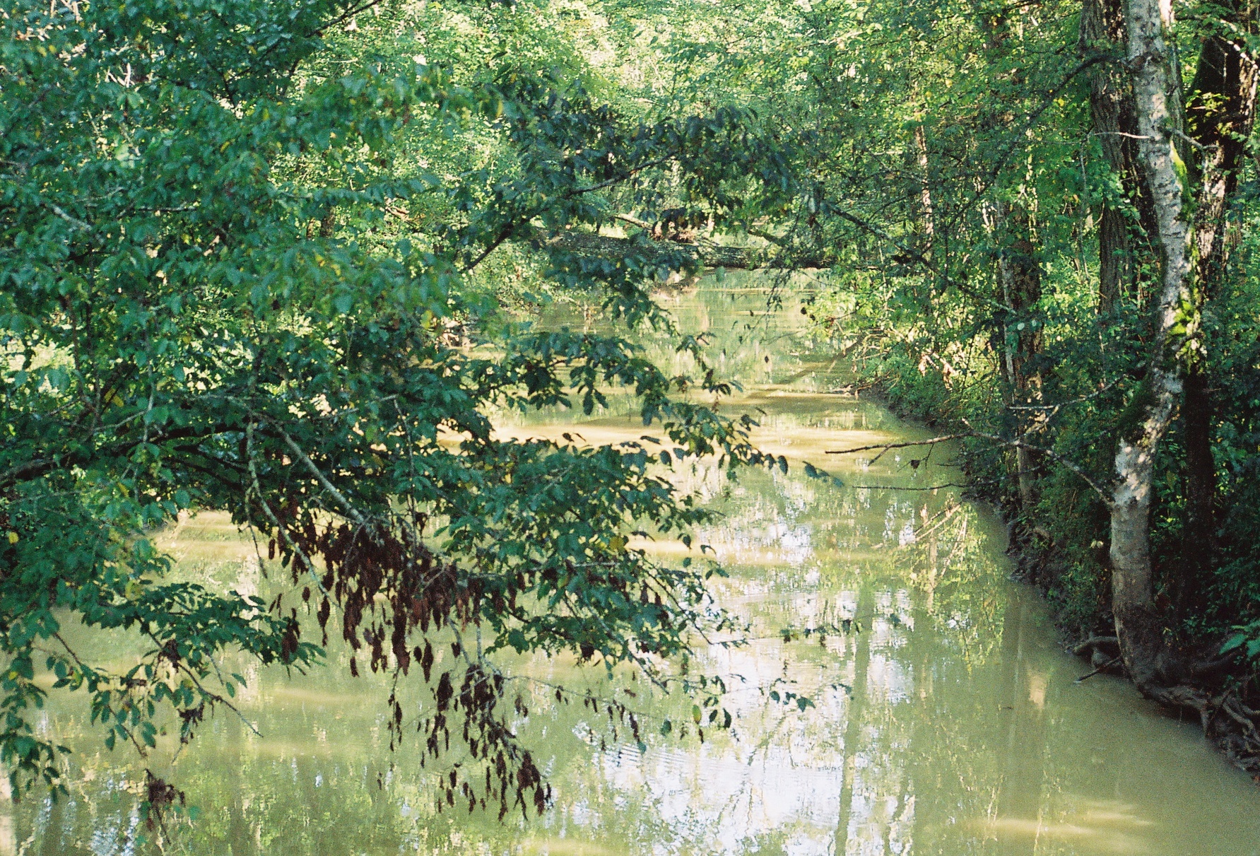
North Boundary Trail creek
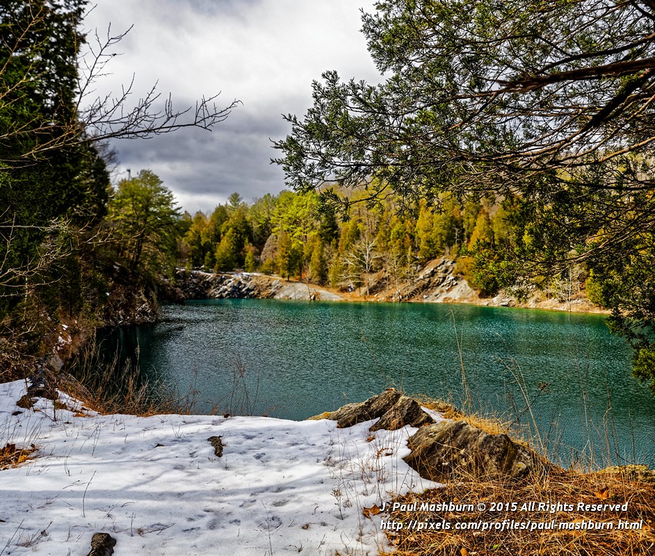
East Quarry

East Quarry

Clinch river at Melton Hill Dam. #tnlakes #clinchriver #meltonhilldam #clouds #weather #clearingstorm #iphone
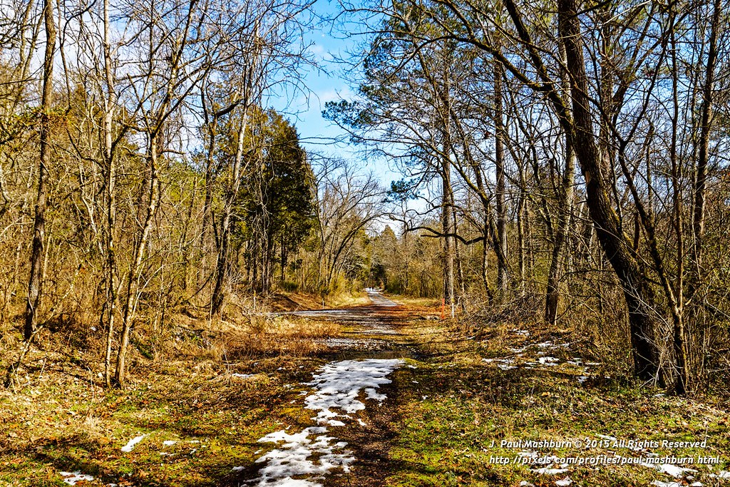
Quarry Road Trail
East Quarry
MHP overcast2

Sharp Lot 10d
Sharp Lot 10d
Sharp Lot 1b

Sharp Lot 1b
Sharp Lot 10c
Sharp Lot 1d
HDR Nature Vomit

Sharp Lot 1d

Sharp Lot 10b

Sharp Lot 10b
Sharp Lot 10e

Sharp Lot 10e

2012-05-24 21.03.56

#Sunrise #Forest #Trees #stream #water #sunshine #Tennessee
Topographic Map of Blackburn Ln, Lenoir City, TN, USA
Find elevation by address:

Places near Blackburn Ln, Lenoir City, TN, USA:
Jones Rd, Lenoir City, TN, USA
Buttermilk Rd, Lenoir City, TN, USA
871 Poplar Creek Rd
Gum Hollow Road
23 Westover Dr
1112 W Outer Dr
1095 W Outer Dr
1120 W Outer Dr
105 Norway Ln
2385 Oak Ridge Turnpike
125 Montana Ave
954 W Outer Dr
116 W Bryn Mawr Cir
Oak Ridge, TN, USA
Valleyview Drive
145 N Seneca Rd
E Tri County Blvd, Oliver Springs, TN, USA
Royce Gardens Hillside Towns Apartments
145 Old Batley Rd
Oak Ridge
Recent Searches:
- Elevation of Corso Fratelli Cairoli, 35, Macerata MC, Italy
- Elevation of Tallevast Rd, Sarasota, FL, USA
- Elevation of 4th St E, Sonoma, CA, USA
- Elevation of Black Hollow Rd, Pennsdale, PA, USA
- Elevation of Oakland Ave, Williamsport, PA, USA
- Elevation of Pedrógão Grande, Portugal
- Elevation of Klee Dr, Martinsburg, WV, USA
- Elevation of Via Roma, Pieranica CR, Italy
- Elevation of Tavkvetili Mountain, Georgia
- Elevation of Hartfords Bluff Cir, Mt Pleasant, SC, USA