Elevation of Black River Township, AR, USA
Location: United States > Arkansas > Lawrence County >
Longitude: -91.154496
Latitude: 36.0620597
Elevation: 100m / 328feet
Barometric Pressure: 100KPa
Elevation Map:
Satellite Map:
Related Photos:

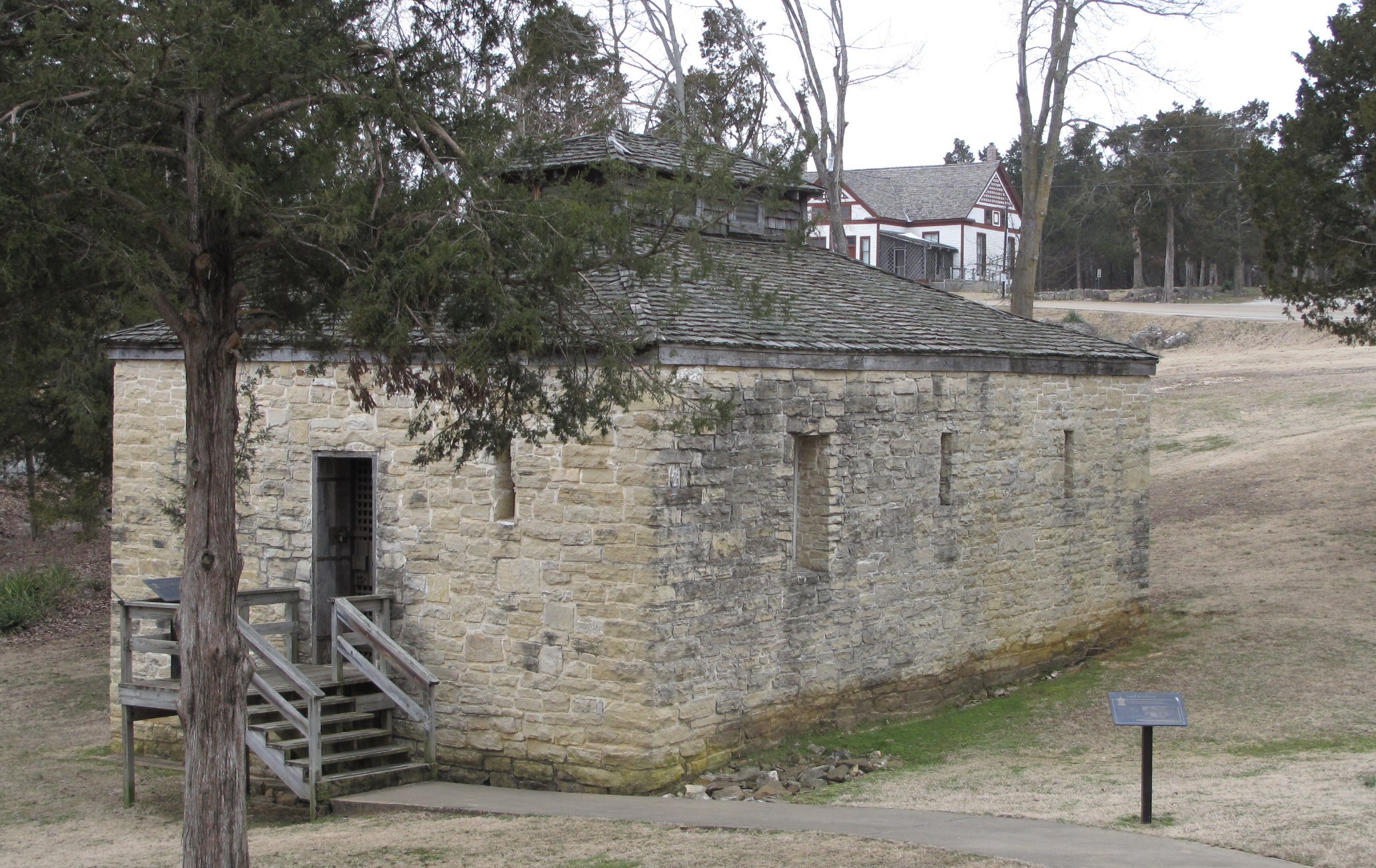
Davidsonville Historic State Park (Ark.), 16 February 2010
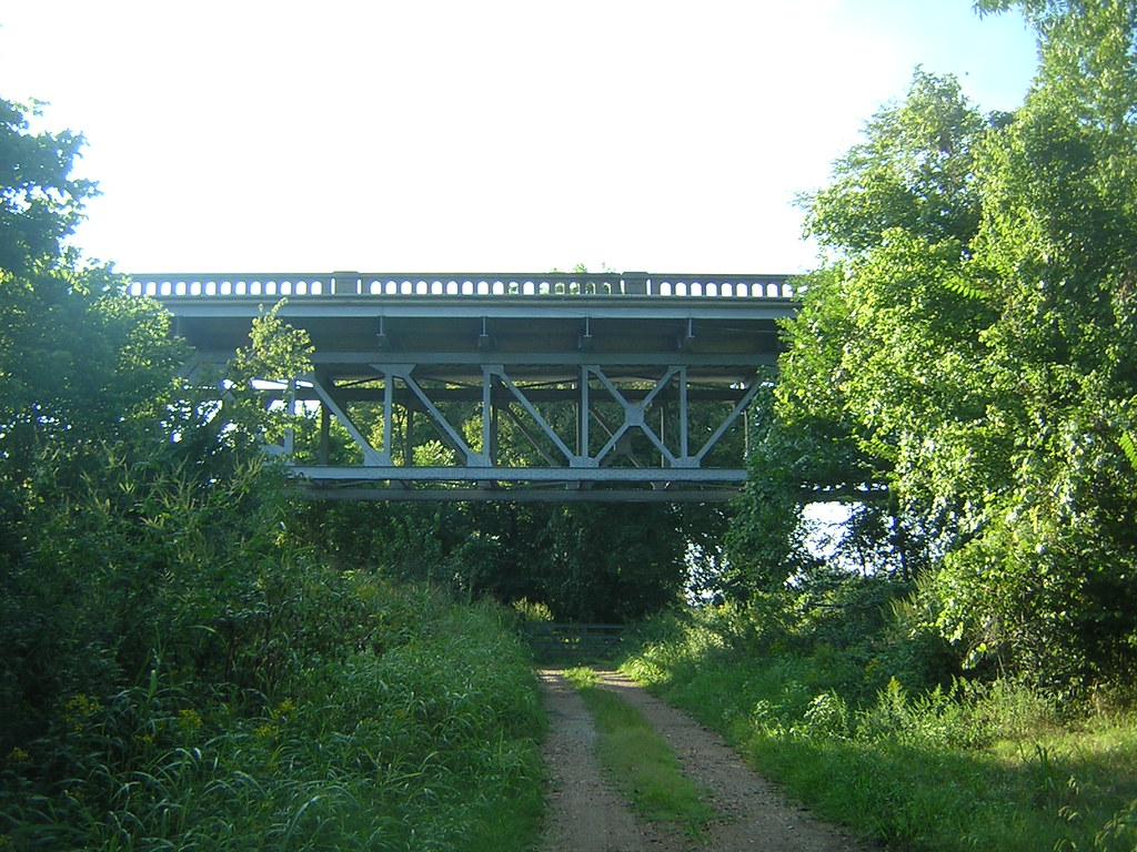
Imboden Bridge-Side View
Powhatan Historic State Park (Ark.), 16 February 2010

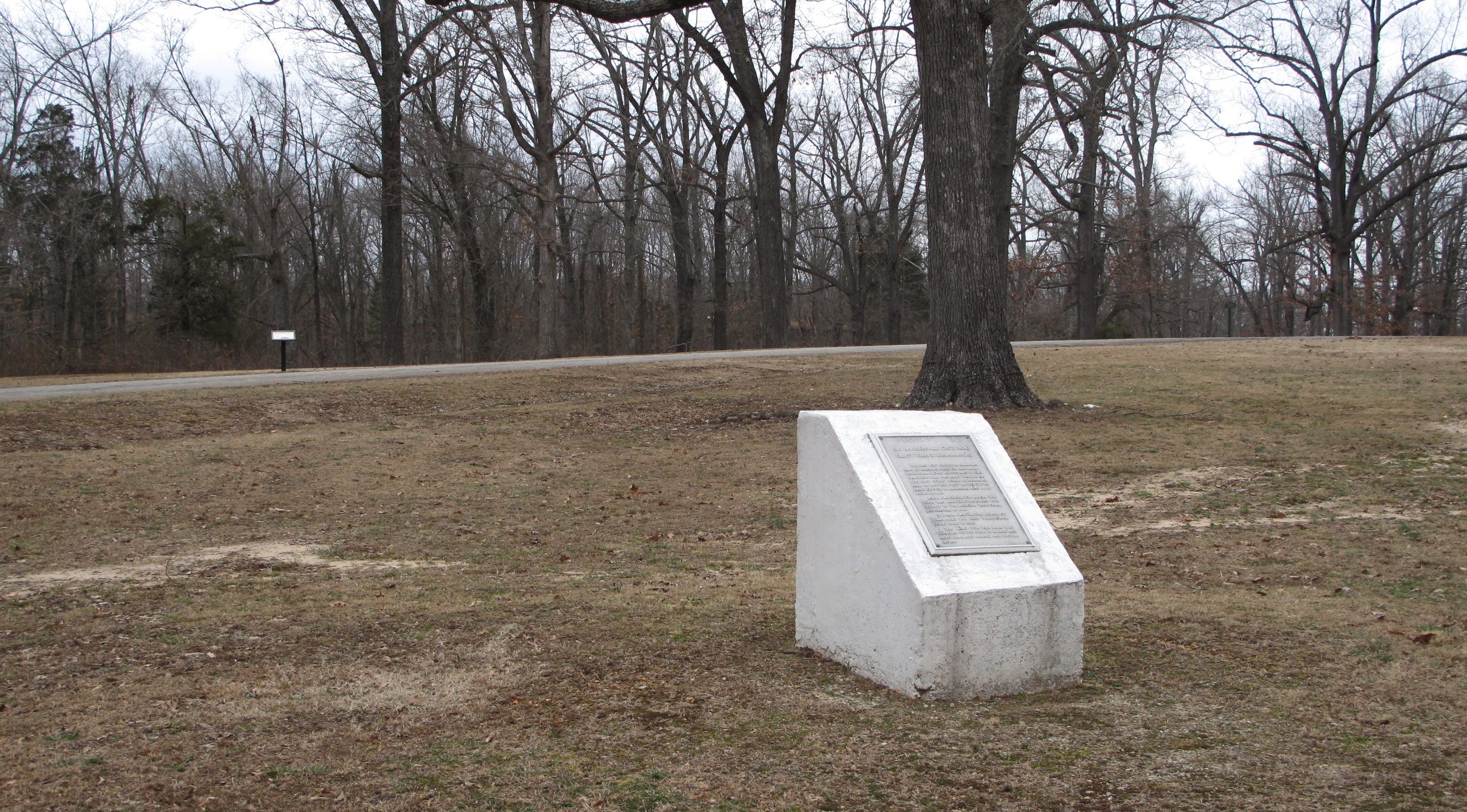
Davidsonville Historic State Park (Ark.), 16 February 2010
Davidsonville Historic State Park (Ark.), 16 February 2010
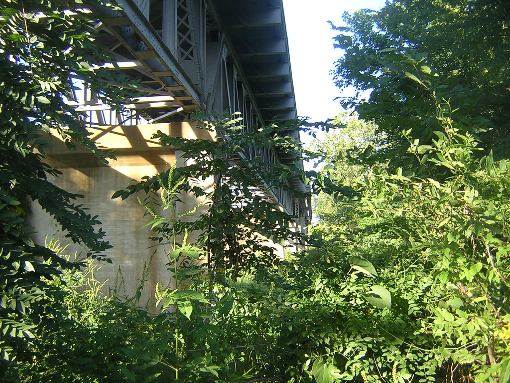
Imboden Bridge-Below

On the way to Pocahontas.

Bridge 380-01
Lake Charles Panorama 1

Bridge 380-12
Topographic Map of Black River Township, AR, USA
Find elevation by address:

Places in Black River Township, AR, USA:
Places near Black River Township, AR, USA:
Lawrence Road 261
Powhatan
AR-25, Powhatan, AR, USA
Lawrence County
Law, Hoxie, AR, USA
30 Lawrence Rd 211 S
Lawrence Township
E Front St, Portia, AR, USA
Lawrence Rd, Alicia, AR, USA
Lynn
28 AR-25, Lynn, AR, USA
257 Lawrence Rd 201
Morgan Township
Annieville
AR-, Imboden, AR, USA
Dent Township
Annieville Township
Law, Alicia, AR, USA
State Hwy, Strawberry, AR, USA
Imboden
Recent Searches:
- Elevation of Fern Rd, Whitmore, CA, USA
- Elevation of 62 Abbey St, Marshfield, MA, USA
- Elevation of Fernwood, Bradenton, FL, USA
- Elevation of Felindre, Swansea SA5 7LU, UK
- Elevation of Leyte Industrial Development Estate, Isabel, Leyte, Philippines
- Elevation of W Granada St, Tampa, FL, USA
- Elevation of Pykes Down, Ivybridge PL21 0BY, UK
- Elevation of Jalan Senandin, Lutong, Miri, Sarawak, Malaysia
- Elevation of Bilohirs'k
- Elevation of 30 Oak Lawn Dr, Barkhamsted, CT, USA