Elevation of Black Mountain, Montana, USA
Location: United States > Montana > Park County > Livingston >
Longitude: -110.46631
Latitude: 45.4713262
Elevation: 3329m / 10922feet
Barometric Pressure: 67KPa
Elevation Map:
Satellite Map:
Related Photos:
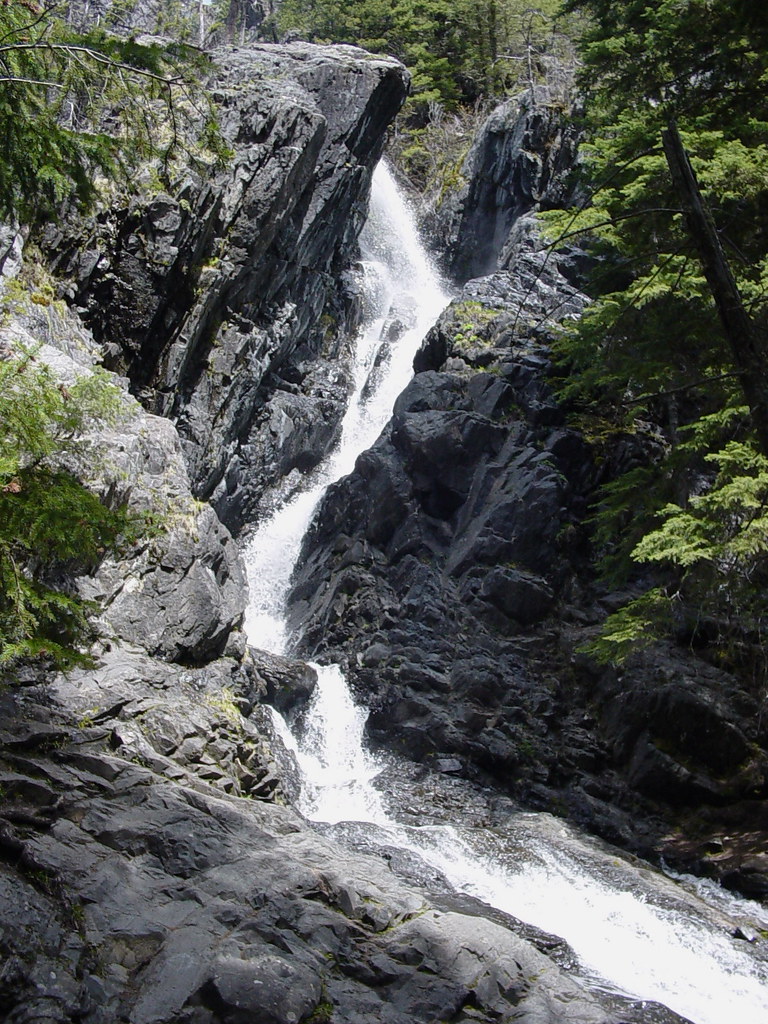
Pine Creek Falls, Pine Creek Montana
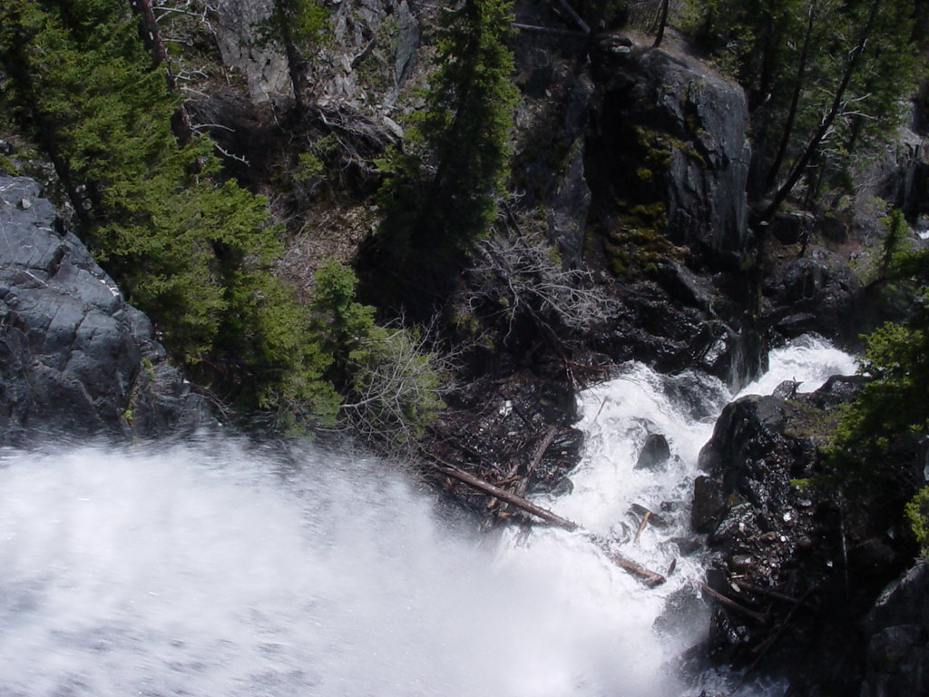
Once more, from the top.
Topographic Map of Black Mountain, Montana, USA
Find elevation by address:

Places near Black Mountain, Montana, USA:
Luccock Park Rd, Livingston, MT, USA
E River Rd, Livingston, MT, USA
163 Pine Creek Rd
46 Above Paradise Trail
659 Livingston Peak Rd
Park County
3838 Us-89
143 Mission Meadow Rd
3882 Us-89
Livingston Peak Road
5096 Us-89
923 Mill Creek Rd
637 Mill Creek Rd
544 W Boulder Rd
Livingston, MT, USA
40 View Vista Dr, Livingston, MT, USA
Swingley Rd, Livingston, MT, USA
Livingston
Montana's Rib & Chop House
Hwy 10 W & Washington St
Recent Searches:
- Elevation of Corso Fratelli Cairoli, 35, Macerata MC, Italy
- Elevation of Tallevast Rd, Sarasota, FL, USA
- Elevation of 4th St E, Sonoma, CA, USA
- Elevation of Black Hollow Rd, Pennsdale, PA, USA
- Elevation of Oakland Ave, Williamsport, PA, USA
- Elevation of Pedrógão Grande, Portugal
- Elevation of Klee Dr, Martinsburg, WV, USA
- Elevation of Via Roma, Pieranica CR, Italy
- Elevation of Tavkvetili Mountain, Georgia
- Elevation of Hartfords Bluff Cir, Mt Pleasant, SC, USA