Elevation of Black Bear Trail, Linville, NC, USA
Location: United States > North Carolina > Avery County > Linville > Linville >
Longitude: -81.879835
Latitude: 36.038253
Elevation: 1118m / 3668feet
Barometric Pressure: 89KPa
Elevation Map:
Satellite Map:
Related Photos:
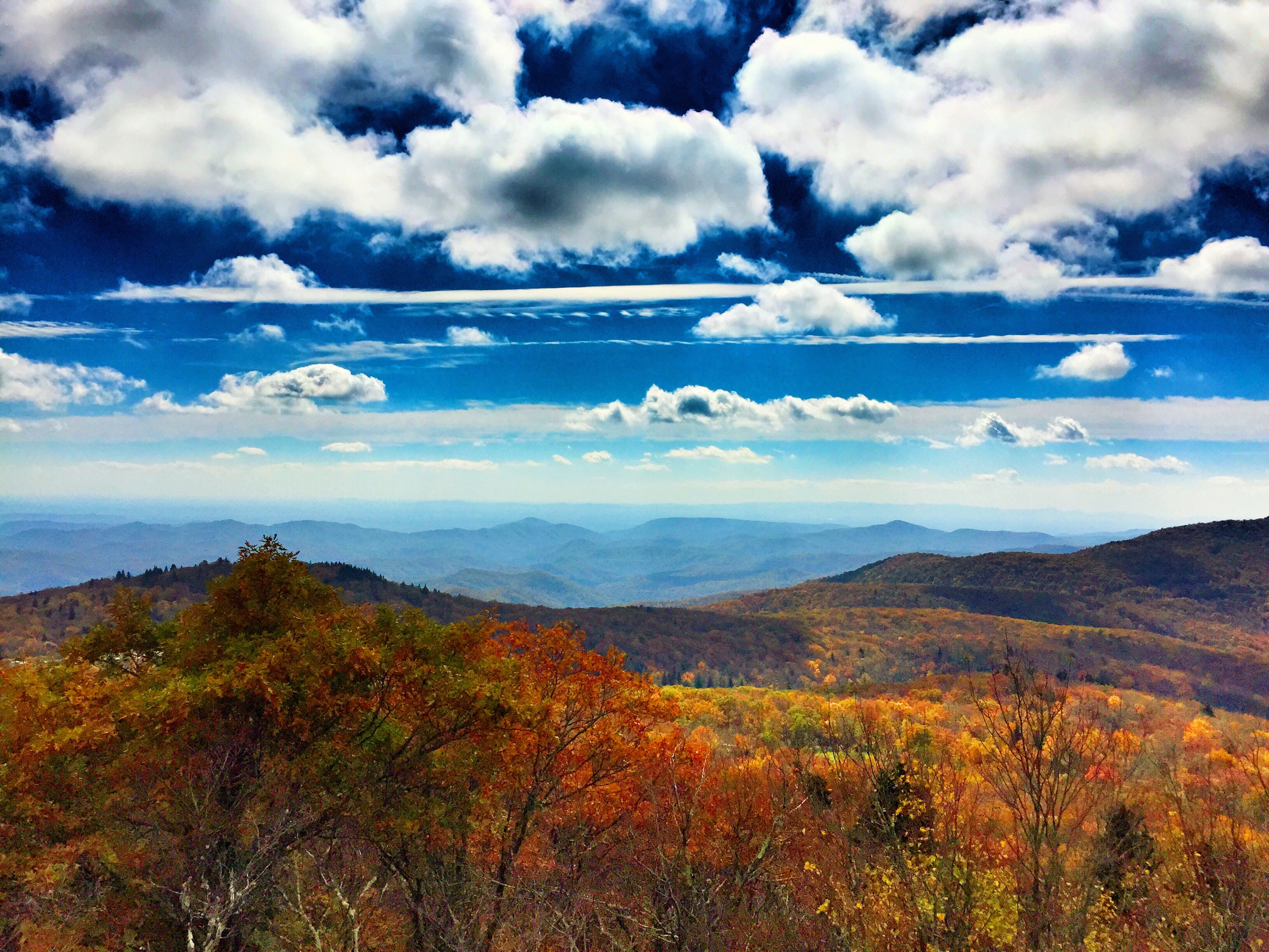
Split Rock - 1
Gods Country
Split Rock - 2

My Playground #2
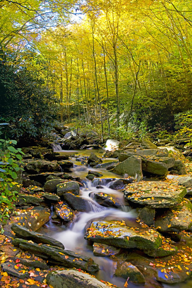
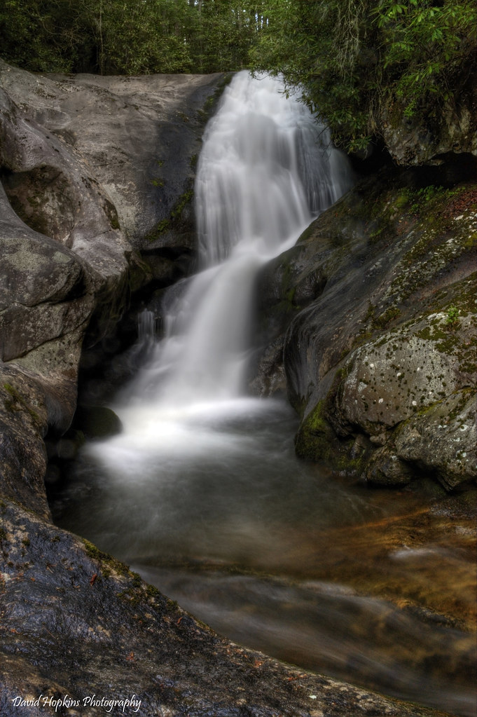
Dugger Creek Falls
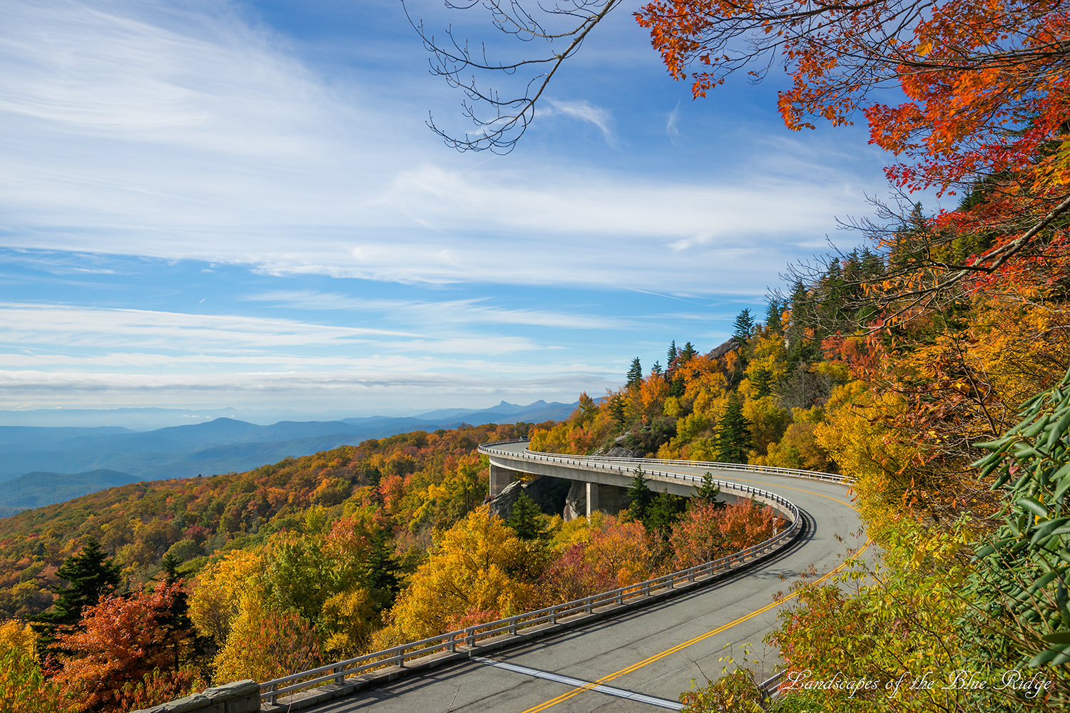
Viaduct 2013
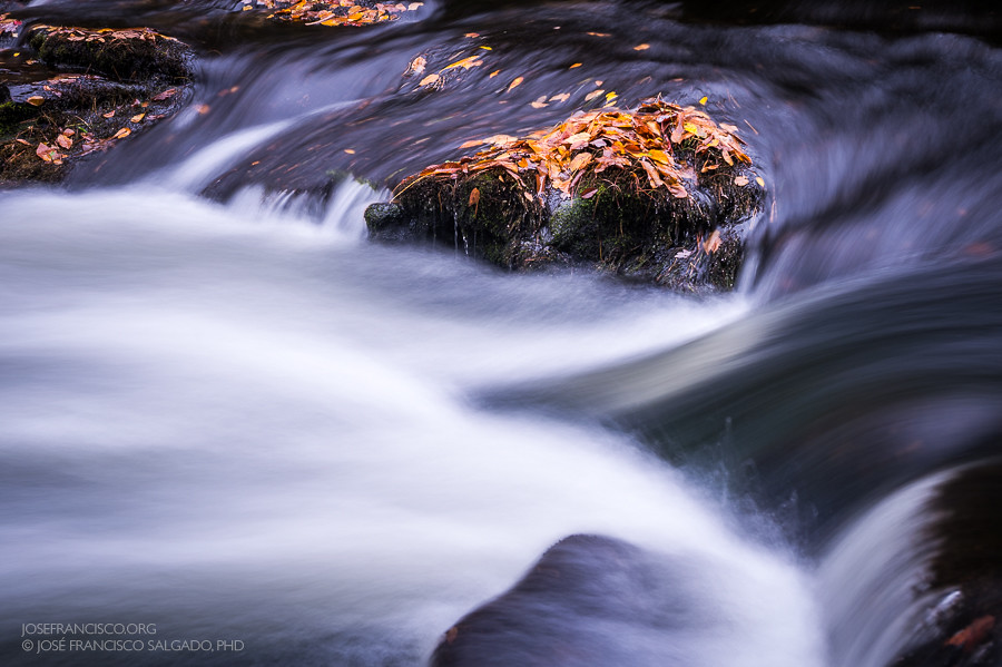
Cascade on Boone Fork Creek

is it summer yet... hbw my friends ;-)

Autumn on Boone Fork
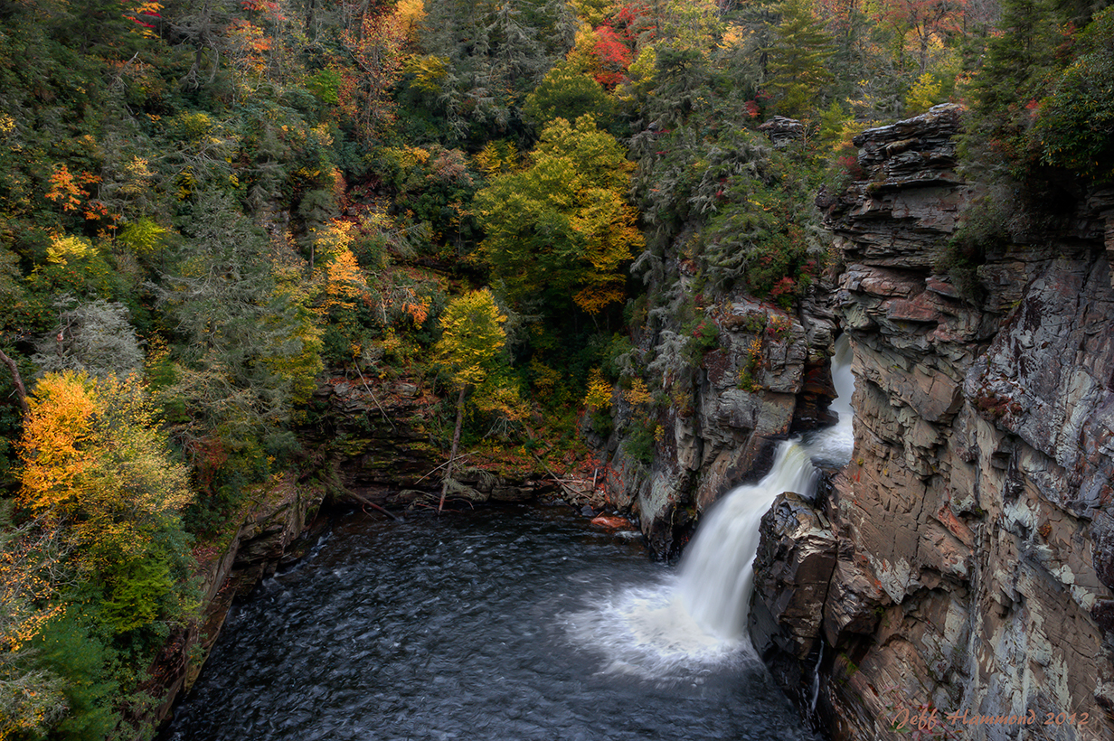
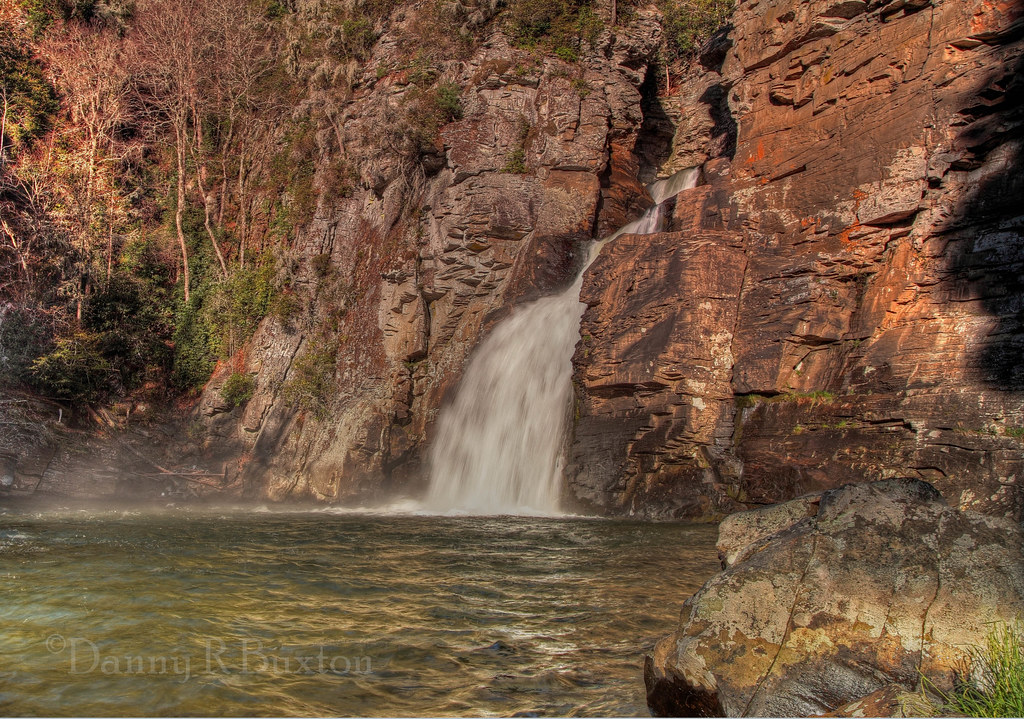
Linville Falls

IMG_6015-20090507

Go. Explore. Connect. Tanawha Trail Rough Ridge Blue Ridge Parkway

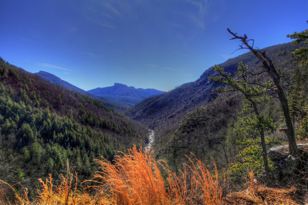
Evening Descends Over Linville Gorge
Linville Falls
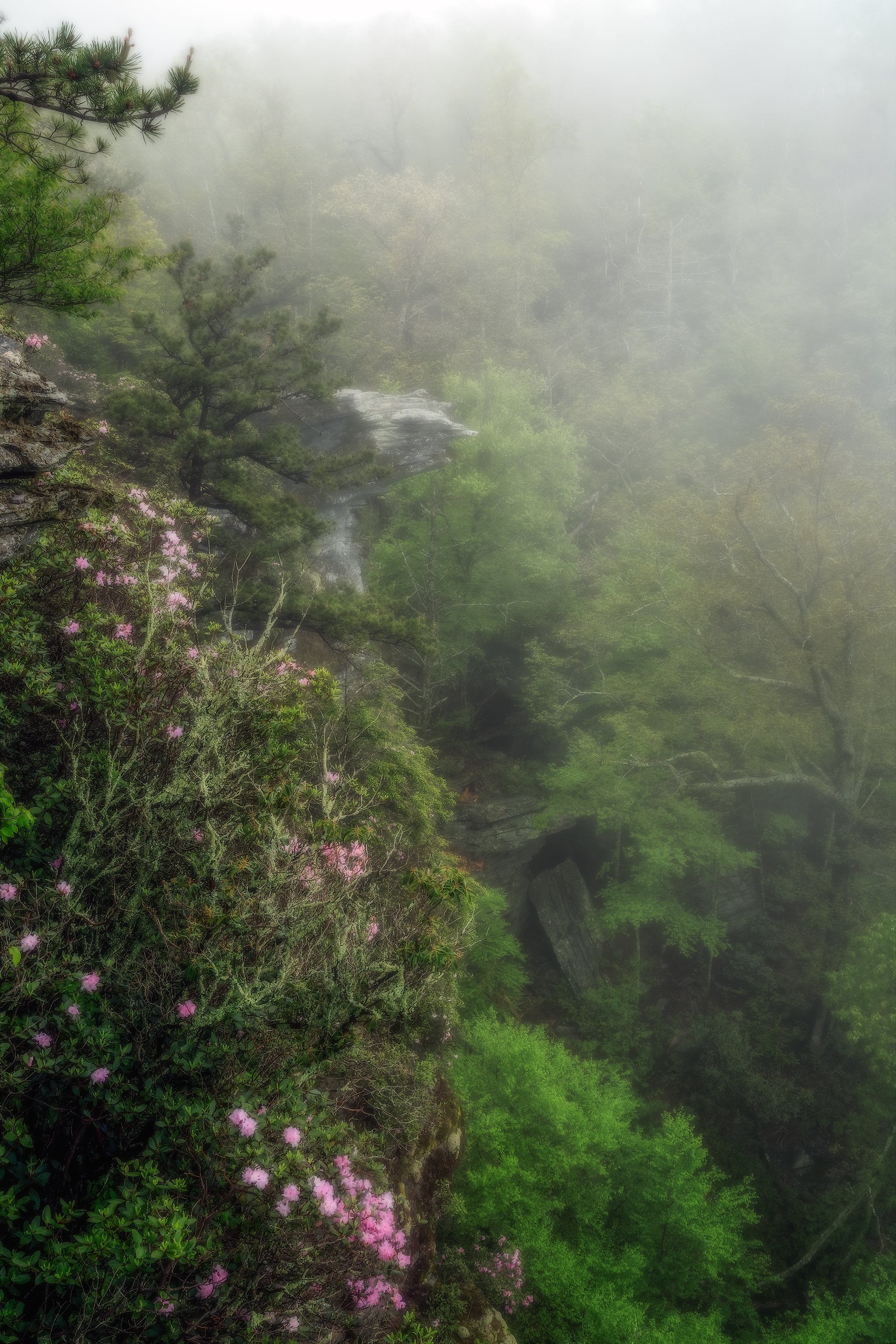
Cliffside At Wiseman's View

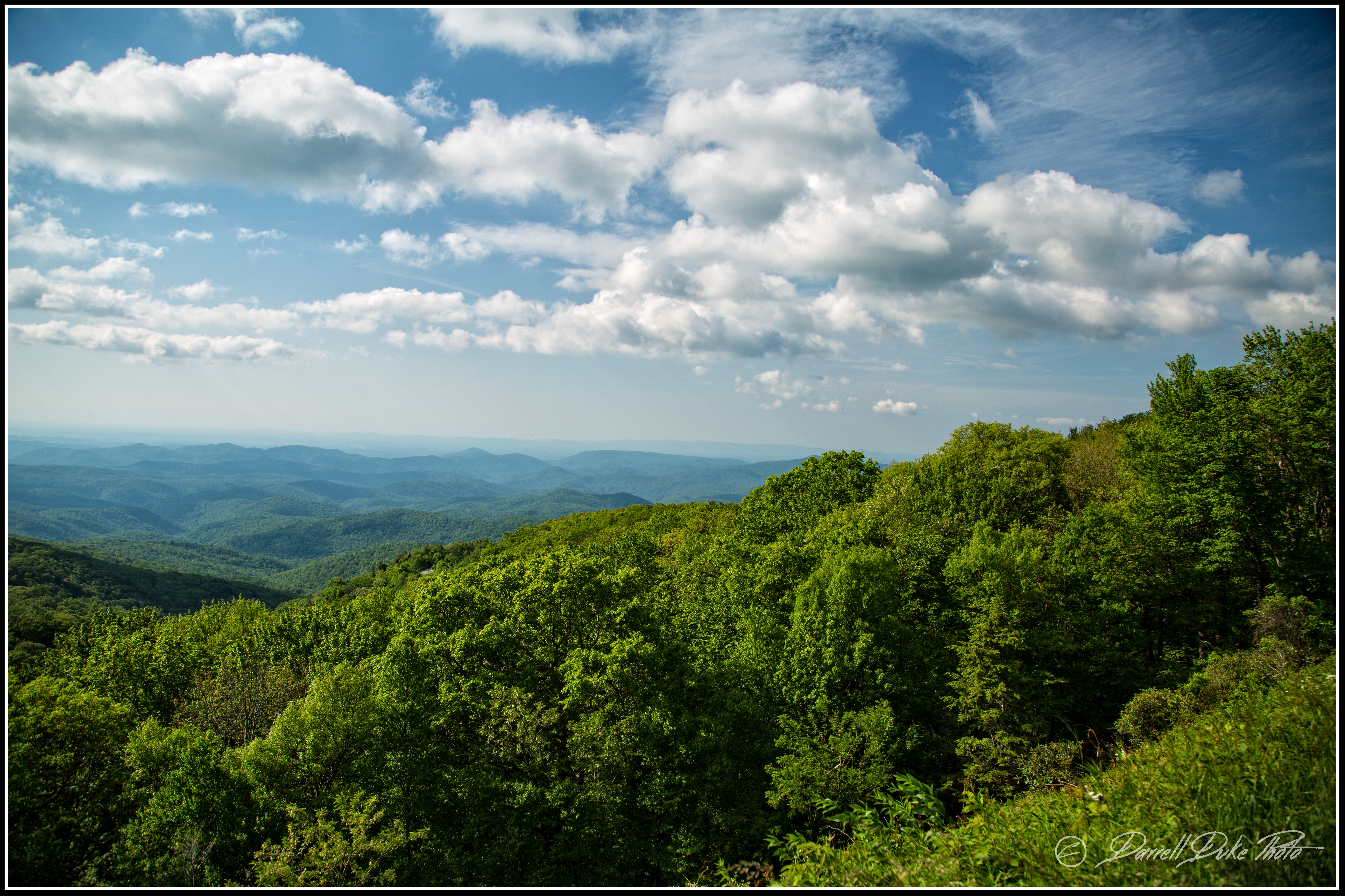
Northern view from Rough Ridge Overlook on the Blue Ridge Parkway
The Who - I can see for miles and miles
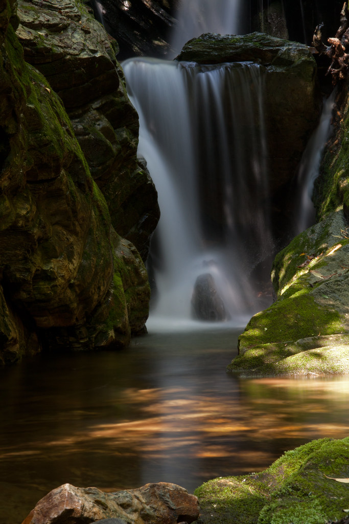
Dugger's Creek Falls Detail
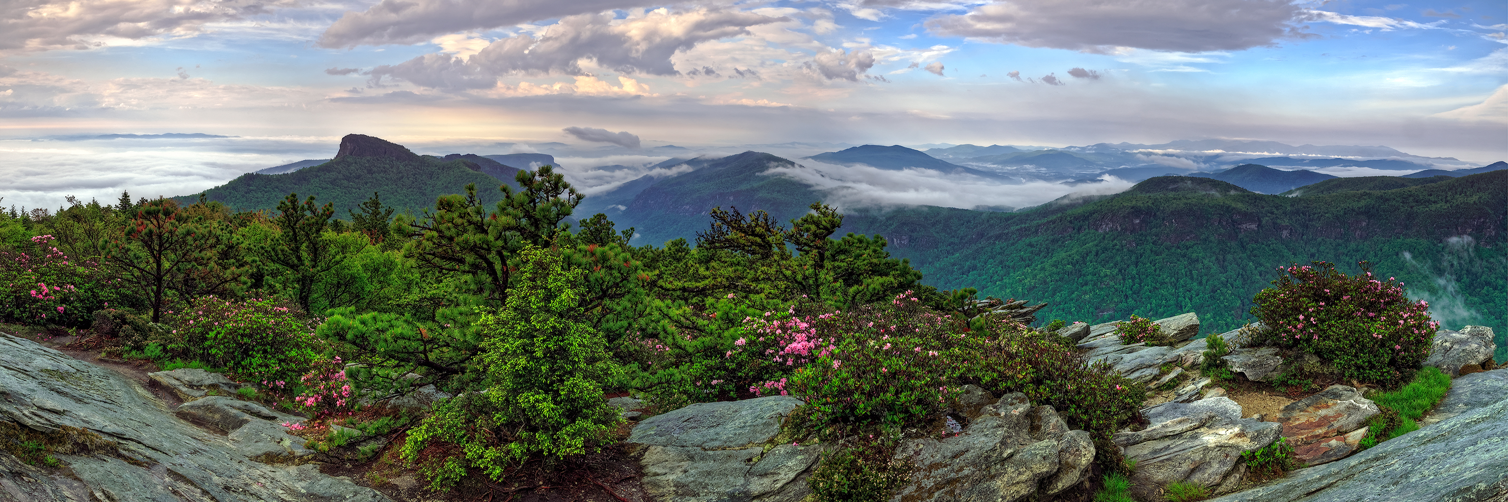
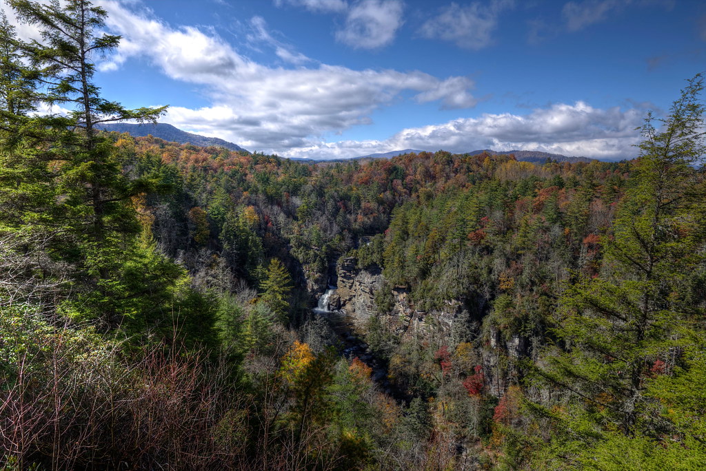
Linville Gorge Skyline
Linn Cove Viaduct
Hawksbill & Bloom 17/52

Grandfather mountain (iPhone photos)
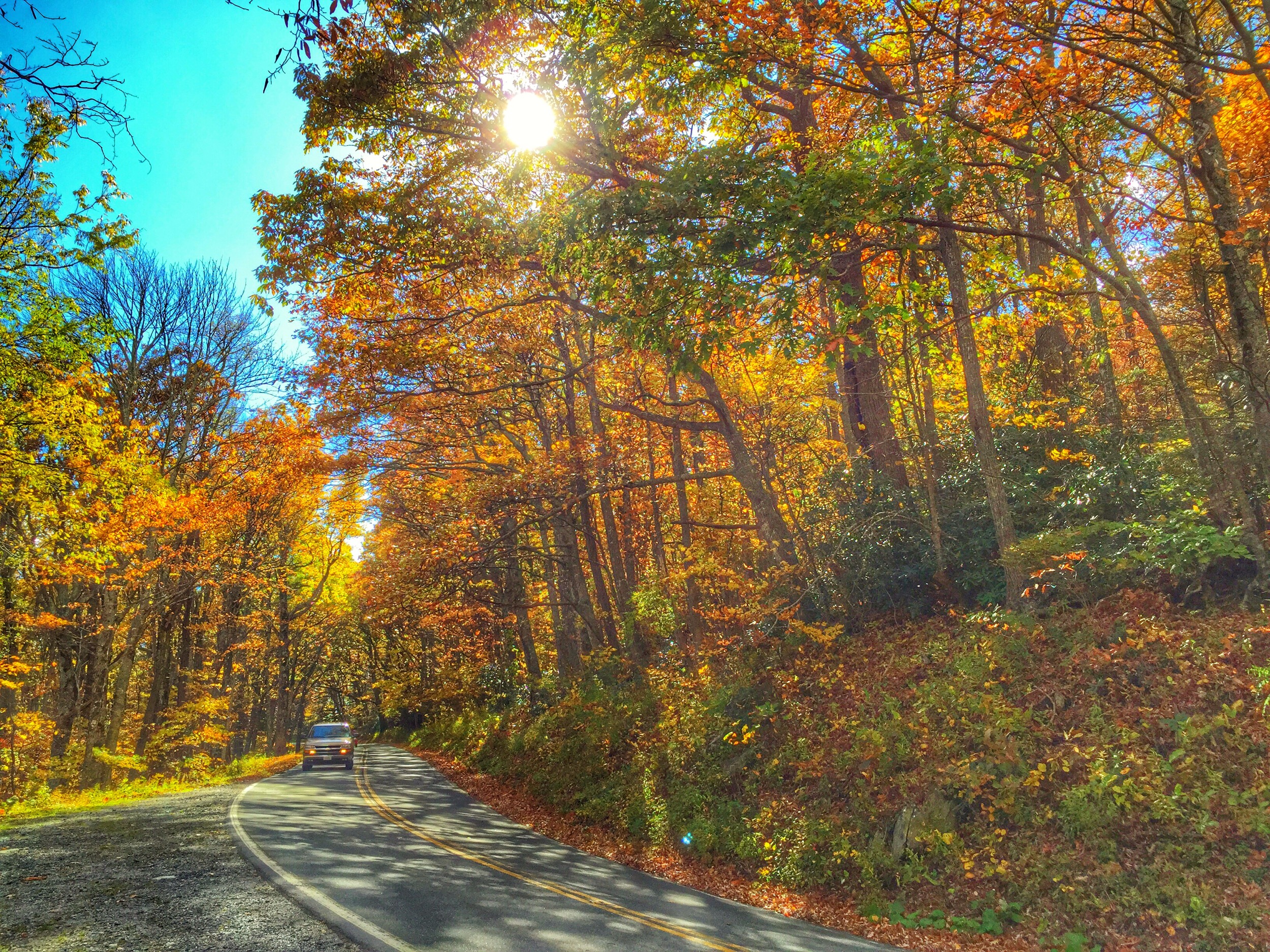
Blue Ridge Parkway over the Linville River

Linville Caverns
Autumn near Grandfather Mt
Grandfather mountain (iPhone photos)
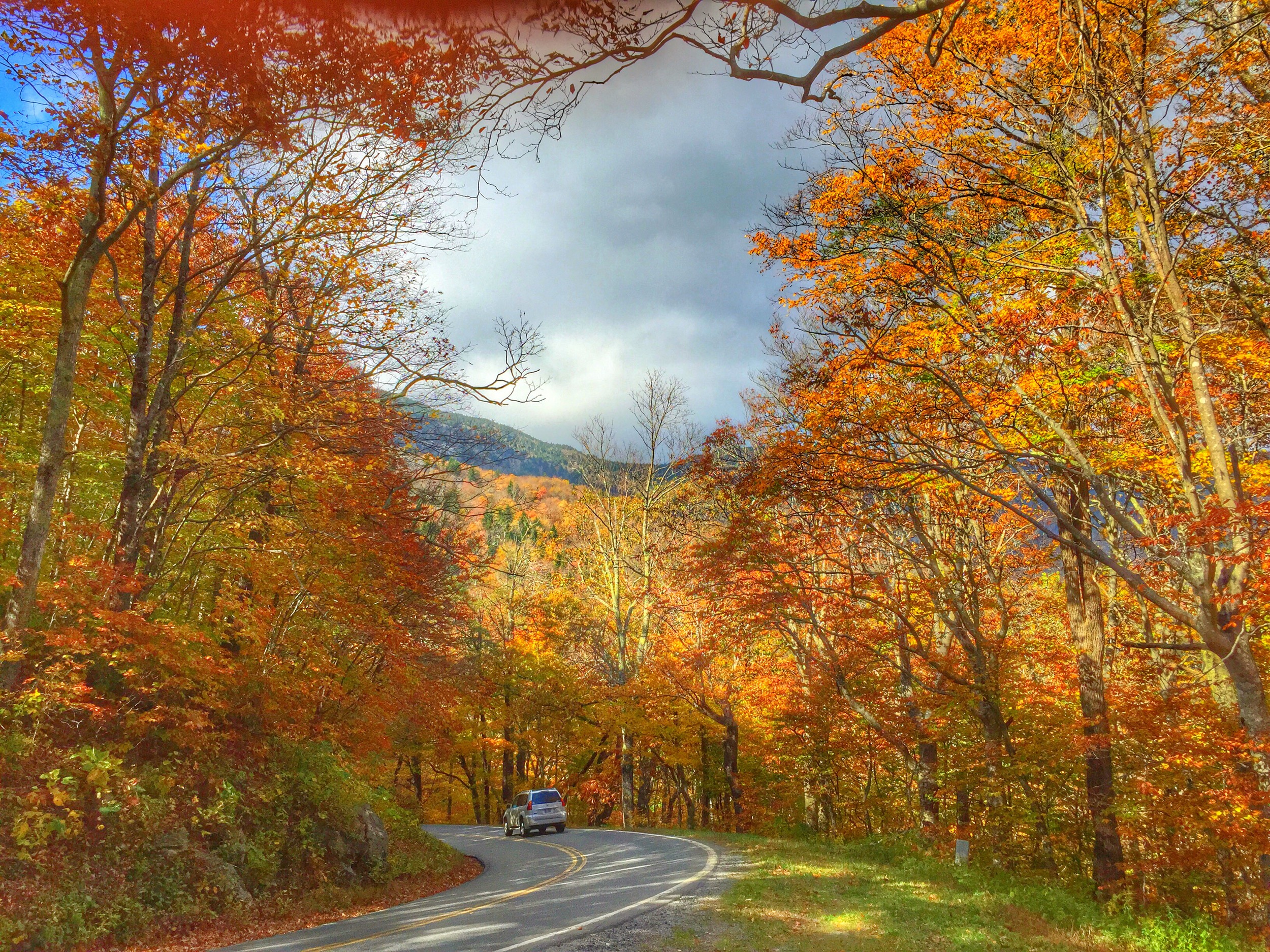
Blue Ridge Pkwy thru the trees
Down River 9/52

North Harper Creek

Trees in Bloom with Lens Flare
Grandfather mountain (iPhone photos)

NC Boone Fork Creek Tanawha Hiking Trail
Bard Falls III
Plunge Basin
Grandfather mountain (iPhone photos)
Linville River [8812]
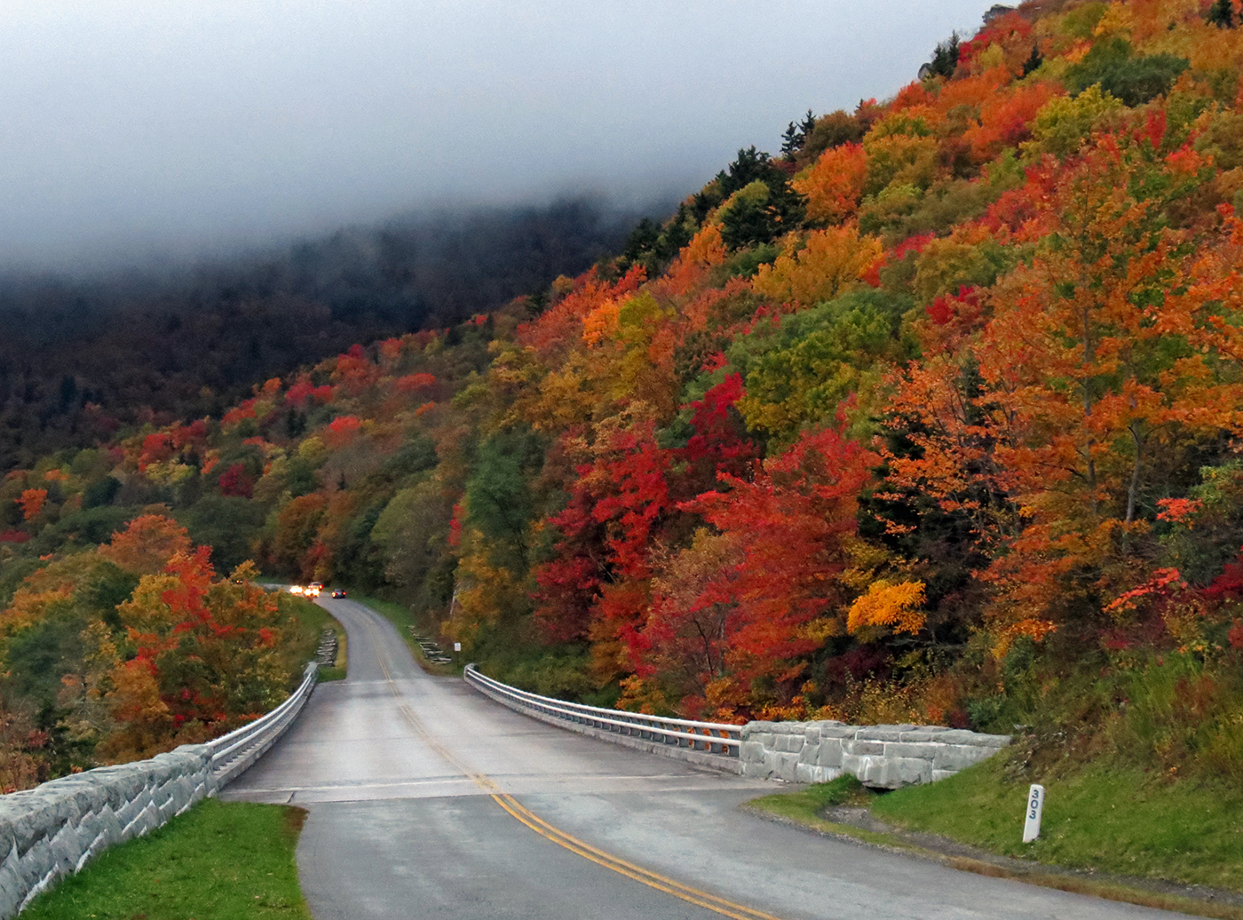
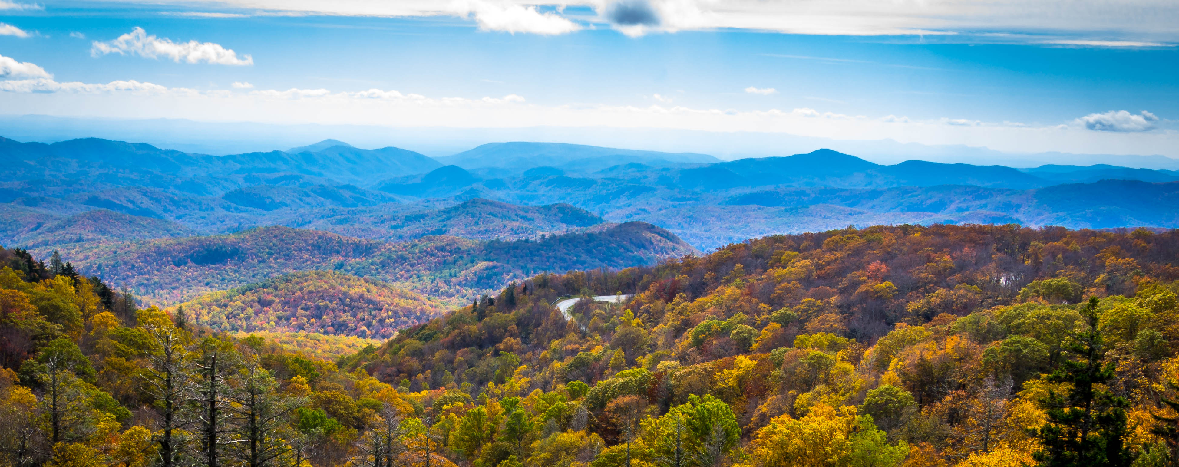
Milepost 303
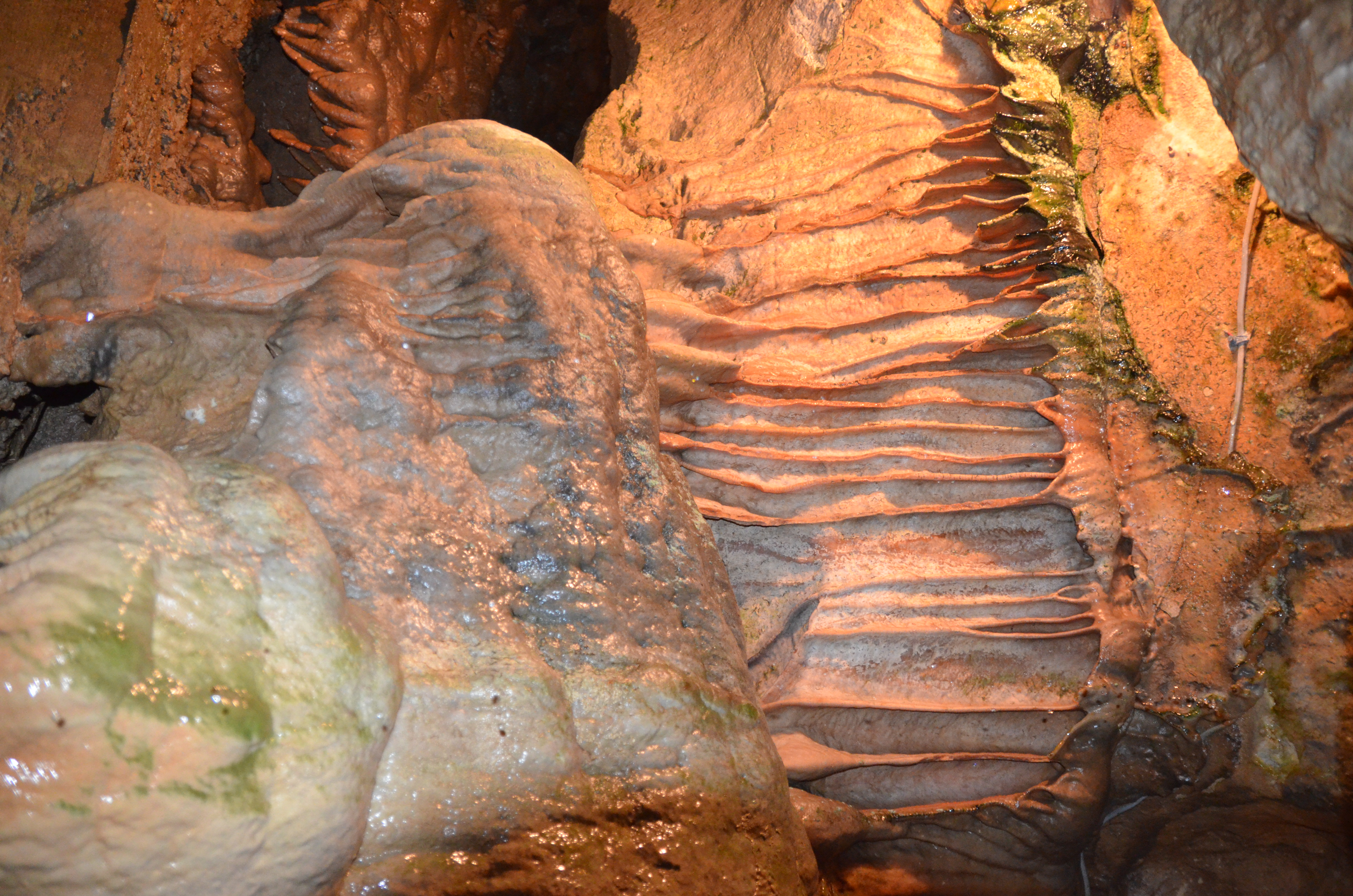
Linville Caverns
Grandfather mountain (iPhone photos)
Topographic Map of Black Bear Trail, Linville, NC, USA
Find elevation by address:

Places near Black Bear Trail, Linville, NC, USA:
193 Lady Slipper Loop
202 Knoll Cir
108 Pine View Rd
74 Harbor Ln
401 Woodcliff Loop
125 Harbor Ln
63 Woodcliff Loop
20 Linville Harbor Pkwy
37 Sarvis Ln
223 Sourwood Knoll
223 Sourwood Knoll
89 Jack Pine Loop
534 Windridge Rd
223 Sourwood Knoll Rd
47 Holly Loop
7 Valley Ln
41 Valley Ln
203 Black Pine Rd
186 Black Pine Rd
64 Trillium Rd
Recent Searches:
- Elevation of Lampiasi St, Sarasota, FL, USA
- Elevation of Elwyn Dr, Roanoke Rapids, NC, USA
- Elevation of Congressional Dr, Stevensville, MD, USA
- Elevation of Bellview Rd, McLean, VA, USA
- Elevation of Stage Island Rd, Chatham, MA, USA
- Elevation of Shibuya Scramble Crossing, 21 Udagawacho, Shibuya City, Tokyo -, Japan
- Elevation of Jadagoniai, Kaunas District Municipality, Lithuania
- Elevation of Pagonija rock, Kranto 7-oji g. 8"N, Kaunas, Lithuania
- Elevation of Co Rd 87, Jamestown, CO, USA
- Elevation of Tenjo, Cundinamarca, Colombia