Elevation of Birdnest Ct, Oklahoma City, OK, USA
Location: United States > Oklahoma > Canadian County > Mustang > Southwest Oklahoma City >
Longitude: -97.662144
Latitude: 35.3621769
Elevation: 394m / 1293feet
Barometric Pressure: 97KPa
Elevation Map:
Satellite Map:
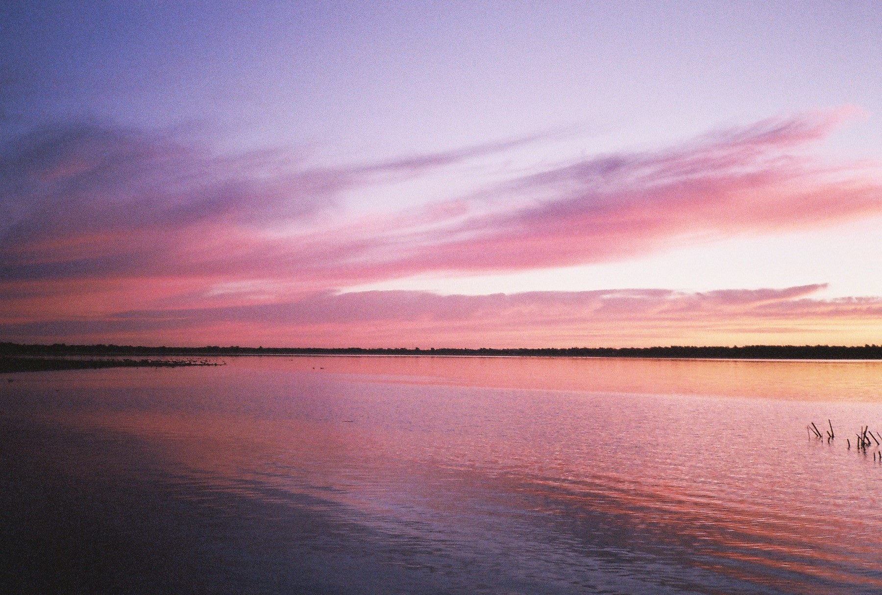
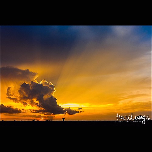
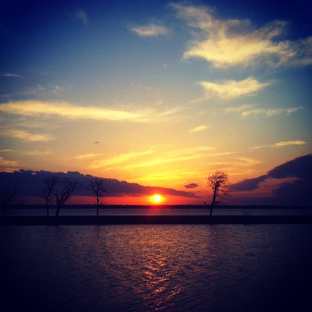
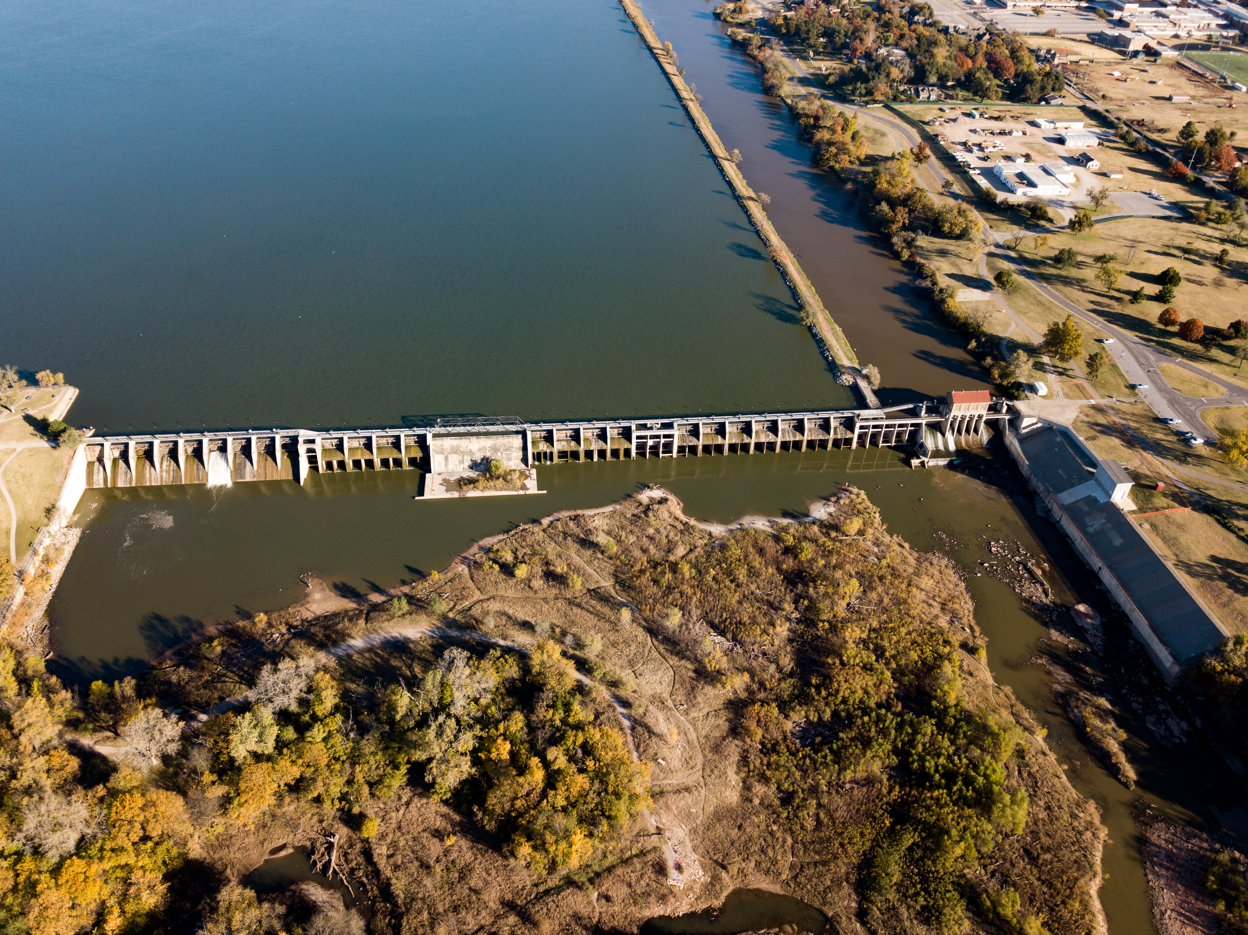
Related Photos:

“The view through a plastic container trapped in the brush”

Drone_View (26 of 56)

MY ALTAR...
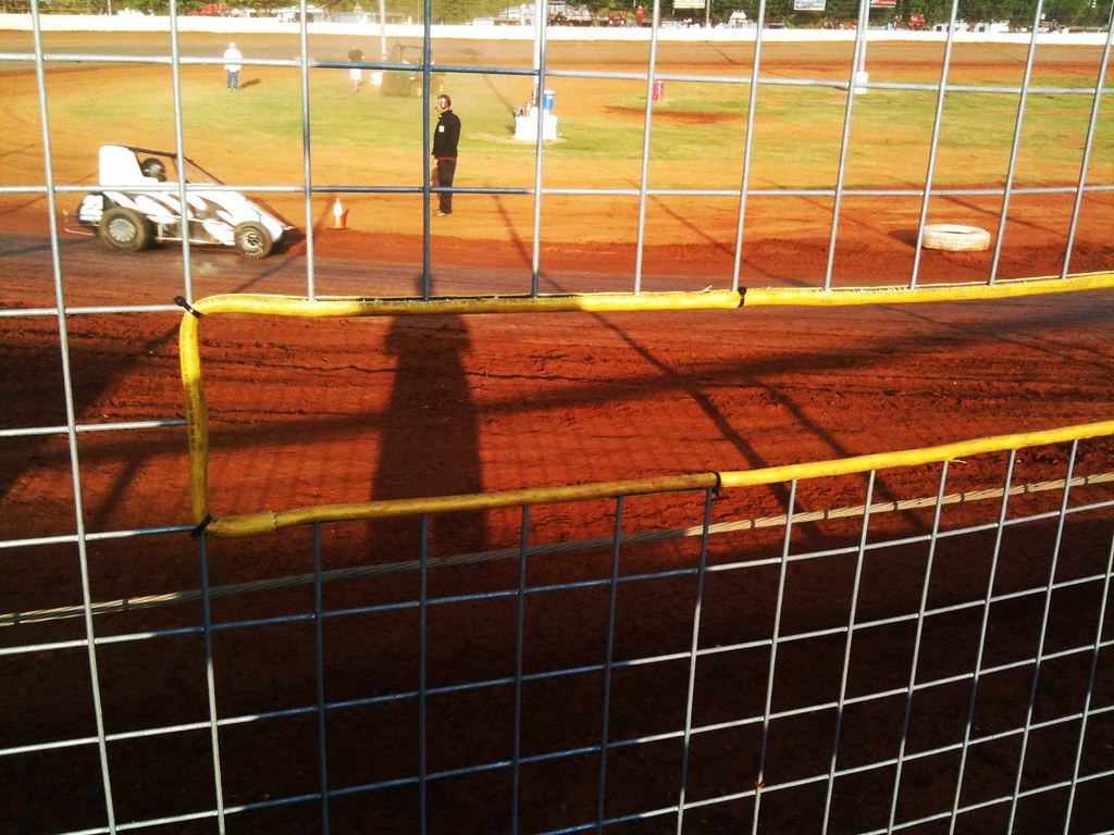
Window Of Opportunity - I-44 Riverside Speedway - Oklahoma City, OK
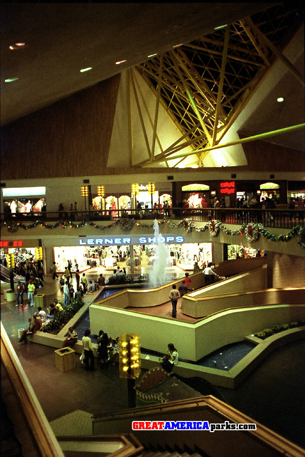
Crossroads Mall, Oklahoma City
Drone_View (33 of 56)
Drone_View (41 of 56)
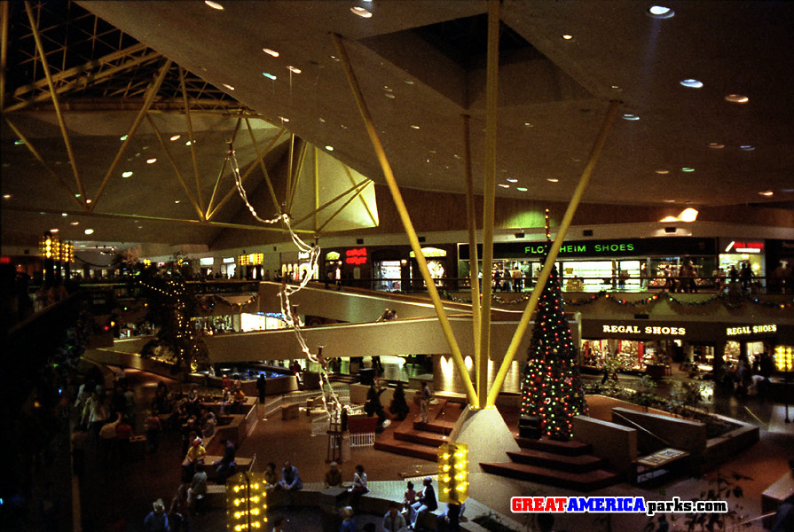
Crossroads Mall, Oklahoma City
Drone_View (18 of 56)

Scott Kelby’s Worldwide Photowalk 2017b (4 of 5)

Day 158: Still Waters
Winchester_Drive-In_Theater (18 of 20)

MY TRIBUTE TO THE BRAVE

TOP GEAR - DARKMOON STYLE

Moving Forward

Will Rogers World Airport

Will Rogers World Airport

WOOD-O RELAXES DOWN BY THE LAKE

Will Rogers World Airport
THRU THE VIEW FINDER OF MY ARGOFLEX SEVENTY-FIVE
Droning (1 of 13)

11 Photo panoramic near Canmore, Alberta
The Lady and Her Dog_MG_1654
Golden fields
Nursing it back to health. Last Monday that brown spot was half the yard. #grass

At GT Mechanical
"Sunday evening thunderstorms"
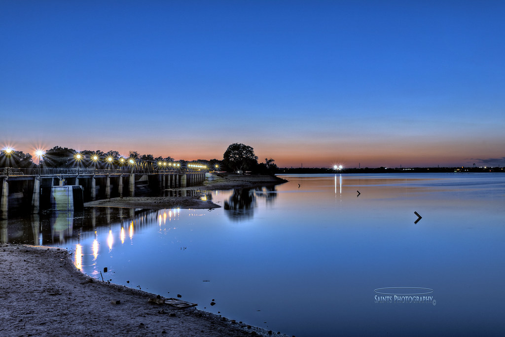
Overholser Dam Night shots, okc_tonemapped
WATER THERAPY

Longhorn in the Fog - Mustang, Oklahoma
Droning (1 of 17)
Overholser Dam Night shots, okc__-2_-3_tonemapped (1)
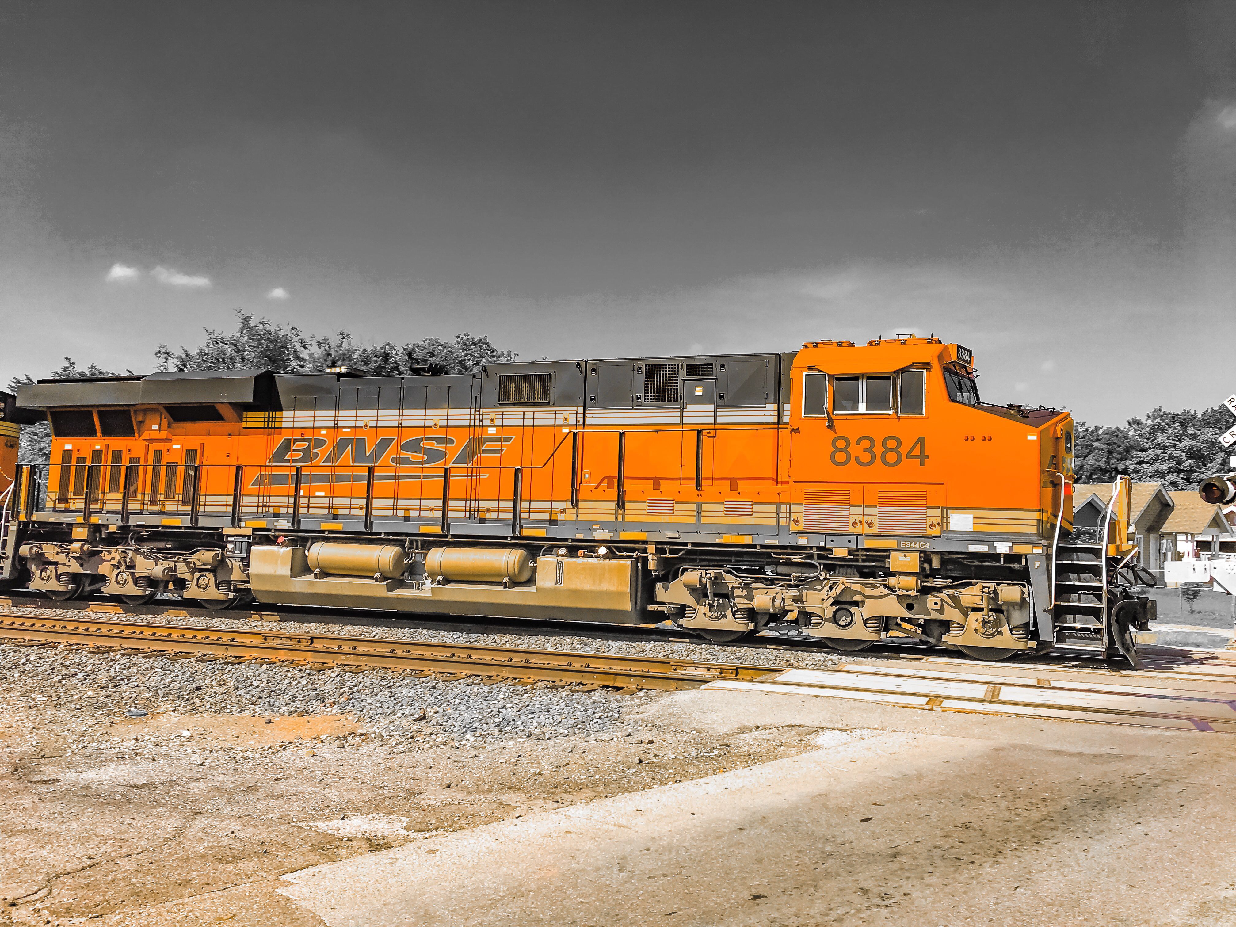
“BNSF 8384” crossing South Grand Boulevard near Shields. Oklahoma City, Oklahoma.

Hope no delays with this fog... Or do I... Hmmm!
Evening Time #2
IN THE FIELD
purple overholser
I couldn't resist this sunset over Mustang on the way home. #mustang #sunset #drive
Yes, I'm still here.

photo.JPG
Pano2 (30 of 41)
Topographic Map of Birdnest Ct, Oklahoma City, OK, USA
Find elevation by address:

Places near Birdnest Ct, Oklahoma City, OK, USA:
Main, Oklahoma City, OK, USA
2141 E Brook Terrace
Wheatland
SW th Pl, Oklahoma City, OK, USA
8401 Sw 44th St
Pebble Creek Apartments
Southwest 89th Street
E Forster Ln, Mustang, OK, USA
Mustang
Southwest Oklahoma City
Oklahoma Contractors Supply
7620 S Ross Ave
5324 Drexel Ave
4 S Morgan Rd
Best Buy
Trapper's Fishcamp & Grill
9113 S Sharon St
9112 S Sharon St
Kingsridge
700 Dusty Trail
Recent Searches:
- Elevation of Congressional Dr, Stevensville, MD, USA
- Elevation of Bellview Rd, McLean, VA, USA
- Elevation of Stage Island Rd, Chatham, MA, USA
- Elevation of Shibuya Scramble Crossing, 21 Udagawacho, Shibuya City, Tokyo -, Japan
- Elevation of Jadagoniai, Kaunas District Municipality, Lithuania
- Elevation of Pagonija rock, Kranto 7-oji g. 8"N, Kaunas, Lithuania
- Elevation of Co Rd 87, Jamestown, CO, USA
- Elevation of Tenjo, Cundinamarca, Colombia
- Elevation of Côte-des-Neiges, Montreal, QC H4A 3J6, Canada
- Elevation of Bobcat Dr, Helena, MT, USA