Elevation of Bird Township, IL, USA
Location: United States > Illinois > Macoupin County >
Longitude: -89.981344
Latitude: 39.2998645
Elevation: 188m / 617feet
Barometric Pressure: 99KPa
Elevation Map:
Satellite Map:
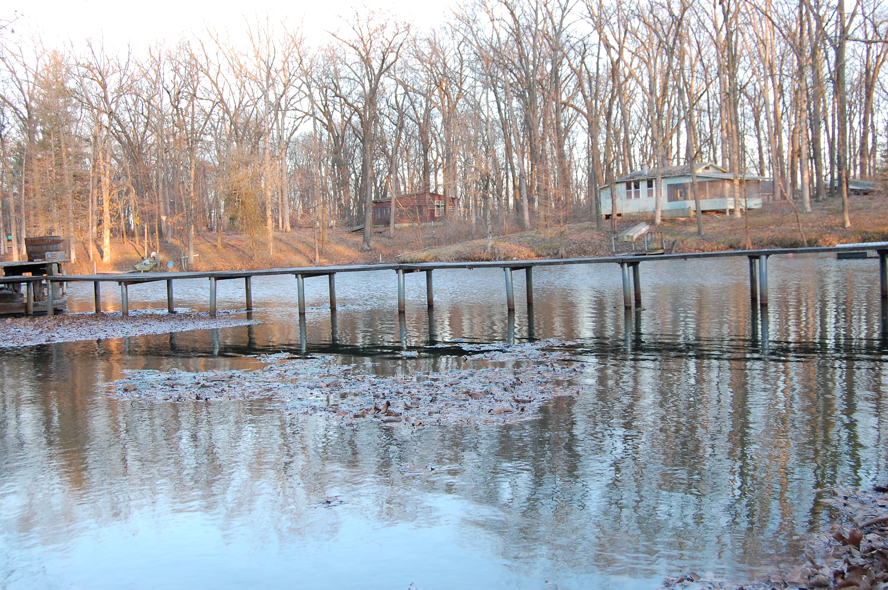
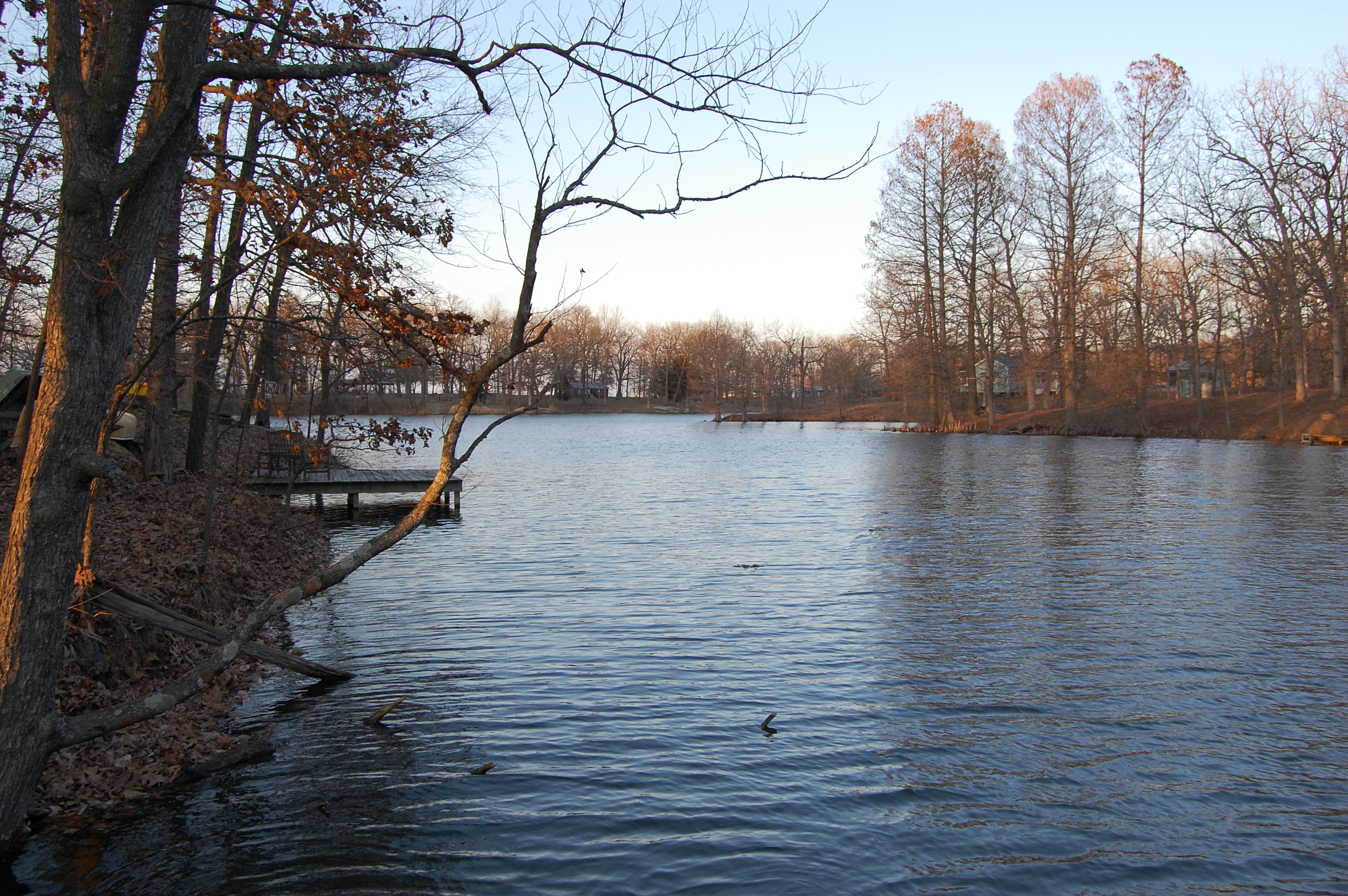
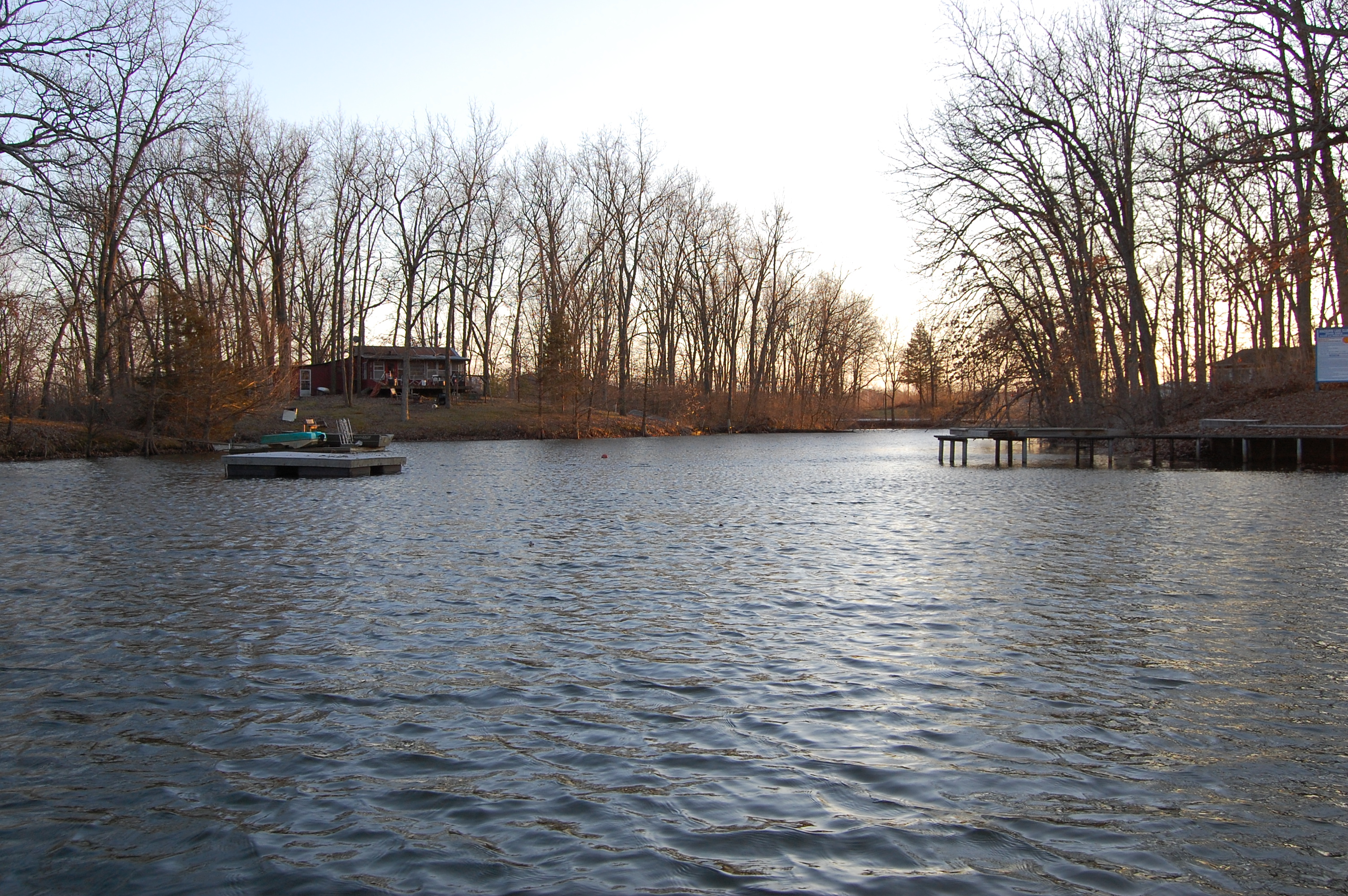
Related Photos:
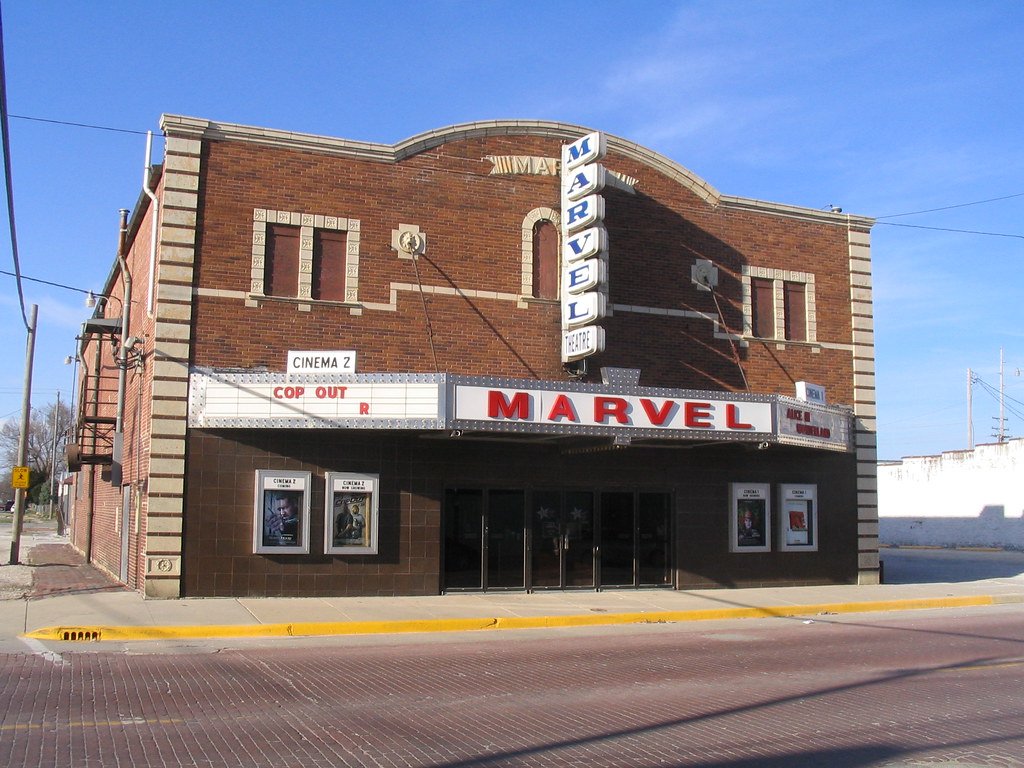
Marvel Theater
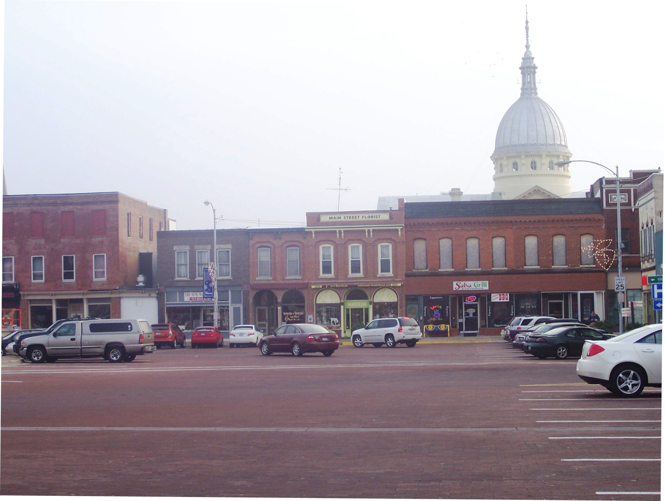
Carlinville Illinois Town Square
Wabash Nightlife
homework 036

homework 041

Turtles,geese
homework 038

homework 035
homework 030
homework 029

Beaver_Dam_20161126_019-Edit-2

So Close
Topographic Map of Bird Township, IL, USA
Find elevation by address:

Places in Bird Township, IL, USA:
Places near Bird Township, IL, USA:
Rhodes Greenhouse
Macoupin County
18400 Shipman Rd
Carlinville
Blackburn College
Carlinville Township
Co Rd 20, Waggoner, IL, USA
43 Prairie St, Standard City, IL, USA
Gillespie Township
Standard City
Shaws Point Township
Gillespie
Macoupin St, Gillespie, IL, USA
Gillespie, IL, USA
Mansholt Rd, Bunker Hill, IL, USA
Bunker Hill Township
Berry St, Gillespie, IL, USA
Bunker Hill
Main St, Waggoner, IL, USA
N Lincoln St, Mt Olive, IL, USA
Recent Searches:
- Elevation of Pinewood Dr, New Bern, NC, USA
- Elevation of Mountain View, CA, USA
- Elevation of Foligno, Province of Perugia, Italy
- Elevation of Blauwestad, Netherlands
- Elevation of Bella Terra Blvd, Estero, FL, USA
- Elevation of Estates Loop, Priest River, ID, USA
- Elevation of Woodland Oak Pl, Thousand Oaks, CA, USA
- Elevation of Brownsdale Rd, Renfrew, PA, USA
- Elevation of Corcoran Ln, Suffolk, VA, USA
- Elevation of Mamala II, Sariaya, Quezon, Philippines